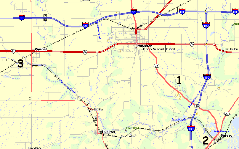
Some photos around Princeton IL, Bureau (Junction) IL, Wyanet IL
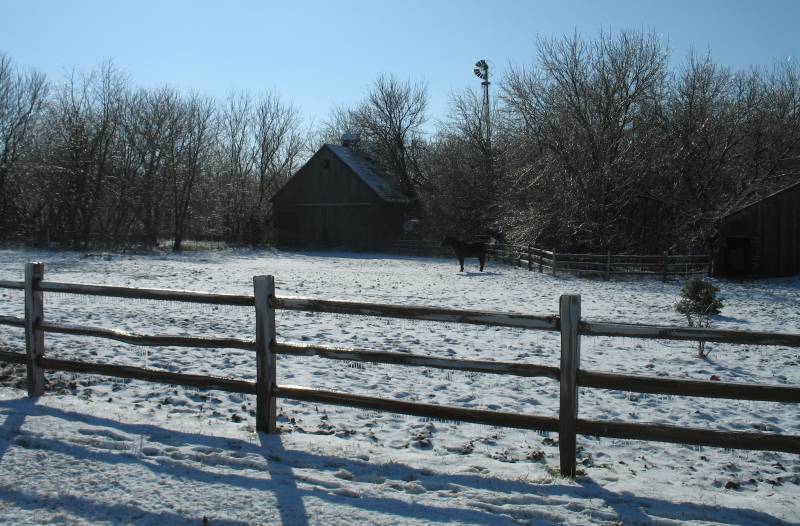
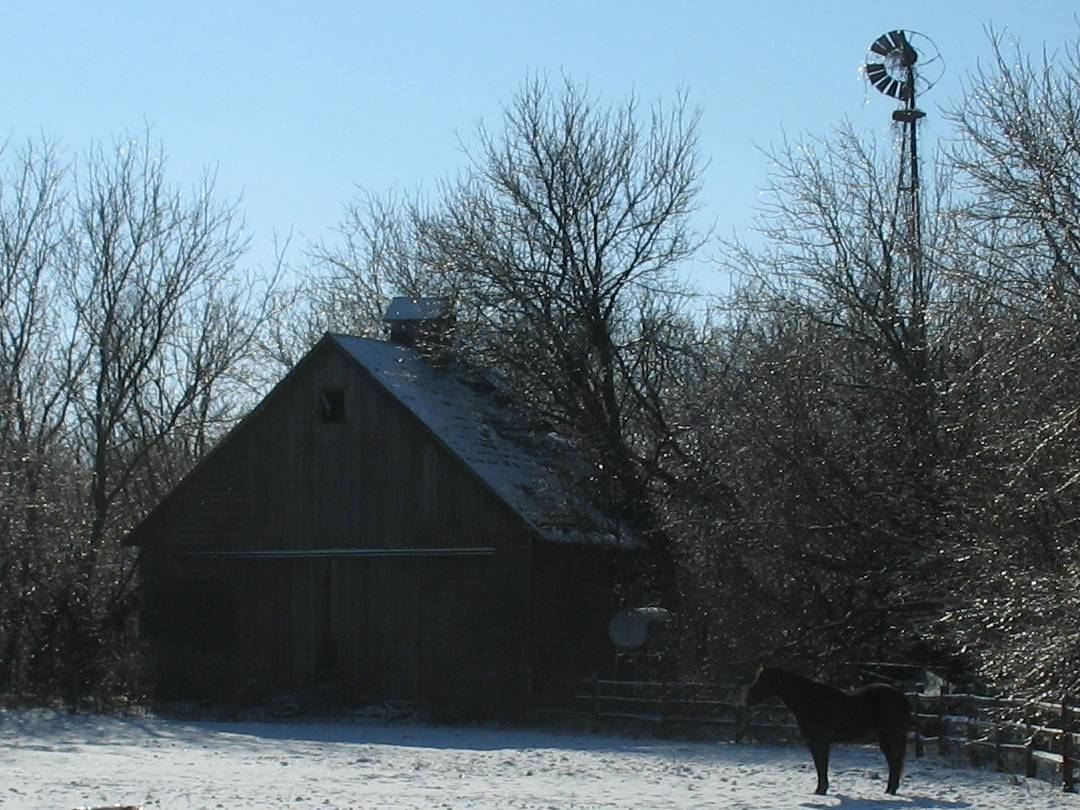
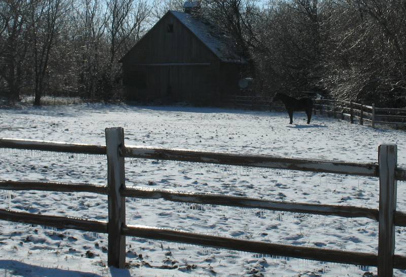
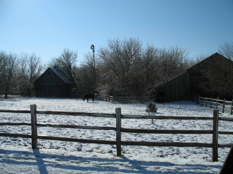
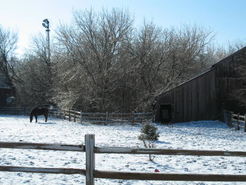
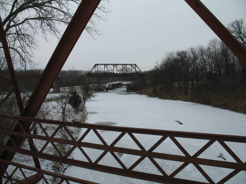
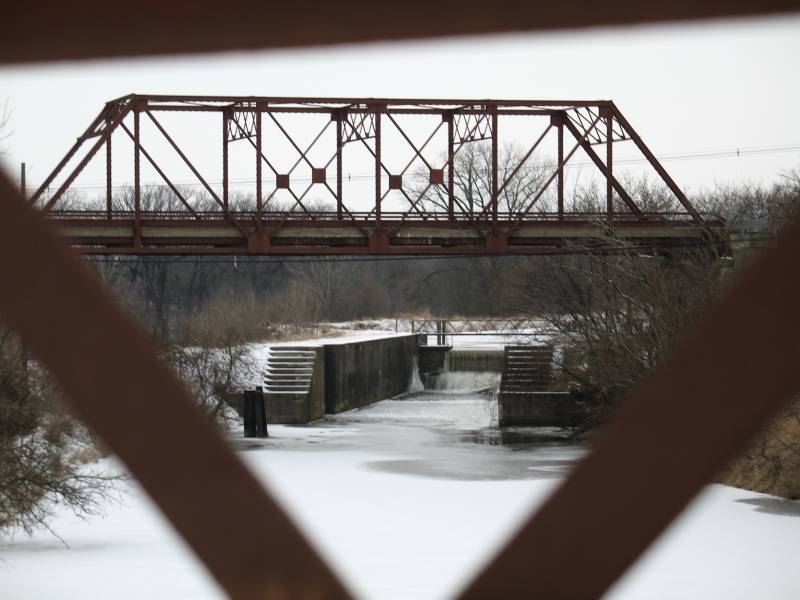
1 - Horse & farm building, 2 - Canal water flow, 3 - Canal bridges
| The trees are shining from a coating of ice |

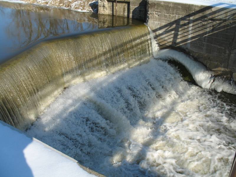
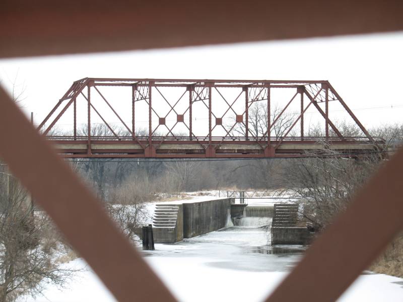
| The last or second to last lock
(I think it's called Lock 2, Lock 32 is at the western end where the
Rock River ends at the Mississippi River near the Quad Cities) at the
Eastern end of the Hennepin Canal. Only one lock remains in working order and the rest have been decomissioned (like this one). The gates were removed and a "spillway wall" was added at the high end of each lock. The canal is a nice place to go walking / exercising as the canal is defunct and turned into a park - one long, thin park (about 100 miles long and 100 feet wide). Its purpose was to reduce the cost of shipping goods by giving some competition to the railroads as well as shortening the water route from the upper Mississippi River to Chicago. Unfortunately, locks on the Mississippi and Illinois rivers were widened about the time this, narrow locked, canal was finished. The larger barges would not fit in this narrow canal and it would be cost prohibitive to widen the canal. Only a few token loads processed through it. |
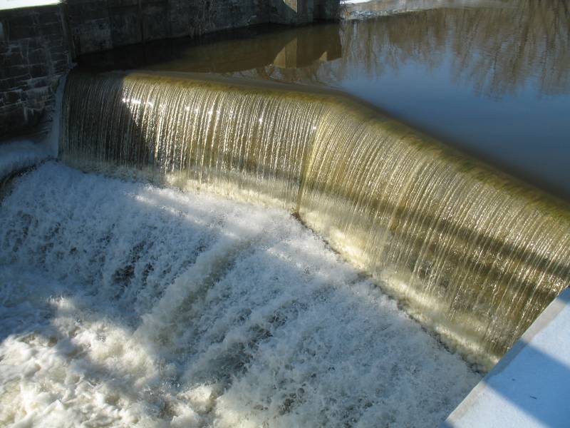
| Most of the spillway walls are straight across but this has a V design to it. Video Spillway water (not too exciting) water-flow.wmv WMV, 4.6MB, 19 seconds |
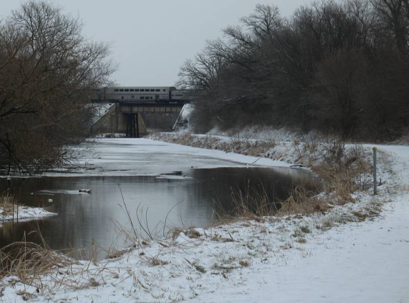
| Farther West on the canal - just west of Wyanet IL. You can see the path at the side of the canal. I think the whole canal has a path next to it. Only a vary slight grade the whole way - flatter than many railroad bed paths. |
| South of Wyanet |
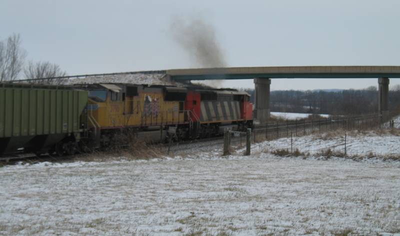
| Westbound @ Wyanet |