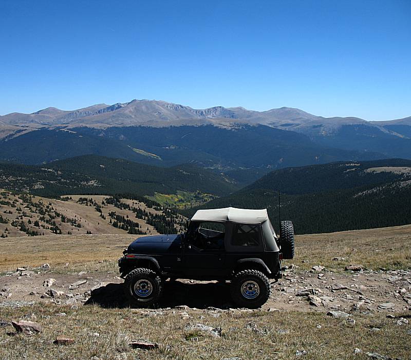
Red Cone & Radical Hill trails
| The plan is to meet with Ray and family & friend
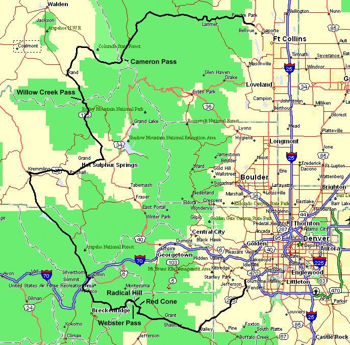
at Baily CO and then travel the Red Cone and Radical Hill trails,
exiting north of Breckenridge. The weather's perfect and it turned out
to be a memory day in the mountains (as the copious photos should
detail). Enjoy! The video clips, hit it if you wish to get a taste of driving the trail but you can easily skip it. If you're on the fence, just go for the short version. Video Assorted clips from the day Short version 81MB, 2m55s, 640x480, MPEG4 JimWilliamson-2012-09-09-red-cone--radical-hill--short.mp4 Long (uncut) version 148MB, 5m20s, 640x480, MPEG4 JimWilliamson-2012-09-09-red-cone--radical-hill--full.mp4 |
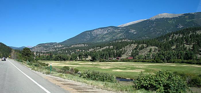
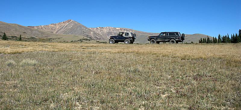
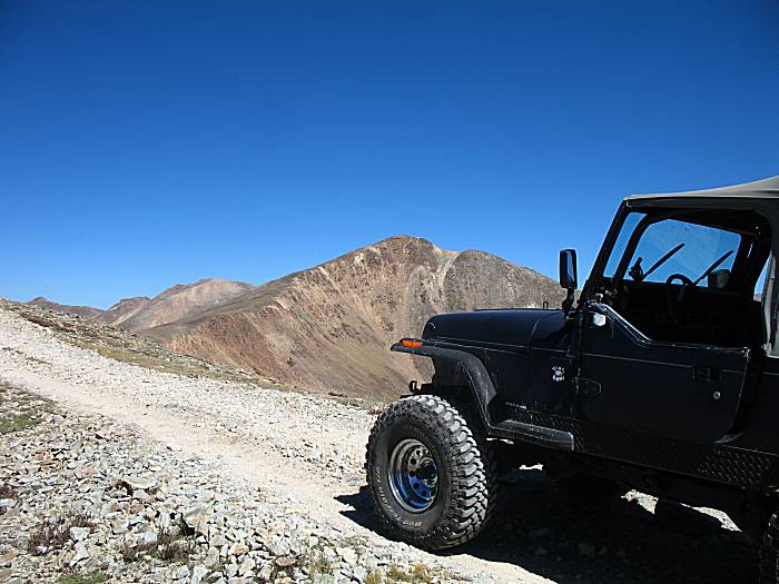
| US-285 on the way to the Red Cone trailhead. |
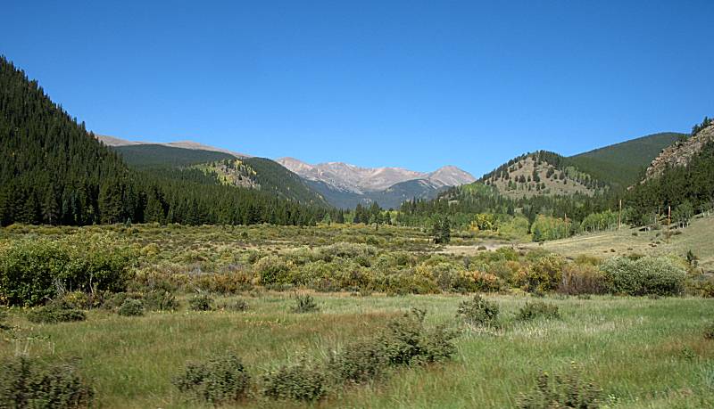
| Off of US-285 heading up the gravel road to the trailhead. |

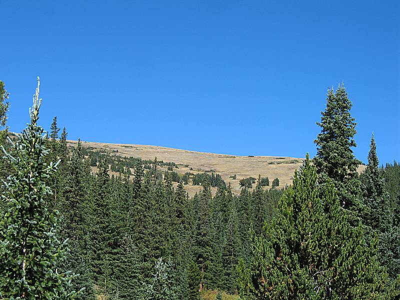
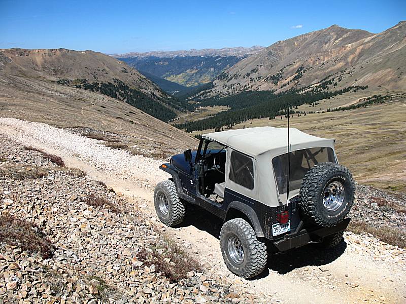
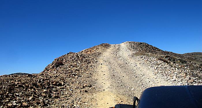
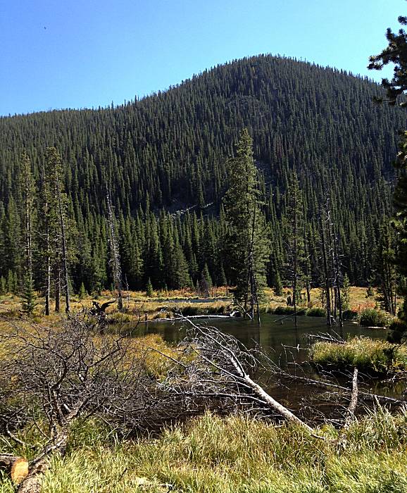
| Near the start of the Red Cone trail. |
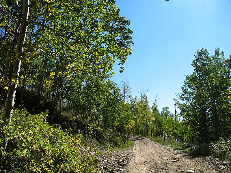
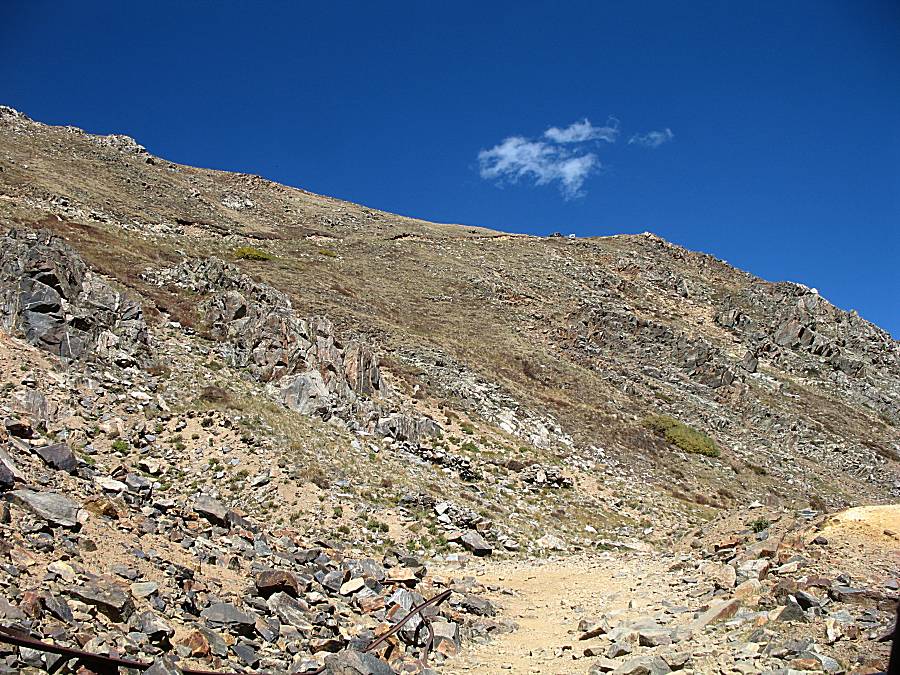
| The trail is fairly tame (not many big "obstacles" to get over or around). |
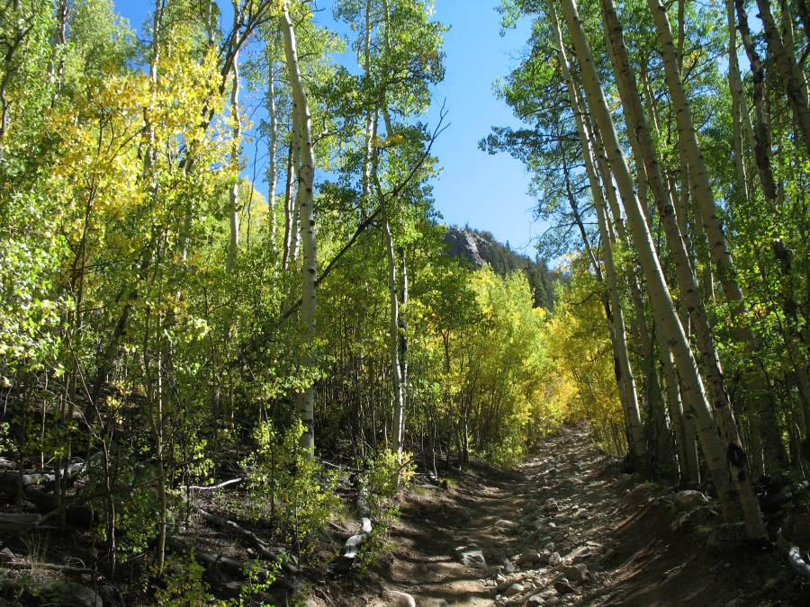
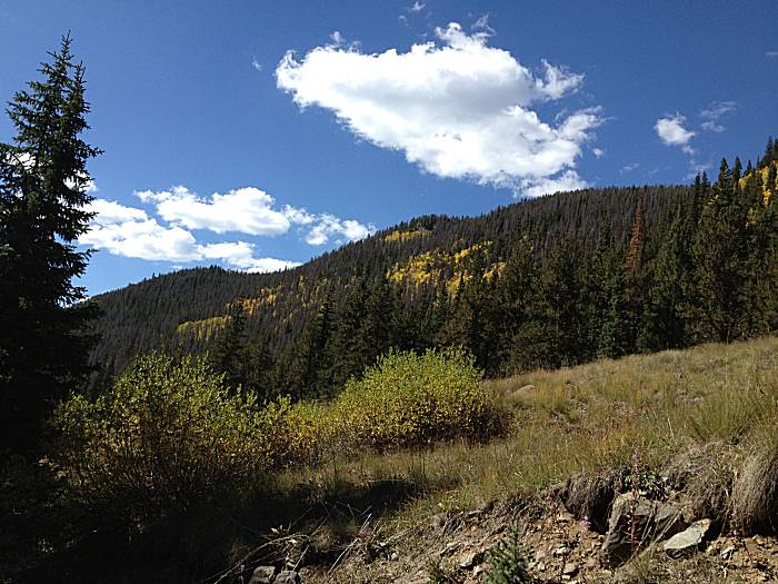
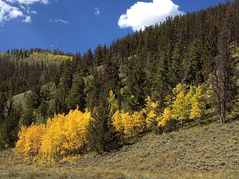
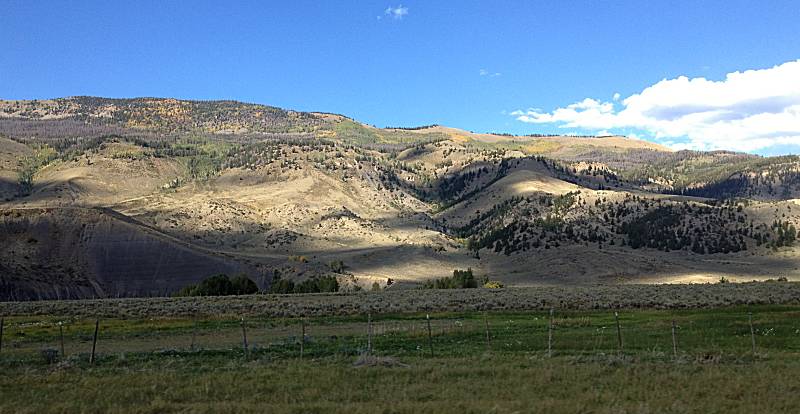
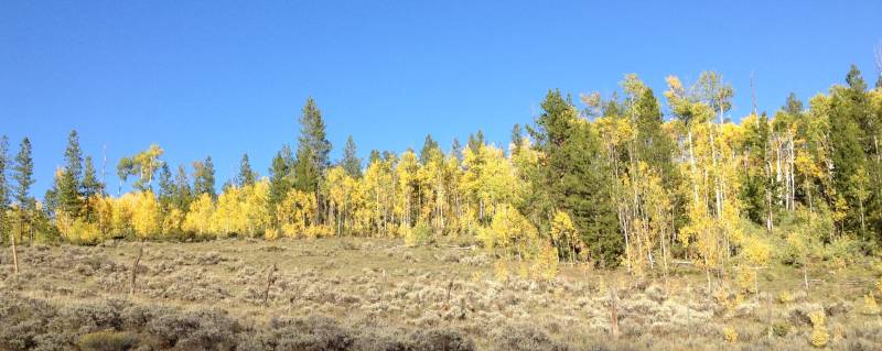
| The Aspen trees are near peak color. While I miss the "Maple reds" of the Midwest, I do enjoy a swath of Aspen Gold on a hillside of deep green pine. |
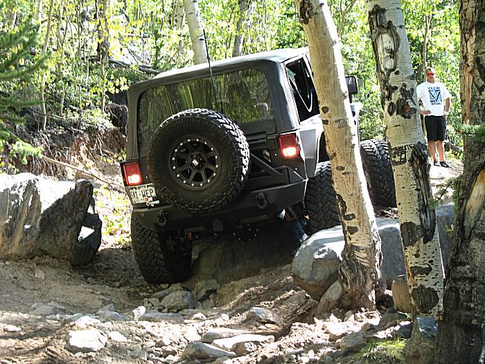
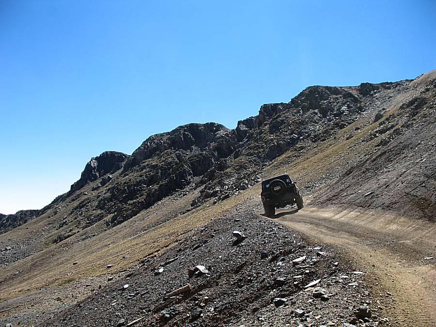
| This is perhaps Red Cone's only significant obstacle. One rock area to get past. This driver is trying to drive directly over it. The tires aren't high enough and the rear differential is hitting the rock, blocking forward progress. The driver ended up moving to the right to have the rear wheel roll over (vs. around) the rock. |
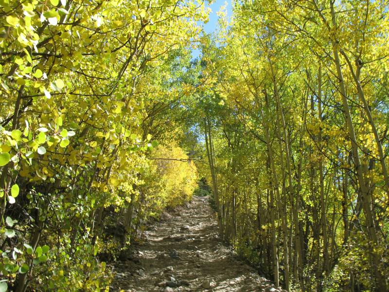
| Yellow tunnel! One item on the nice list of why today's going to be a well remembered day. |
| Vehicle parked trailside - they're off hiking or camping. |

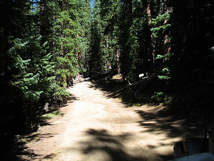
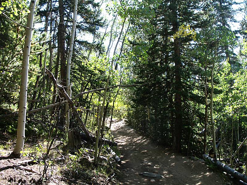
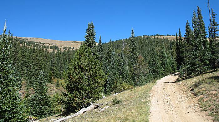
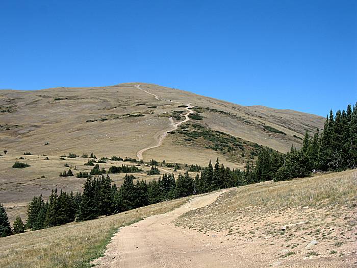
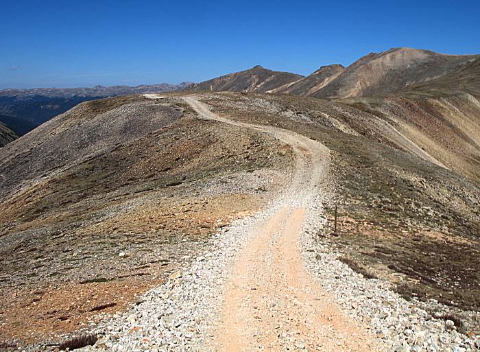
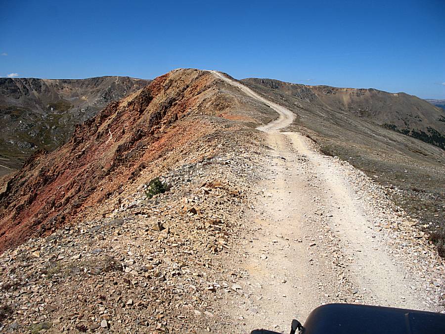
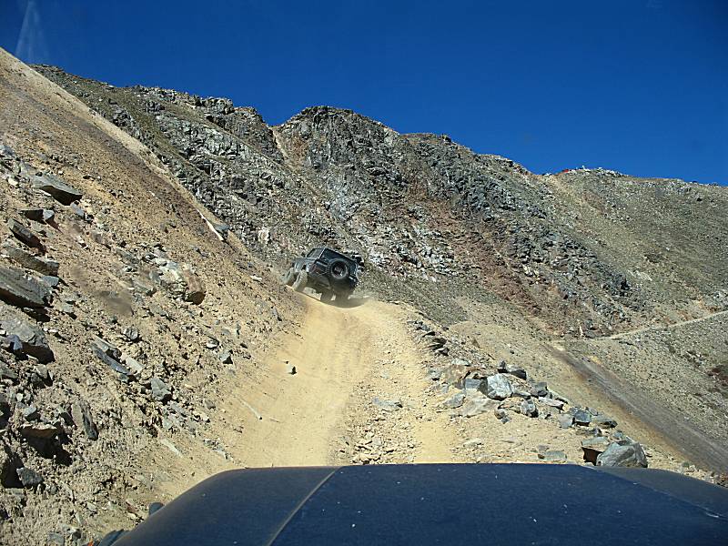
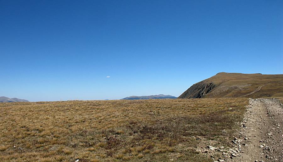
| A glimpse of the trail as it heads up the mountain. |

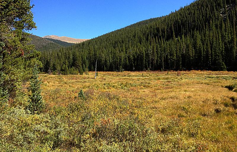
| I'm a fan of non-rocky soil trails as they're not as bumpy. Dealing with the typical bumpy, rocky trails is the "admission fee" paid for the views to be enjoyed. |
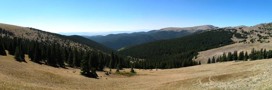
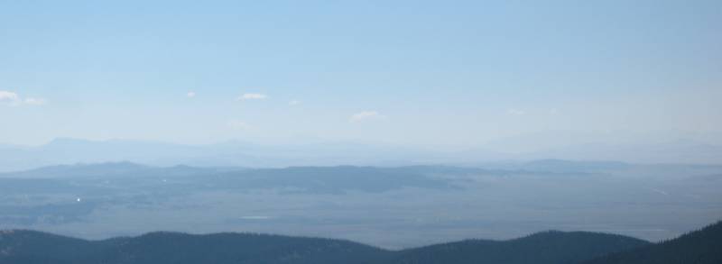
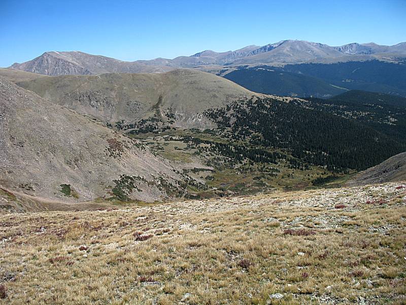
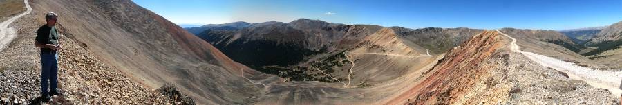
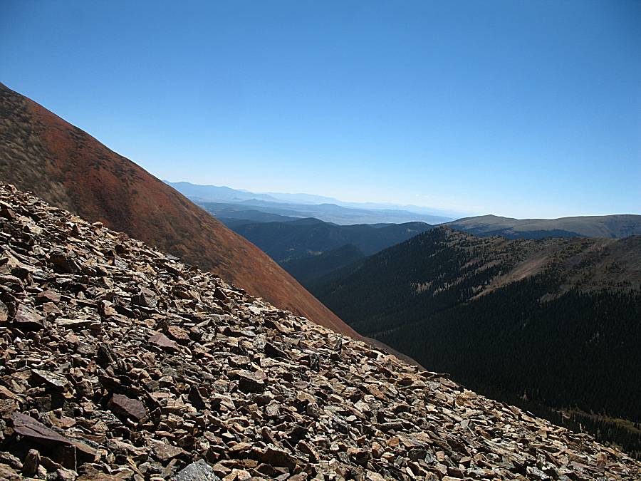
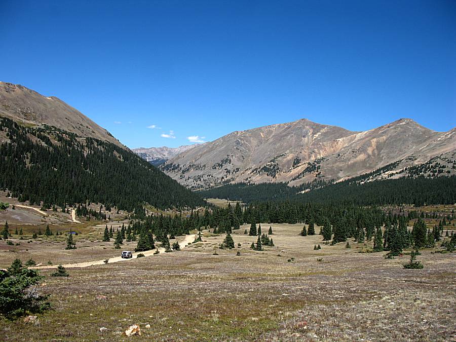
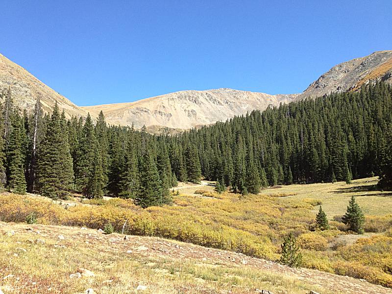
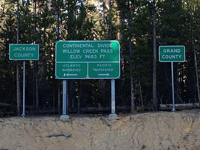
| At the top edge of the timberline fringe (where
trees don't grow). This is roughly about 12,000 Feet elevation. In the
distance is the area called South Park. Parks are different from
valleys (they're wide, somewhat flat areas in the mountains, ringed by
mountains?). Colorado has three parks - North Park (major town in
it is Walden CO), Middle Park (major town in it is Granby CO), and
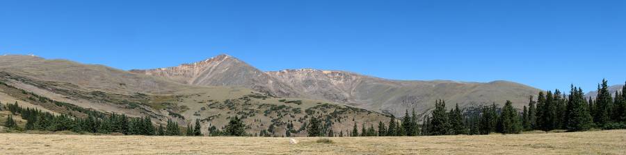
South Park (major town in it is Fairplay CO). Panorama Click for a larger size |
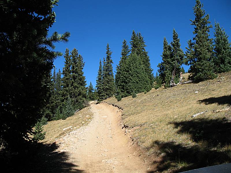
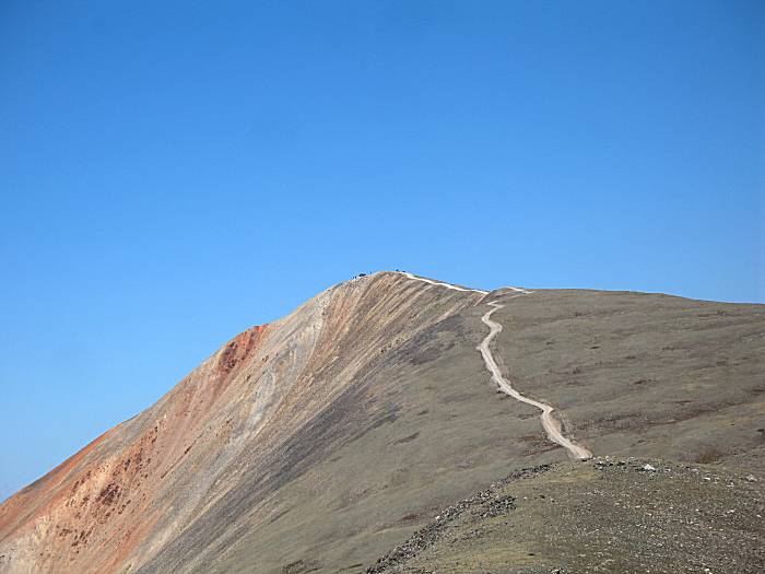
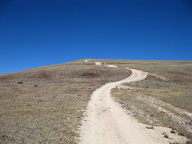
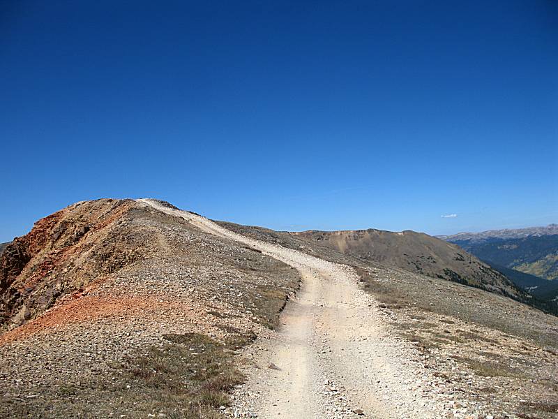
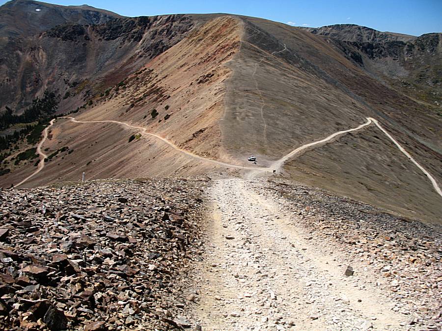
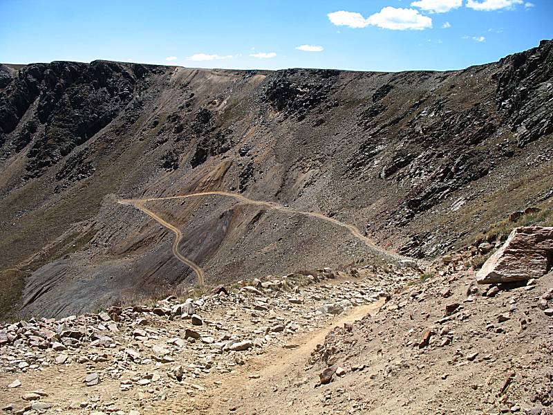
| A closer view of the trail snaking up the hillside. |
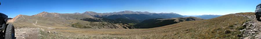
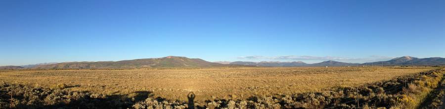
| Looking northward Panorama Click for a larger size |
| A zoom view looking southeast over the South Park area. |

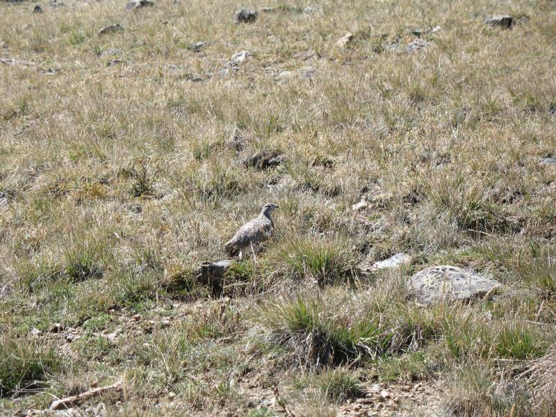
| First bit of wildlife - quite still, trying to be "invisible". |
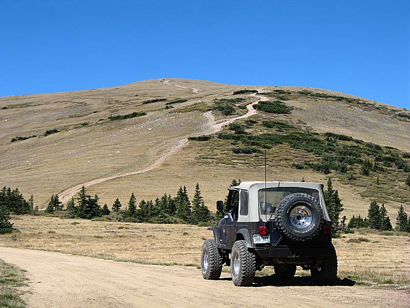
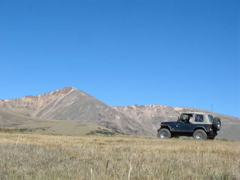
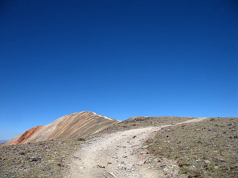
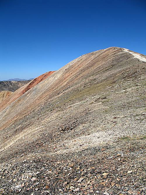
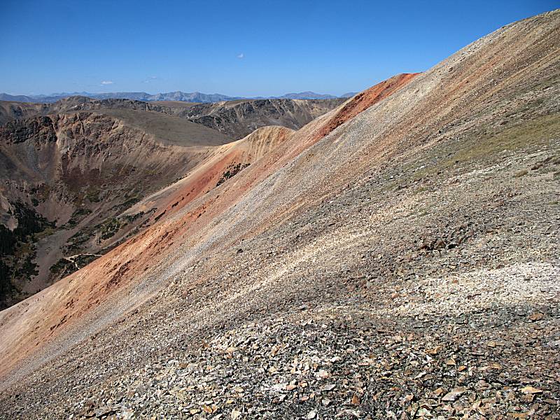
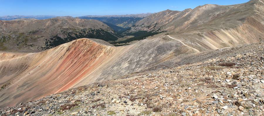
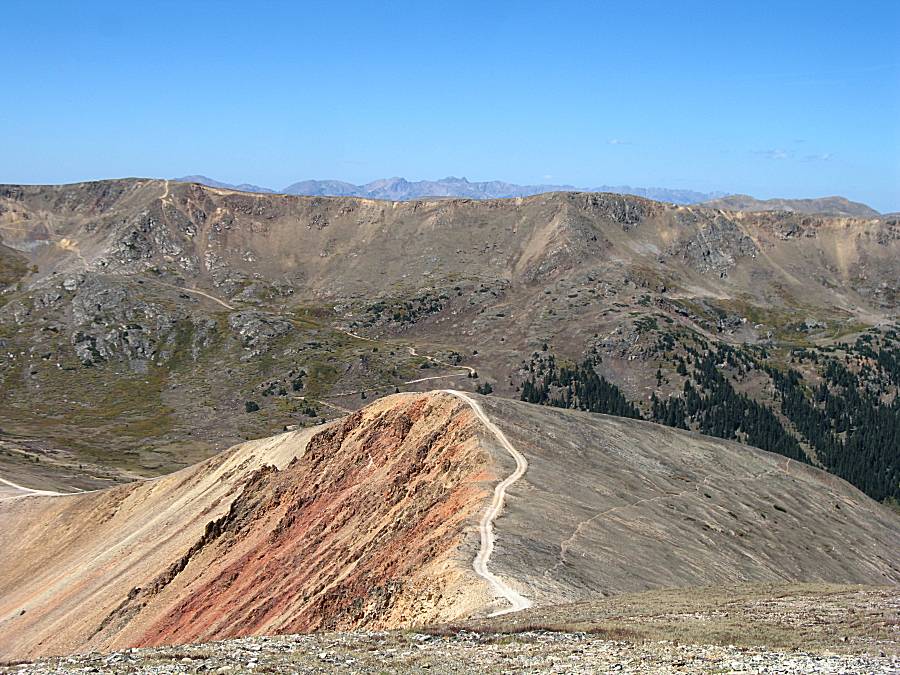
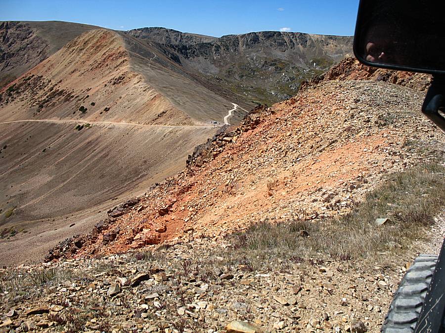
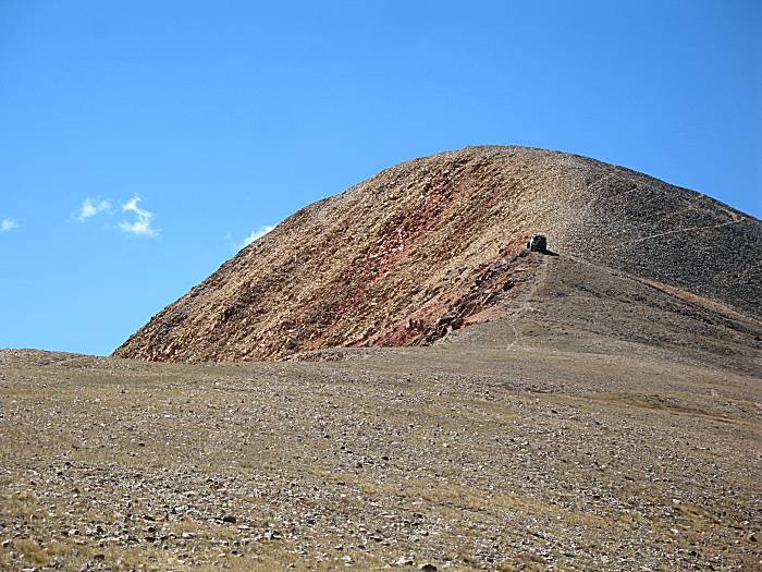
| Starting to see where the Red Cone name comes from. |
| Panorama Click for a larger view |
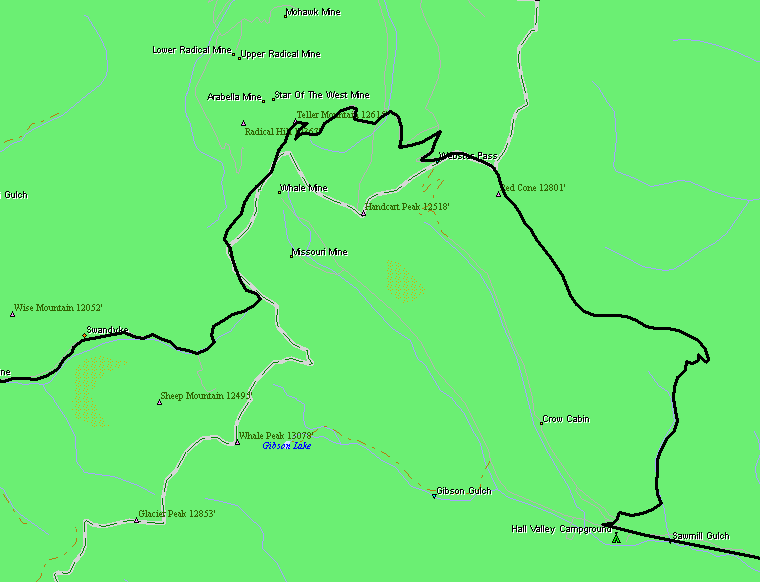
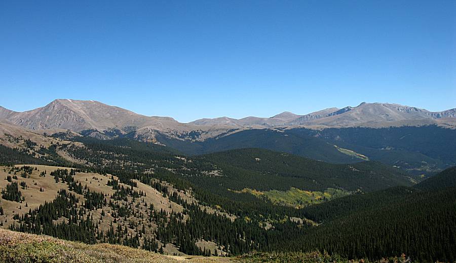
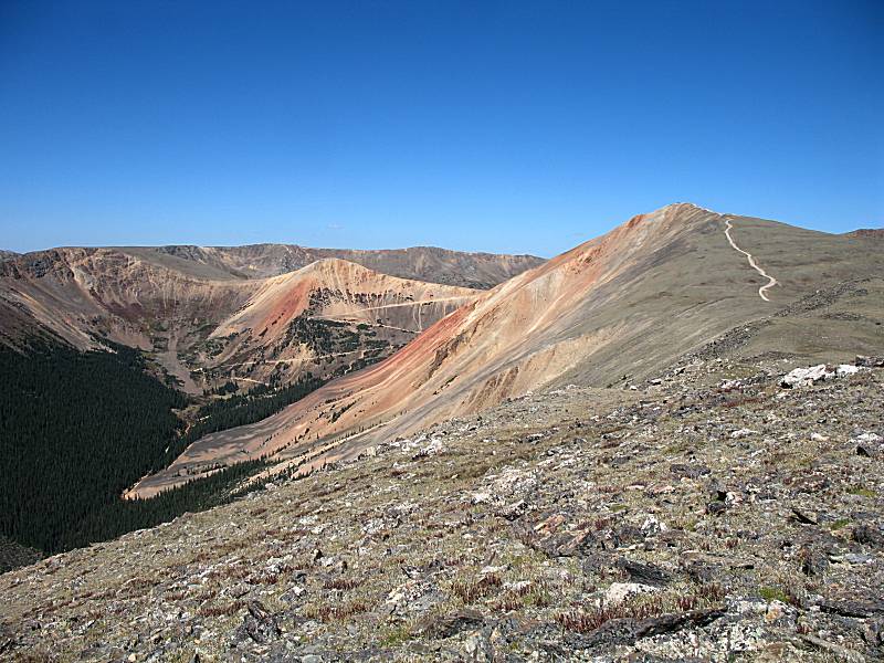
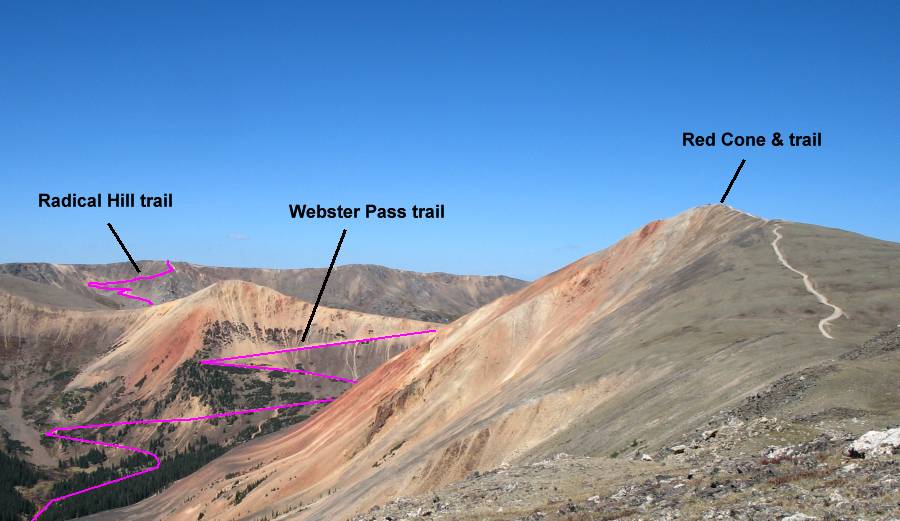
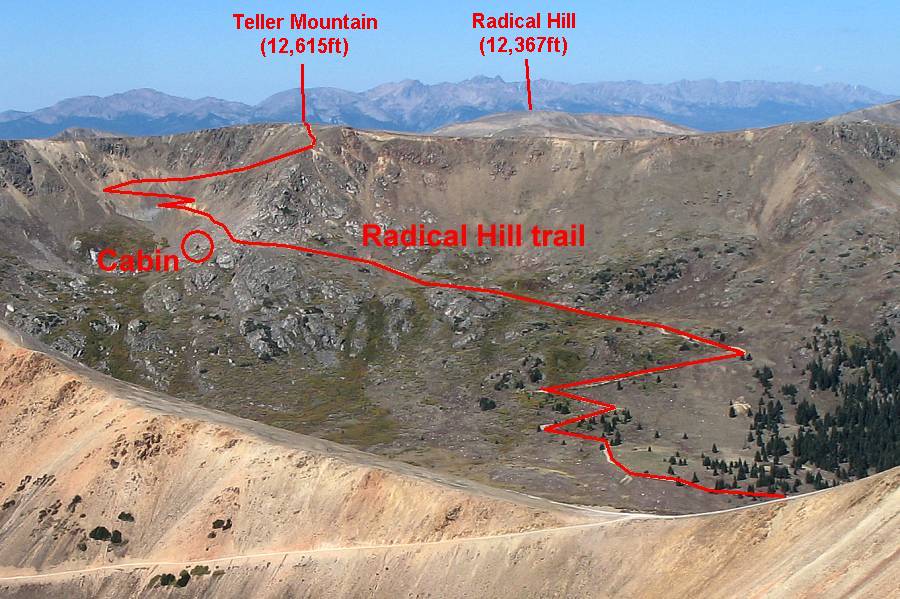
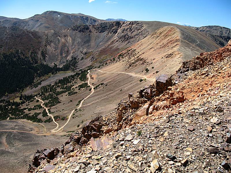
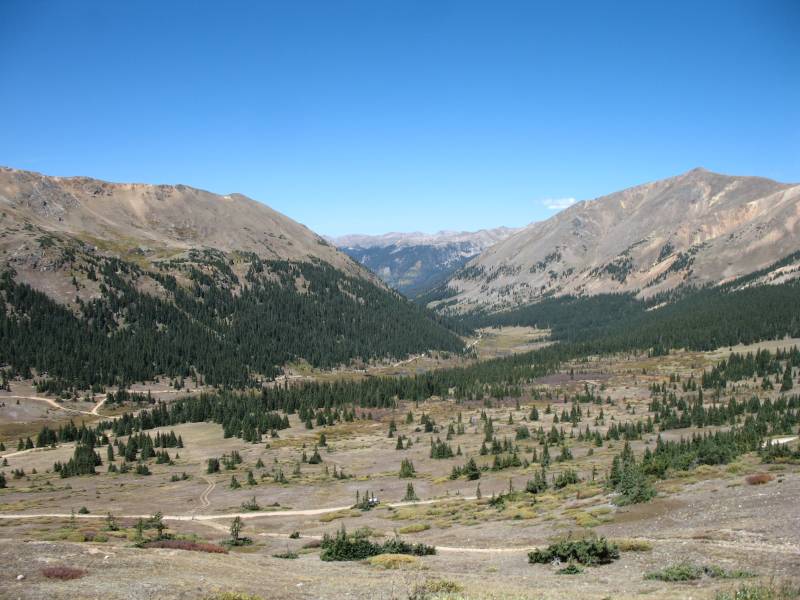
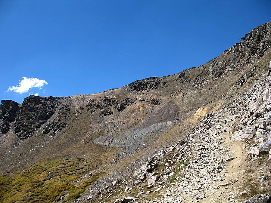
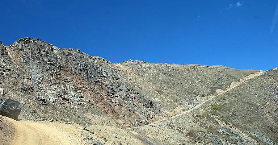
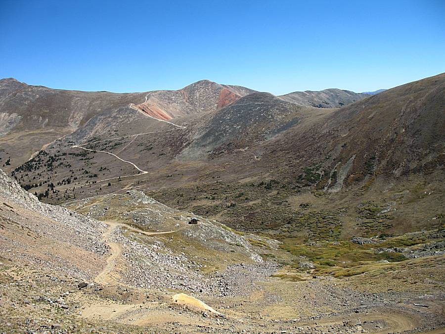
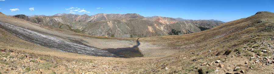
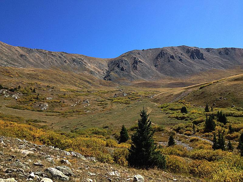
| In addition to the Red Cone trail, there is the Webster Pass trail and the Radical Hill trail. This is a first view (of many) of the other two. The next image is annotated with trails and names. |
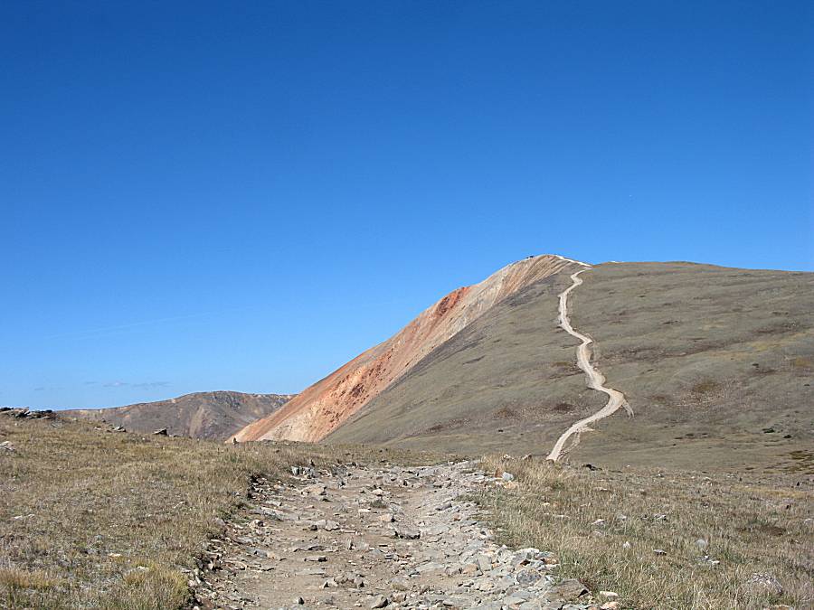
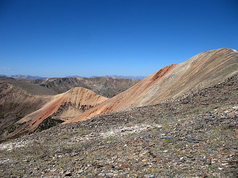
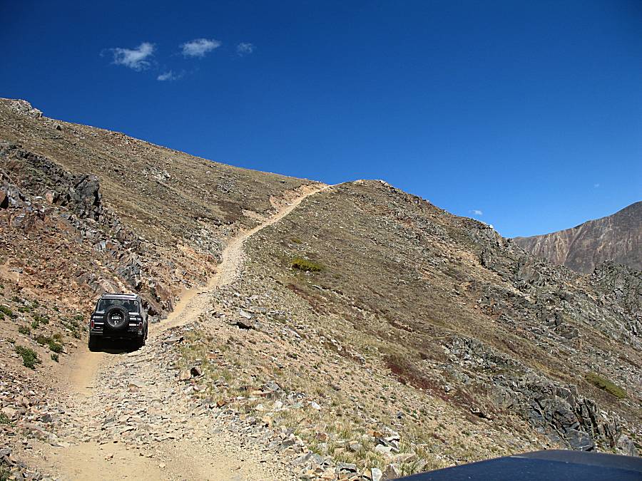
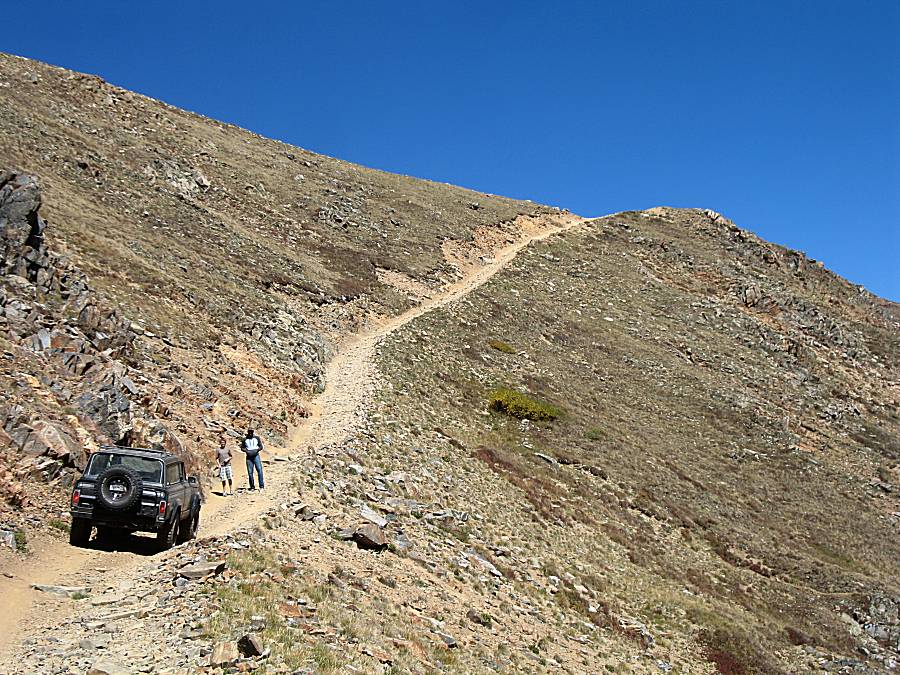
| Red Cone is listed as a narrow trail such that you
don't want to go off the trail. While I agree, it is not "certain
death" if you went a few (to several) feet off of the trail. Aside from that, proper use is to stay on the established trail and to not "make trail" or change the un-tracked land. |
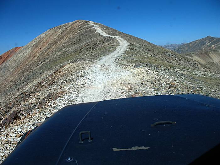
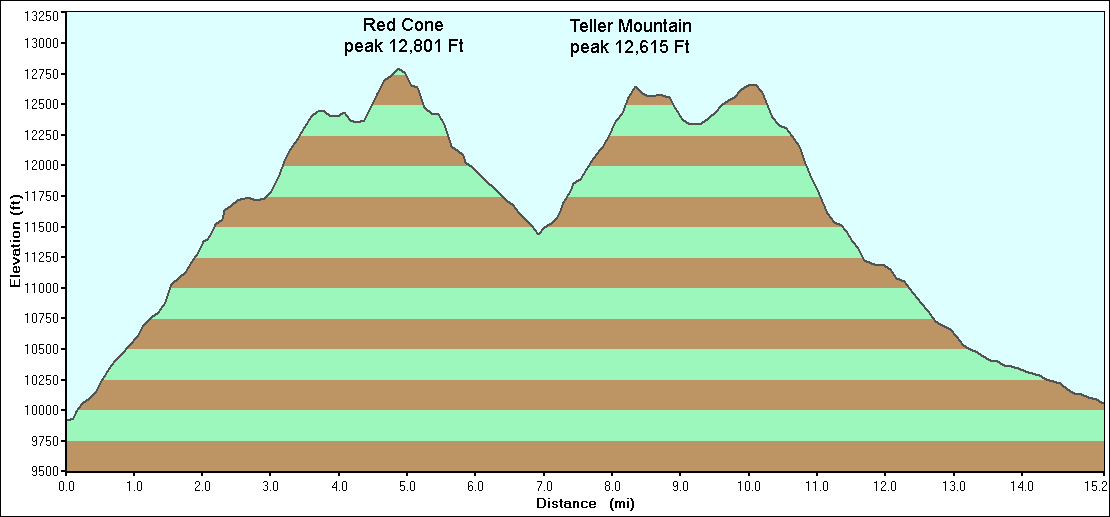
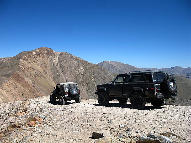
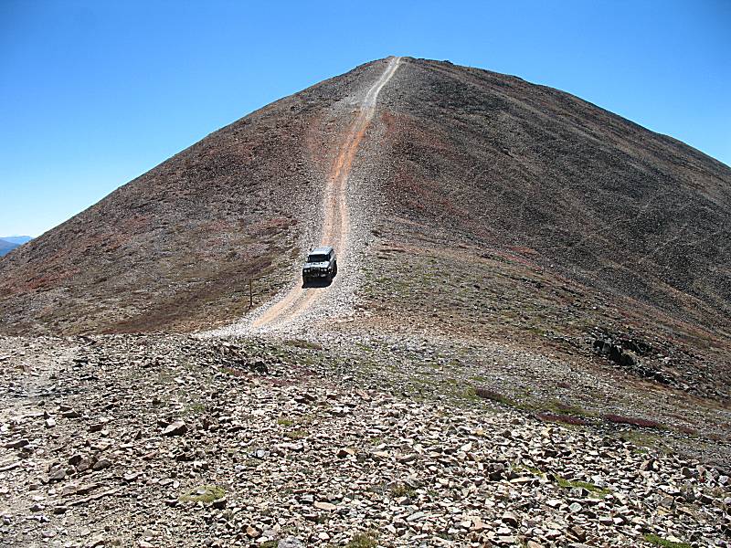
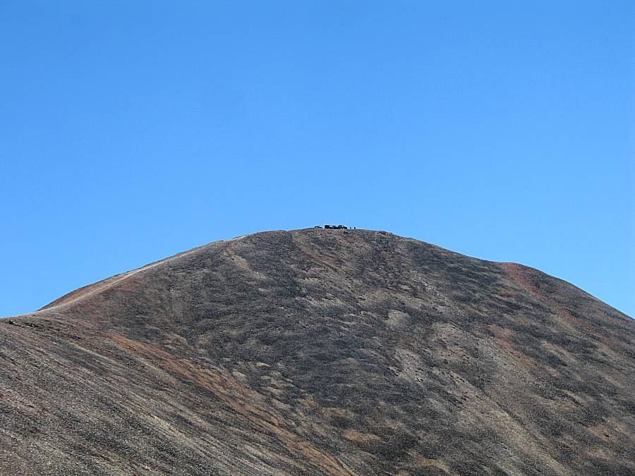
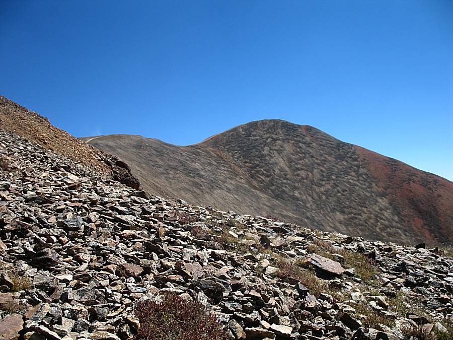
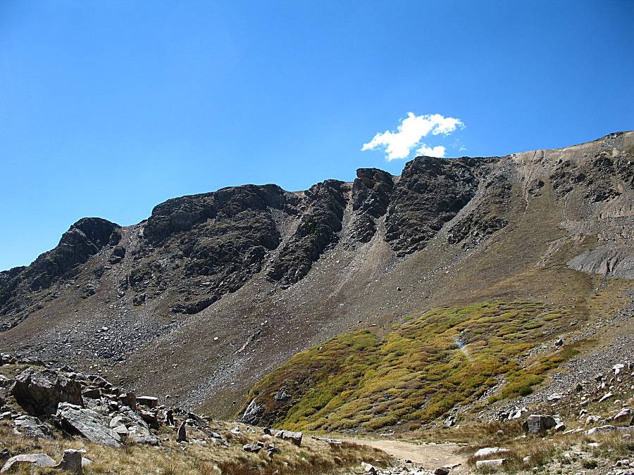
| The top of Red Cone Mountain. 12,801 Feet up on a blue sky day with far stretching views all around. |

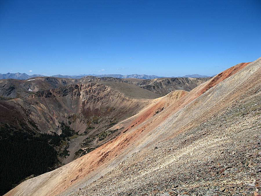
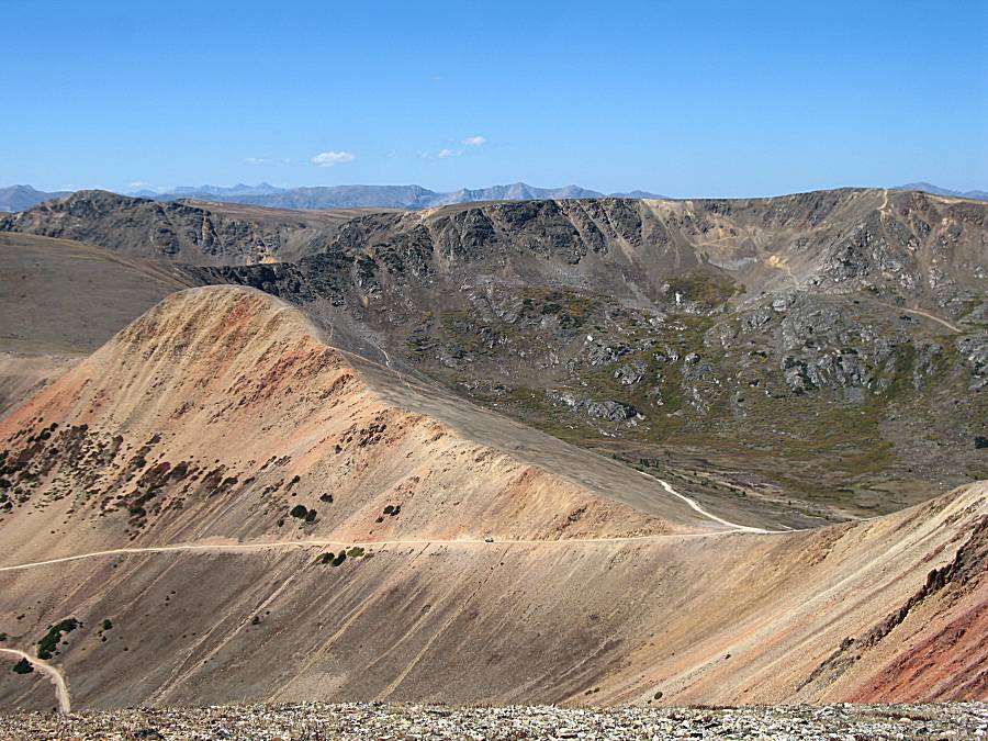
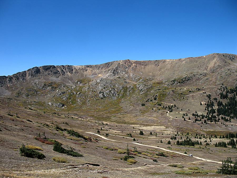
| A view over Webster Pass (bottom of pic) into the valley beyond with the Radical Hill trail. |

| Panorama Click for a larger size (and for a larger size, annotated showing the town of Montezuma CO) |
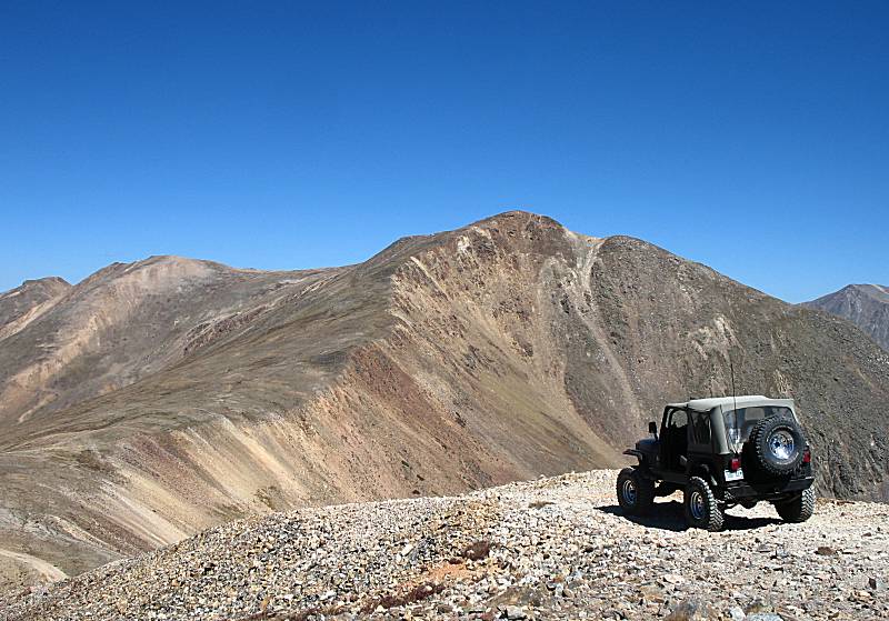
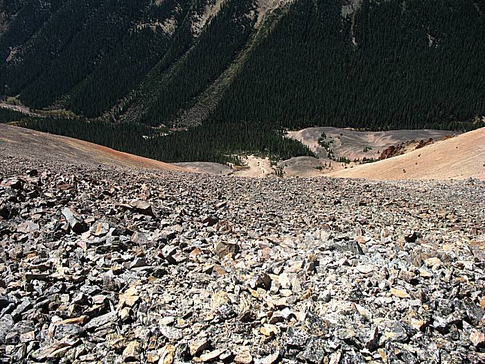
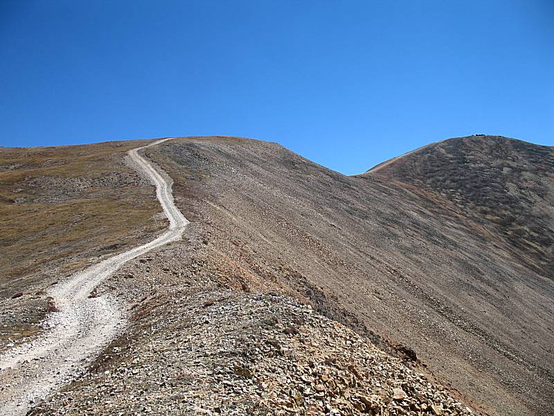
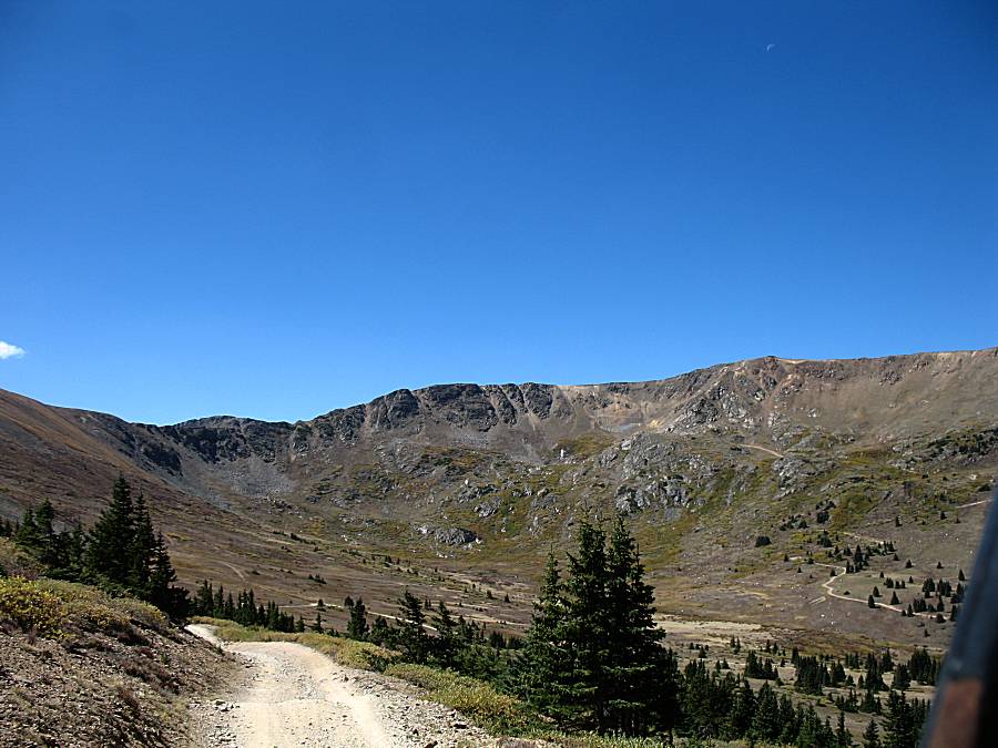
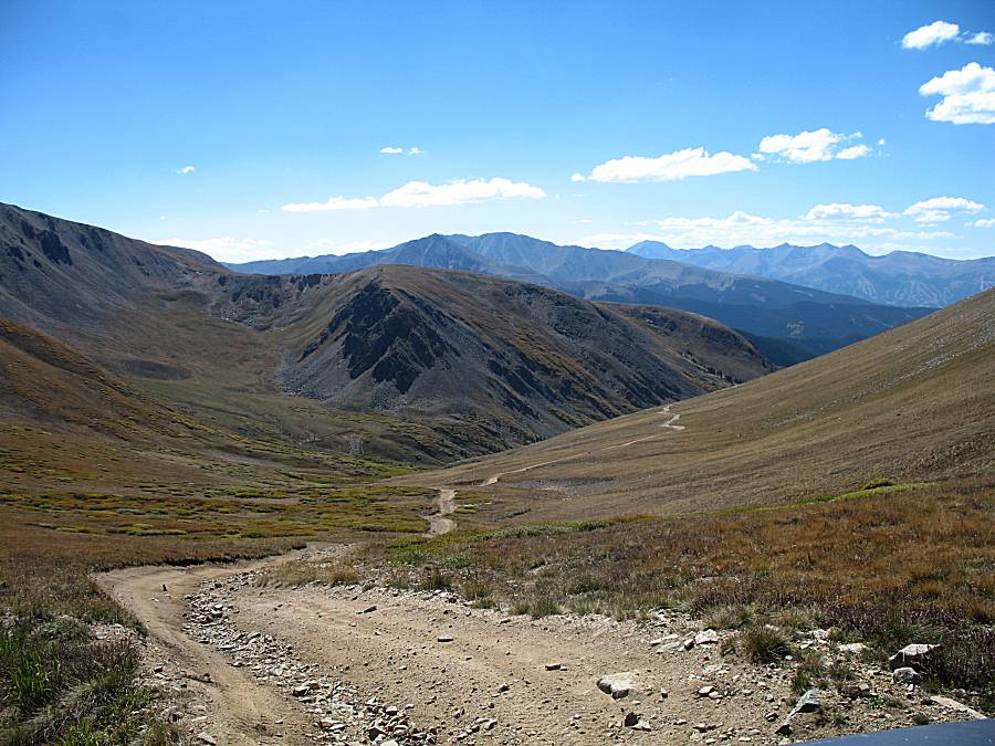
| Looking east at the trail we came up. |
| Ray coming down the first of three pitches |
| A vehicle coming up the Webster Pass trail. |
| Another group sitting atop Red Cone. |
| Panorama Click for a larger size |

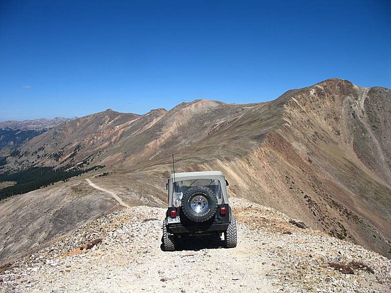
| Heading down the last pitch. The Red Cone trail ends at the Webster Pass trail / Webster Pass. |
| Ray and the group behind us coming down the last pitch for a break at Webster Pass. |
| One person of the group behind us exploring off trail, unfortunately. |
| Looking north, down valley towards the town of Montezuma. |
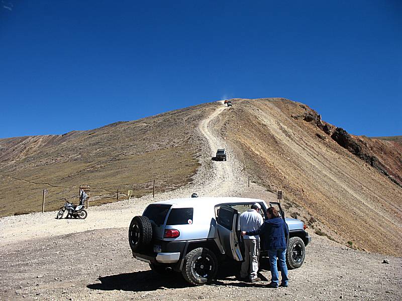
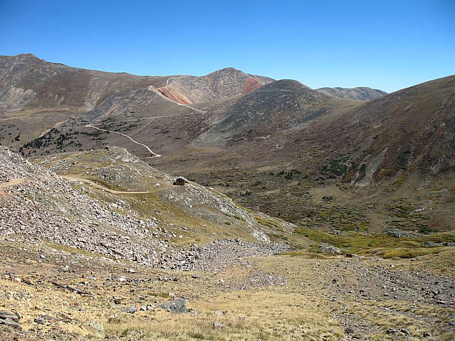
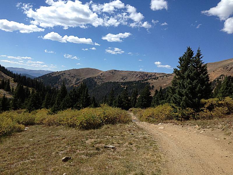
| The next trail set to explore... Radical Hill. |

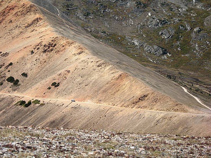
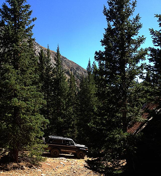
| Radical Hill is a shelf road trail. It required a bit more care. |
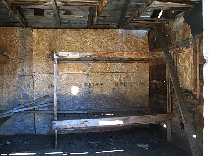
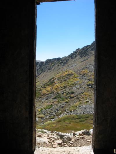
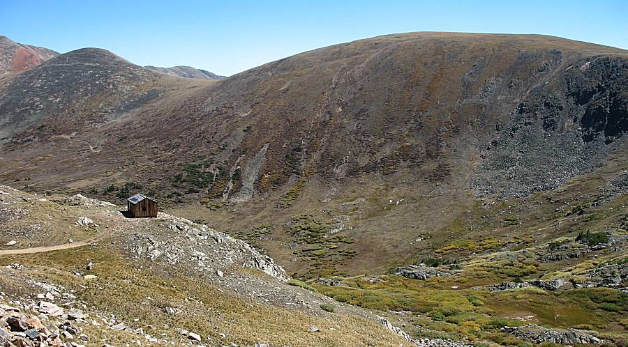
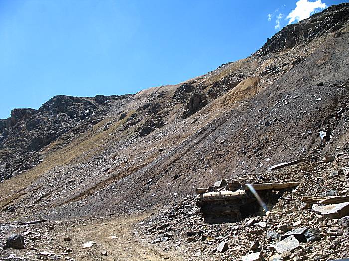
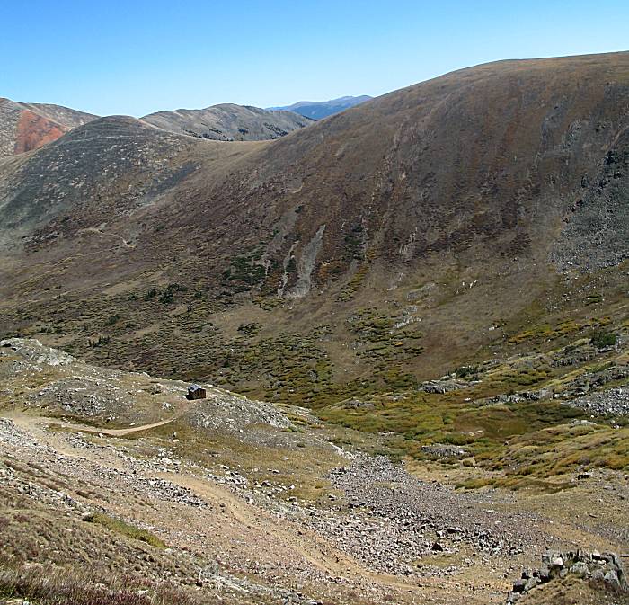
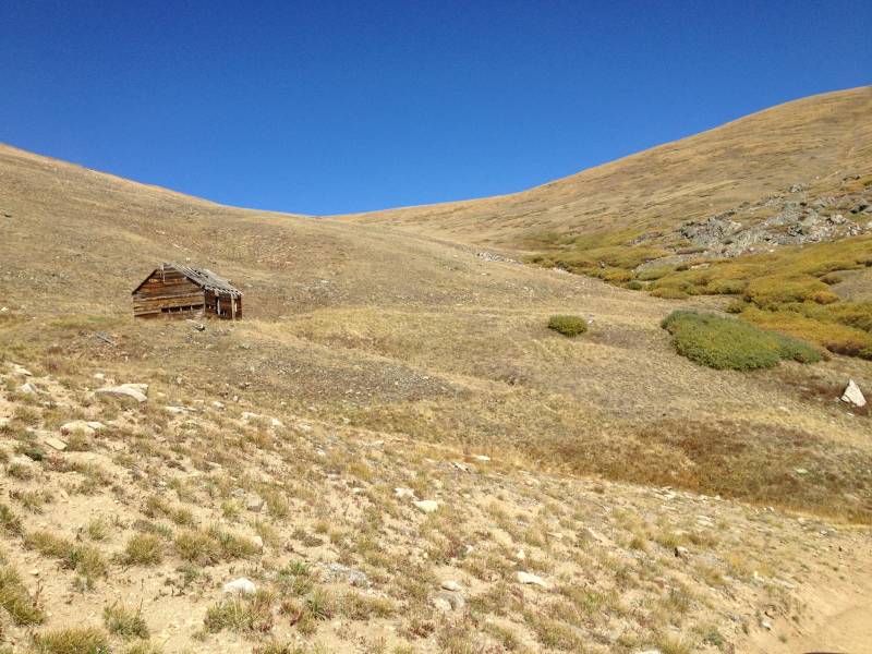
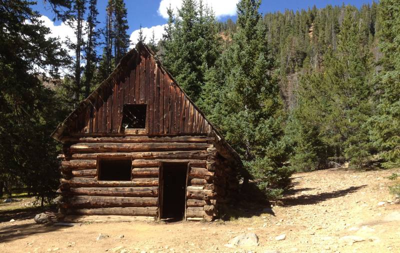
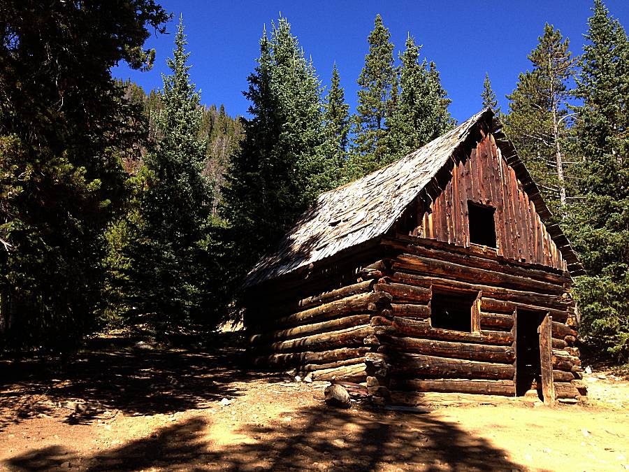
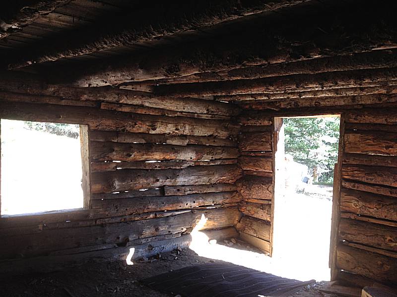
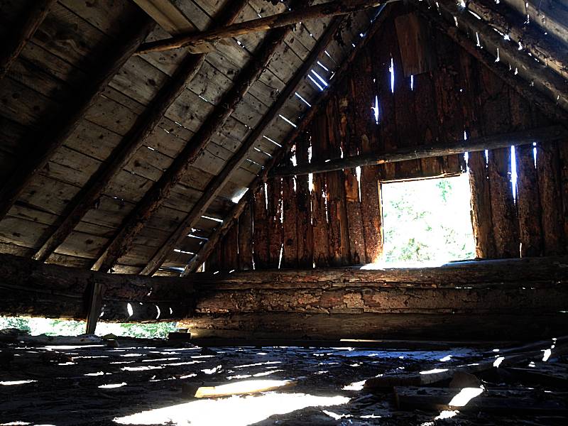
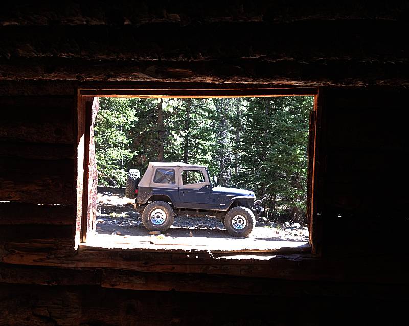
| Cabin for the Cashier Mine we'll drive through. |
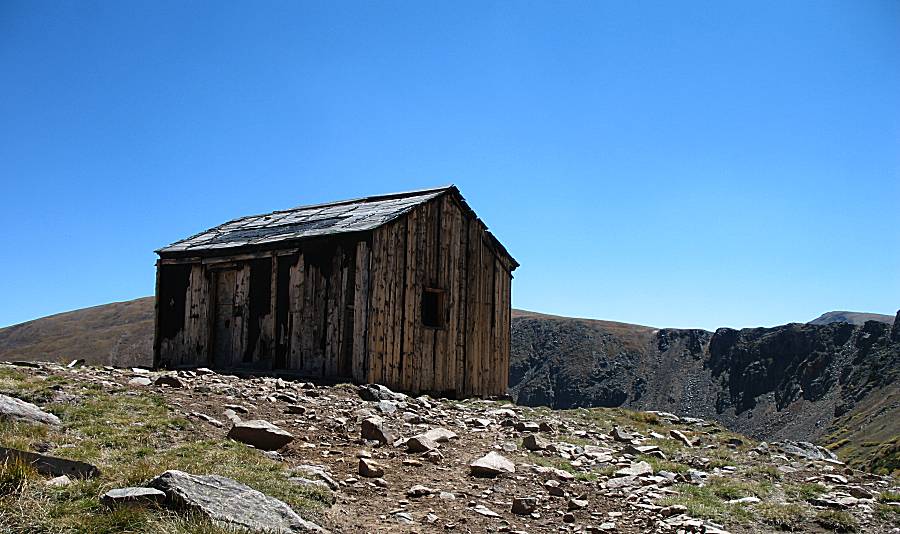
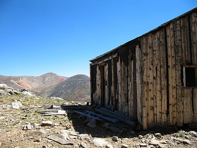
| It looks like someone did some upgrading to the cabin. Sheetboard wasn't customary when it was originally built. |
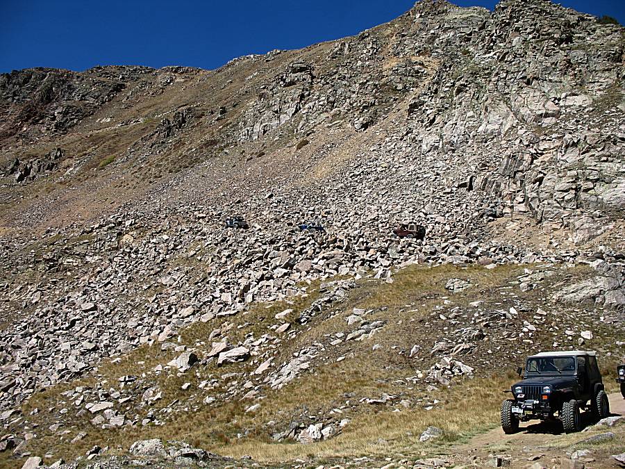
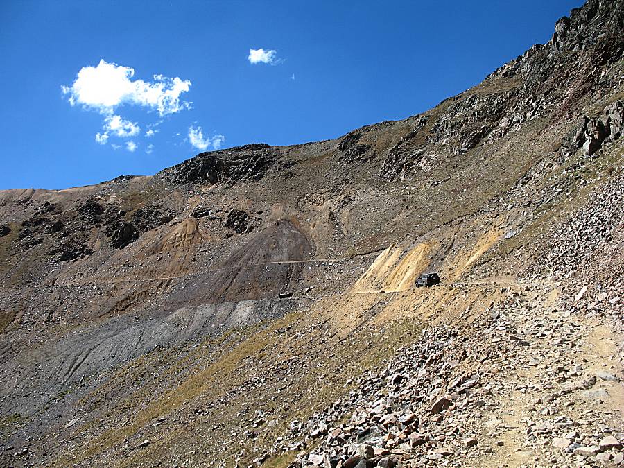
| A set of three Jeeps heading up while we're at the cabin. |
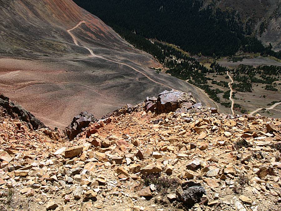
| We can see about where the mine shaft was from the fan of colored rock flowing down the mountainside. |
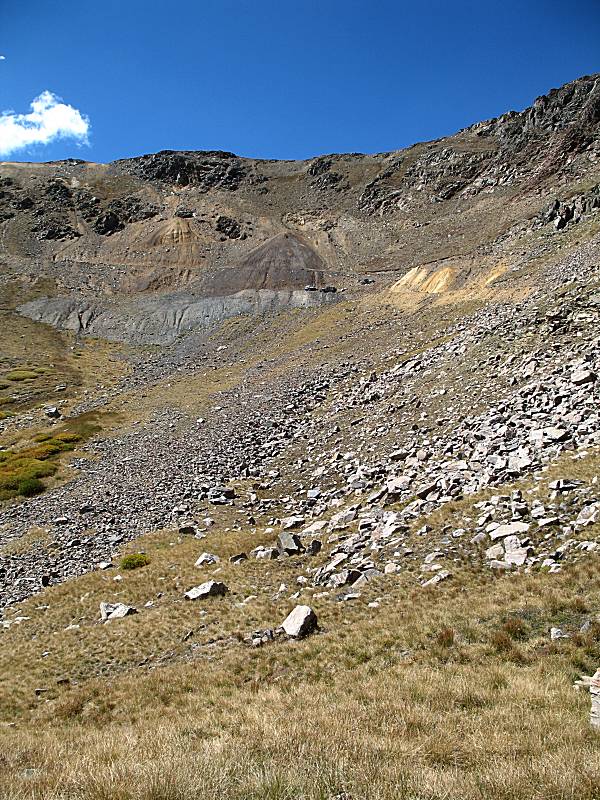

| Looking back at where we came from - Red Cone & Webster Pass. |
| Workng through the mine area - remnants of the operations. |
| The steel line in the photo is a rail from the mine's railroad. |
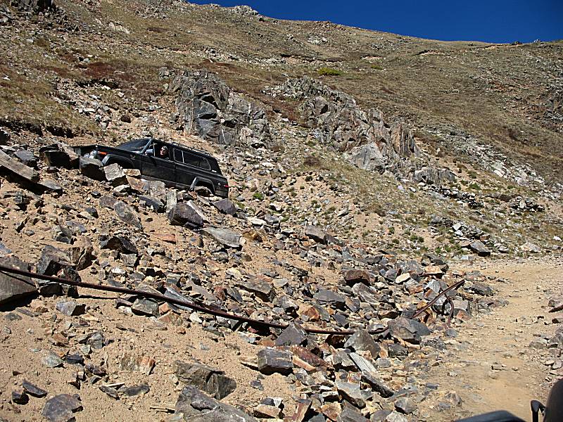
| Ray working the way up. |
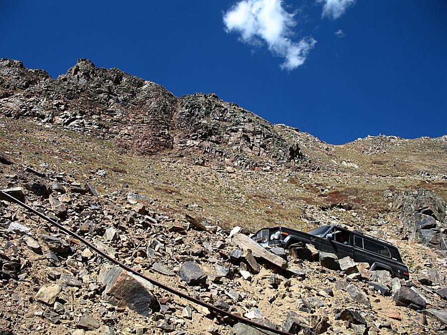
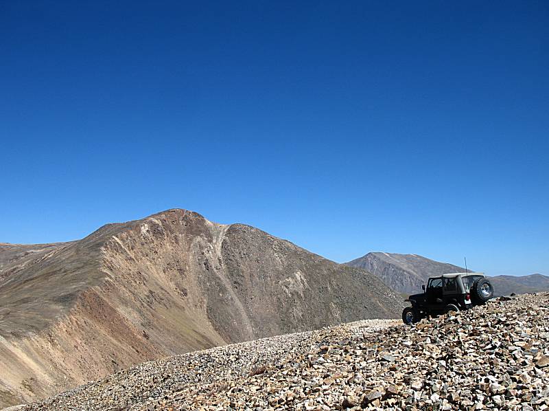
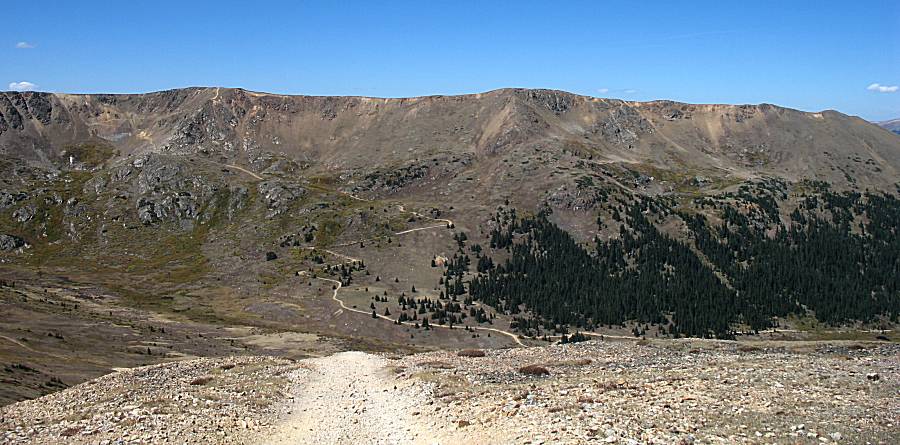
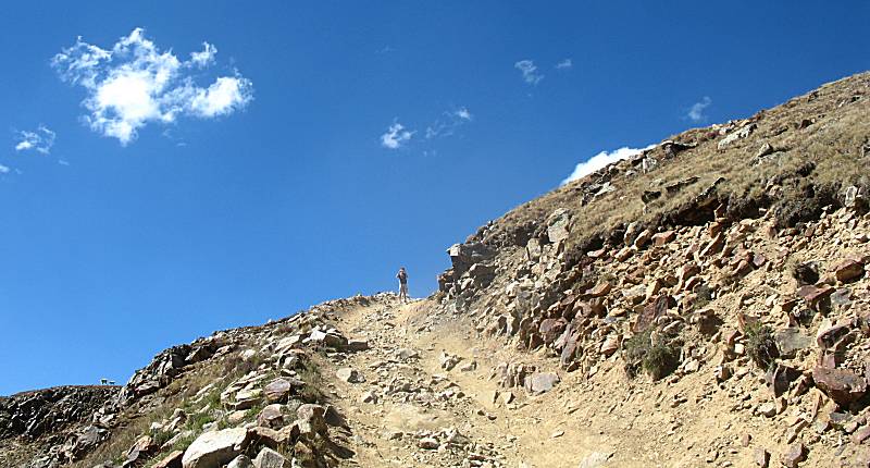
| From the mine site, there are two final pitches to the top of Teller Mountain. Each is somewhat steep. |
| Near the start of the first of two steep pitches there was a narrow section. Ray asked the other riders to get out and walk past that section, an easy and reasonable action for the condition. |
| One item to note in this photo - the horizon / ridgeline. Compare this photo to the one two down and see how the ridgeline changes. |
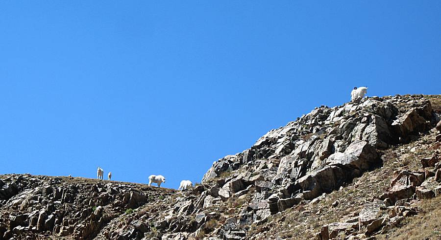
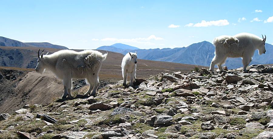
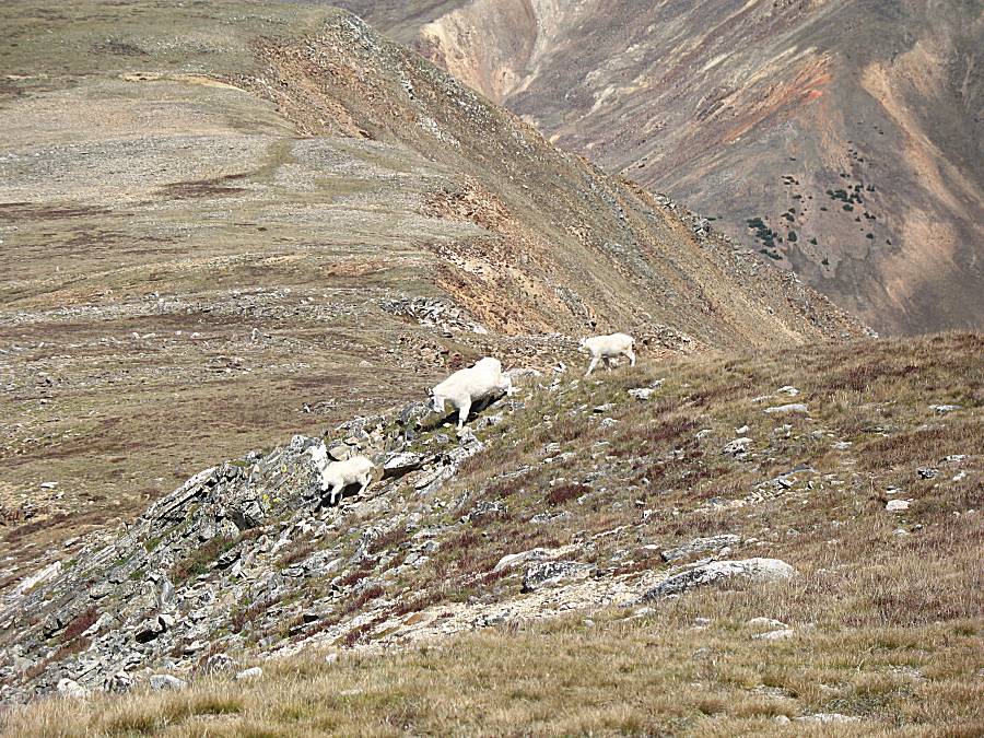
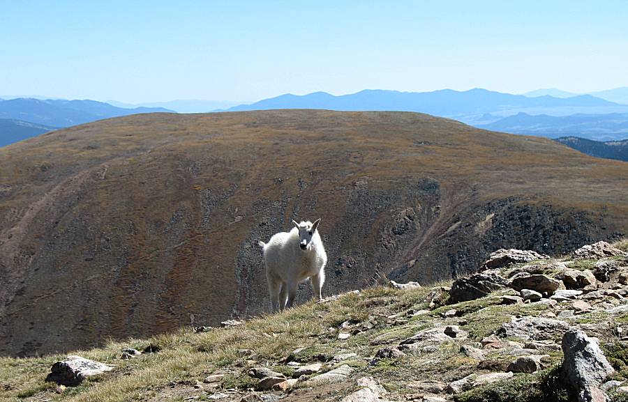
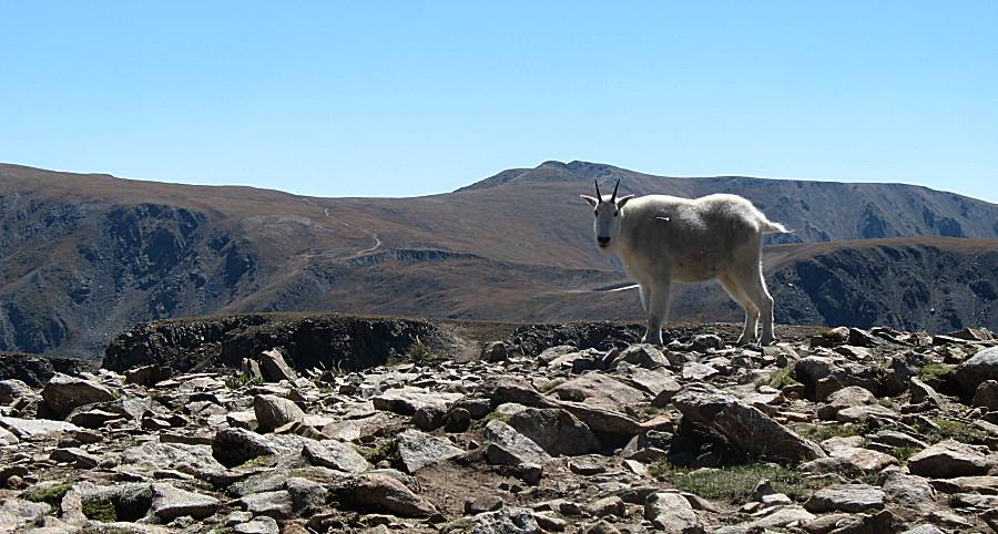
| What I'll call mountain goats atop the mountain. |
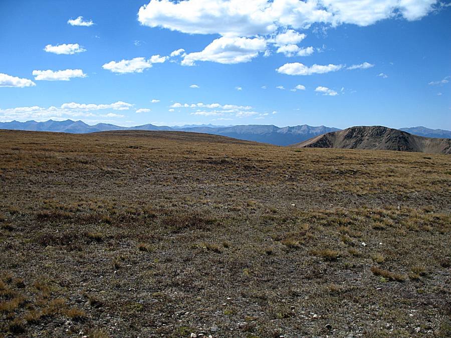
| Mountains afar poking up. |

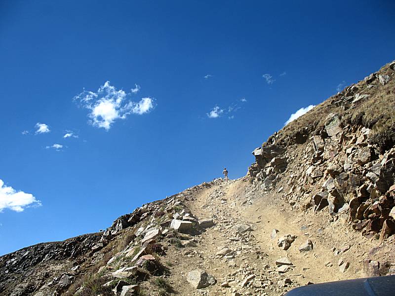
| Working up the last pitch. |
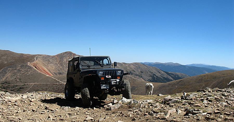
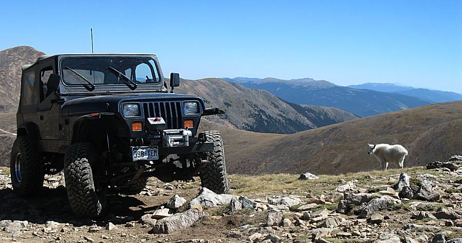
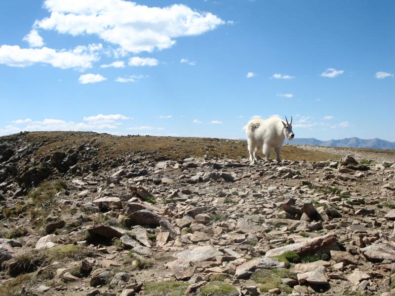
| Up top with the locals. |

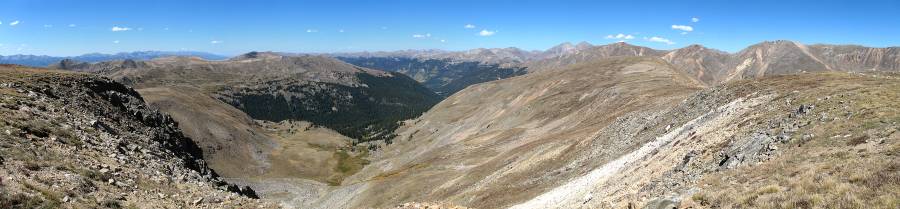
| Panorama Click for a larger size |
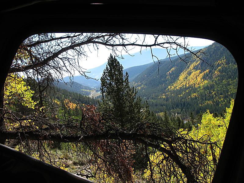
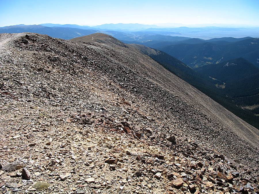
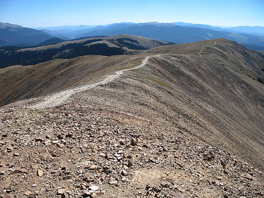
| Atop the wide mountain area on the way down the western side to the Breckenridge area. |
| Panorama Click for a larger size |
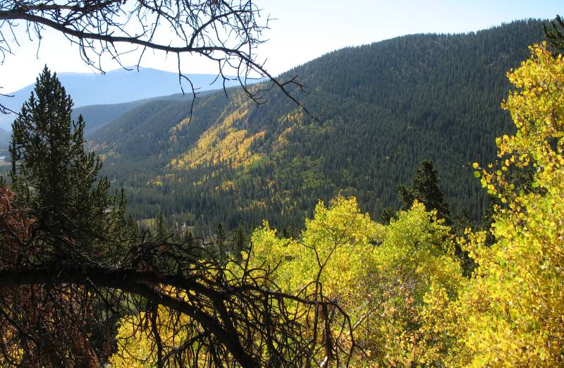
| Looking west to the Breckenridge ski area. Curiously, I found out that there is a trail that starts at the base of a ski run and goes up to the ridge. Some day... |
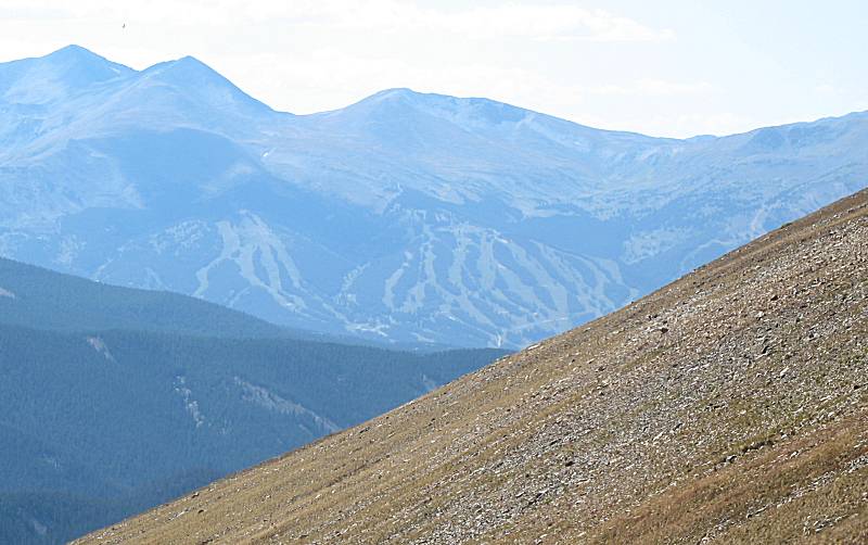
| Noting the ski hill photo above, you can see the ski runs in the distance at the right of this photo. |

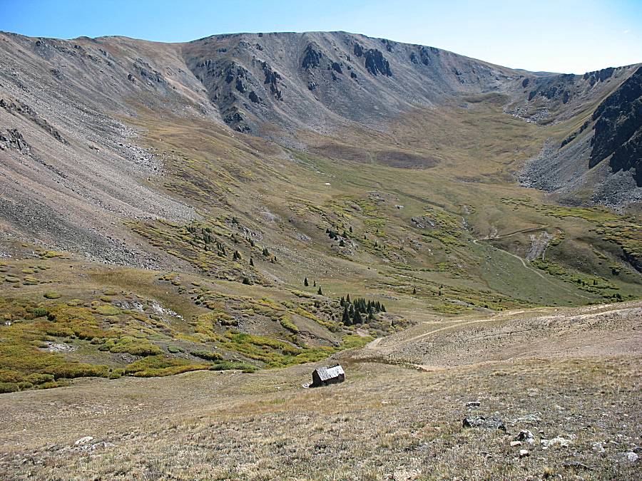
| I don't think there was a mine in this valley. No idea why this cabin would be here. |


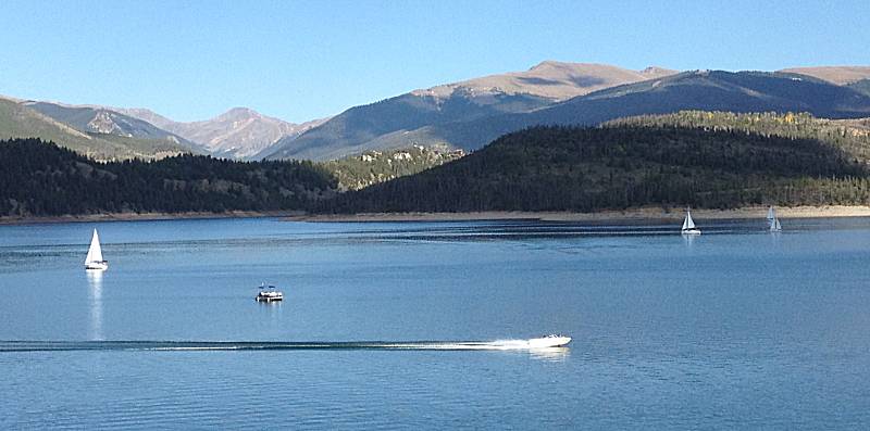
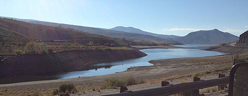
| We're out of the trails and are done for the day.
Ray and family/friend and I enjoyed some good BBQ dinner at Frisco and
they headed back to Denver via I-70. With enough daylight I'm
choosing some 2-lane scenery back to Fort Collins. This is the reservoir at Dillon / Silverthorn. |
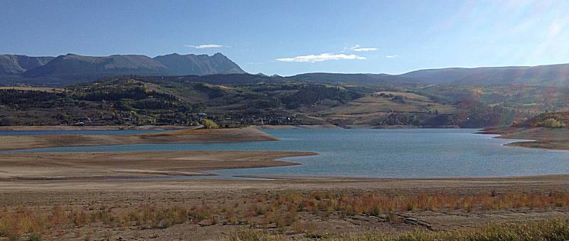
| Heading north from Silverthorn, looking east. |
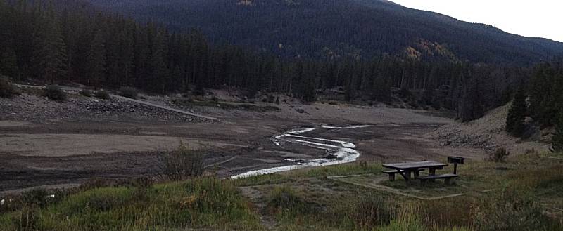
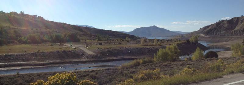
| The southern tip of the Green Mountain Reservoir. Center left in the photo is a boat dock hanging in the air above the little amount of water left after a dry summer. |
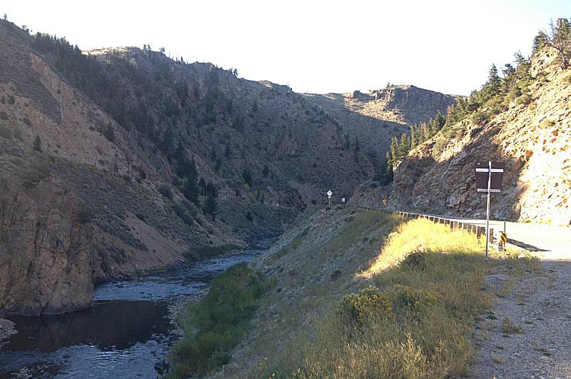
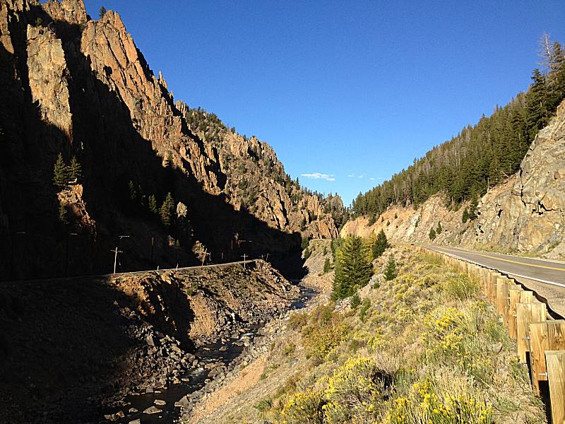
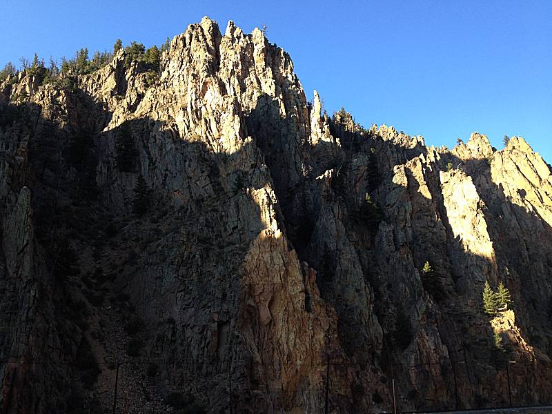
| One of the reasons to take the two lane back... Byers Canyon. US-40, Colorado River, Railroad. |
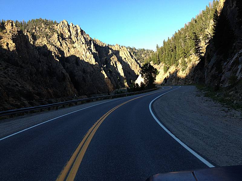
| Out from Byers Canyon and heading north on CO-125 (a favorite road with a motorcycle - an OK road in the Jeep). |


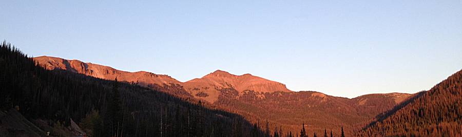
| Up at North Park, taking the "shortcut" from Rand to CO-14 Panorama Click for a larger size |
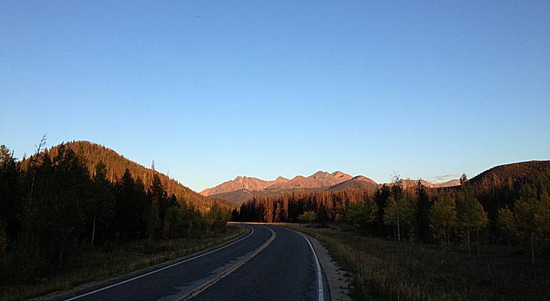
| On CO-14 heading up to Cameron Pass. |
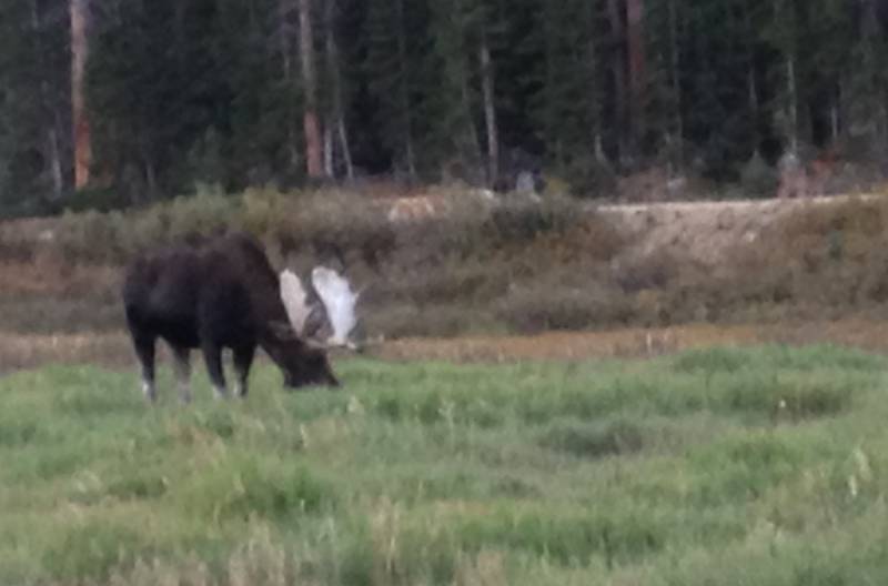
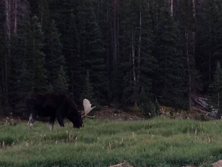
| A moose at Cameron Pass! |
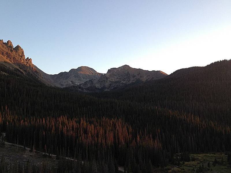
| Chambers Lake (reservoir) & campground. Drained dry. |