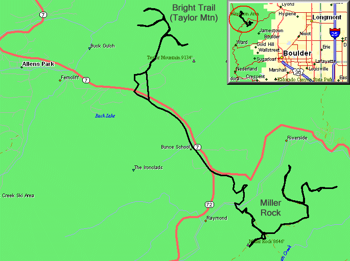
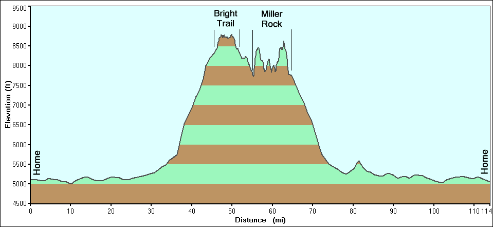
Bright Trail (Taylor Mountain) & Miller Rock
|
Meet up with a bunch of folks from Front Range 4x4 for an enjoyable
Memorial Day in the forest. Our first stop was Bright Trail. Most of
the trail, including the two fingers pointing to the left, was
accessible to the family automobile - graded and clear. The one finger
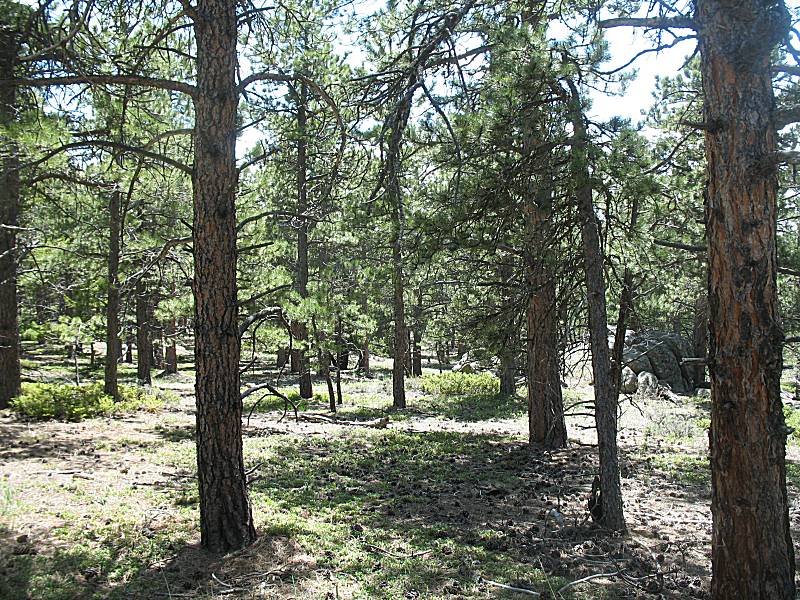
to the right was typical for a trail. For Miller Rock, we tried to explore the northern / northeastern dead ends as I and others have never been to them. I'd go back for more exploring. There was a nice meadow where the group sat to enjoy lunch and conversation. |
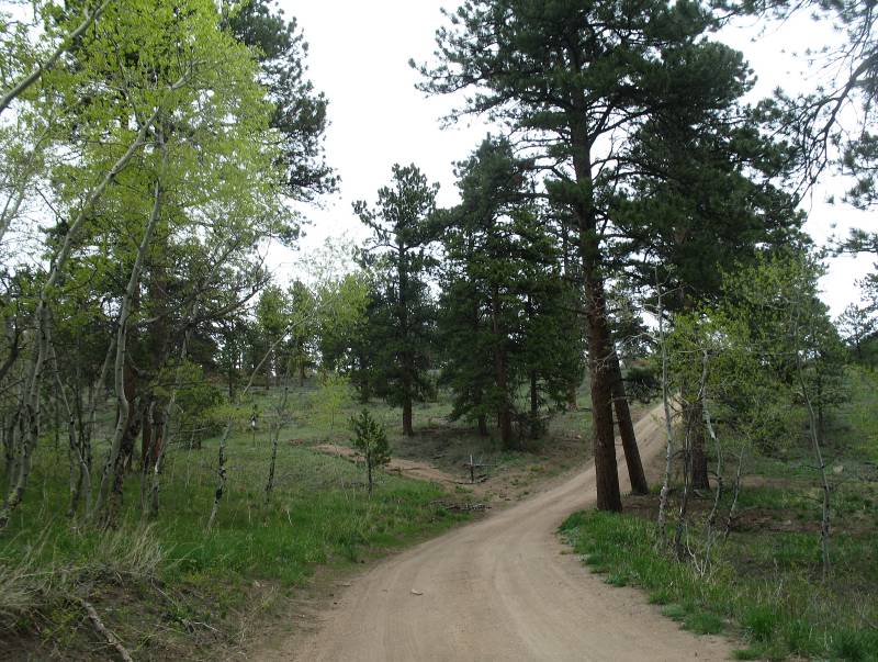
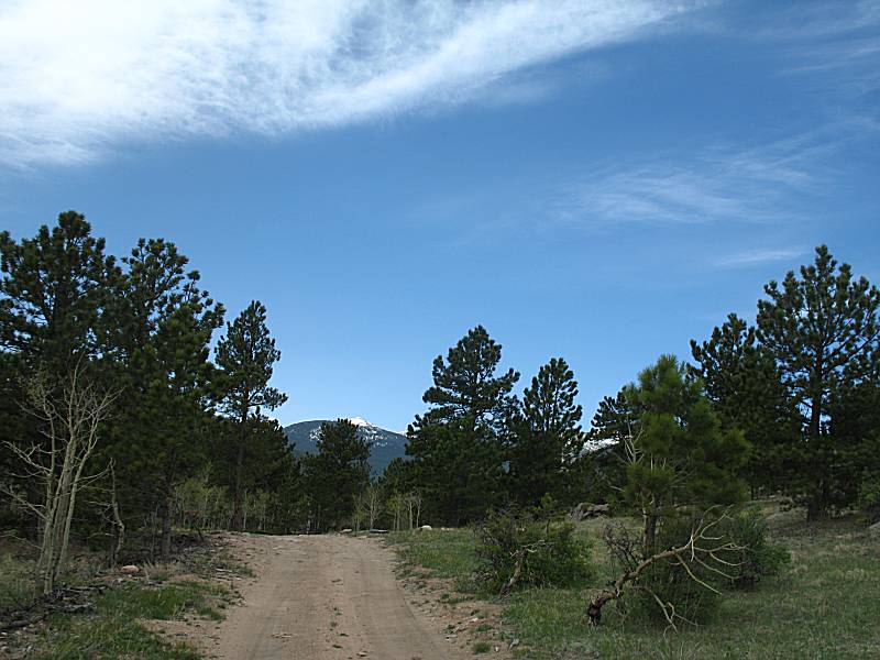
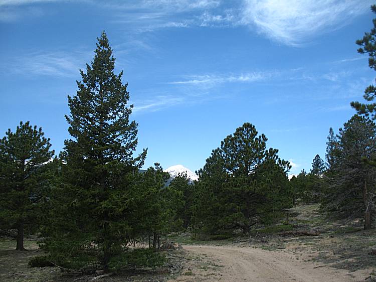
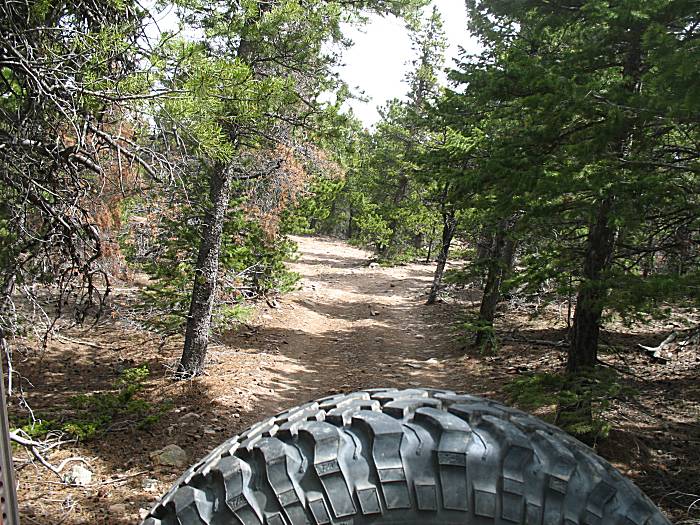
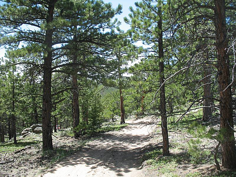
| Start of Bright Trail |
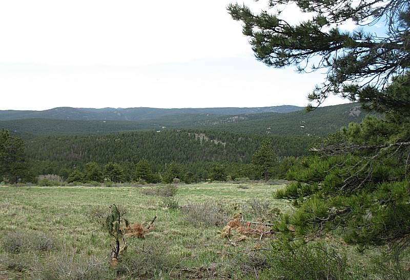
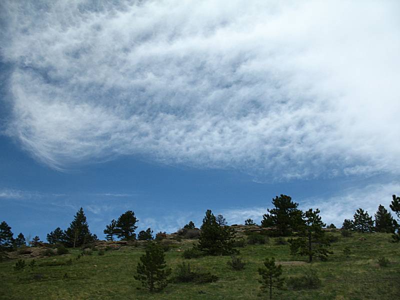
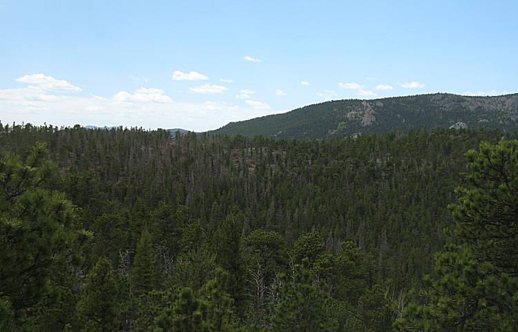
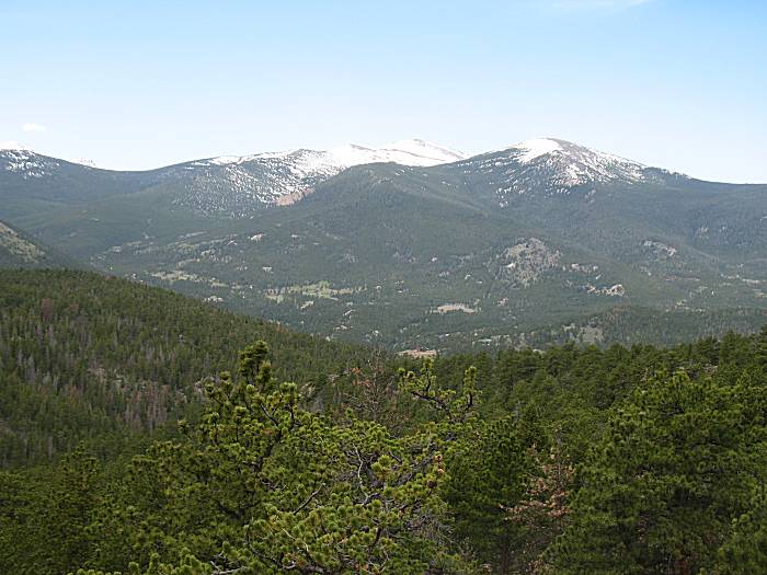
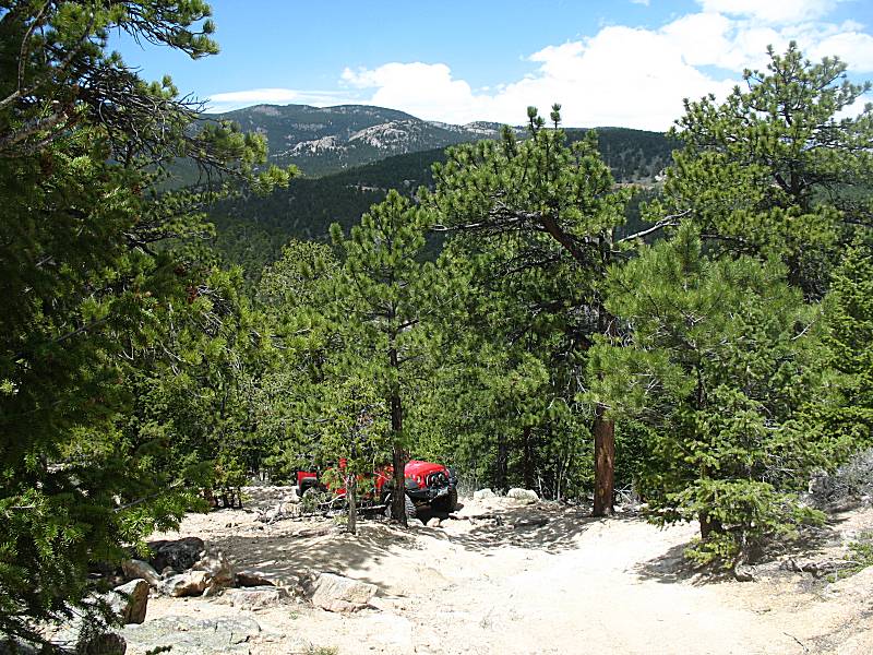
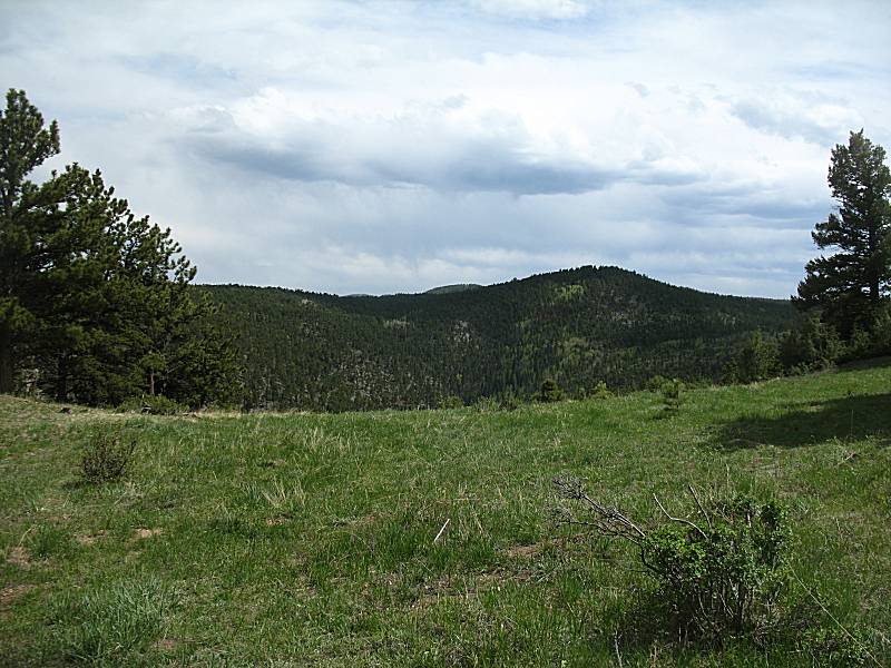
| Looking to the South |

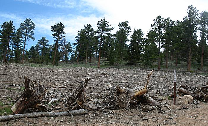
| There had been a fair bit of harvesting done, which is likely why the road was graded. There were two or three of these fields of scrap. |

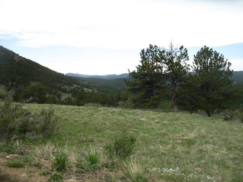
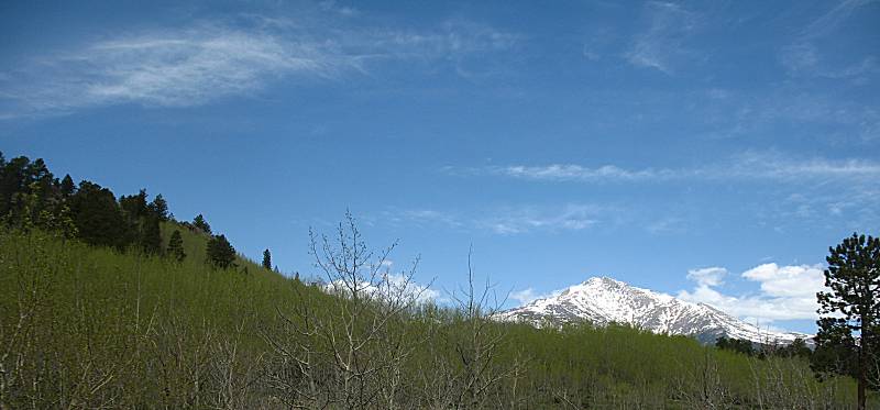
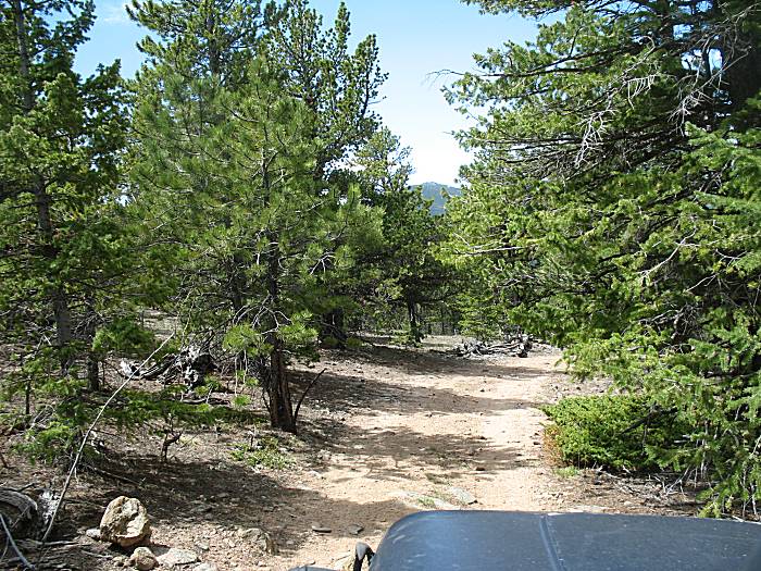
| Heading west/northwest on the first of the two westerly fingers. |
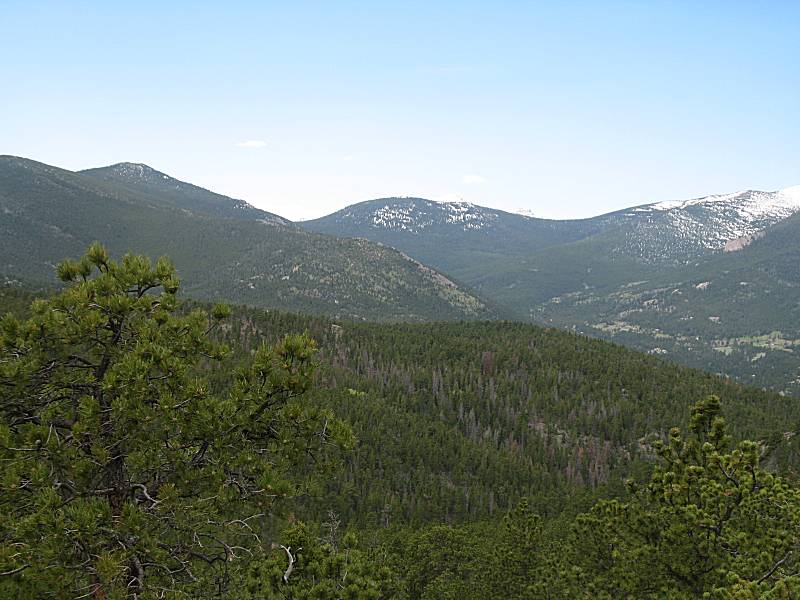
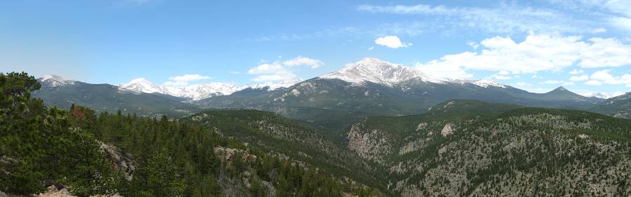
| Panorama Click for a larger version |
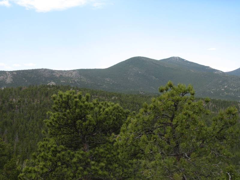
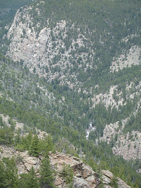
| North St. Vrain Creek visible below. |

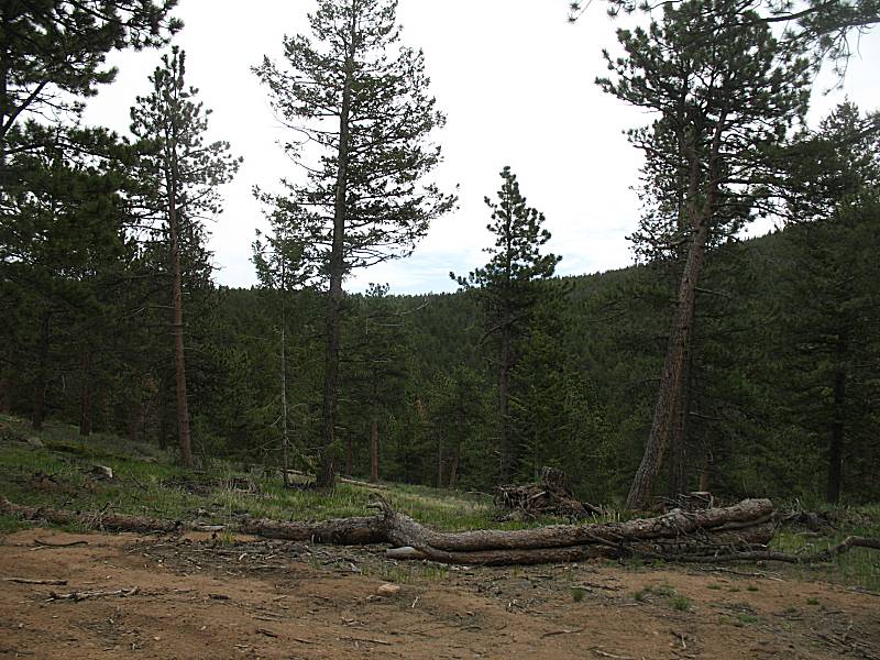
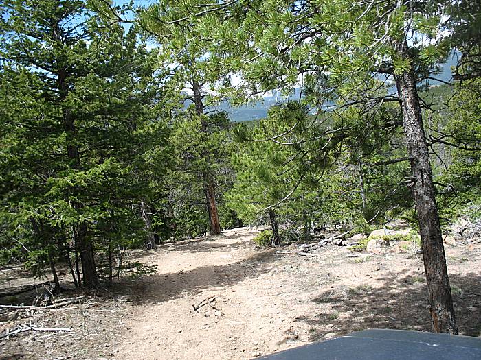
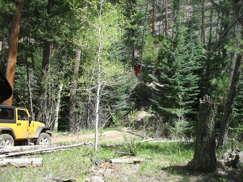
| Exploring the "typical trail" at Bright Trail |

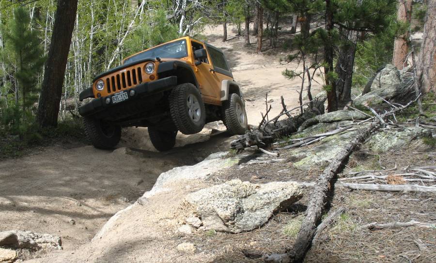
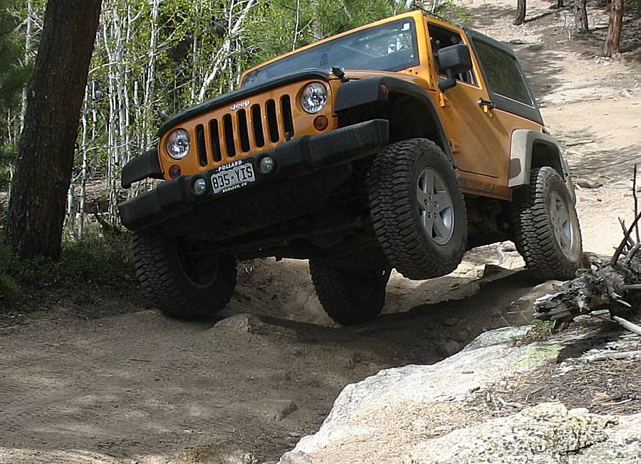
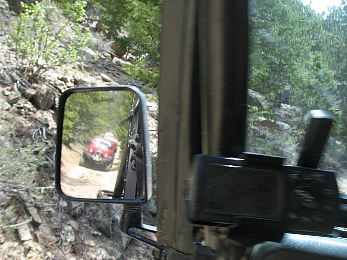
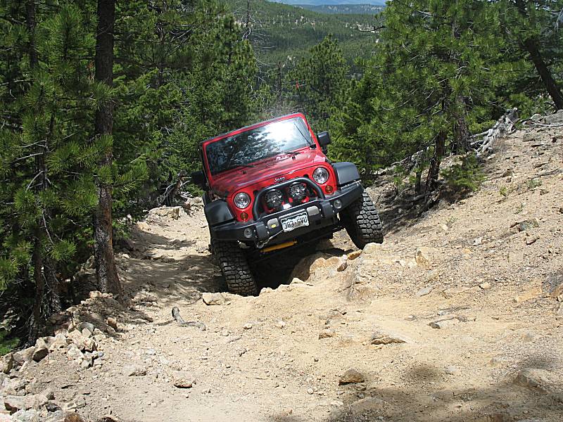
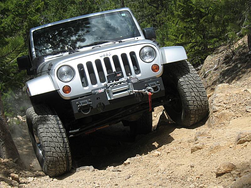
| Over at Miller Rock Coming up to the first obstacle |
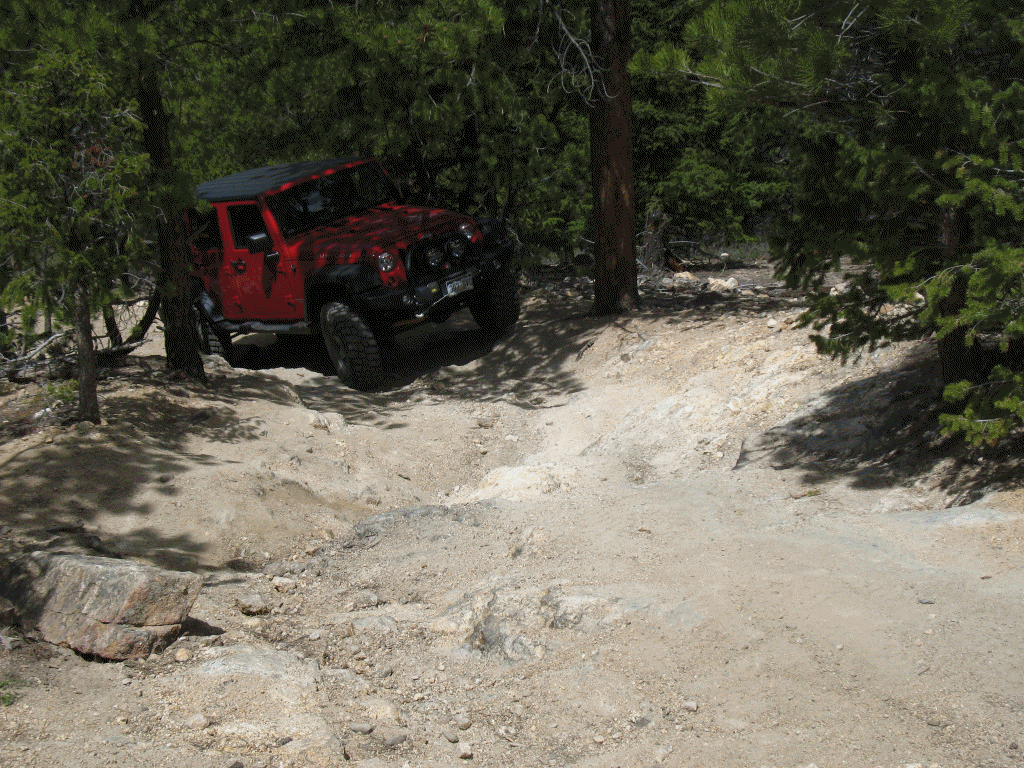
| Max & Elaine |
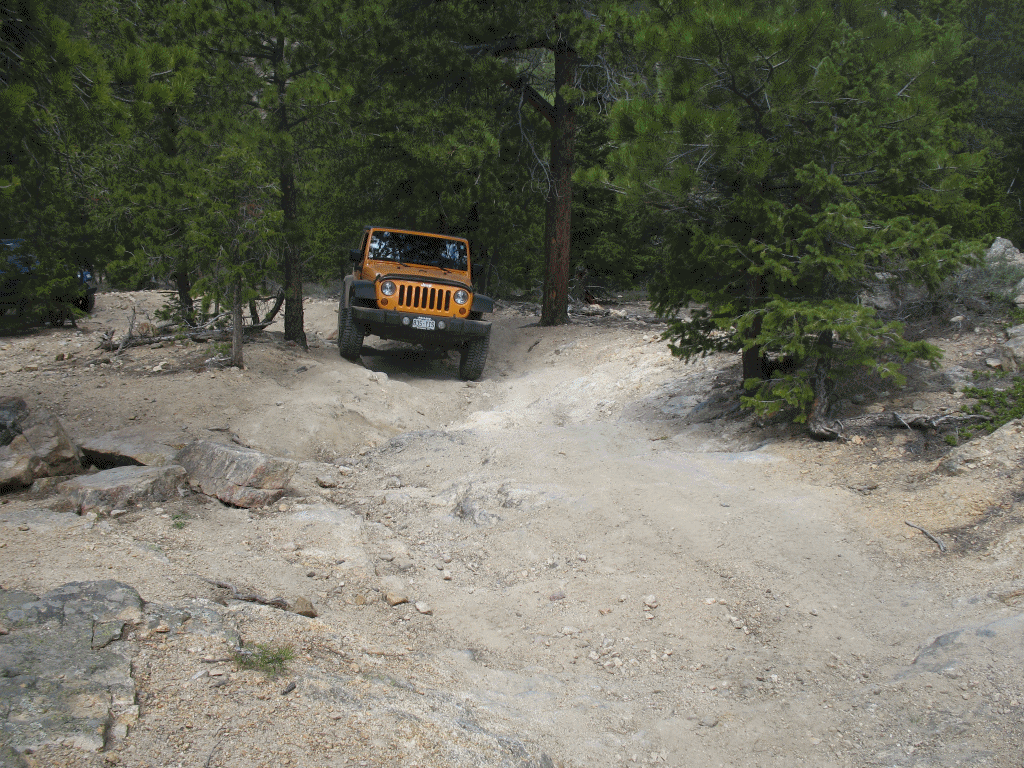
| Tom |
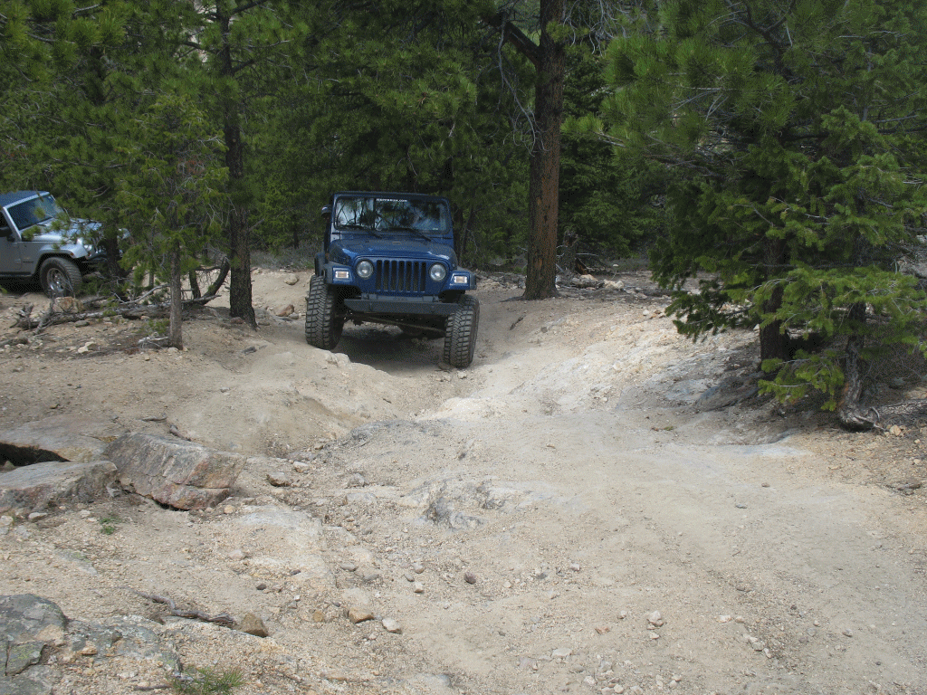
| Dylan and family |
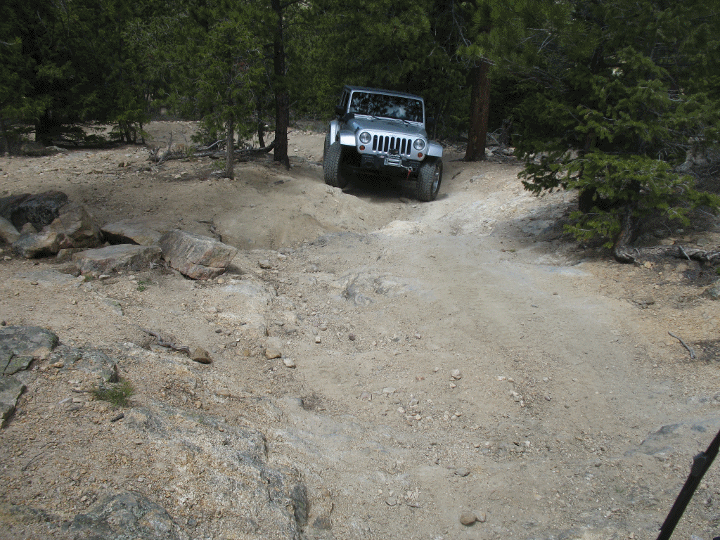
| Mike & family |
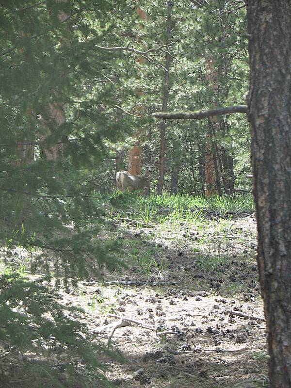
| There were a couple deer out. One is in the center of the picutre, staring us down. |
| The northeastly dead ender at Miller Rock |
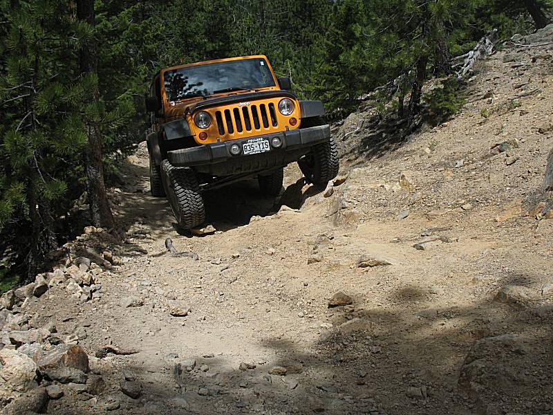
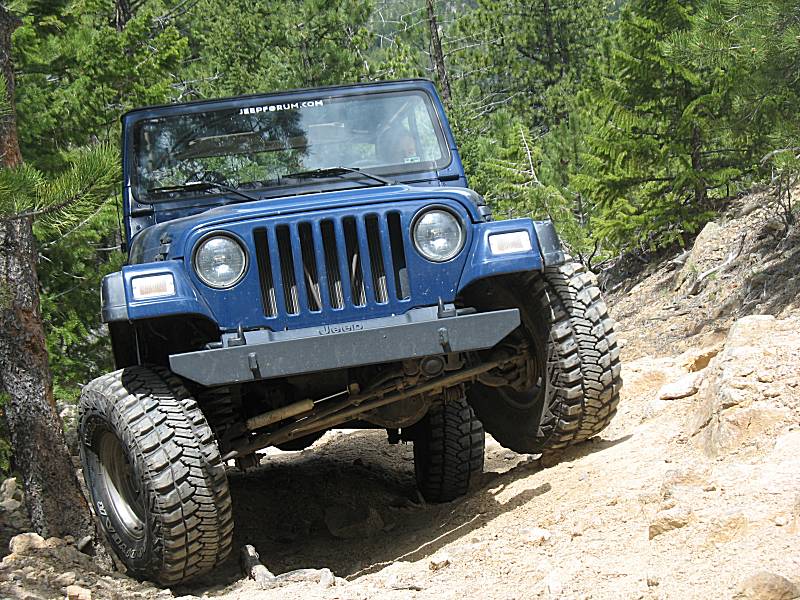
| Tom going up the harder path to Miller Rock |