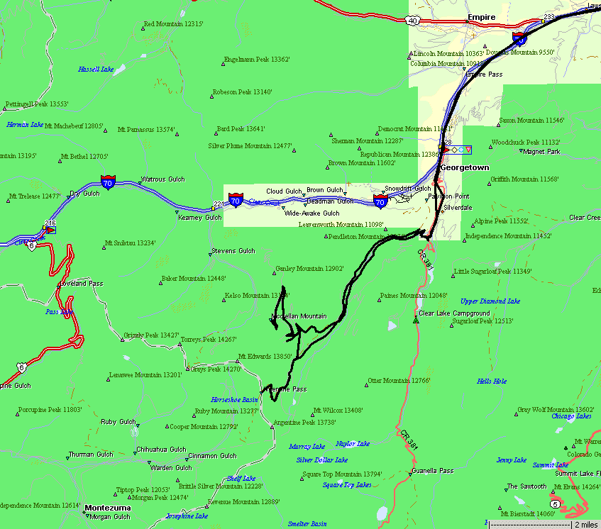
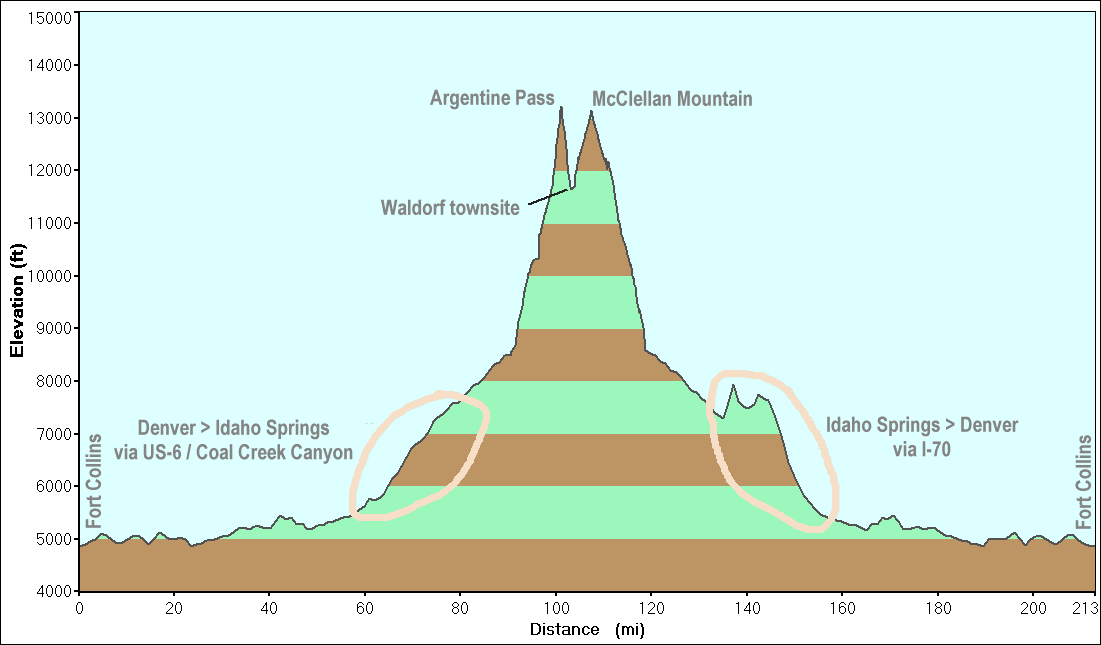
Argentine Pass & McClellan Mountain
|
The
plan is to visit Argentine Pass, which is on the Continental Divide. It
is in a silver mine region so the landscape is dotted with old mining
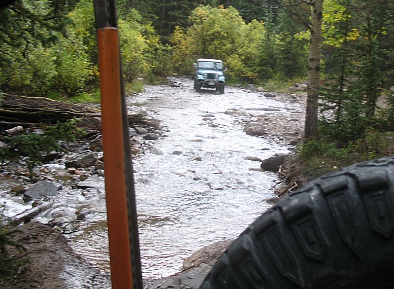
activity. The jeep group (those who desired to travel the area for
today) will travel up to Argentine Pass. It used to be a stagecoach
path though the western slope is not wide enough for a vehicle - hiking
only. There used to be a telegraph/telephone line over the pass with
poles, now cut off, marking the route. About half of the original group
will stay and visit the McClellan Mountain trail. The area mines were
serviced via a railroad - Argentine Central - to the ghost town of
Waldorf. From Waldorf a tourist route was run to near the peak of
McClellan Mountain. |
|
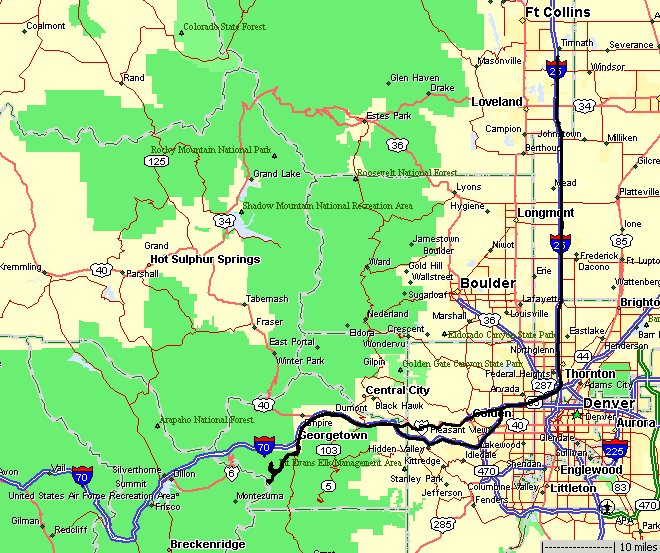
This map shows the two parallel routes from the highway just south of Georgetown. |
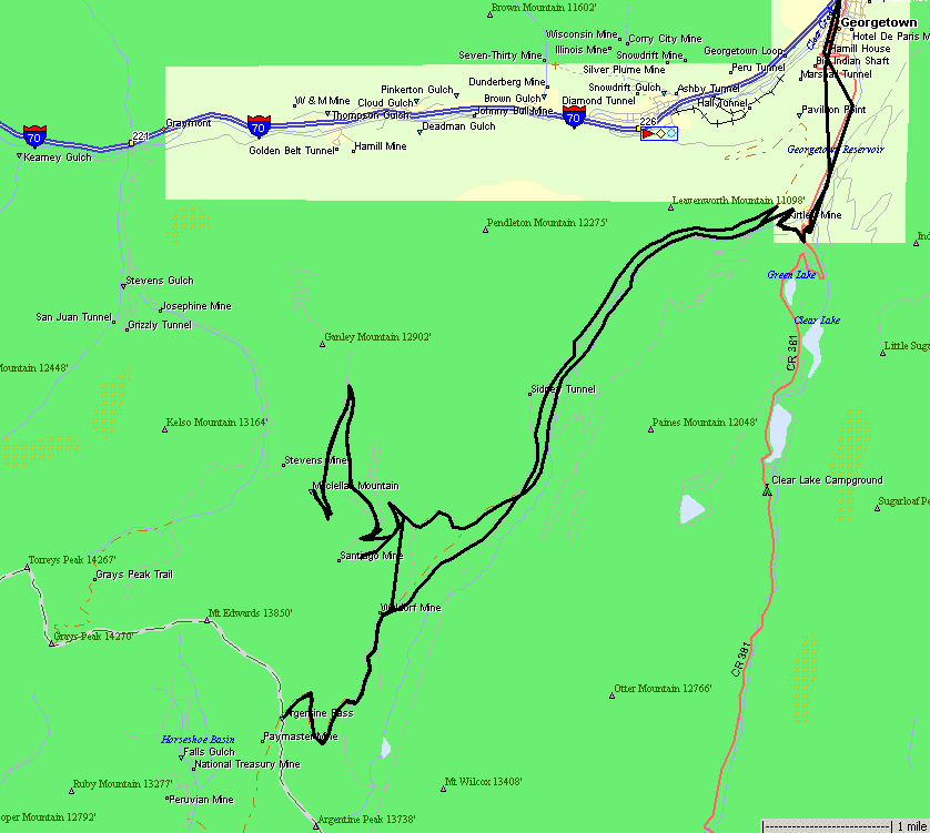
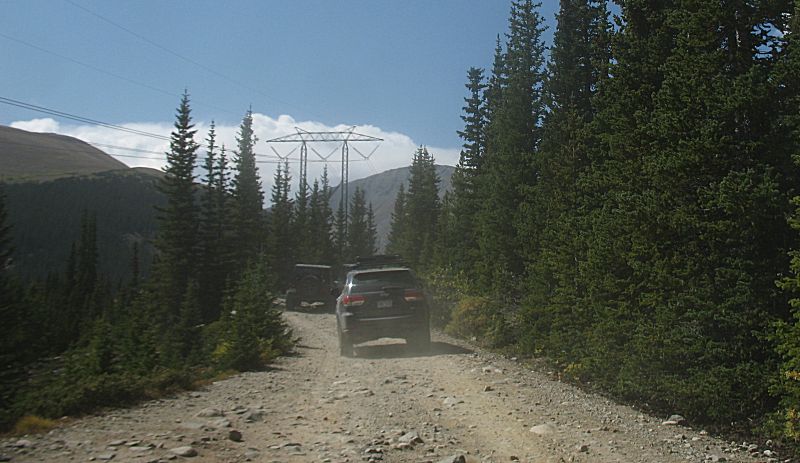
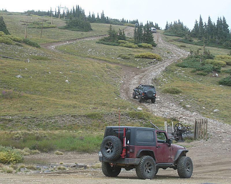
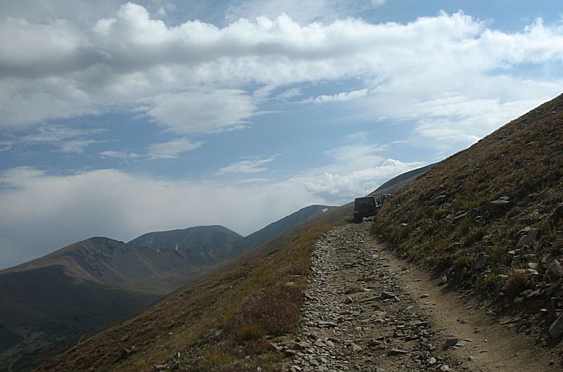
| Starting
out, taking the "high road" (old railroad grade). We'll exit the trails
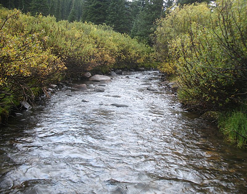
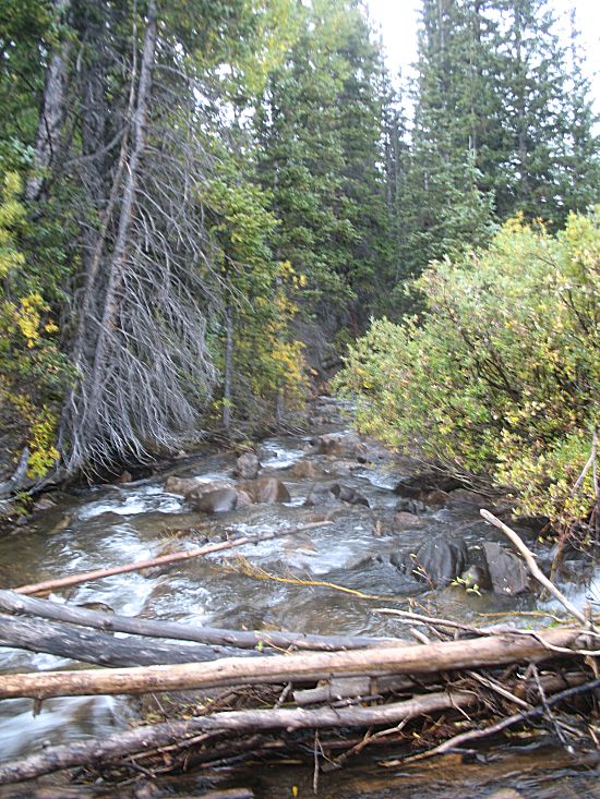
today via the "creek route" which is down in the valley to the left. |
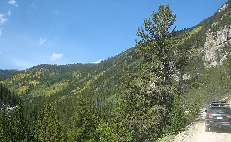
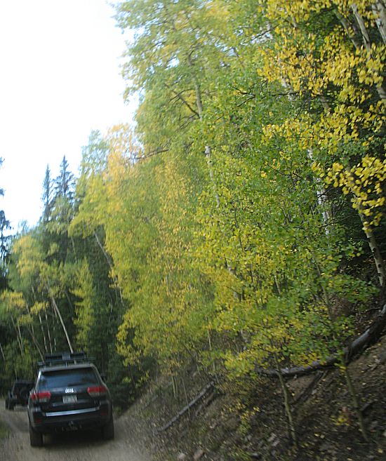
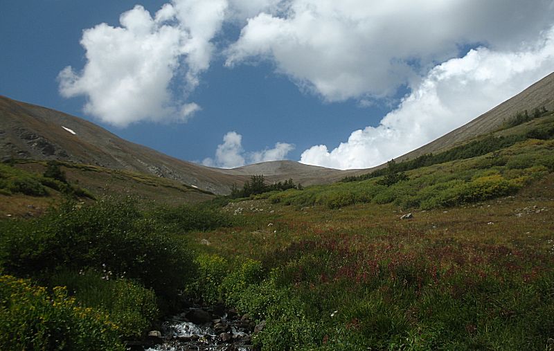
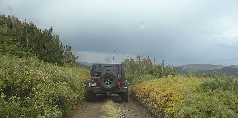
| Fall colors are starting to show! |
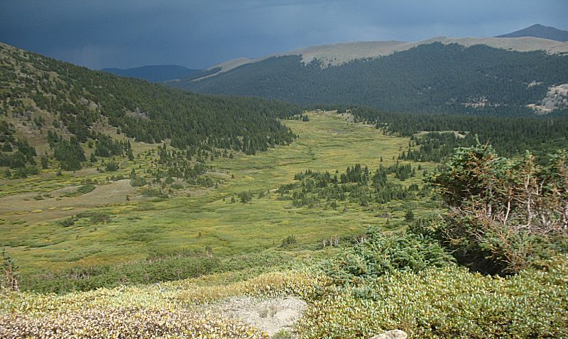
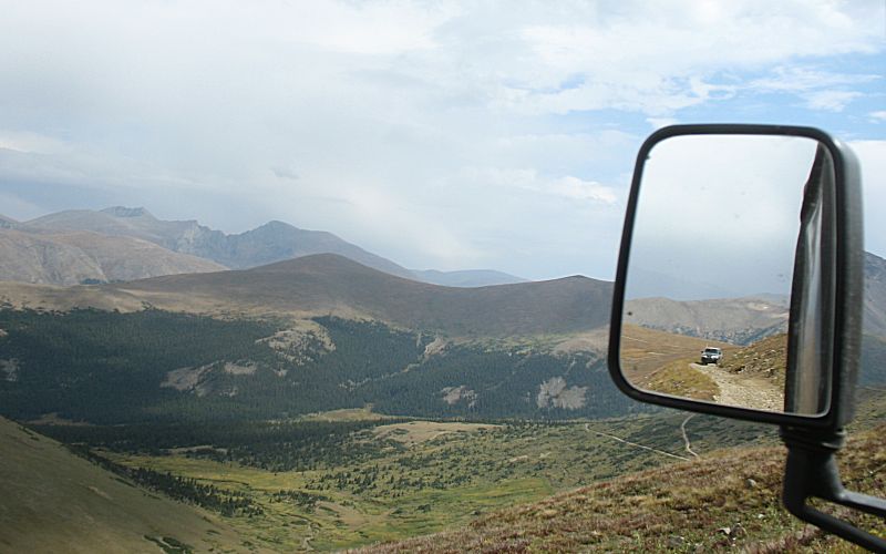
| One
photo specifically for the large power lines that span up the valley.
Future photos will show a beautiful valley - and it is large enough
that the power lines disappear while in perfect view. |
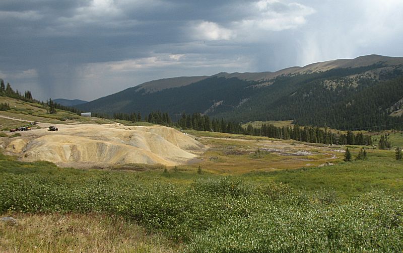
| Waldorf
townsite, where the jeeps are parked. Rain falling to the east of us.
In the valley - right edge of picture - power lines barely visible. In
person it's the same - one needs to search them out. It is nice that
the natural valley is what the eye sees. |
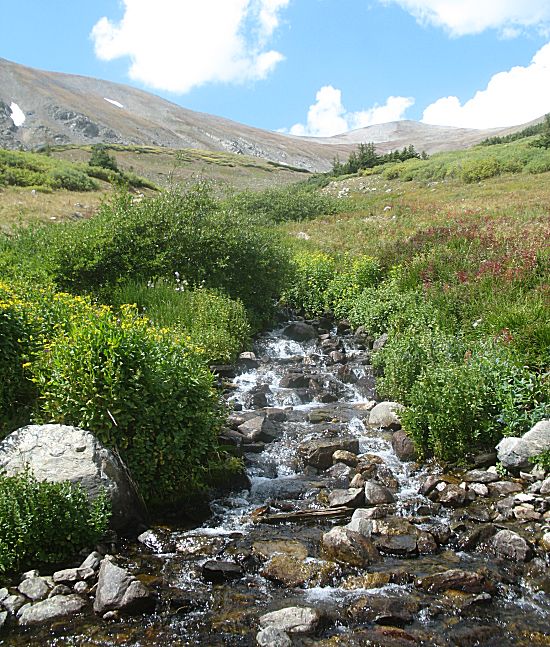
| Scant little snow is left for runoff - could this be spring fed? |
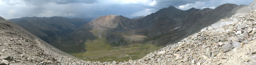
| Argentine Pass - looking west. This is on the Continental Divide. Argentine Mountain is to our left and out of view. Grays Peak is on the ridgeline extending westward from the right of this photo. Panorama (Click for a larger version) |
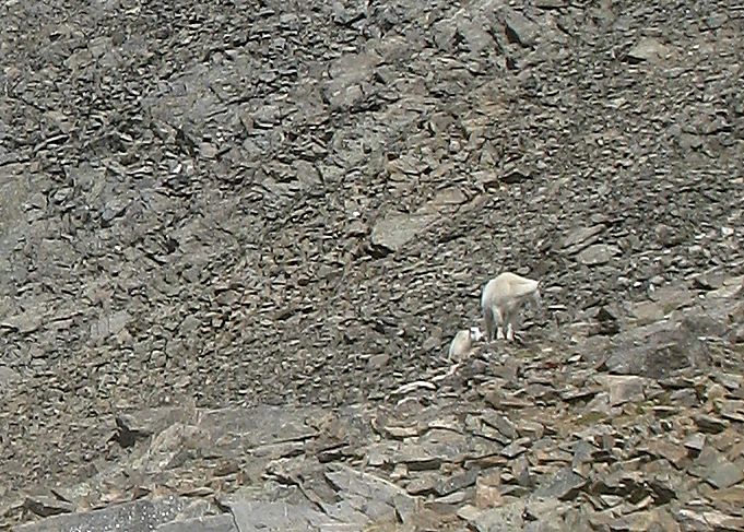
| A couple mountain goats in the area. |
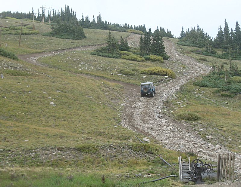
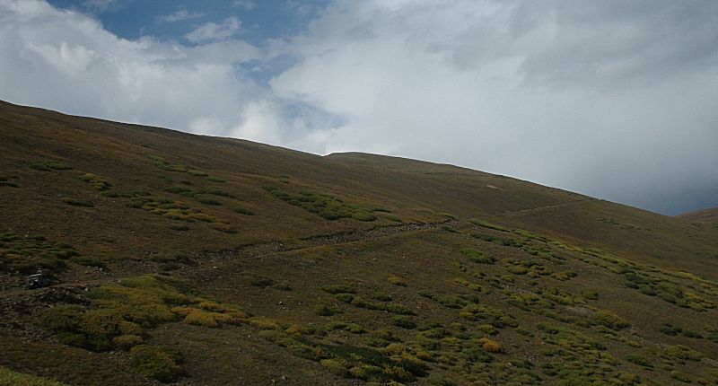
| Heading up the steep route to McClellan mountain trails. Power poles / pump relics from mining days. |
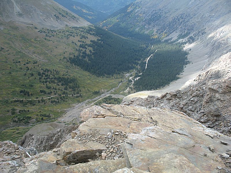
| Working up McClellan mountain. The trail we'll take used to be a tourist train line (search for Argentine Centrail Railroad). The curves and grade will be uniform and shallow. |
| The tall mountains, top
left in this image, I believe are Mount Evans (tallest peak - farthest
back), then to the right with a distinct ridge should be The Sawtooth
with Mt. Bierstadt to the right. |
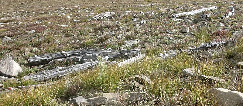
| Old "logs"... Interesting that each is right about four feet in length - old railroad ties left behind. |
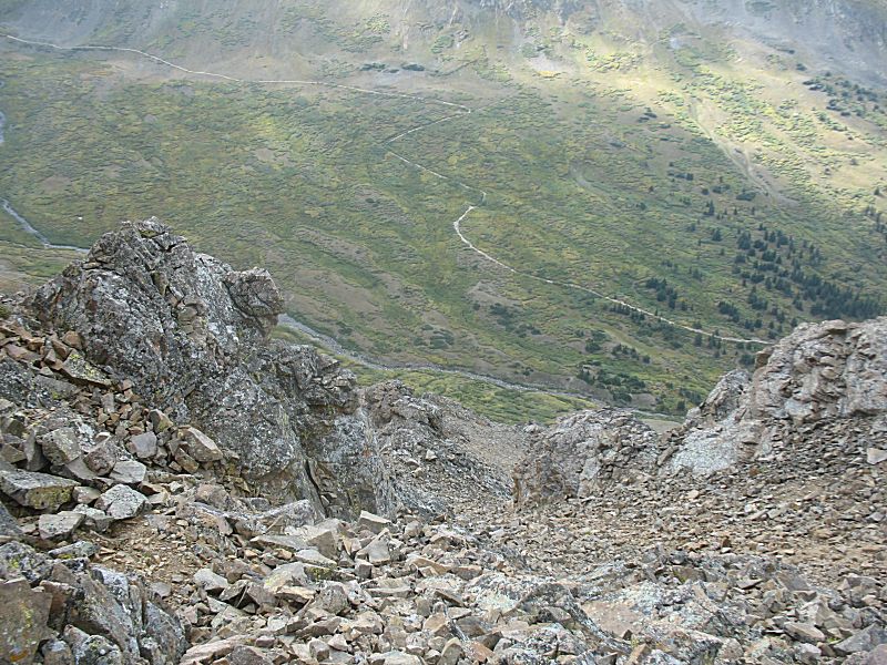
| Atop
the lookout / end of the train line for McClellan Mountain. Looking
down, westward, at the hiking trail for Grays and Torreys mountain
peaks. |
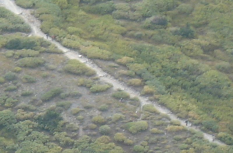
| Spot the hikers. |
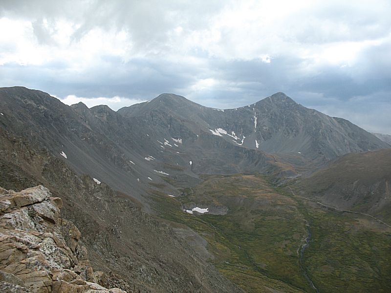
| Grays Peak, 14,278 ft (left). Torreys Peak, 14,274 ft (right) They are on the Continental Divide |
| Looking down at the parking area / trailhead. |
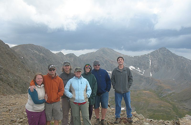
| The
McClellan group - about 1/2 of the total group for today. McClellan was
a "tack-on" where some of us wanted to visit this spot if there was
time - we made it but it'll be a full day. |
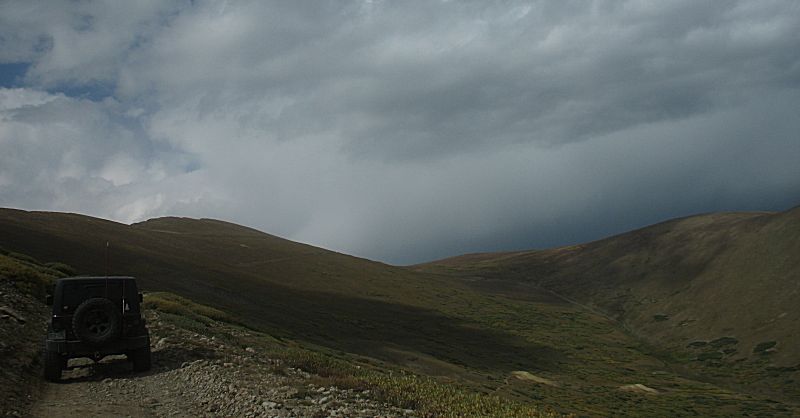
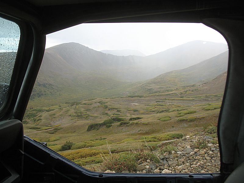
| Heading down and out. Looking up the Argentine Pass valley with a passing rain shower. Power lines you ask??? I can't see'm either but they extend from the left edge, just below the trees, up and over the ridge at the center of the picture. I opened the original / full size of this image and scanned - I was only able to pick out one set of poles. A nice, LARGE valley for the eyes to take in. |
| Rolling with the "creek exit" for the day. This is in the valley. Up the hillside to our left is the "high road" we came in on. |