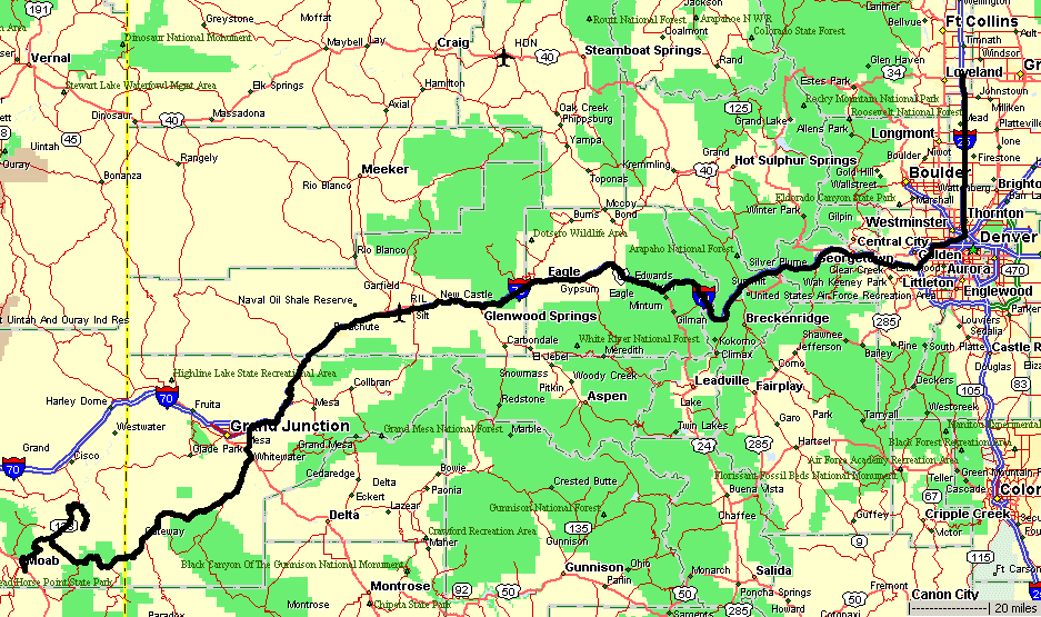
Top of the World, Castle Valley to Gateway CO, travel to Fort Collins
|
Sunday
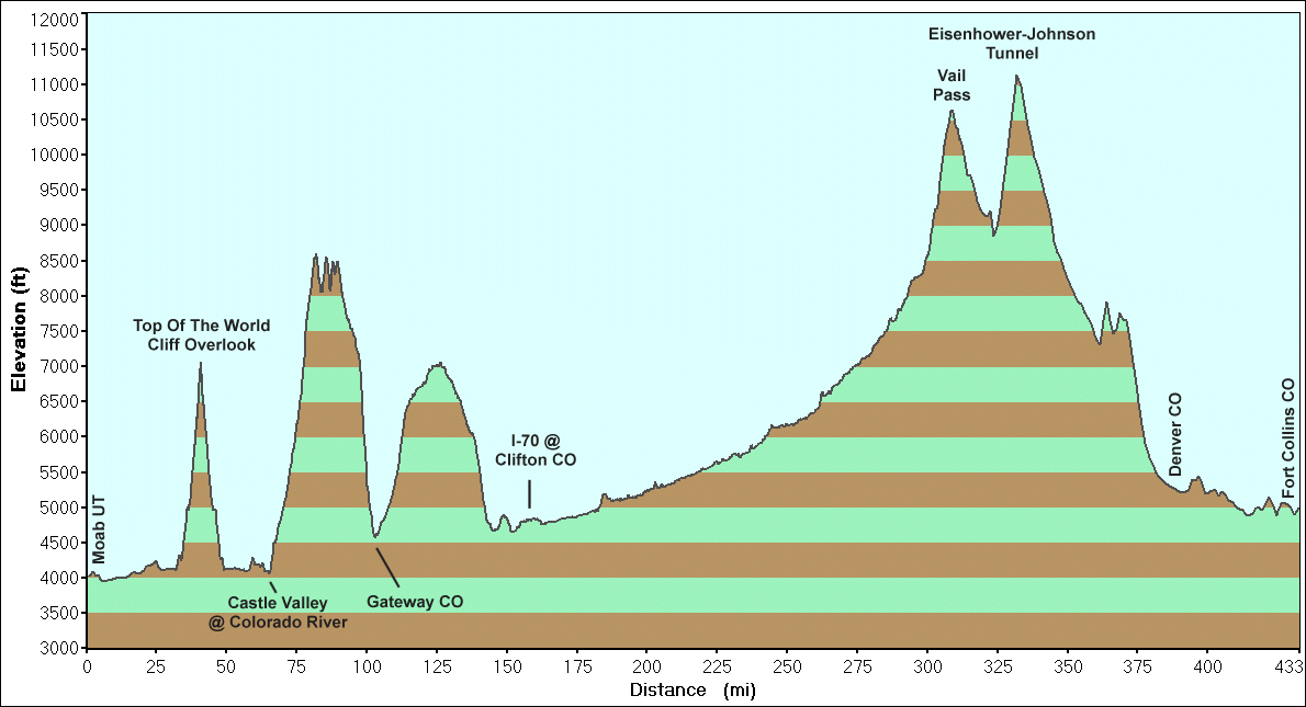
Top Of The World, Castle Valley to Gateway, travel to Fort Collins 433 miles 16h 10m Brian and family are looking to visit Arches. James and I will travel to the Top of the World trail and then we'll split with me taking the Castle to Gateway route back to Colorado. |
| Rain spitt'n |
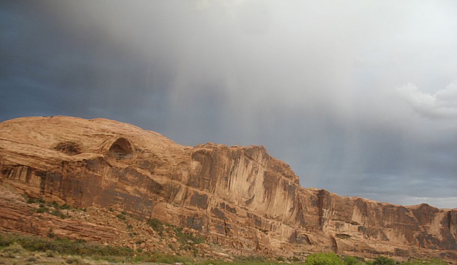
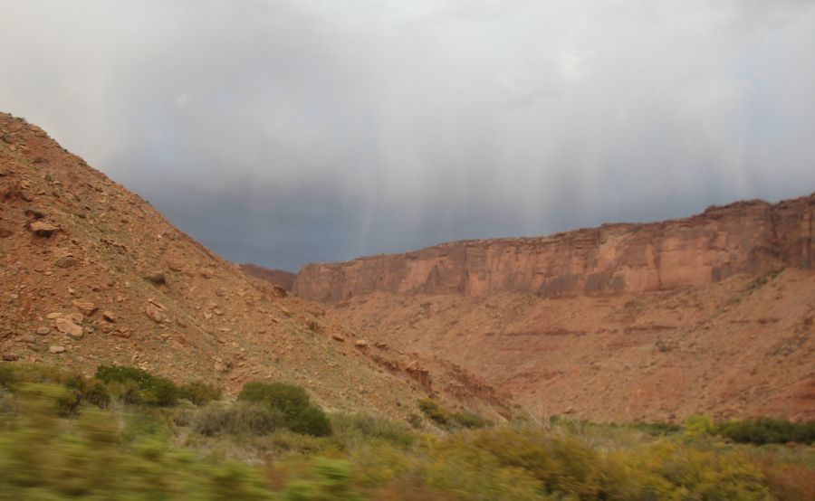
| A rainbow just try'n to peek |
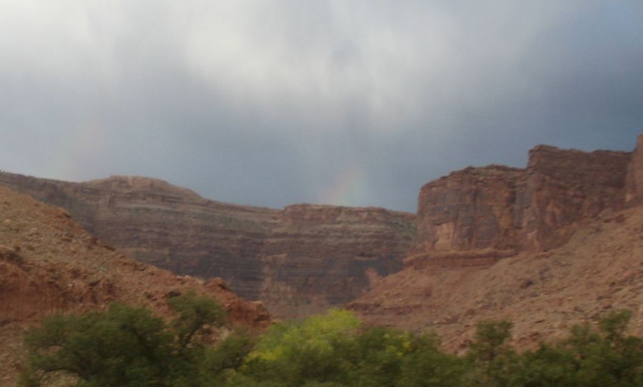
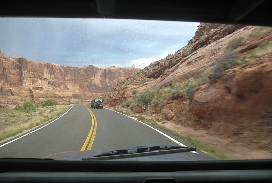
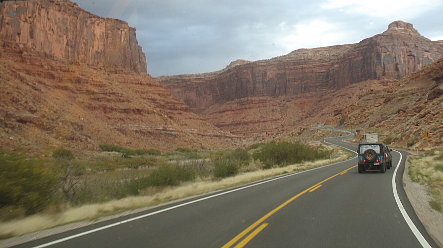
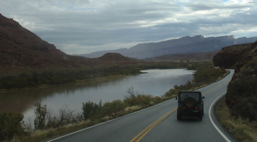
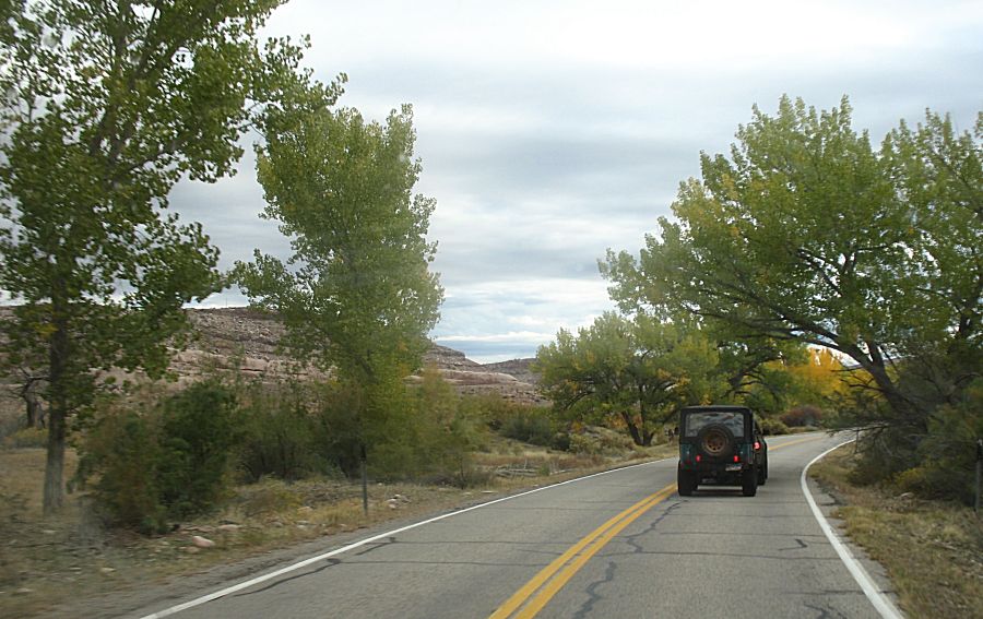
| MmmmMmmmMmmm - UT-128 - a nice road. |
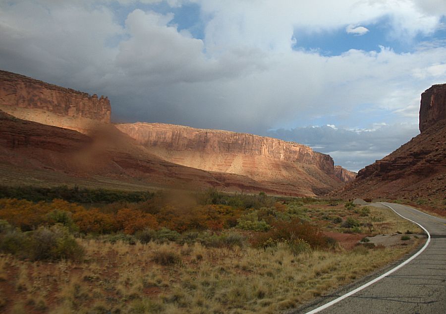
| Streaks of rain |
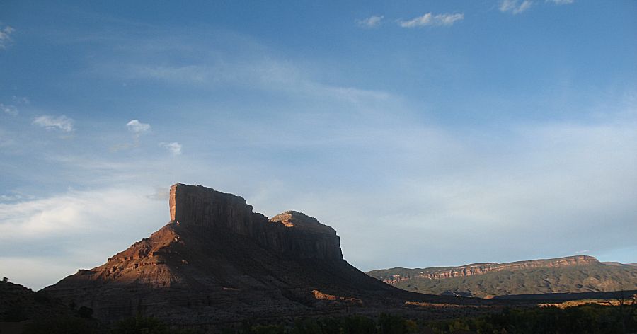
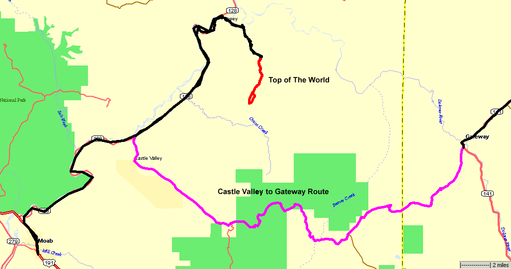
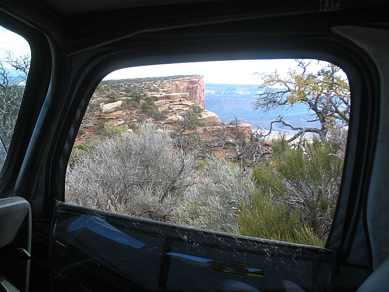
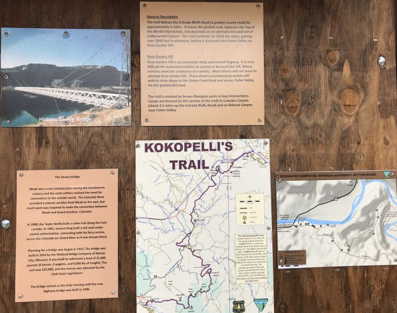
| Nearing the Dewey Bridge area for the turn to
Top Of The World |
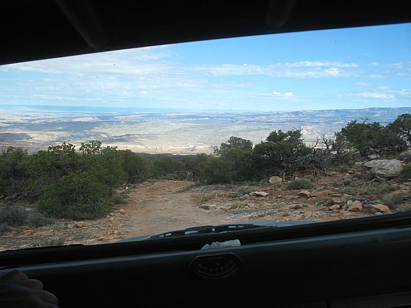
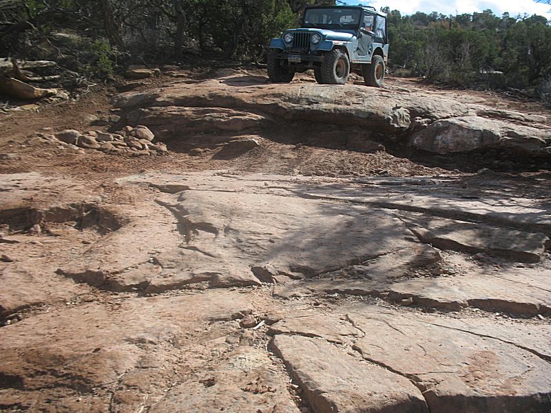
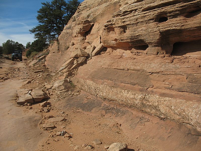
| James left his tow vehicle at the UT-128
parking area. We aired down and drove the ~5 miles on county gravel to
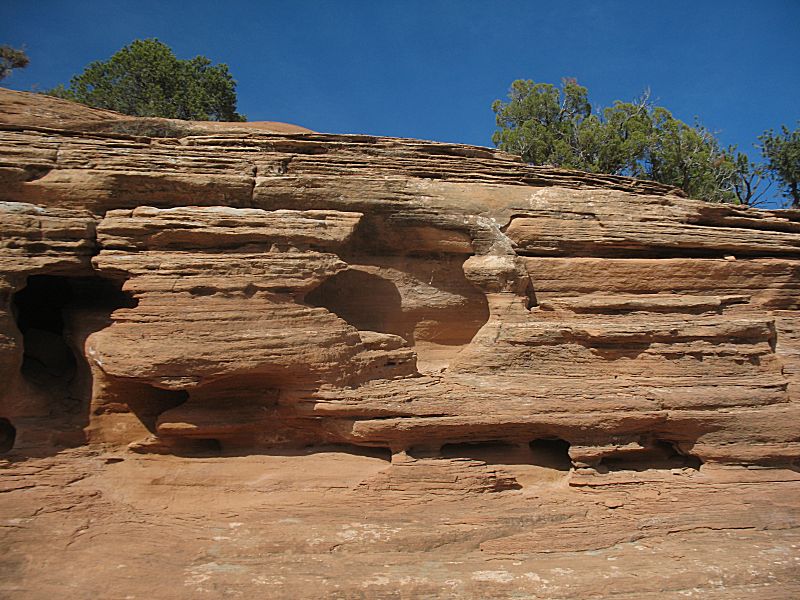
the trailhead. The trail wasn't overly difficult until the remaining
1/4 of the trail then the "steps" became taller. |
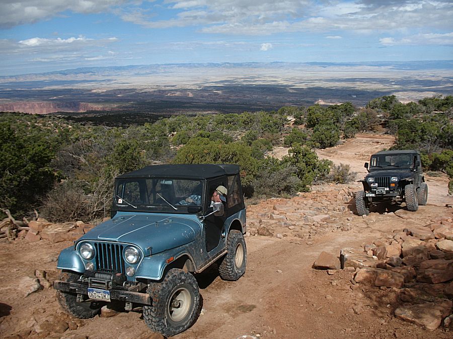
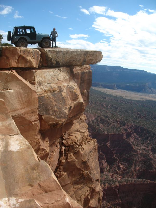
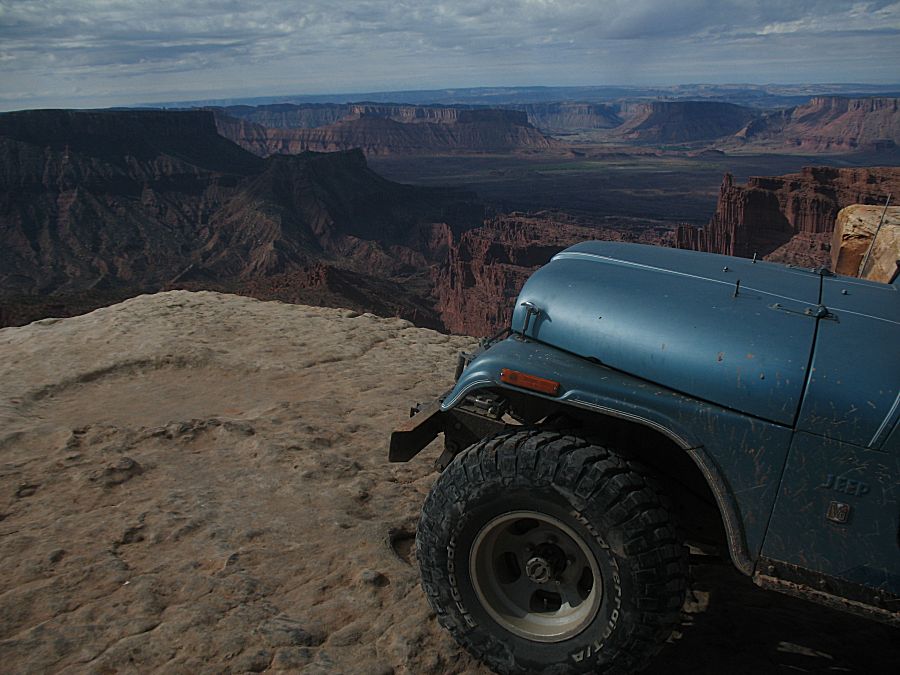
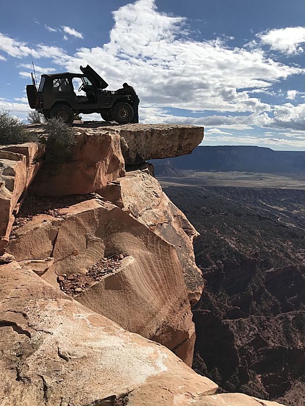
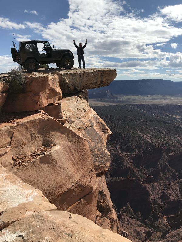
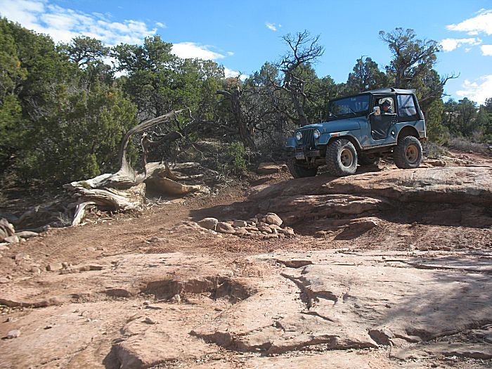
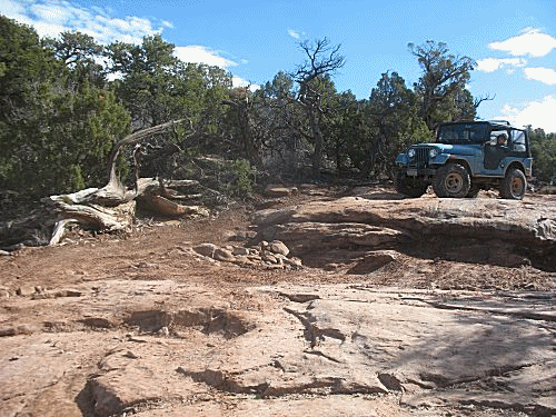
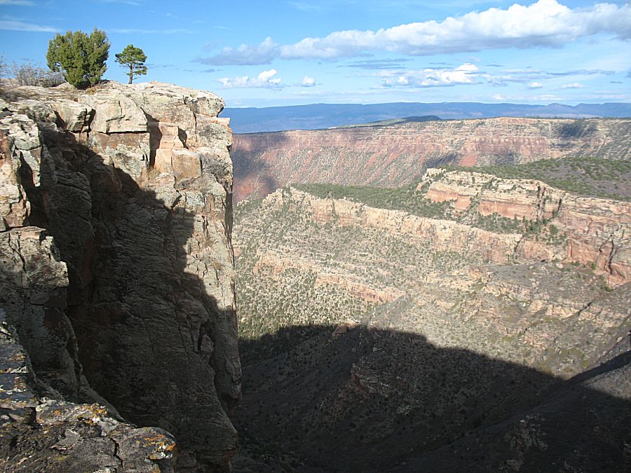
| The goal for the trail - the cliff overlook /
overhang. Neither James or I will get too close. |
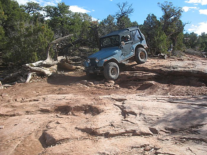
| This will be THE LAST TIME
that my sticky gas pedal will give me issues!!!! |
| Fixed! |
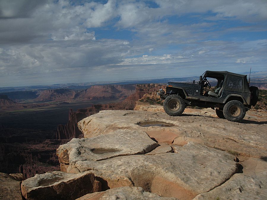
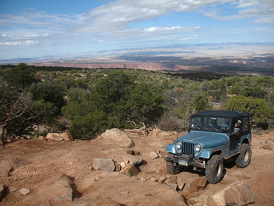
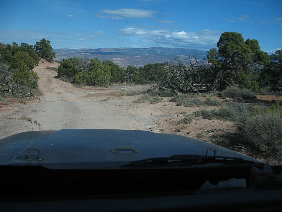
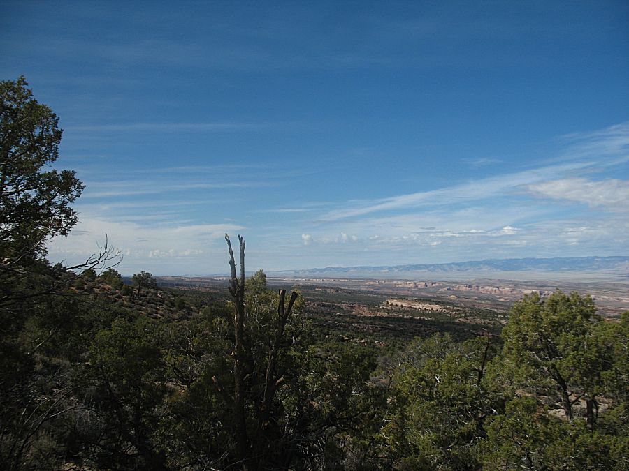
| Fantastic cell coverage here. Just below the
horizon is I-70 - about 18 miles away |
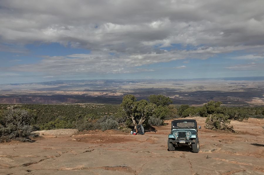
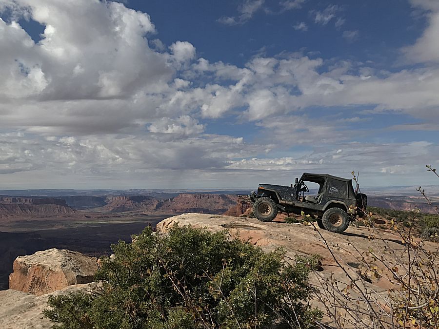
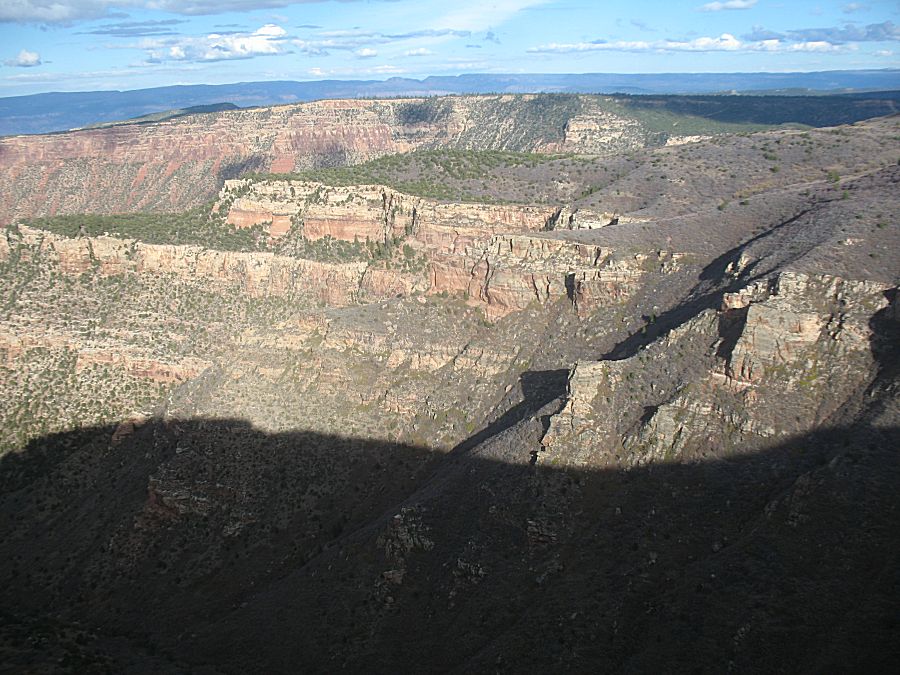
| Heading down / North from the overlook. |
| Video |
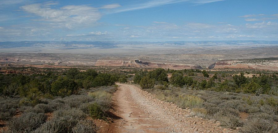
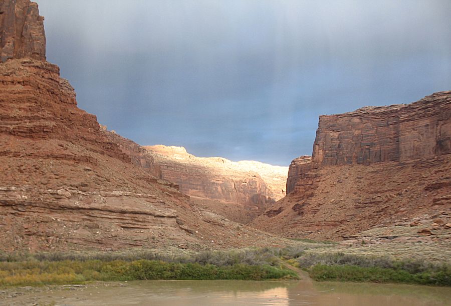
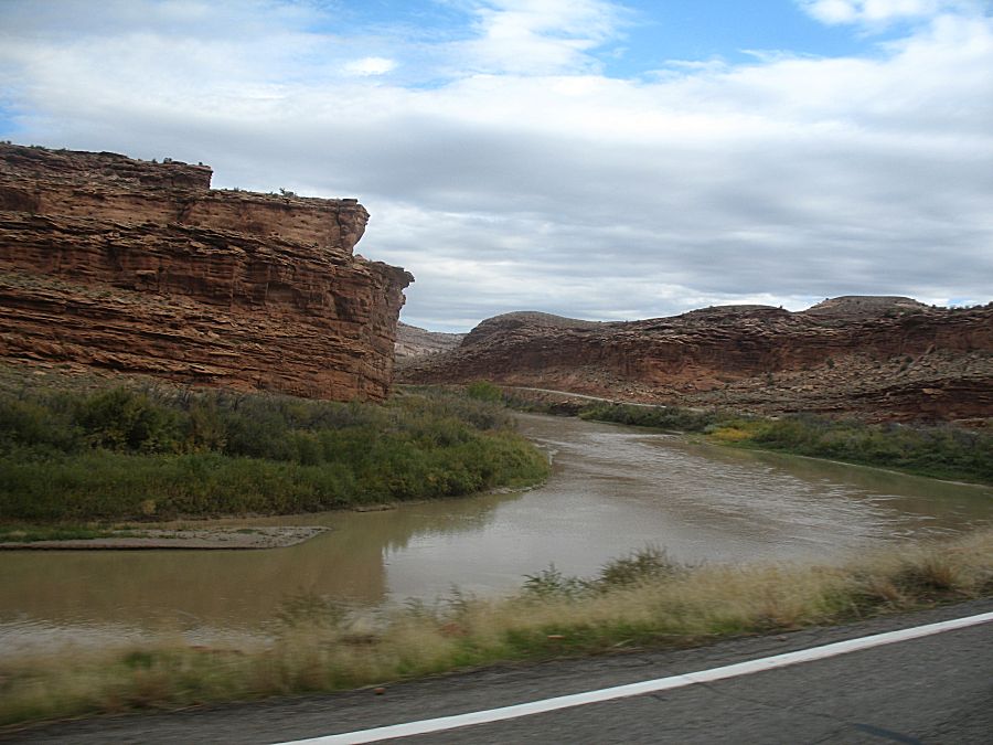
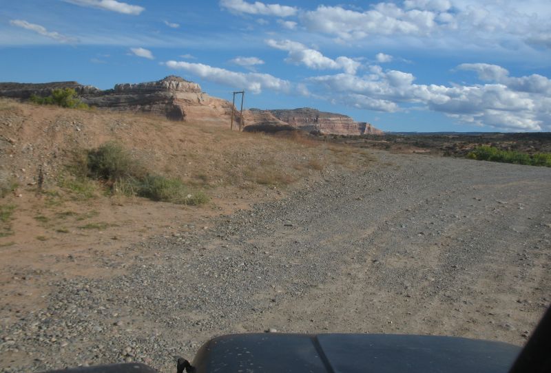
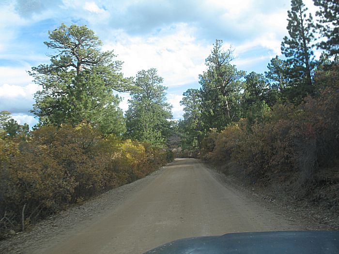
| Off of the trail and out to county gravel heading to the river. |
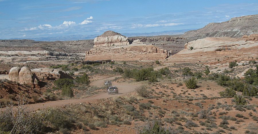
| Back
at the parking area by the river. James will head home via UT-128 up to
I-70 east. I'll drop south on UT-128 for the Castle Valley and head
east to Gateway via gravel / dirt to check out a little used road. |
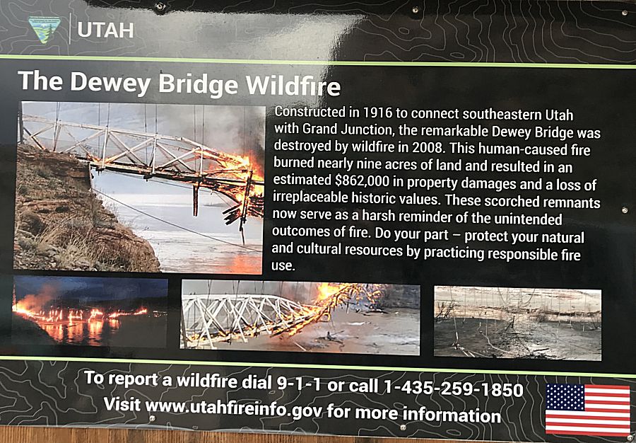
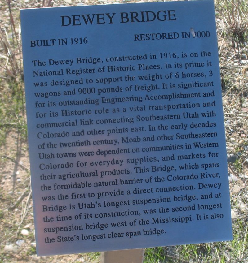
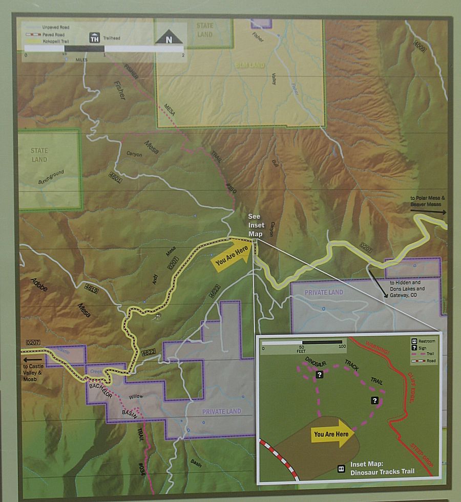
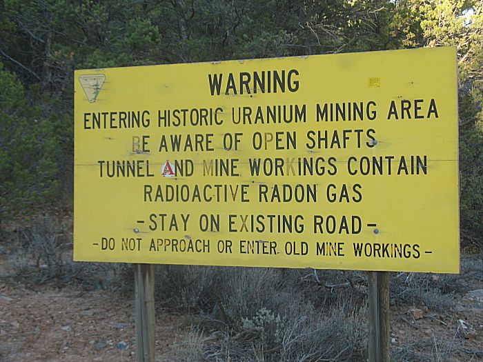
| (Click for
a much larger size - if you wish to read the signs) |
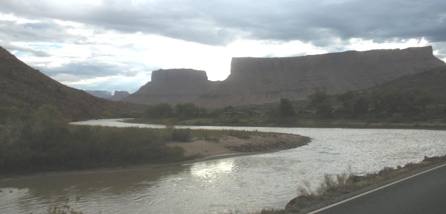
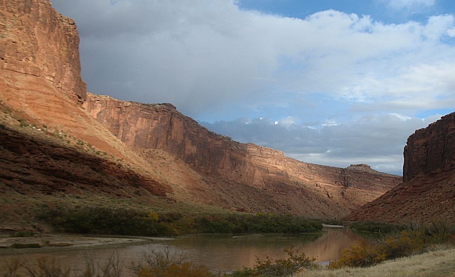
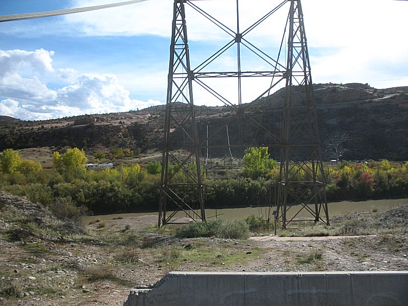
| Dewey Bridge - a sad reminder From this south end we don't see the Colorado River. I'll drive up to the north end for a view of the water. |
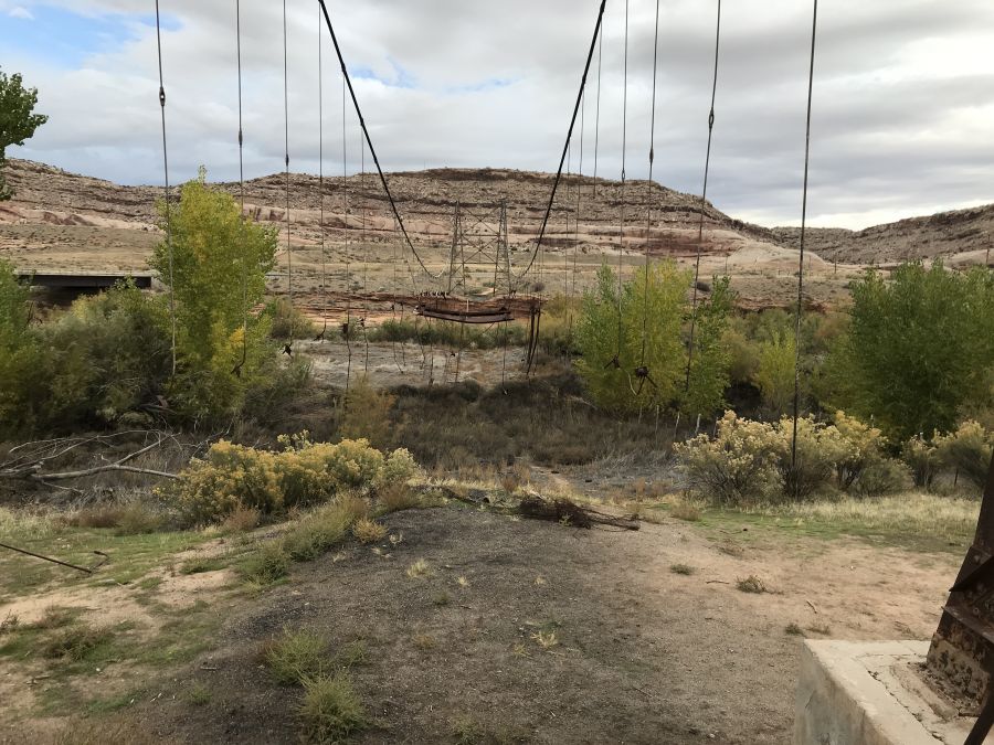
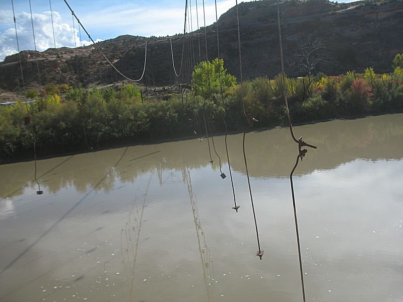
| The Dewey Bridge at the North end. |
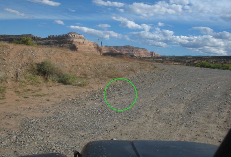
| We're
back at the north end gravel pull-out for the Dewey Bridge. Perhaps 20
minutes and five miles has gone by. James headed out and is many miles
up the highway towards I-70. From when we finished airing up tires and
saying good bye I have driven from the south side of the river to the
north side viewing area and had driven back south, pulled out at the
campground on the west side of the road to tend my seat belt. From
there I pulled out of that lot and was heading down UT-128. Back at
road speed I started an equipment check. The cell phone was not found.
I had pulled over at a roadside pullout for a more complete check - no
phone. OK - trackback. I vaguely recalled having the phone in my hand
when airing up. Perhaps I set it on a front fender. I somewhat expected
to see some black phone in bits on the asphalt (though traffic today
was quite lite). No phone. Pull into the west side pull out where I
tended the seat belt - no phone. Back to the air-up spot - no phone.
Getting nervous - will the phone be gone?!?! Out from the air-up gravel
to the north Dewey Bridge pull-out - is that it?!?! See next
pic... |
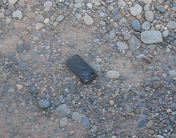
| One iPhone 7 in an Otterbox Defender case. The bulky case did what it was designed to do! |
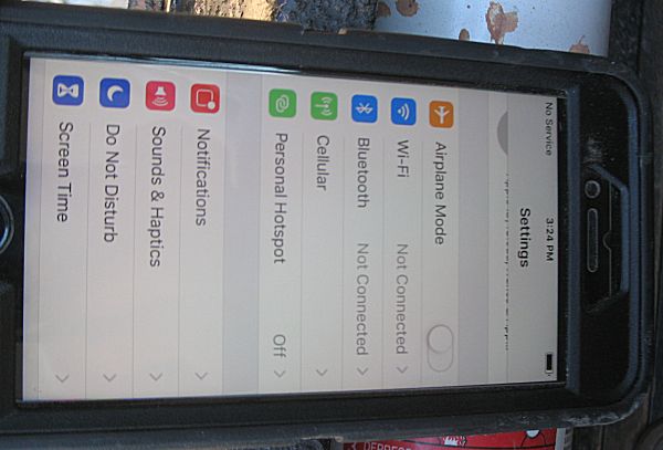
| Perfect
function and no scrach on the screen (plastic shield from the Defender
case removed and replaced with glass overlay protection). |
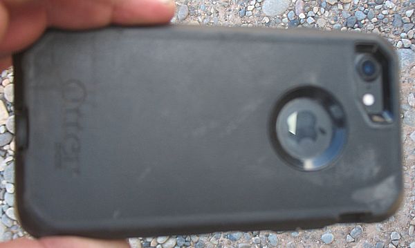
| No case scratch to cause concern. Pfew! |
| Panorama Click for a larger size |
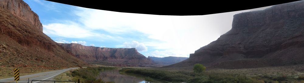
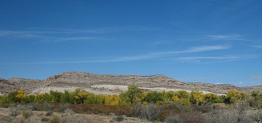
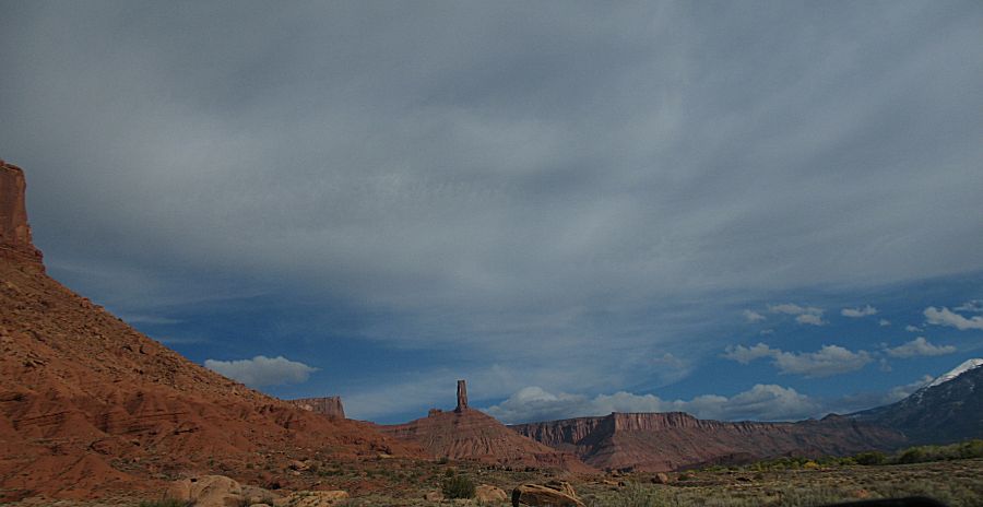
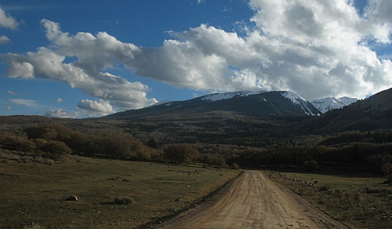
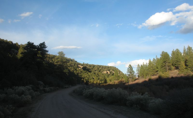
| We're now heading east in the Castle Valley. |
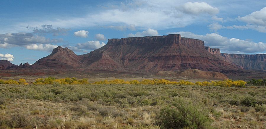
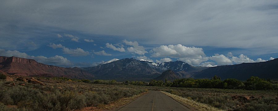
| There are many homes in the valley. |
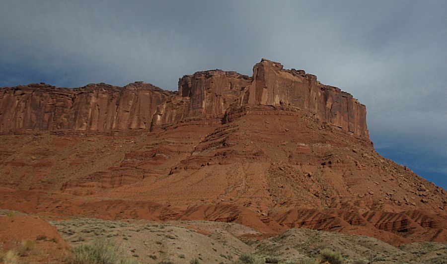
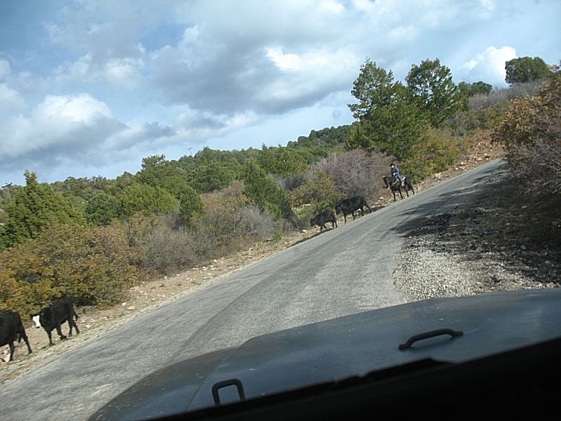
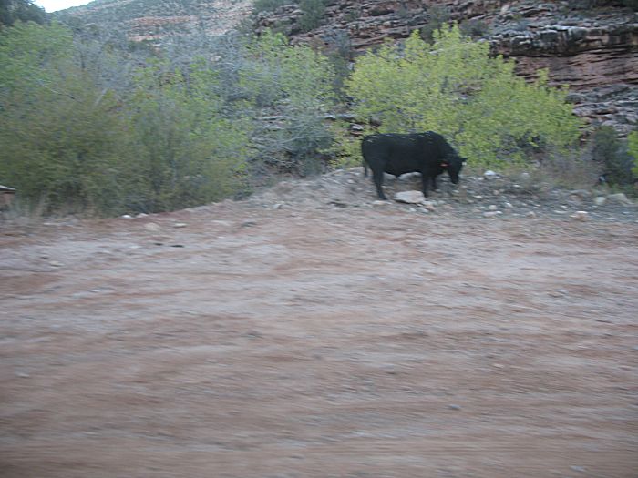
| On the western end, heading up in elevation, we came across a rancher moving cattle down. |
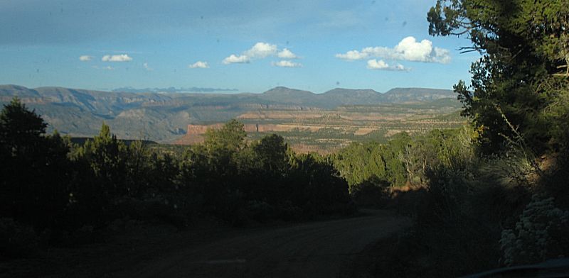
| Up higher, looking west down into the valley and the road I just came up. |
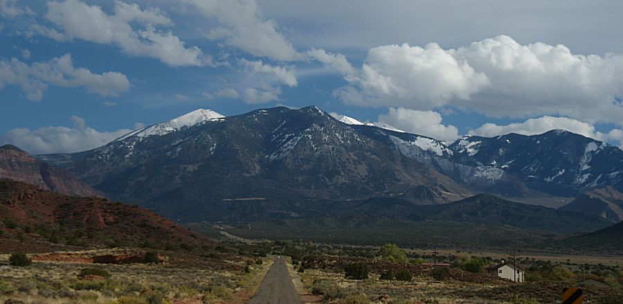
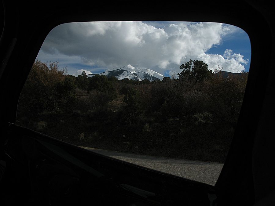
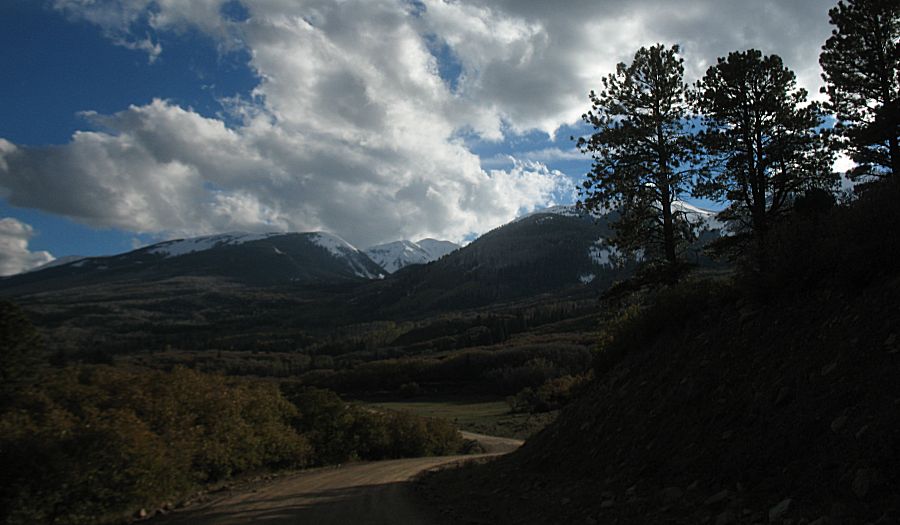
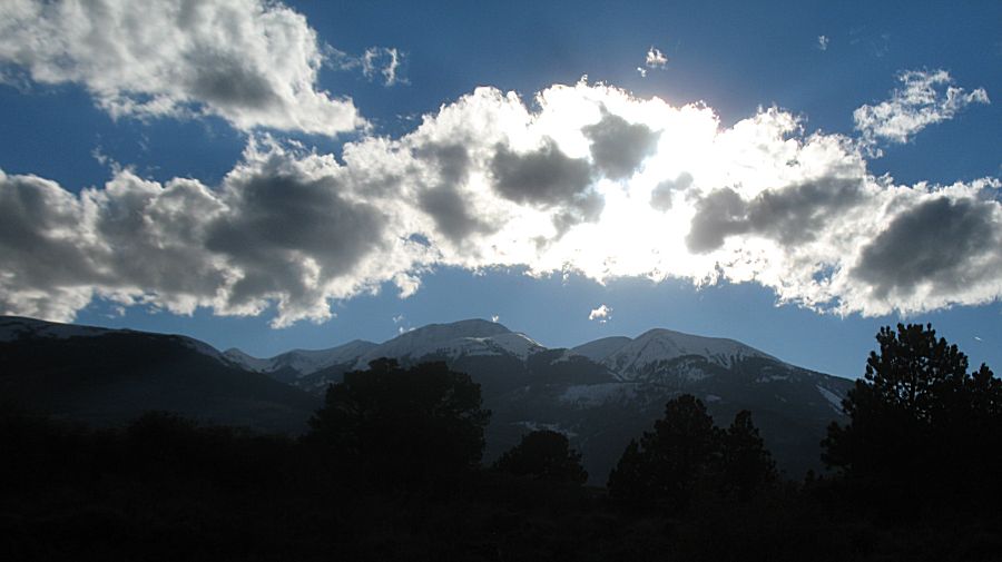
| North of the La Sal's looking south. |
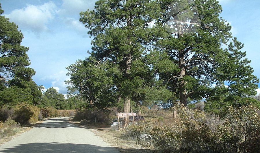
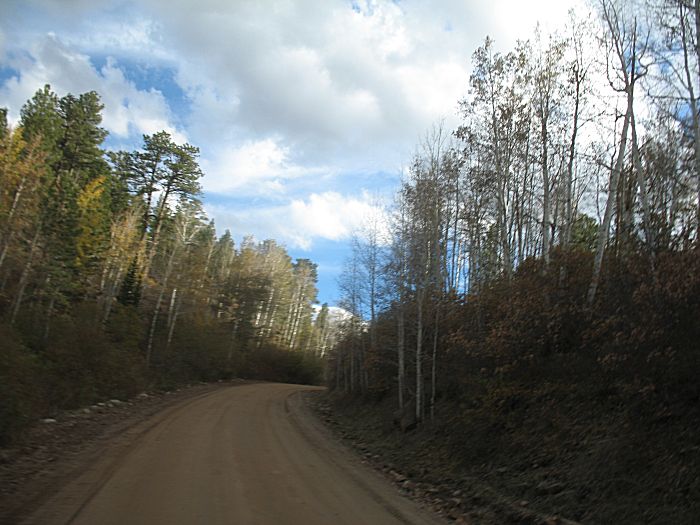
| Different trees |
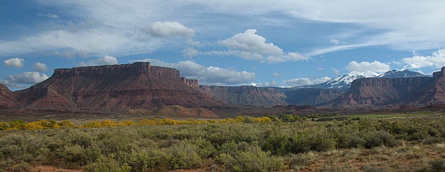
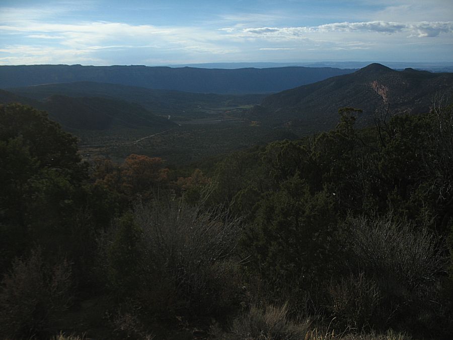
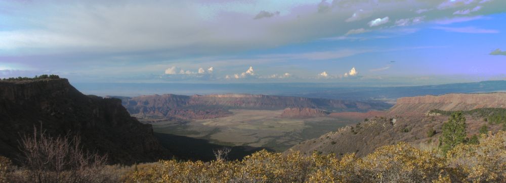
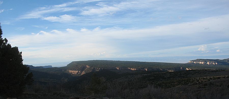
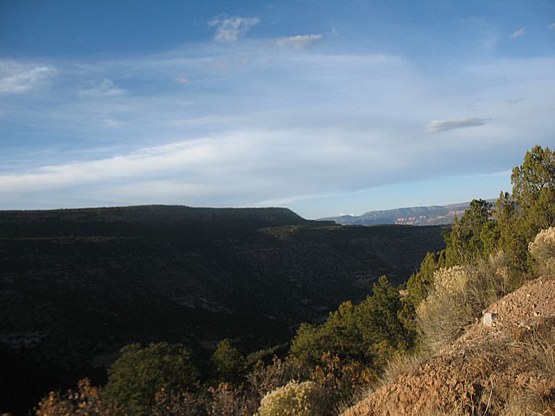
| Fisher Valley overlook |
| Panorama Click for a larger size |
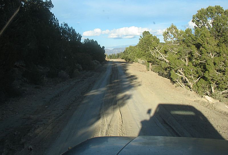
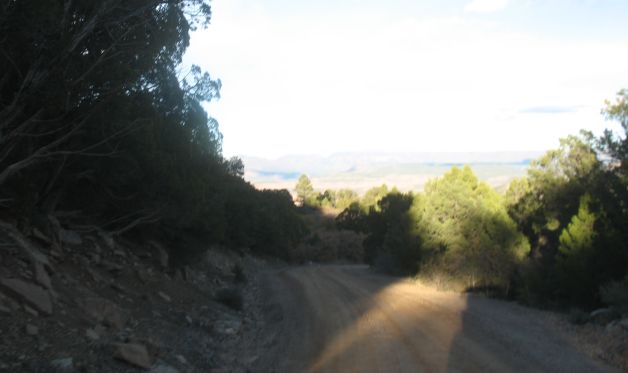
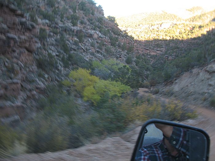
| Some
sections of road had mud-ruts from traffic traveling it in the wet. I
don't think I'd go this way if the soil was saturated. |
| One of the mud runs |
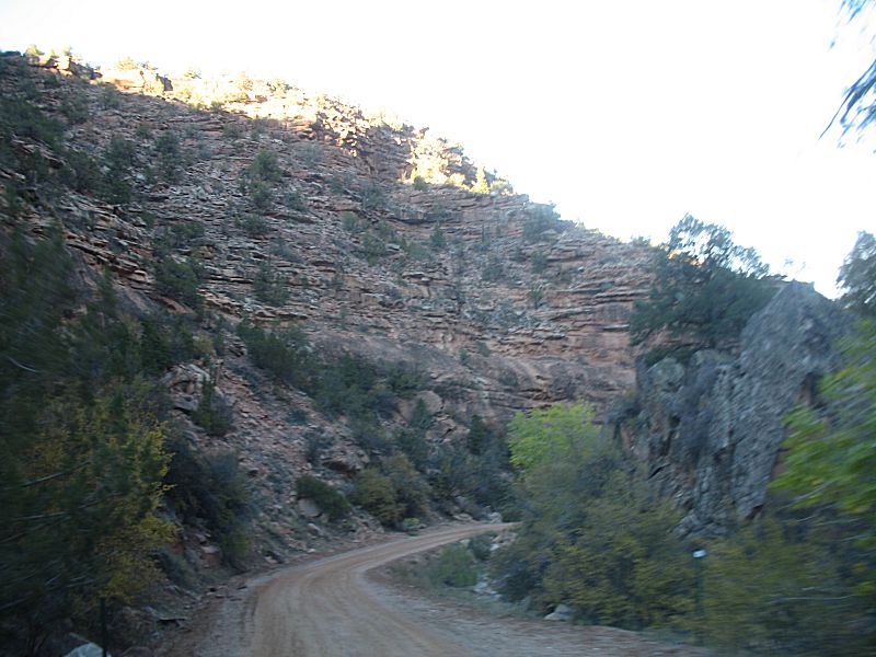
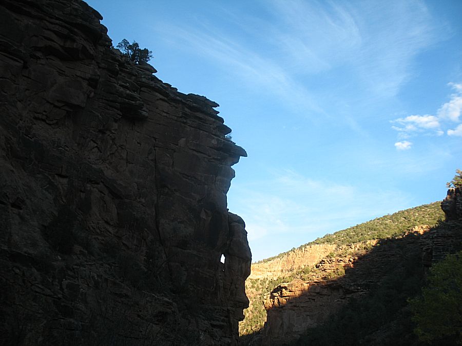
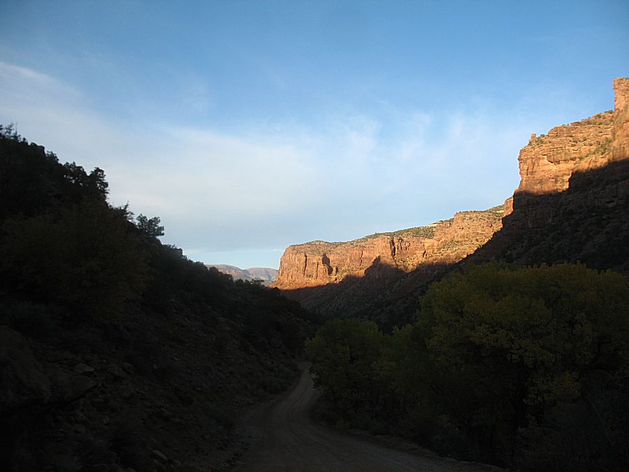
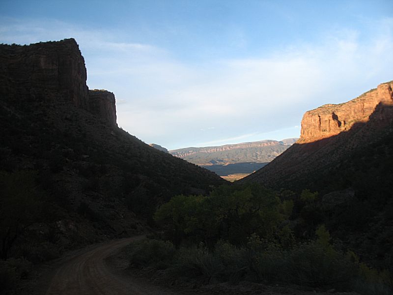
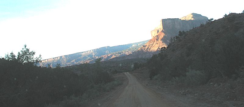
| Starting the drop down to Gateway |
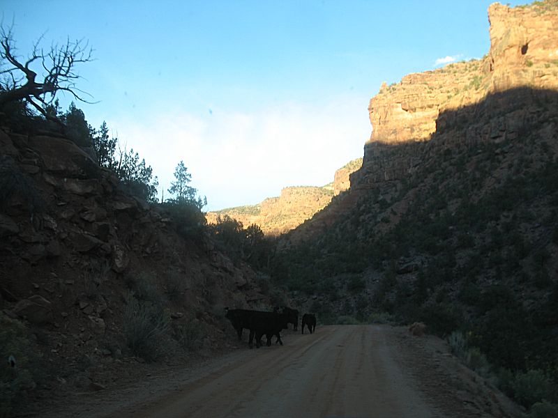
| More open range cattle |
| A nice valley |
| The Palisade Gateway Colorado |