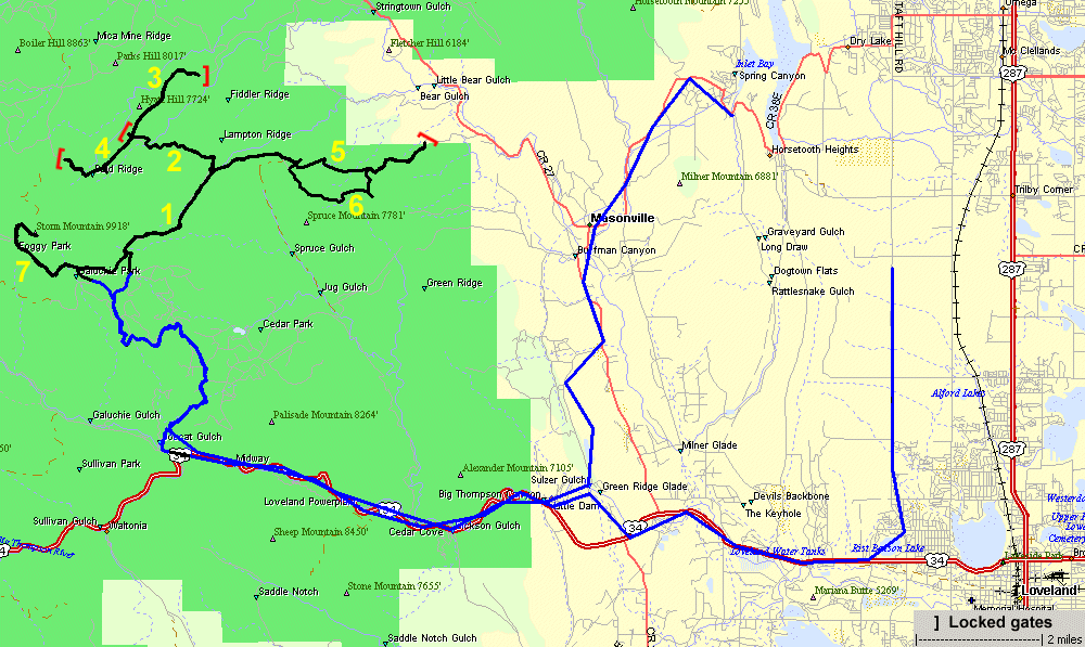
Storm Mountain - Full eastern trails
|
Today's
the day to explore the options for the eastern trails of Storm
Mountain. It was a day to start with a good tank of fuel as these
trails will be longer than many on the front range. After
completing segments 1 thru 6 we readied to travel the "typical" Storm
Mountain trail - segment 7. Near the start of segment 7 was a short
rainfall - enough to put the windshield up and small top on. After
getting up to Storm Mountain the top came off and the windshield went
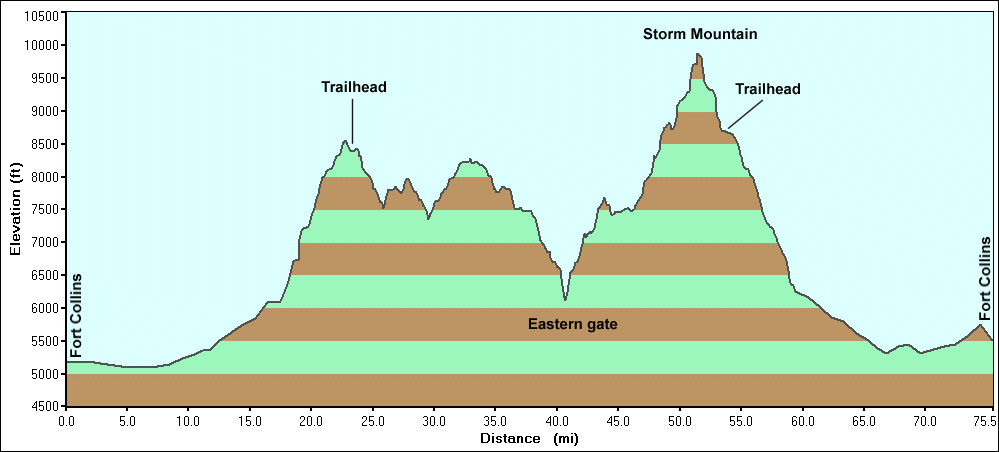
back down. The group met at the Loveland K-Mart at 9am and headed out about 9:15am for the short trek up US-34 to the start of the Storm Mountain housing community. We aired down before entering the community as the 5 mile / 20 minute trek has some washboard and bumpy gravel roadway (it looked like segments had new gravel placed and graded). Trailhead 10:20am - In Trailhead 4:40pm - Out 6h 20m elapsed trail time 30.8 trail miles (in-n-out trail so two-way travel of 15.4 miles of trail) 5 mph - Average trail speed (including stops; 7-11 mph speeds) For the Day: ~75 miles ~9h 20m |
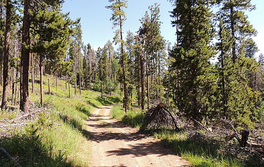
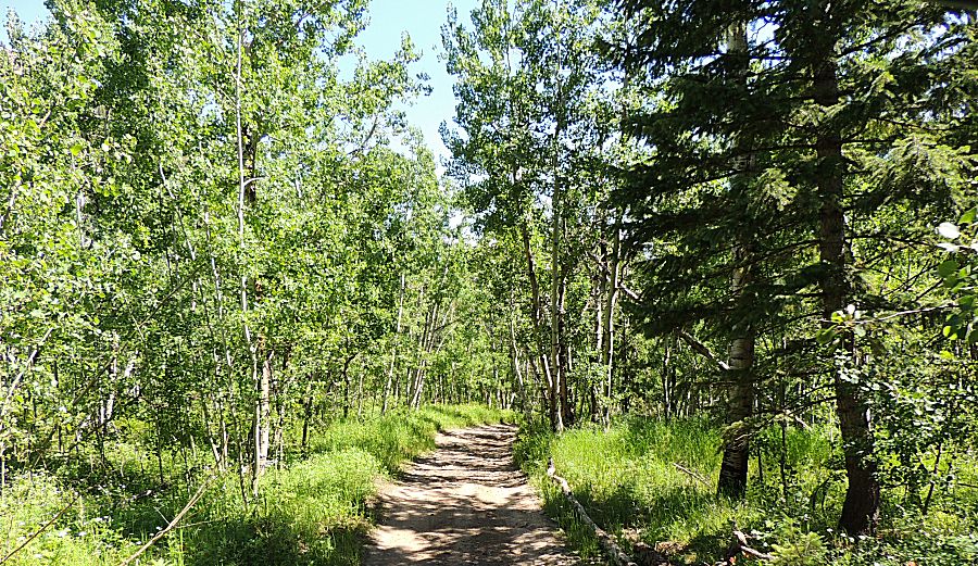
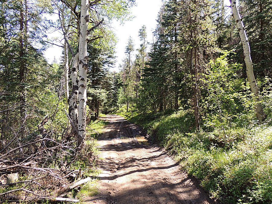
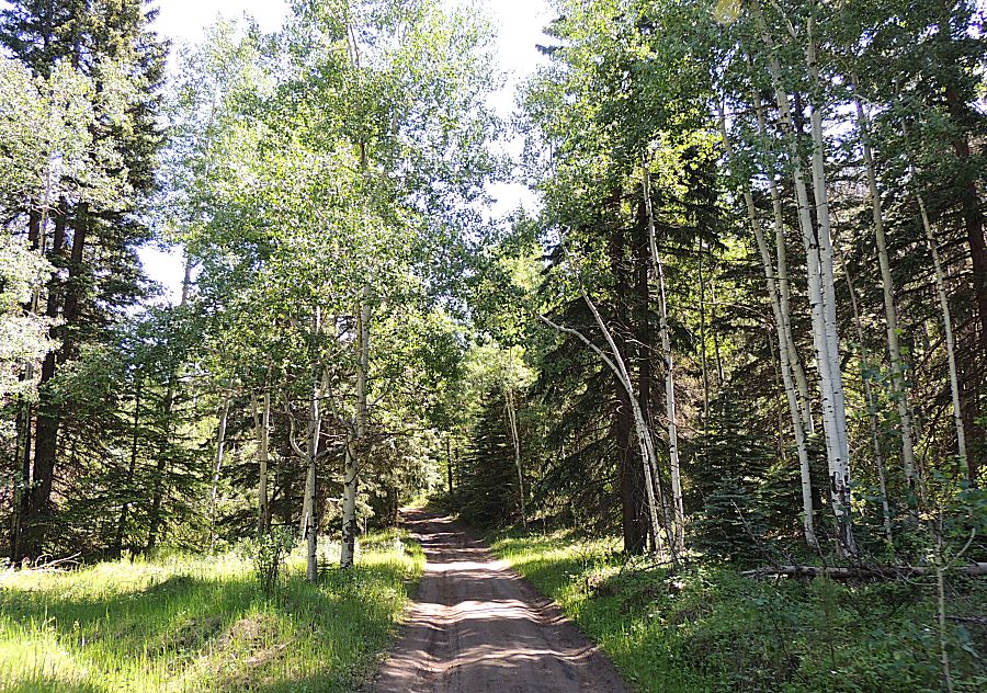
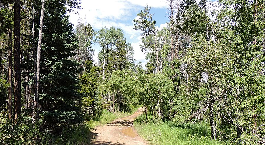
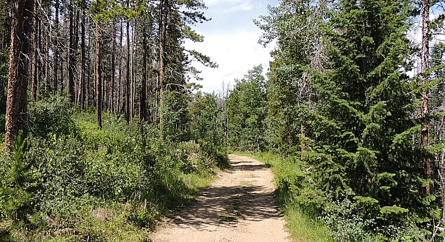
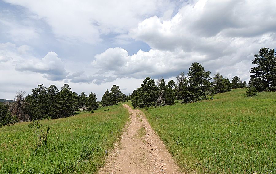
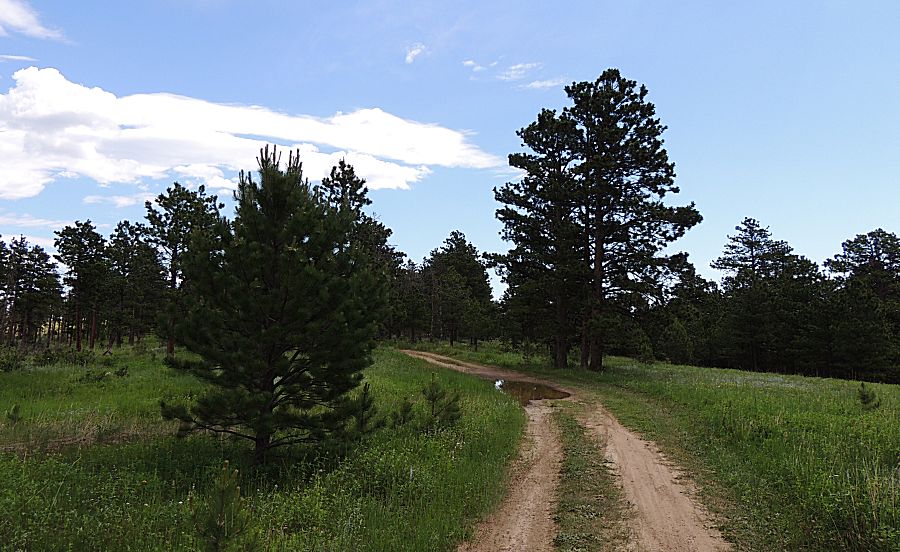
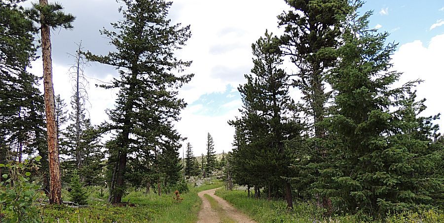
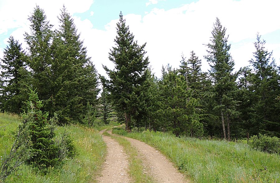
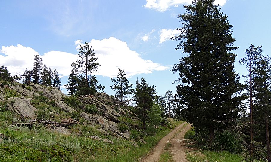
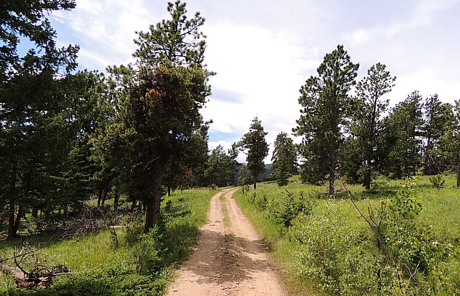
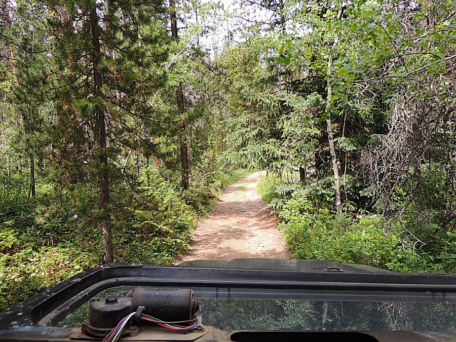
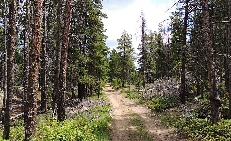
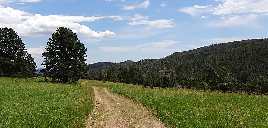
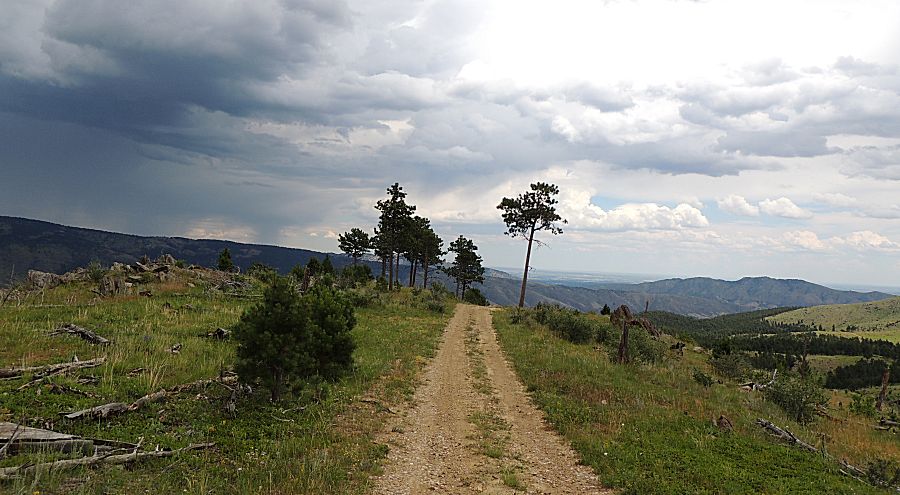
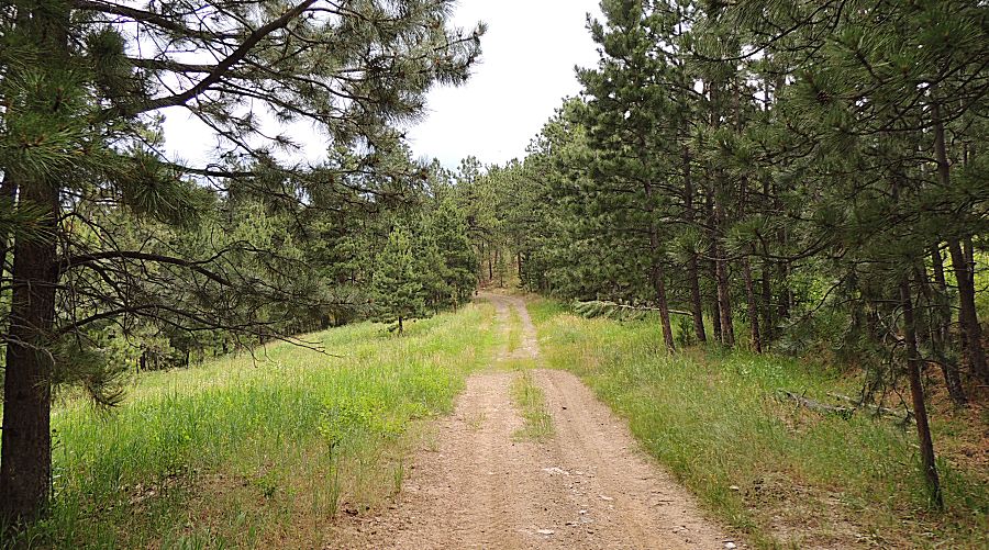
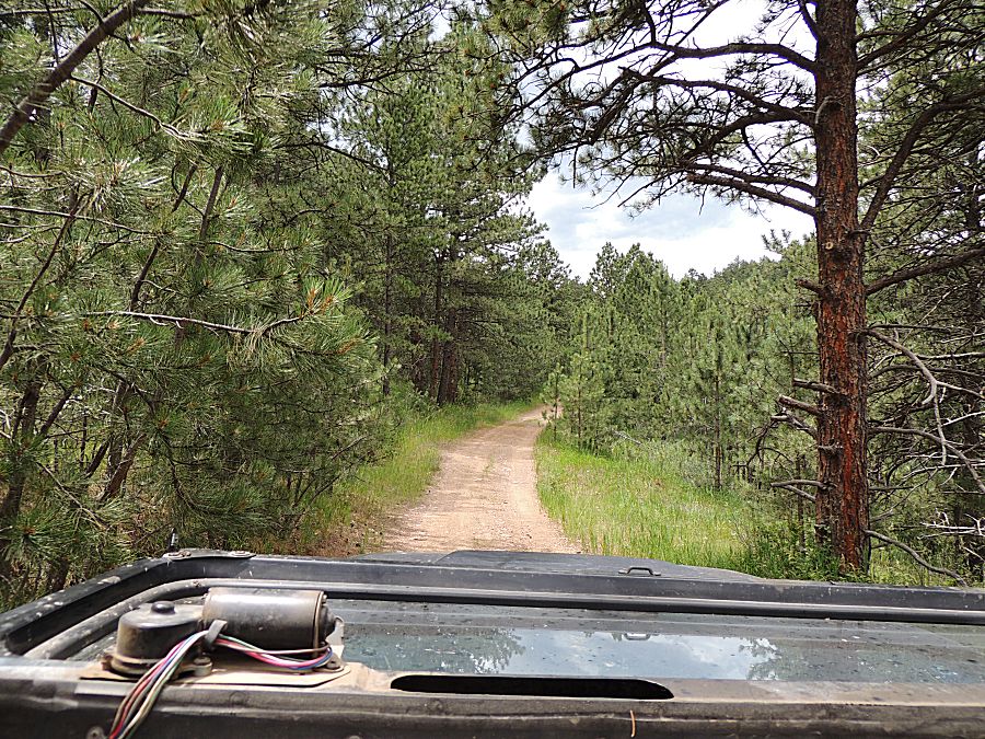
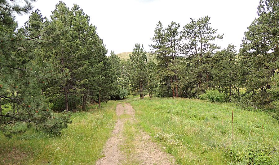
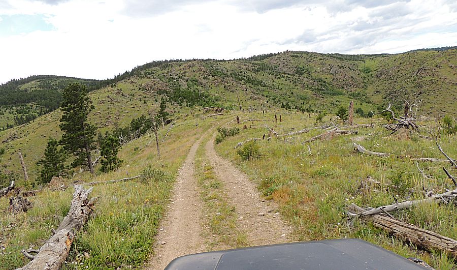
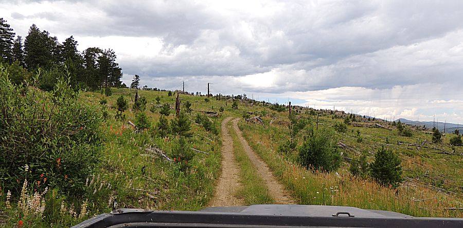
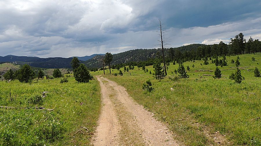
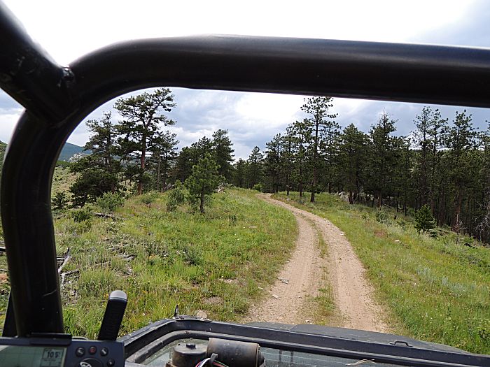
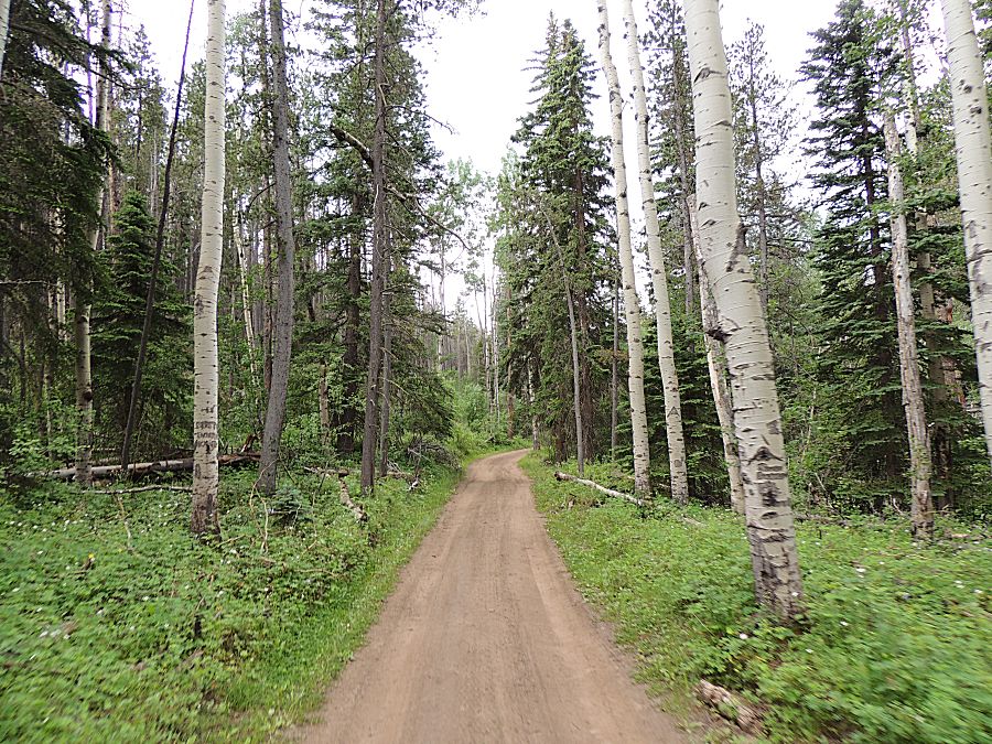
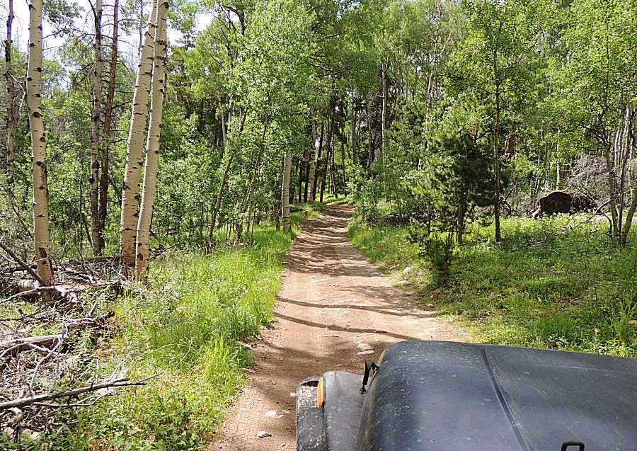
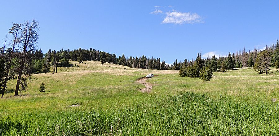
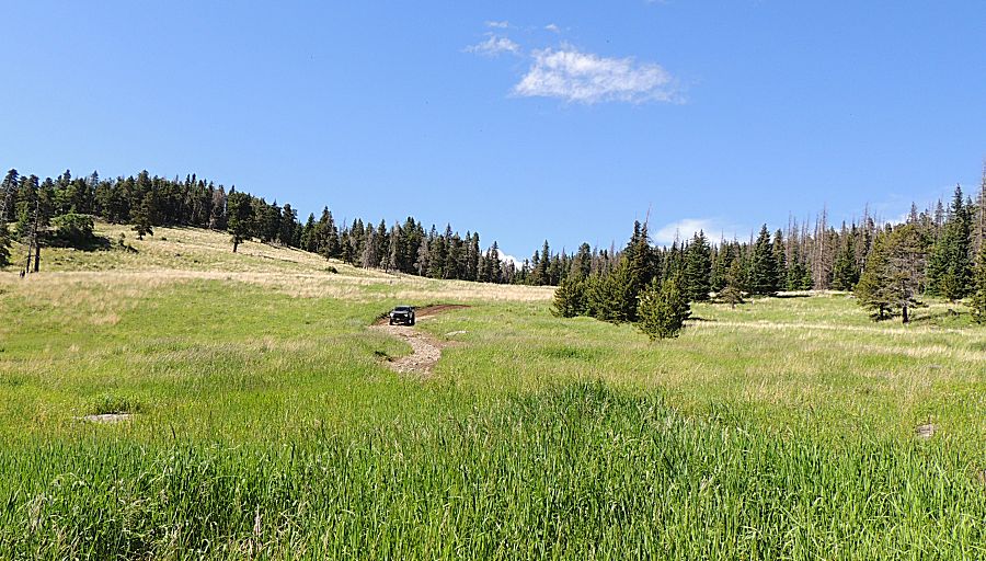
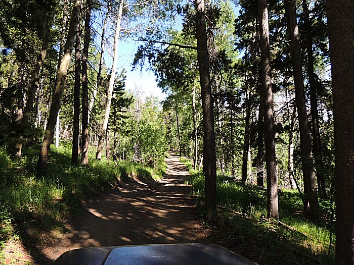
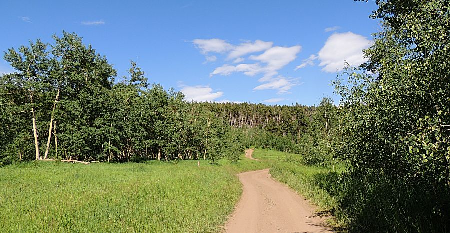
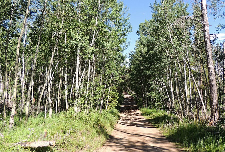
| This
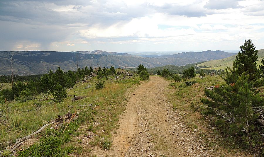
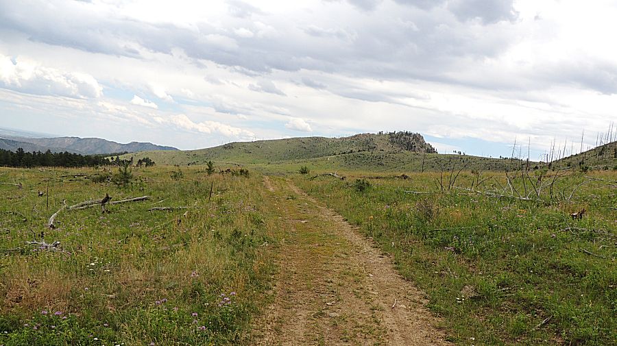
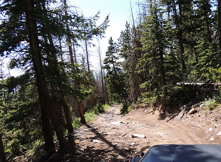
will be the common photo for this trip - a trail winding through either
trees or open field. The trail is generally of the easy to short
sections of moderate. On segment 7, up to Storm Mountain, there is one
section that might be listed as difficult (at least deep moderate). |
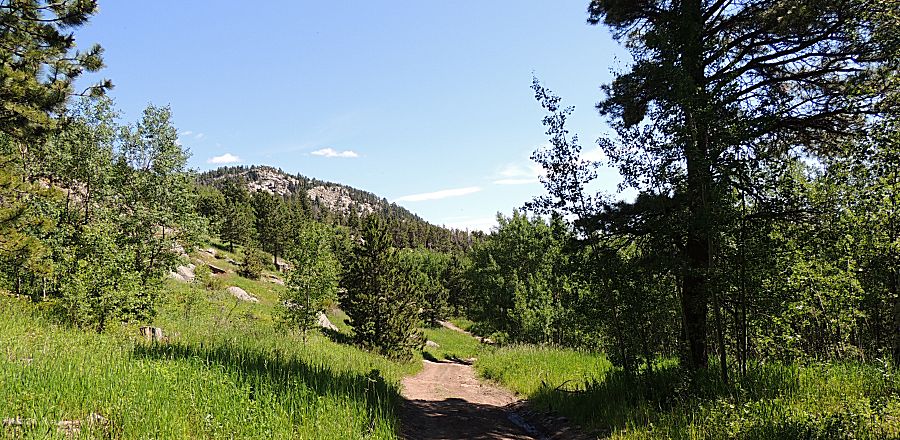
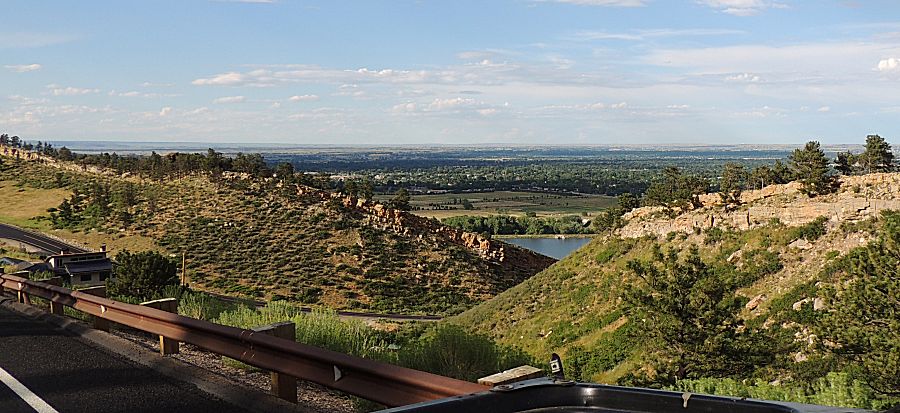
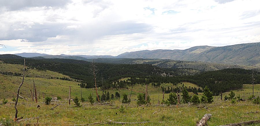
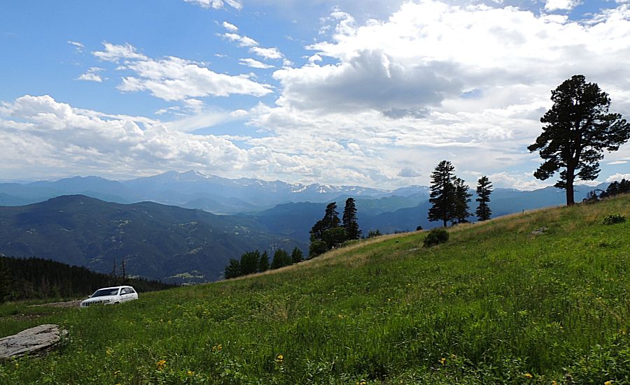
| Views to the plains - to the south east we look over the city of Loveland |
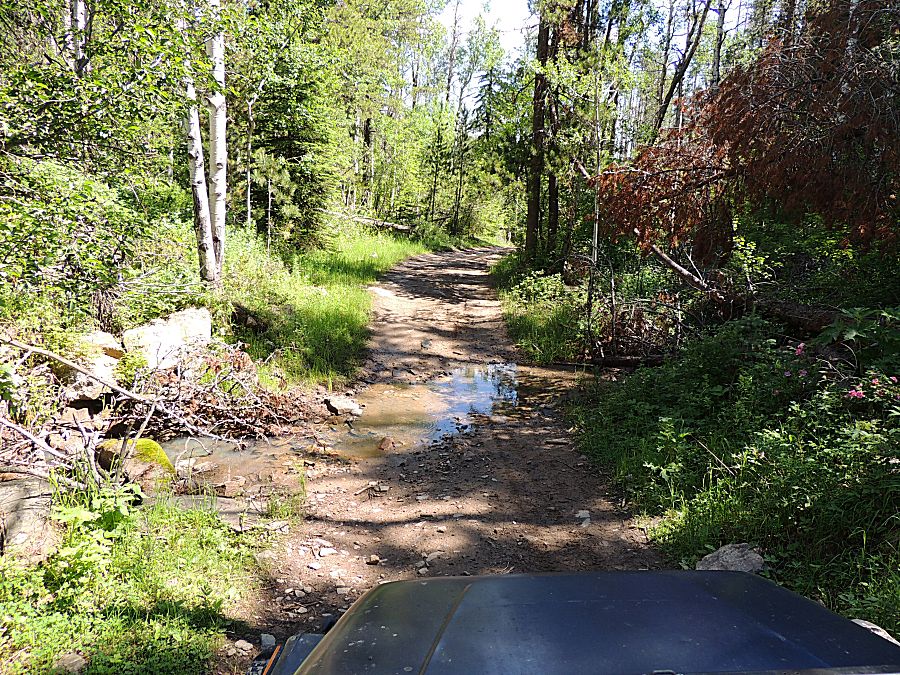
| We'll cross this small stream three times |
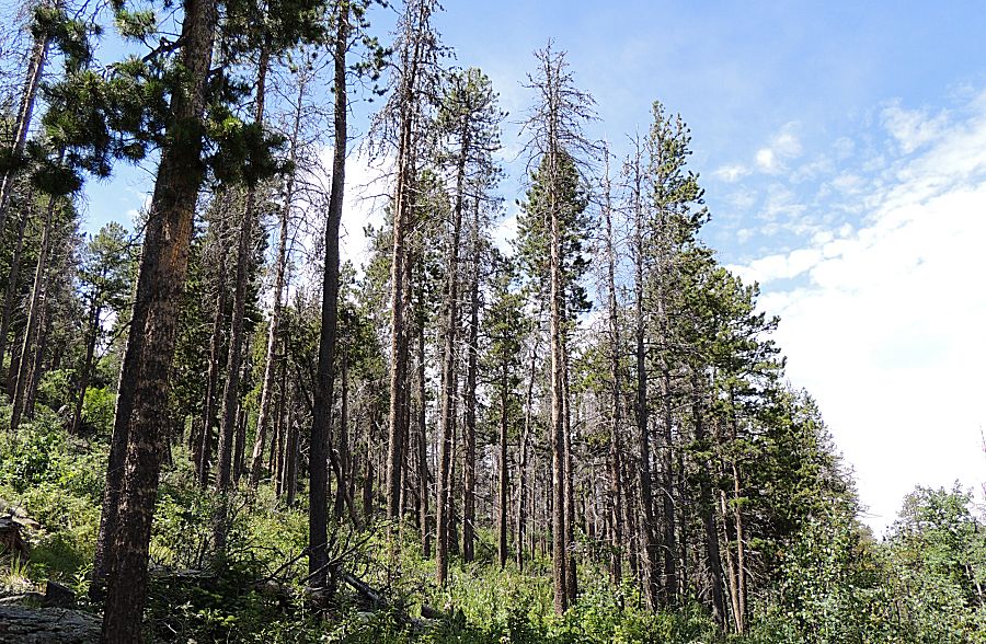
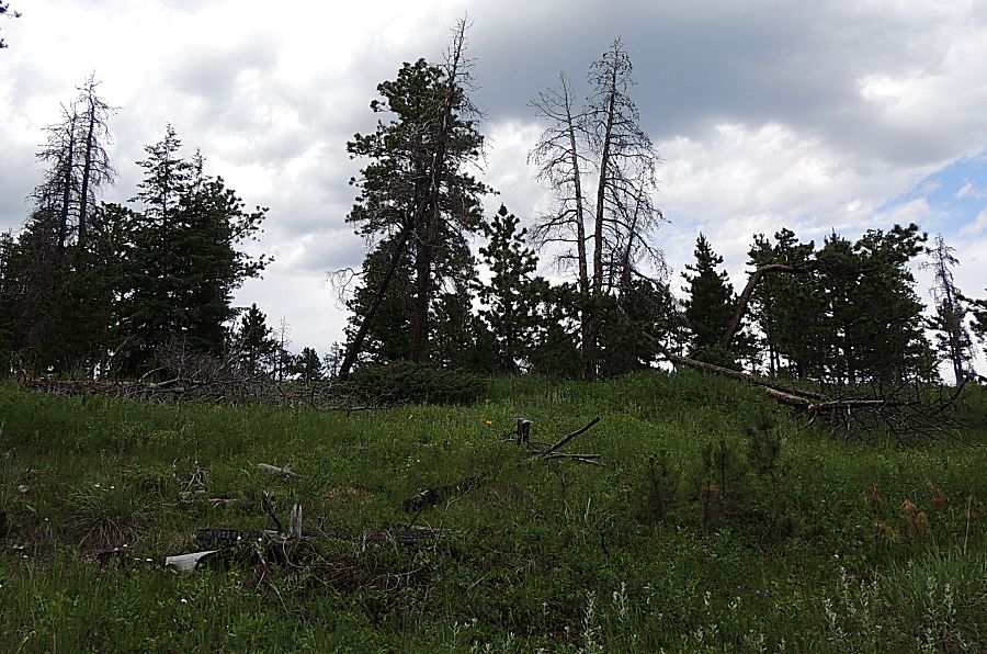
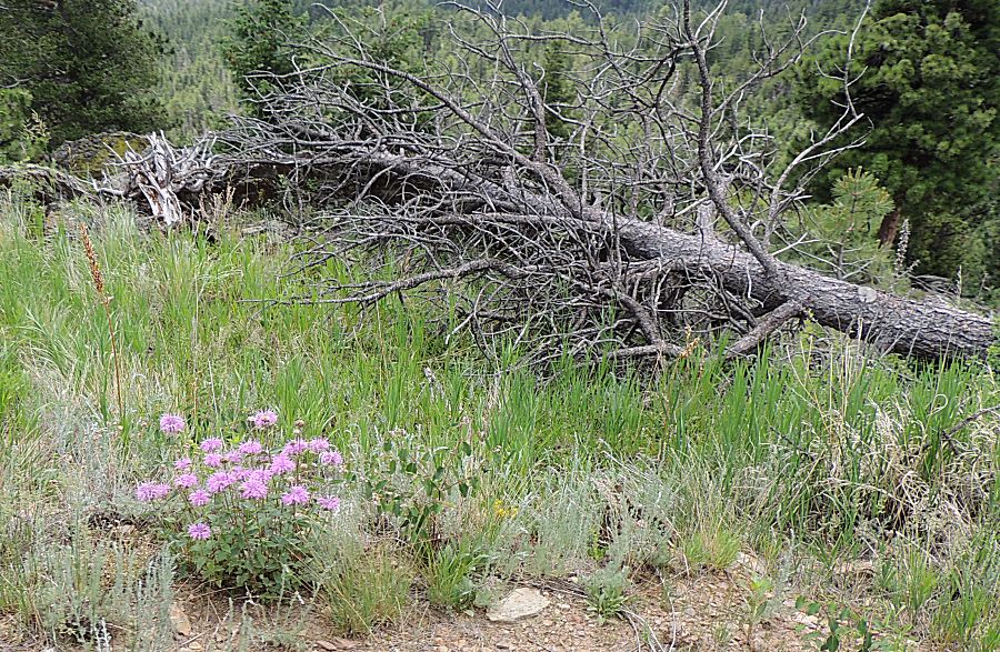
| Some sections of forest have heavy dead - beetle kill perhaps? |
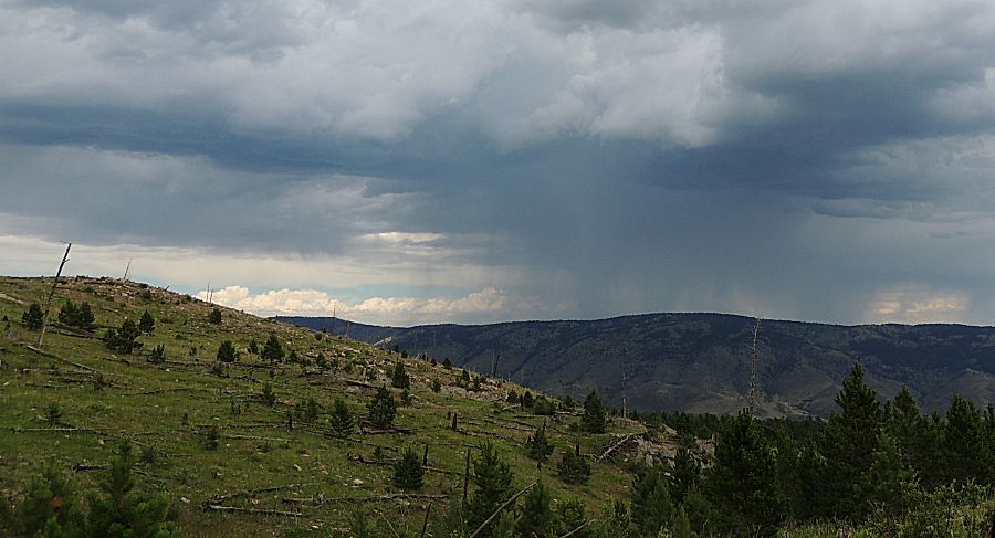
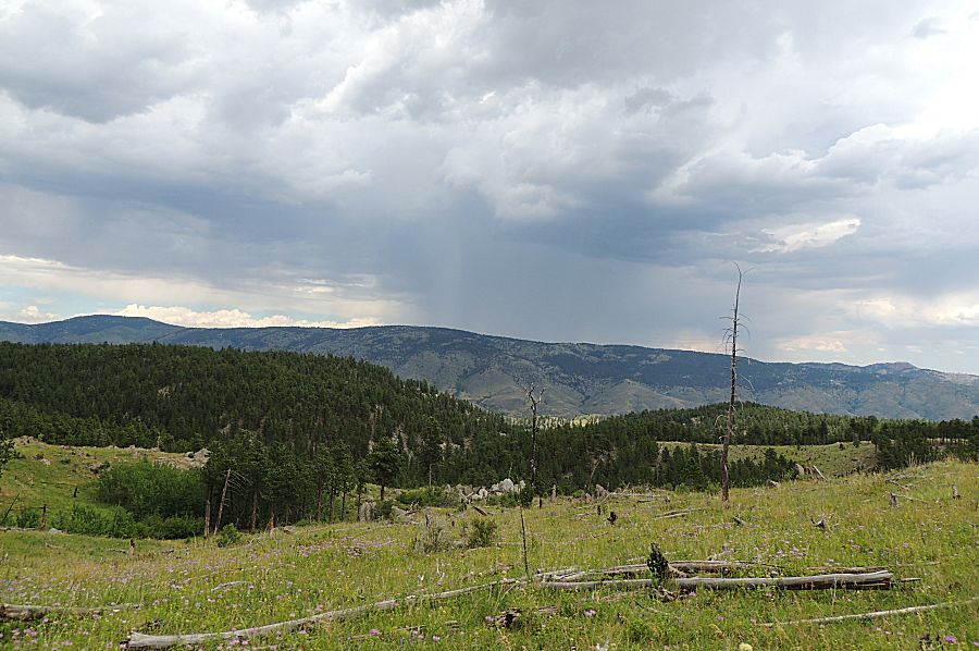
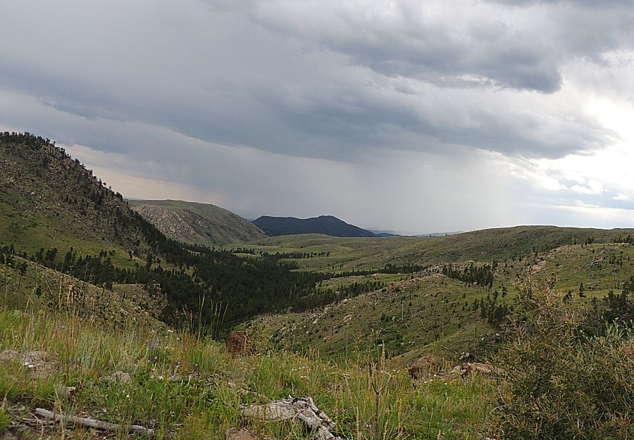
| Clouds growing |
| Our first locked gate at the "T" of sections 2/3/4 |
| Heading northeast on section 3... |
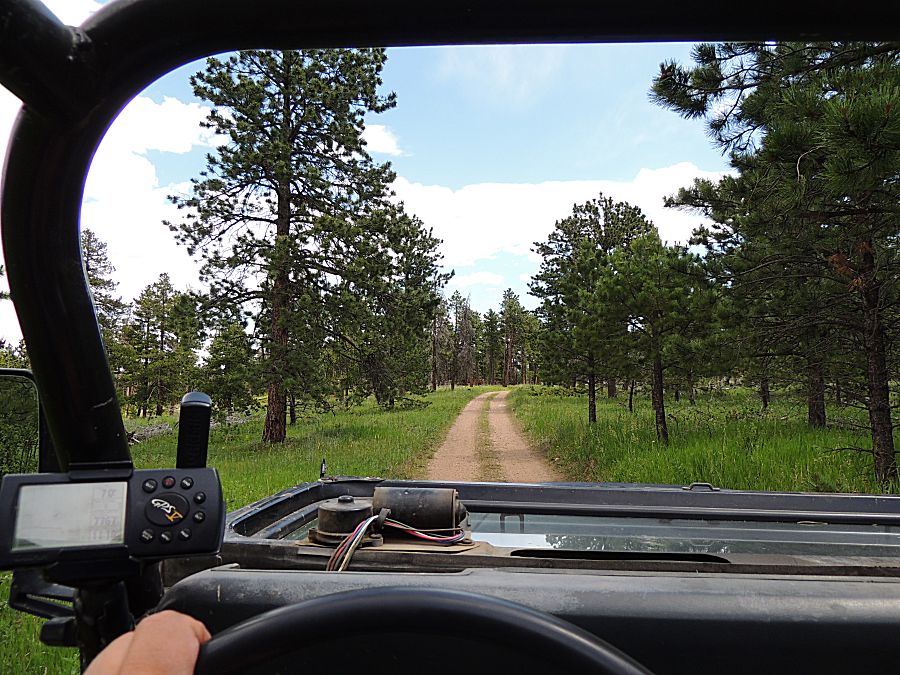
| Heading out on segment 2 |
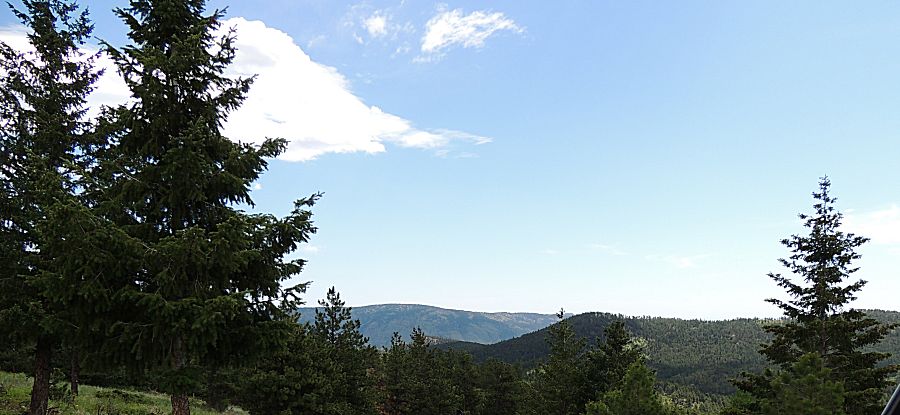
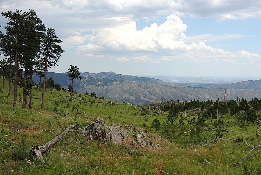
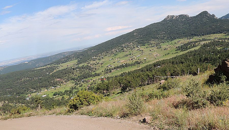
| On segment 5 we start to get views east over Fort Collins and this of the backside of Hosetooth Mountain |
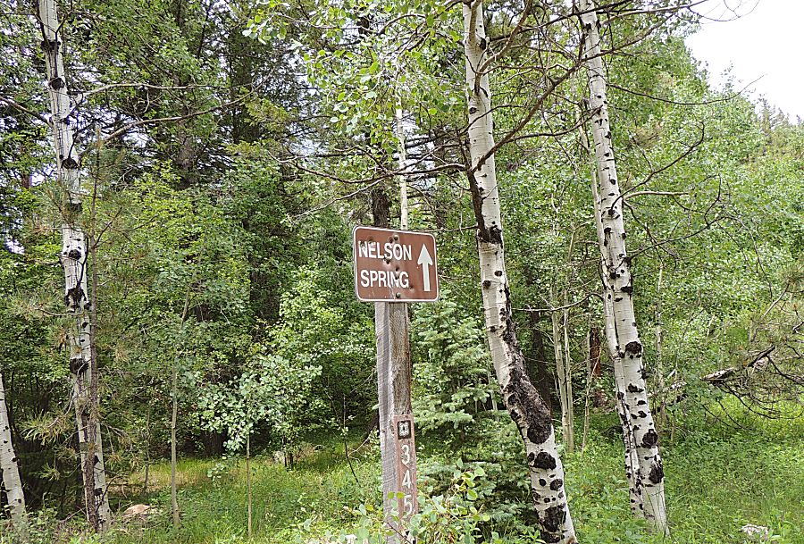
| At the intersection of segments 1,2,5 We never found the Nelson Spring |
| Horsetooth Mountain |
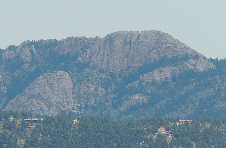
| Some
might question the above photo - Jim has a different camera with more
zoom. Yes. This is the first trip with a used Nikon P510 with 42x zoom
(I have set / restricted to optical zoom only). |
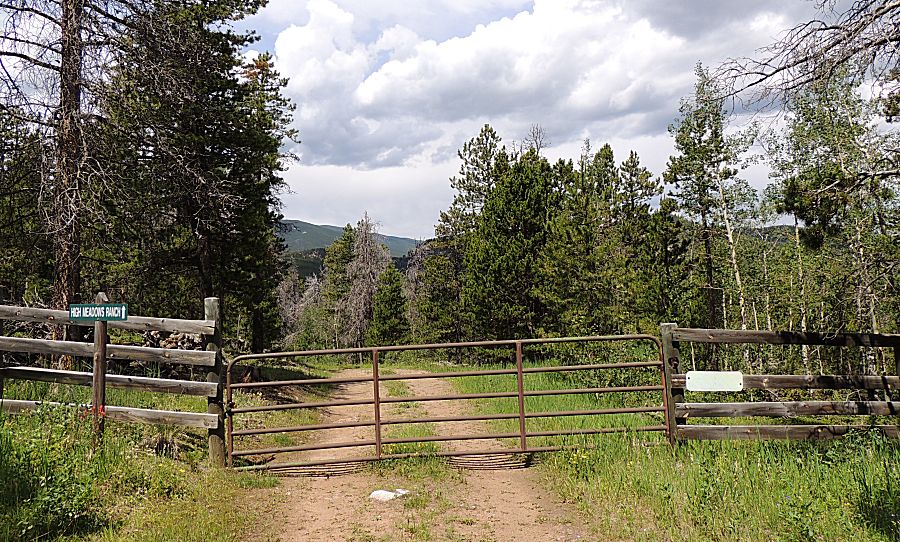
| Continuing on to the eastern gate (which is listed as being open in the fall for the hunting season). |
| Rain to our north - crossing my fingers... |
| I enjoy the little used trails. Though, we did come across two dirt bikes, one side-by-side and one family with a quad and mini-bike on the eastern trails. The main Storm Mountain trail had 2x the traffic. |
| Bob |
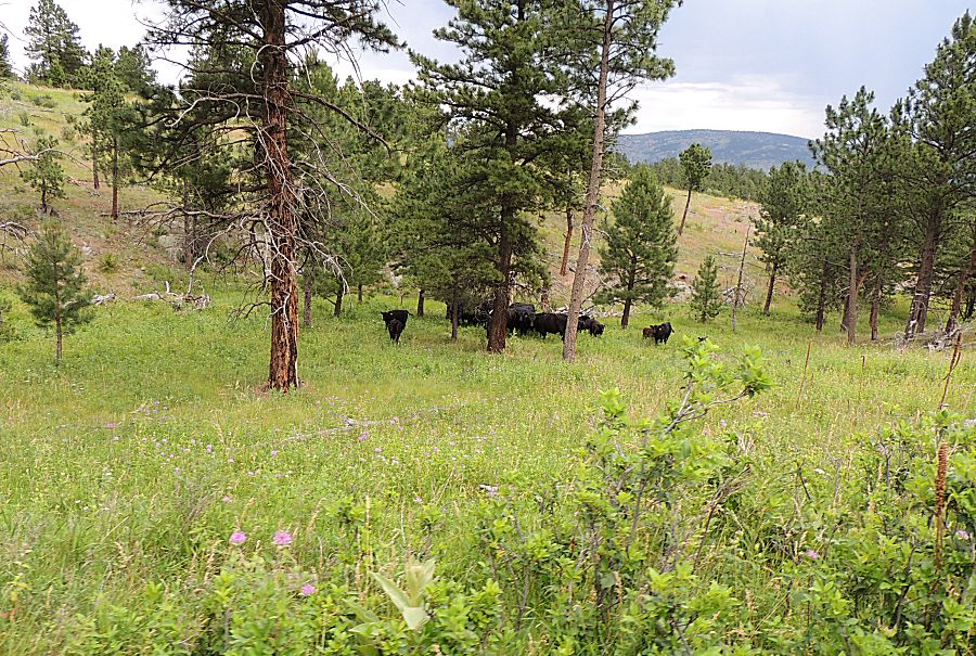
| Cattle that, curiously, were not around when we traveled back through this spot perhaps ten minutes later. |
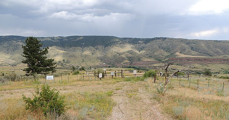
| The
eastern gate. The town of Masonville is off the right side of the photo
with the county asphalt running left-right in the canyon a mile farther
from the gate. |
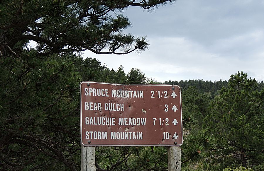
| Turning about is a mileagle sign. |
| Looking south/southeast - more rain - but dry for us! |
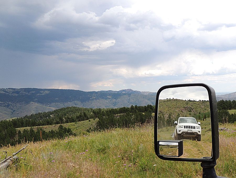
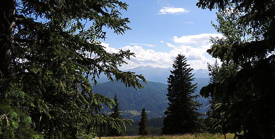
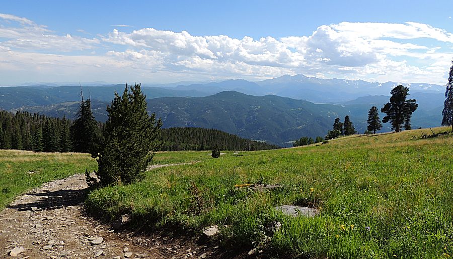
| On
the main Storm Mountain trail - the rain has already moved on and we're
back to blue sky. Longs Peak to the right of Mount Meeker - the
two tall peaks left of center on the horizon. |
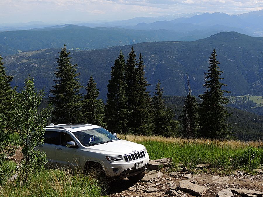
| Up at Storm Mountain - coming down the "difficult" obstacle section. |
| Bob in the un-dented Grand Cherokee |
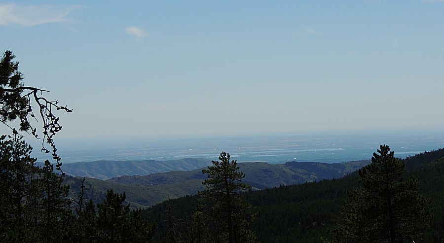
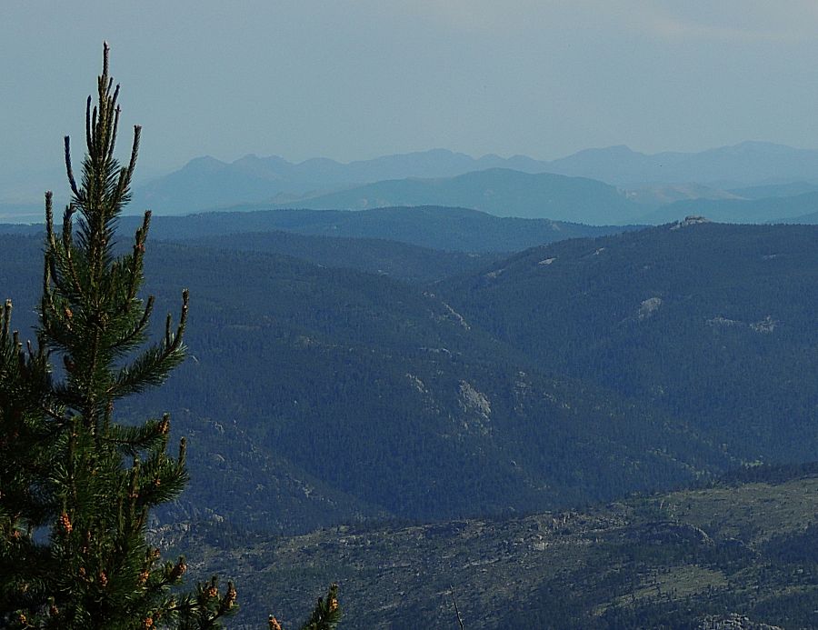
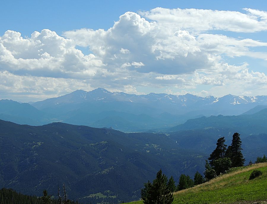
| Not too often do the Rocky Mountains get a "Smoky Mountains" look. |
| Longs Peak |
| Bob |
| Chris |
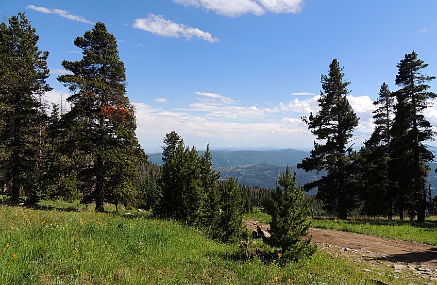
| Nearing the end of trail for the day |
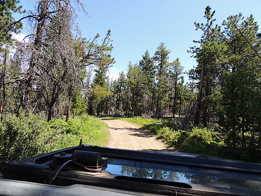
| Working
our way out from the high country housing area down to the lower
housing area - and from there down the narrow canyon to asphalt. |
| Back at Fort Collins |