Mount Sherman with Mark
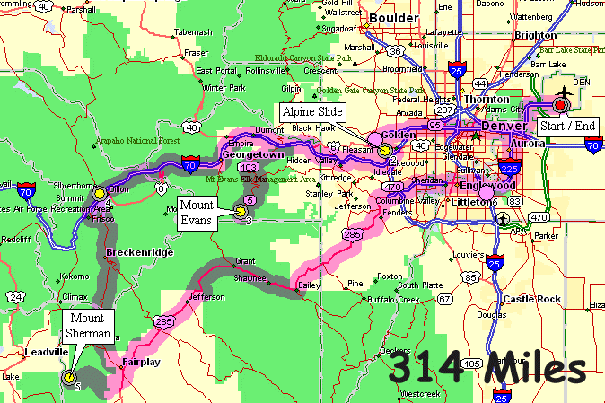
| Meet Mark at the airport, drive to Heritage Square for a couple alpine slide runs, drive to the Mount Evans lot and walk to the top just before sunset, catching some good stars and satellites after sunset. The following morning climb Mount Sherman before returning to the airport. |
| Heritage Square alpine slide |
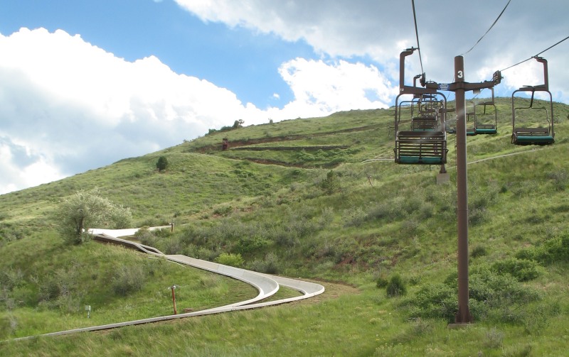
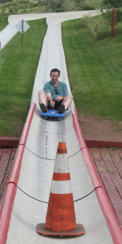
| Some alpine slide below us with Denver sprawling on the plains beyond. |
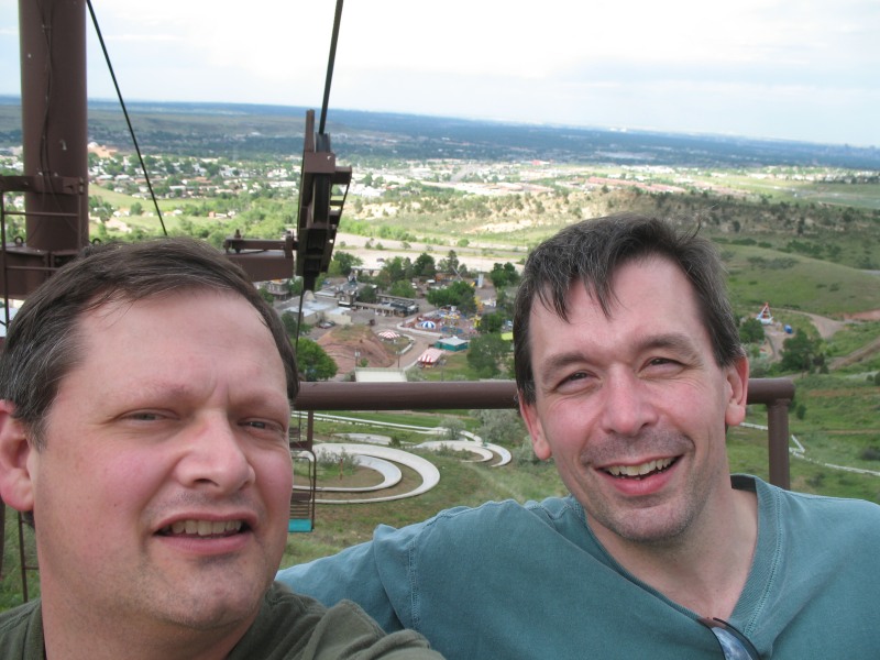
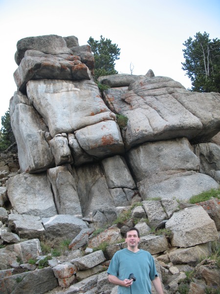
| First time and game for everything |
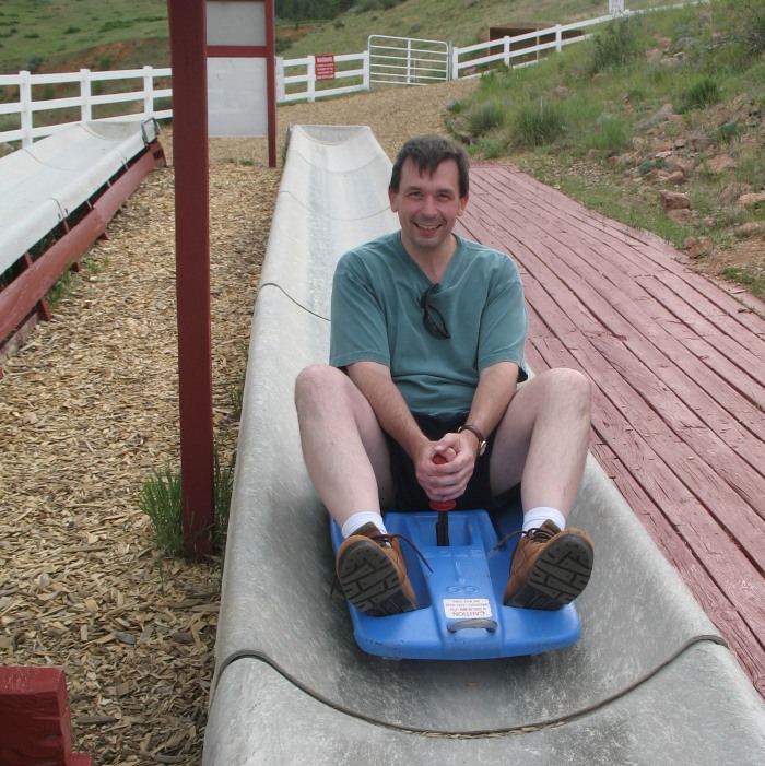
| First run done! |
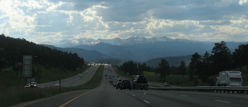
| Popping over a crest on I-70 westbound heading down towards Idaho Springs |
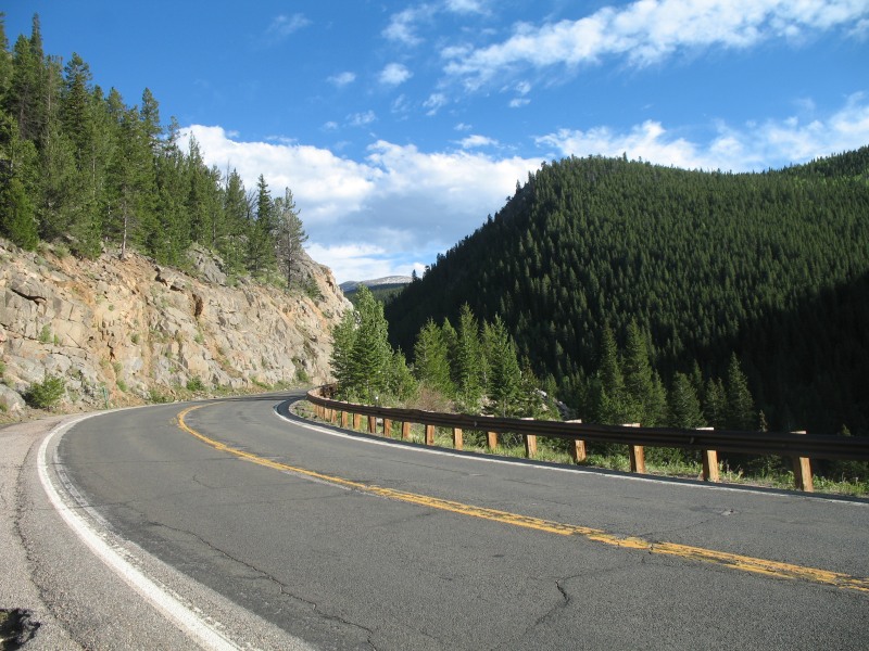
| SR 103 from Idaho Springs towards Mount Evans |
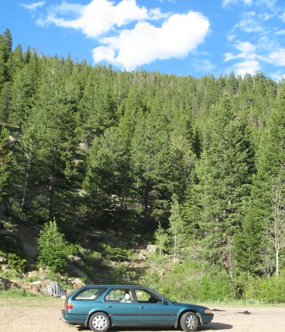
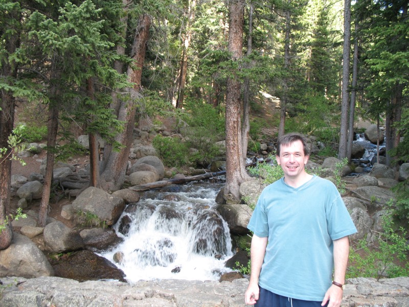
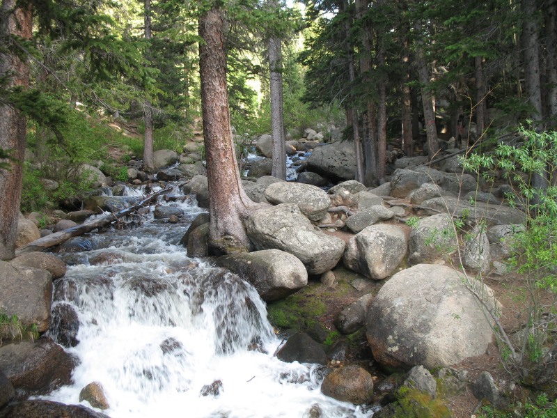
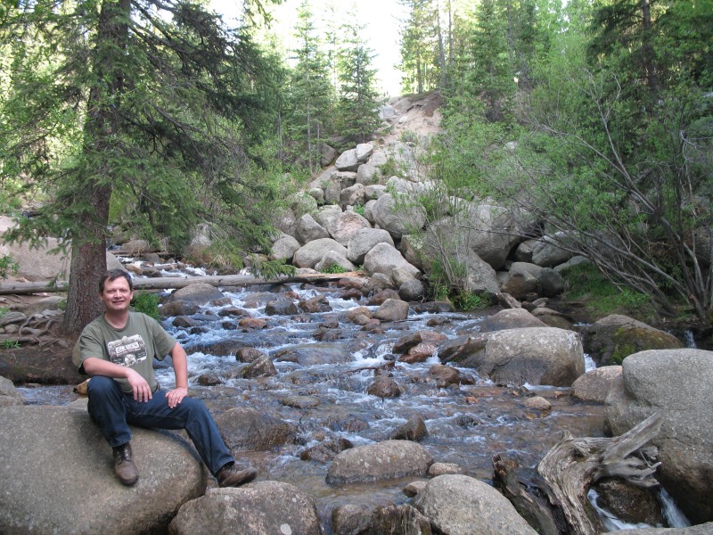
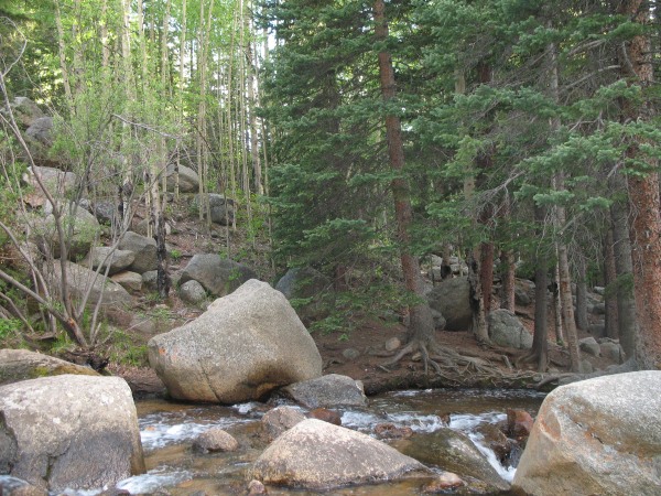
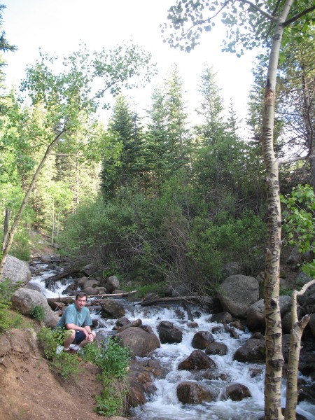
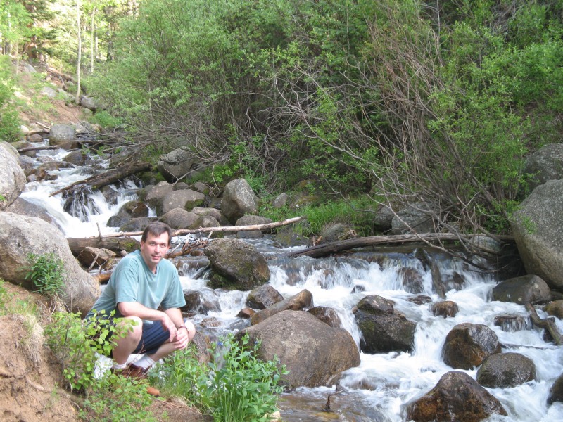
| We saw a nice boulder strewn creek and pulled over. Possibly Chicago Creek. |
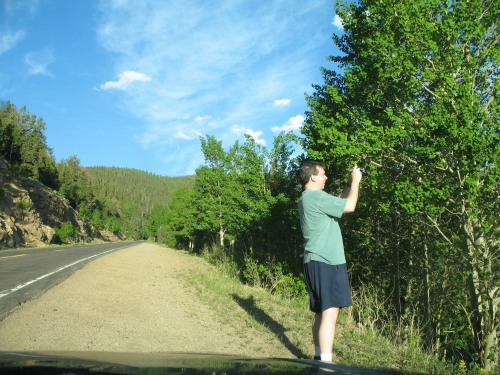
| lots-o-photos to record |
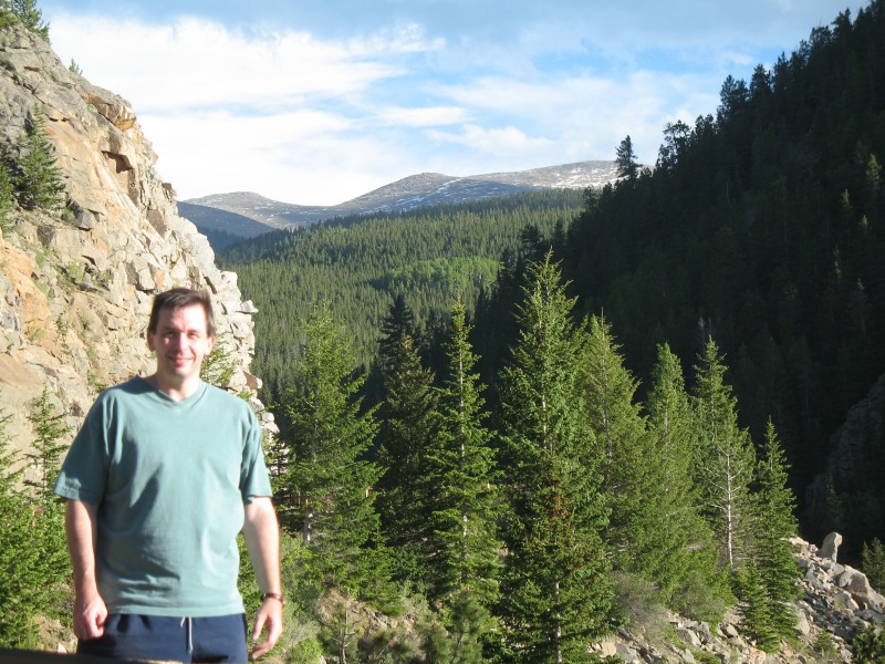
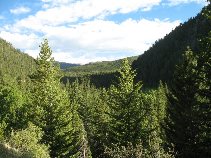
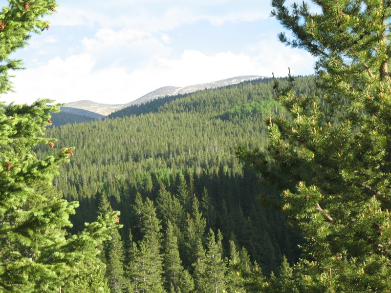
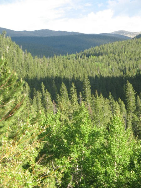
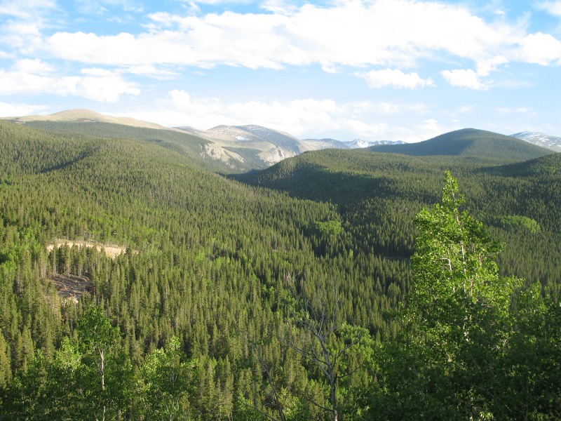
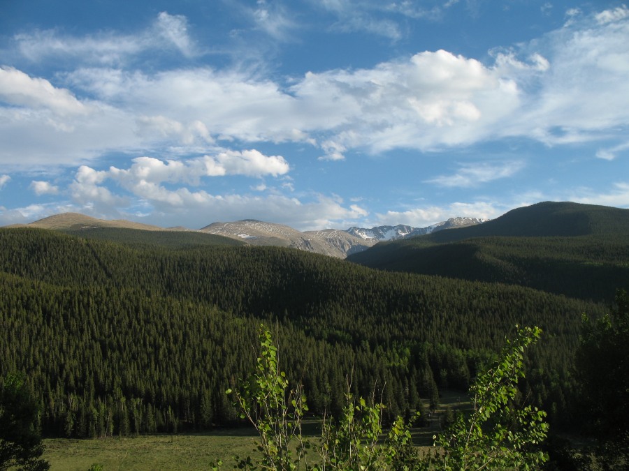
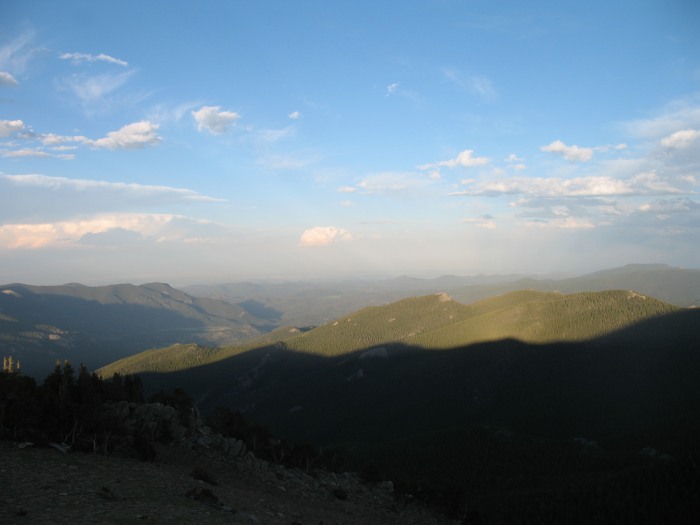
| A nice uniform dark carpet of green pine with snow touched mountains |
| Colorado SR 5 up to Mount Evans |
| Looking east to the plains and Denver in the afternoon light. |
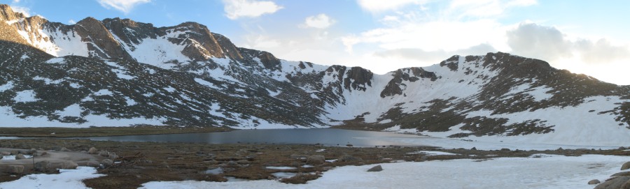
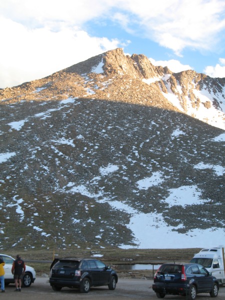
| Panorama Click for a larger version Summit Lake with Mount Evans' peak far left |
| Mount Evans 14,265 feet (4,348 meters) |
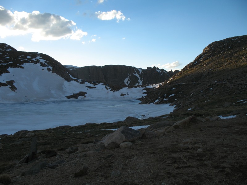
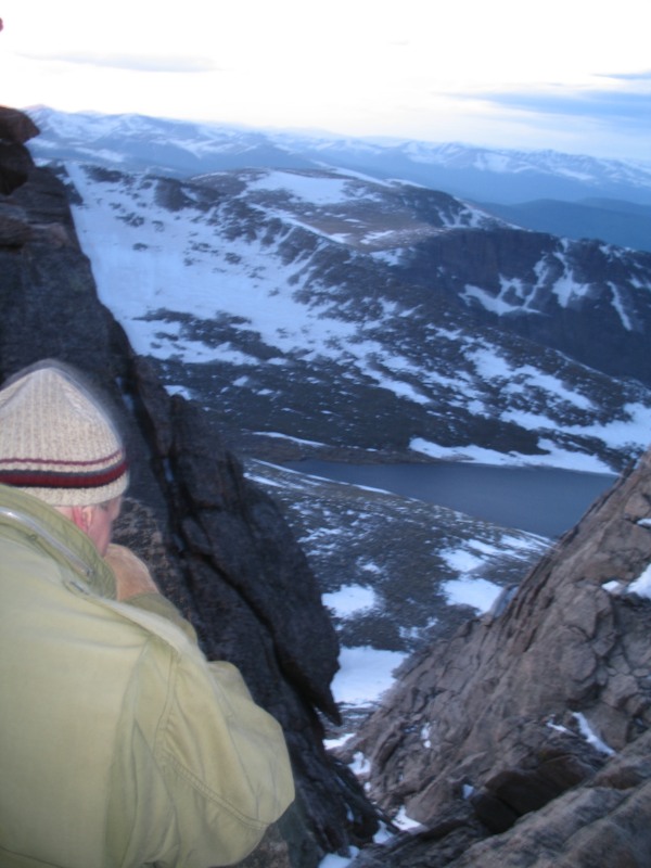
| Up top looking down at Summit Lake |
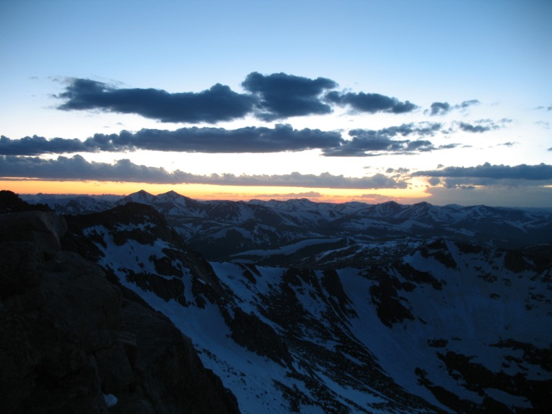
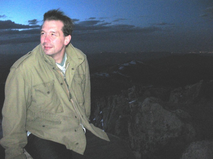
| A nice sunset with 13,000 & 14,000 foot peaks everywhere |
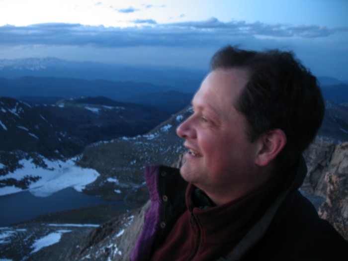
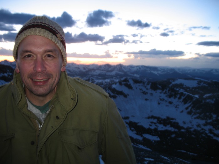
| The highest spot Evans offers |
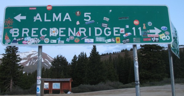
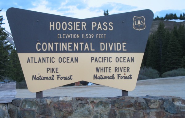
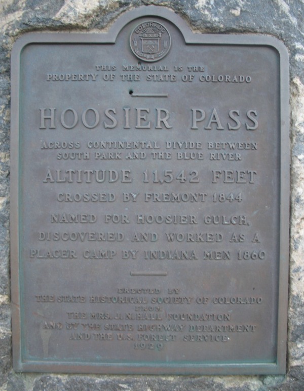
| Day 2 Driving from Silverthorn to Fairplay & Mount Sherman with a stop at Hoosier Pass |
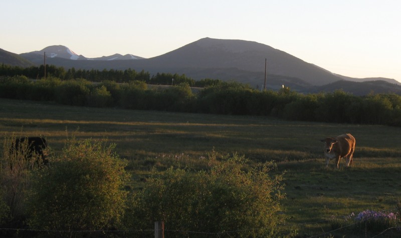
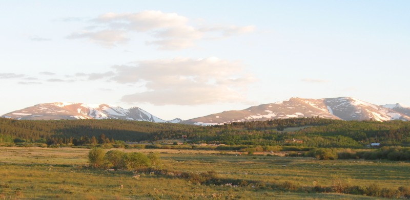
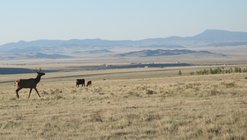
| Sunrise at Fairplay CO |
| At the Mt. Sherman trailhead - 7:30am |
| Trail up |
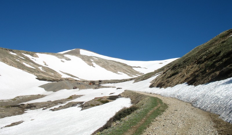
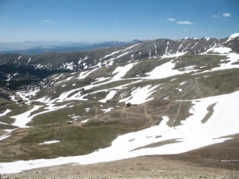
| With a fair bit of the trail snowed in we either deviated to forge a new route or sunk up to knee and thigh deep snow. Three groups ahead of us each chose different routes - it seemed there was no "best choice". |
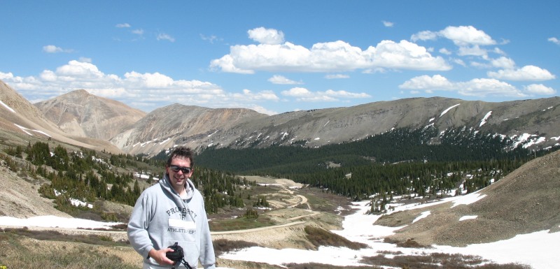
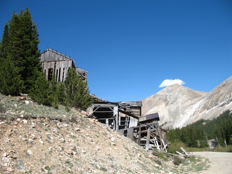
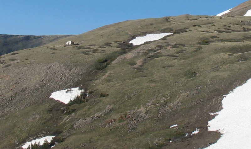
| Mark making way near the Hilltop Mine. |
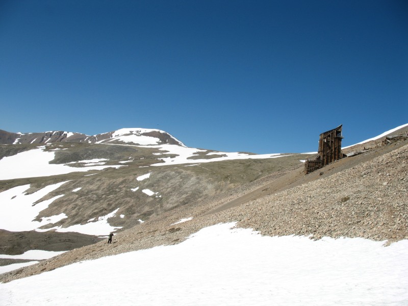
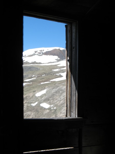
| From an old residence at the Hilltop Mine. |
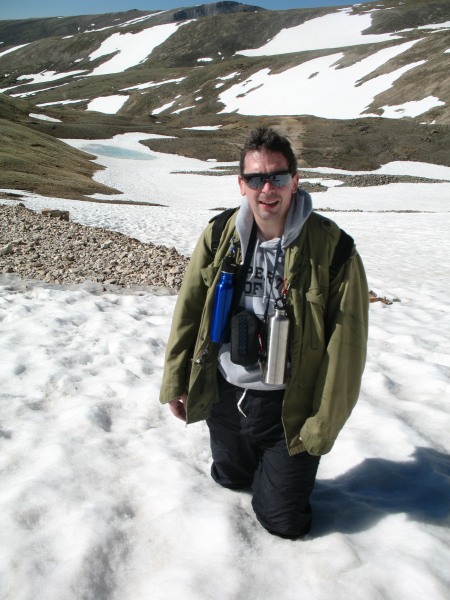
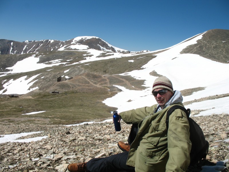
| Breaks - we enjoyed many breaks! |
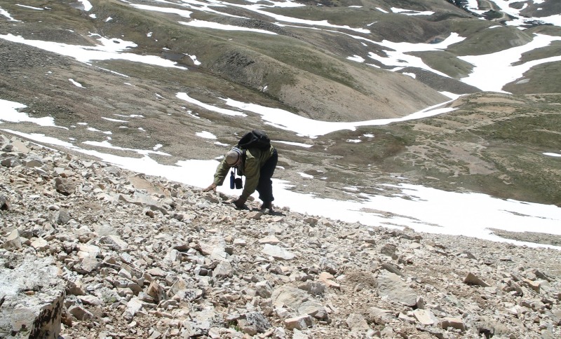
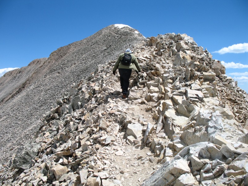
| The scamble up the scree slope was strenuous (two to three steps up with only one step of process as the rocks slide down) - and a bit concerning when looking from top down. |
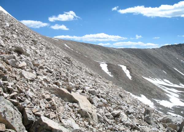
| Representative slope pic - about 34 degrees |
| Up to the ridge walk. The snow cap top center of the picture is not the summit. The summit is over to the left a bit. |
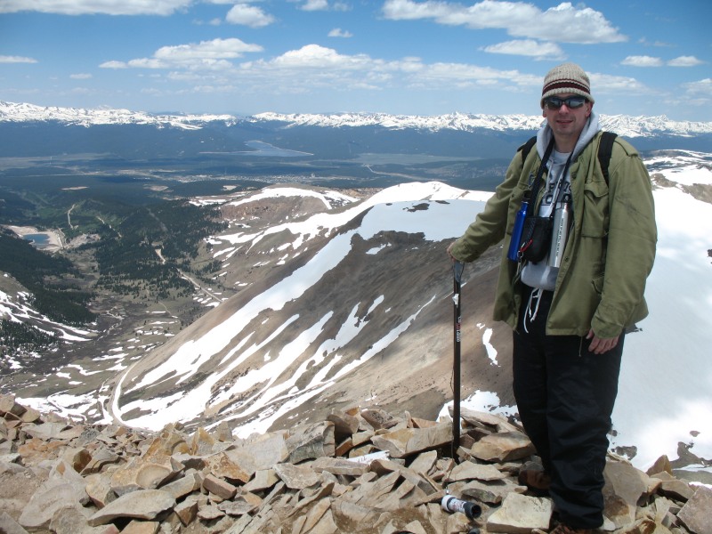
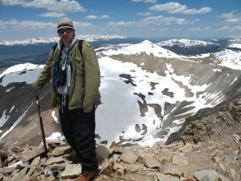
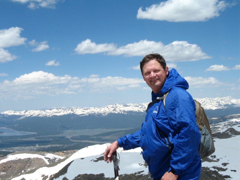
| Mount Sherman summit 14,036 feet (4278 meters) The town of Leadville is in the far valley just before the body of water, Turquoise Lake |
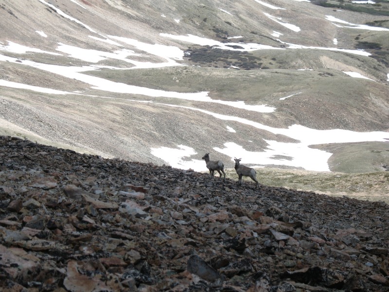
| The only big game on the mountain. There was a surprising amount of insects and spiders running about the rocks though. |
| The first snow slope we glissaded (slid) down. |
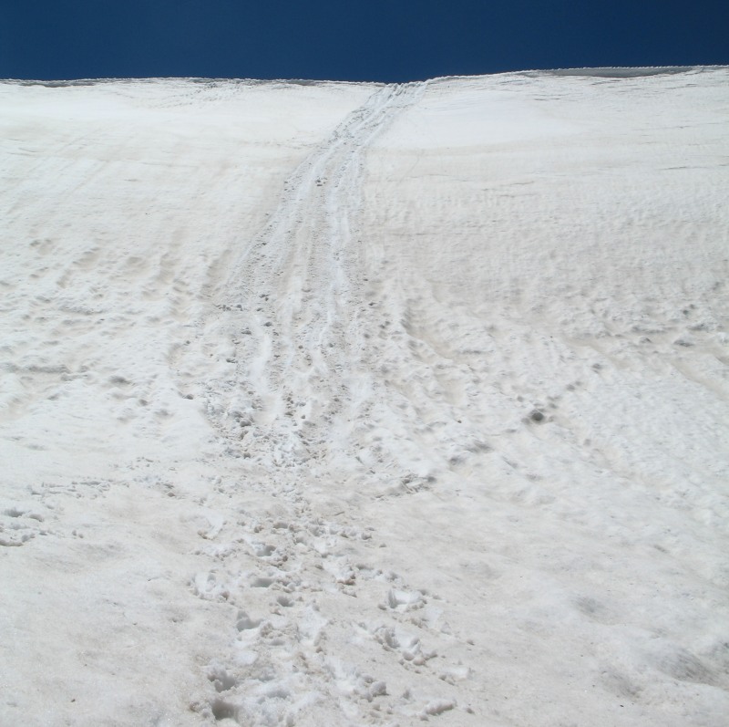
| Video Sliding down the lower snow slope 19MB, 53seconds, WMV format 2011-06-24--mt-sherman-lower-glissade-slope.wmv Back to the car at the trailhead - and well worn out - 3:32pm (we were well slower than most visiting the mountain). It seems four hours is typical. |