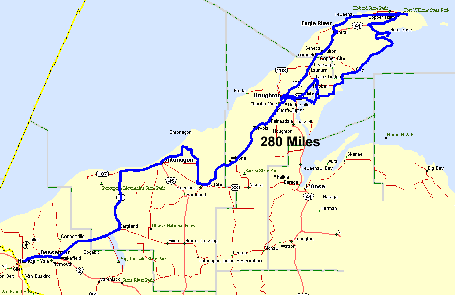
UP of Michigan, Keweenaw Peninsula
Start in the bottom left - Ironwood MI, counter-clockwise loop in the
Keewenaw, stay at the Downtowner Motel in Houghton (well recommended).
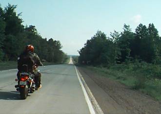
How long is this straight?
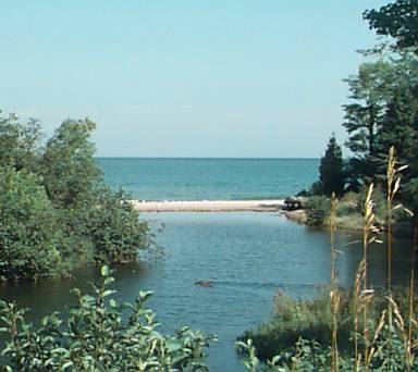
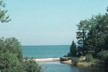
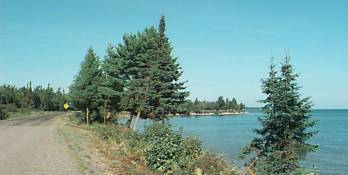
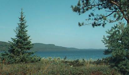
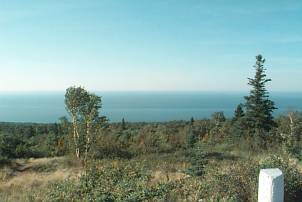
First view of Lake Superior in the UP. Looking West.
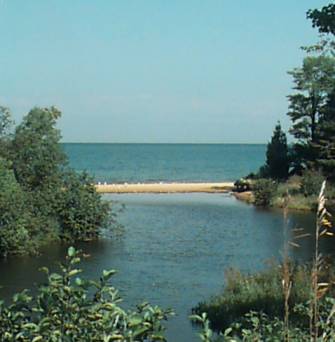
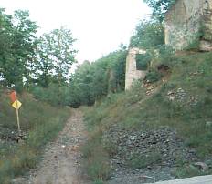
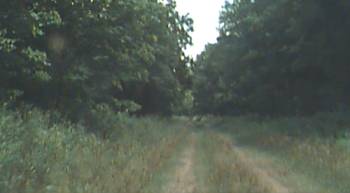
Ontonagon. This picture is for Ken, Luke and I. This river
with tall grasses was a spot we parked our sleds (trail is on the far side
of the creek). Shows us how it looks in the summer. Click
here for some pictures (you will need to scroll down) of the plow train
that came right through here when we were sledding.
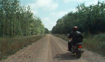
Heading out of Ontonagon, MI
Nice asphalt & scenery
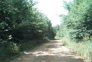
Road turns to gravel . . .
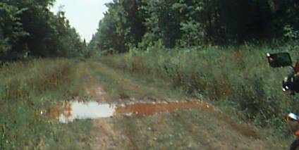
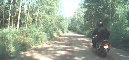
Then it went to a two-track with mud puddles
At this point Ken stopped. I figured he stopped to see how 'bad'
this puddle was. I figured the center would be the highest part and
just kept moving. He followed and on we went. Later he said
the thought of turning back was on his mind but then I charged right on.
If you don't already know it - Ken has a clean bike and reasonably works
to keep it that way. Me on the other hand would prefer to visit the
out of the way places dirty or not (also nice that I have an older bike
that doesn't shine as much - a good match for me).
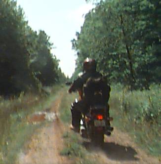
A two-track in the middle of nowhere (Yea, well, with maps we knew population
wasn't too far away). I'm lov'n it!!
The two-track spills out to an 'upgraded' road - back to gravel / dirt.
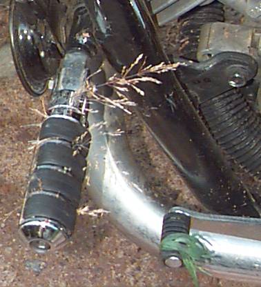
Ken comments on some casualties on his left forward peg & shifter.
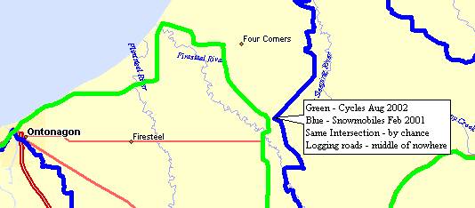
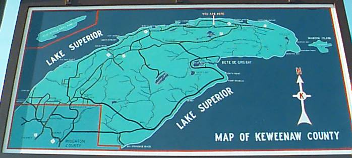
The above picture and this one are at the "intersection" noted on the map
picture below.
The spot we took the above picture was also an intersection we had snowmobiled
on a year earlier. It was just by chance we were even in the area
on this trip.
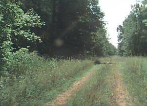
This photo is a distance away from the dirt roads above - this is near
Dreamland - after we stopped there for lunch. Road is marked "Seasonal
Use" as it's not maintained in the winter. Guess Ken's bike is already
dirty - why not.
Somewhere between Dreamland & Point Isabelle
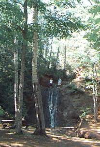
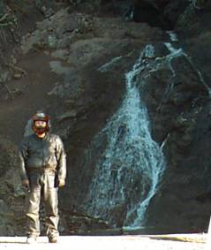
Little Betsy River falls??
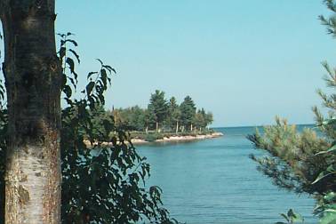
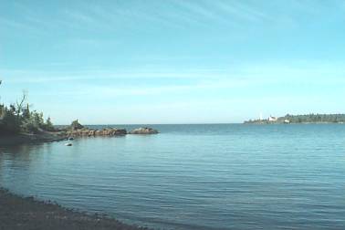
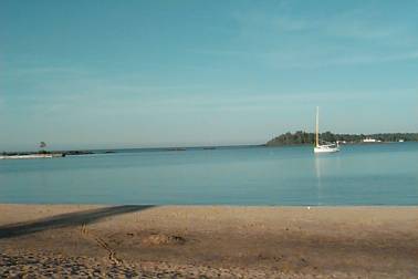
Mendota Light House - just South of Bete Grise
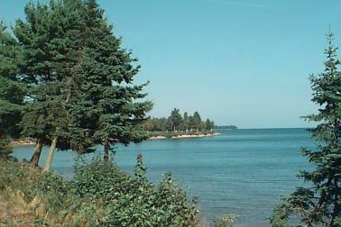
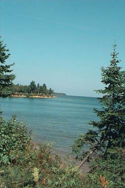
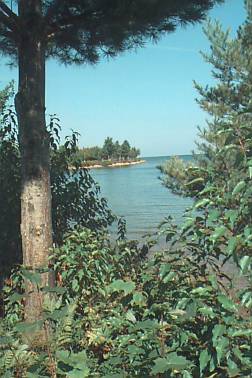
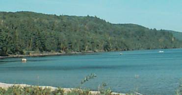
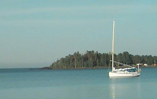
Lake Superior - Bete Grise Bay
Lake Superior - Bete Grise Bay
Canoeists on a trip
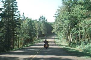
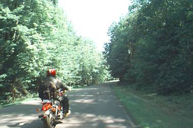
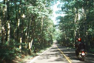
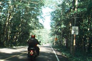
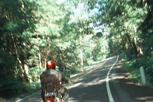
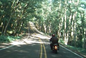
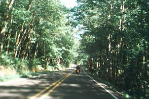
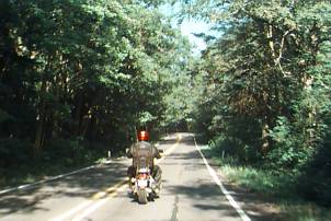
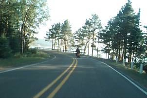
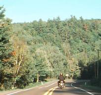
US-41 from Lac La Belle Road to Lake Medora
Wonderful - curvy, rollercoaster, tree covered tunnel
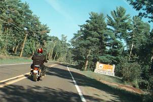
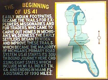
The Beginning of US-41
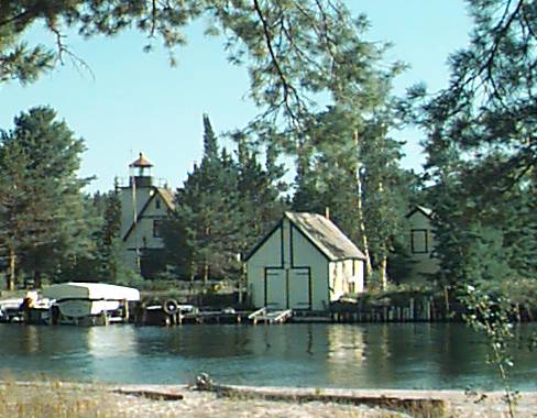
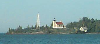
Copper Harbor Lighthouse
Copper Harbor
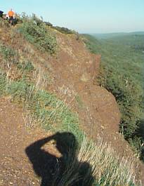
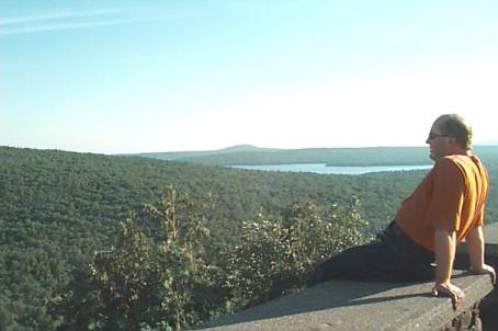
Brockway Mountain (road)
Looking East (click picture for larger size)
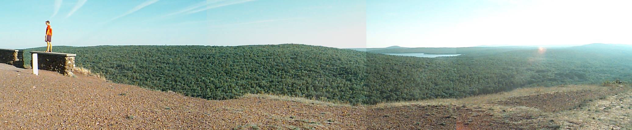
Looking West
The bikes - Ken's on left
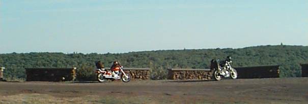
Ken drinking it in
Eagle Harbor
Jacobs Creek falls (N/E of Eagle River)
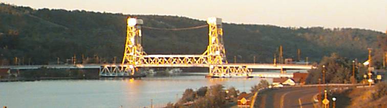
The Bridge - Houghton / Hancock
The lift portion is one level lifted
One of the sled trails - West of Houghton - where the trail is running
on an old R.R. bed but the R.R. bridge was removed so the trail must go
down the hill, cross the road, and the go back up the hill.
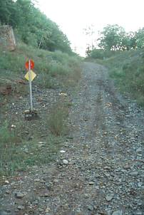
Bridge components still visible