Seattle, WA To Clallum Bay, WA
| First rule of the day - get to the bike - parked on the
street - before 8am (or risk a parking ticket). Done.
Hauled one load of stuff with me (about 1.5 blocks) then drove the bike
back to the hostel (this parking / driving on HILLS is a new
thing). With the bike loaded up it was off to the ferry - I
should be able to get to the 8:45 trip in time. I " read up " a bit on
the ferry etiquette along with some tips from others - and I still
kinda blew it. I couldn't fine the "motorcycle lane" but when I asked I
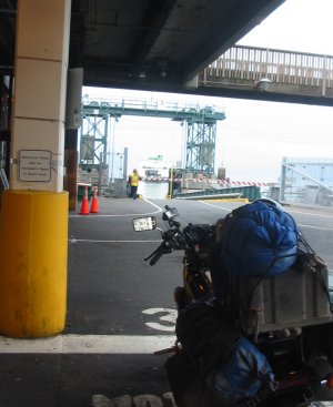
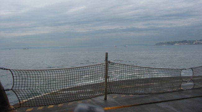
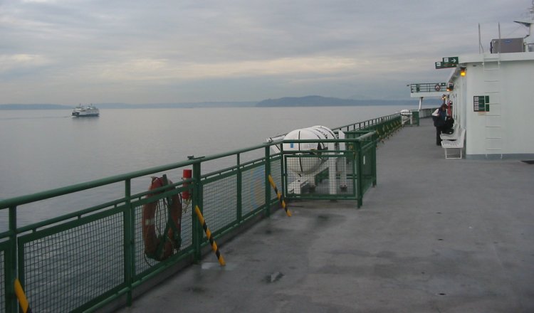
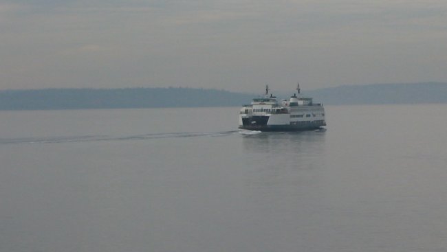
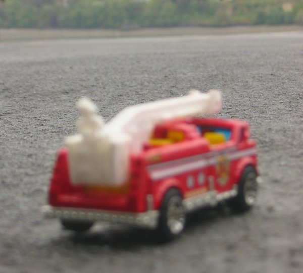
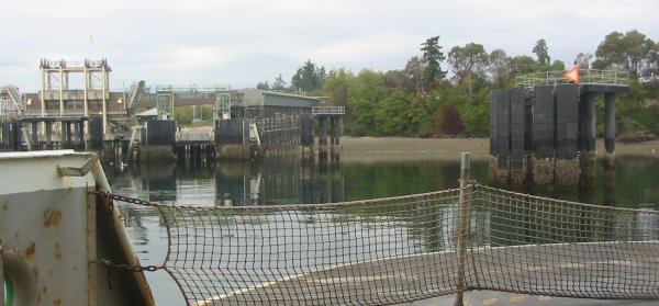
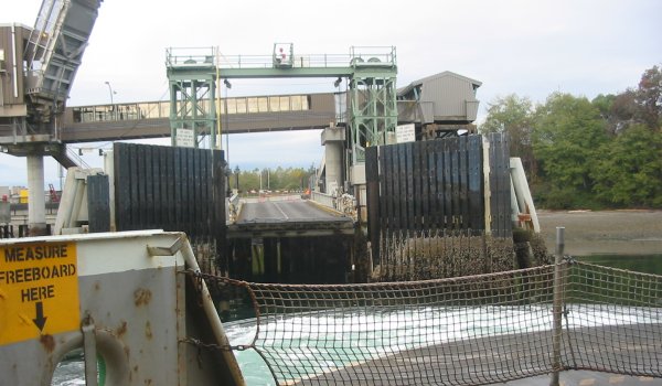
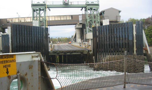
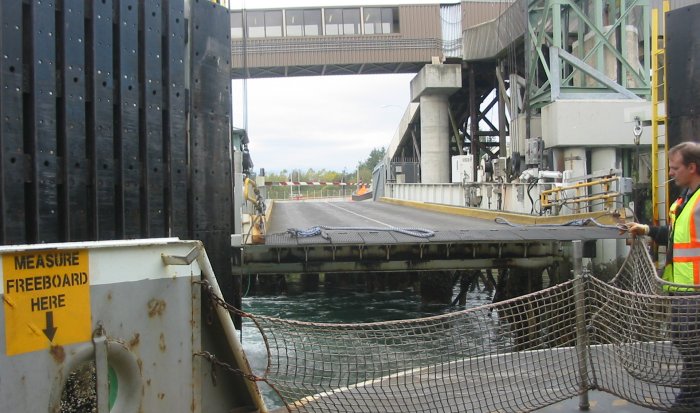
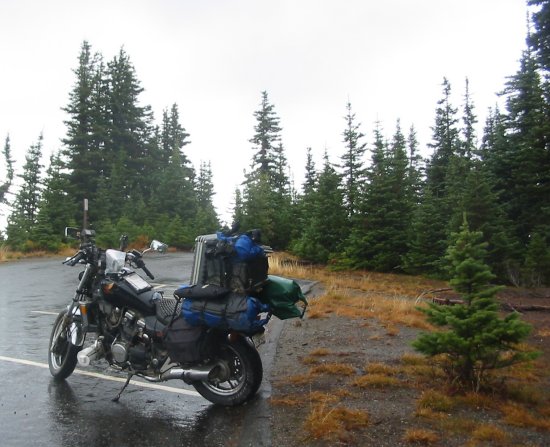
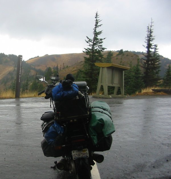
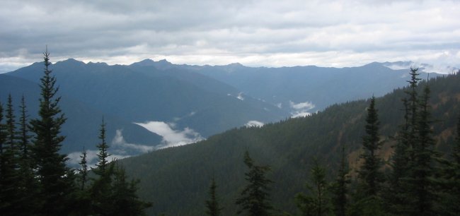
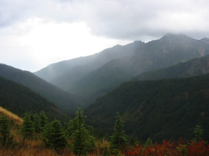
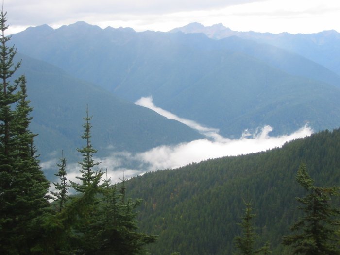
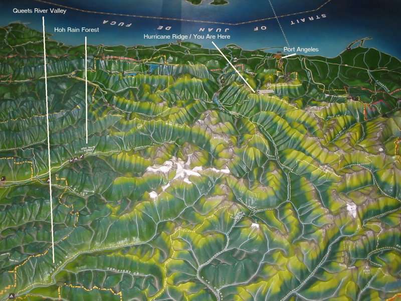
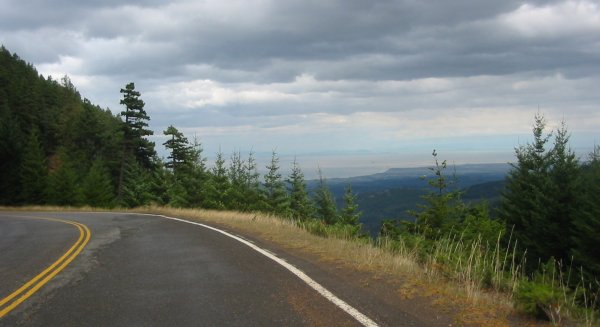
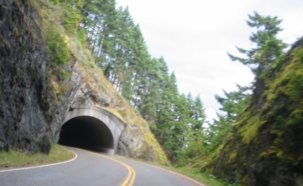
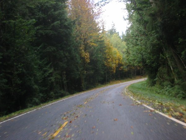
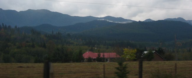
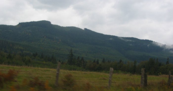
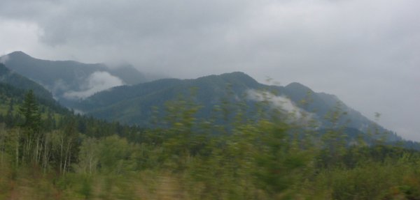
found myself the only bike in the lane. When the arriving ferry unloaded, bicycles were first - then the cycles. Lots of cycles. I even noticed one unusual, three wheeled, molded fiberglass 'car/cycle' hybrid type of thing - seating for one. Soon it would be time to embark - Cycles first... I managed to keep things upright and not hit any fluids on the deck and was directed to a front rope spot. Up on the stand and off I go for some pictures. Pictures dispatched I decided to get a small package of Resees Pieces. Coins into the slot and button pushed the corkscrew dispenser drive started to turn - but then it stopped with the package hanging on the edge. Well - what is the natural reaction at something like that - hit the machine right? Jostle it a bit. I tried just enough to notice that the machines were fastened to the wall - which right then made sense - being on a ferry. Nicely a few seconds later the corkscrew drive turned again - and turned it did. Two packaged dispensed. I wonder - perhaps the "catch bin" of the machine has a weight sensor and it noticed that the proper weight didn't register and it self-served to ensure at least one package hit. Hmmm - either way - I was happy. After munching a few pieces I headed back down to the bike for some pictures. I noticed the GPS (almost always on when it's mounted on the bike) and the speed - 17 MPH (statute). With some time I had some fun with the fire truck taking some pictures. I wonder how much it would cost for a fire truck? They only charged me about $4.50 for the 1/2 hour crossing. As the ferry neared the dock - perhaps 50 feet out - we were still moving perhaps 7 mph until the reverse thrust kicked in. As it did white froth kicked out in front of us and the speed dropped. A nice match between the shrinking distance and the decreasing speed. Back on land two goals exist - ride up Hurricane Ridge and see the sights of Cape Flattery at the Makah Nation. Cape Flattery is the Northwestern most point in the lower 48 (one could argue that it isn't due to it being in another nation). The ride up Hurricane Ridge was a bit muted as the road was wet and often covered with slippery leaves. Nearing the top changing winds kept me alert. At the top, coming back to the visitor center from the end of the road, the winds certainly were whipping over the ridge - I'd say hurricane force. I tried to walk around one of the corners of the building and couldn't until the winds let up. Rain, a heavy drizzle perhaps, was on-and-off for a bit and the second goal was overcast with some rain. The pictures were OK enough and I headed back east. I wanted to get some mini-DV tapes and Port Angeles was the closest spot for some (I should have realized I needed some as I passed by). Back I set - but it was late - just before sunset on a cloudy day. Near Clallum Bay, with a mindset of getting to PA (1.5 hours down the dark, wet road), a voice told me to "stop here" as I passed a nice hotel with restaurant. A shower and fish dinner dispatched I set out to get the daily duties tasked - pictures copied, GPS tracklog downloaded, plan and map layout for the next day. |
Video
Hurricane Ridge - road snippets
hurricane-ridge.mpg
MPG, 19.3 MB, 2 min 27 sec
Video
Wind
wind.mpg
MPG, 1.8 MB, 13 sec
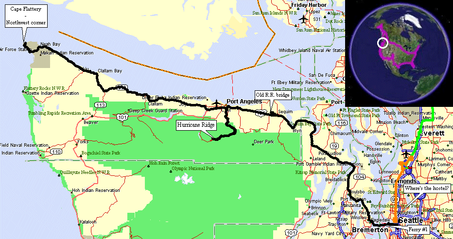
The first - and only - motorcycle waiting to head West.
A bunch of bikes were heading East though.
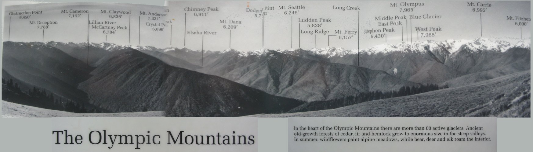
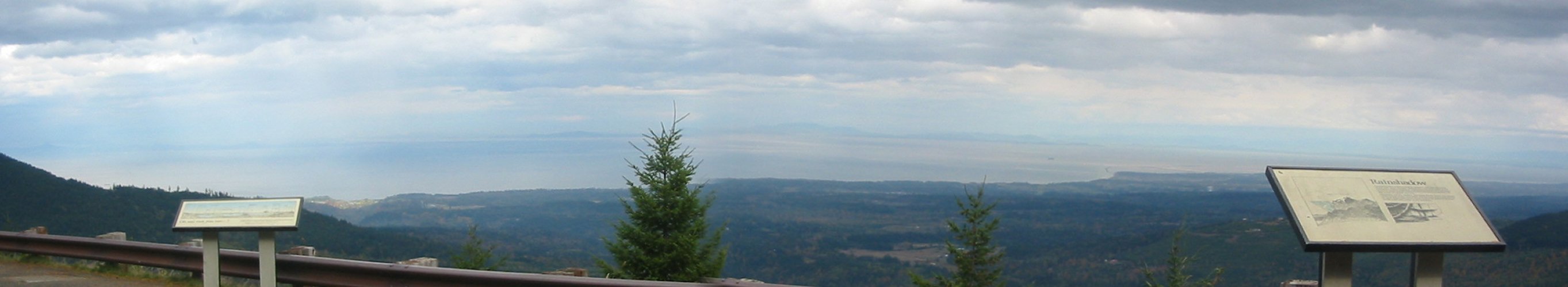
Panorama
Click for a larger image
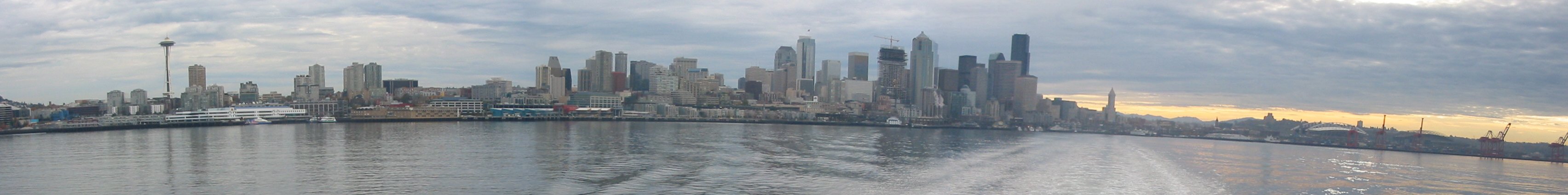

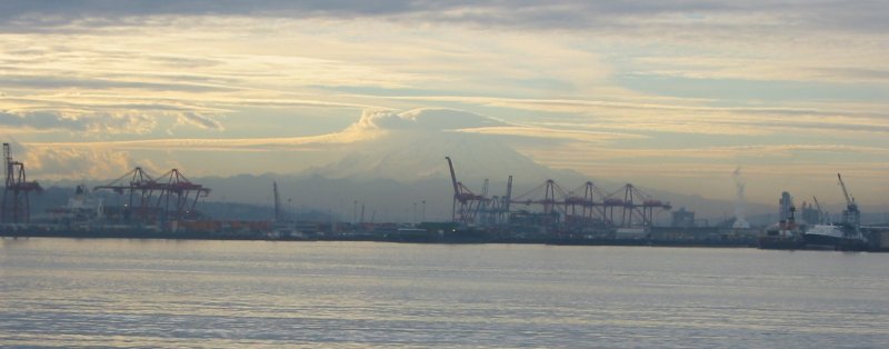
Mt. Rainier
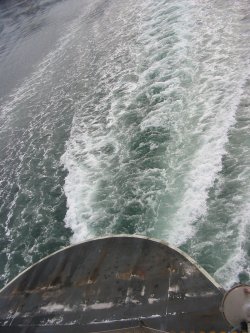
17 mph cutting across the water.

They didn't charge me for the fire truck crossing...
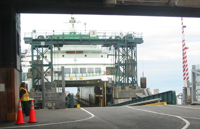
Slowing down for the docking at Bainbridge Island
Reverse thrust activated
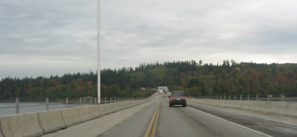
Route 104 / Hood Canal's floating bridge

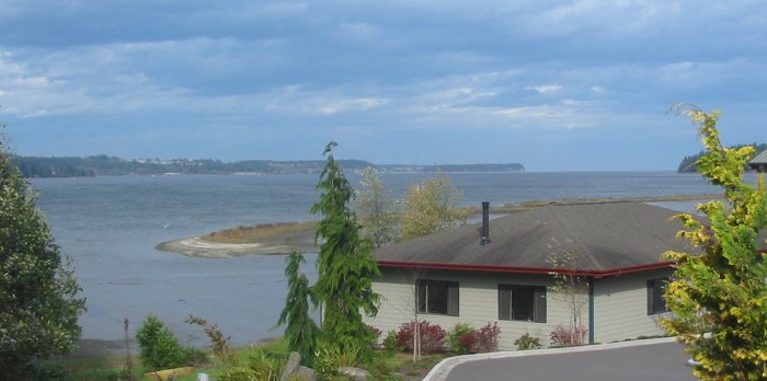
Sequim Bay at Blyn WA (I think)
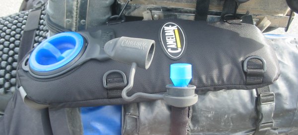
Camelback filled.
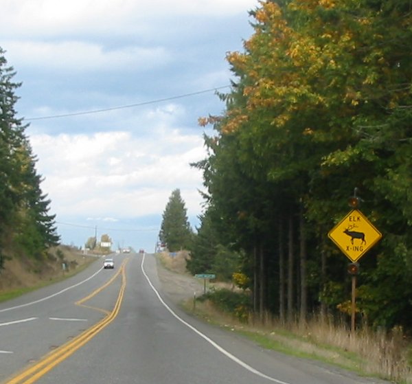
Elk?
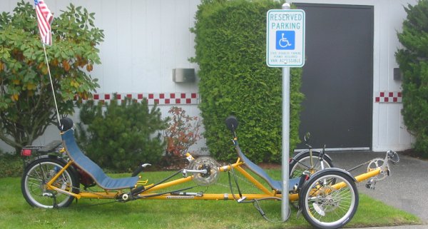
Two seat recumbant bike - disc brakes
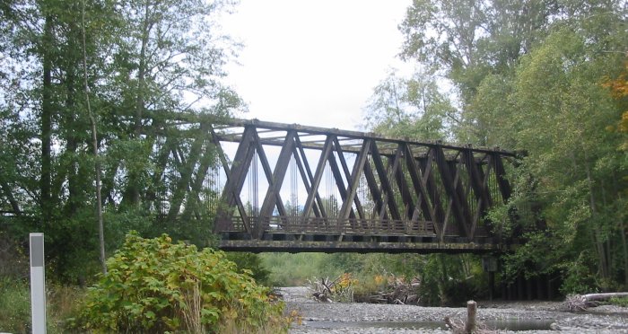
The area had a bunch of rail road tracks - long removed - that were used to haul lumber out of the area.
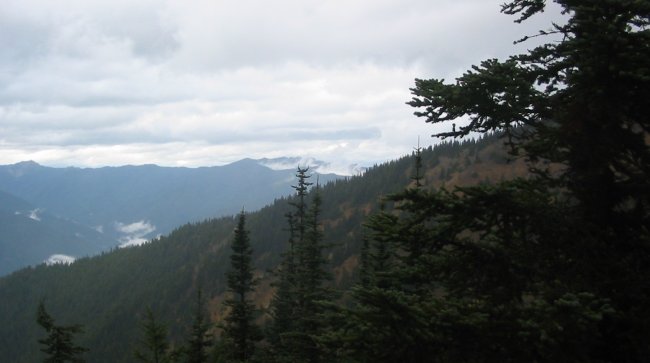
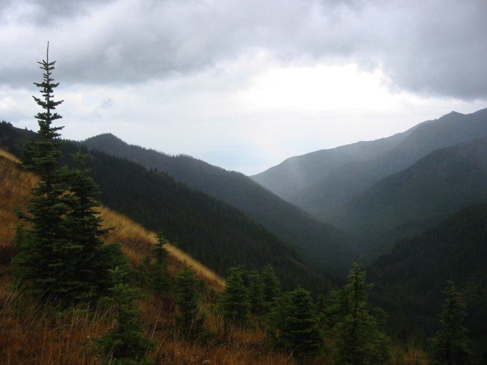
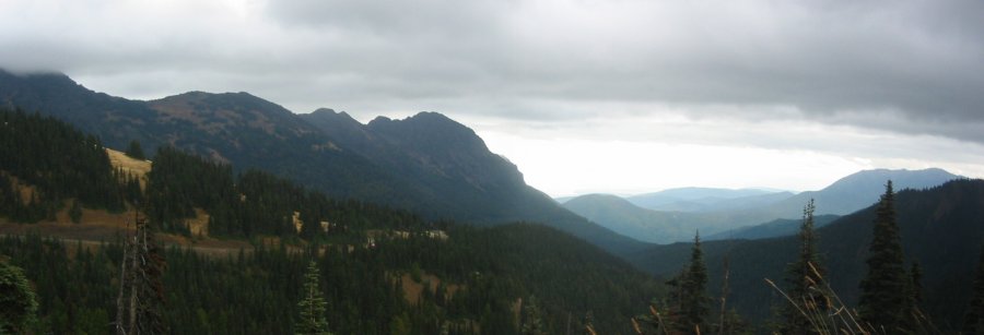
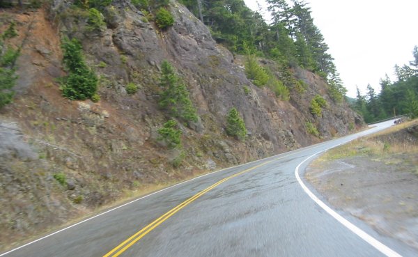
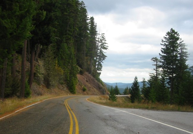
Olympic National Forest - Hurricane Ridge is back there somewhere.
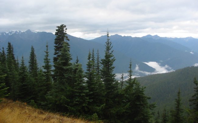
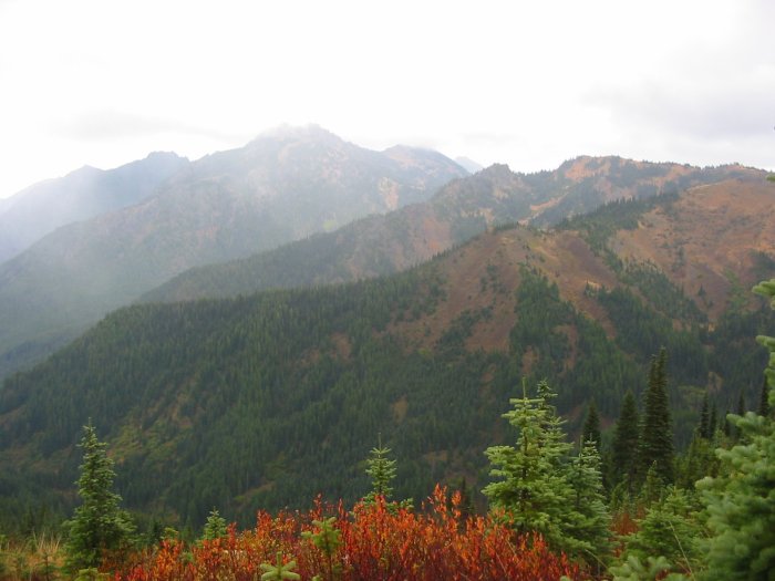
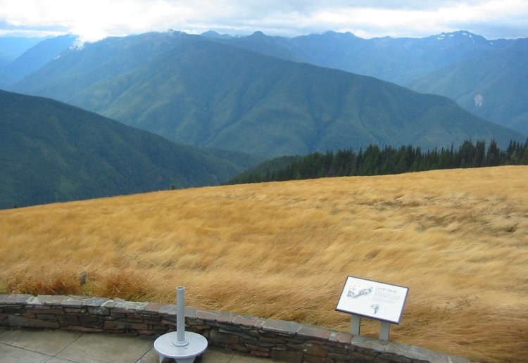
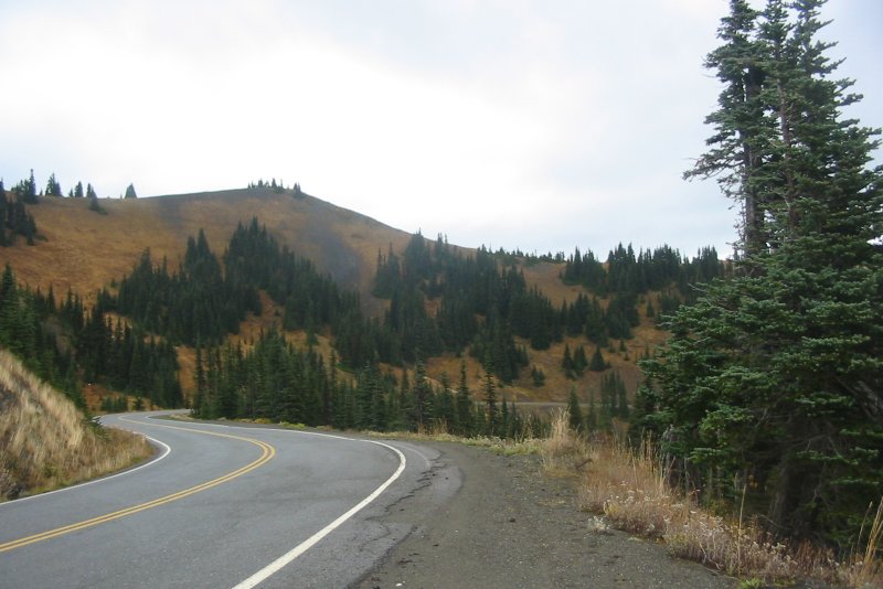
At the far end of the Hurricane Ridge road.
A faint rainbow was visible - too faint for the camera to reproduce.
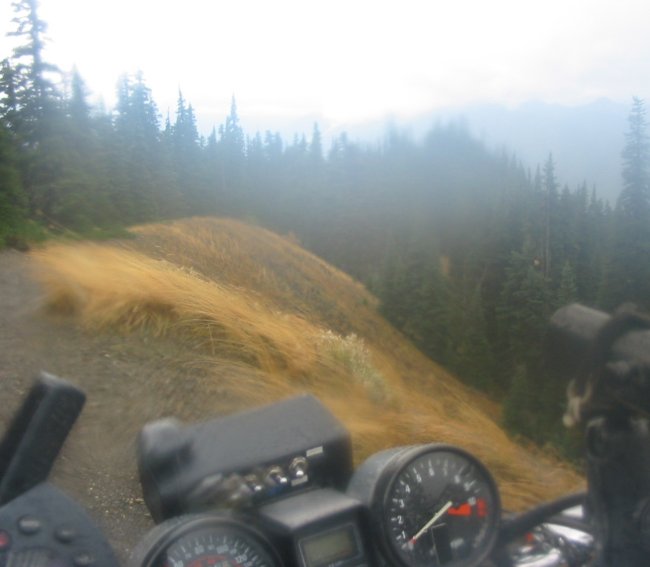
The wind was whipping up this hill - I didn't stay here too long.
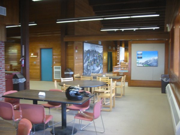
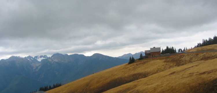
Nice visitors center
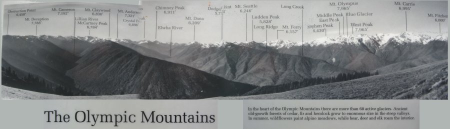
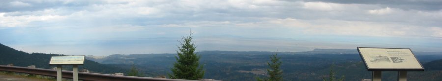
Panorama
Click for a larger image
The visitors center had an outside deck. I was unable to walk around one corner due to the strong wind.
Click for a larger image
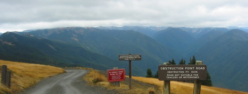
I was somewhat tempted to ride out to Obstruction Point.
Sixteem mile round trip on gravel. Had it been sunny perhaps I would have.
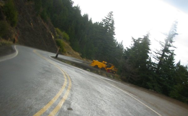
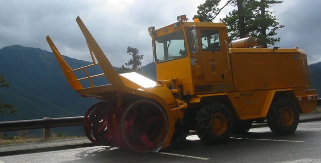
One of two snow blowers ready for use.
Panorama
Click for a larger image
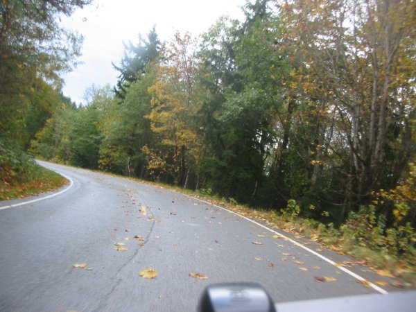
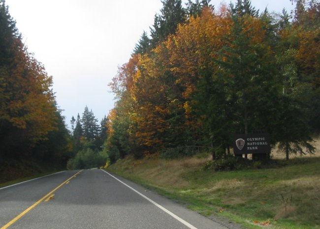
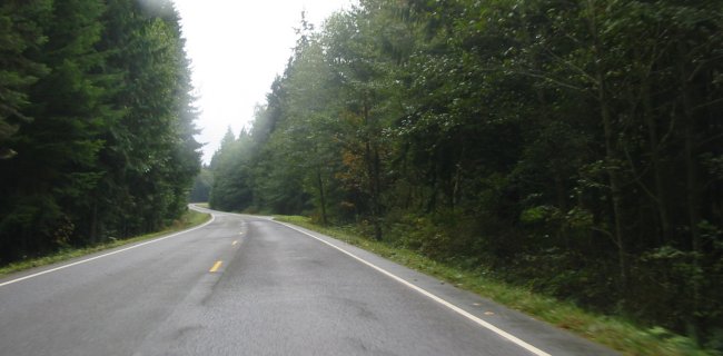
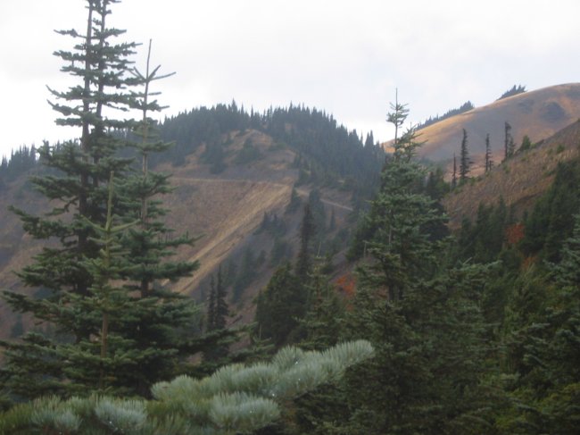
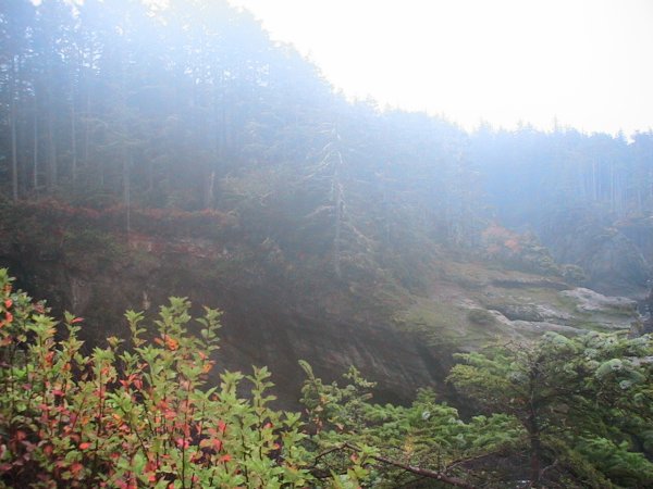
Heading out to the Makah Nation / Cape Flattery. Logged land filling in with new growth.
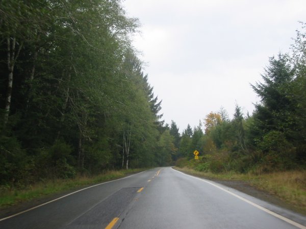
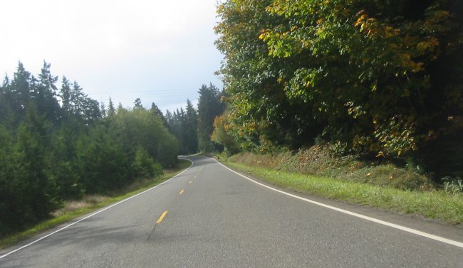
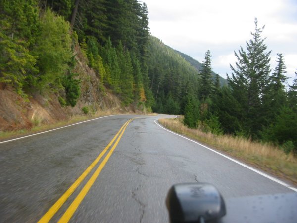
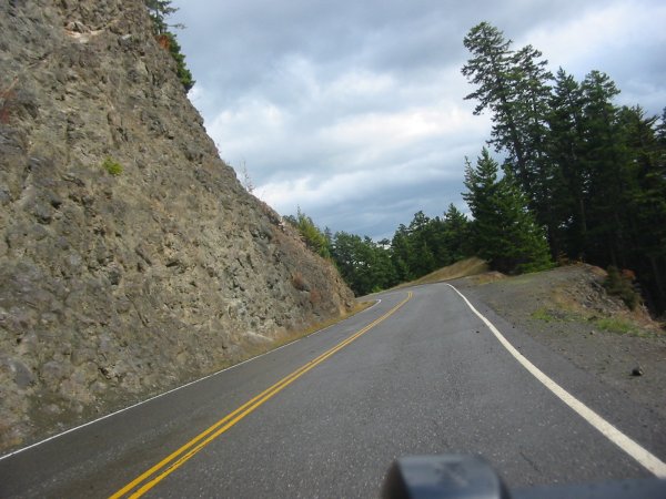
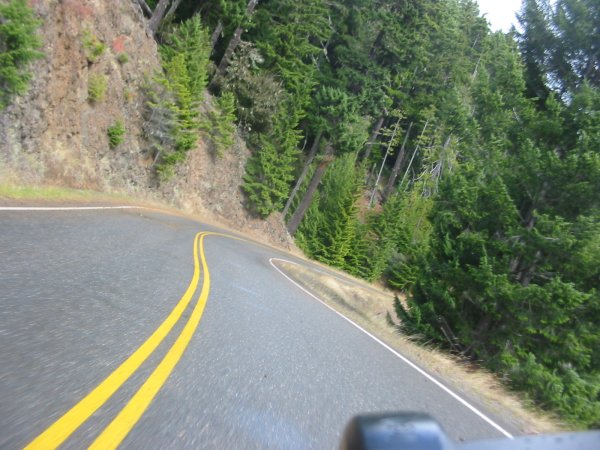
WA 112 from just west of Port Angeles to the Makah Nation. Twisties with tight corners. The wet surface kept me altert.
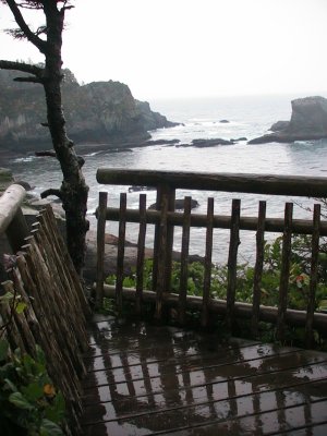
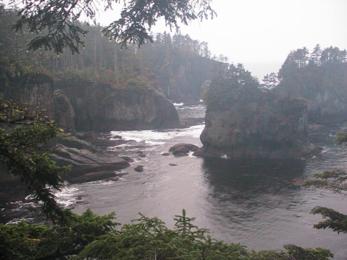
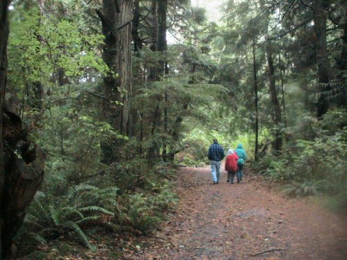
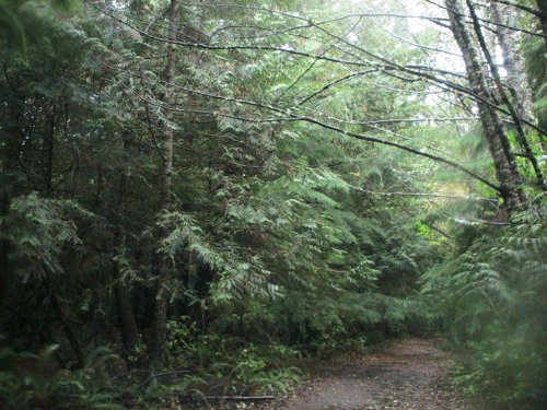
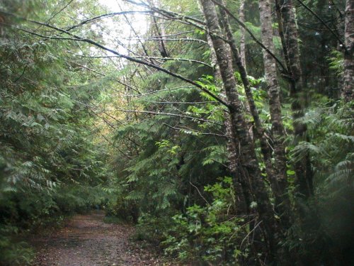
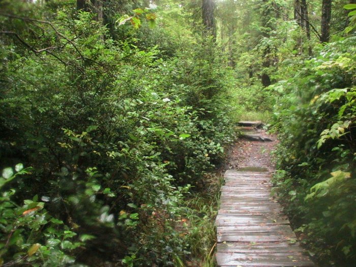
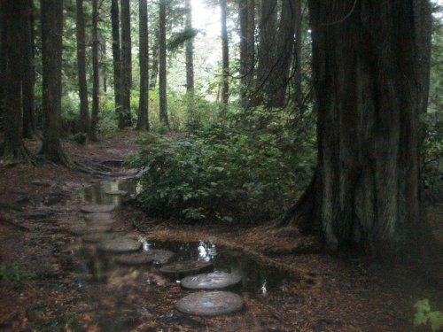
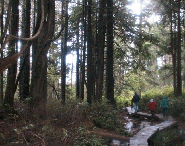
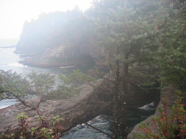
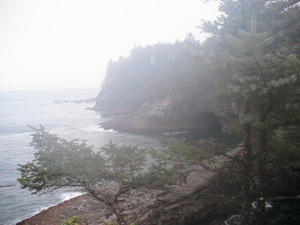
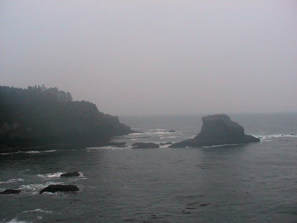
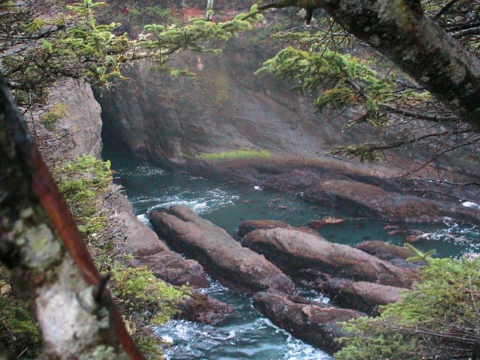
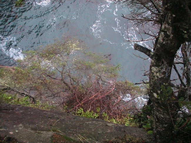
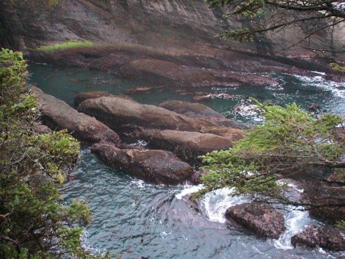
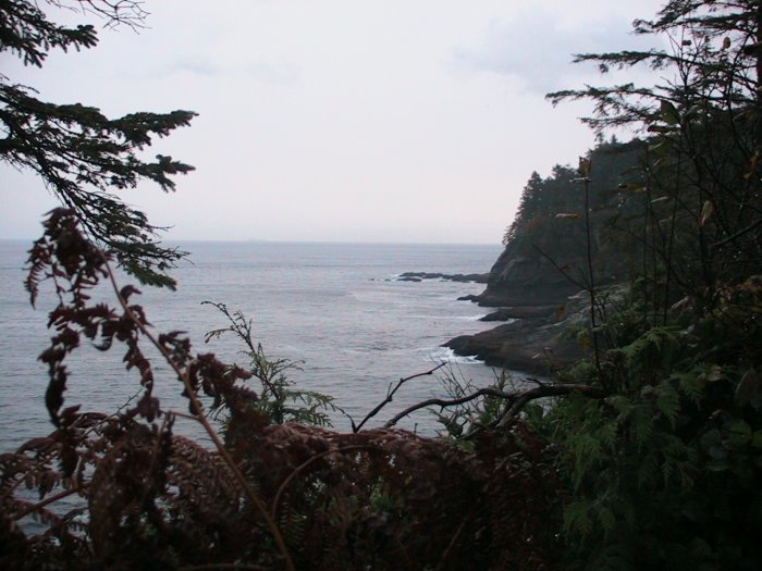
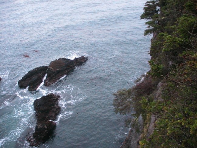
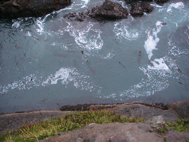
Walking out to Cape Flattery - nice trail.
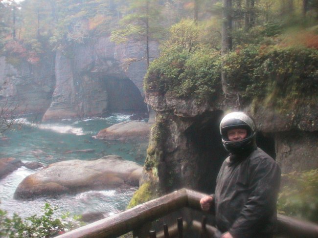
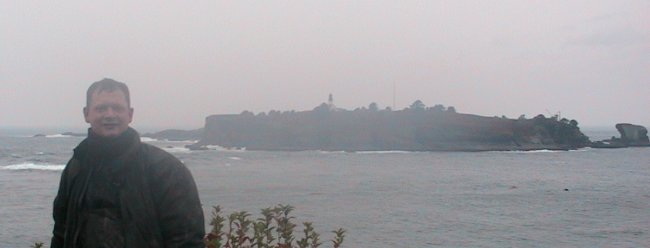
Hi folks! Thanks for taking my picture. Sorry my camera was a bit fogged.
(the white / washed out look in some photos was due to condensation on the camera lens)
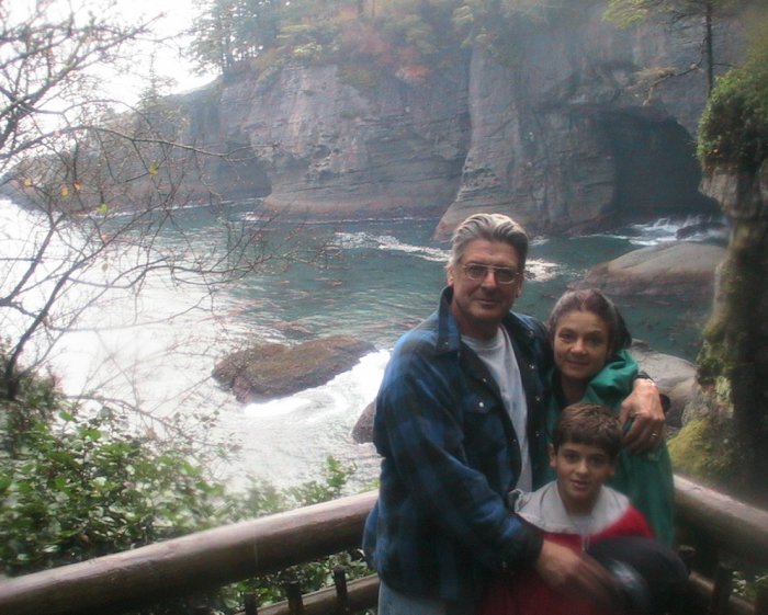
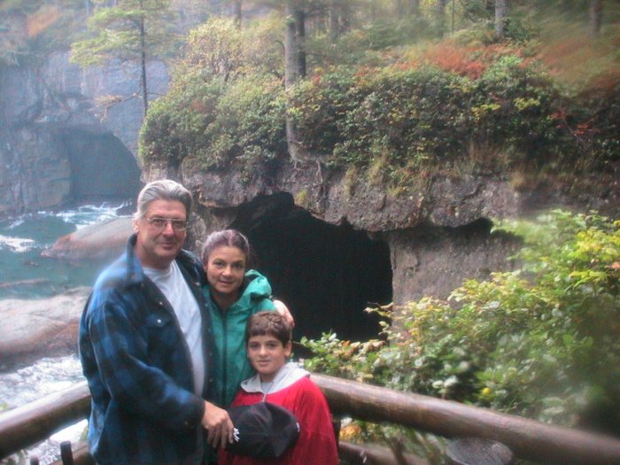
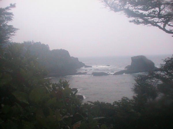
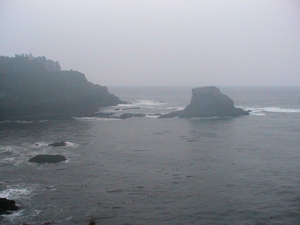
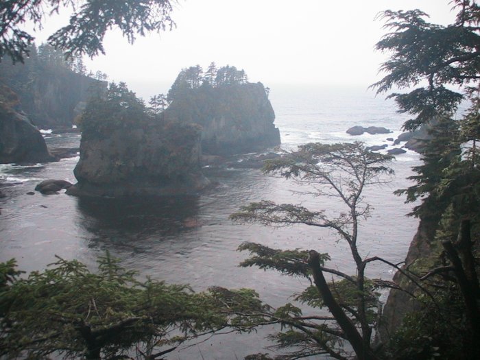
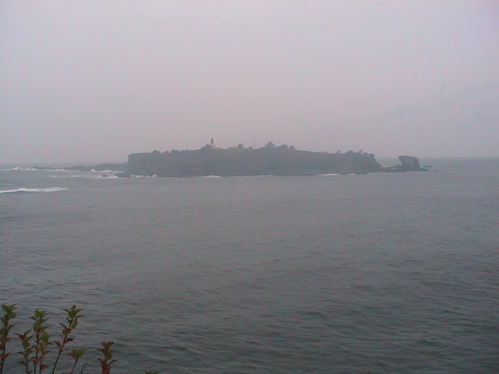
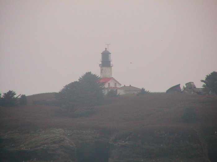
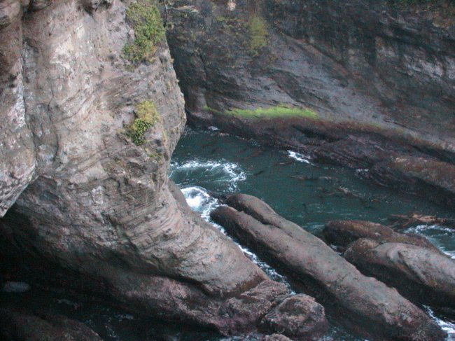
Tatoosh Island. Lighthouse to the mid-left (better pictures tomorrow).
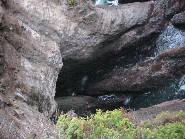
Nice viewing stands.