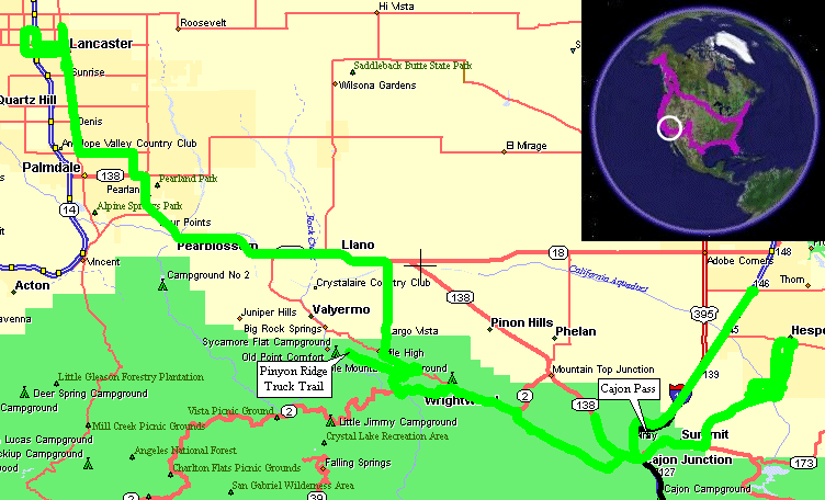
Hesperia, CA To Lancaster, CA
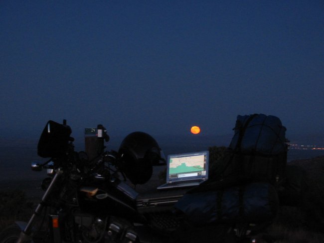
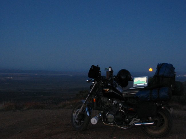
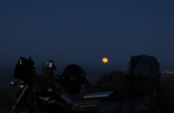
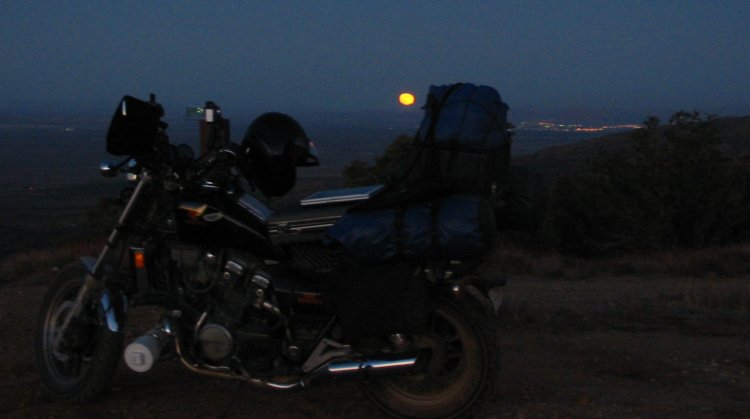
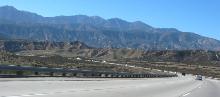
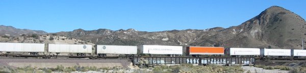
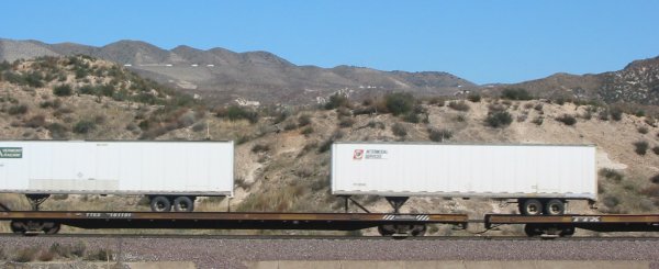
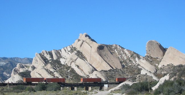
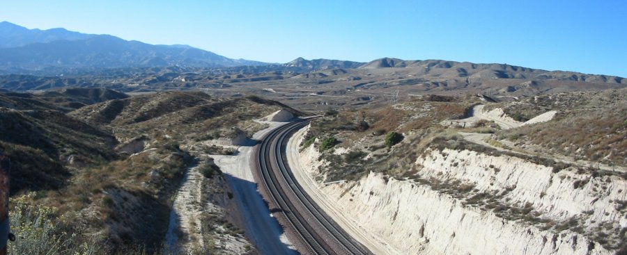
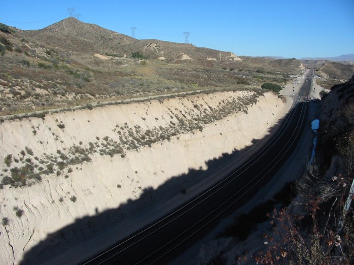
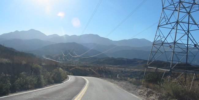
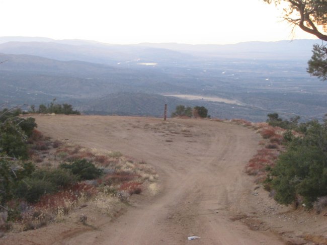
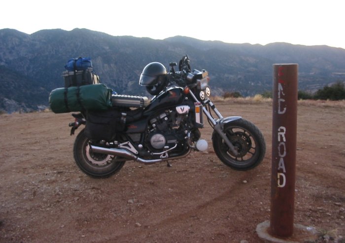
| Another nice day - 70's and sunny! I spent most of the day poking about - taking pictures and video of things trains. Cajon Junction / Cajon Pass is a busy place - I-15, two rail companies (three tracks), power transmission, water, gas, and oil pipelines. Good visibility of the rails and roadways make it such that you can see most of the activity. The road cuts way up at elevation show the semi's poking along as cars pass by. Trains snaking up or down ribbon along the terrain. Enough of that action the decision on where to stay - and how to get there. Angeles Crest Hwy is nearby - have to check that out - up I go - via Lone Pine Canyon Road to Wrightwood, CA. From there I headed west on Angeles Crest Hwy - but see signs that the road is closed five miles ahead. Since it's not too far (and the ride is nice) I decided to ride it to the gate. Yep - a gate alright - what's up with that? At the parking lot / turn around there are a couple other roads - one heading in the direction I wanted to go - Big Pines Road. Road Less Traveled mentality is kicking in.... It's a small, gravel mountain road but it will only take a bit longer than if I were to head back on the standard streets. Well - along the way I came to an intersection that was unmarked. I expected it as the road also deviated to some "ridge road". Unsure of which way to take - but not so unsure as to get out better maps - I took the left fork. Immediately it headed uphill and then leveled out - this must be the "ridge road". Kinda nice up here - the end isn't too far more - let's see what it's like. Passing by some campsites I considered breaking out the tent. Looking at the temps and the altitude I decided to head to lower ground as the evening would be cold. A few pictures a the "end road" post at a late sunset - then more pictures as the full moon started to poke above the horizon. Moving again with the fork in the road again back in sight - this time to take the remaining option. A few more minutes of turns I was spit out on asphalt. Asphalt - no matter the condition - is always so smooth after gravel riding! Slogging through some cities on a busy two lane - oh joy. Spotting some hotels in Lancaster I picked one - Free Internet! Not WiFi - AC Power Line networking! I've read about this stuff but this is a first to use it. Sign the liability form (to make sure I return the converter box) - done deal. Plugged in - it works! No hassle - sweet. The hotel just needed to furnish a few more usable power outlets though. AC/Power line networking is a little used technology. Instead of running network cable from a central wiring closet to the workstations - which can be difficult / expensive in some cases - the existing wall power wires are used to carry the network signal. At a "central" outlet the network signal is injected and "other" outlets can then connect to the network via the converter box. The power cable to the converter box both powers the unit as well as functions as the conduit for the network signal. One network outlet existed on the box for me to connect to the laptop. Wireless (often listed as "WiFi") is more common but this power line stuff did the job. |
Video
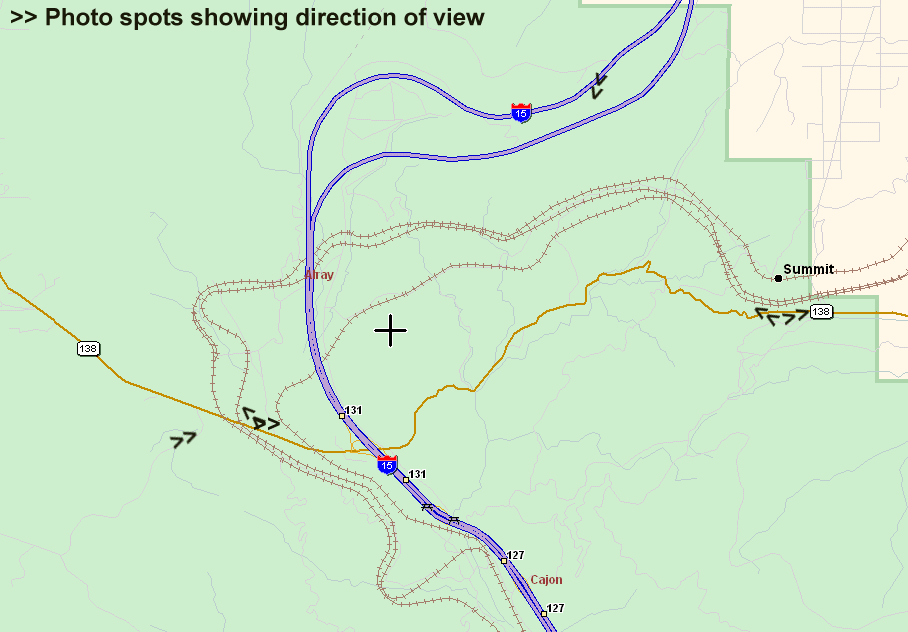
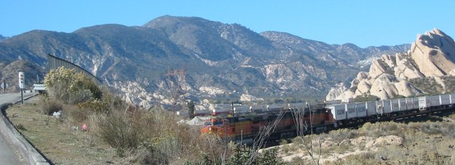
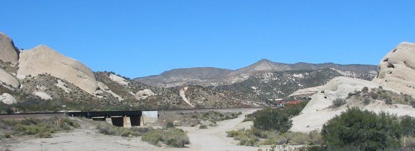
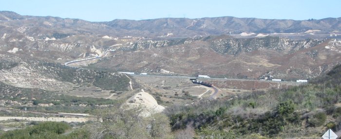
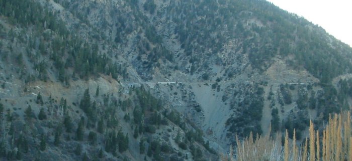
Cajon Pass
2005-11-16.mpg
MPG, 21 MB, 2 min 40 sec
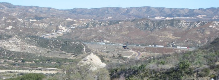
Detail of Cajon Pass.
The "upper" railroad track (with the black dot of Summit on it) is Union Pacific. The others are Burlington Northern Santa Fe.
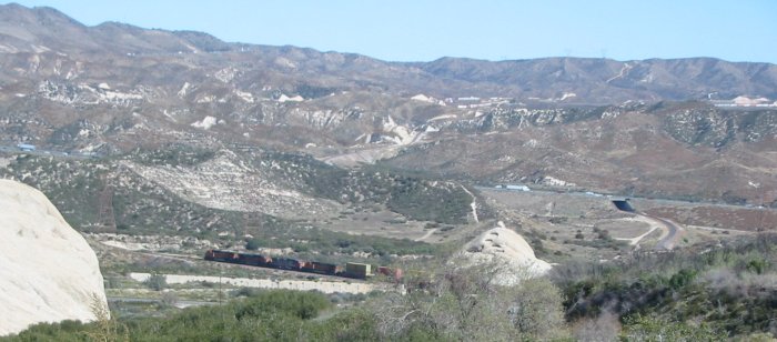
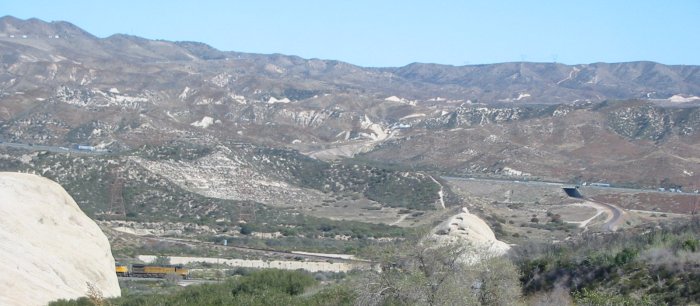
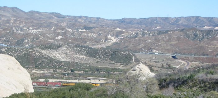
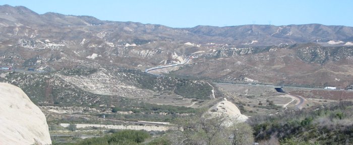
Interstate heading down - looking west
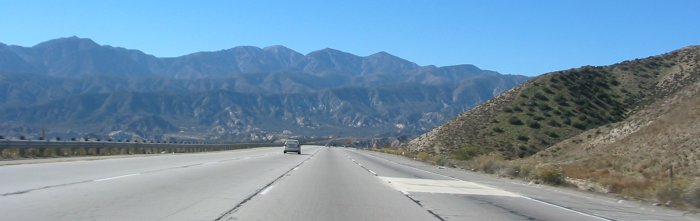
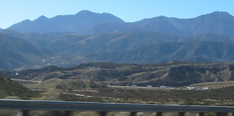
Still heading down - looking southwest
Looking south
Looking east
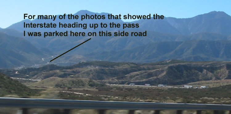
Click for a larger size
Click for a larger size
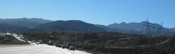
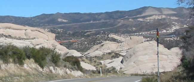
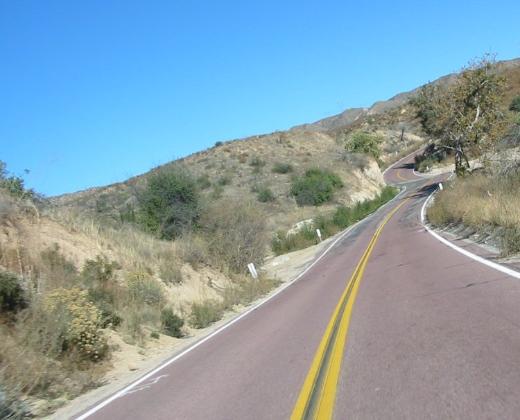
SR 138 - eastbound from the Interstate to the summit
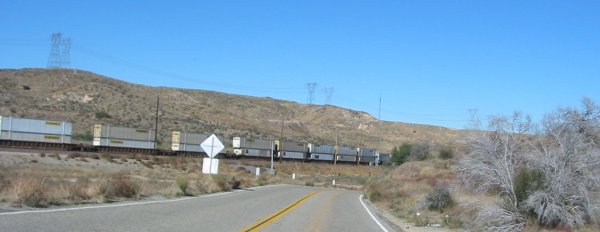
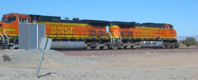

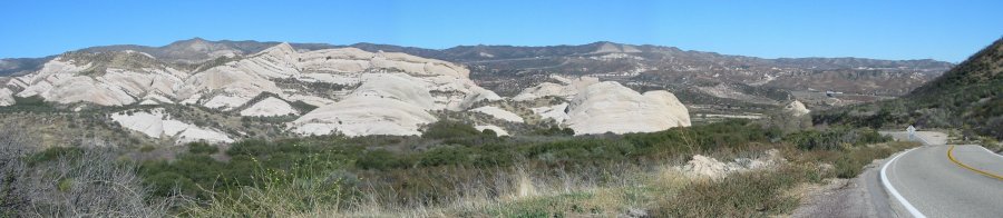
Burlington Northern Santa Fe tracks at the summit - looking west
Click for a larger size
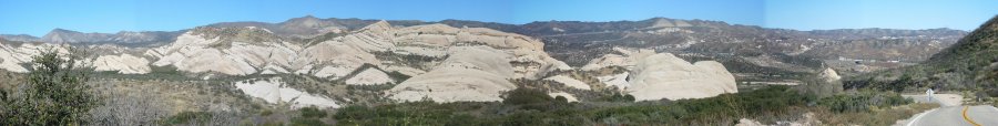
Looking east
Forest road - just north of Skyline Drive
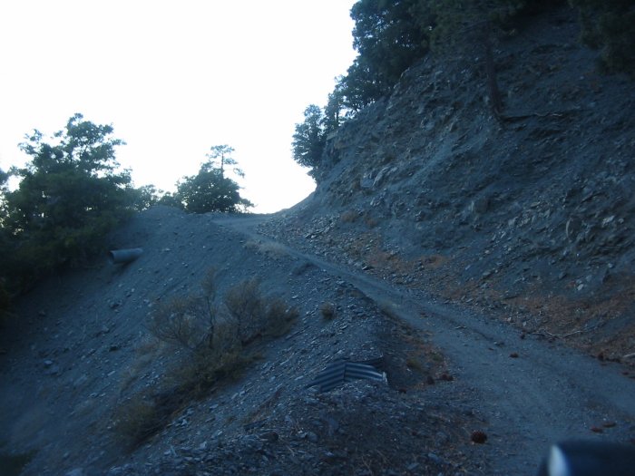
Looking back at Skyline Drive - the closed section.
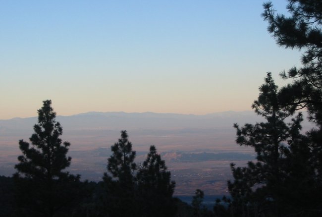
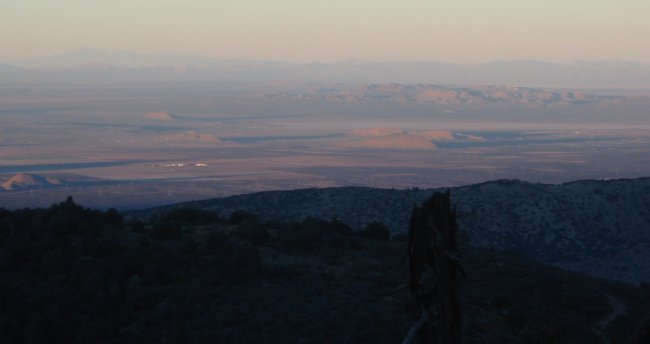
Down on the valley floor - 10 miles distant - I can hear a freight train - and was just able to pick it up visually
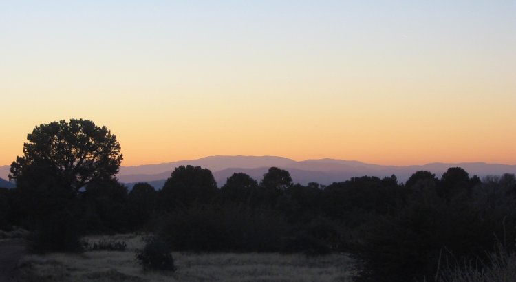
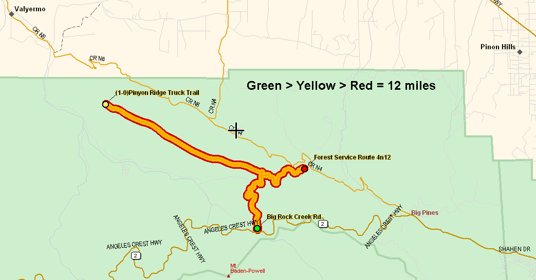
End of the road - Pinyon Ridge Truck Trail
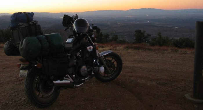
Is this like the "You've reached the end of the Internet" and I've seen it all and there is no more?
The yellow dot is where the "End Road" pictures are from. I came onto the dirt road at the green dot, stopped at the yellow dot, exited to asphalt at the red dot - 12 miles.
End of the Road - 360 View
Click for a larger size

Laptop out to double check the road distances - how far back to pavement...