Stafford, AZ To Albuquerque, NM
| Plan for the day is to ride US 191 (aka US 666 /
Coronado trail) North and then stay at Albuquerque. It should be
somewhat of an easy day - with time for deviations should any come
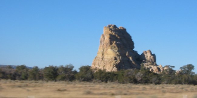
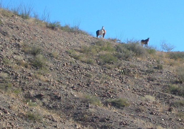
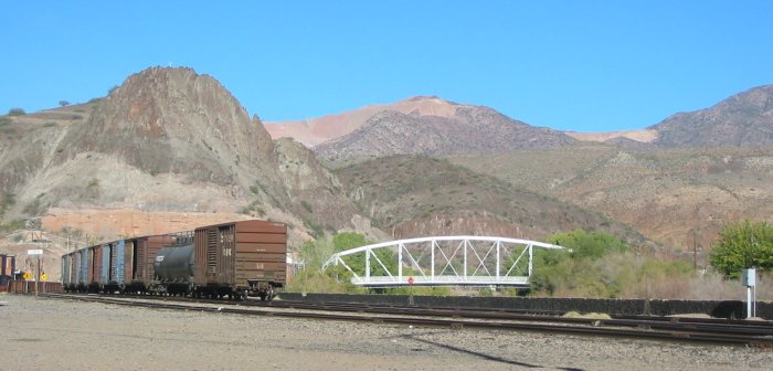
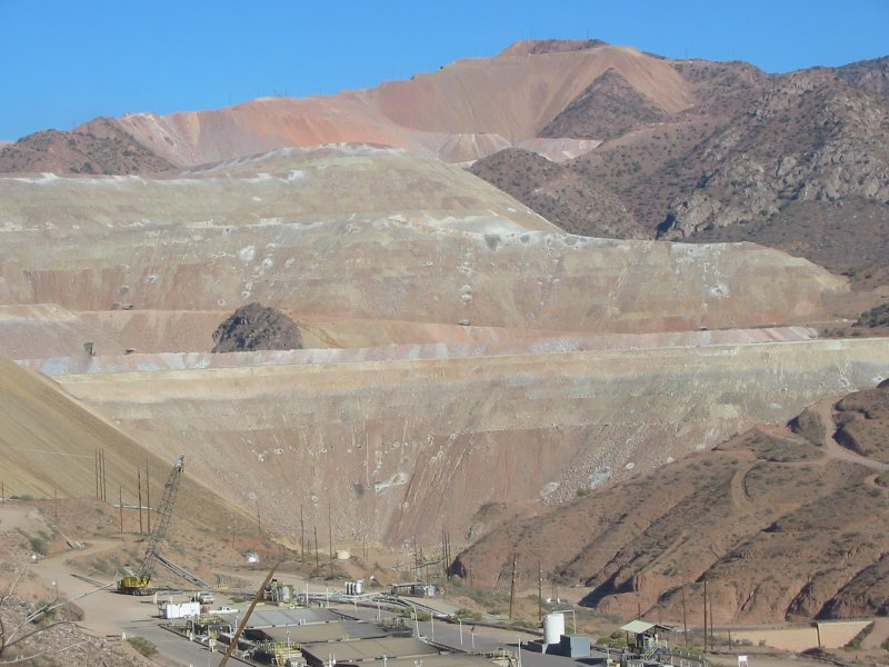
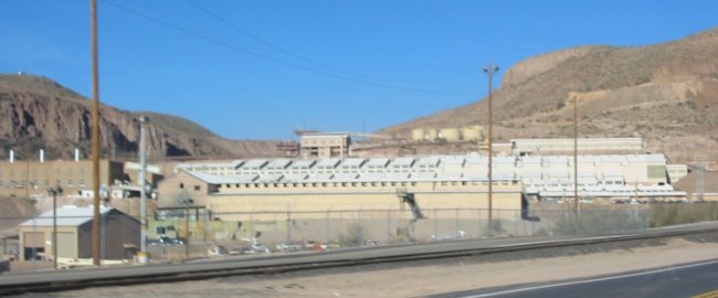
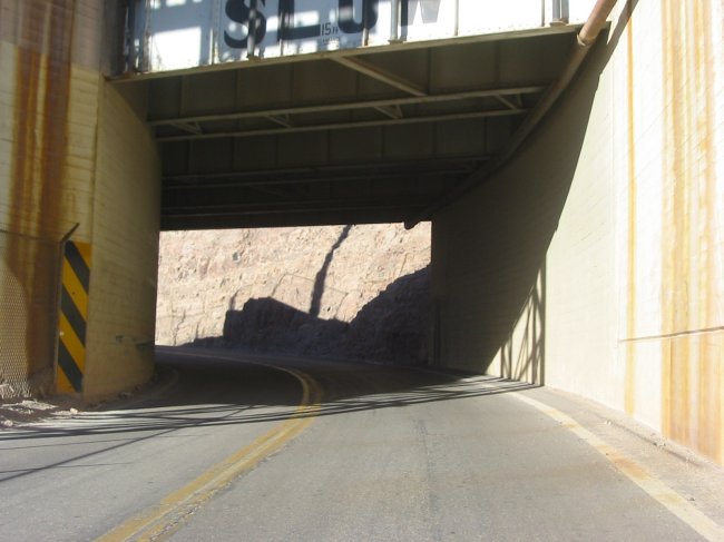
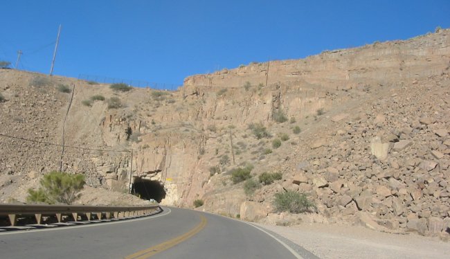
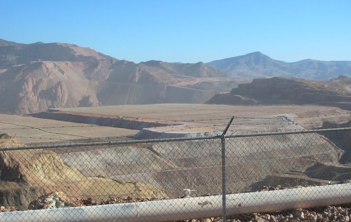
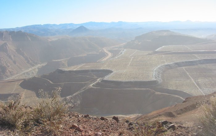
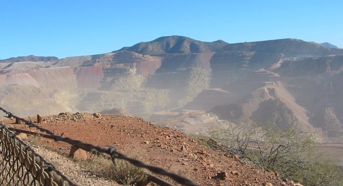
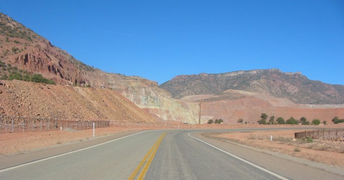
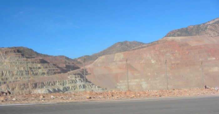
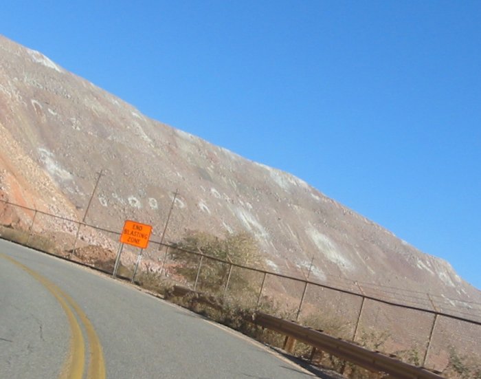
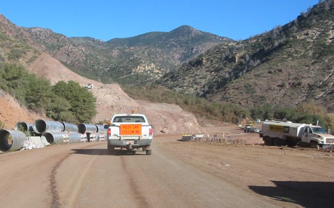
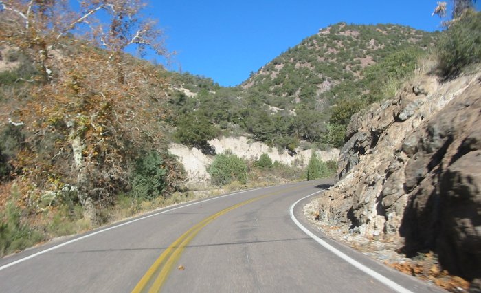
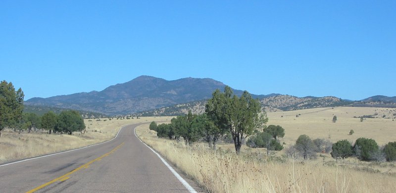
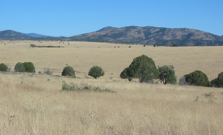
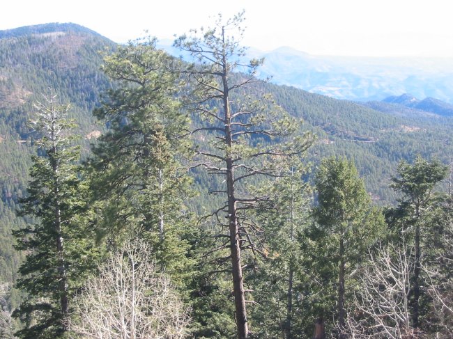
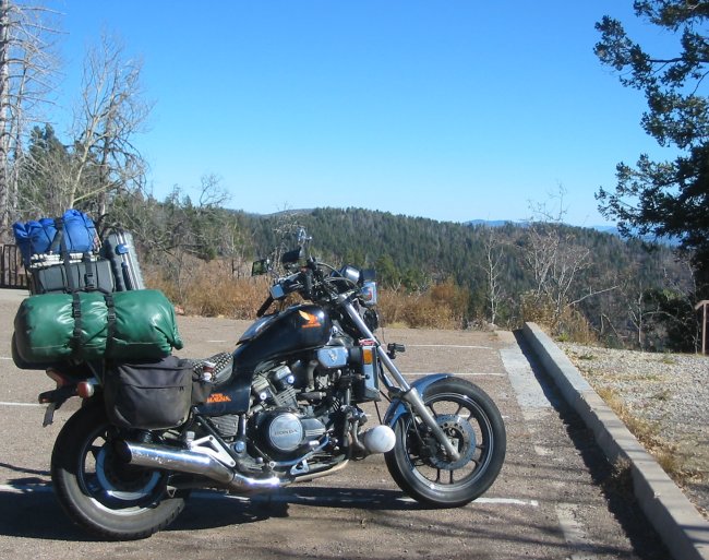
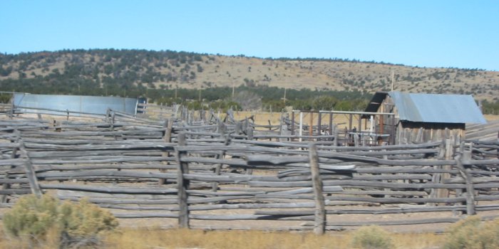
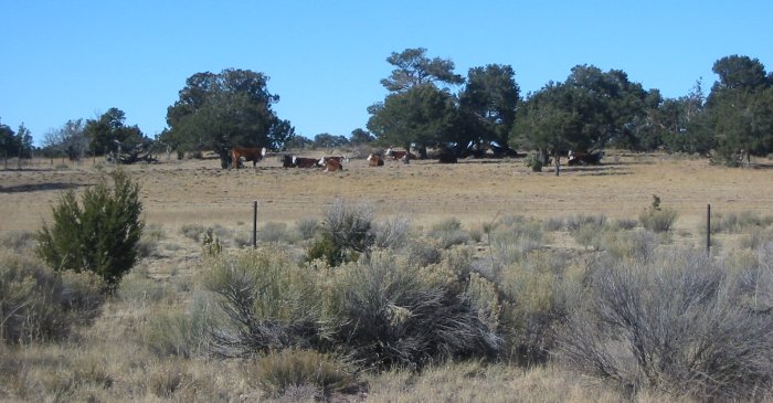
about. Processing East from Stafford to the 191 intersection was uneventful - more cotton fields - harvested and yet to be harvested. Turning North on 191 the road headed for some hills - nothing to make for tight twists but hills nonetheless. A short bit later the town of Morenci AZ came into view. It is noted for the huge mine there - moving mountains in scope. Take a mountain, stuff it through a minerals extraction process, move it back into place. The monster dump trucks were all about doing their thing. Transportation in this area is industrial - the highway goes through a portion of the mining complex - rail lines, roads, conveyors, pipes - all moving stuff. The visitor outlook spot was closed but I was able to get a few pictures through the fence (not like the place isn't visible everywhere else tho). At the north end of the mine there was some construction - two or three miles perhaps. I spoke with the traffic control lady where I had to wait for the pilot car (no vehicles waiting in line with me) about keeping warm and she commented about how cold it gets at the end of the shift. I gave here the website of the heated jacket - just something she could use to keep warm. The pilot car was quick to get there and off we went. Out of the construction zone the road quickly turned sweet. Hwy 191 (also listed a the Coronado Trail and Hwy 666) from where the Morenci mine ends to Alpine is like a four course, 75 mile, meal. The first course is a set of tight twists as you enter the Apache National Forest and ascend up to the sky. A break in the curves to enjoy the scenery and then another set of reasonably tight curves. A little more in the straights - high meadows and vistas - then a delicious set of uniform, medium speed, consistent radius curves. While I only had a couple minutes of recording left on the tape I wanted to get some of this recorded. Back down to the beginning of that set. The horse riders at their camp kept looking as I pulled over, turned around, and "fiddled with something" on the bike. I moved the camera head from the handlebars down to above the front wheel. Click into first and hit record. Up through the set of twists one more time. Sun to my back made for good lighting. Each turn was 40 to 50 mph with a nice lean going. The little nubs at the outer edge of the front wheels tread are still there but they show some contact with the roadway. Not too crazy - just nice leans on some good turns. Now for desert - sweepers. I sat between 65 / 70 and they were "just right" - not too hot - not too cold. I'm sure many could process them at higher rates but with the animal activity (hunting season opened three days ago) I wouldn't want to take an Elk by being the bullet. At Alpine I stopped for some brunch. The restaurant had on the news story about the Nike / Gulfstream plane that had right main landing gear issues. It was still up burning off fuel when I took to the road. Alpine to Springersville was scenic enough - but the roadway was done - no more fun spots. At Springersville I took US 60 east. Straights with long views. The plan was to take 60 East to I-25 then I-25 North to Albuquerque. That route changed at Quemado, NM where I saw a state route 36 sign with Albuquerque listed. Full with fuel I took a quick glance at the GPS - this is a decent alternative - a 50/50 between the two routes as far as distance - the 36/117 combo should be a bit less active and more open than the US 60 I was on. And it was. Almost void of vehicles the bike found itself scooting along through the long straights, slight curves, gentle rise and fall sections. Large ranches - horses and cattle - with the occasional water tank off from the road. Thirty-Six eventually would turn west but I wanted to go east. This is where route 117 came in - it would head east / northeast to I-40. Where 117 turns more northeast it entered the El Malpais National Monument and the Cebolla Wilderness. This area found the road riding in a valley. The valley walls, where gently sloped were covered with trees but where steep were bare rock faces basking in the sun. Popping out of that valley I was at the I-40 entrance ramp. Seventy miles (a bit less than an hour at the 75 speed limit) I found the Route 66 hostel. Early day - 4:15pm - I had an hour of sun left.... |
Video
US 191 & AZ 117
2005-11-21.mpg
MPG, 20.4 MB, 2 min 35 sec
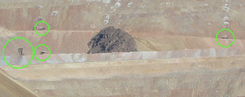
Count the dump trucks at work.... at least 5
Phelps Dodge website - mine tour page
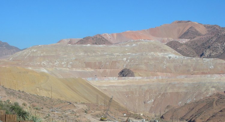
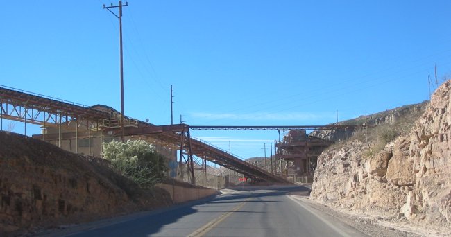
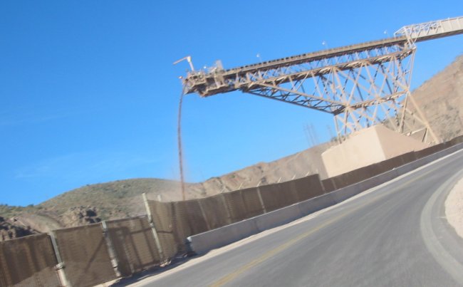
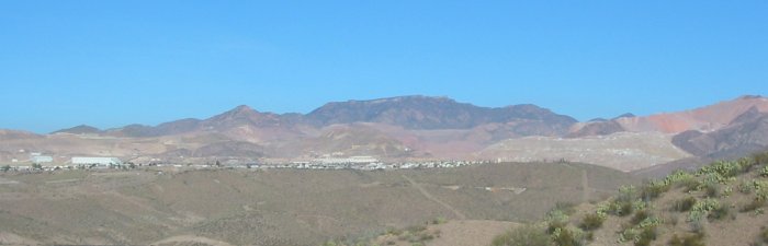
Moving mountains - from here to there - less some of the minerals.
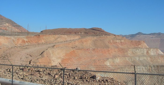
Steps in the mountains (background) will be moved out - eventually to be made into a new mountain (flat areas in the foreground)
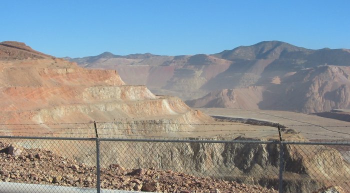
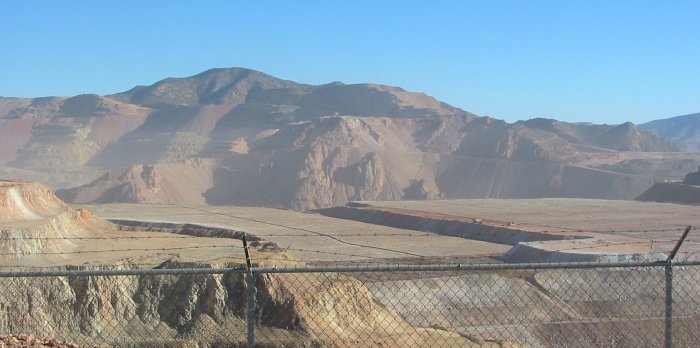
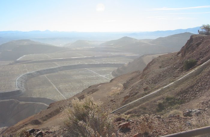
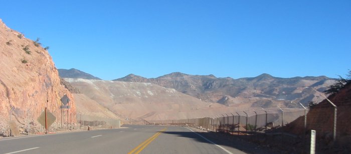
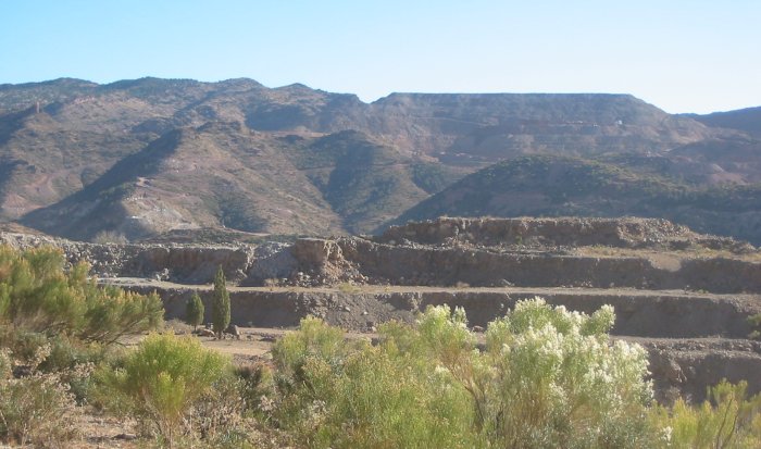
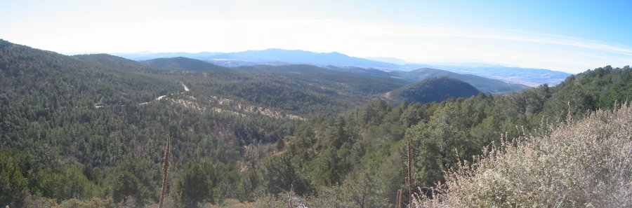
The mine borders the Apache National Forest
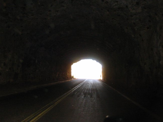
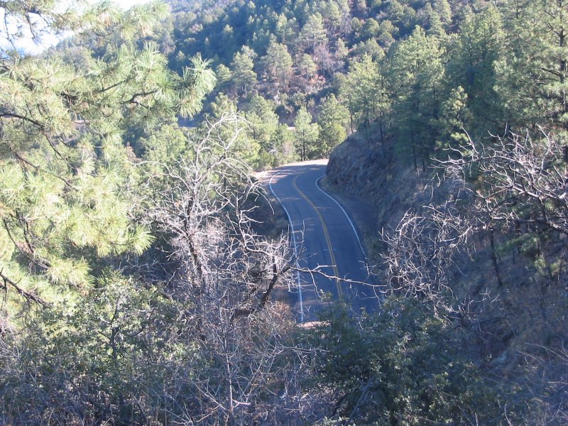
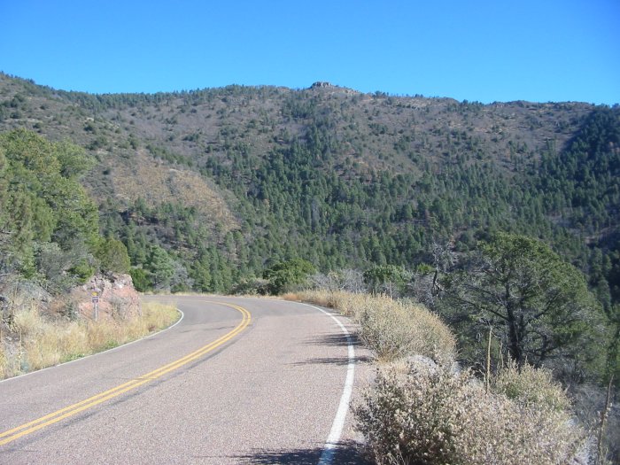
So from the construction above, we cross over to this below...
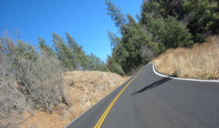
An immediate change - from construction to nature and tight twists - just like switching a light on
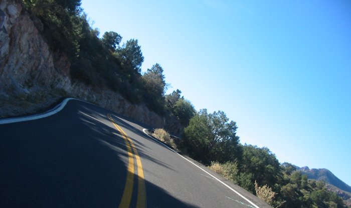
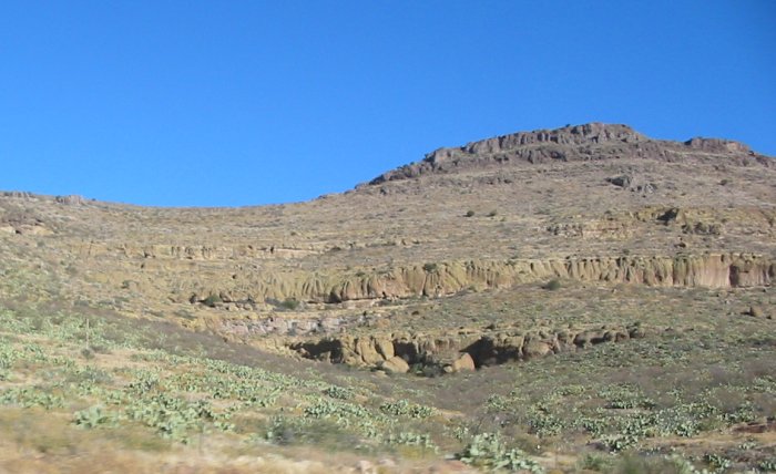
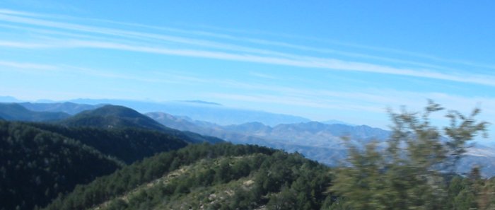
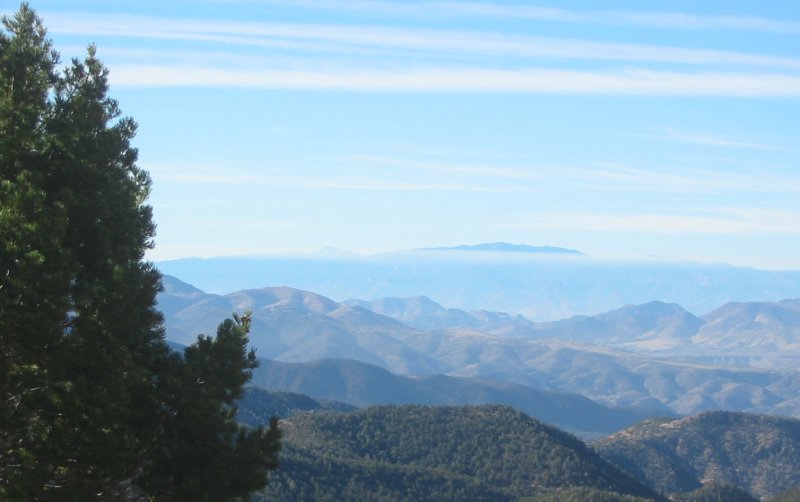
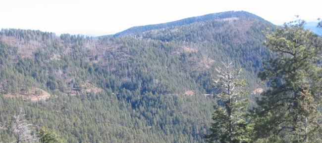
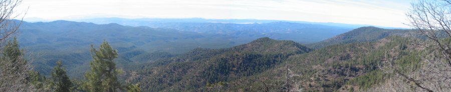
Up, higher and higher. Some cloud ringed mountain out in the distance.
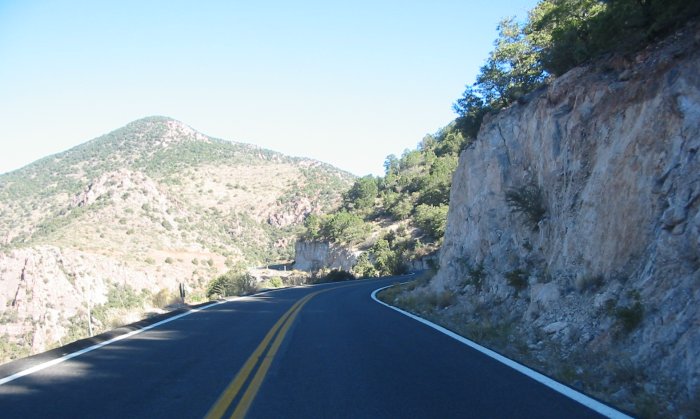
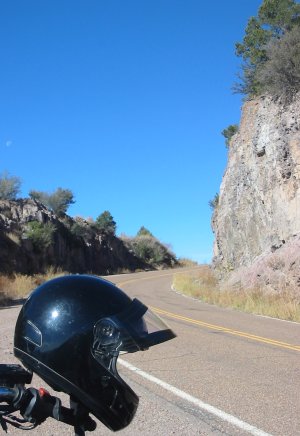
US 666 / US 191 / Coronado Trail
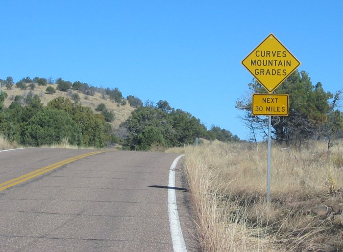
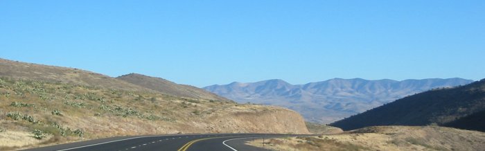
Looking back at the road I came up
Click for a larger size
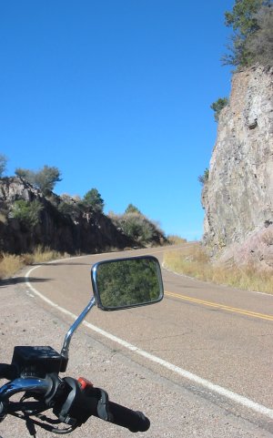
Click for a larger size
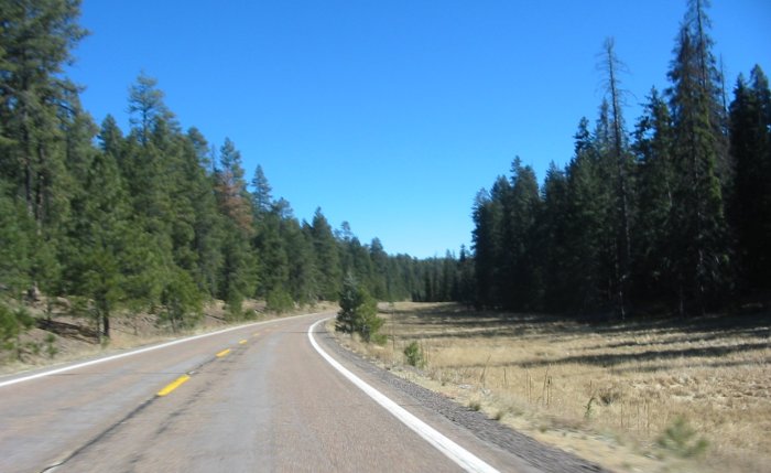
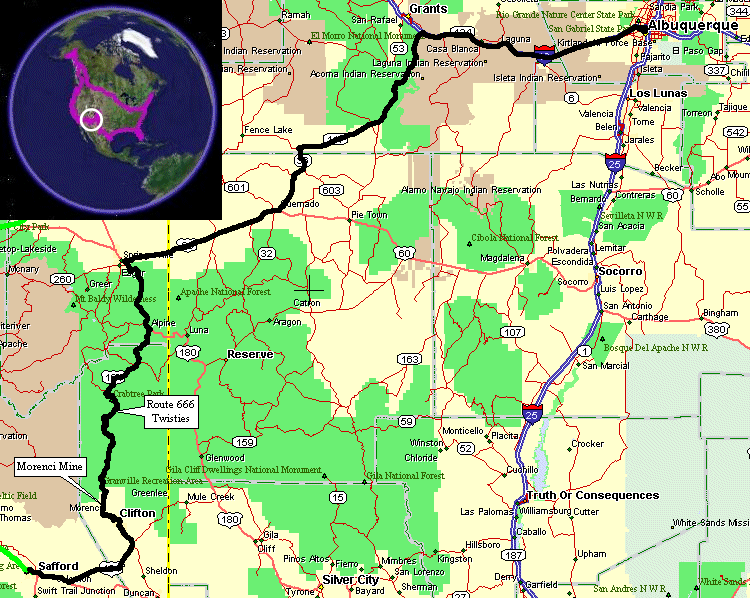
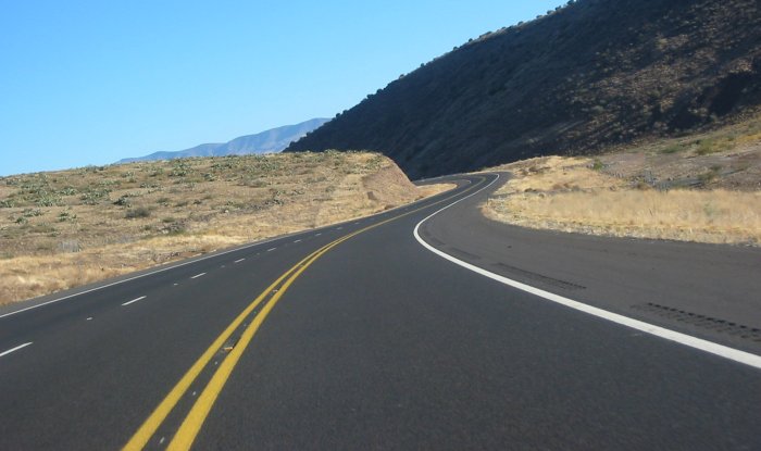
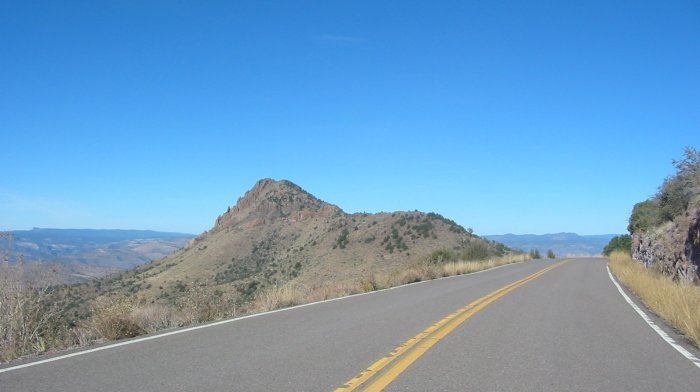
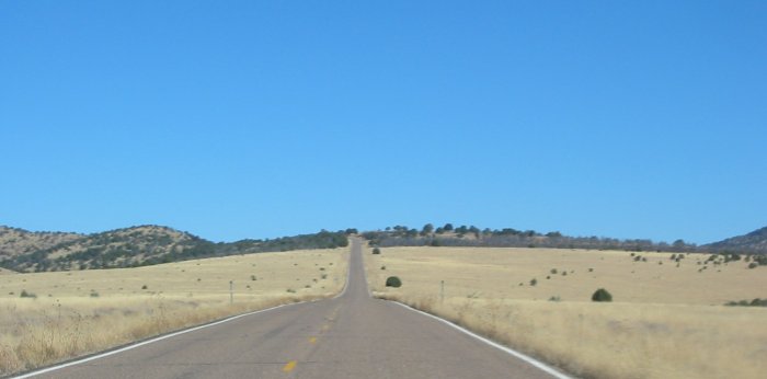
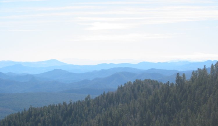
Sweepers
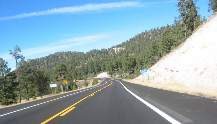
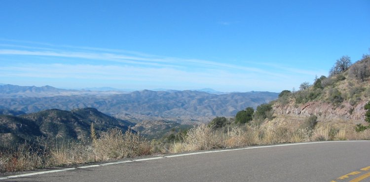
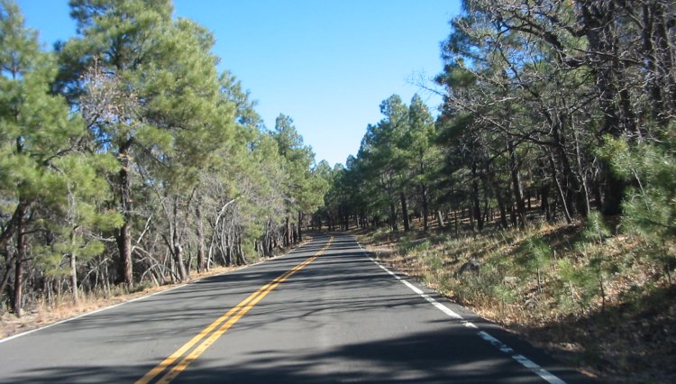
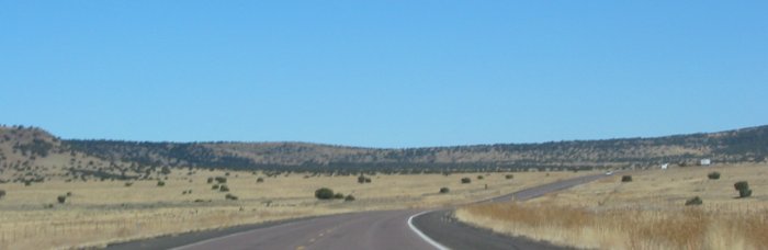
Heading east from Eagar / Springerville, AZ
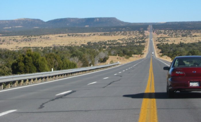
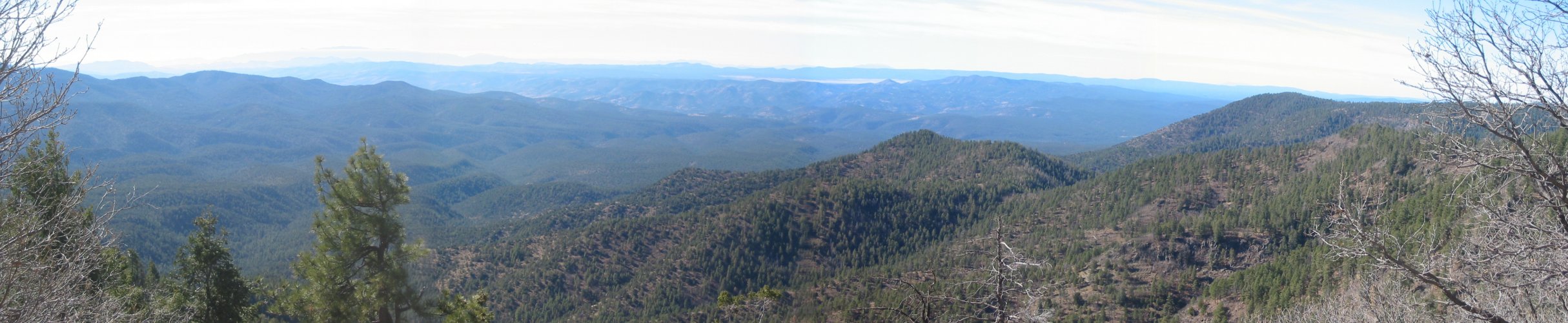
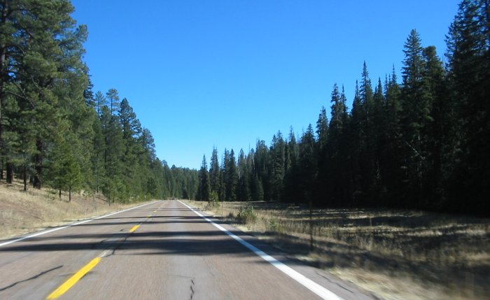
My deviation route - AZ 36 > AZ 117.
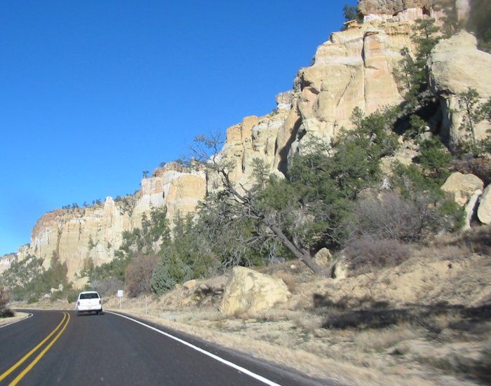
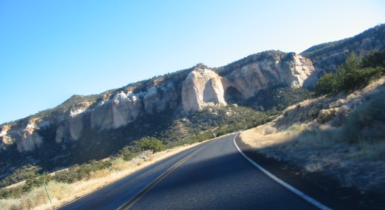
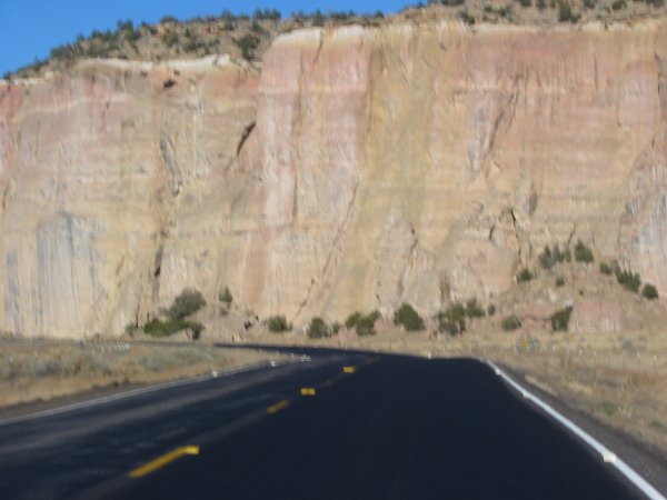
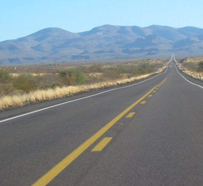
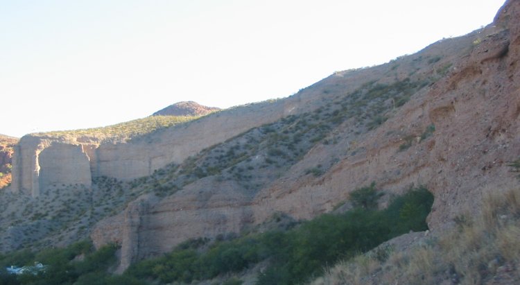
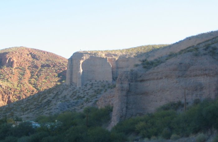
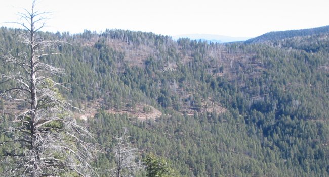
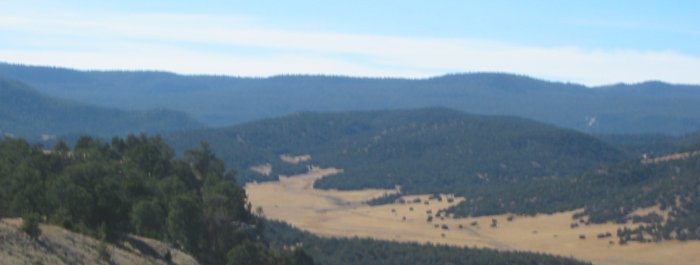
This is AZ 117 - Cebolla Wilderness on one side of the road - Malpais National Monument on the other