Taitung, TW to Hualien, TW
Today
will be a bit of a push day - a decent amount of distance to cover. The
plan is to get to Hualien for the evening with a side jaunt up and back
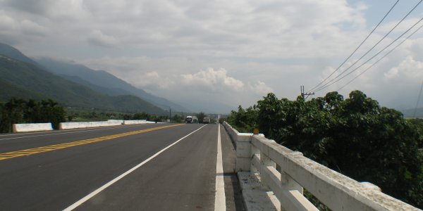
on the southern "Cross Island Highway". Passing by a tractor working the field - the smell of worked soil - just the same - a good smell. Litter, unfortunately, is rather common. Seeing a smoker tossing a butt on the ground is routine. When starting from a stand still, on the scooter, I occasionally pull my feet up and expect to put them out onto some footpegs - not the case - pull them in and into the step area (having them protected in the step area is a good thing when navigating through tight traffic). |
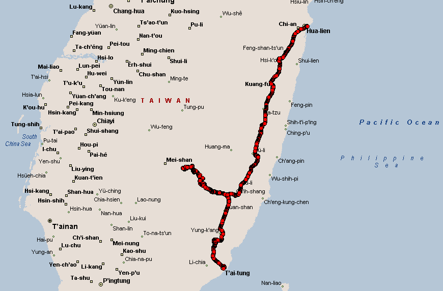
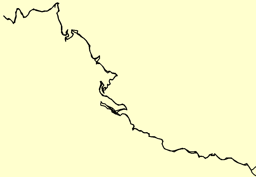
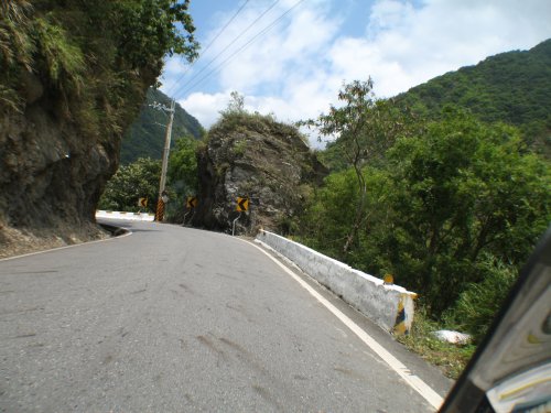
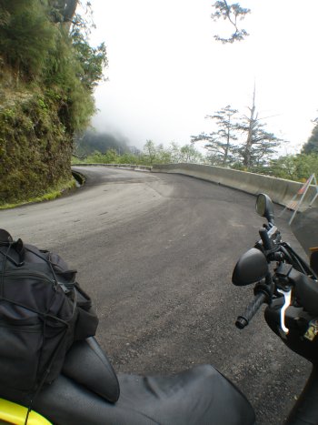
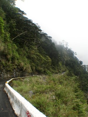
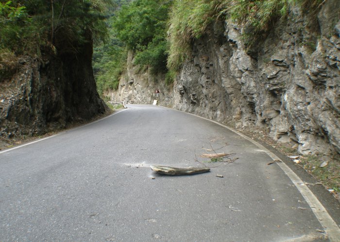
| Look at this track - not too much straight line here! The southern "Cross Island Highway" is not what I'd classify as "highway". It was small, a bit rugged, slow, an adventure. |
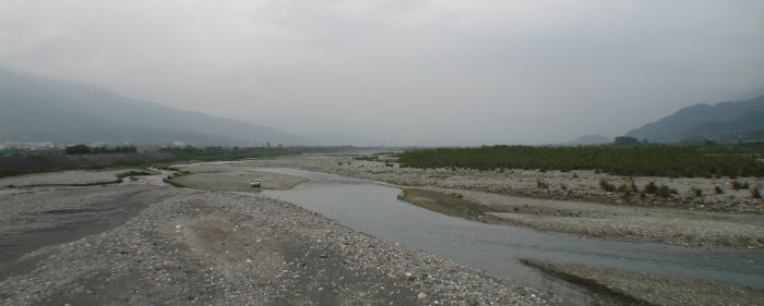
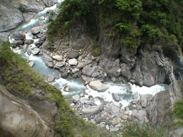
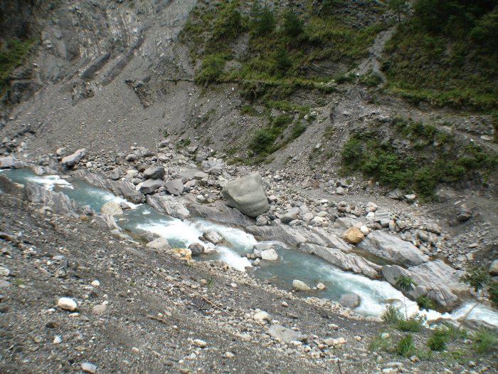
| Nearing a river crossing |
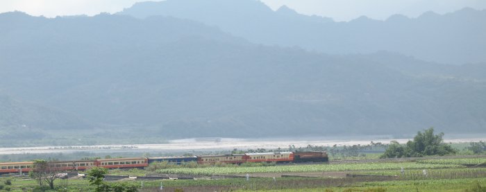
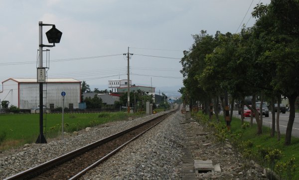
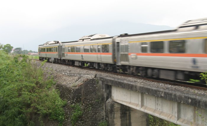
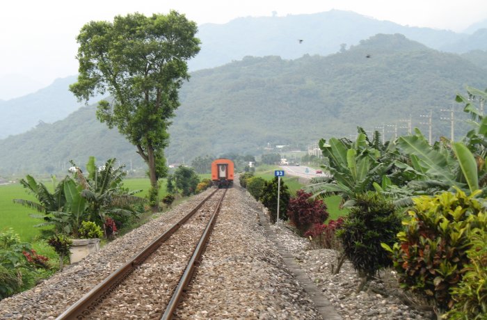
| Had to get a shot of some of the railroad equipment. |
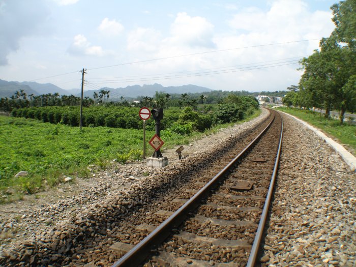
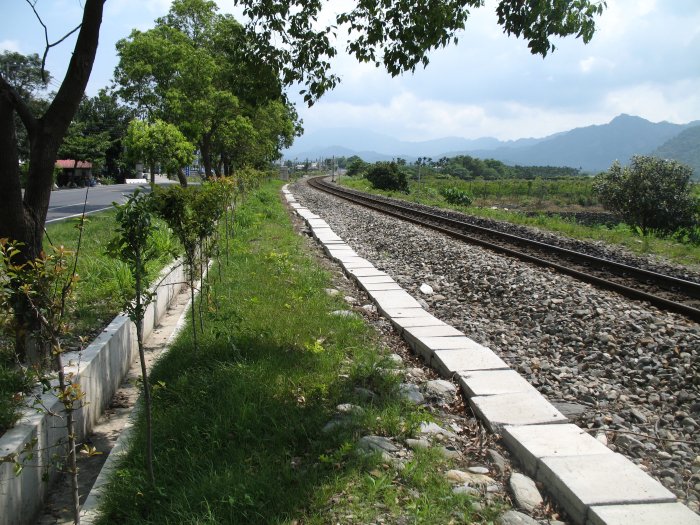
| The "walkway" near the tracks is a wiring conduit that is covered with cement pieces. |
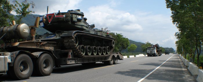
| A couple convoy's of tanks heading south. |
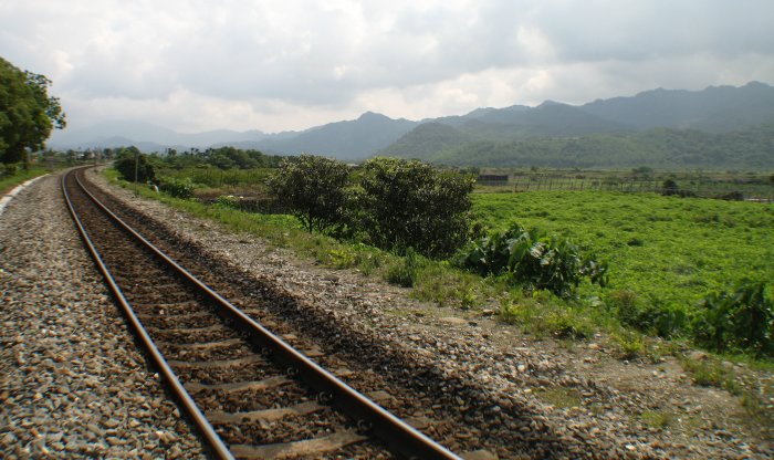
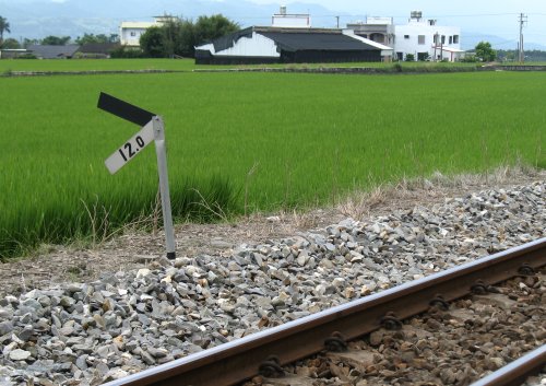
| There are two types of trains - fast and slow. My guess is that this would be a slow one. |
| Five? lights on this signal. |
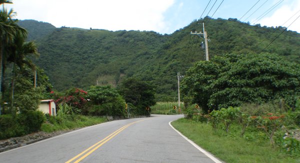
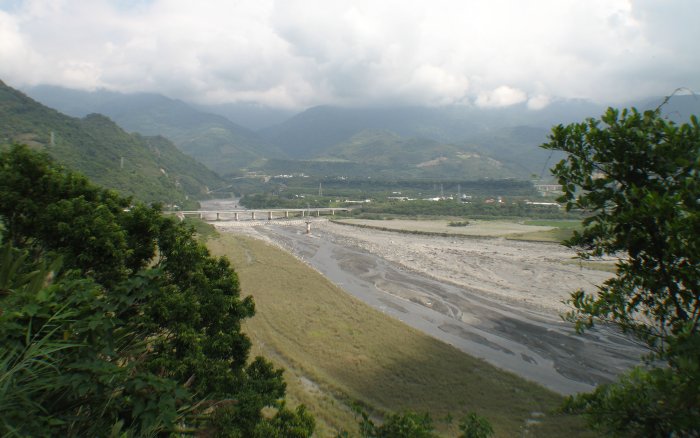
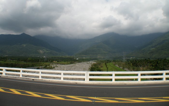
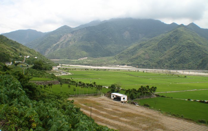
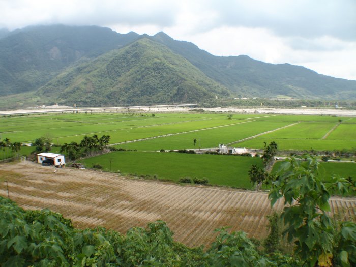
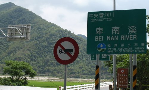
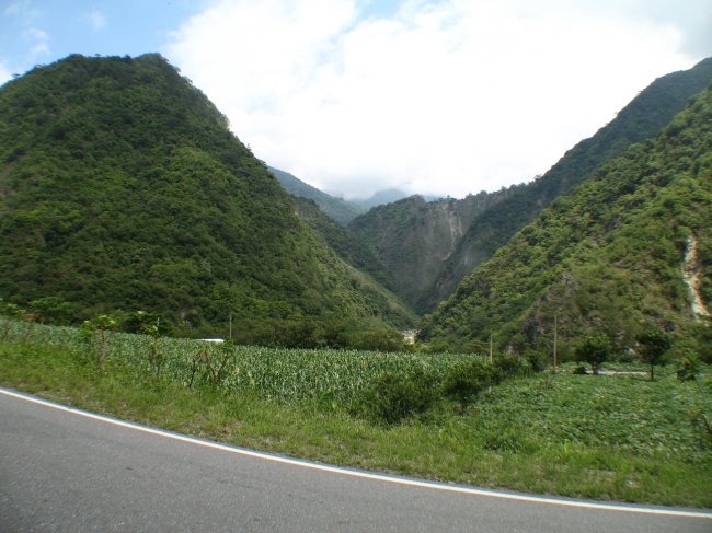
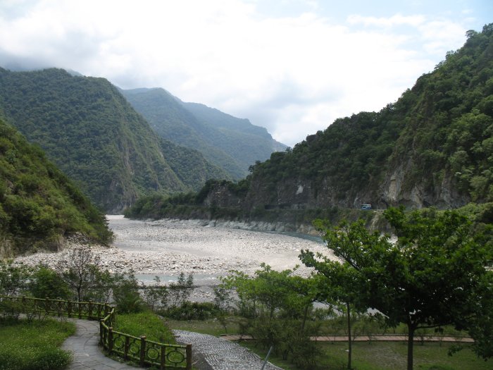
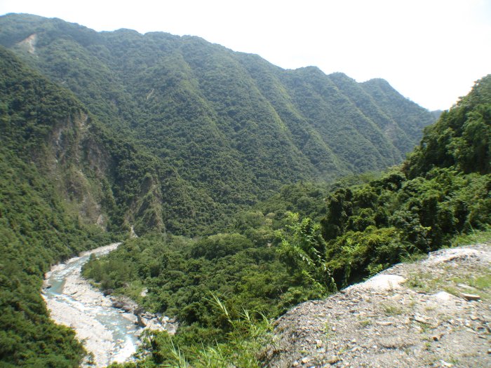
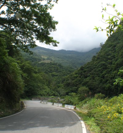
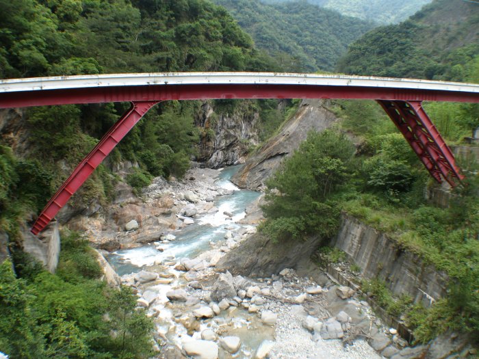
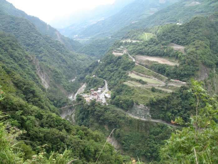
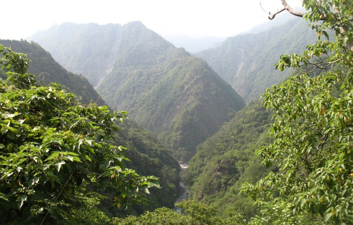
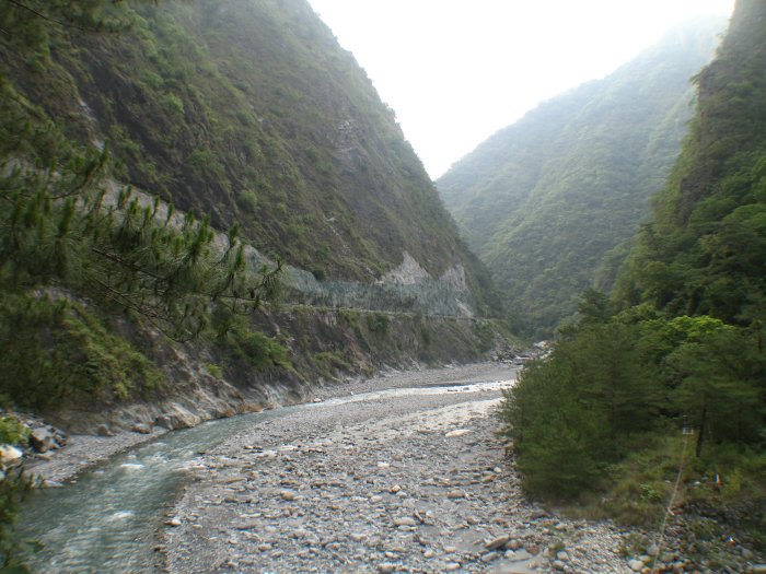
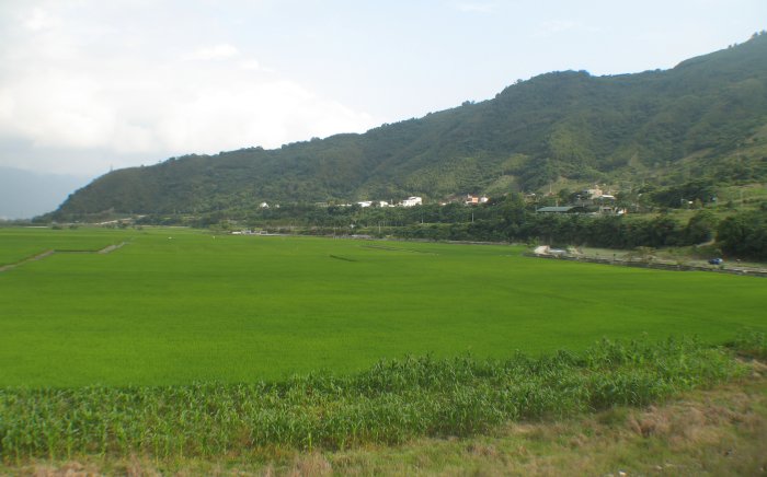
| ah, the valley that the southern CIH starts in. The bridge crossing the river heads north along the coast. The highway starts running up the left side of this valley (near the left edge of the bridge). |
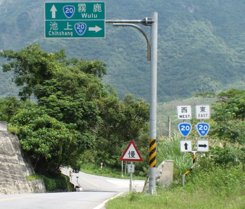
| OK - now I can't quite figure out the two blue and white "20" signs. One is a basic "20" while the other has another character added to it. You'd think both would have an additional character - one for east one for west. |
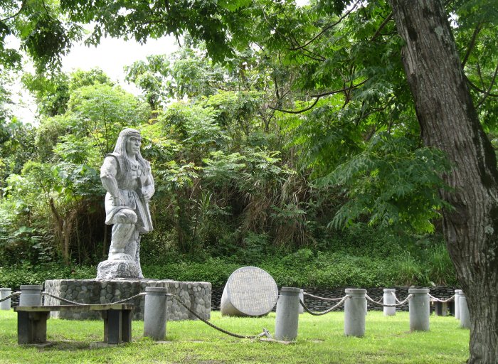
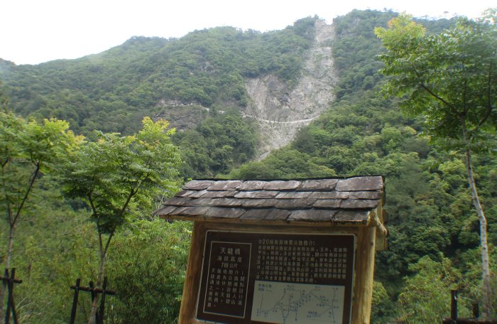
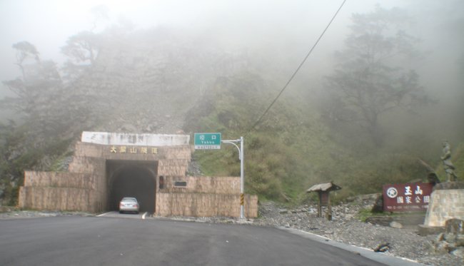
| Memorial or park at the entrance to the Southern CIH |
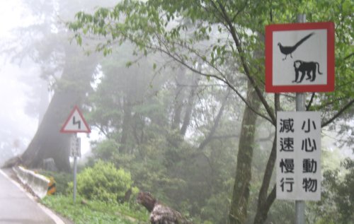
| Hmmm - no trucks. This sign I find is specific - no kingpin trucks. Straight trucks are allowed. |
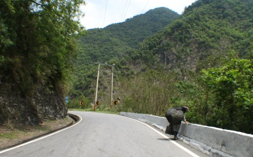
| Someone out picking up plastic bottles. |
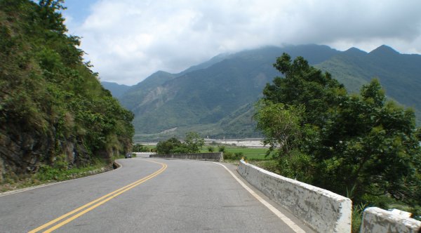
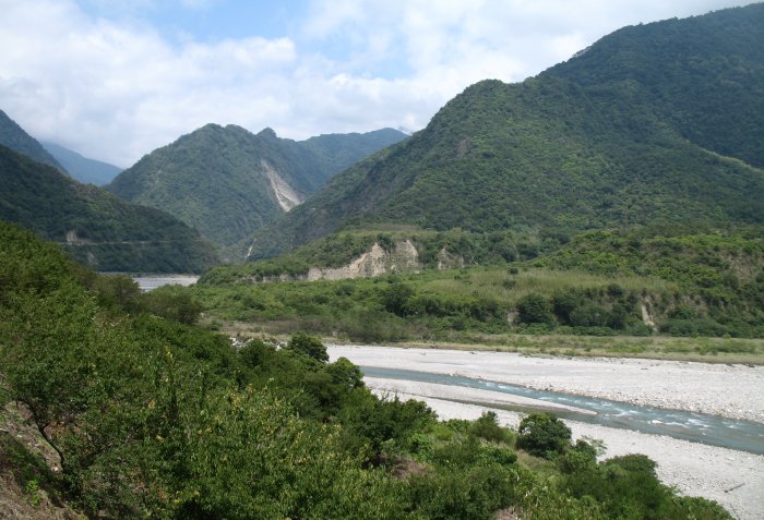
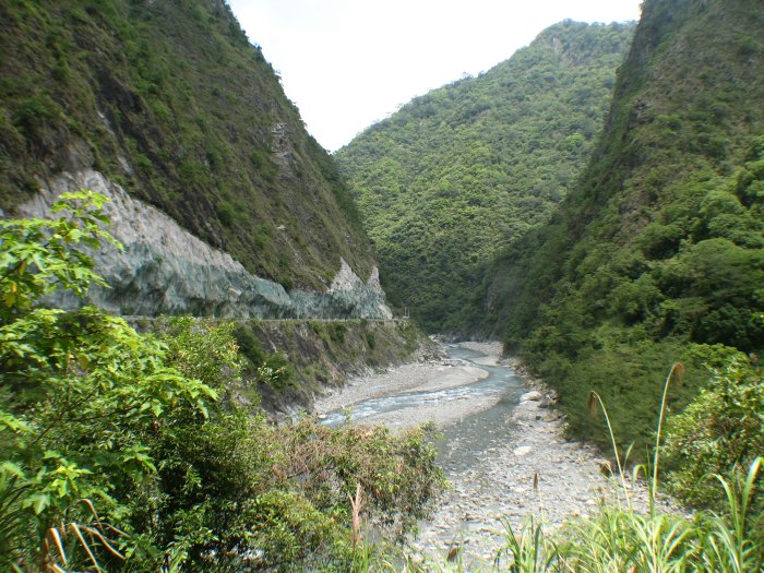
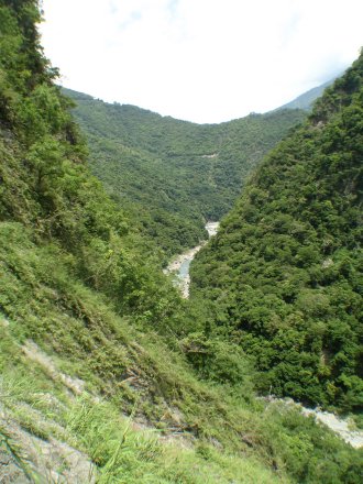
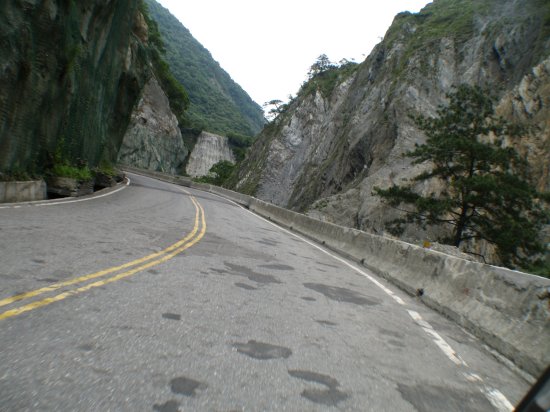
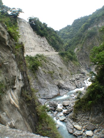
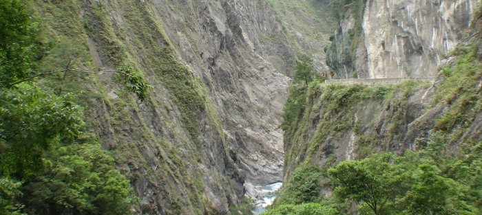
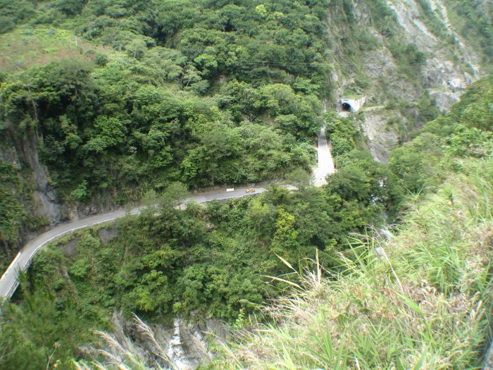
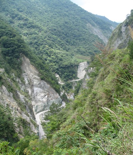
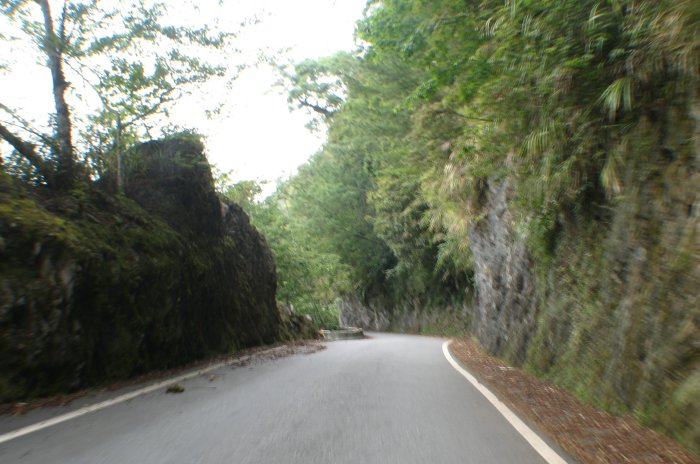
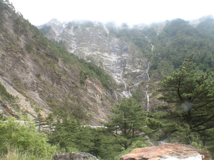
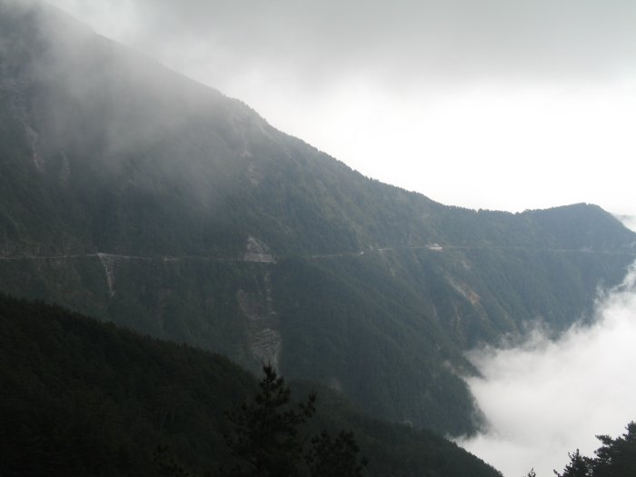
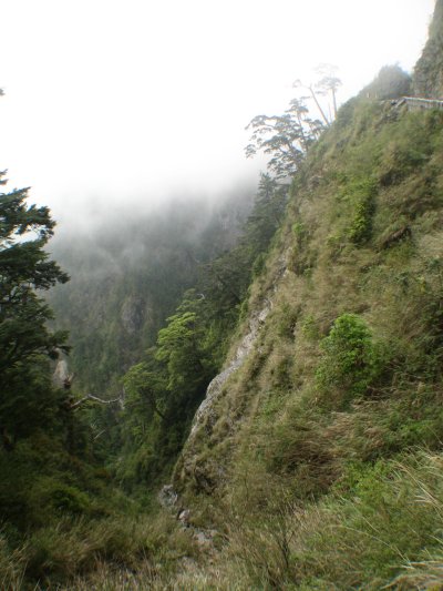
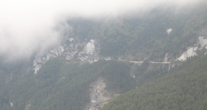
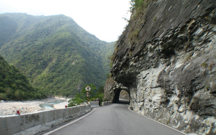
| The roadway is down near the river for the eastern portion of the highway but soon leaves the river and climbs the hillsides. |
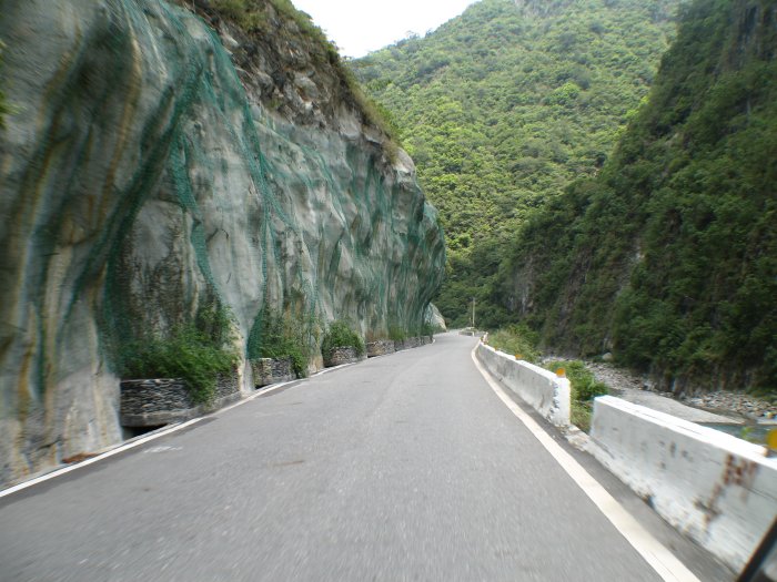
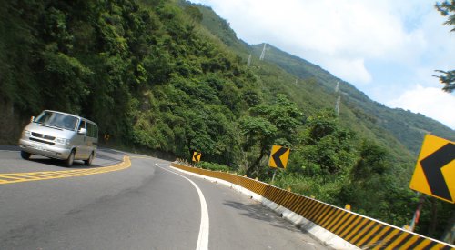
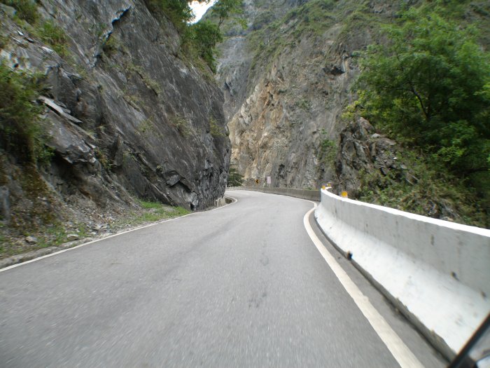
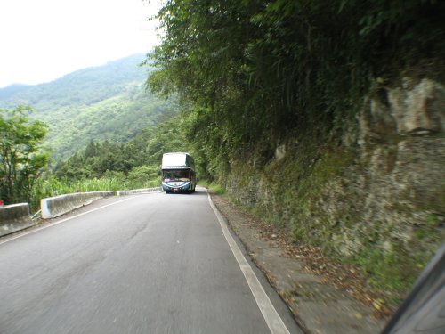
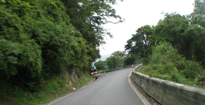
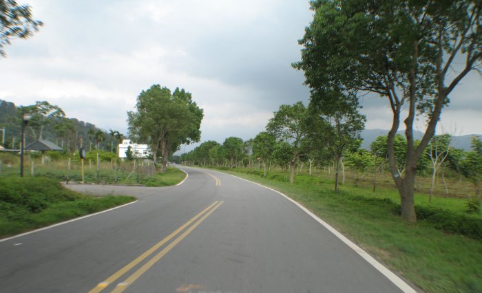
| For being what I would think would be a "major highway" it is small and empty of vehicles. |
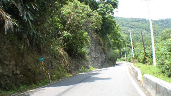
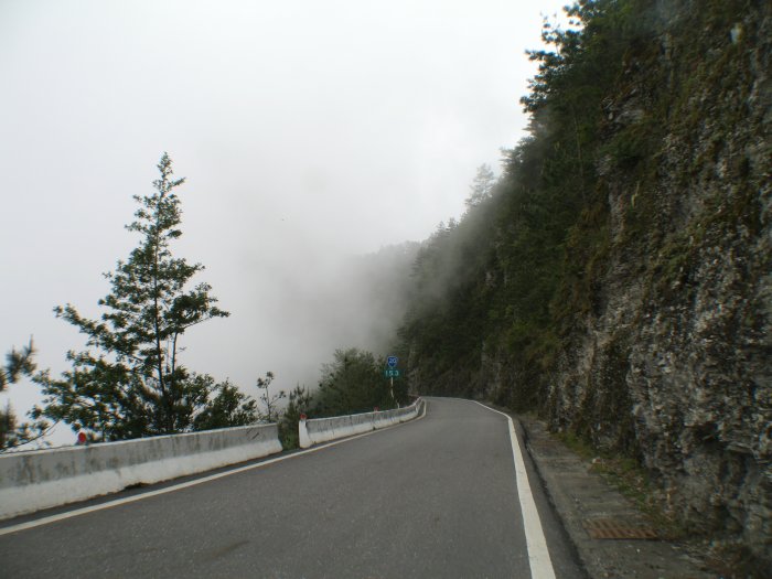
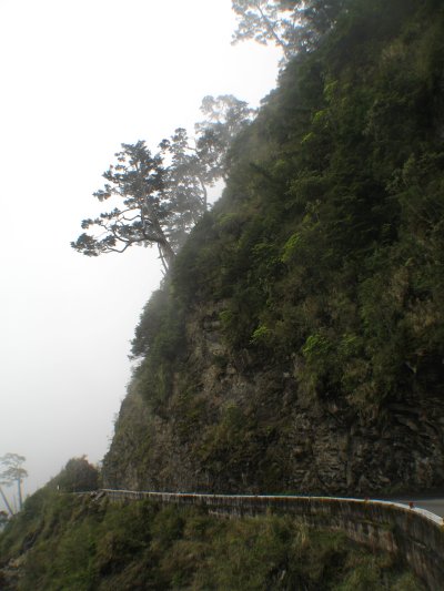
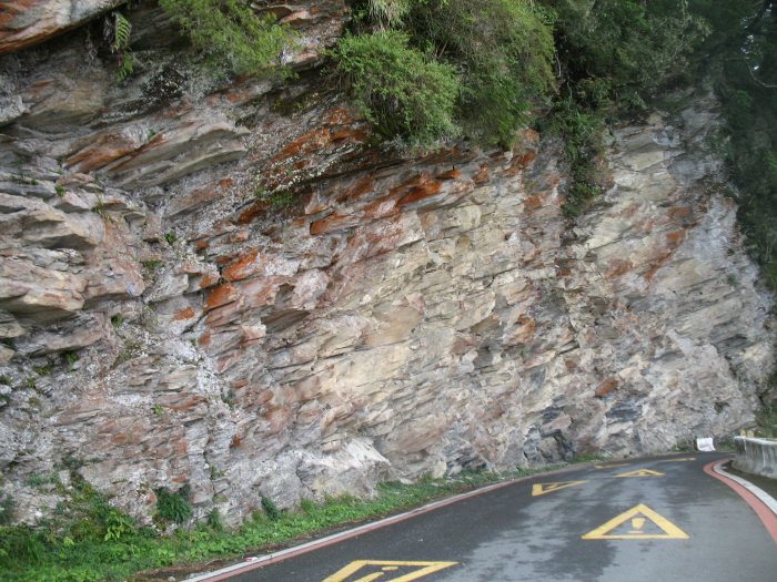
| Road cut along the hillside. |
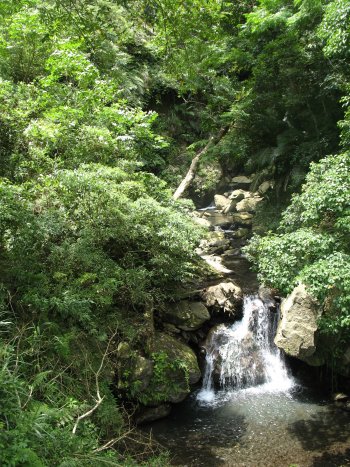
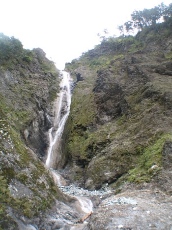
| Small waterfall |
| Large slide area - of course with the road crossing it. The sign, below, had written in the dust, in English, near the top edge "Smile. Beware of the super spiders." |
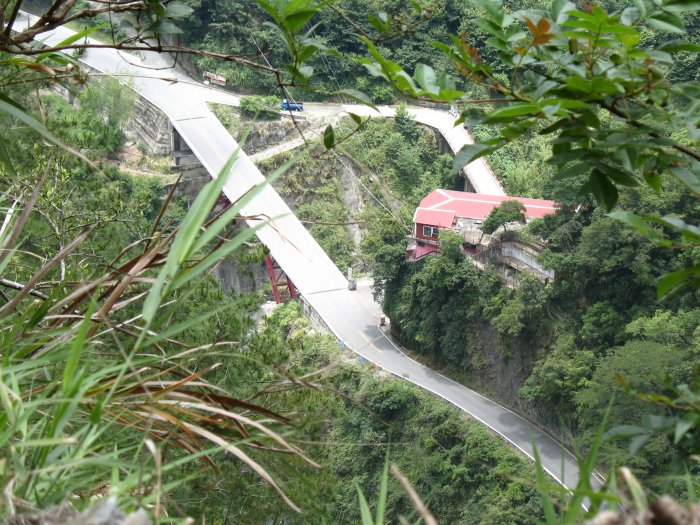
| When the "old bridge" is left in place you can then get a shot of the "new bridge". |
| Poch-marked roadway from falling rocks. |
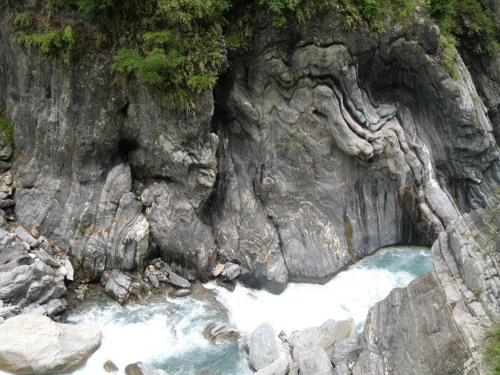
| Odd curves to the volcanic rock. |
| Roadway hugging the right wall. |
| Visible on the right is the old, washed out road. Behind, in the hill, is a tunnel. |
| The gold VW bug was ahead of me earlier on and then they turned back. It's in the photo. |
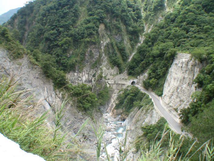
| The "new bridge / old bridge" from earlier. |
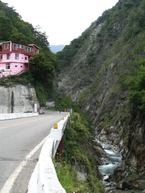
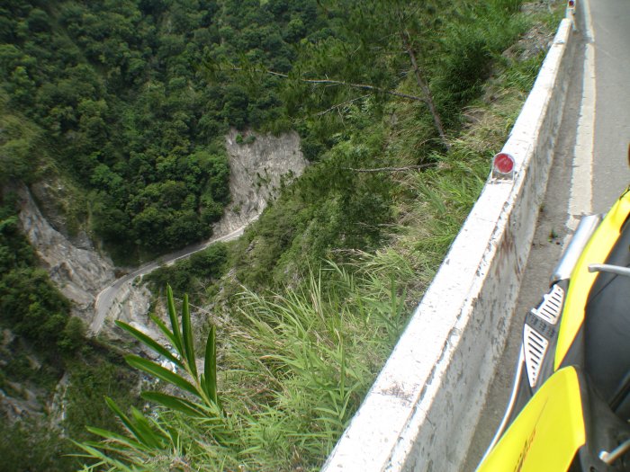
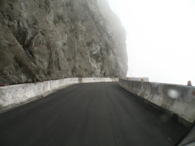
| Some of the edges did drop off quite quick - and some of the roadside guards were like this and were only a foot or two high - they don't give much "comfort" when standing next to them. |
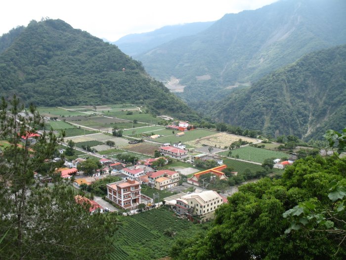
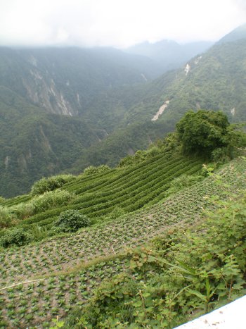
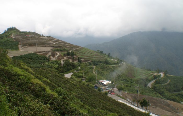
| Then, up in the hills, there's a community and terraced farming. |
| And another community. |
| Fortunately only a couple of these. |
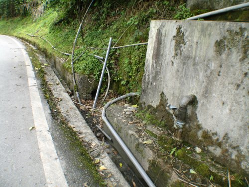
| Water supply pipes. Just poke into the side of the hill where water is flowing out. Done deal. |
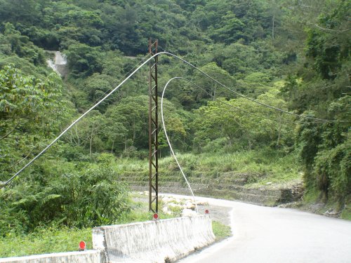
| And if you need to get "your" water supply pipe from one side of the road to another - just suspend it any way possible. |
| Even higher - more farming. |
| 3.5 legged dog. |
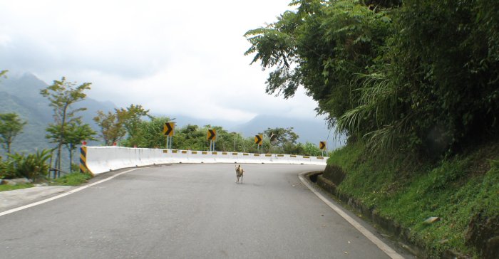
| There's another.... |
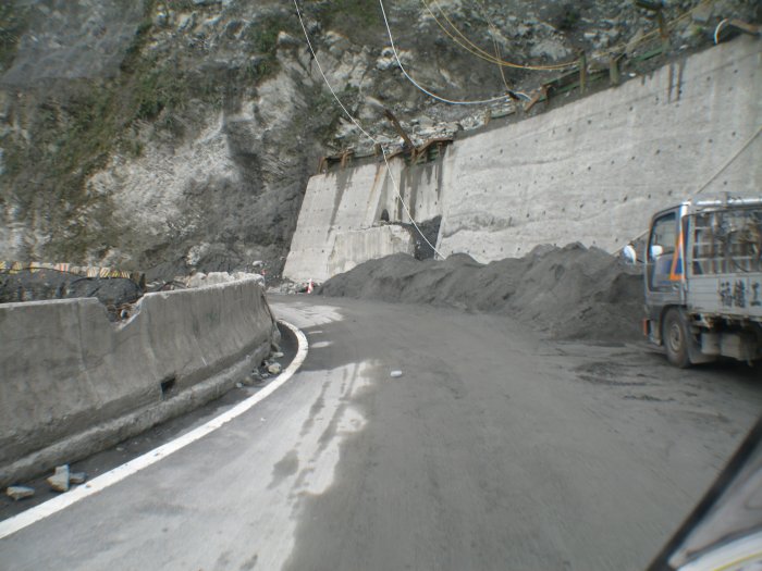
| Construction site - slide area. |
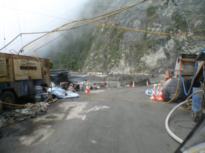
| Look at how battered those barriers are - I'll NOT stop here to take a picture. |
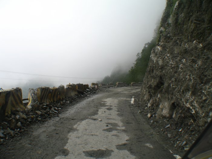
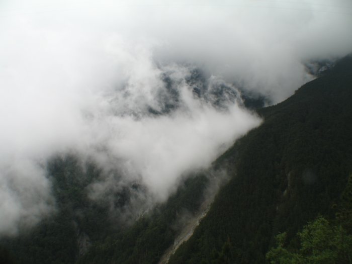
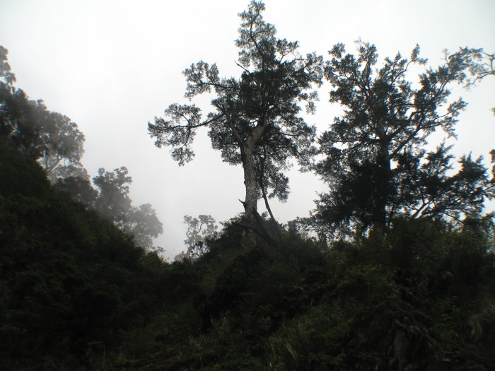
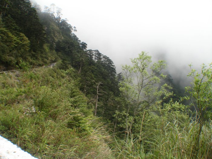
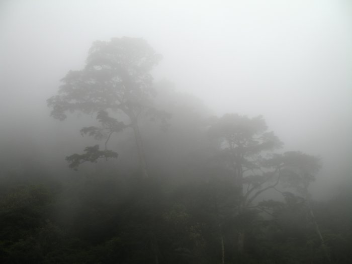
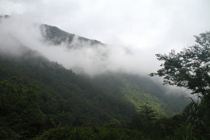
| Getting higher - starting to get some fog. It
started to become evident at about 5,000 Ft up that the bike was
lacking some power (due to the altitude - it was running fine). The
bike, and my riding of it, changed characteristics as I went higher. First it was simple - rotate the throttle to get the speed you want. Then it became hold the throttle at the 100% open setting "for a bit" to get up to speed. It progressed from that to longer stints of holding the throttle at 100% and just tapping the brakes to slow for some of the corners. I was starting to appreciate comments from others of riding a small bike running at 100% output. Finally things resorted to just sitting at 100% / wide open throttle (wot) and not even needing brakes for the corners. |
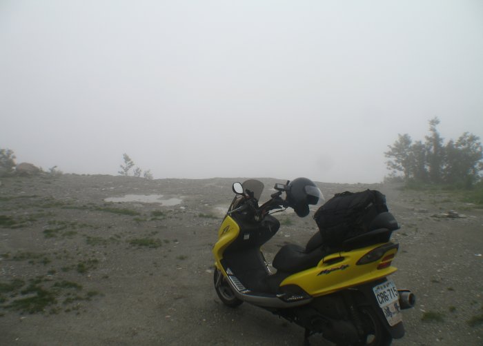
| 7600 Feet up - time to put on a jacket for some warmth |
| Then I came across this happy group. The ladies were sitting in the road while their driver (a guy) was taking a photo. I turned back and offered to take a picture of all of them - fine - done - then they wanted to take a picture with me - one with their camera and one with mine. A happy bunch they were! I'm sure the rest of their day was a good one. |

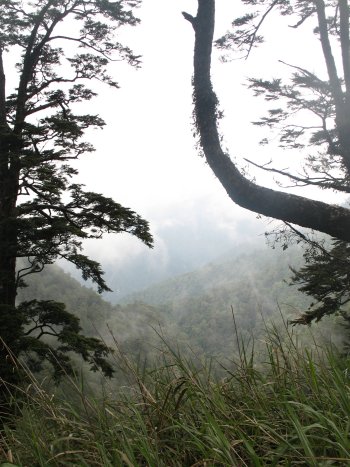
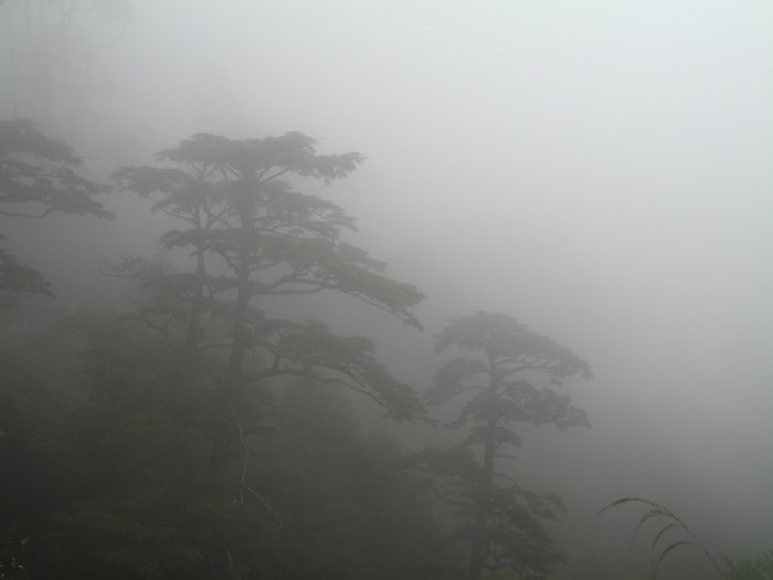
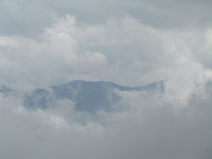
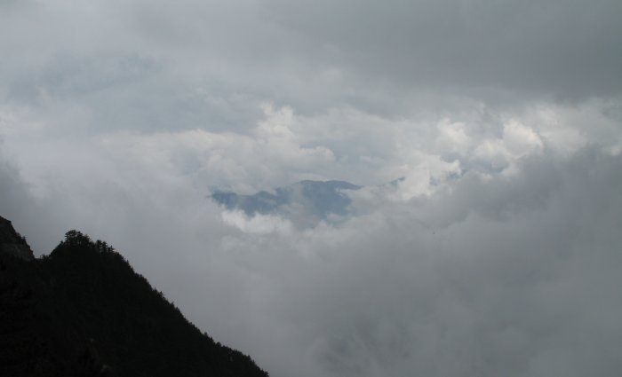
| Gett'n above the clouds. |
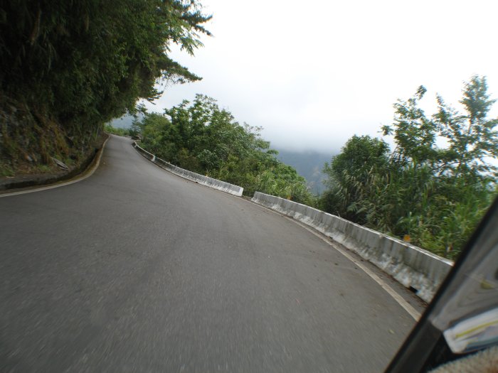
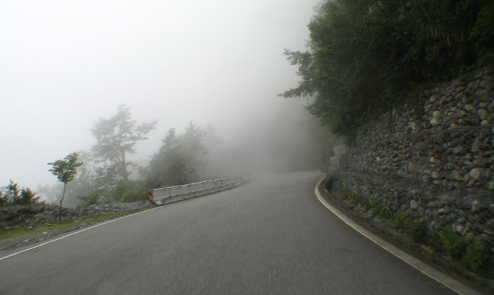
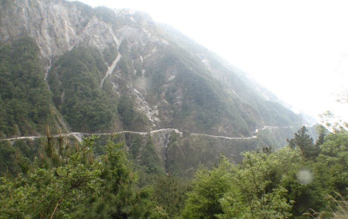
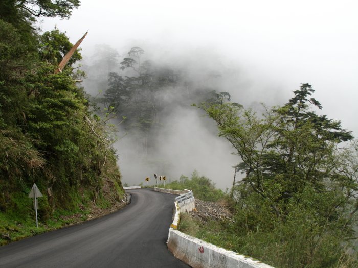
| A nice shot of the road - snaking along |
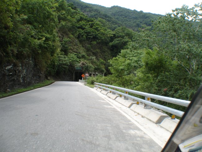
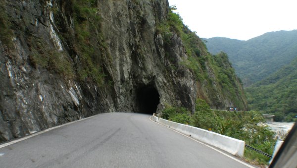
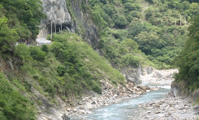
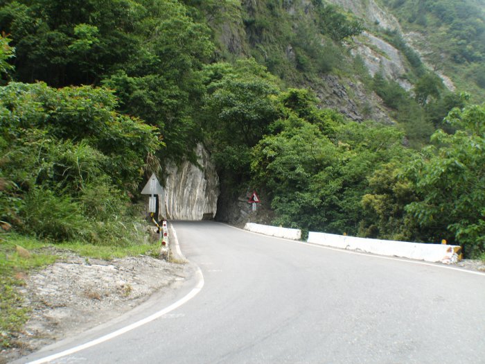
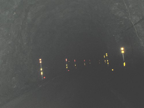
| Ok, just one photo of the inside of a tunnel. They were a bit odd going into - they're only one lane wide and many would turn so you couldn't see through to the other end (to see if another vehicle was coming). Just make sure the headlight is on, go slow - and go. I found out that trucks will (might?) toot their horn as they enter. |
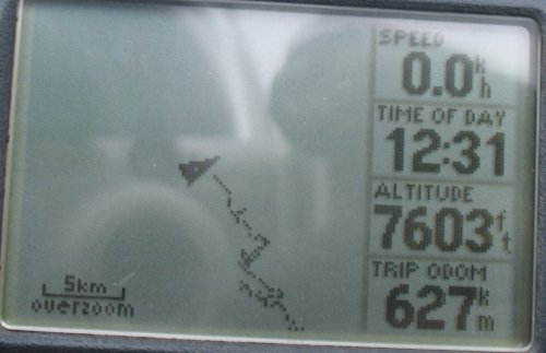
| I'm not sure if this is considered the summit for the southern cross island highway - but it might well be. |
| With the road markings - DO NOT DALLY HERE |
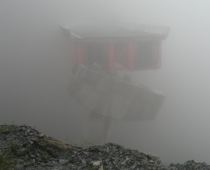
| The first time I passed by this spot the fog was heavier and it looked like some "building" was at the roadside. When I passed through the other half of this valley "U" I saw the other end of the bridge and hat the bridge was blocked off at that end. On this return trip the fog was lighter and I could see that the "building" was the broken portion of the bridge. |
| Here's one for the "odd signs" thread. |
| At the western end of the summit tunnel. |
| Up with the clouds. |
| So, from the eastern end of the summit tunnel I turned the motor off to see how far I could coast down..... The motor will stay off (with one exception) from 9000 Ft MSL down to the town of Wulu at 2500 Ft. There was one spot that flattened out where I pushed the bike 10 steps or so and one tunnel spot where I turned the motor on to keep moving. |
| I don't remember this being on the road when I passed by earlier.... |
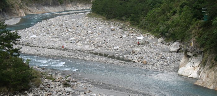
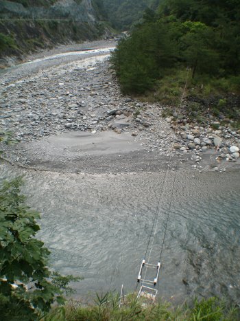
| Notice the "things" at the right edge of the photo. You might also make out the two red flags hanging over the river. There's a cable car arrangement crossing here. |
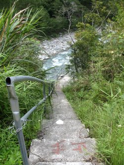
| There was a convenient spot, for a bike, to pull off and park so I headed down to see what was there. |
| I didn't go down to the cart - off limits (but unlocked). I think the power and maybe telephone utilities cross the river here. The suspended lines became buried lines at this point. |
| Back down and getting ready to make the northward jaunt. Certainly is one curvy line! Video Southern Cross Island Highway - eastern end to just west of the summit 2006-05-08-southern-cross-island-hwy.mpg MPG, 9.6 MB, 2 min 17 sec |
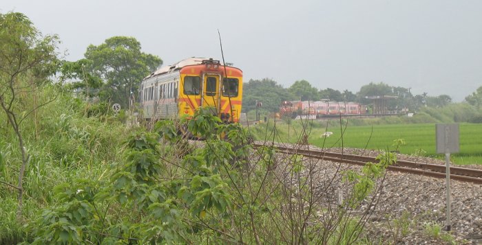
| Southbound train - self powered cars. No "engine" on this train. |
| As the southbound train passes the northbound train awaits |
I
took some video of the northbound train (camera didn't focus on it
well) and was able to grab just one photo of it as it passed up. Video Train 2006-05-08-train.mpg MPG, 1.5 MB, 21 sec |
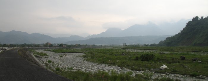
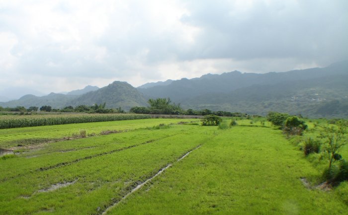
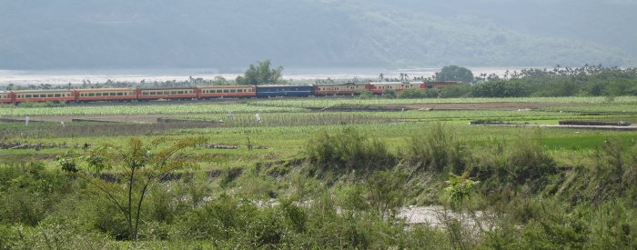
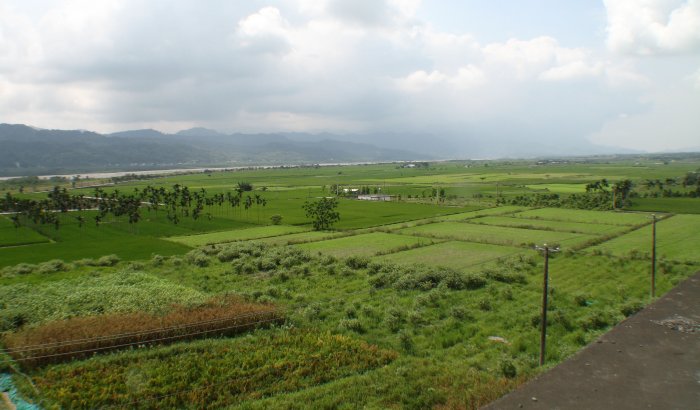
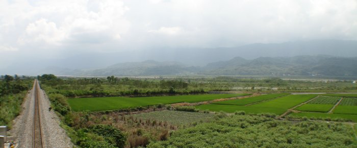
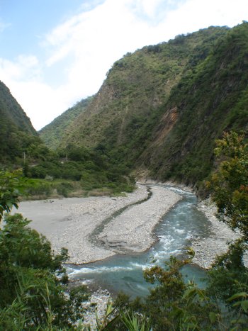
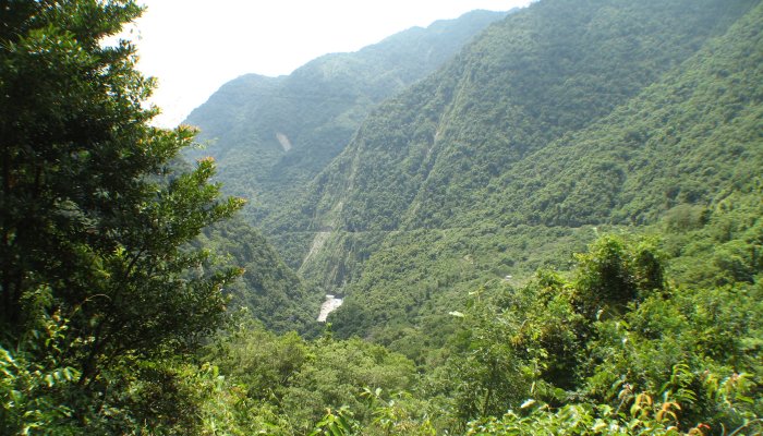
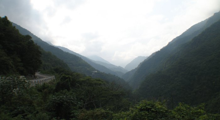
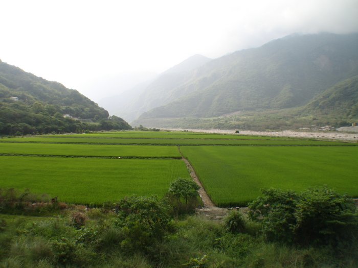
| With this photo you can get some idea of the "valley" I was riding in on the North/South portion of today's trip. The mountains to the left side are large while those to the right are smaller. Just over this smaller set is the coast. |