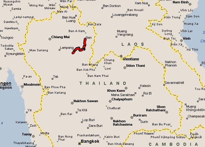
The
map shows a scenic gorge near my northward route - a sight to see! If I
were to by pass this sight and stay on the highway it would be like
cutting from the bottom left corner of a box to the top right corner -
the direct route. Taking these side roads I'll travel across the bottom
of the box and then up the right side. The jump up the right side
contains the scenic gorge.
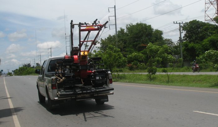
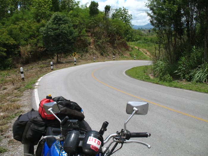
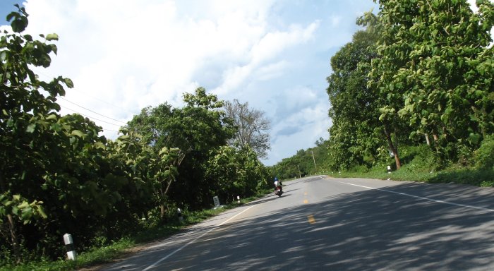
I found the first turn easy enough
and enjoyed being off of the highway and onto a little used side road.
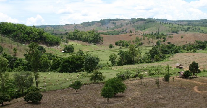
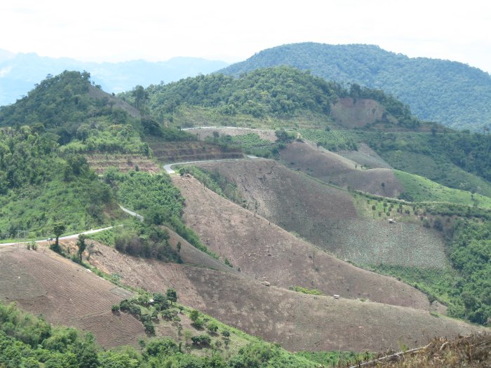
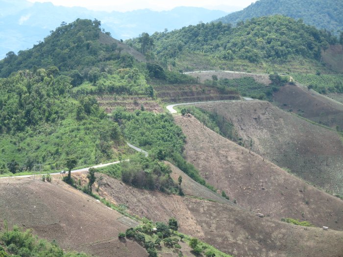
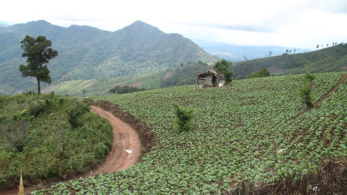
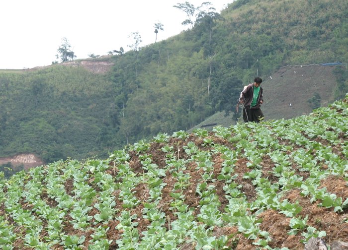
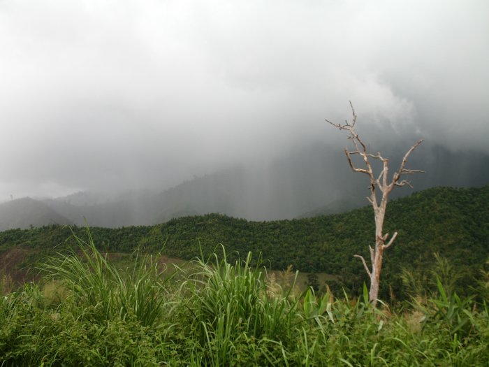
The terrain is starting to become hilly / mountainous. With that the
road started to climb. And climb. And climb. I passed one, maybe two
vehicles going in my direction and none passing the other way. The
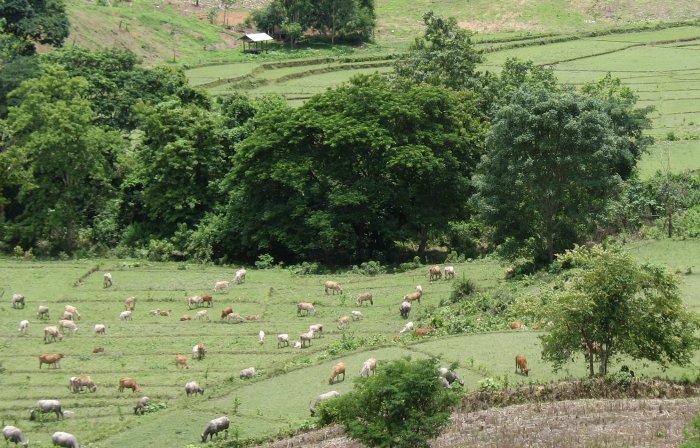
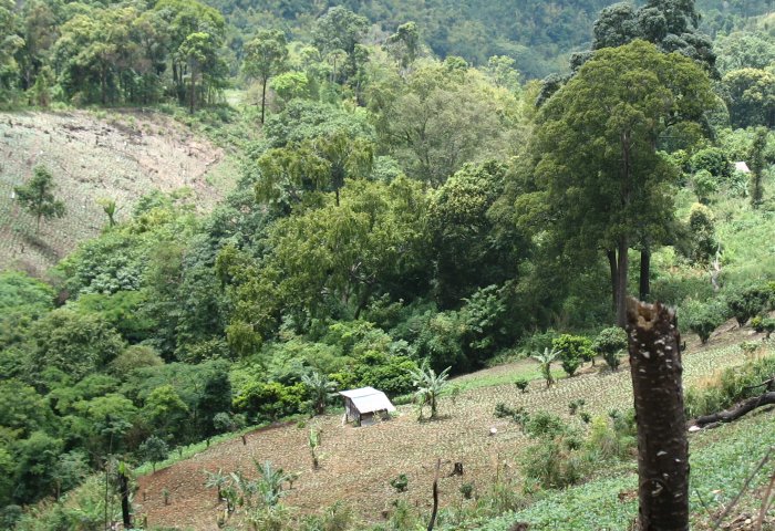
scenery was of mountains and farmers - they were planting crops on the
steep slopes - slopes that had been stripped of the original vegetation
to make way for the crops. If you heard the news lately of the mountain
landslides in Thailand I can now see why. Vegetation is stripped
and maybe an odd tree or two will be left. Rubber trees are popular as
are low crops.
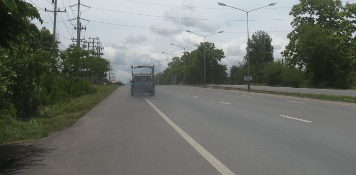
This eastward road (1216) was to take me to Na
Noi where I should look for a northbound road (1026). Coming back down
the mountain I started to see some villages and kept my eyes open for
any road to my left. I passed a couple suspect roads but since they
weren't signed I figured I'd move on a bit. If I missed the desired
turn the current road would take me a bit out of my way but I would
still end up where I wanted to go - so no huge issue of missing the
turn - except that I would miss the gorge.
Passing through a
village that could have been Na Noi I turned about and went back to ask
directions. Stopping at an old gas station several were sitting about.
To some, pulling out the map and showing it to them helps little - but
asking town names - verbally (and with different pronunciations until I
pronounce it the way they say it) - I can figure out where I might be.
Saying Na Noi and pointing to the ground and pointing "over there" they
came back and said Na Noi and pointed down - here. Nan - over there.
Great.
If this is Na Noi - where is the intersection? Well, they said Nan is
"over there" so I'll continue in the direction of "over there" which
was the way I was headed anyway. Perhaps my desired route is a small
one that nobody takes. I was anticipating taking the "other" route at
this point and missing the gorge.
Back on the road and
processing a few kilometers east for now the third time. I passed one
side road - unmarked but it was the same class as that I was on (center
stripes and side stripes). I turned back to look at it but held off.
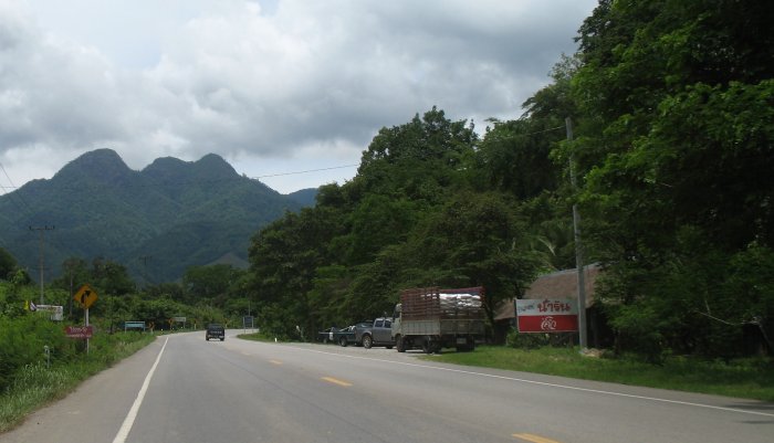
Doing another turn about and continuing on I came over a hill - Na
Noi! Three fuel stations, a fire station - a TOWN. One that had an
intersection in it that was marked with my desired road. Cha Ching.
No cutting it close on fuel - no missing my desired route.
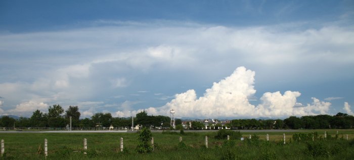
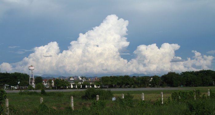
While
I should be able to make Nan on this tank I filled up anyway and headed
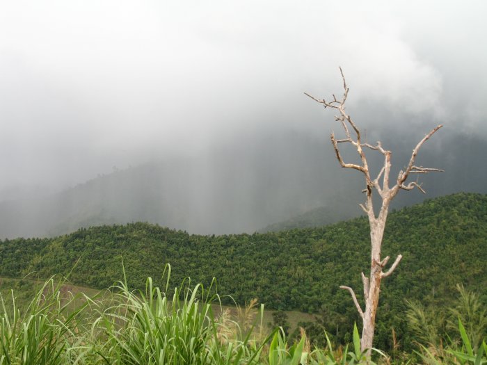
out. The roads were dry (I did have the rain clothes on from back in
"the other Na Noi" where it was showering) and the sun was shining
with white cumulus clouds overhead.
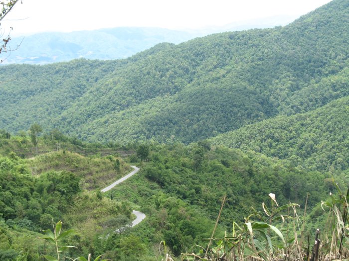
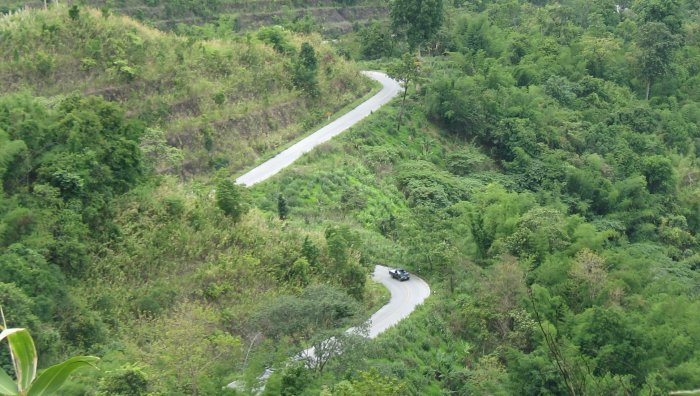
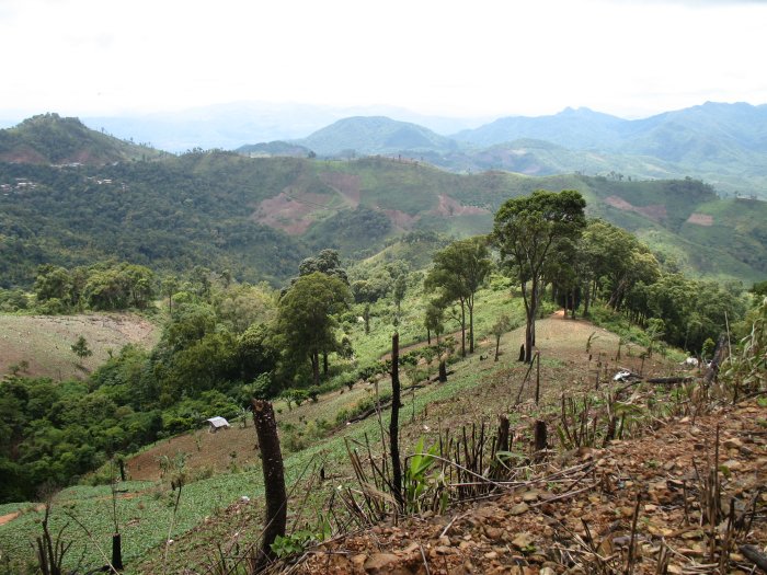
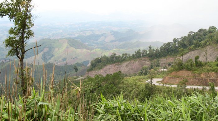
The road ended up being
busy but not overly so. It snaked in a valley with close hills and did
a fair bit of twists and turns. Dry, decent surface, moderate traffic -
a fun road to twist along with. The southern section - closer to Na Noi
- is the better part as the northern section became a bit more
straight. I don't know that I'd list it as a big scenic gorge
attraction though - but it was a nice road through a somewhat tight
hilly section.
Soon I would pop out on highway 101 and trek up
to Nan. My plan was for Chiang Rai but when I saw a sign that said "270
kilometers" I looked at the time and said - tomorrow. It was a bit
early yet - 4pm - but I couldn't make that distance on second class
roads before dark - and didn't want to miss the scenery. |