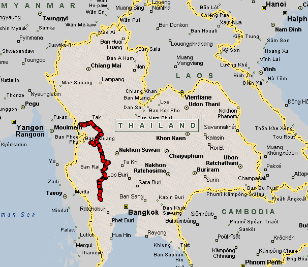
Mae Sot to Kanchanaburi, TH
| Waking up and checking the weather - the rain
has stopped and the ground is drying. Down at the bike - packed and
ready to roll - the rain starts again. I suit up and head out. The rain
doesn't last long and shortly I'm out on dry roads with the rain jacket
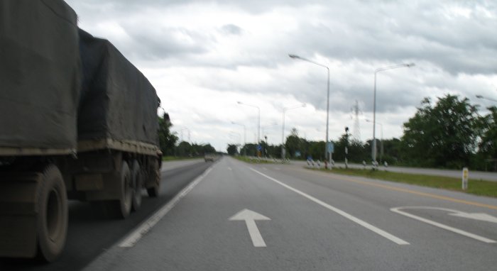
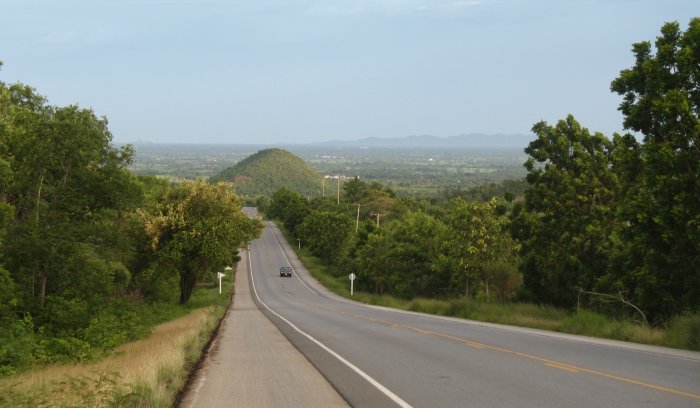
unzipped and flapping on my shoulders. The first segment will be a hill hop - lasting about an hour - between Mae Sot and Tak. At Tak I'll head south on highway 1 about an hour before veering off to the rural two lanes. I did a deviation, more on it below, and after that the trip would be mostly flat for the remainder of the day. Hills to my left and right with longer straights separating the curves and minor elevation changes. Slowly the hills started to give way to "mounds" and oddly the road came to the edge of the plateau I had been riding on. I had no idea it was a plateau - it just seemed like flat area dotted with hills and mounds. I went around one corner and came to a drop. While the camera did a decent job capturing the image of the drop and the lower, uniformly flat area ahead, I could see a bit more than the camera and could see that this lower flat area was vast. Daylight was running low and the stretch to the destination was about 100 kilometers (62 miles) - about an hour depending upon speeds. The road was a 90 to 110+ kph thing but unless I can use the high-beam light the low beam isn't strong enough for standard travel. The transition period where the headlight wasn't doing much and the eyes were having a difficult time had me traveling much slower. Thailand doesn't have deer [forest rats] like at home but it does have dogs. Not quite as severe should I hit one but it could spit me off of the bike. Dogs, in comparison to deer, are smart animals - so long as they see you they avoid your path. The only times I've had dogs cross my path would be if there was a fight or other important pack gathering on the other side of the road - those points have them focused and oblivious to all traffic as they dart across. Later on, a pickup with good lights, came up behind and I moved over to allow their easy pass. With their lights I kept in step and found they would process the same route as I. Down in town I came abreast and gave a thumbs up. With a smile they did the same (I think they were a bit surprised a motorbike could keep up). Hotel choices are ample in this tourist town. So are karaoke spots. The hotel I chose had two outdoor karaoke spots way too close. Earplugs cancel high frequency well enough but don't do much with the low bass sounds. 2 am they called it quits and I found sleep. I paid for two nights - will have to see about a one night refund and find a quiet hotel. |
This image can be mentally applied to the "map" views below.
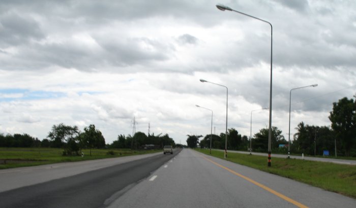
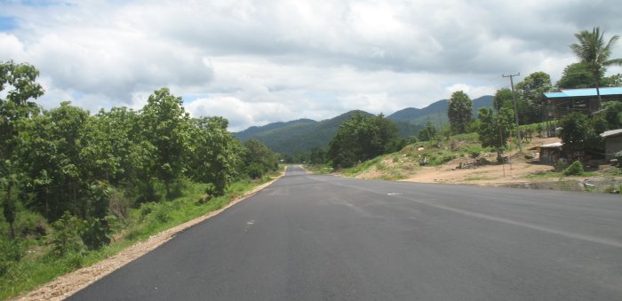
| I've kicked up and over the hills from Mae Sot to Tak and am now heading south on the highway. I could take the highway all of the way - but why - it's not too scenic. There are ample "two lanes" just to my right that will do a reasonable job - with better sights. |
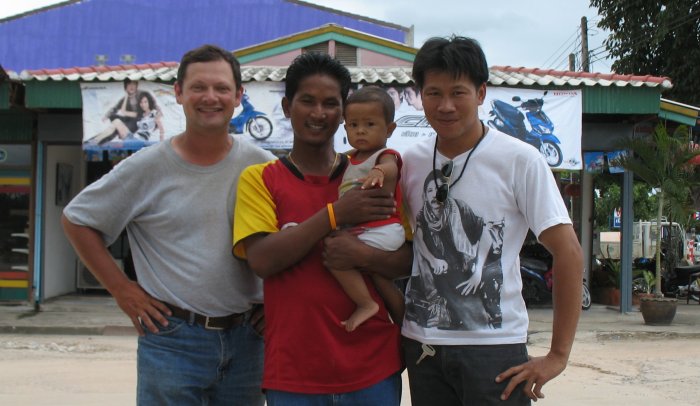
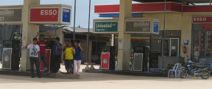
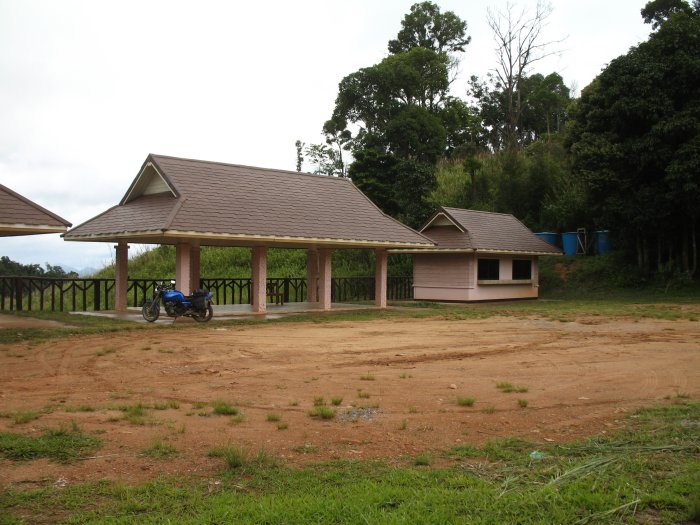
| Fuel stop. Most of the stops are typical
length - just long enough to get the fuel into the tank. Some, like
here, might take an hour. The camera and GPS on the handlebars bring
forth interest and questions..... Somsak Chimchawee and Anurak |
| Rolling out I turned for one overview camera shot. |
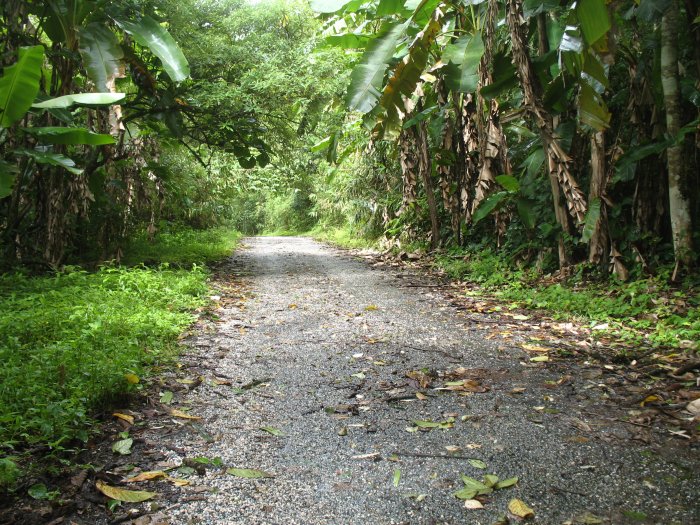
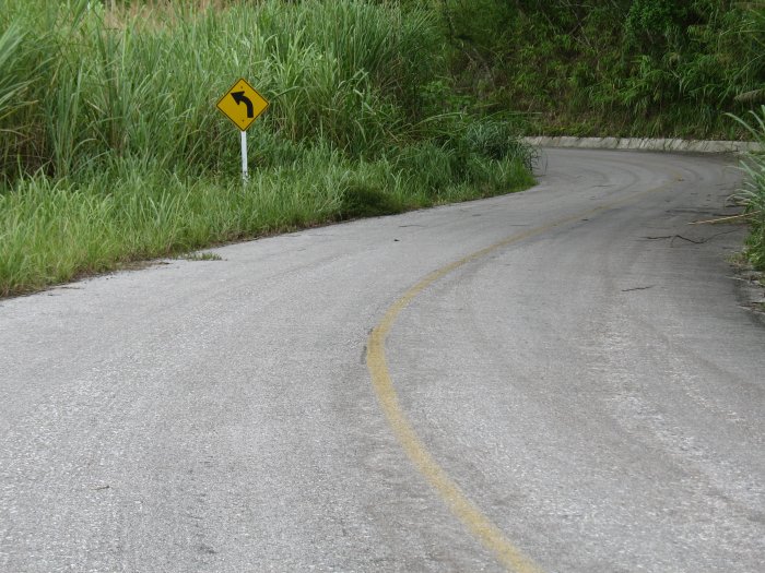
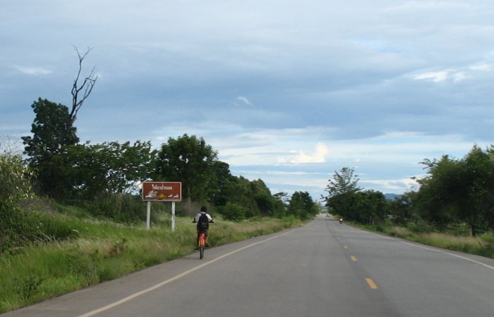
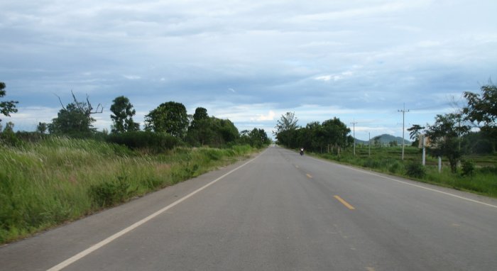
| Rural two lane - MUCH better than the highway. |
|
A bit about the days routing choices, a twisty possibility, and the two maps I'm using....
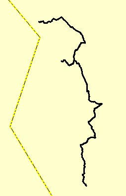
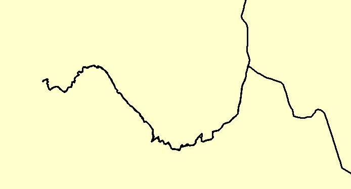
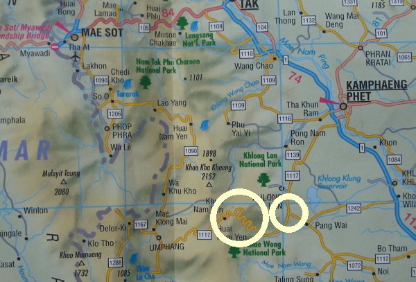
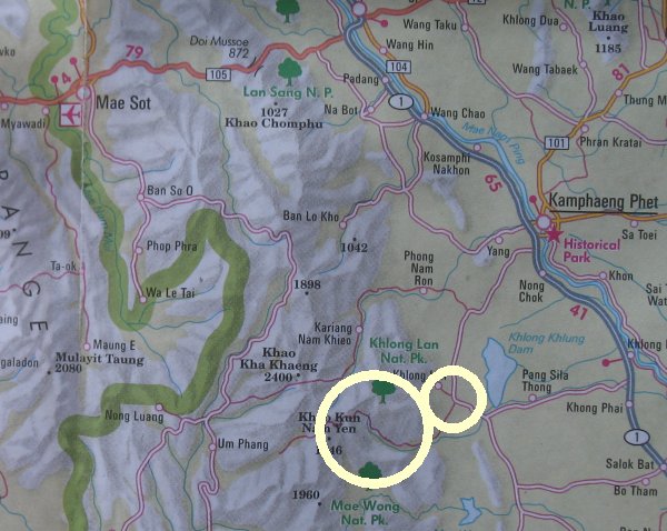
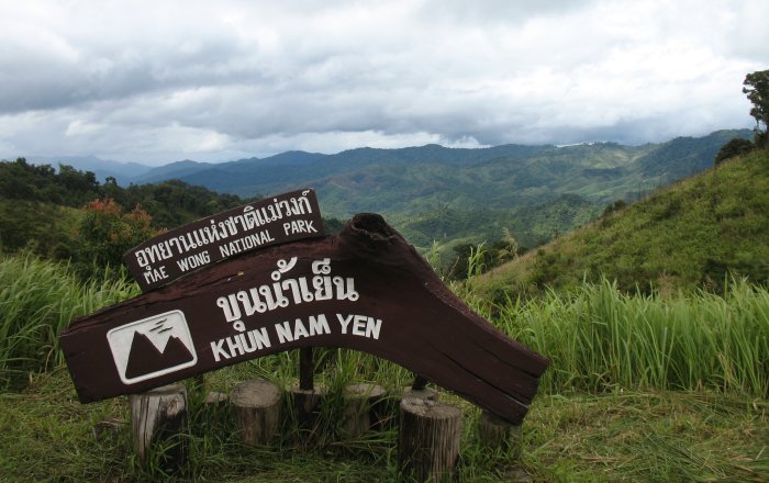
A "twisty bit" on #1117 (of the Berndtson map) catches my eye... It is circled (big circle) in both maps - below. The route would start at Mae Sot (top left) and head out the bottom right of the maps. If I only had the Berndtson map I'd choose 1090 south out of Mae Sot to the town of UmPhang and at UmPhang head east on 1117.... But I have a second opinion with me - the Nelles map. The Nelles map does not show a road heading east out of UmPhang - hmmm. I'd better play it safe and simply take the primary roads - 105 east out of Mae Sot and 1 South from Tak. Near Kamphaeng Phet I'd jump west a bit and get onto the secondary roads. I found 1117 easy enough - well signed on Hwy 1 - so I figured I'd just "keep moving" on 1117 until I got to some twisty mountain section. When I had enough of that I'd simply do a u-turn, head back through the twisties and turn south onto some unknown road at some unknown intersection. Look at the maps - you'll see what I mean - the smaller circle on both. There is no specific road number (1242? 1112? 1072?) on the first map. Perhaps the town name of "Pang Wai" would be listed. Take a look at the second map - Nelles - and look at the intersection - even less info - no road numbers and no town name. It's an adventure - right? RIGHT !! Berndtson map Important in that it lists road numbers - though I am finding its representation of roads & intersections to be incorrect. |
|
Nelles map
Provides a more accurate representation - though lacking reference names for most secondary roads.
|
| So, well, I just kept
"following that roadway that I believed to be 1117" - and I came to a
national park entrance. A couple parks are listed in the area - but I
didn't expect a named road to have to pay an entrance fee. I realize
that 1117 might be a dead end thing - I kept wondering if I
was on the correct path. Should I enter the park? I did - what the
heck - why not see what a national park offers. A big question mark
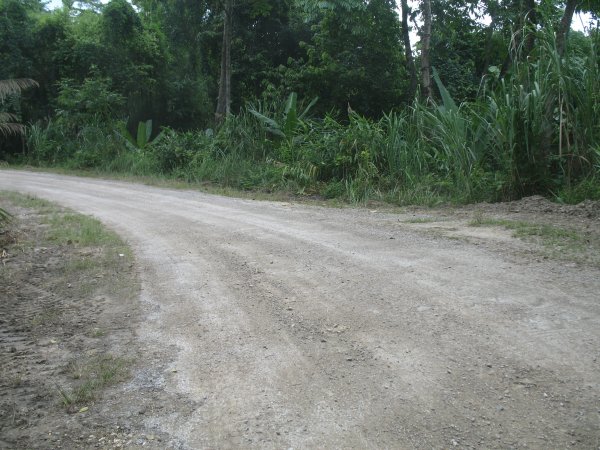
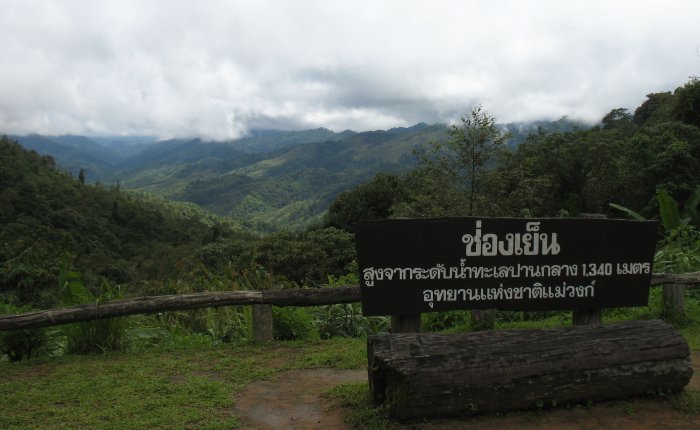
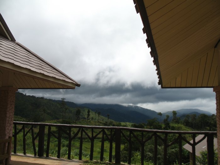
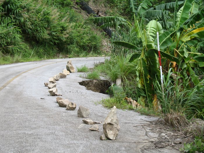
kept nagging me. Paying a 200 Baht entrance fee at the first gate (3 or 4 employees) and stopping at a second gate for directions (another couple employees) I was shown where the visitors center was. There more employees came out to show me some maps and their park. They asked if I would be hiking and staying overnight - no, summit roads?. Showing me the only summit road they said that it would be "38 kilometers" to the summit. They asked to see my entrance receipt (from the first gate - several kilometers back) and wrote a pass for the second gate to allow me to the summit. The big question mark was now kicking me fairly hard. Did I want to take the road all the way to the summit? 38 Kilometers could take a while depending upon the roadway. I don't feel right turning around right away - or by not going to the second gate - my hosts somewhat anticipate me traveling up. OK, I'll continue on - at least far enough to see what the road offers. I could turn around in 15 minutes and in 30 be back at the second gate and visitors center - at least giving their park "a try" and not burning too much daylight. The roadway will flip from new, wide asphalt; new, narrow asphalt; old asphalt in poor condition (the road crews were preparing it for the new layer); reasonable old asphalt; and narrow, overgrown, nature littered roadway. This is a section of old asphalt that was turning to gravel in the corners. |
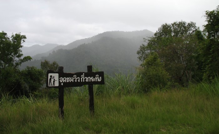
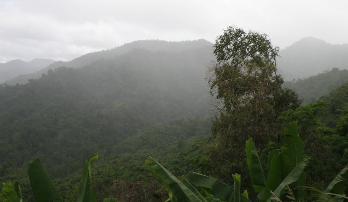
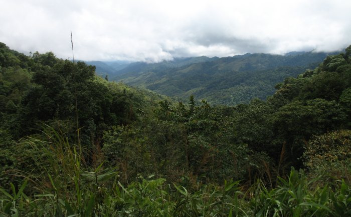
| A vista point - with the question mark still kicking I see rain close at hand.... The road is reasonable enough - scenery and surface - that I'm still continuing upward. |
| Twisting about looking back up to the bike - the touch of blue peaking out. |
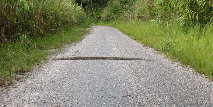
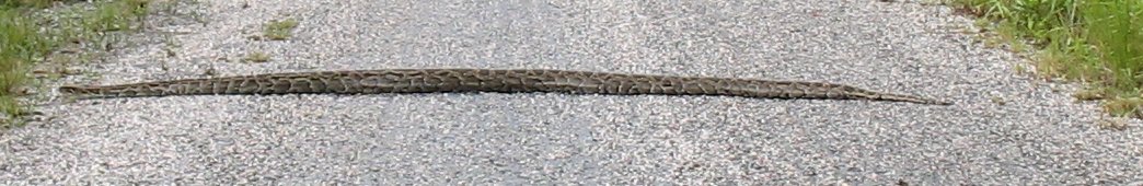
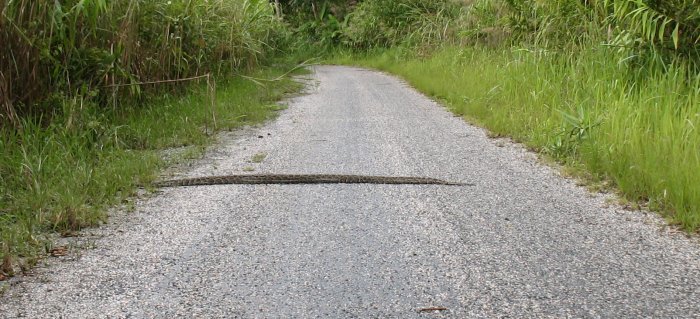
| Note to self: Try to avoid sticks laying in the road. Rolling over one
it came up and smacked me a good one on the top of my right foot. My
helmet and the loud muffler did well to kill what my mouth let out. Coming upon another "stick in the road", and figured I'd work to avoid it. As I passed close I noticed that it wasn't a stick at all - it had stripes, spots - and was moving. Turning about for a photo.... a 5' snake crossing the road. A bit for the "incentive bank" for me to stay on the roadway. |
| End of the road. Not quite 38 kilometers either (fine by me). I was "passing by" this vista point / office / lunch ground area and simply following the road. It ended at the edge of the vista point with a metal bar crossing the road and the it quickly looking like it would turn to a single track path. End of the line. U-turn, park, photo time. |
| The road came in from the left and close to the right of the photo it was gated. |
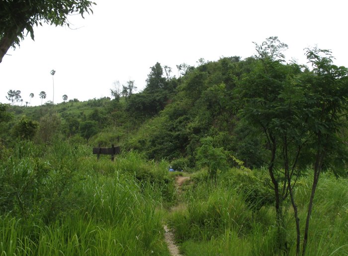
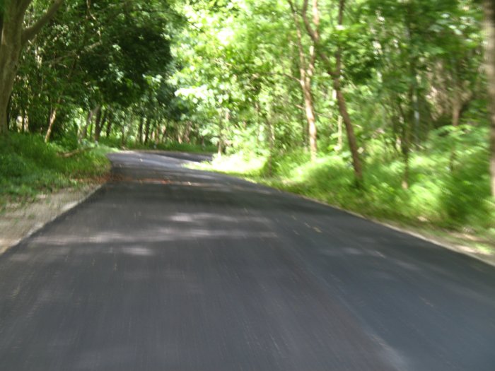
| One of the overgrown sections. |
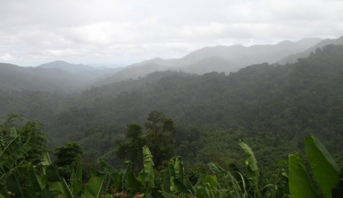
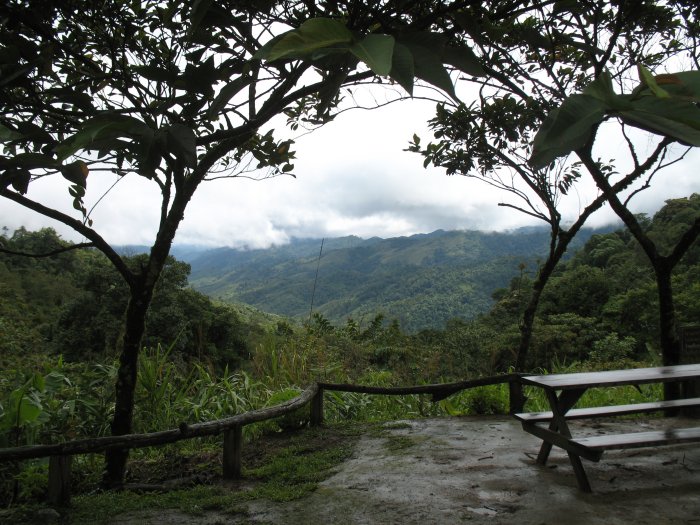
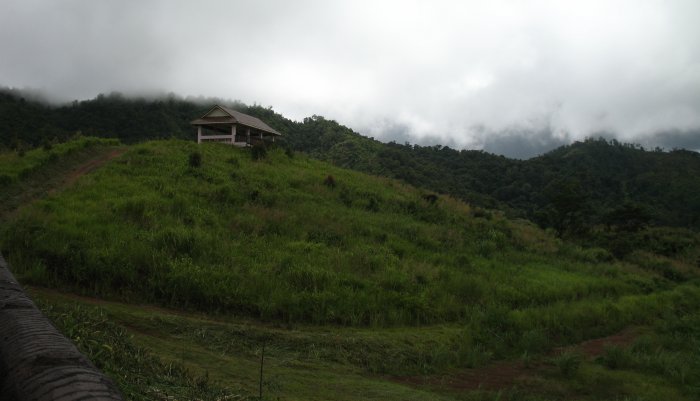
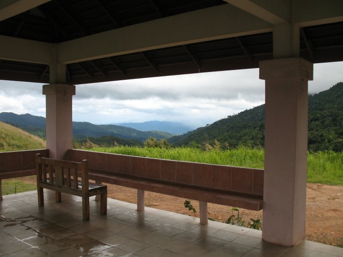
| One of the vista points. Nice pavilions, still in good condition, void of use. |
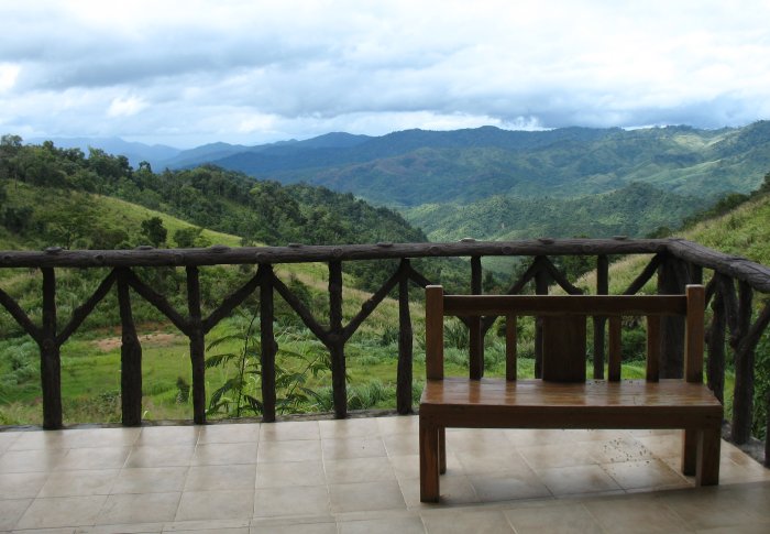
| Like in Taiwan, the "wood looking" railing is made of a hard masonry material. |
| Some of the "good old" asphalt. High growth at the sides kept the views to a minimum. |
| Getting down to near the visitors center - new, narrow asphalt. |
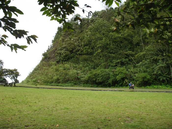
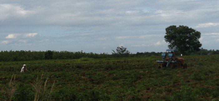
| Back out of the park and heading south on rural two lane - a rare sight - a four wheeled tractor working in the field. Also visible is a person, white, left, also working. |
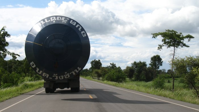
| Ah, well, you recall that I sometimes take
photos of things that most would either not pay any attention or would
not include in a trip photo journal. So with that tickle recall I
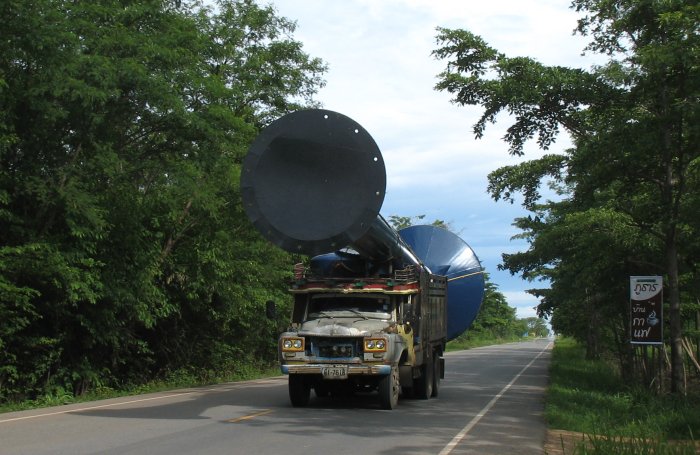
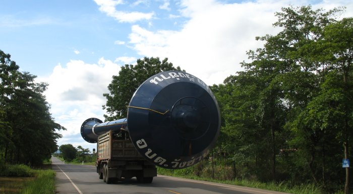
photoed several water towers back near Buri Ram. Imagine my laughter, head twist and clamping of brakes as I passed this sight!!! In the U.S. water towers are constructed in place. Apparently, at least for this size, they are "ordered up" from the factory and delivered "to your door". This is one of those water towers, pump units, pump tank all loaded on a single straight truck - bobbing down the road. |
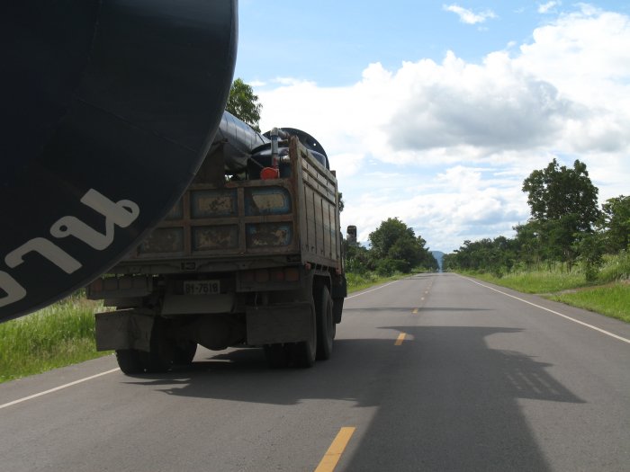
| I passed in the opposing direction, did a U-turn and grabbed these pix then zoomed up the road to stop and get more when they rolled on by. The driver and passenger were laughing (at me) too. |
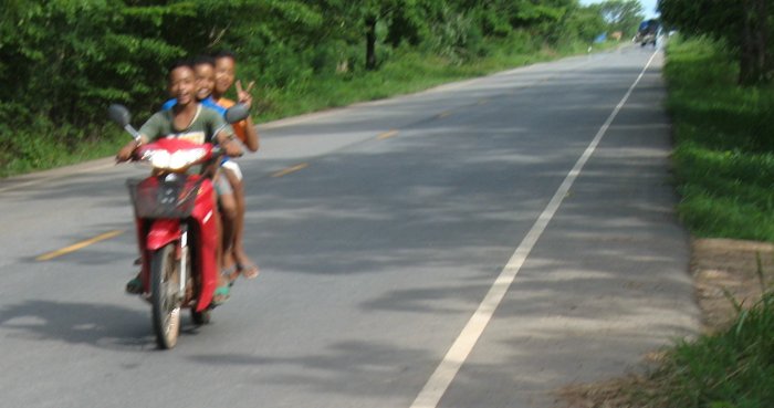
| These kids were rolling along with the truck (truck in the background) and understood me and the camera. |
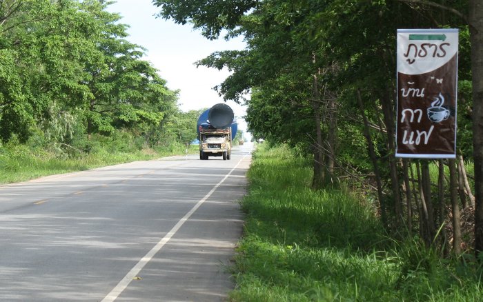
| One water tower please, oh, make that "To Go" |
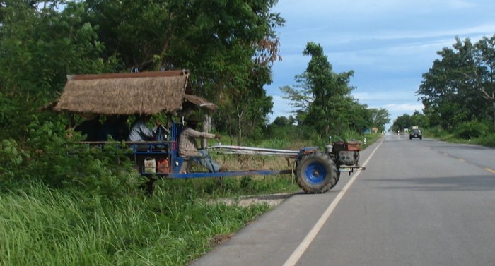
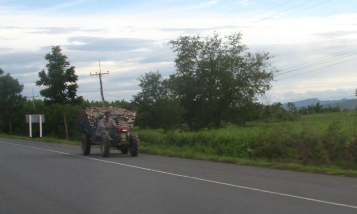
| One of the tractors - often used to pull wagons. This wagon had nice roofing for the passengers and driver. In a turn the driver has to lean out a bit with that long handlebar. |
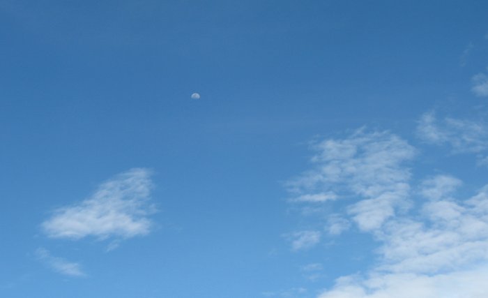
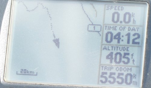
| The Moon at 4:12 pm. What is the U.S. seeing of it - anything? |
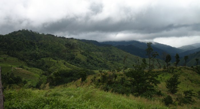
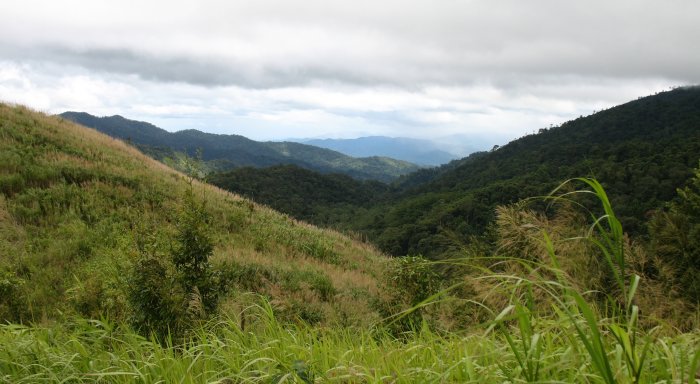
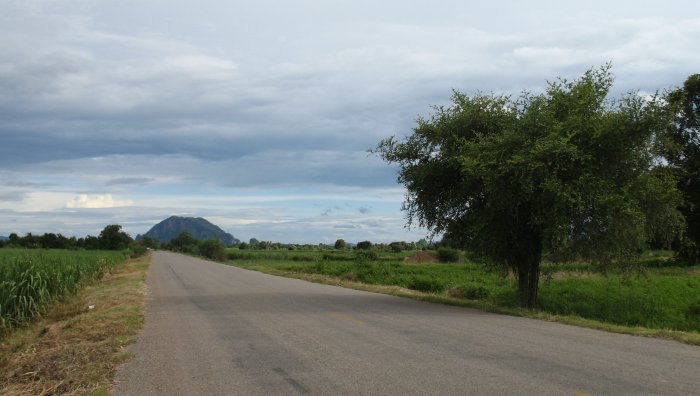
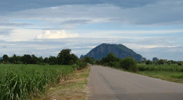
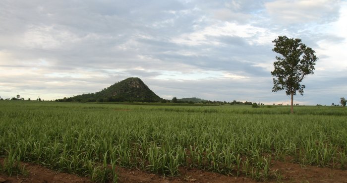
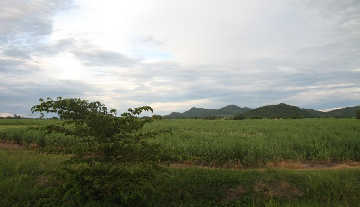
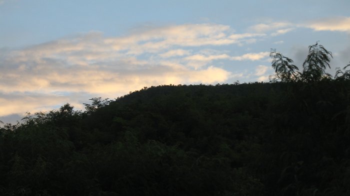
| "mounds" are more common. |
| Perhaps 10 kilometers ago I passed by a putrid smelling area. The building had a label to the effect of "anaerobic decomposition of human and animal waste with biogas". Oh, man - you do NOT want one of these honey's anywhere near your home. Take the pig farm if you have a choice. |
| Hauling goods to market. |
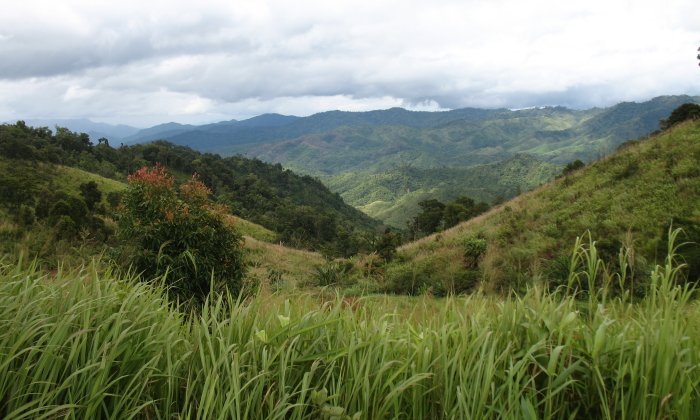
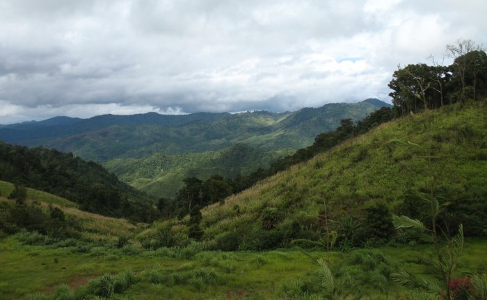
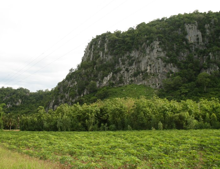
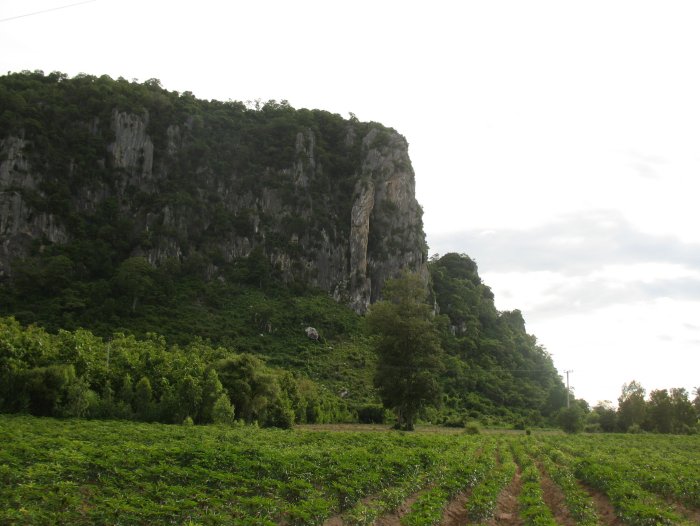
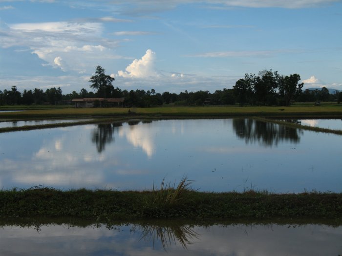
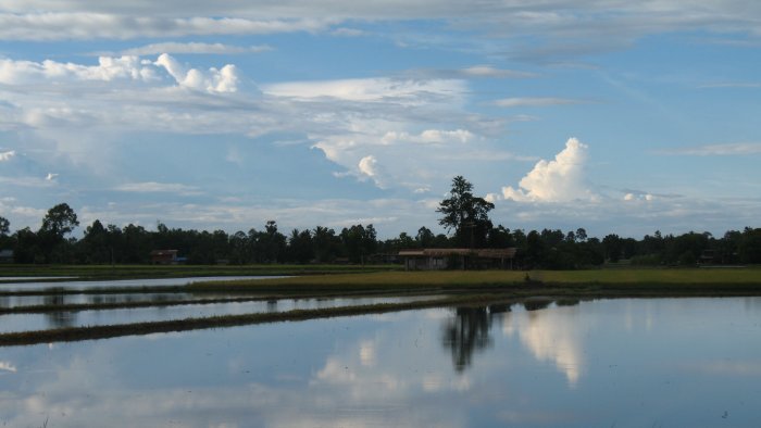
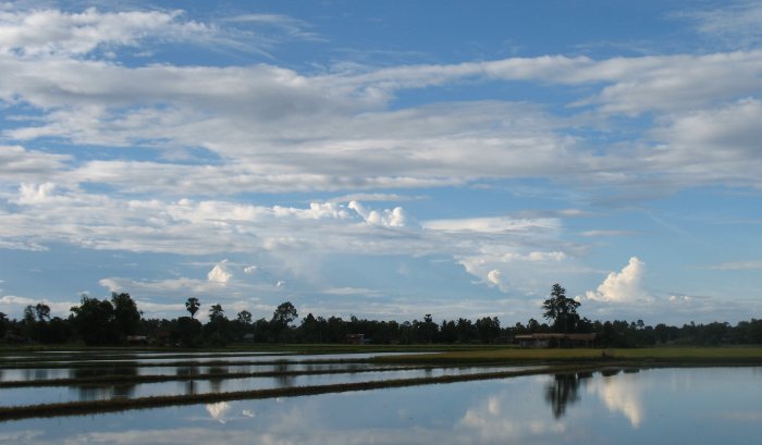
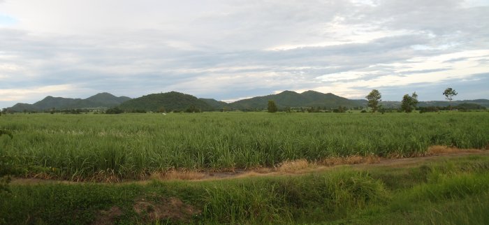
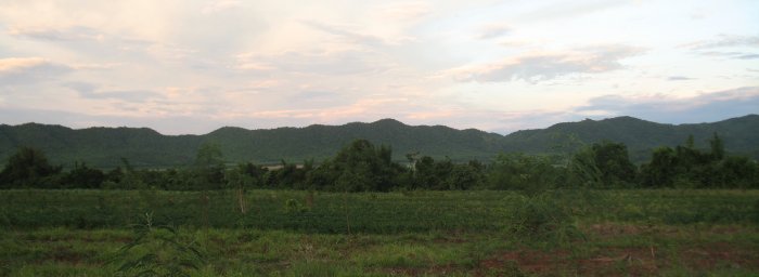
| Dropping from one plane to another. Mounds and hills visible here and there on vast, flat area. |
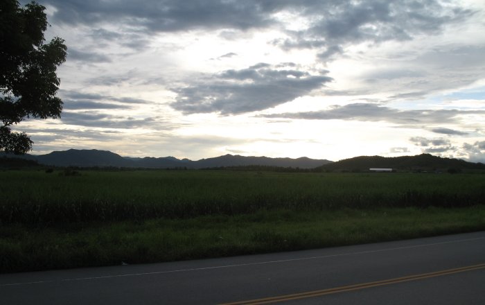
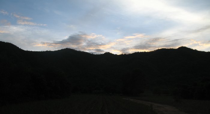
| The setting sun is making for cotton candy colors. |
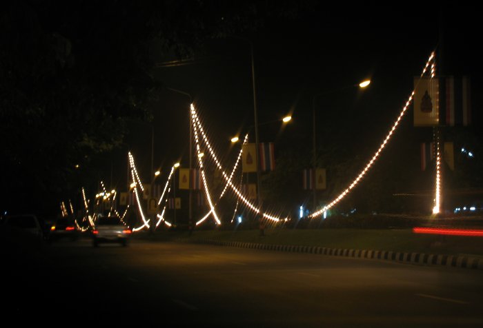
| Several towns have these light strings on their main street. |