With a record breaking warm day (75+F) I took to the bike.
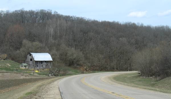
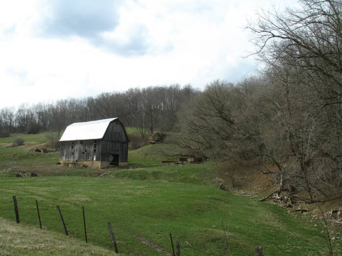
Pointing towards southwest Wisconsin and then jumping over the Mississippi for a bit of Iowa.
|
There
was no plan other than visiting southwest Wisconsin roads. I would
simply keep looking for a road that "looked interesting" and would take
it. No maps though the GPS would give a general sense of where I was
and in which direction I was pointed. County Road E from Boscobel to
Lynxville was particularly nice. Many of the roads were bumpy and still
covered with gravel / sand used for winter traction.
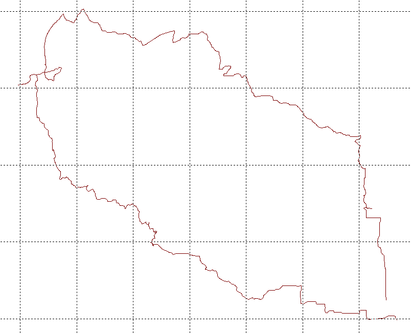
Deciding to travel the Iowa side from Prairie Du Chien to Dubuque I found the roads from Millville IA to Sherril and below Sherril to be decent - sweepers. Counter clockwise loop. About 350 miles in all. For a larger map - click here |

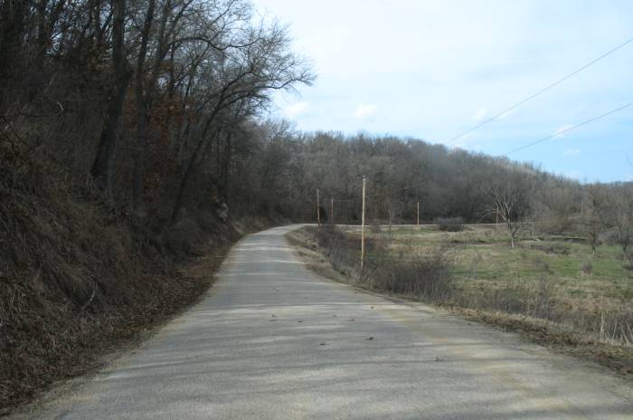
| A bare track |
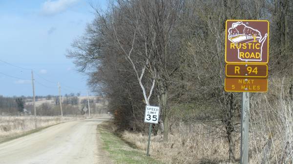
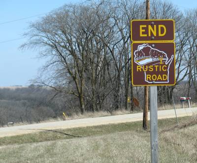
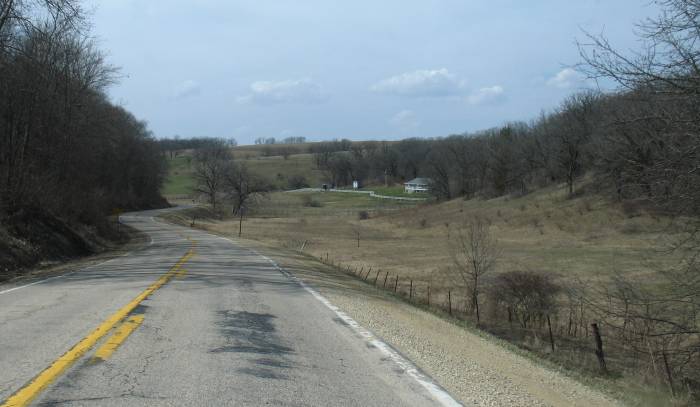
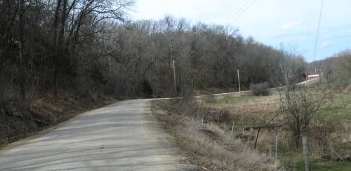
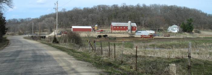
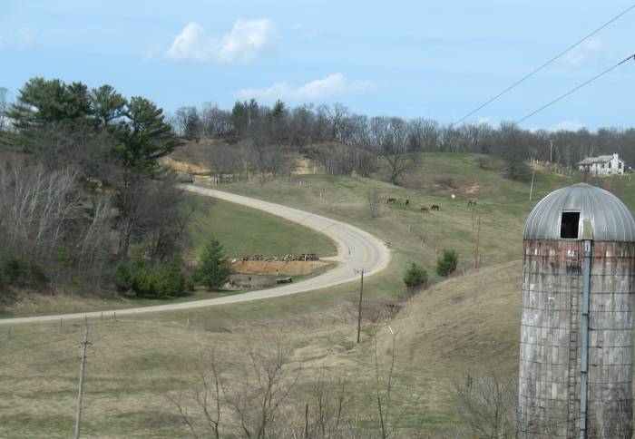
| Wisconsin has "Rustic Road" designations. Roads less traveled. |
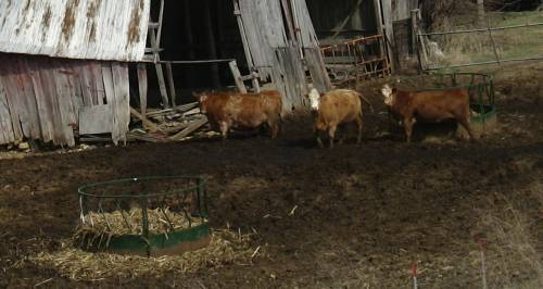
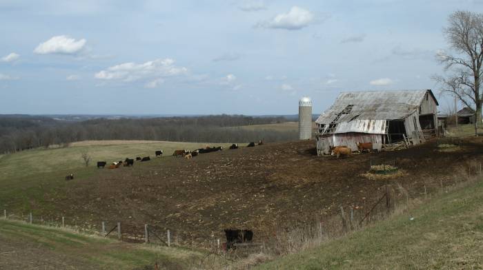
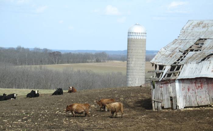
| These three didn't much care for my sitting and taking their picture - they started walking towards the rest of the group. |
| The first good view of the Mississippi River. |
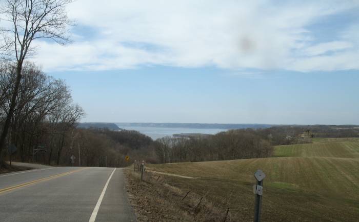
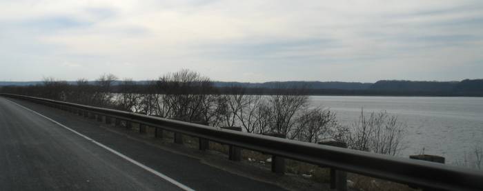
| Rolling south on the Great River Road. |
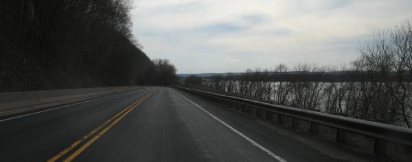
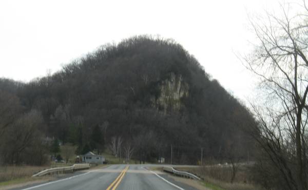
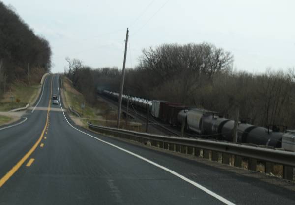
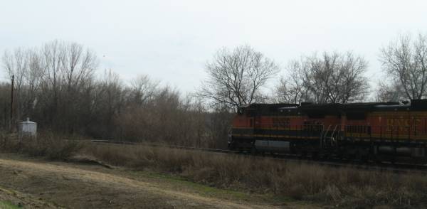
| The train coming into Prarie Du Chien, WI |
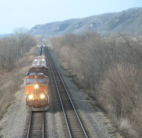
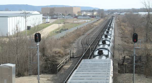
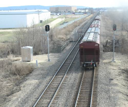
| Crossing the river to Marquette, IA |
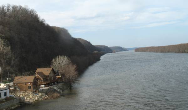
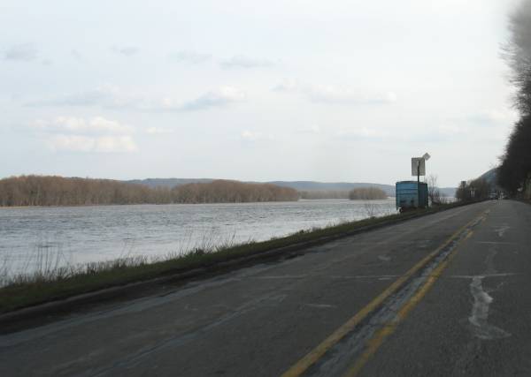
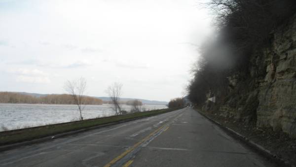
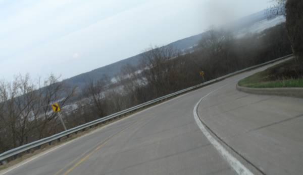
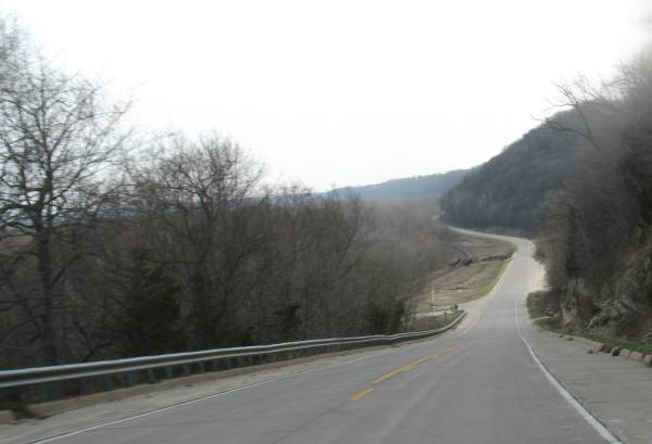
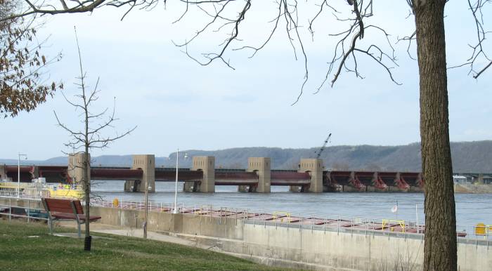
| Lock and Dam at Guttenburg, IA. This dam, like the one north of here, is running "full flow". All of the gates are raised. The river is high. |
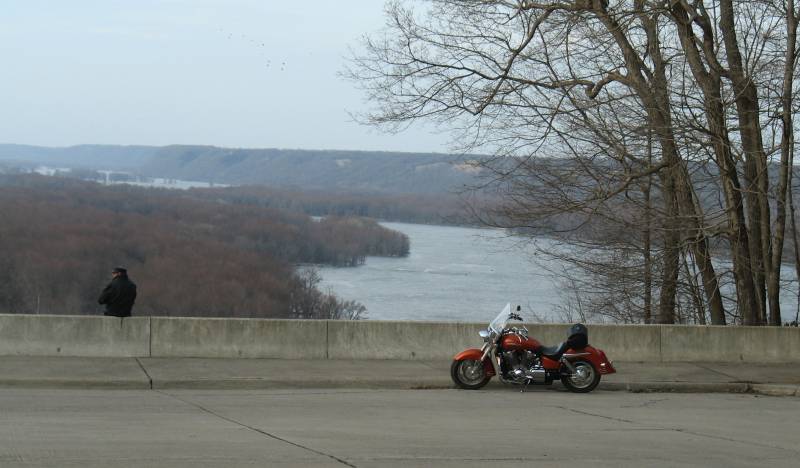
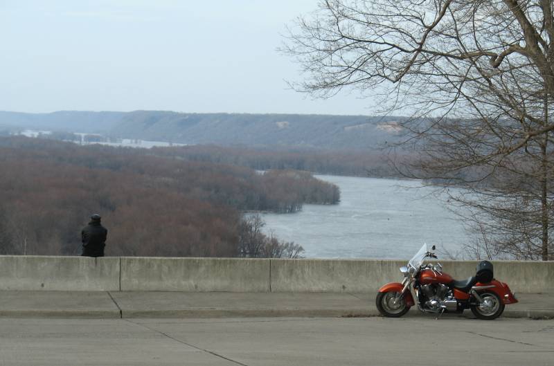
| Don? (if I recall correctly), sitting at a vista point. |
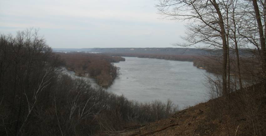
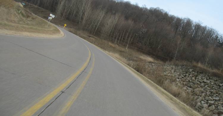
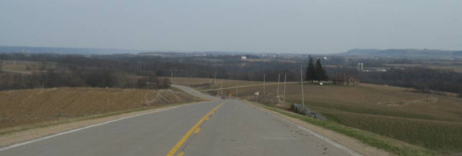
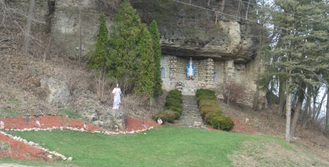
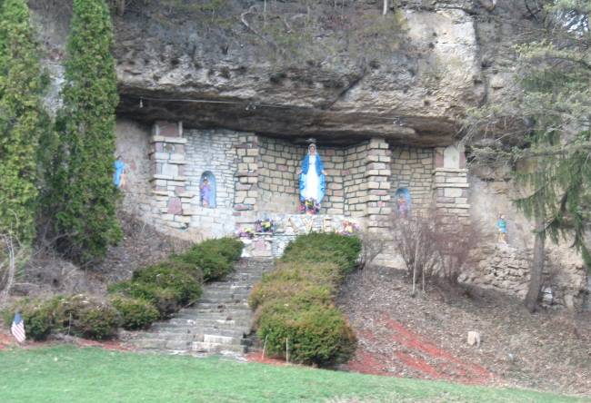
| The Grotto at North Buena Vista, IA |
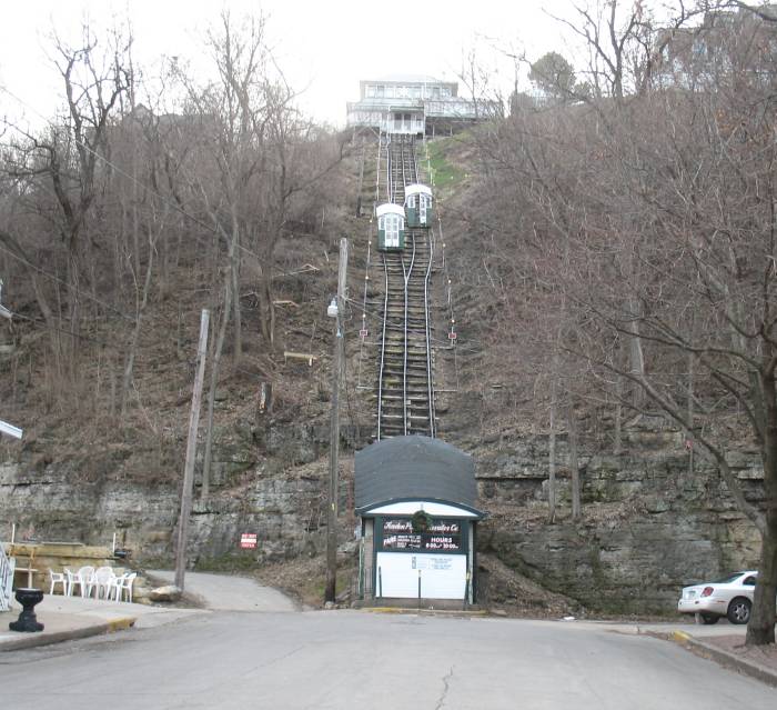
| From North Buena Vista we're now at Dubuque, IA. The sign says Fenelon Place Elevator but I've always called it "The Fourth Street Elevator" (as it's on Fourth Street). It's still in operation (closed at the moment). I'll see about visiting when it's open - sometime soon. A buck or two for a ride. |
