Pack a lot in and make it a FULL day!
| Up early, do a final pack, check out, get to the 9:30a Jewel Cave "Lantern Tour", check out some of the twisty roads, stop by the Mount Coolidge lookout, see about a Wind Cave tour - head towards home. |
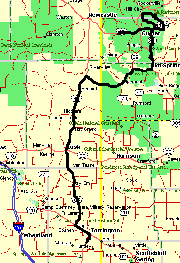
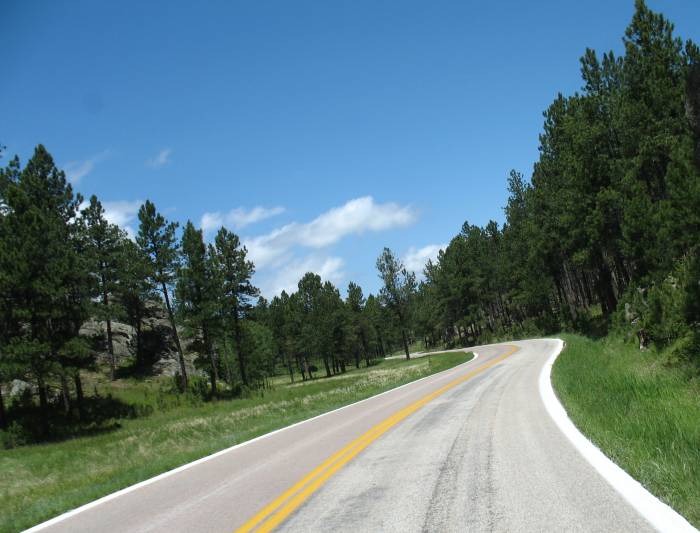
| Here's a close-up of the northern section... (clockwise loop) |
| Video Roads 2007-06-15-roads.mpg MPG, 14.7 MB, 3 min 32 sec Matt (hope I have your name right) was the guide on the tour. One family of five plus me - a nice group. |
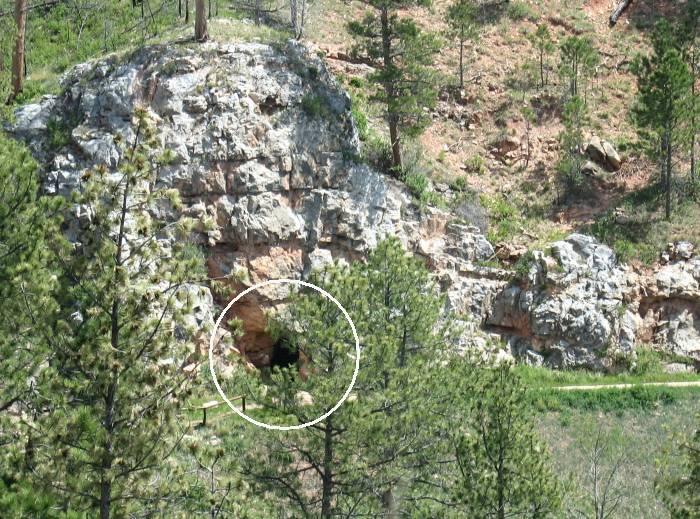
| From the roadway afar you can see the ranger cabin and the walkway running along the canyon wall over to the cave's natural entrance. |
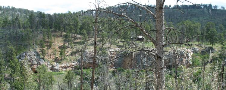
| Natural entrance circled (this would be the far left in the above pic) |
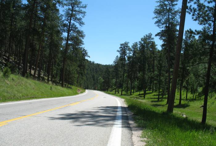
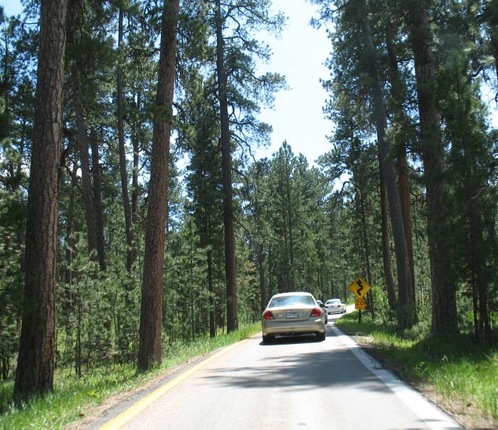
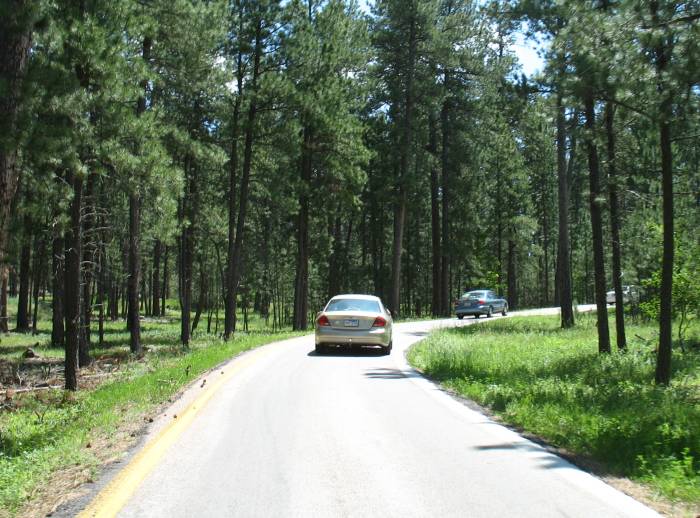
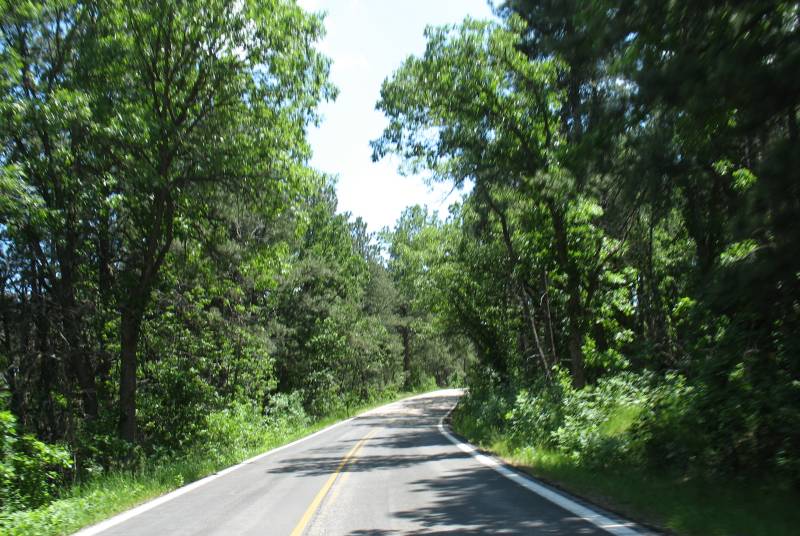
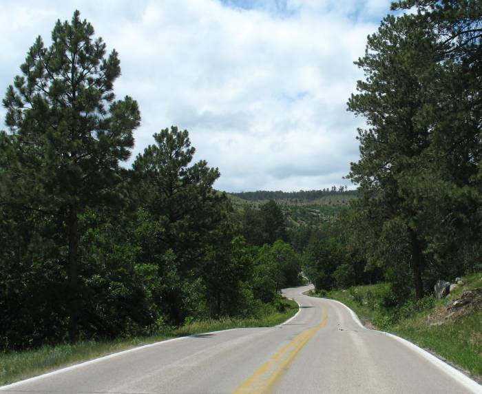
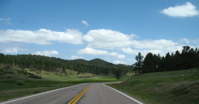
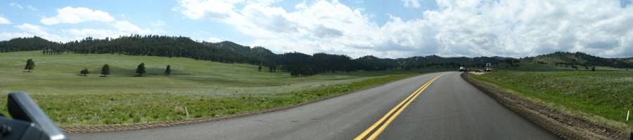
| US 16 in Custer S. P. |
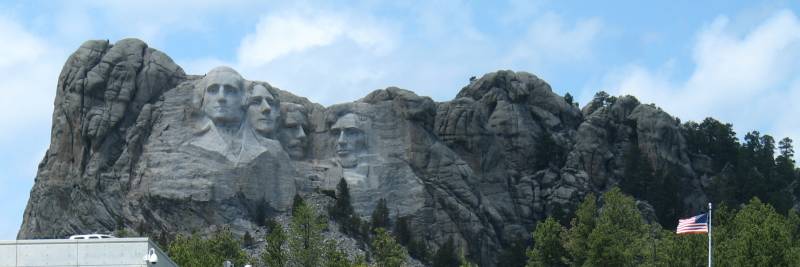
| Mt. Rushmore |
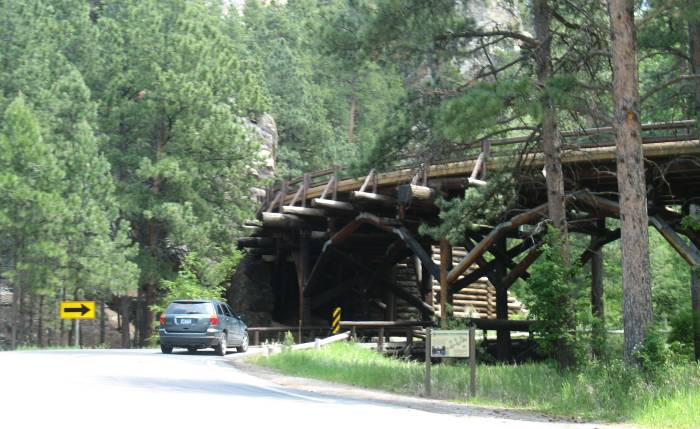
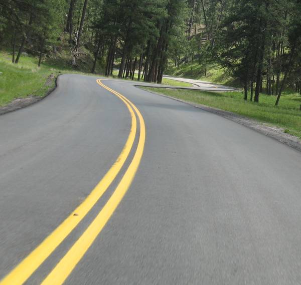
| One of the "pigtail bridges". It's a spiral, corkscrew, pig tail - choose your term - they're interesting. Some of them toss in a tunnel at one end for extra spice! |
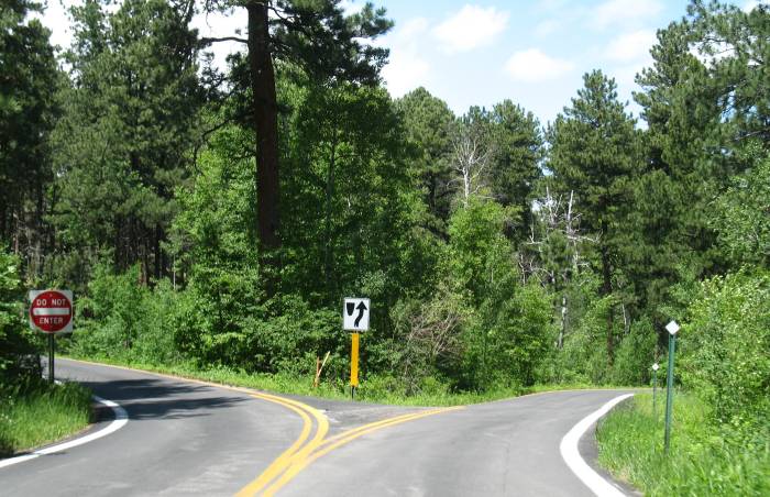
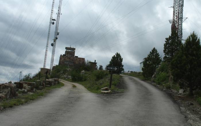
| Then there's this - it made an impression when Ken and I were here in 2004 - a split road. I don't think "each side" would qualify as a one-way, nor do I think it would qualify as a boulevard. To me it qualifies as an enjoyable oddity. Go cart track might be fitting. |
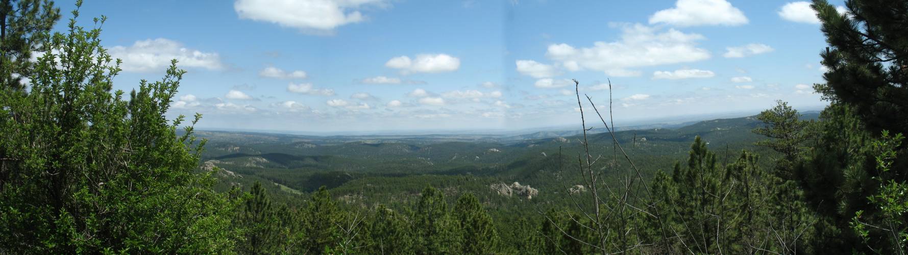
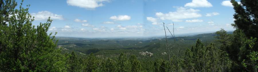
| Panorama Click for a larger size |
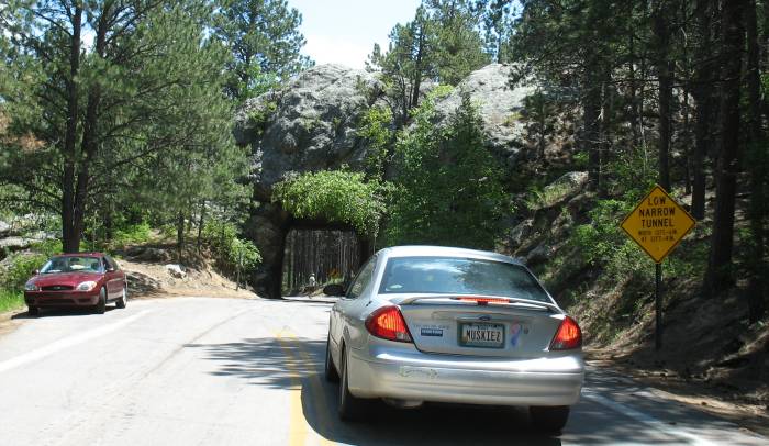
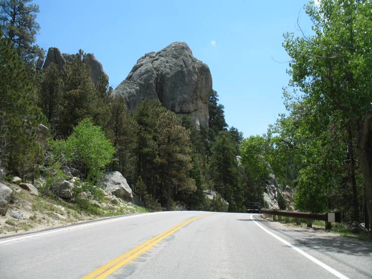
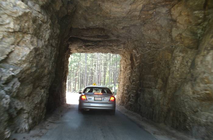
| Single lane, two-way traffic, un-faced hard rock tunnels - several of them. Look / honk - pass when it's clear. |
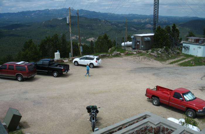
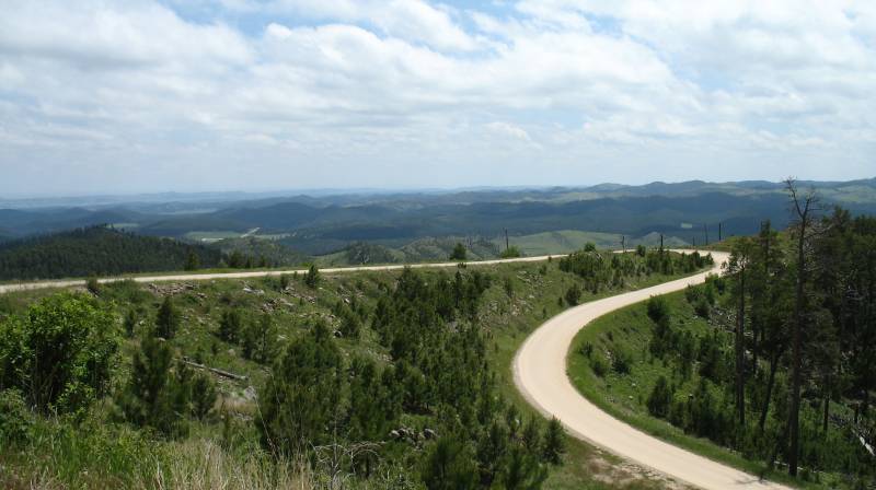
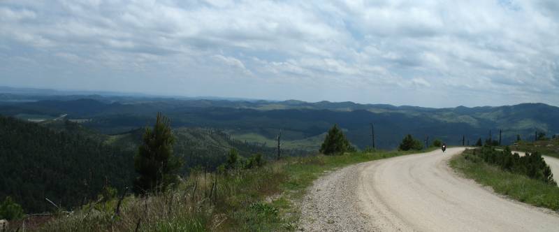
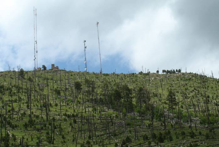
| Views from Mt. Coolidge. The Thunder Bay folks told me of this and, since I would be passing right by, I made sure to trek to the top. |
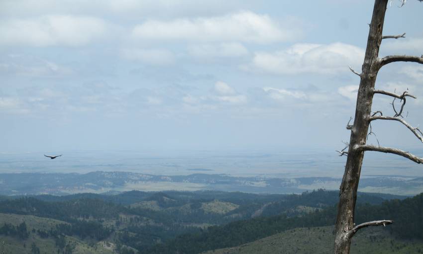
| The top is strewn with towers and guy wires. |
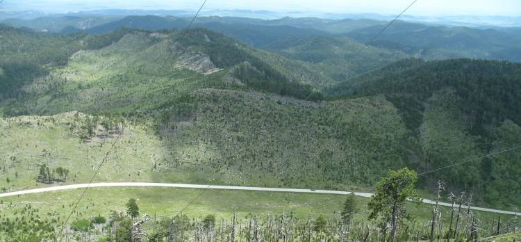
| Info signs pointed out Crazy Hourse (7.2 miles
away), the Needles [rock formations] (7.4 miles), Mt. Rushmore (9.4
miles), Ellsworth Air Force Bace (34 miles), and the Badlands (75
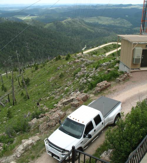
miles). Space atop the mountain is fairly tight with the lookout tower / building, towers and their guy lines, electronics huts, backup generators and their fuel tanks. A forest fire rolled through the area several years back. |
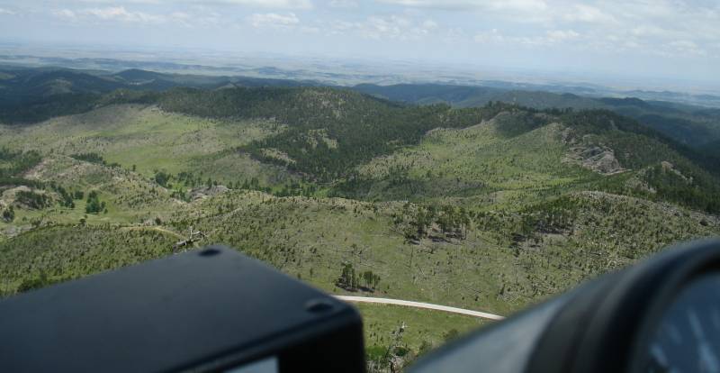
| The road up. When you make the tight left (top right of the photo) if you don't mind your P's & Q's you'll find yourself heading down - quick. |
| Coming up the road (after
finishing
the "tight left" mentioned above) is another STn'er, Jeff [Spectre]
from Boise Idaho. He certainly stood out when he arrived at the resort. When he arrived he told how he had hit a deer on the trip from home. The right side of the bike was missing an aluminum highway peg - it was ground off as the bike slid down the roadway. The right side saddle bag had some road rash but was useable. He commented that when he opened his eyes, now stopped and laying at the side of the road, the guard rail was only inches from his face. He still had deer hair stuck to the Velcro on the back of his left glove and some poking out from the left handlebar controls. Seemed to have a solid "yea, it happened, continue on" personality. Boise Idaho, IIRC is home. We chatted a minute or two and parted ways. |
| SD-87, I'll be rolling through those curves in a few minutes. |
| Down on US-87 looking back up at the lookout and towers. |
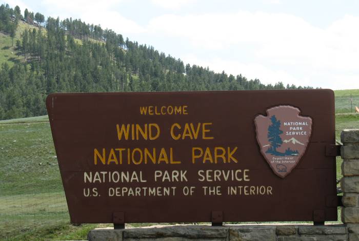
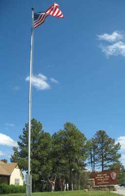
| Getting closer to Wind Cave - we'll see what's available for tours. |
| Panorama Click for a larger size If you have to sit and wait for a construction crew - this is the type of spot you want! The flagger lady certainly agreed. |
| Days new, fresh asphalt. |
| Any Microsoft Windows (XP) users have the popular "green fields" background on your desktop... |
| Visitor Center, Wind Cave |
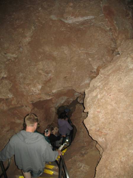
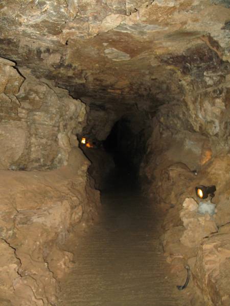
| I'm on the 3:20pm "Fairgrounds Tour". About now
I'm mentally clicking off the hours until dark and the hours needed to
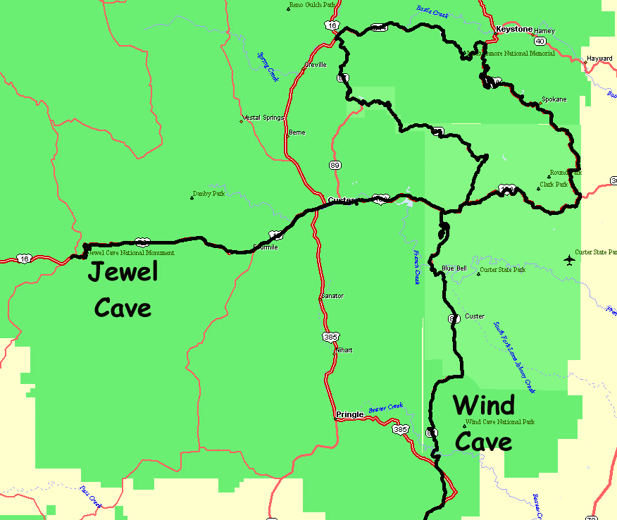
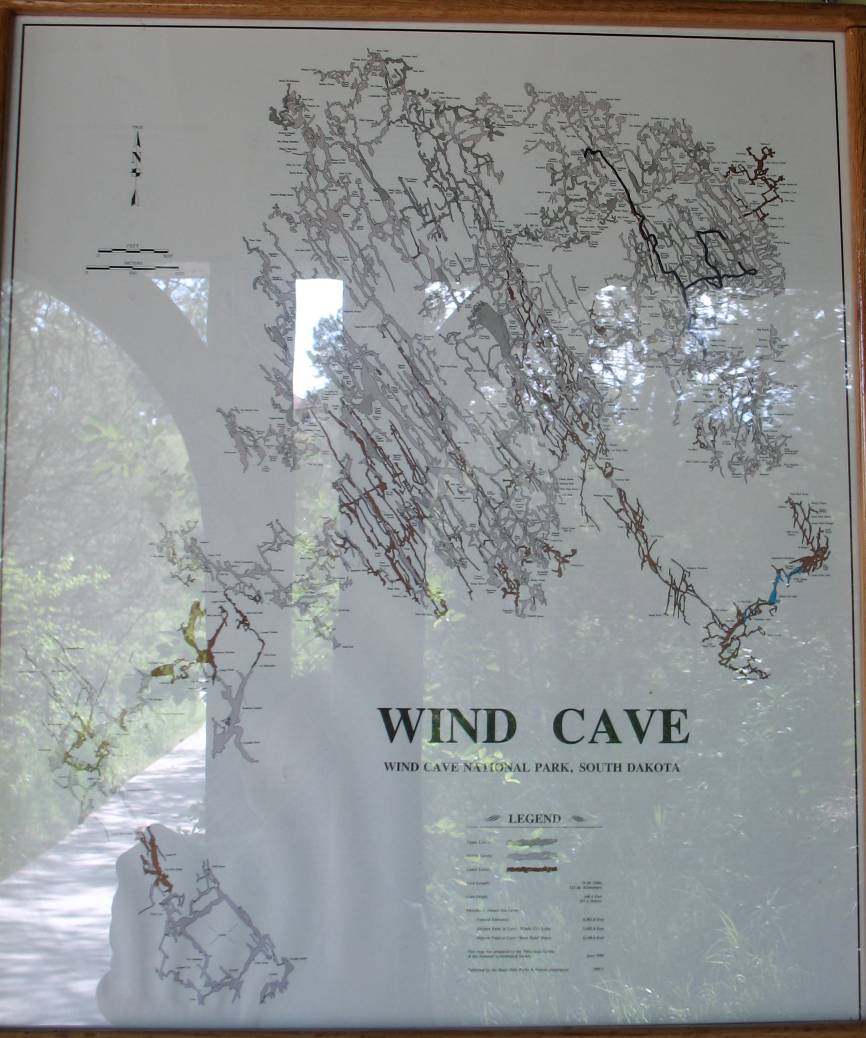
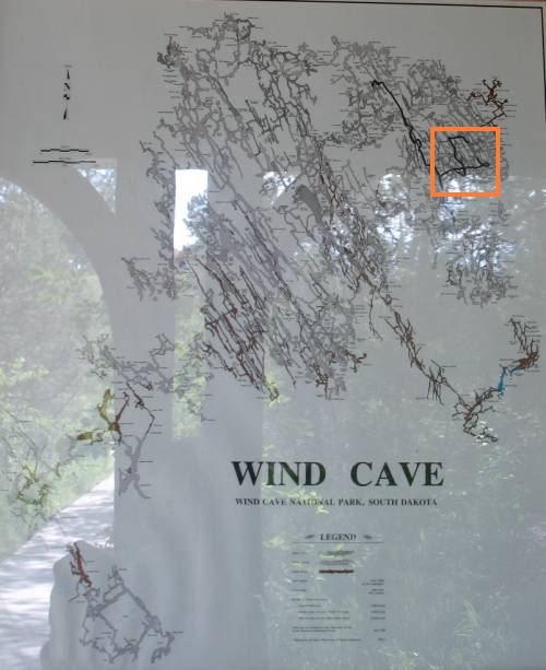
get home. I could have skipped the tour - but I'm in the area... Below is a map of the cave. I'm not sure if Wind Cave is like Jewel cave - if there's more to explore and map or if this is it (I think there's more). The orange box has a highlighted black line showing the route the 1.5 hour (1.2 hours in the cave) tour will take - just a small portion of the cave. Click for a larger size |
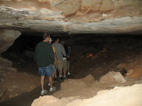
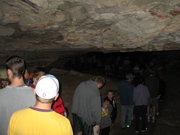
| Forty people (including one baby, visible, with parents doing an excellent job at keeping quiet). Screaming baby in a cave anyone? |
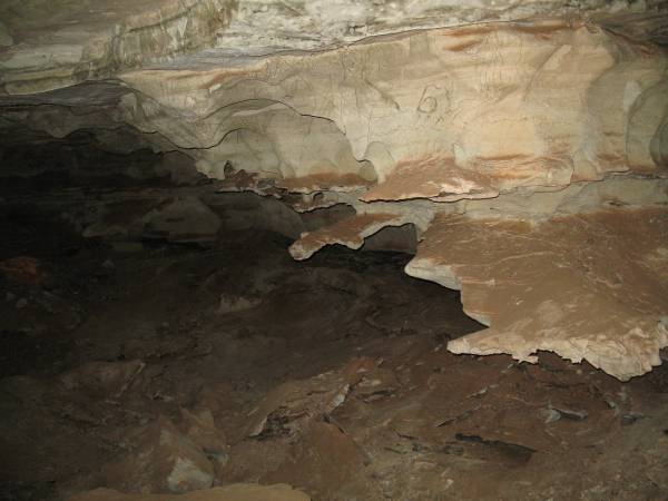
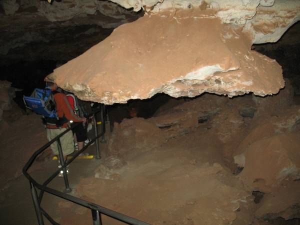
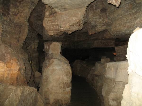
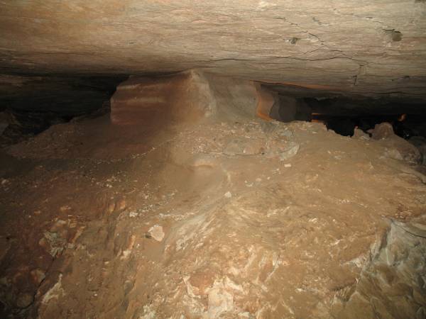
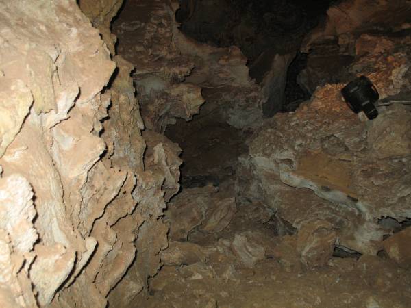
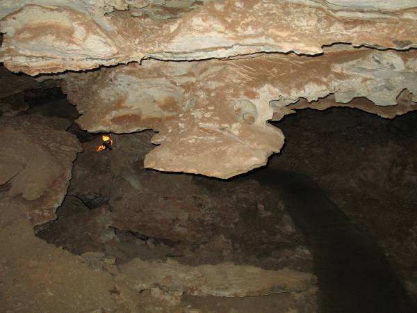
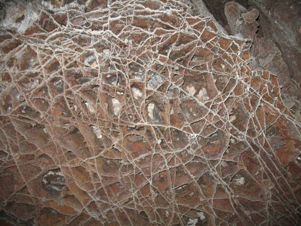
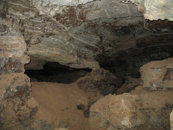
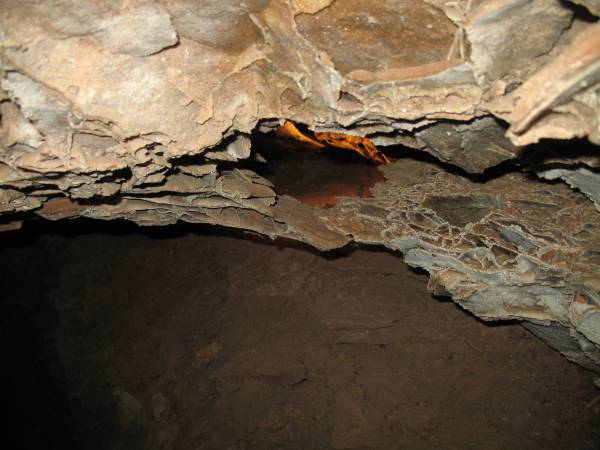
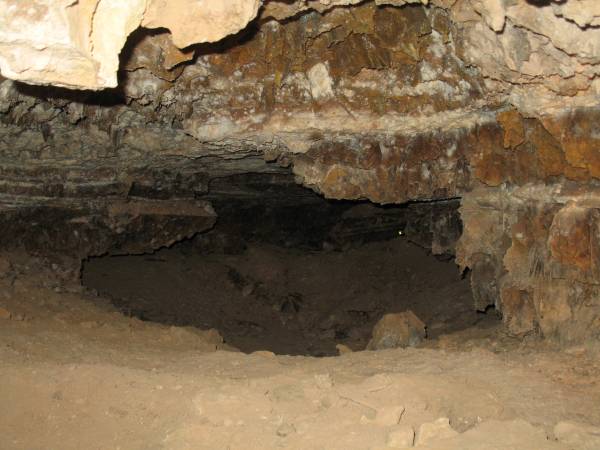
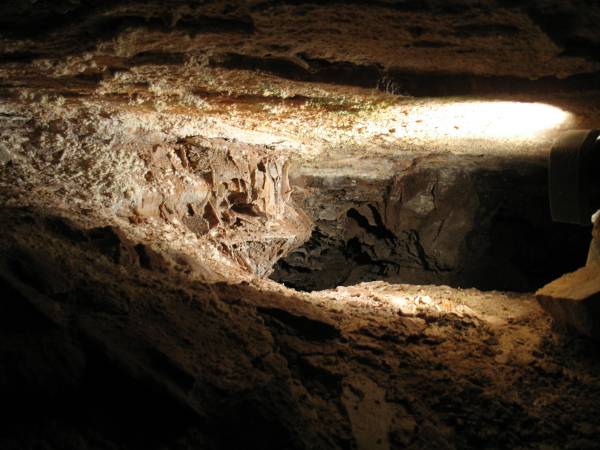
| Cave ceiling |
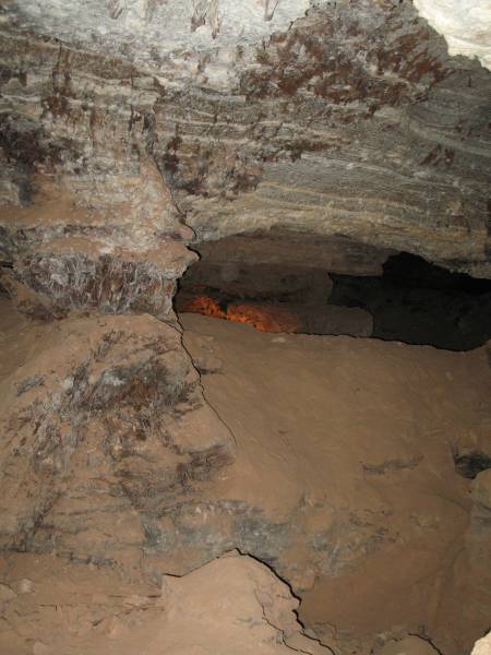
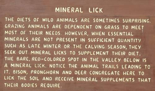
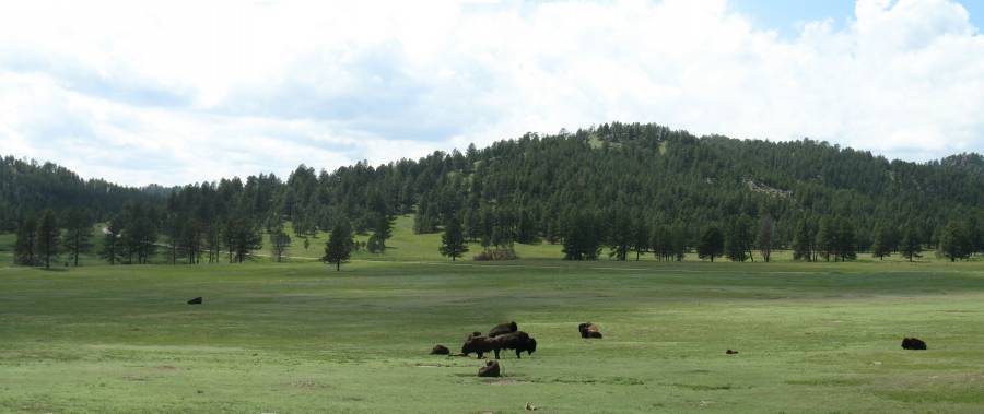
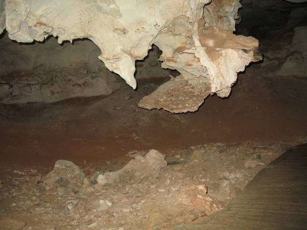
| The red soil area is the mineral lick |
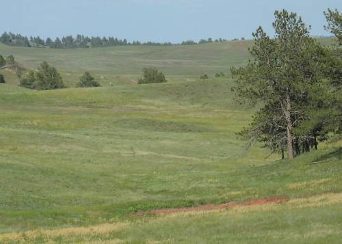
| Same mineral lick area - a nice, wide view. |

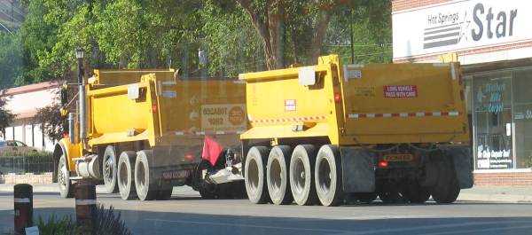
| Dinner at a diner in Hot Springs SD I had no breakfast, lunch was a granola bar and water at Mt. Coolidge. It's amazing how my stomach doesn't bother my mind when the views are grand. These trucks kept rolling by - the "all wheels" trailers intrigue me. |
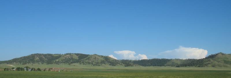
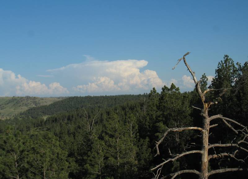
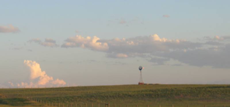
| Wide vistas with white storm clouds on the horizon - fortunately not a horizon I'd be traveling towards. |
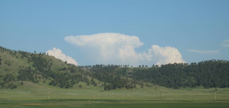
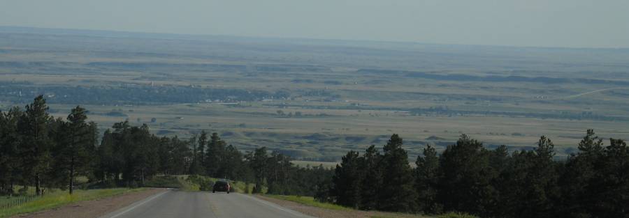
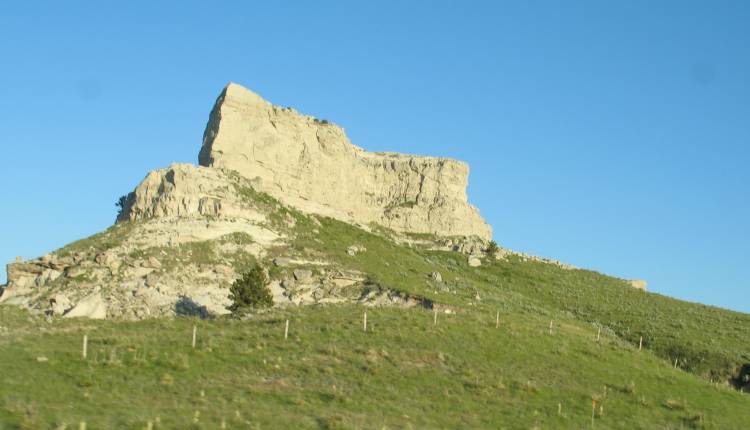
| Another wide valley. The town on the valley floor is Edgemont, SD. It holds the gas station that is "58 miles away" on my trek up to Custer the first day. While I just filled up at Hot Springs I will pass by as I'll have enough to get to Lusk - though I will stop at Lusk to fill again - if I need it or not. |
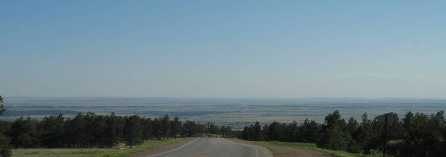
| Backing out - same view as above |
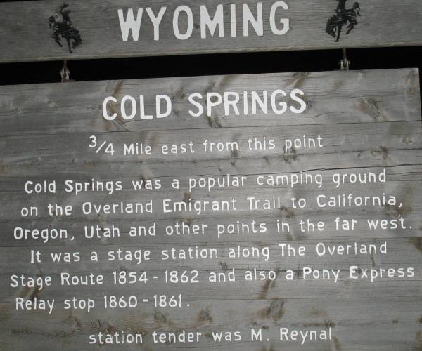
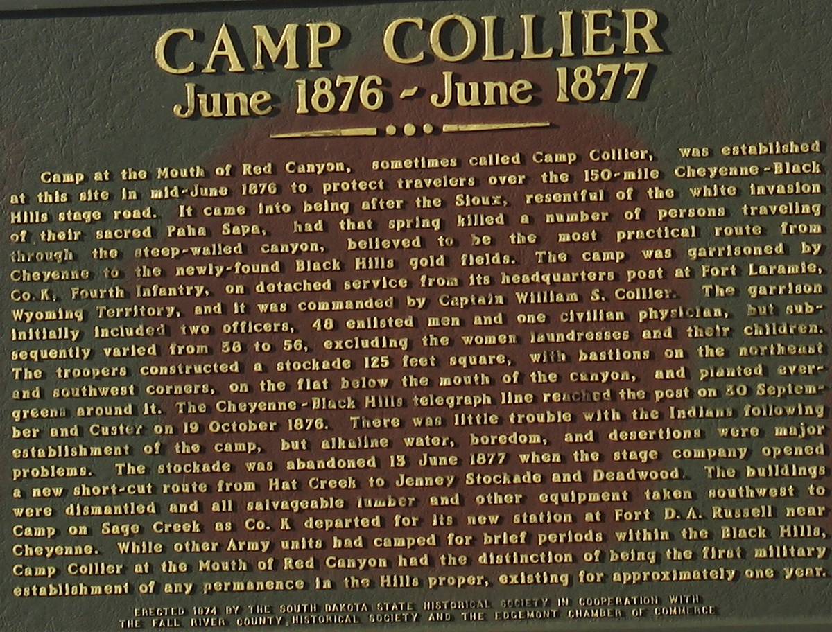
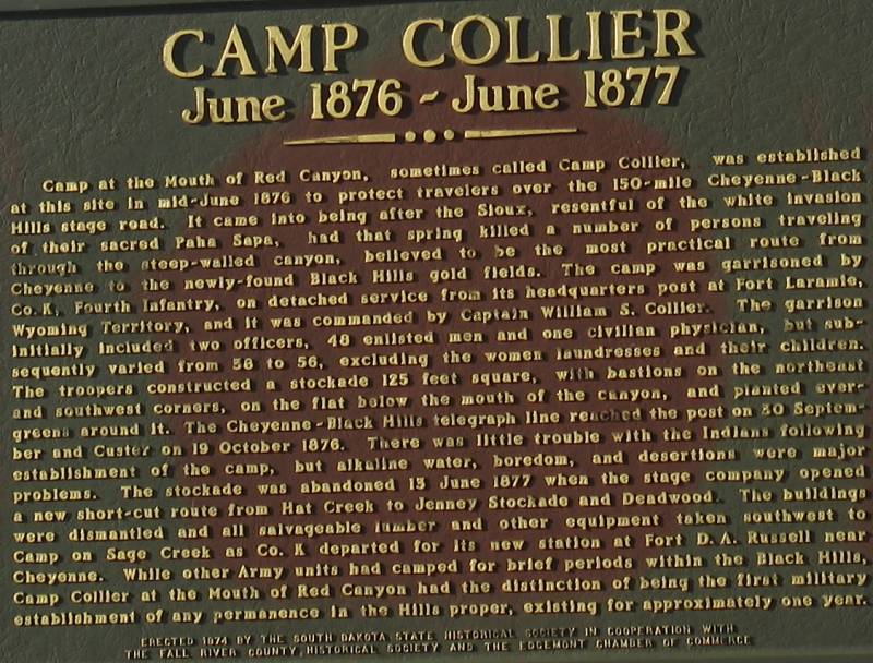
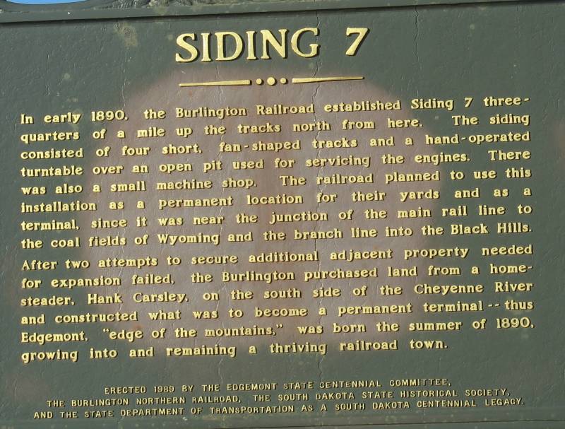
| Info sign Click for a larger size |
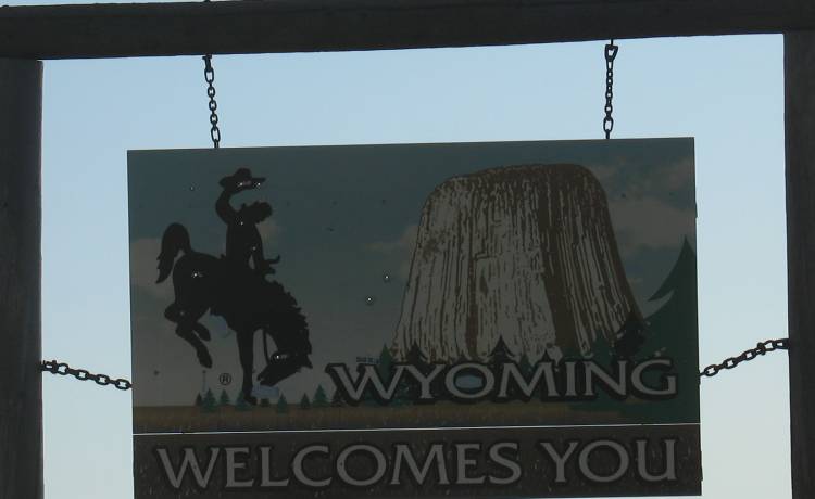
| All shot up... WY / SD state line |
| Turning around. |
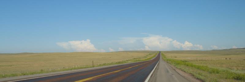
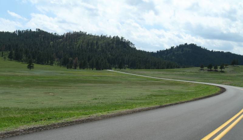
| While it's rare to have grand "roads to the far horizon" they're commonplace in these parts. |
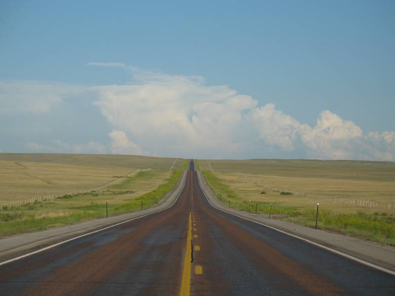
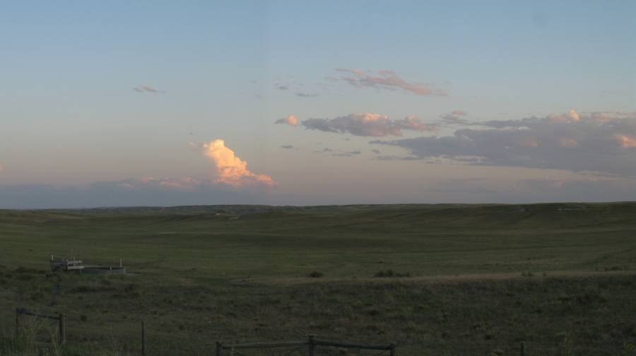
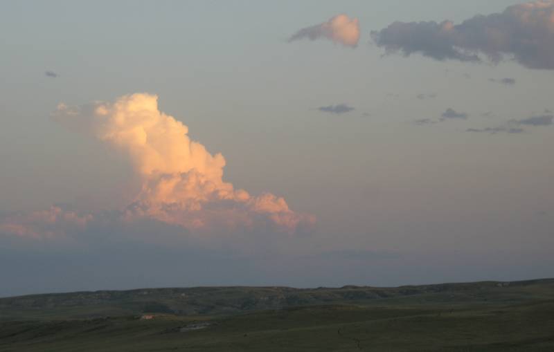
| South of Lusk WY - I'll be heading towards that storm cloud but it won't be any issue. |
| Torrington WY - after dark. I had just turned around south of town. I passed through town with the debate - get a hotel and get off the road (animals in the roadway concerns) or keep pushing on - only 2 or 3 hours until 'home'. I noted a hotel or two on the main highway and passed by the gas stations. Looking at the GPS the next fuel stop would likely be closed (very small town) - the decision breaker - hotel it and ride in the daylight. |