Dinosaur National Monument
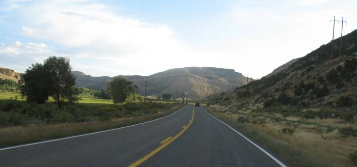
| The goal today will be to poke about the park and surrounding area to see what the area is like. The first photos will be on the road between Rangely and the park / Dinosaur area. Then we'll see part of Dinosaur National Monument. This is my first visit so I don't have any idea what'll be in store for us. |
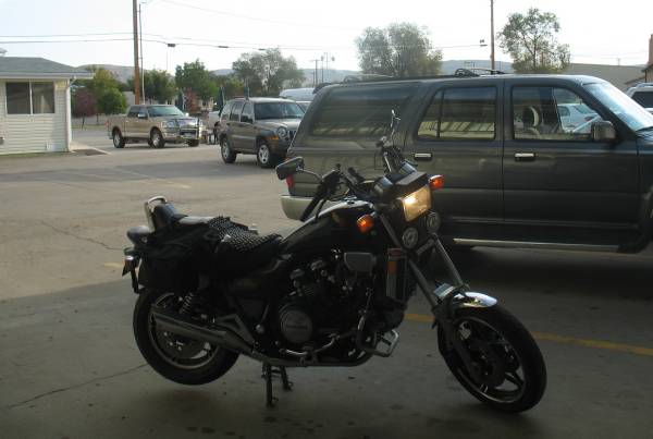
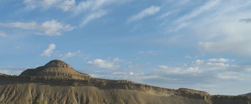
| About ready to leave the hotel in Rangely. |
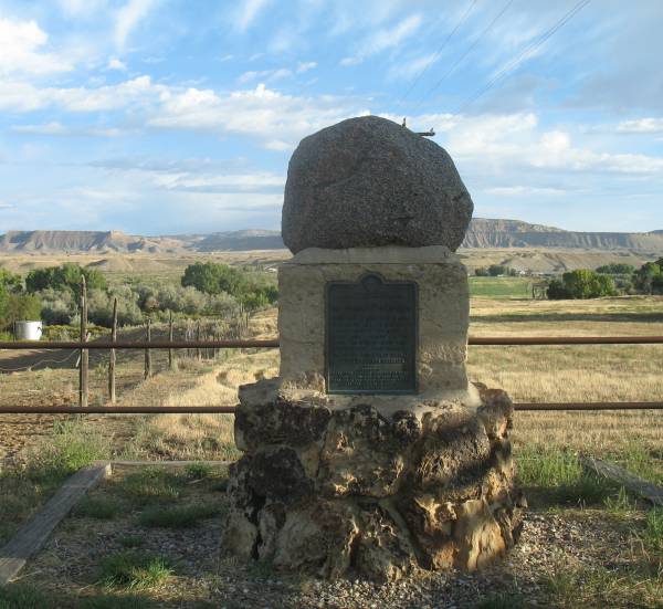
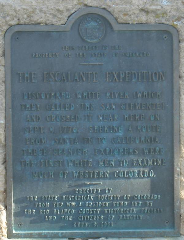
| Roadside marker - the
Escalante Expedition (see next photo) |
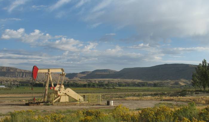
| A sign of the area - oil extraction. |
| What caught my eye on this spillway is the split level function. The left 40% of the spillway is slightly lower (a foot or two) than the right section. Under normal conditions, water fills until it comes to the level of the left section - keeping the flowing water constrained to that section while the rest is dry. |
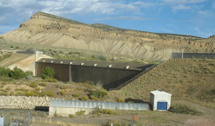
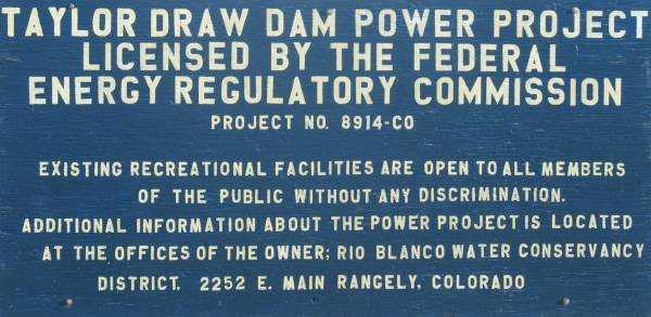
| The top side of the dam and spillway. |
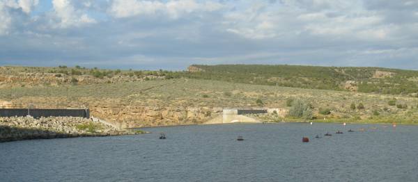
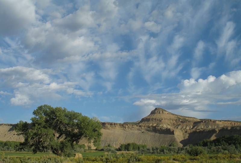
| Looking across the White River and the Taylor Draw Reservoir |
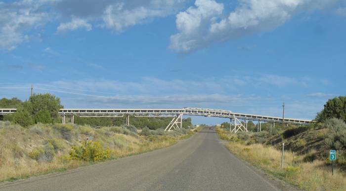
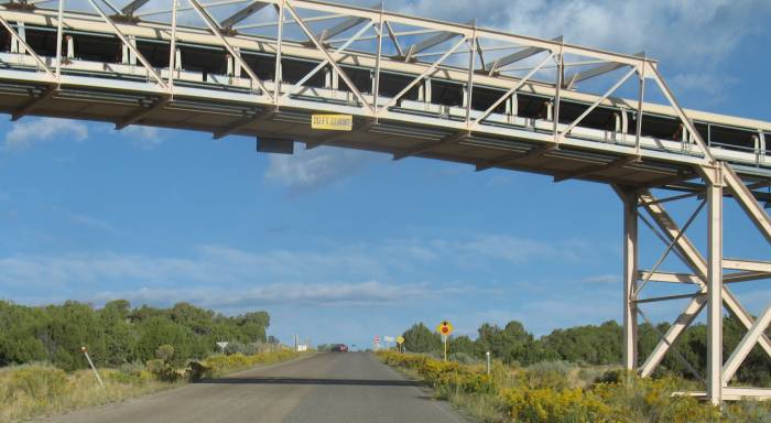
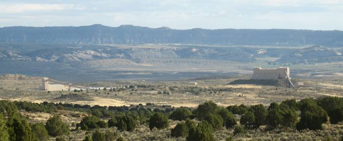
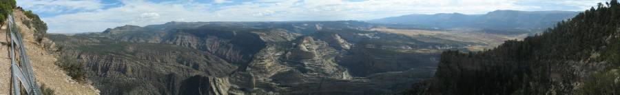
| It sems the major
industry in Northest Colorado is "energy extraction". Natural Gas, Oil,
Coal. What's going over the road is a conveyor belt hauling coal from the mine to the left to the transfer point to the right / north. |
| Panorama Click or a larger size |
| The coal storage & transfer station. |
| Company work trucks were about doing their thing. |
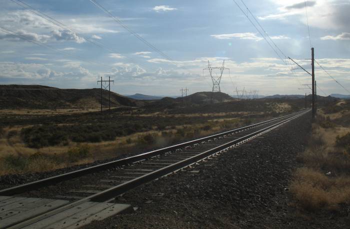
| That's nice. 50,000 Volts 16.5 feet over my head. |
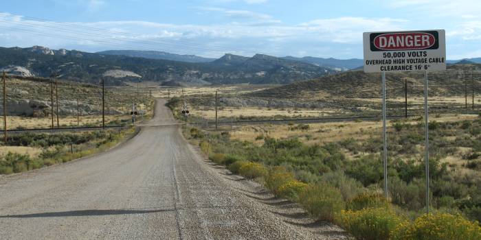
| And here's why - an
electric rail line. Interestingly, many years ago, I was given a "Railroads of the U.S.A." wall map. In the northwest corner of Colorado was one of the few oddity rail lines. It was short and not connected to anything (most rail lines connect to another allowing travel about the U.S.). The few short and unconnected lines were often listed as "scenic". These are often old steam train lines that are kept alive for tourists (like the Cumbres & Toltec and Durango & Silverton). This was different. It wasn't marked as scenic. It was simply marked as "Private". What's a private line doing in northwest Colorado? Today we know that it's hauling coal from the mine in Colorado to the power plant in Utah, 38 miles to the west. |
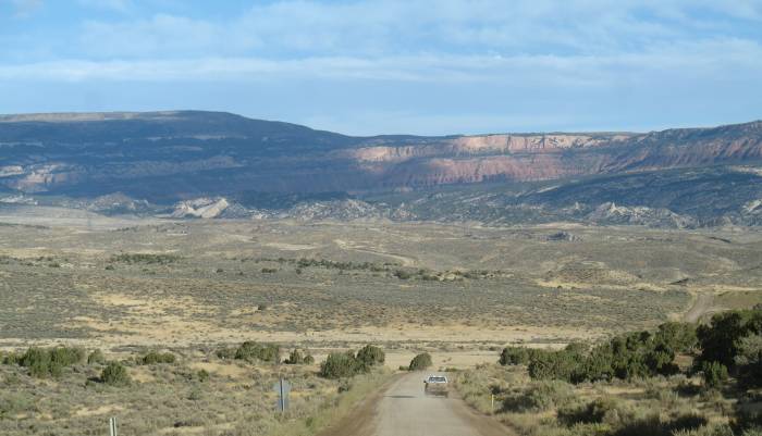
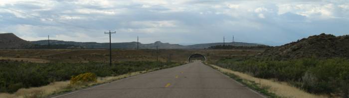
| Turning about for a westerly view. |
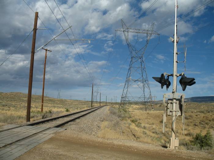
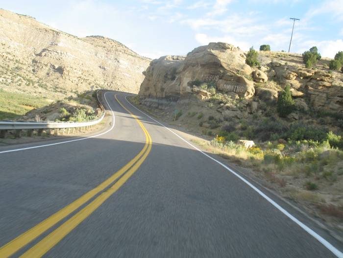
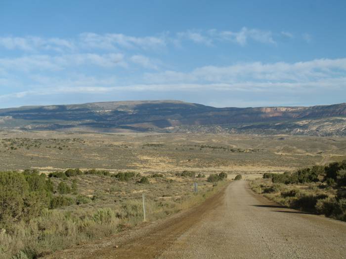
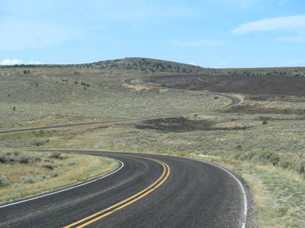
| A side road extendeing south of US-40. I took it to where the railroad crossed. |
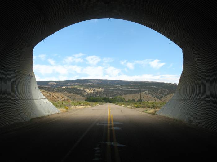
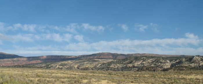
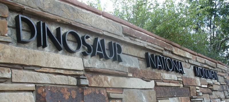
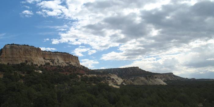
| Dinosaur National
Monument We're now at the Canyon Area Visitor Center (US-40 a mile or two east of Dinosaur CO) |
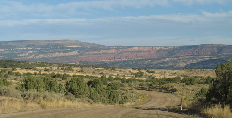
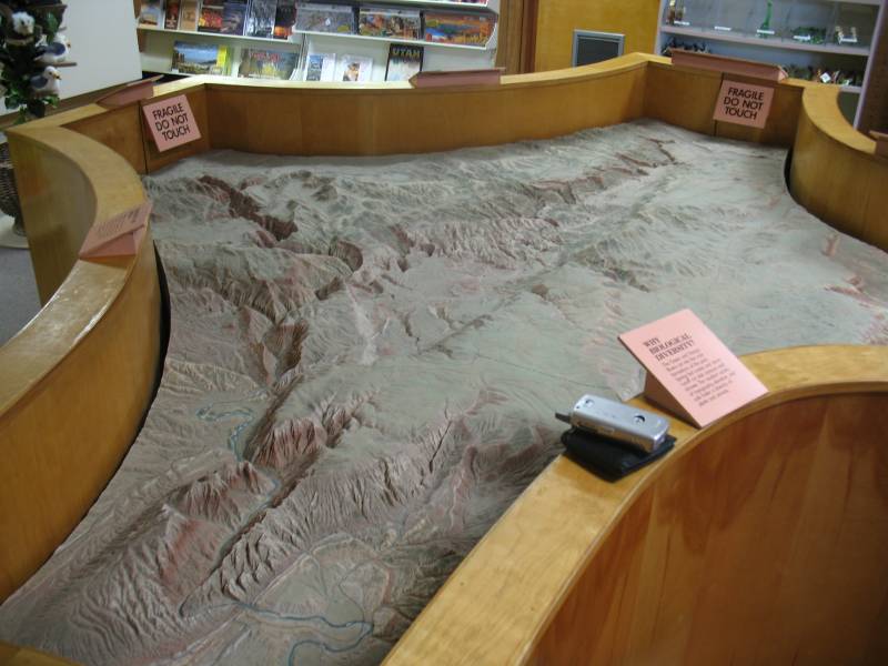
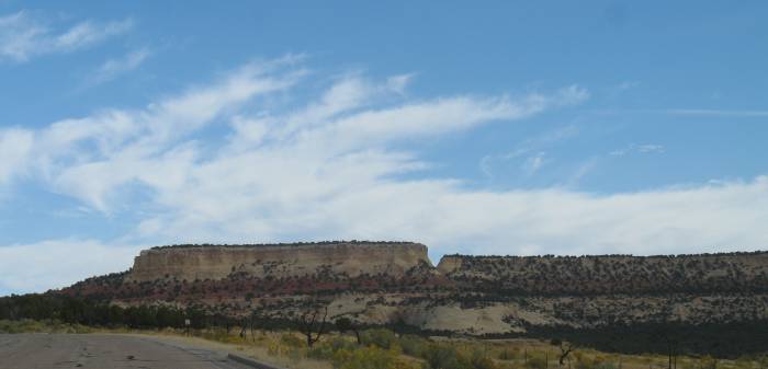
| The visitor center gives us an idea that canyons will greet us. The roadway / visitor center starts at the far right of the photo and extends mostly left (north) across the photo |
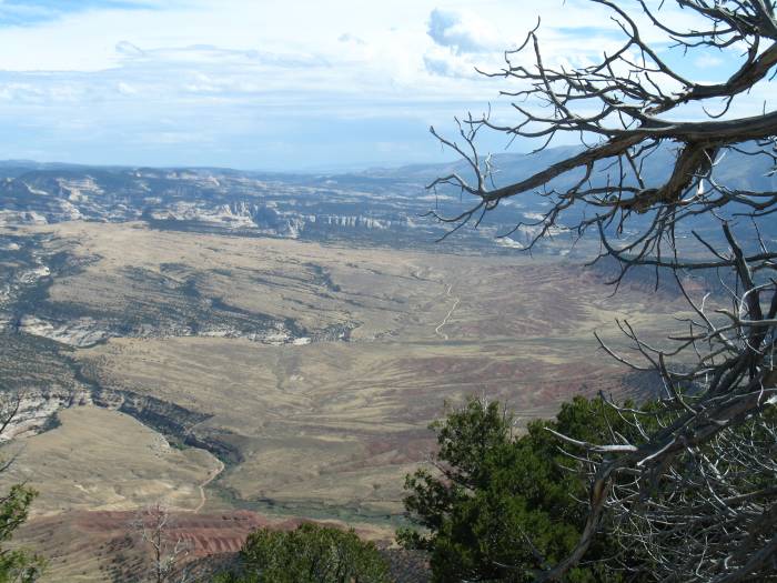
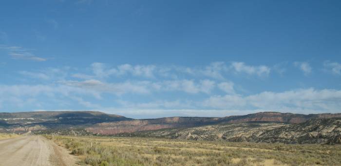
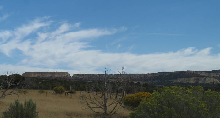
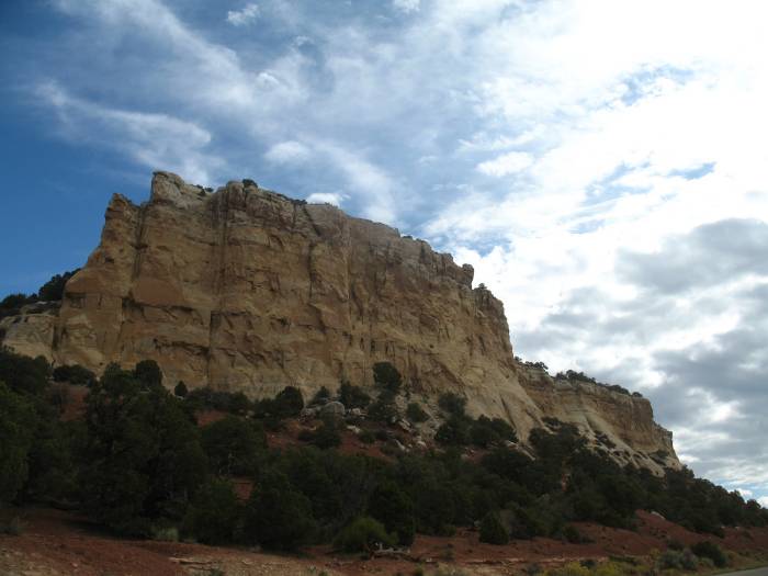
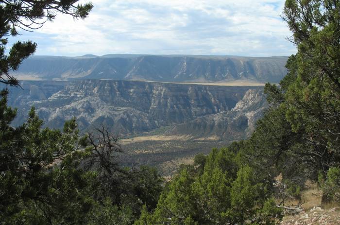
| In the park, looking south in the direction of Rangely. |

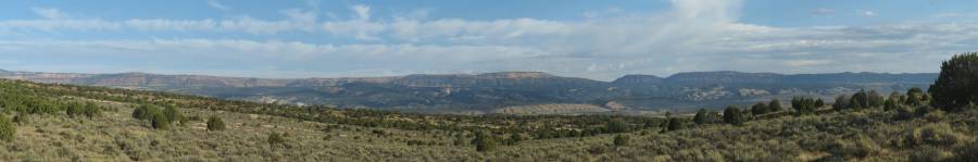
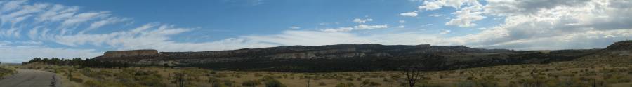
| Panorama Click for a larger size |
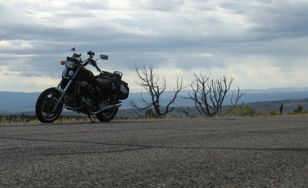
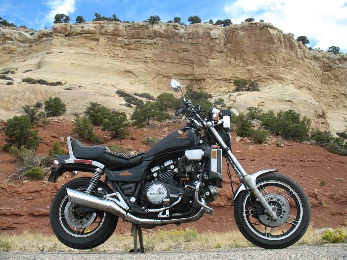
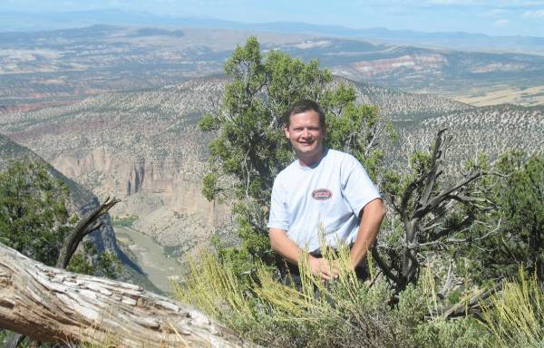
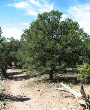
| One last bike photo. |
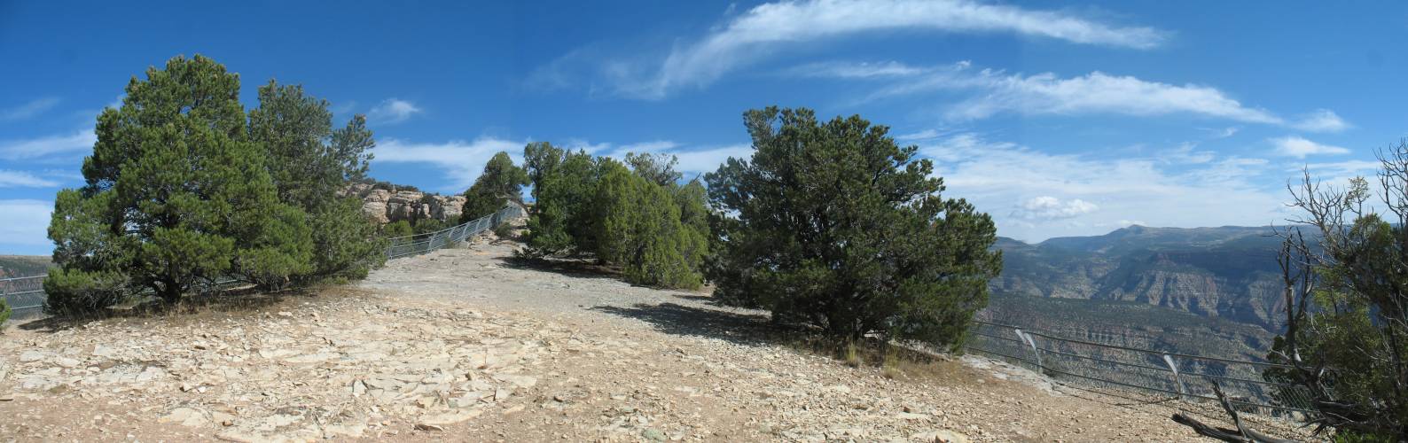
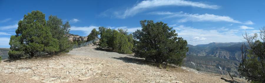
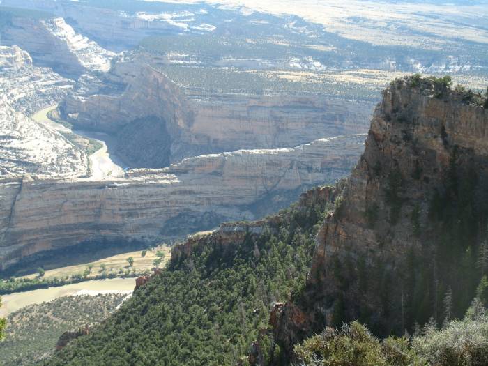
| I think we're now on the Harpers Corner walk. It's at the far north end of the road. |
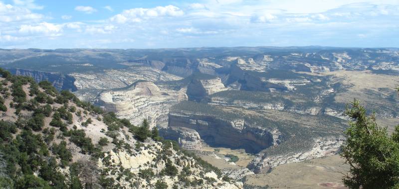
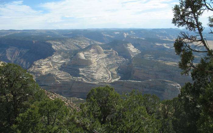
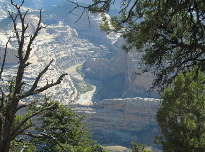
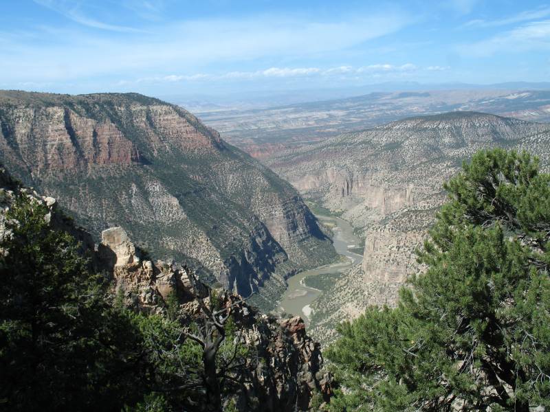
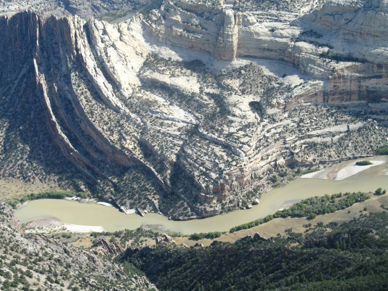
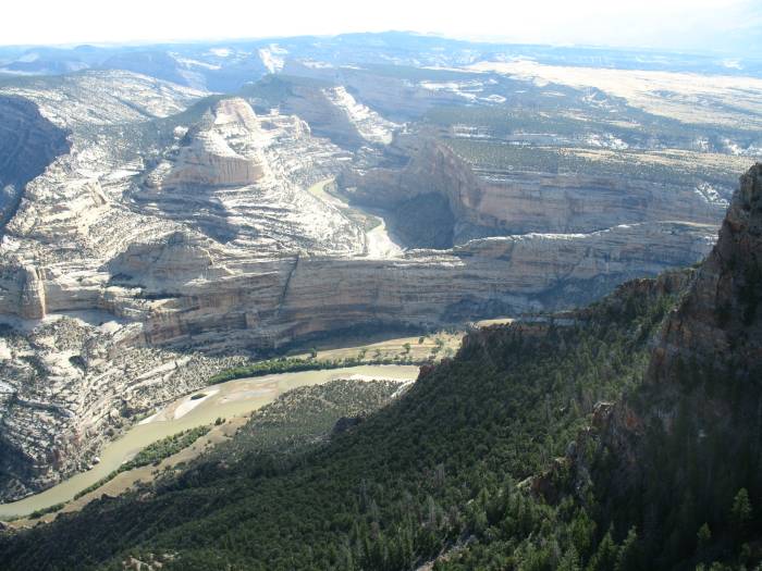
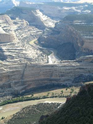
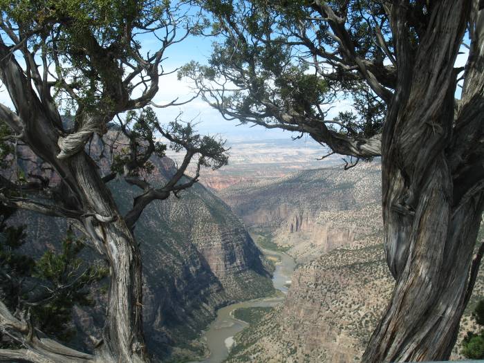
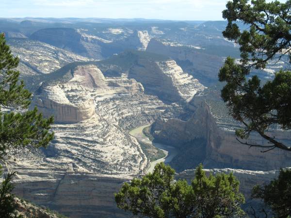
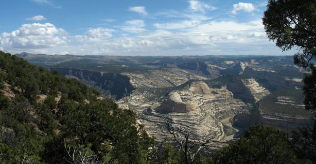
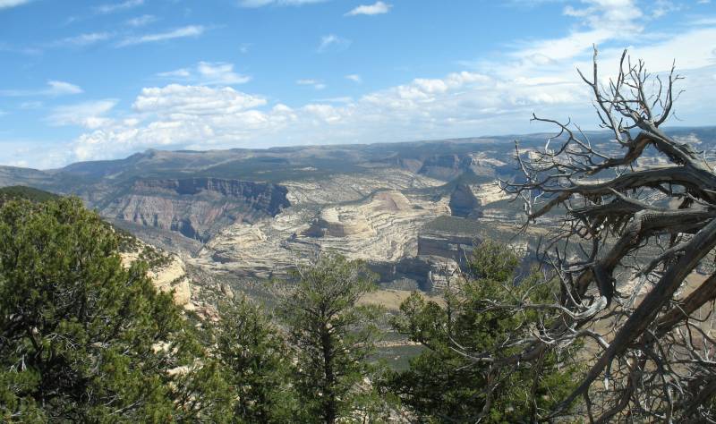
| In this area of the park the Green River comes in from the north and travels to the southwest. The Yampa River comes in from the east and joins the Green just east of here. |
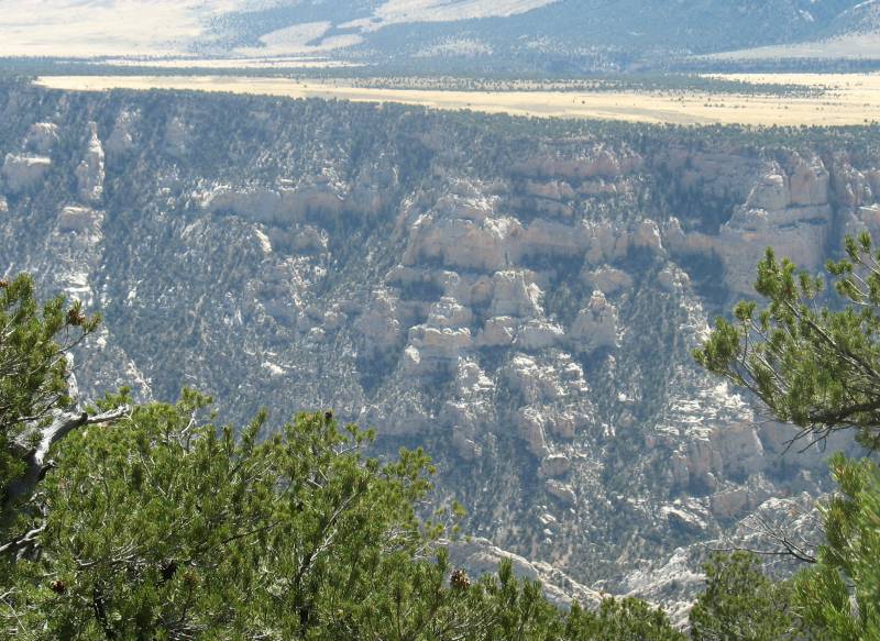
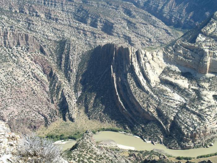
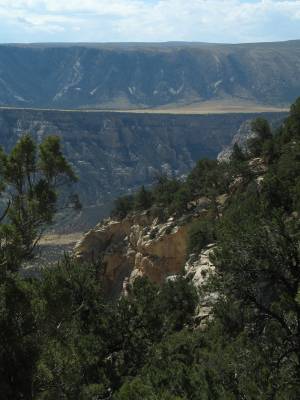
| More river and canyon maze. |
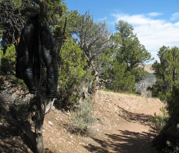
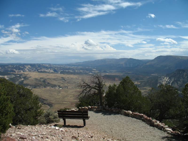
| Walking out on the dead end trail I decided to leave the coat hanging from a tree. I'm sure it'll be there when I get back. The few visitors ahead of me will probably have quizical smiles on their faces. |
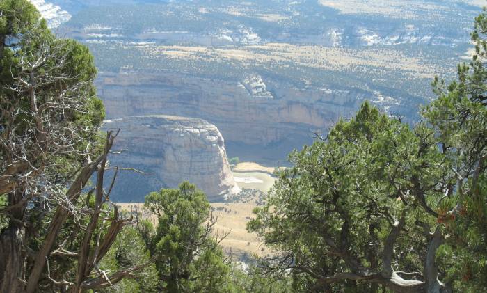
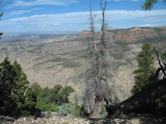
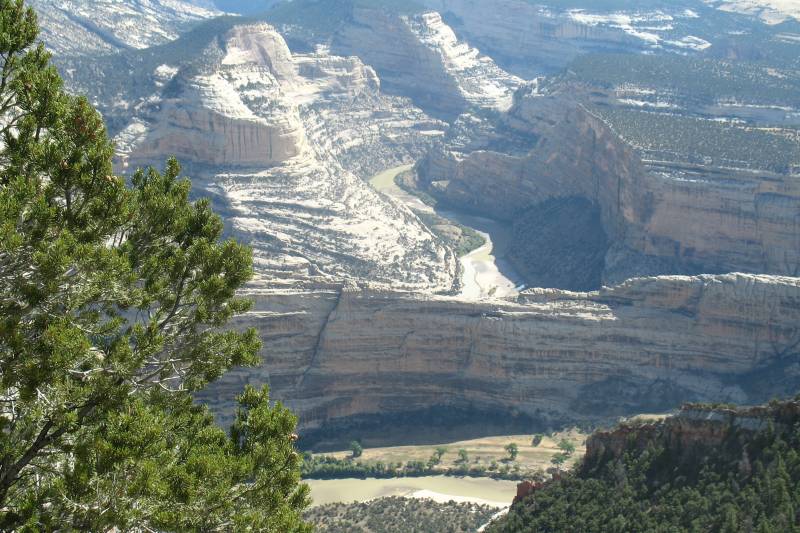
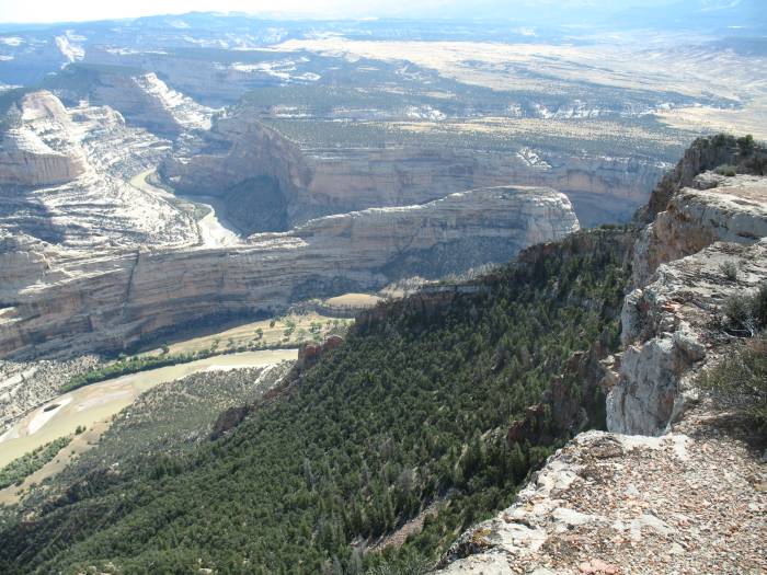
| A view to the west. See any marks of mankind - buildings, power lines, roads, billboards? |
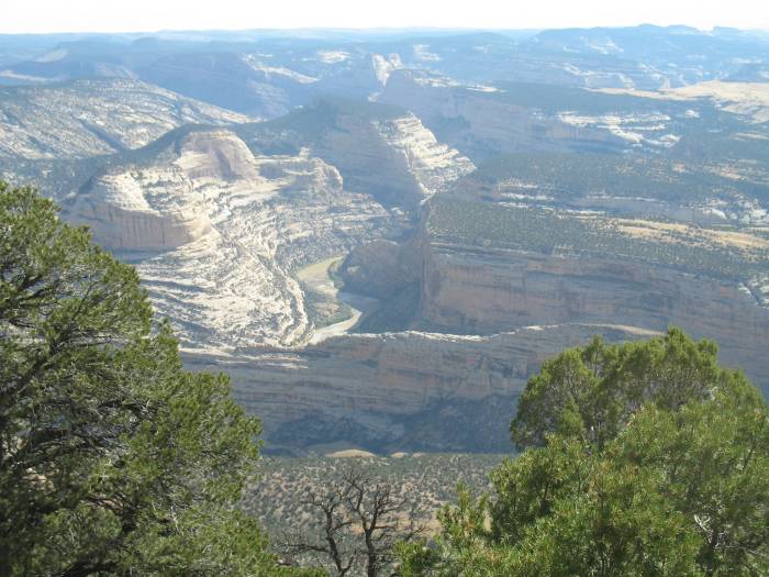
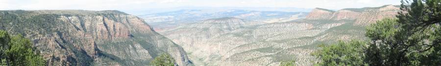
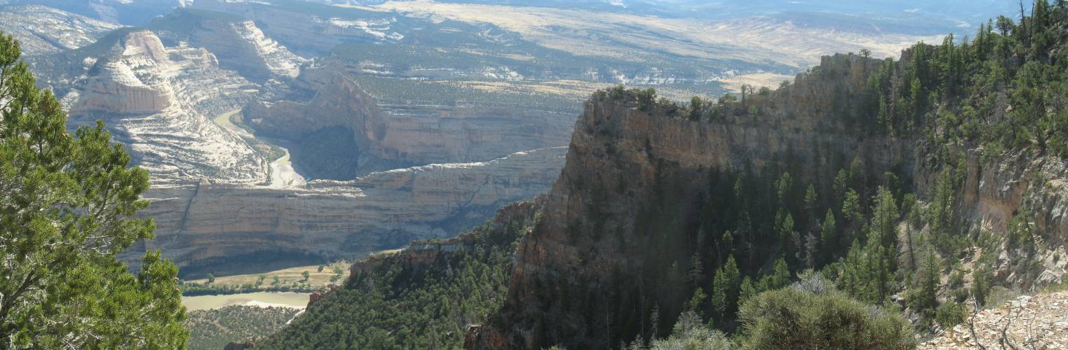
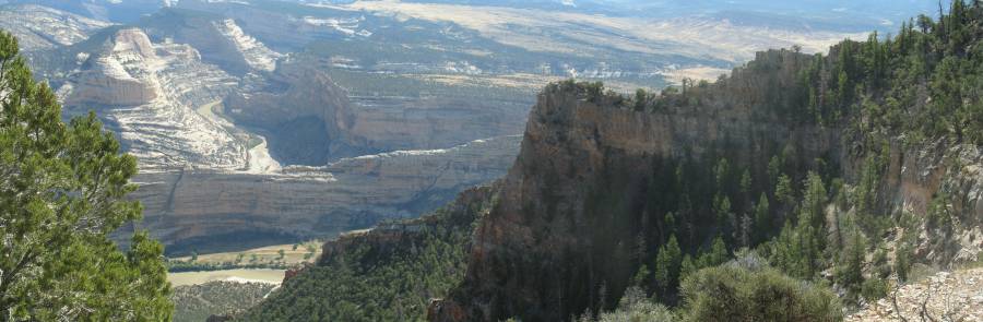
| Panorama Click for a larger size The Green River heading to the southwest. |
| Closer |
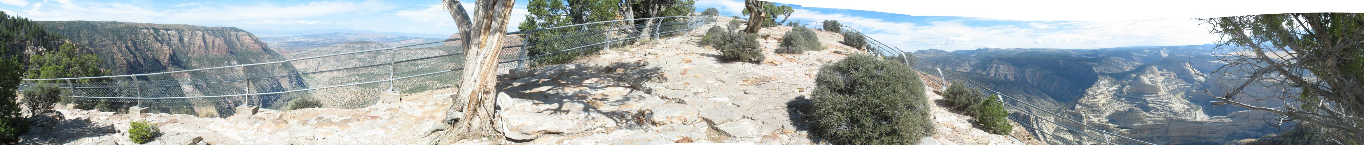
| Panorama Click for a larger size The end of the trail. The land thins down to give easy views to the east and west. |
| Oddly curved rocks |
| Panorama Click for a larger size |
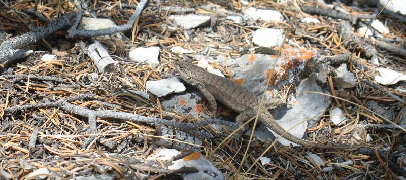
| Some company |
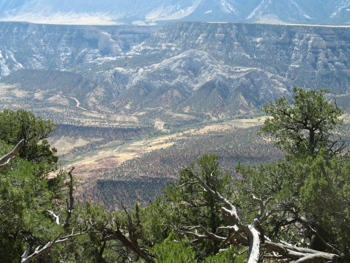
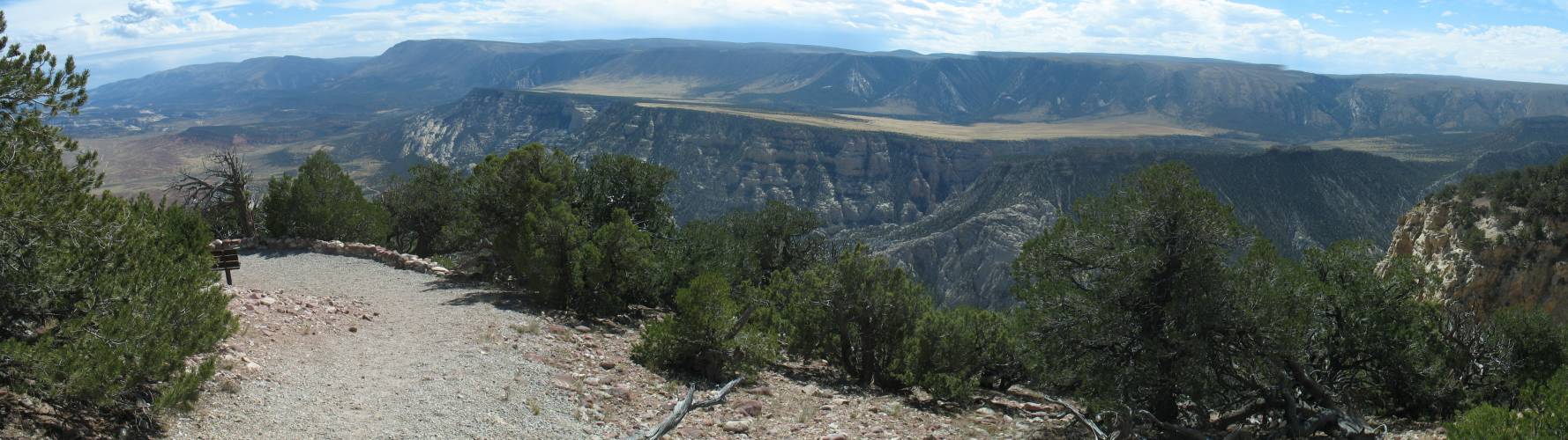
| Wide valley to the east / southeast |
| Panorama Click for a larger size |
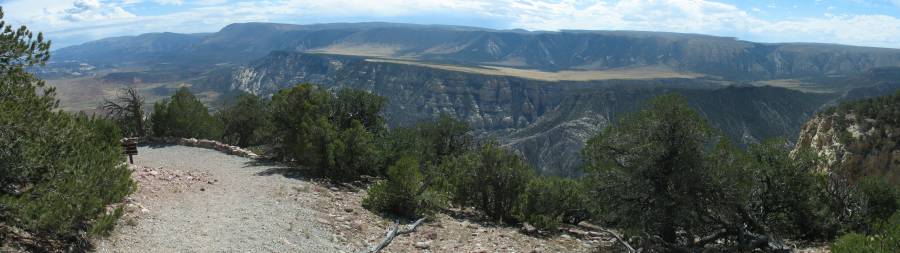
| Panorama Click for a larger size |

| OK, are you tired of this view yet... |
| ...Here's something different |
| Panorama Click for a larger size (this is a tall one - scroll down) |

| Walking back to the parking lot - almost finished. |
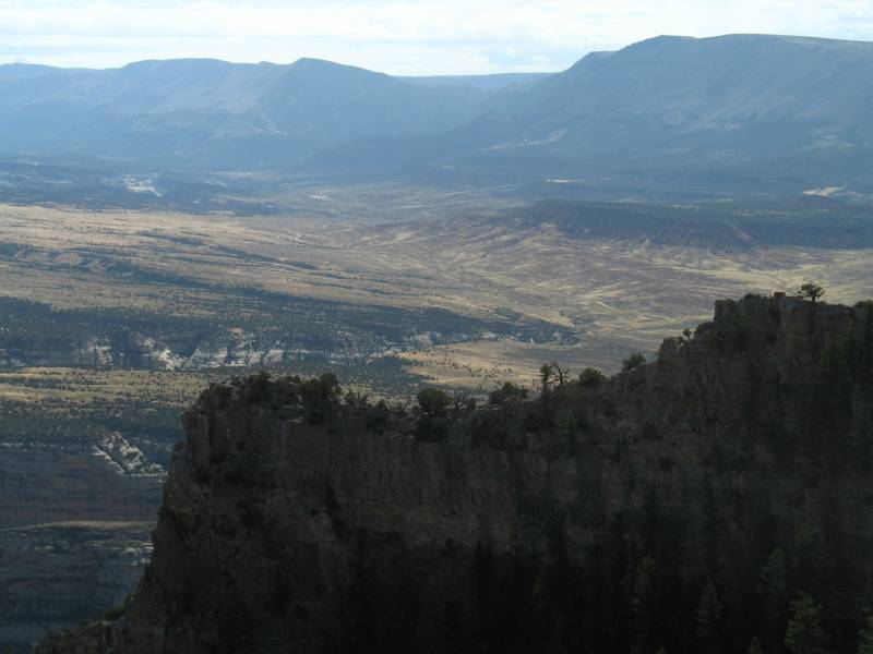
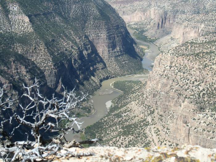
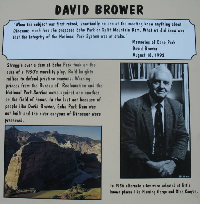
| Park info sign If the dam was approved we wouldn't be seeing the canyons. |
| Panorama Click for a larger size Can you imagine the valley filled with water? |
| There is one road down there. Perhaps some day... |