Sabre Trike
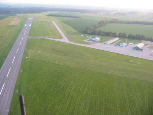
Albertus Airport
Freeport Illinois U.S.A.
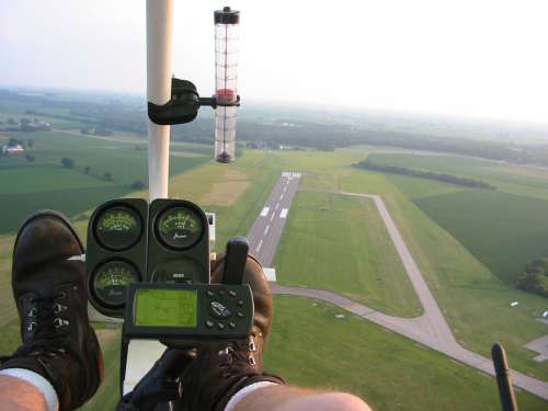
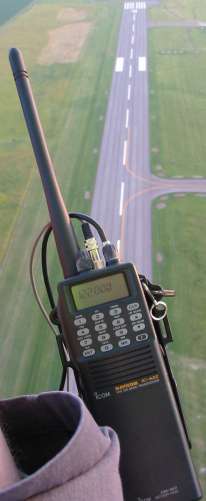
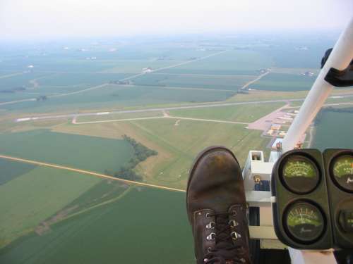
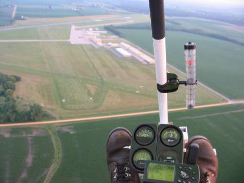
Radio on the right side
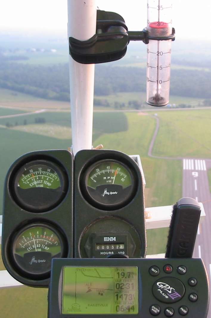
The clear tube with the red disc in it is an air speed indicator. Air comes in near the bottom, pushes up on the disc and exists at the top. Here it is indicating about 28 Miles Per Hour. Gauges, below, indicate the temperature of the exhaust (1000F), cylinder temperature (325F), engine speed (5800RPM), and an hour meter (32.7 operating hours since I purchased & rebuilt it). The GPS, far bottom right, shows ground speed (19.7MPH - which in conjunction with the airspeed tells me there is about an 8MPH headwind), how long I have been flying since the last reset (2 min, 31 sec), Altitude (1473 Feet above mean sea level - ground elevation here is about 950 feet so I'm about 500 feet above the ground), and the time (6:44pm).
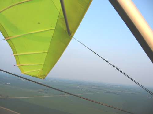
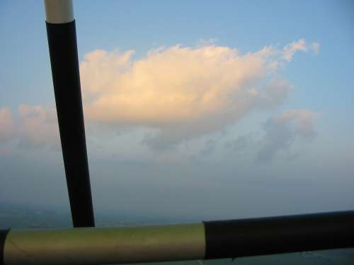
A view off the left side - looking South
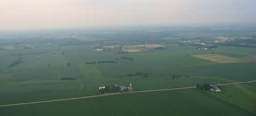
Looking North
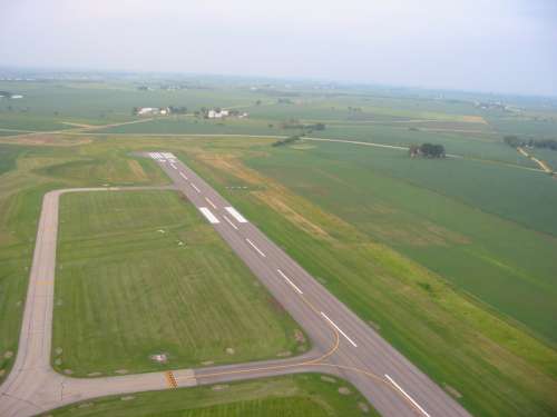
Looking East
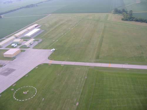
Looking North
Quarry in the center
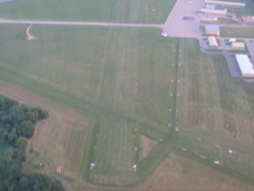
Click the picture for a larger size with markings for the runways

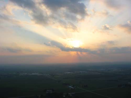
Today was a very hot and humid day - which leads to a good deal of haze.
On a normal day you would be able to see much farther.
Temps were about 85F, density altitude of 3000+Ft
Jim
Video
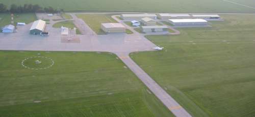
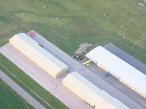
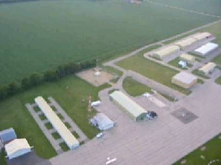
View of the buildings & partial field
vid-1.avi
AVI, 3.8 MB, 20 sec
Video
Take Off
vid-2.avi
AVI, 3.8 MB, 18 sec