| You're viewing
the FULL photo set for Day 2's
photos (71 photos). If you wish to switch to the HIGHLIGHTS photo set (x photos), click here. |
Thursday, June 6, 2021
Canyonlands Maze District - Poison Springs Road to Sunset Pass
| We're
waking up at campsite #1 to travel the red line to campsite #2
(Sunset Pass) We'll drive about 30 miles today so there is no rush in the schedule. |


| The
Poison Springs Canyon Road dispersed campsite. Matt and Trent, sleeping
in their vehicles, try to find flat parking locations. My jeep can park
out of the way with the tent finding a flat spot. This campsite is high on my list (Dollhouse #2 in a couple days will be tops in my book). |

| Morning sun for blue sky and golden rock. |

| The campsite is in the trees at the left,
close to the rocks. |

| On the rocks at the campsite (sadly, vandals have visited) |


| Open grazing cattle. Notice the very little
one on the road. |


| Water would be present here and there. |


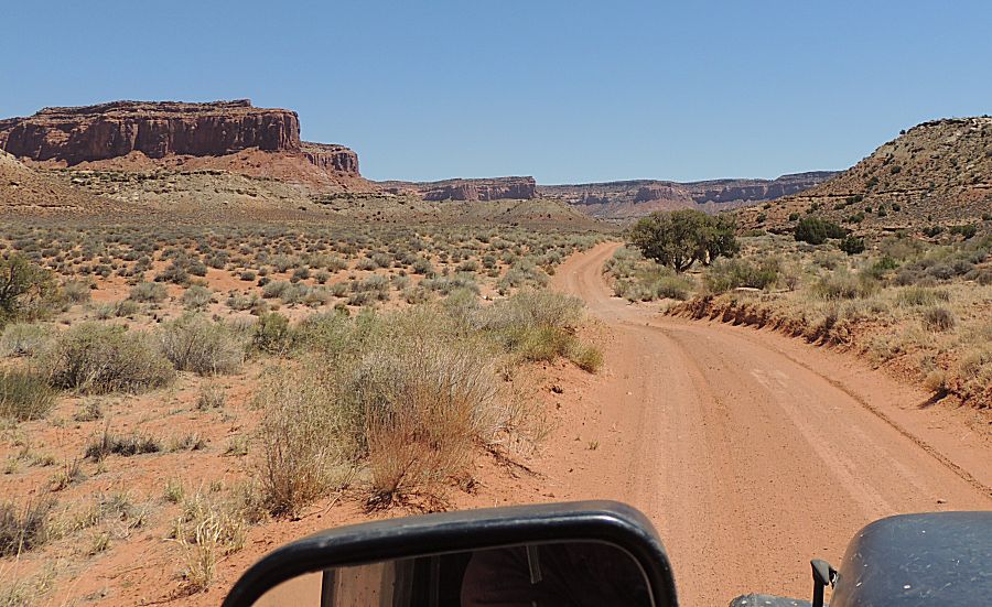
| Things are turning a bit more dry with views
opening up again. |


| Dropping down in elevation |

| Matt |

| Trent |

| Now for me... |

| I
stayed back a bit (sometimes too far) to stay out of the dust (both for
better photos and to not needlessly fill the air filter). |


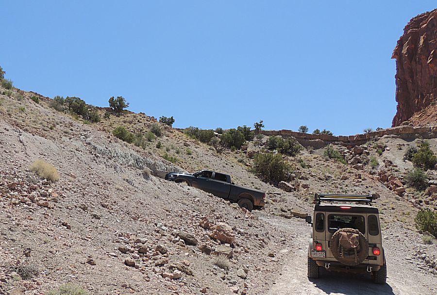
| Overlook photo As I frequently comment - there is no perfect offroad vehicle. Matt's truck offers ample carring capacity though the shorter wheelbase of the jeeps will allow us easier turns in the tight spots. |

| At the Dirty Devil river crossing. Anyone notice the oddity atop the light colored rock? |

| Here's a closer look. My guess is water level reporting. |

| Matt crossed and walked back to take video.
Trent's crossing now. The water level was low - perhaps less than one
foot. |


| Matt across the valley with the road winding
up another valley. |

| `pulled
one of Sue's cookies from the fridge - a cool cookie with some good
views. Looking west at the snow capped Henry Mountains |


| We'll bump in and out of the notches at the
left side of the wide area. |

| rinse and repeat - five or so times - in and
out - moving at the same level to the right edge of this photo. |

| Some perspective of the grand scale - two
vehicles shown here. The next photo down shows the larger view. |


| Looking back. |


| An abandoned / old car that was turned into a
trailer (camper?). There's no engine and a trailer hitch extends out
the front. |

| At what point does something turn from trash
that should be removed to novelty that should remain? |

| Old refrigerator near the car. I'm in the
"it's trash" for this item. |

| A pleasing view with a twisting, rolling road. |


| Do
recall that the starter motor in the jeep
started acting up at the gas station. I turned the jeep sideways in the
trail so that I could take this photo (turned left - looking left /
back out the driver's window). In the act,
I stalled the engine. Hitting the key - no joy from the starter motor.
Also recall that I have
been hanging back to have dust free photos the two guys ahead didn't
see me. If nothing else, they would turn around at some point to check
on me - but again - gas use is on our minds. I picked up the radio and
called for help. There was no emergency or issue of alarm - they'd be
back in a moment to at least pull-start the jeep. While they were
returning (Thanks!) I tried starting it again and by chance the starter
worked. No need for a pull start - this time. A significant component of going off-road with others (well out of cellular coverage and away from passers-by) is that we each offer assistance when needed. Looking back at the Henry Mountains. |


| On the move again... |

| A "straight line" on the landscape - typically
a "mark of man". |


| Matt |


| I think the pass / saddle near the right /
above the mirror is Sunset Pass / our campsite and destination for the
day. |


| Gunsight Butte (6712') @ the Sunset Pass
campsite |

| Parked
on a slight grade with tires turned to help arrest a roll - that's the
mode whenever the motor is to be turned off - be prepared for a rolling
bump start. It doesn't take much. |

| Wow - a fantastic stretch of wide, flat,
smooth road (rare). |


| Looking east. The Colorado River is perhaps in
this deep valley in front of us. |


| If
you spot the road crossing the open area, there is one road that
extends south from this area, somewhat following the river down to
asphalt of UT-24. |

| View to the south at the campsite. Tonight, we will see another show of StarLink satellites - about 60 of them in a line after recently being launched. |


