Canyonlands N.P. Maze District, Cathedral Valley, Bryce N.P.
Sunday, June 18
|
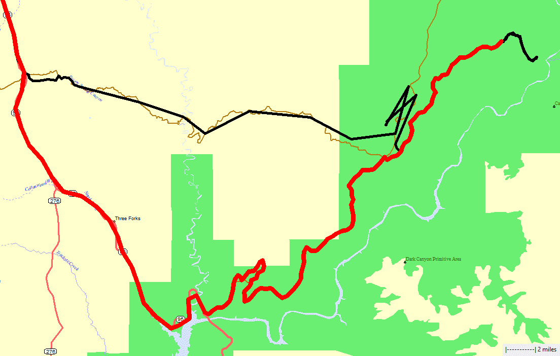
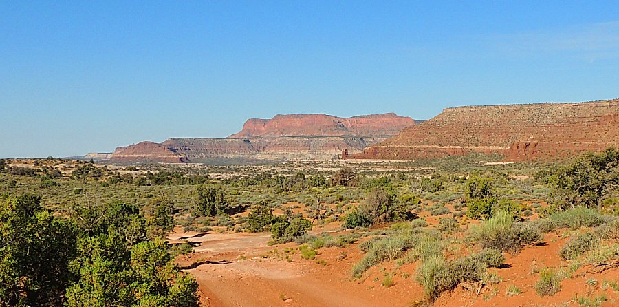
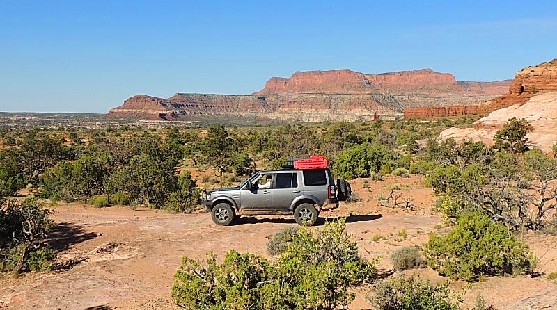
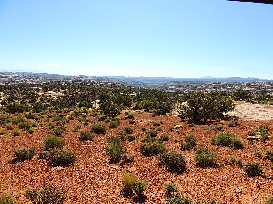
Leave Standing Rock campground, exit out of the park via the south exit
near Hite. The group splits. I'll head to Hanksville for a hotel then decide which direction to head. Do I head home or perhaps
head west - yes west it shall be. |
|
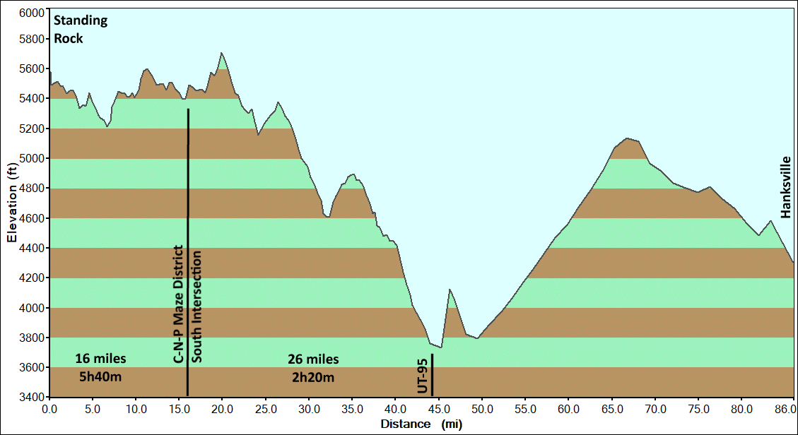
Notable
is the travel time & distance between Standing Rock and the south
intersection and south intersection to asphalt highway (south
trailhead). |
| Name |
Miles |
Elapsed Time |
Speed Average |
Speed Maximum |
| Trail - Standing Rock to South Intersection |
15.7 |
5h 40m |
2 mph |
12 mph |
| Trail - South Intersection to South trailhead (Hite) |
27.2 |
2h 20m |
12 mph |
24 mph |
| Highway - South trailhead to Hanksville |
42.7 |
1h 10m |
37 mph |
66 mph |
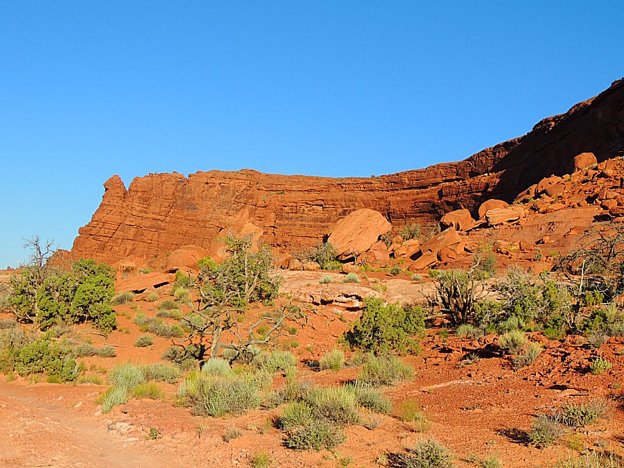
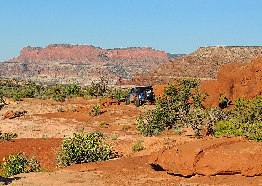
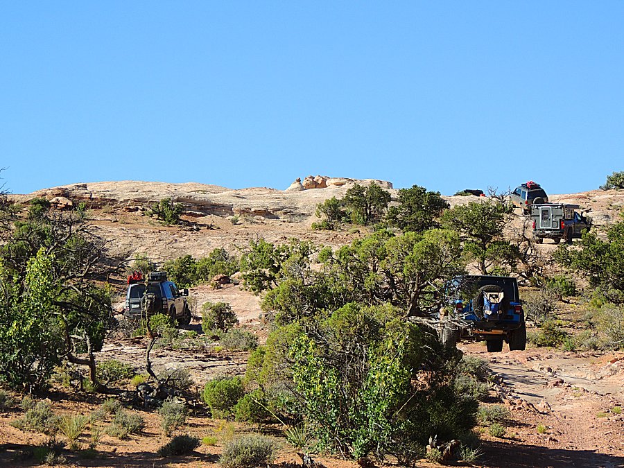
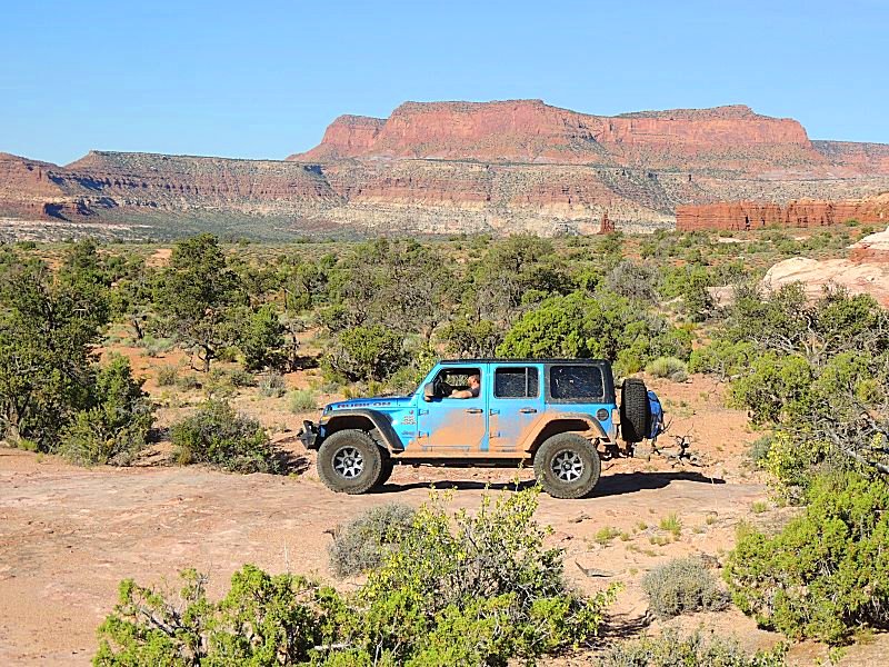
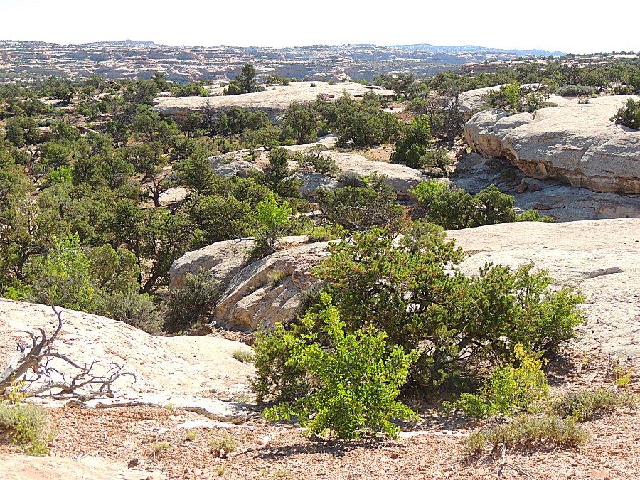
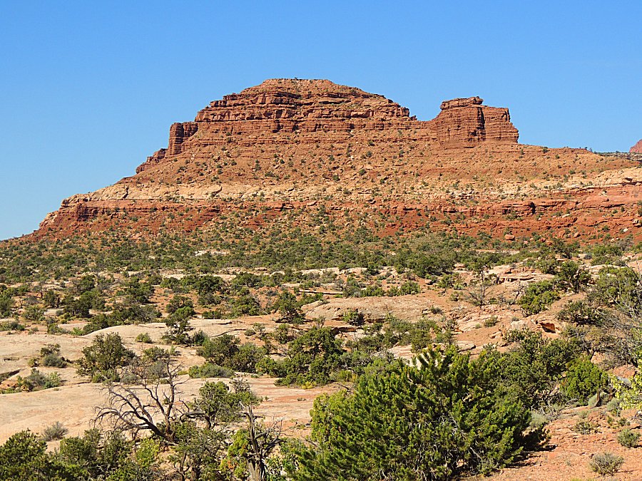
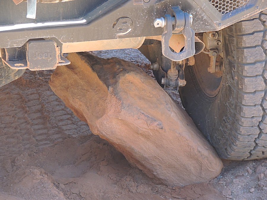
| A rock kicked-up just right to slow the show. |
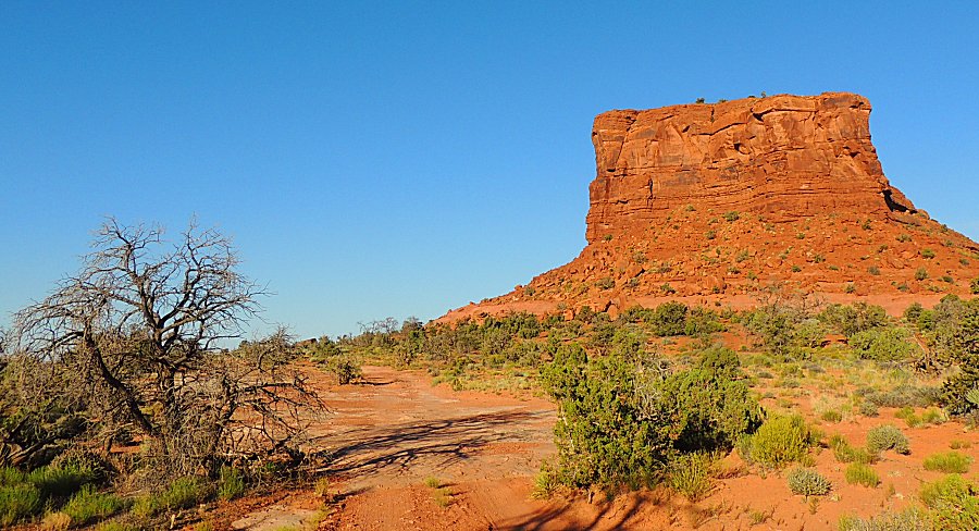
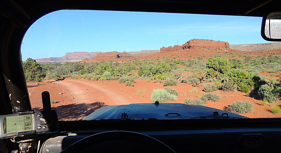
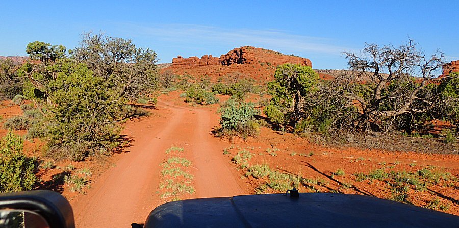
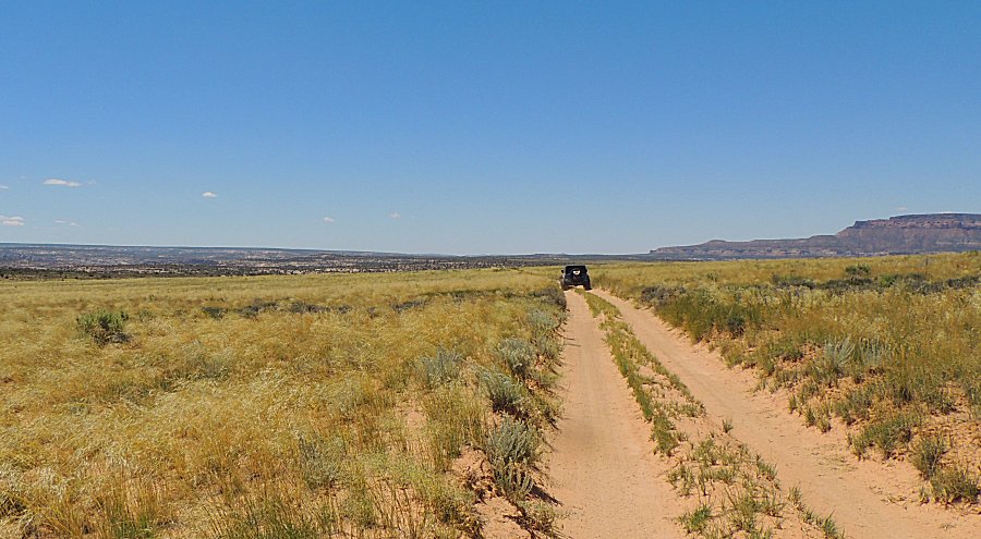
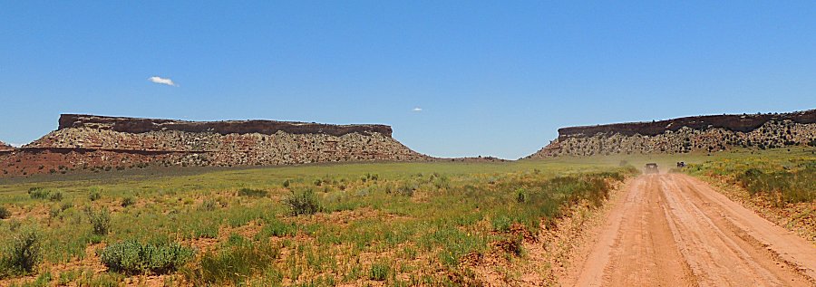
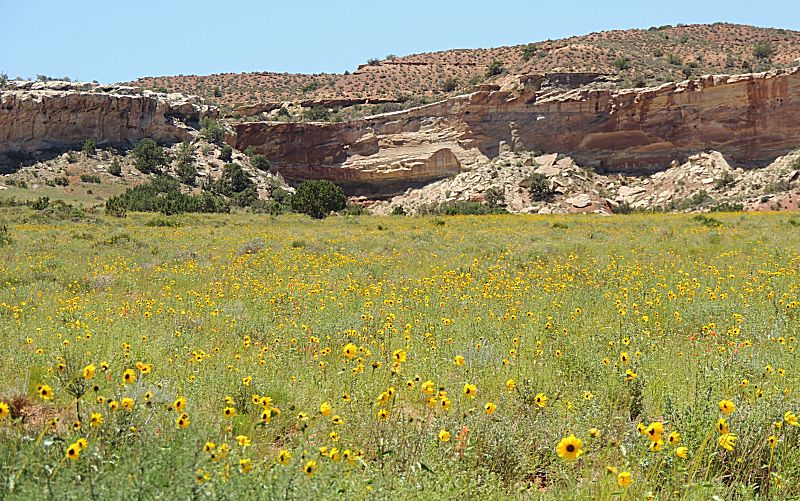
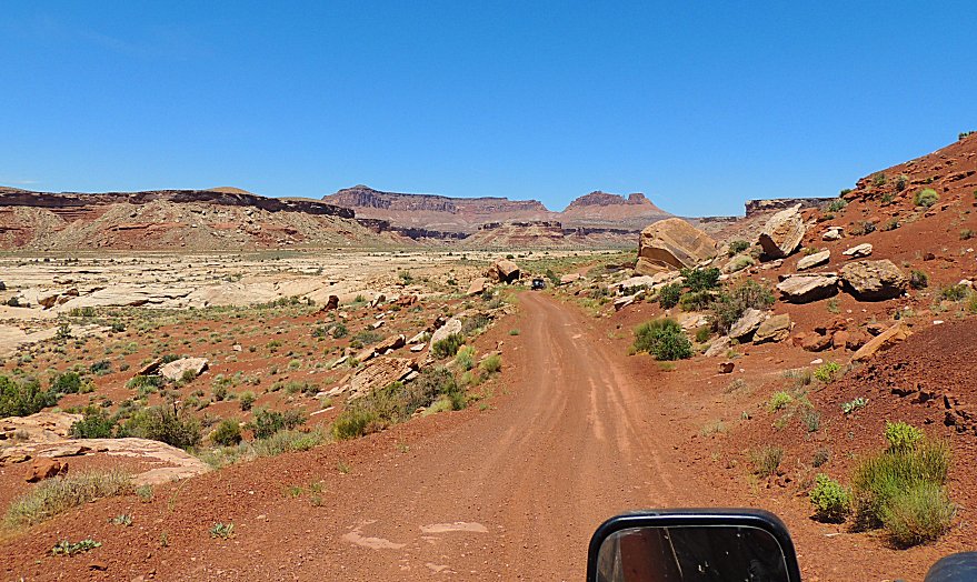
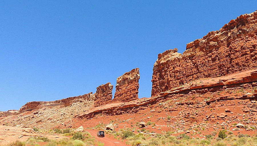
| Southern exit trail - 2WD high range travel |
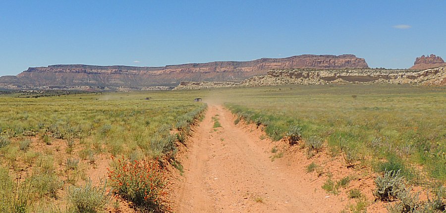
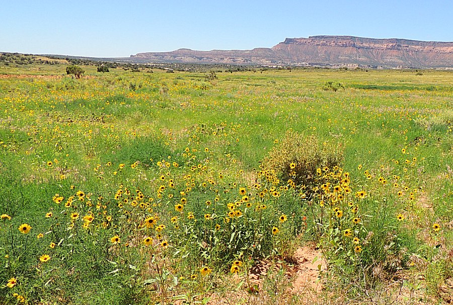
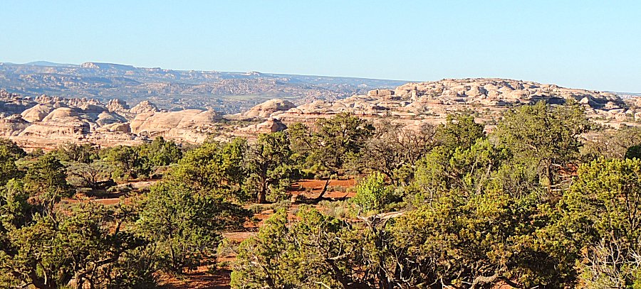
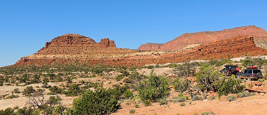
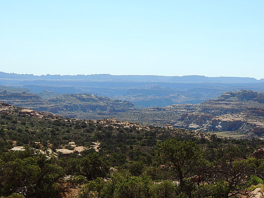
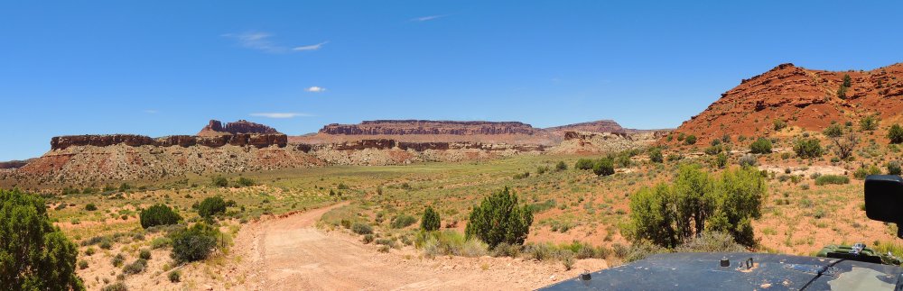
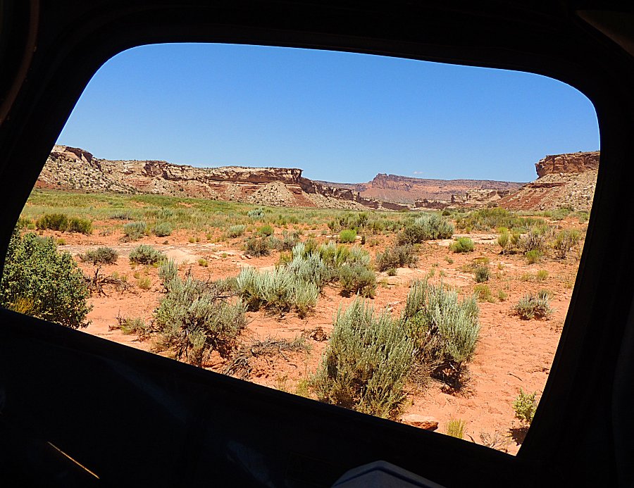
| Panorama (Click for a larger size) |
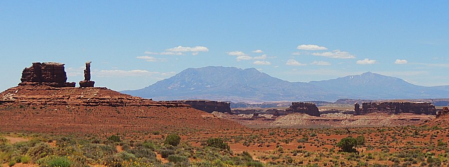
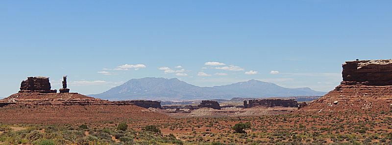
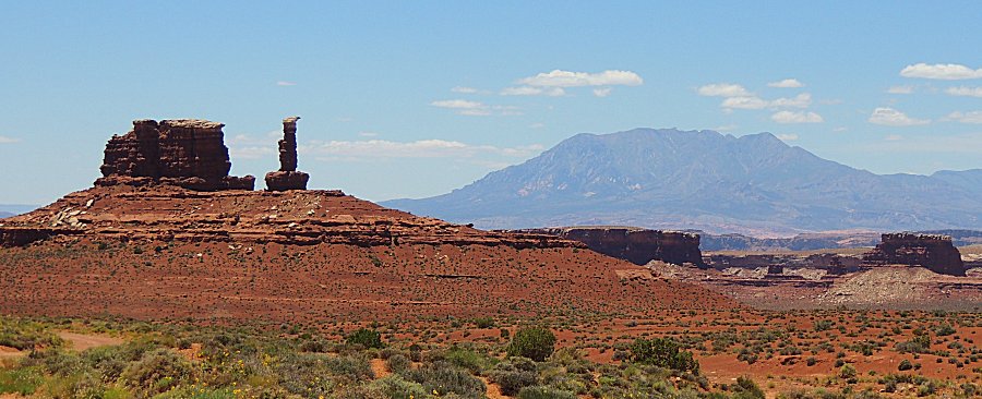
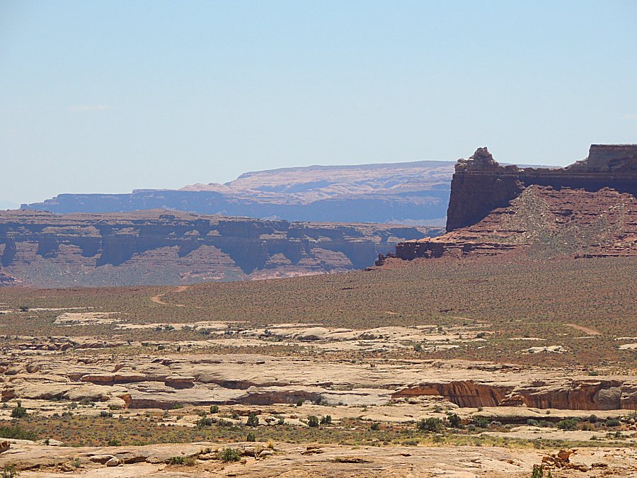
| Henry mountains coming into view |
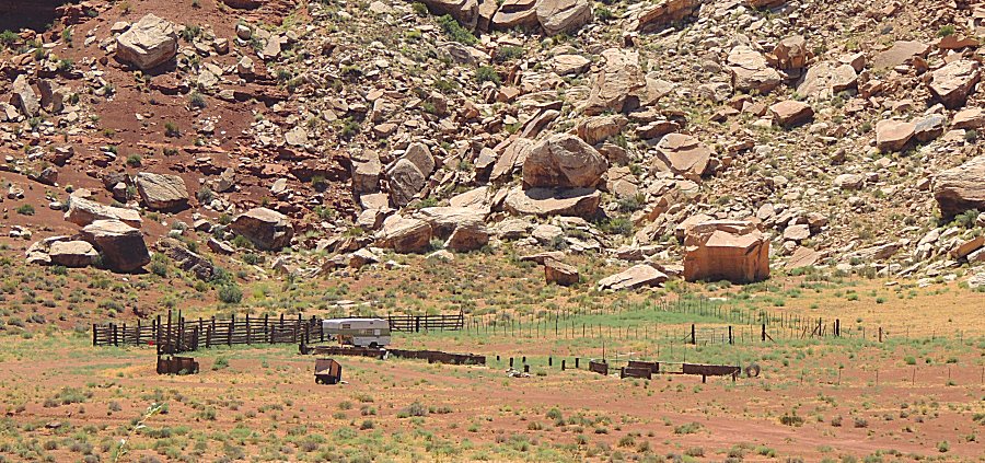
| Cattle camp |
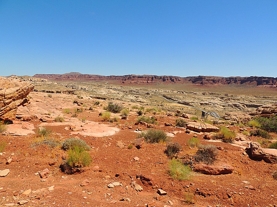
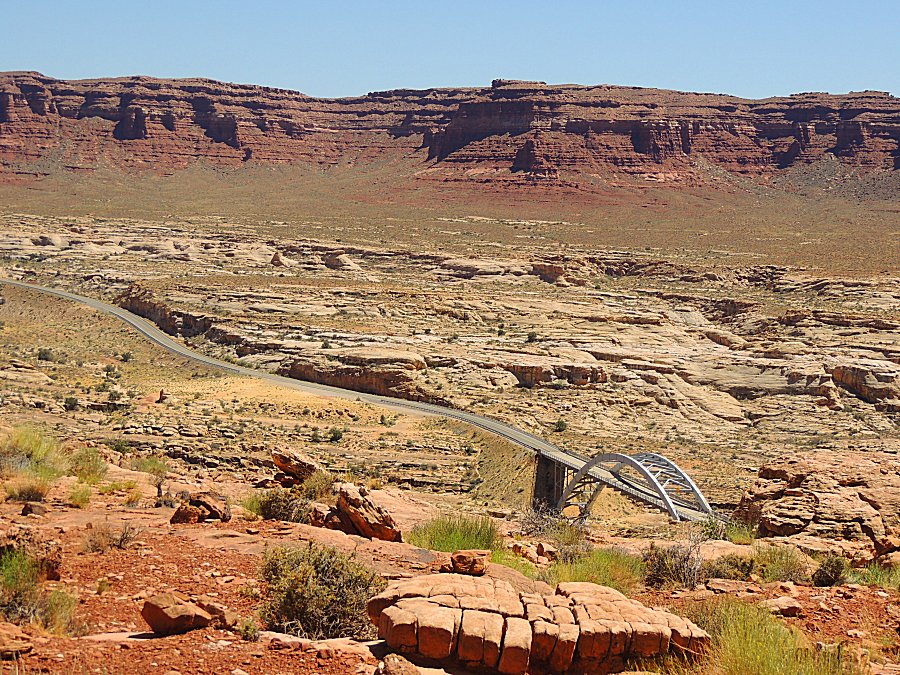
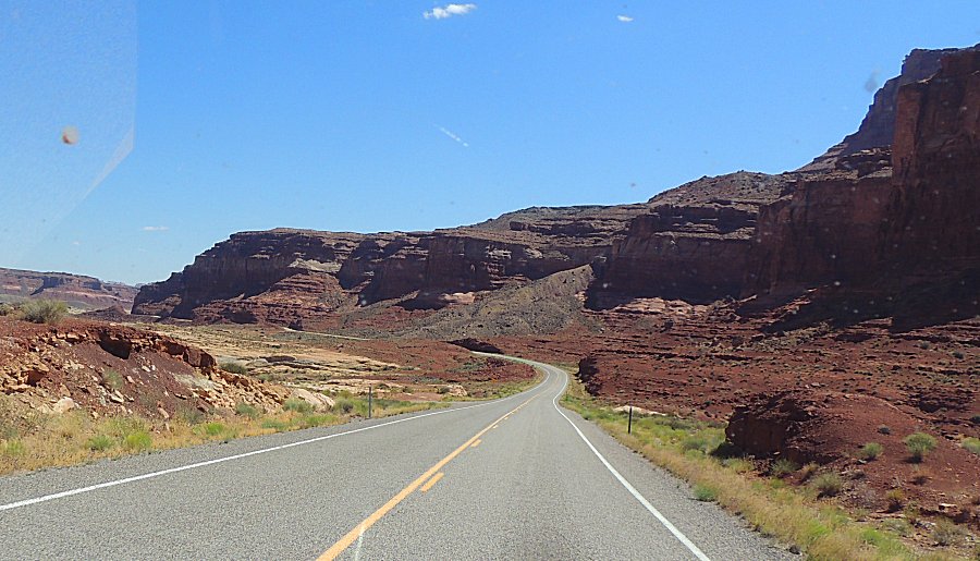
| First asphalt in a few days of driving Utah SR-95 crossing the Colorado River |
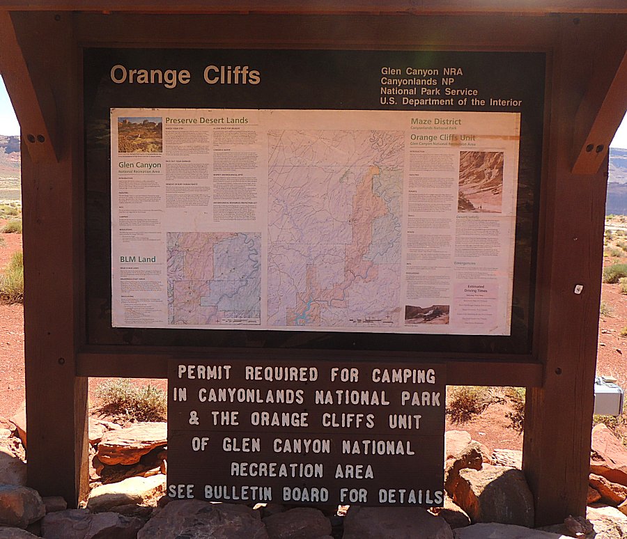
| Most of the group is turning left / south. I'll turn north for Hanksville. |
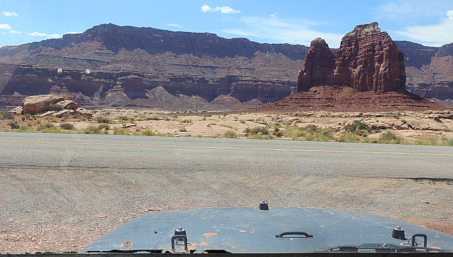
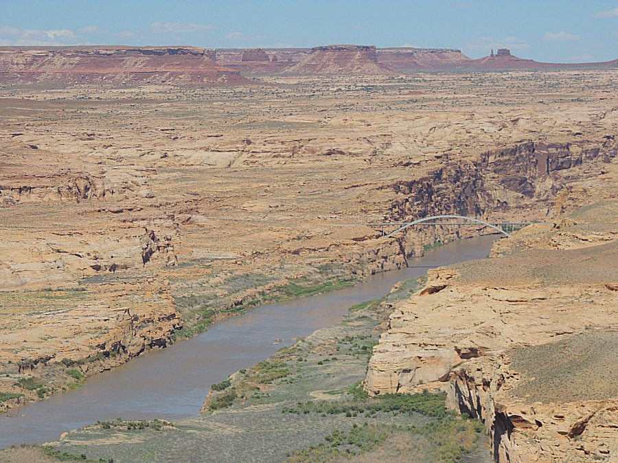
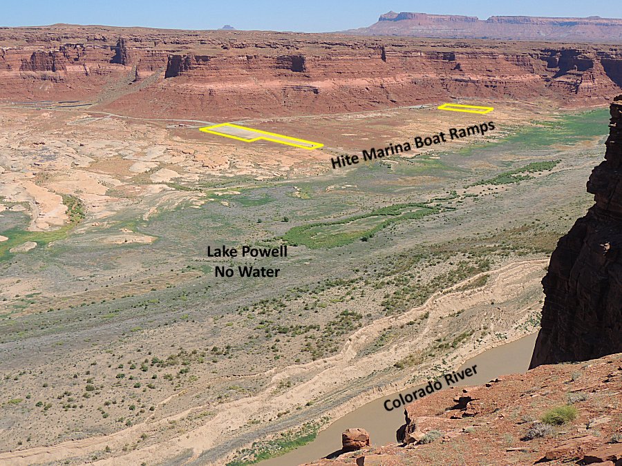
| Hite overlook |