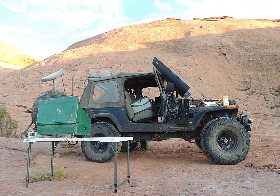
Trail - Hole In The Rock
|
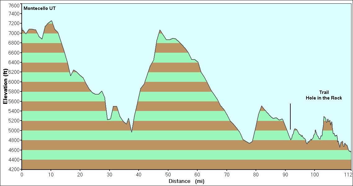
Today is the start of the multi-day trail. Weather looks to be GREAT for the full trip. Yellow line is the track for today. |

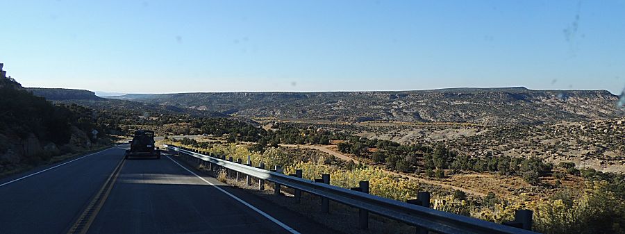
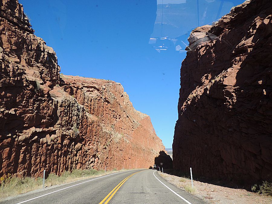

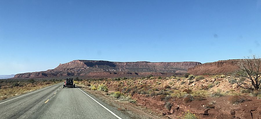
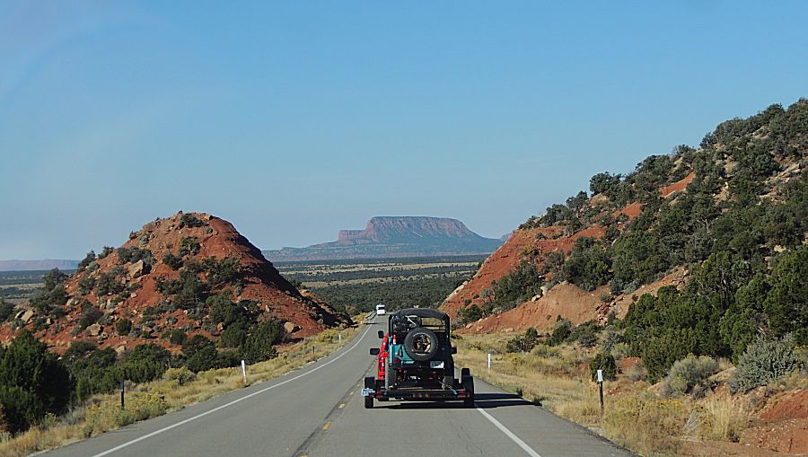
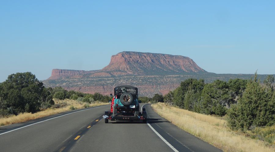
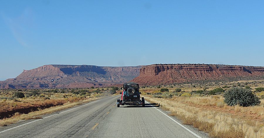
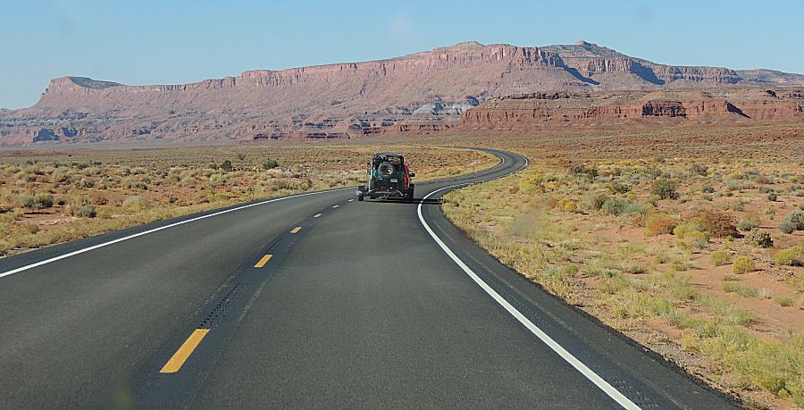
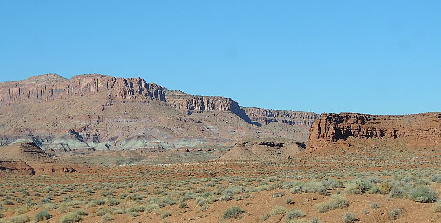

| The first several miles are sometimes bumpy "improved" roadway. |
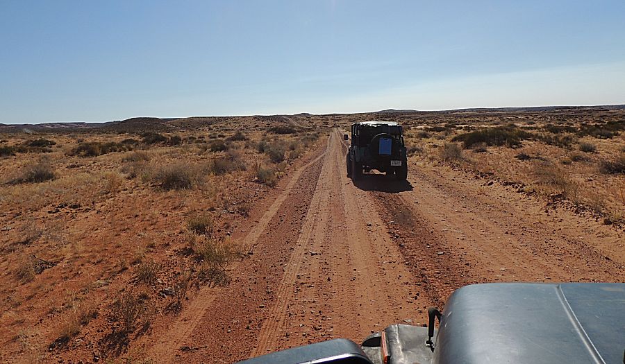
| Wide space |

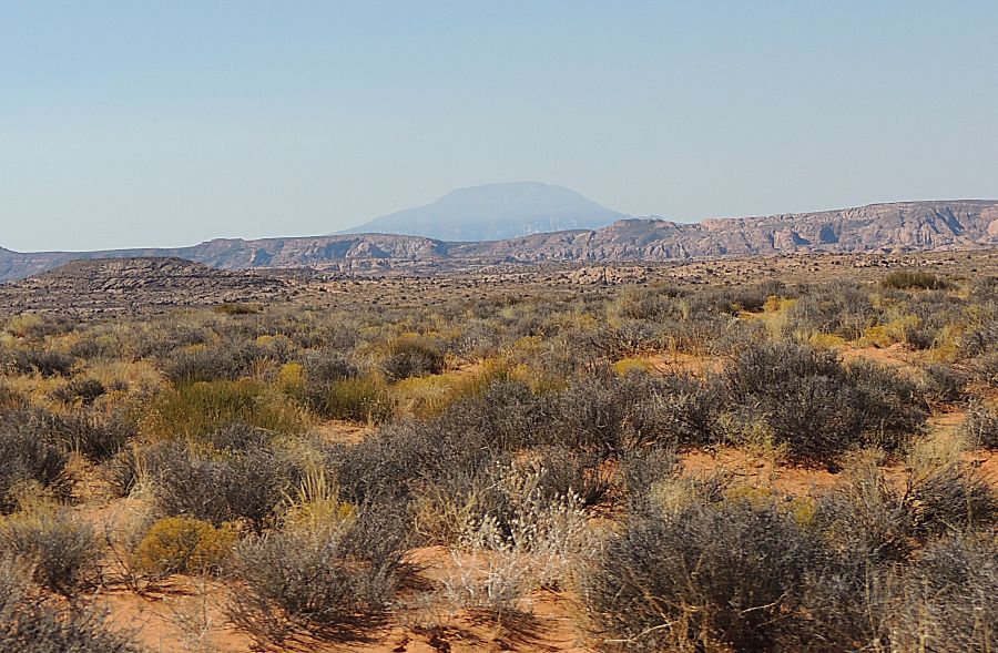
| Navajo Mountain It is south of the San Juan river. We soon discovered - there's a cell tower atop the mountain. When in view, we'll have cell coverage. |
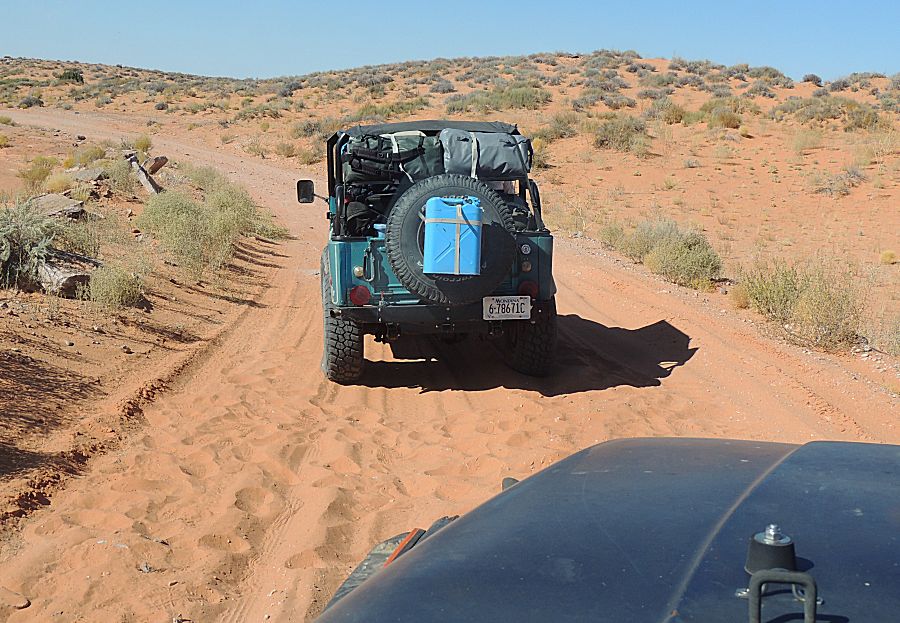
| Footprints in the sand James' water can was a first casualty - 4.7 miles in. A 1/4-20 bolt fractured / failed and the water can hit the ground - fortunately in nice soft deep sand causing no damage. Out come two straps and strap it back into place. The straps worked flawlessly the rest of the trip. |

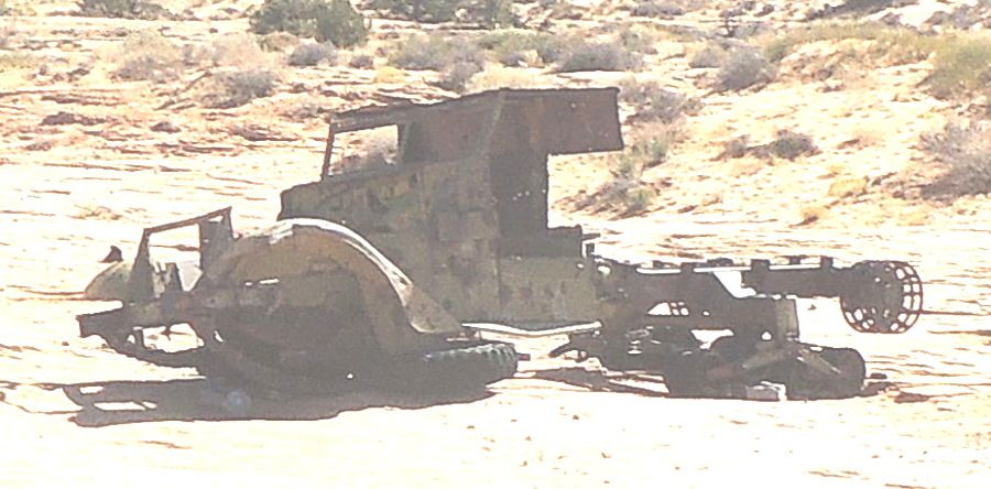
| The half-track. An icon item. We'll stop for pictures on the way out - a goal is to keep moving. |
| Still
on the "road". There were some exploratory shafts drilled a long
time ago - heavy machinery was hauled in and the road to get there
was improved. |
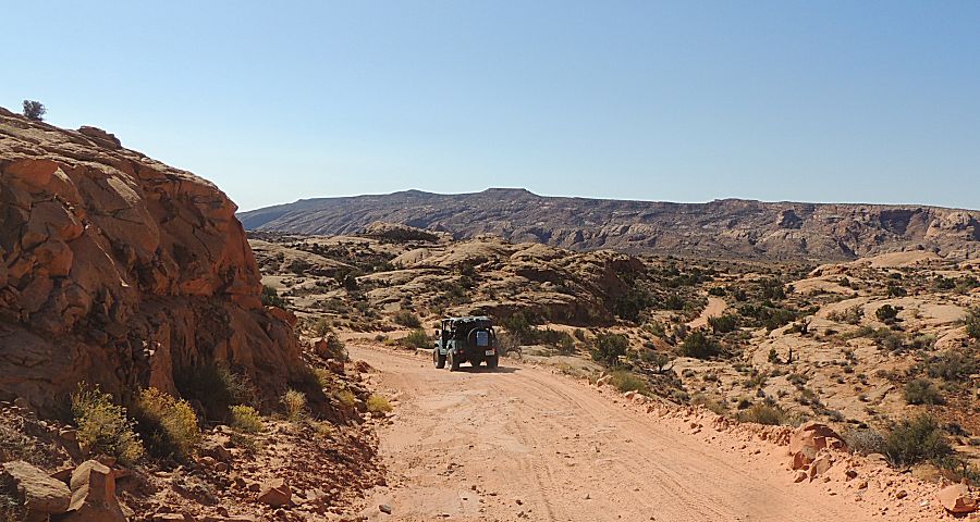
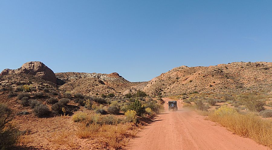
| We're at the intersection where the trail splits from the road. |
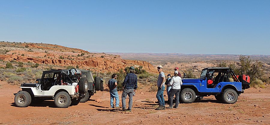
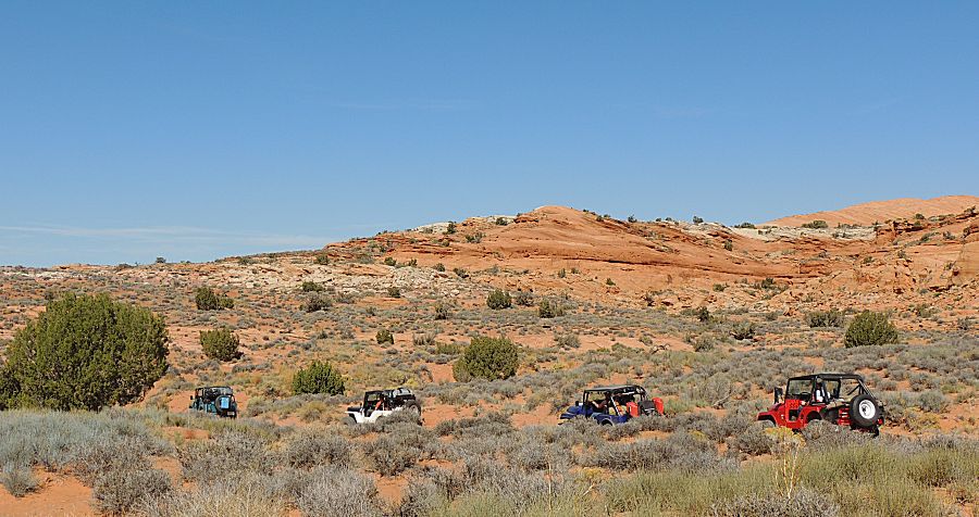
| A view of Lake Powell... |

| ...and Cal Black Memorial Airport just south of Halls Crossing |

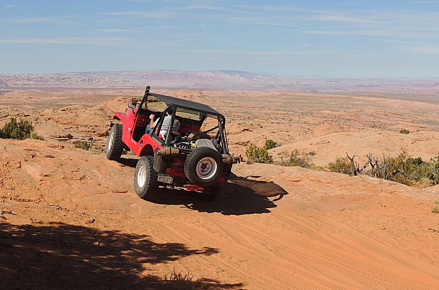
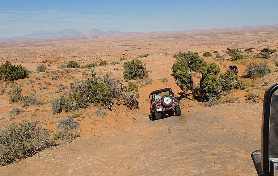
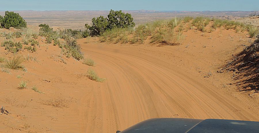
| ahhh - smooth sand - a treat / diversion from bumpy rocks |
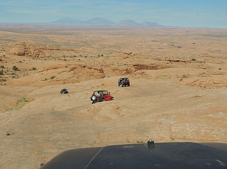
| Henry Mountains These mountains along with Navajo Mountain will be in many of the photos. Henry's - looking north/northeast. Navajo - looking south. |
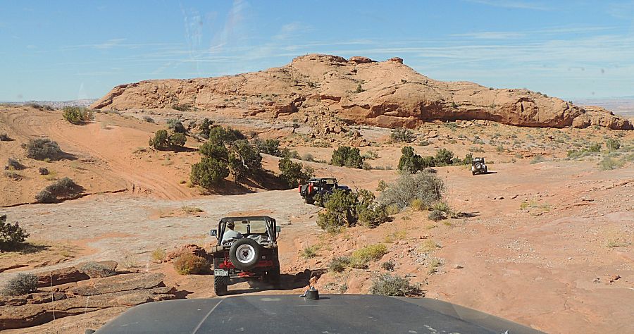
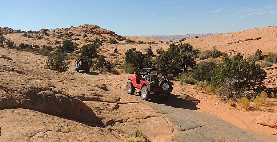
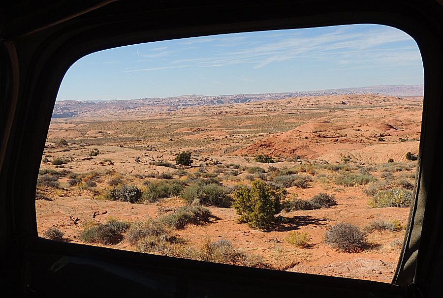
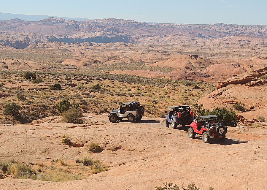
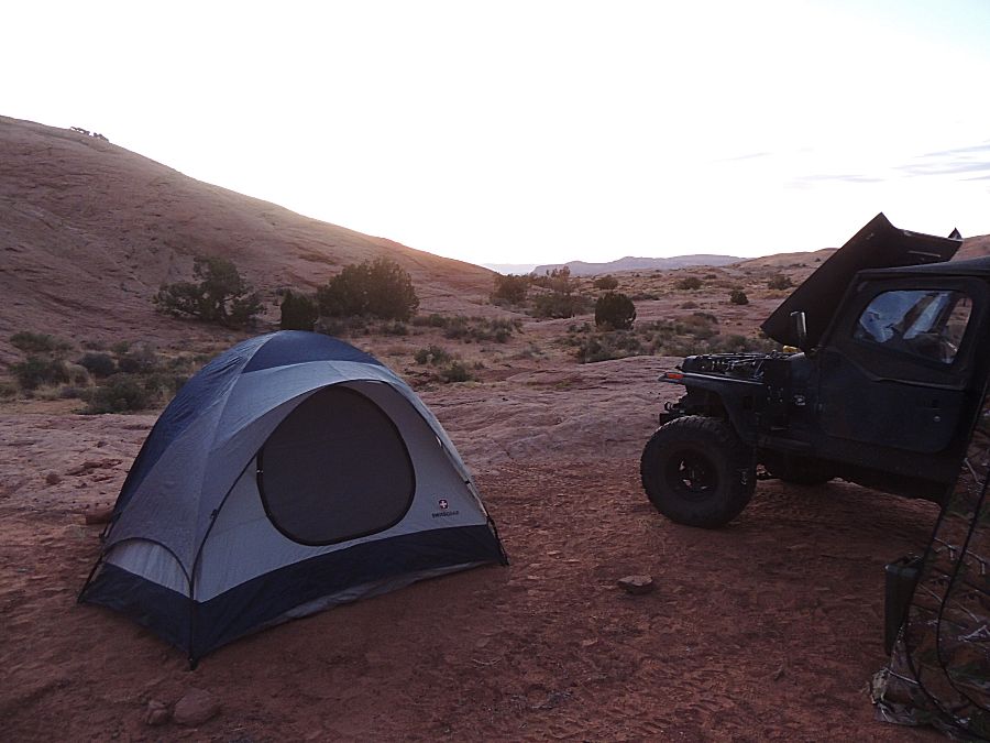
| Camp for the first night I believe the new alternator / rectifier kit is putting out a higher system voltage. I encountered, engine off, the power inverter for the satellite kit getting blown. Unfortunate but not the end of the world. Cell phone charging was wonky as well. Regulator voltage (and battery water level) are items to investigate. |
