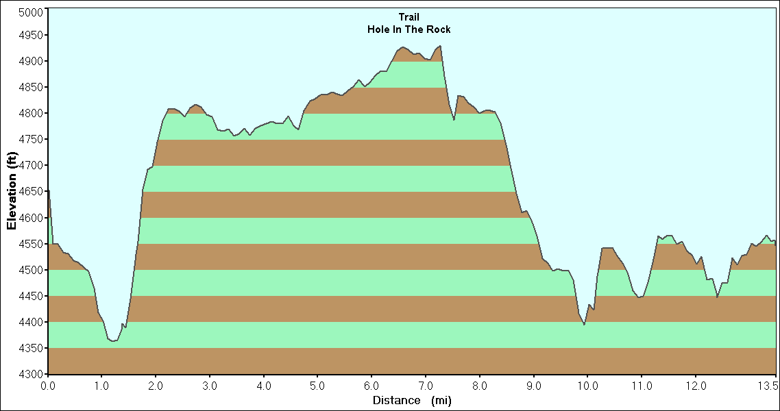
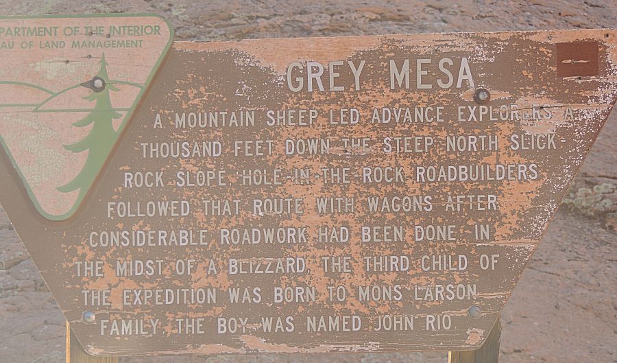
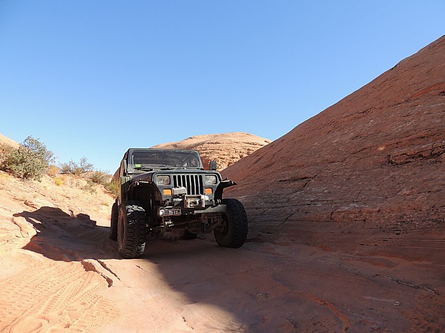
Trail - Hole In The Rock
|
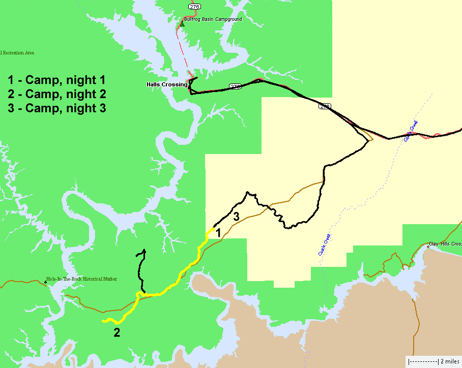
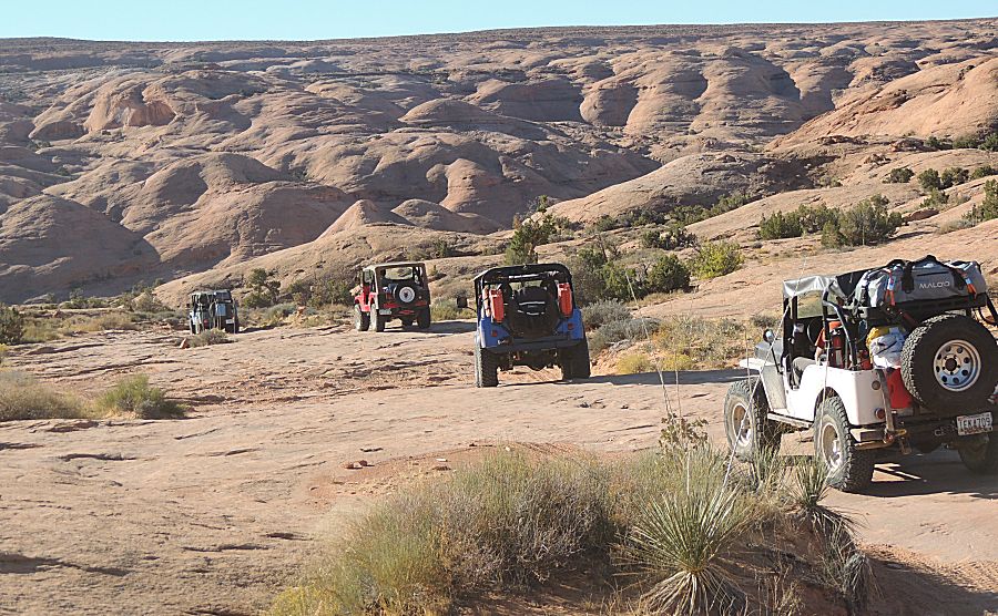
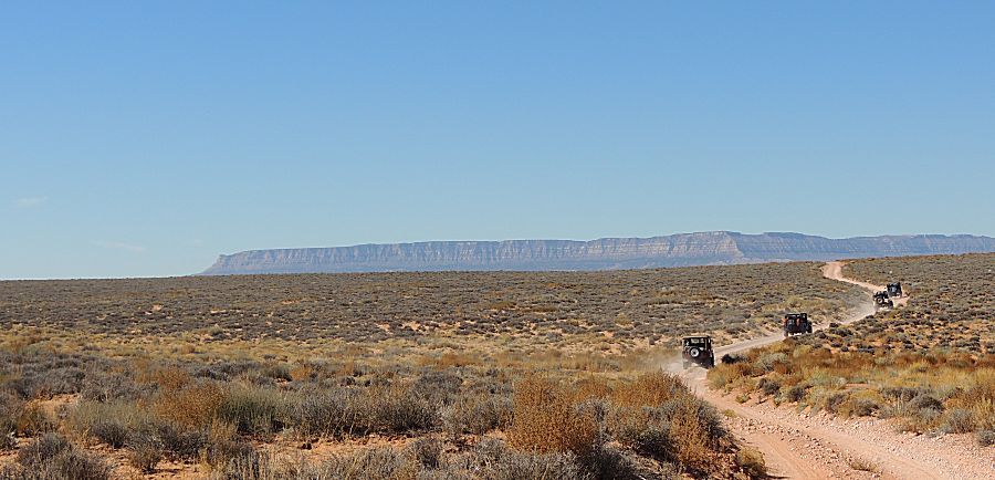
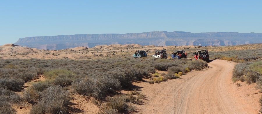
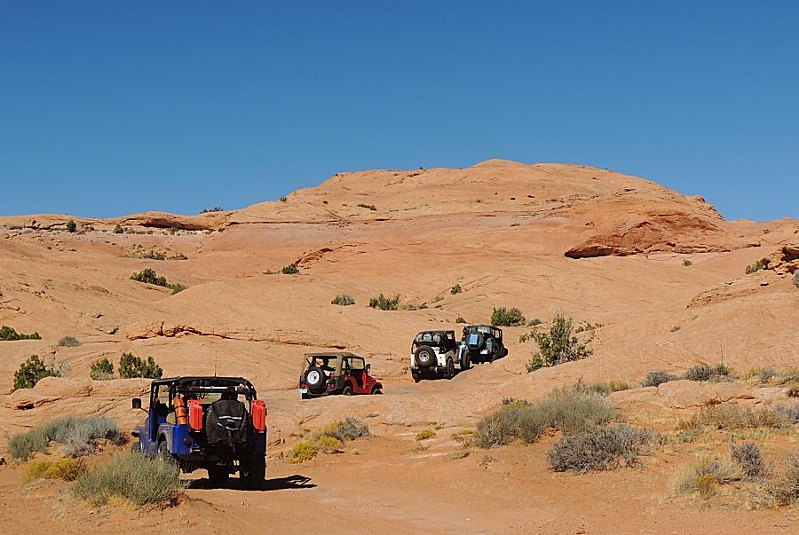
Yellow line on the map - the first full trail day. |
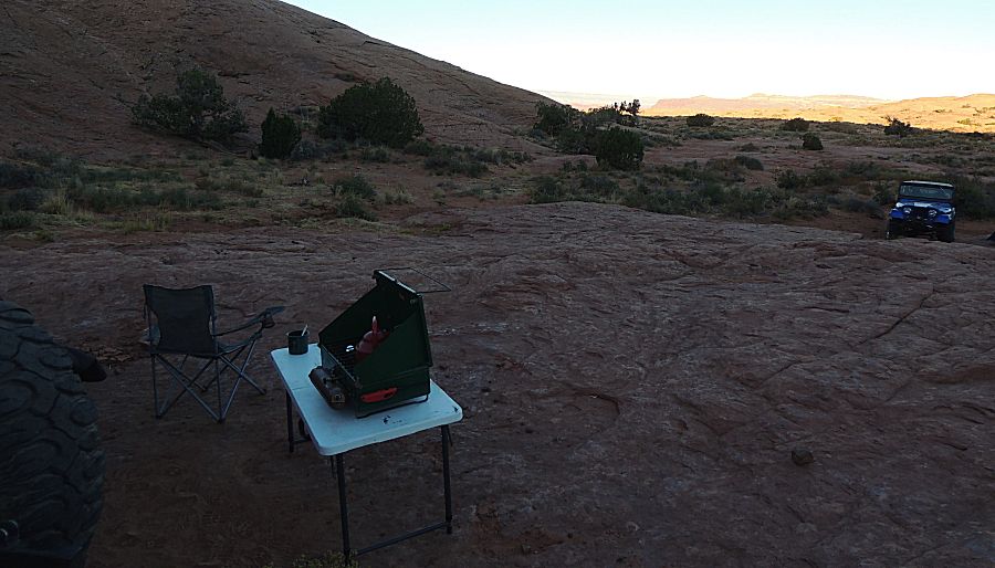
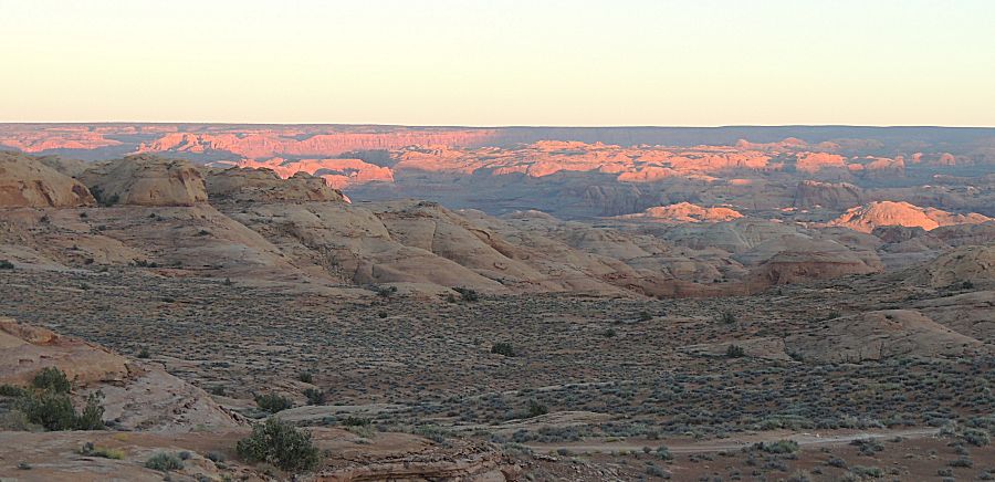
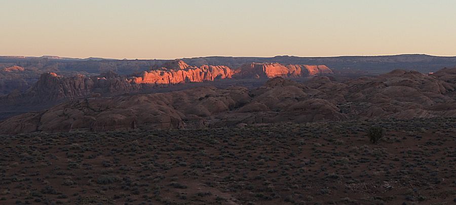
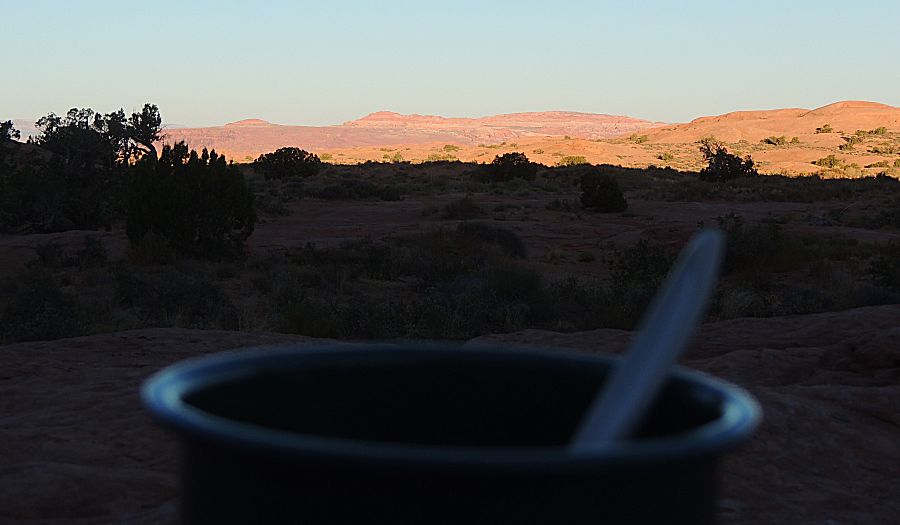
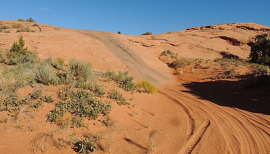
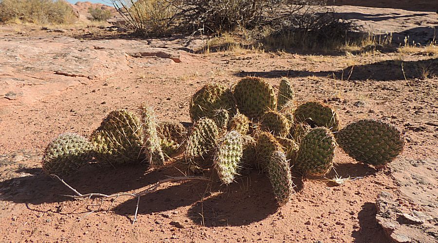
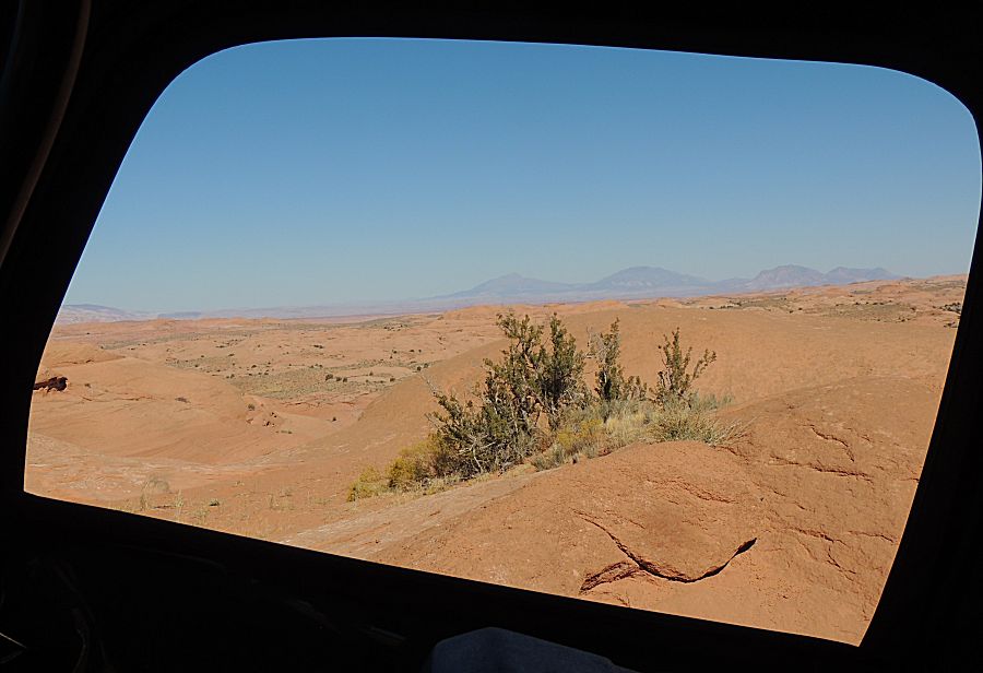
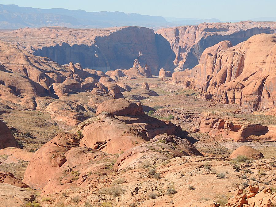
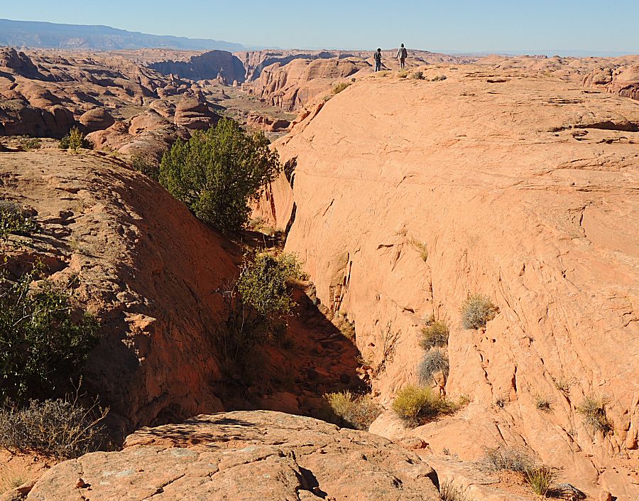
| Nice morning red rock |
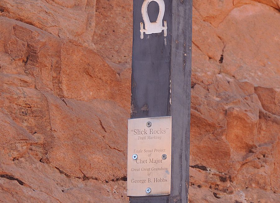
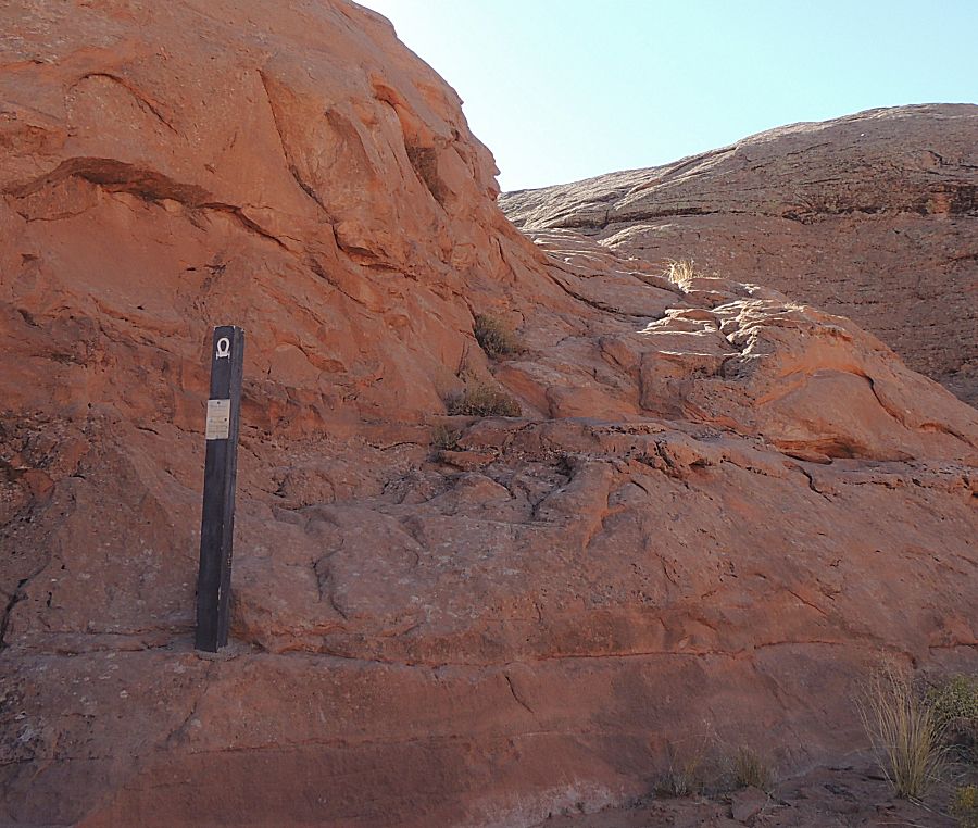
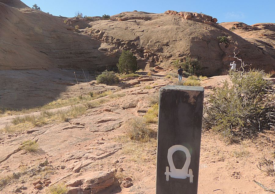
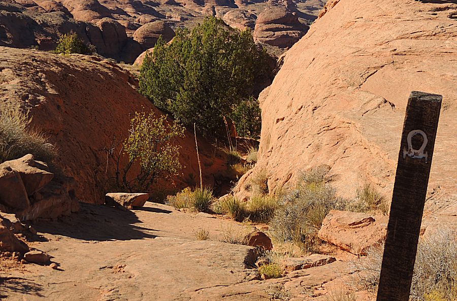
| Hole In The Rock trail marker |
| A section of historic road. Rock was removed to make a surface horses and wagons could travel upon. |
| Another "chopped out" section of roadway. Portions of the jeep trail use the same original roadway - but this original section is not used by us today. |
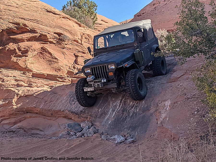
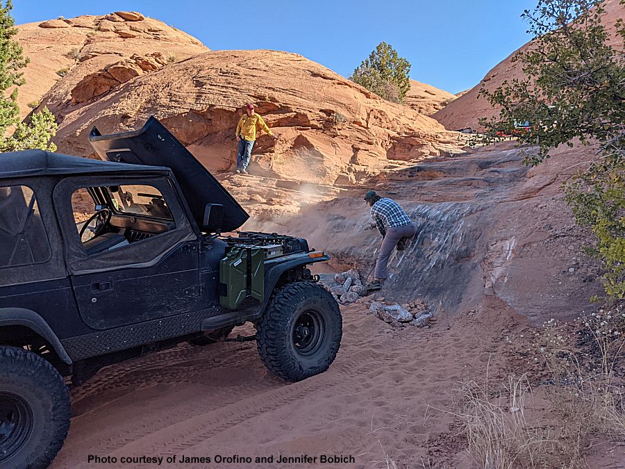
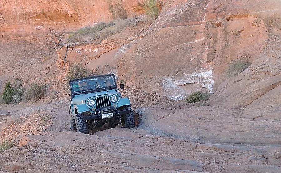
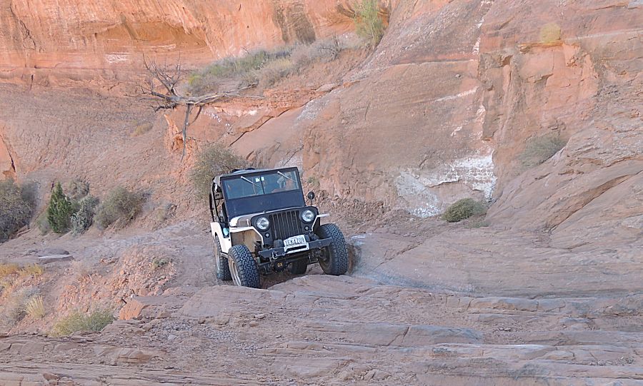
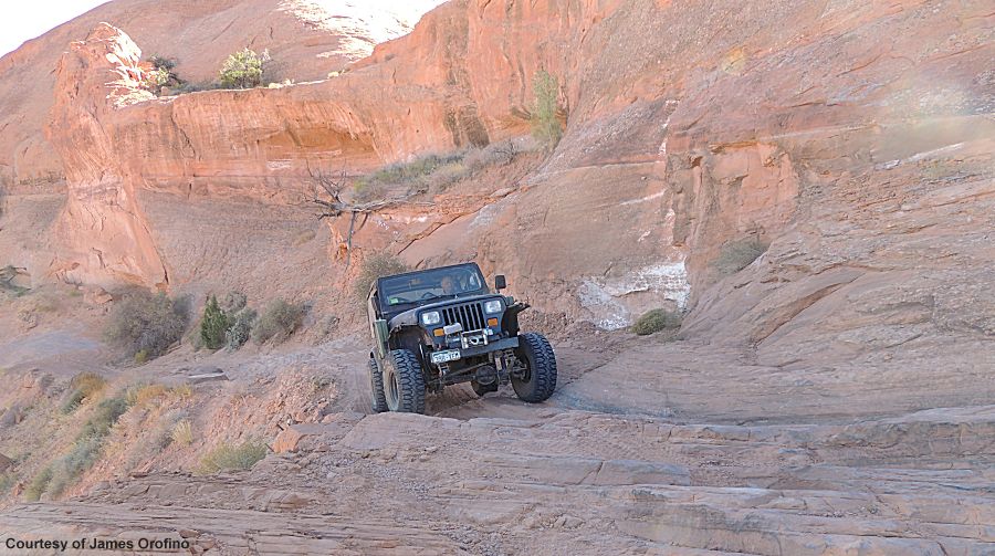
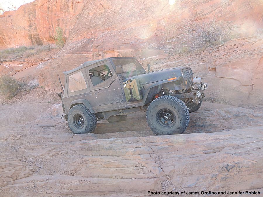
| The
ledge / The wall - I've heard it called both names. It has the
significance in that once you drop down you're committed to being able
to drive up. If you can't drive up - you're stuck on the trail. In the group of jeeps, I have the longest wheelbase and thus would have the best odds to be able to drive up. The other four jeeps stayed behind me - only one would be needed as an anchor for me to winch up. I'm driving down only to turn around to drive up - the full group watching the process. I was unable to get up the ledge on the first couple attempts. Not good. The plan was to reduce air pressure a bit more (14psi to 9psi) and use a bit more momentum. Also tended was to blow sand off the rock surface. The onboard air pump (with blow gun attachment) was put to good use. |
| James giving the surface an air blast cleaning |
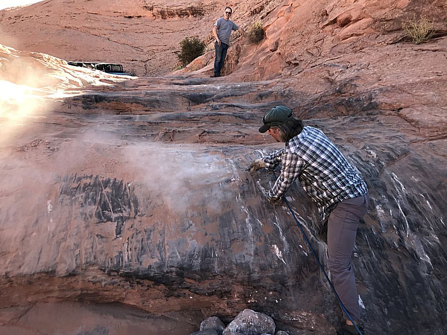
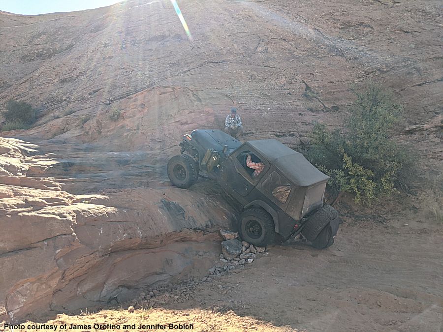
| Between
the three variables (lower air pressure, more momentum, surface cleaning) the attempt was
successfull. With me able to drive up, all of us headed down the ledge
to visit the end of the trail. |
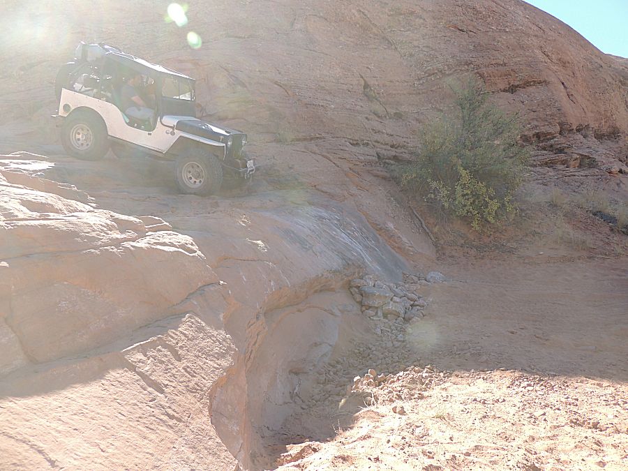
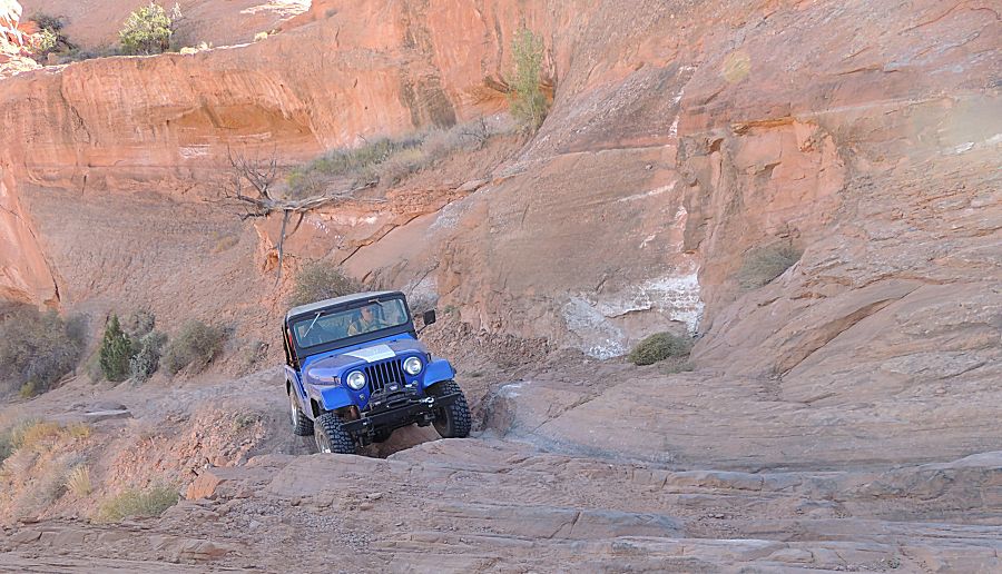
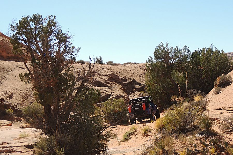
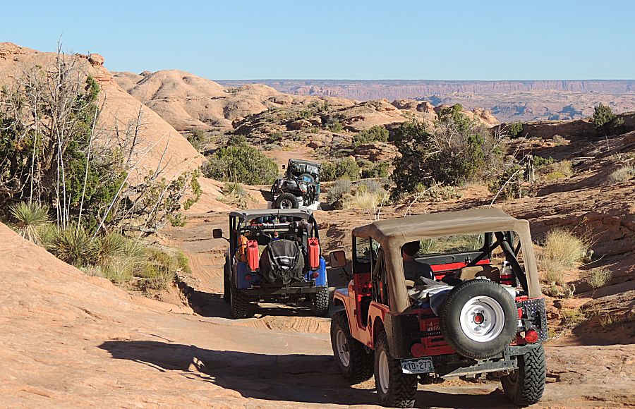
| The rest of the group heading down. |
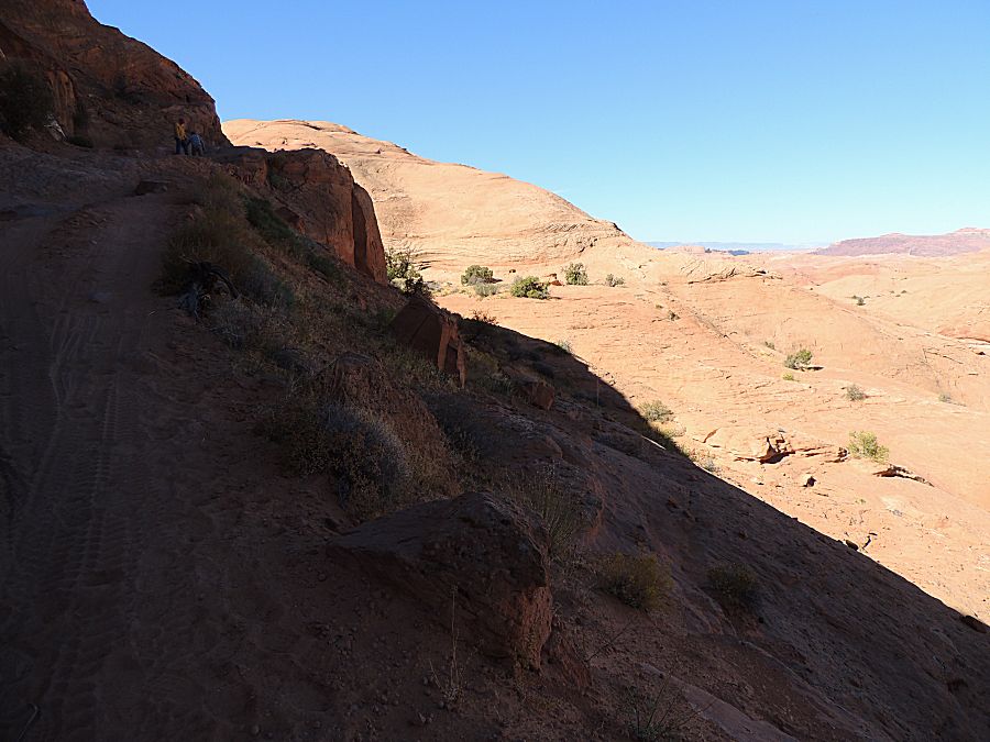
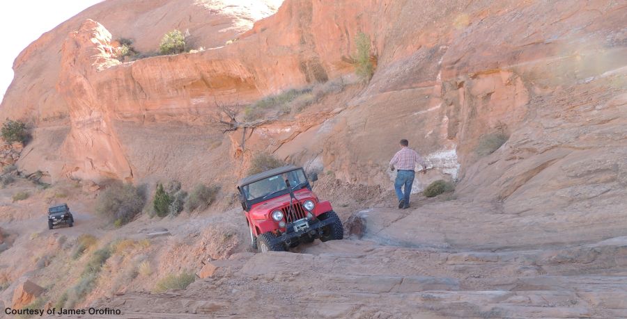
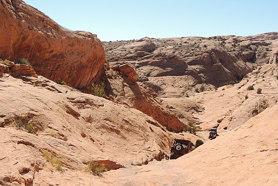
| Shortly
after the ledge / wall was the only other obstacle that gave me
concern. It was a narrow area where the ground had fallen away. In the
end - it was of zero issue for any of us - specifically for me as I was
the widest vehicle in the group. I had perhaps two feet between me and
the area of concern. In my mind, from reading about it / seeing photos
I imagined a tighter area. Fortunately, it was easy / safe. |
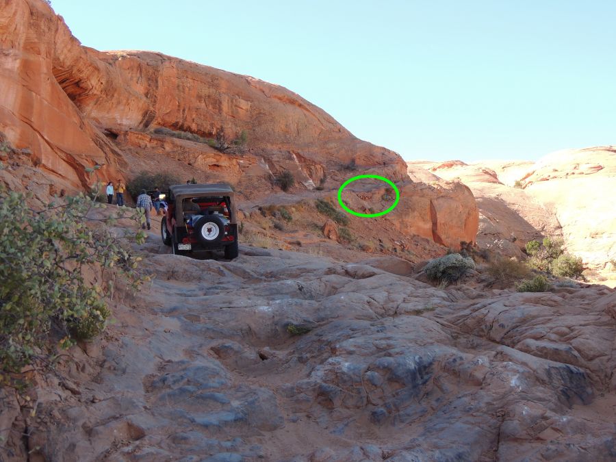
| Trail maintenance drove spikes to build up the area. |
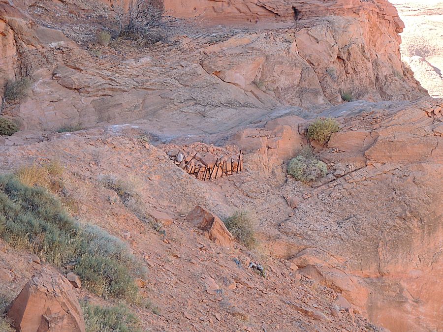
| The reason why a slip could be a concern. |
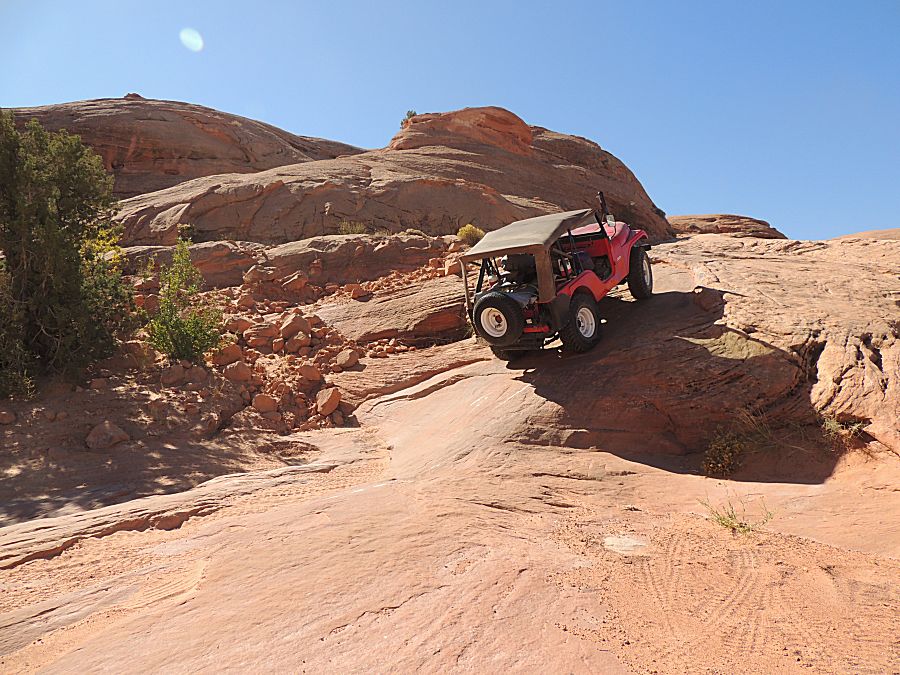
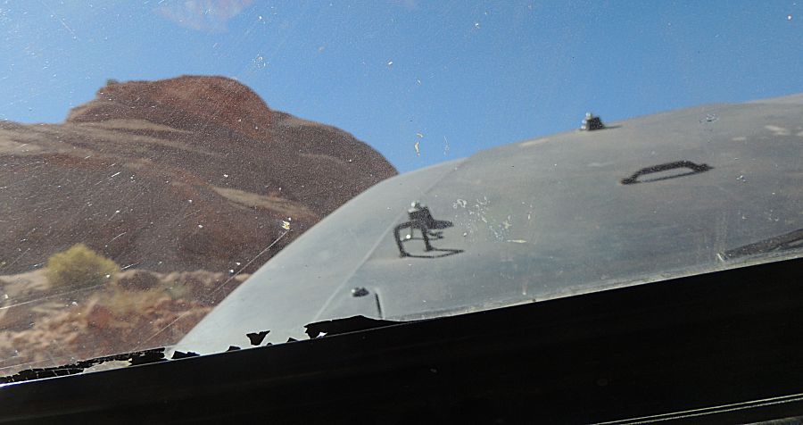
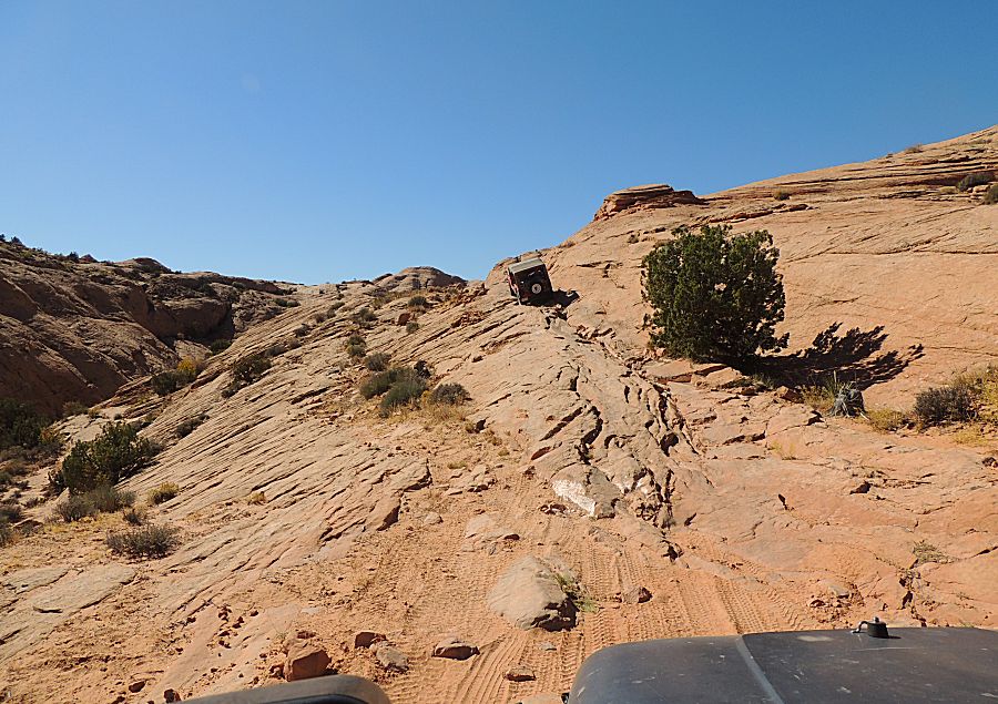
| Here's
a short set of pictures - looking at the reasonably steep uphill in
front of me. One needs to look at the obstacle and make a plan of
travel - turn part way up or keep it straight? Once the hood is pointed
to the sky - the ground isn't too visible. Looking out the door isn't
always easy being pushed back into the seat. |
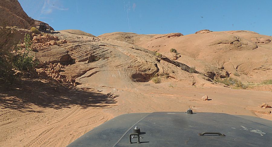
| `can still see the ground - to follow prior tracks. |
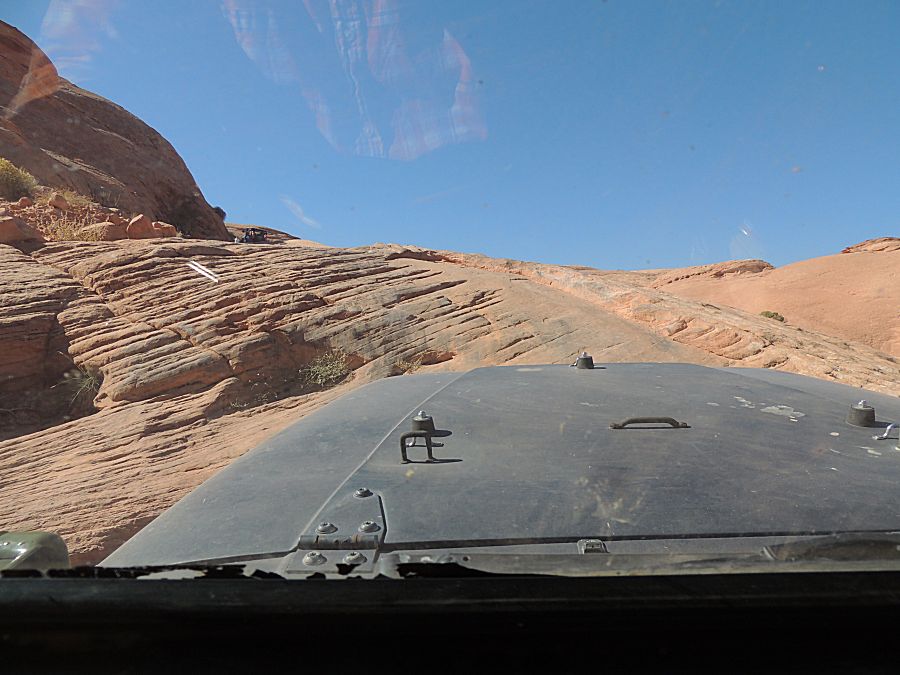
| Then it's sky and memory |
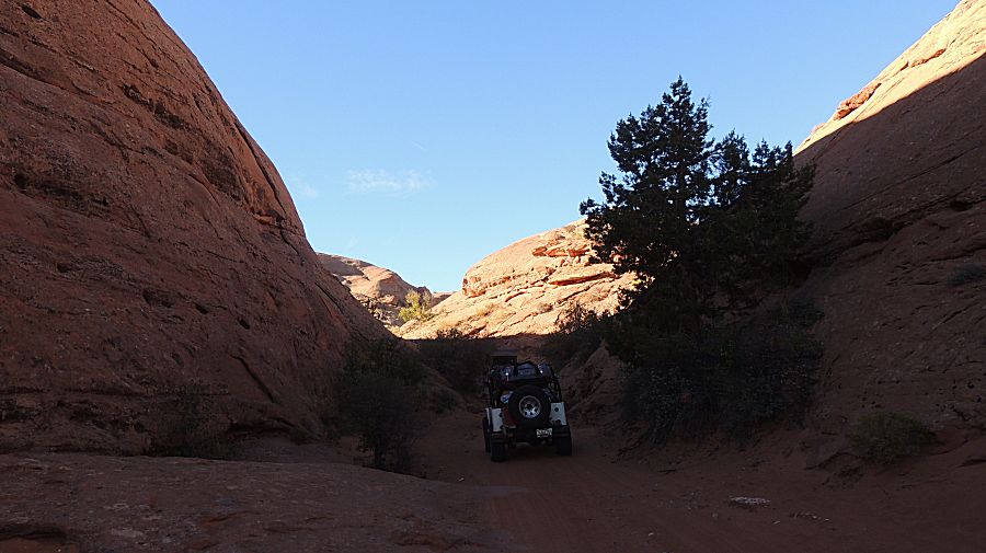
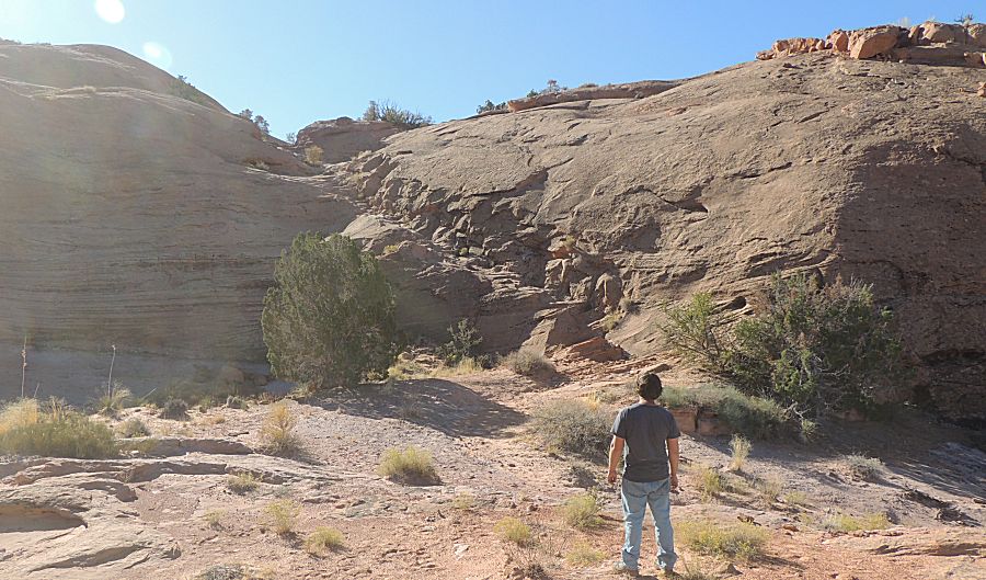
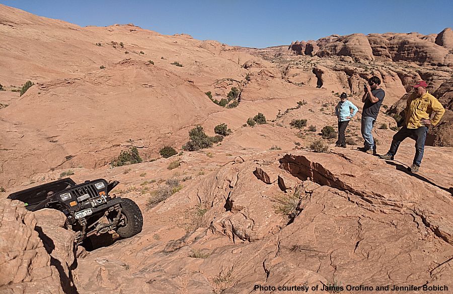
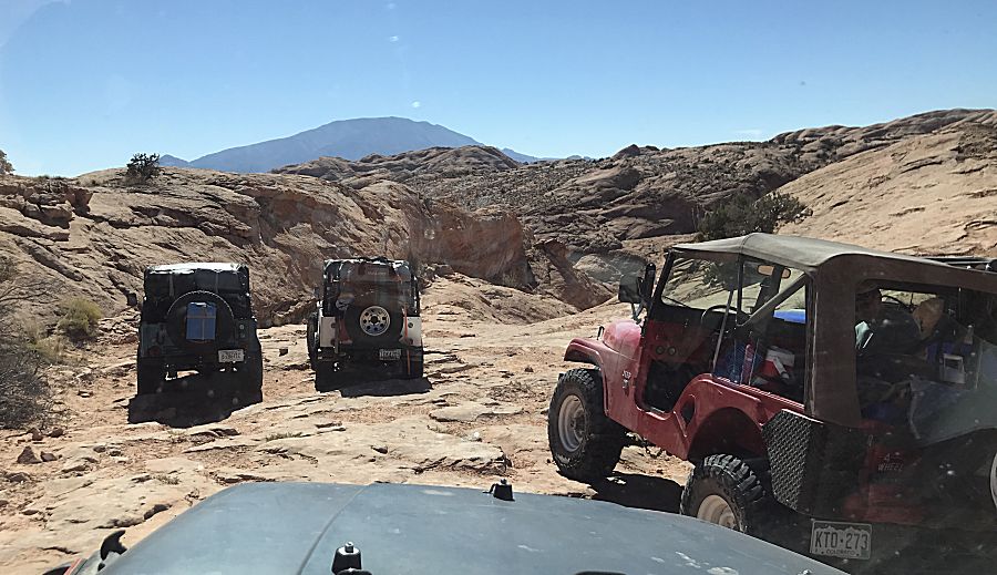
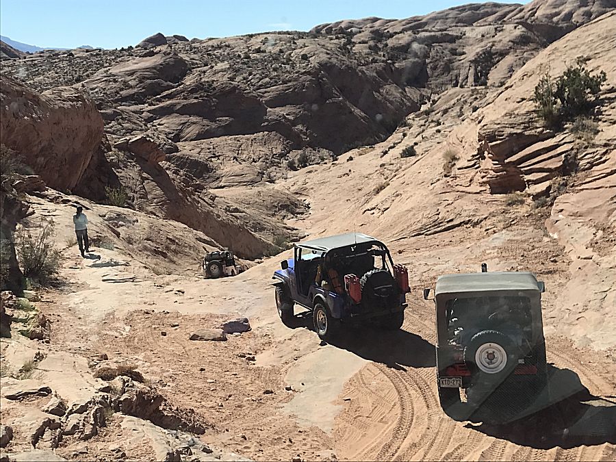
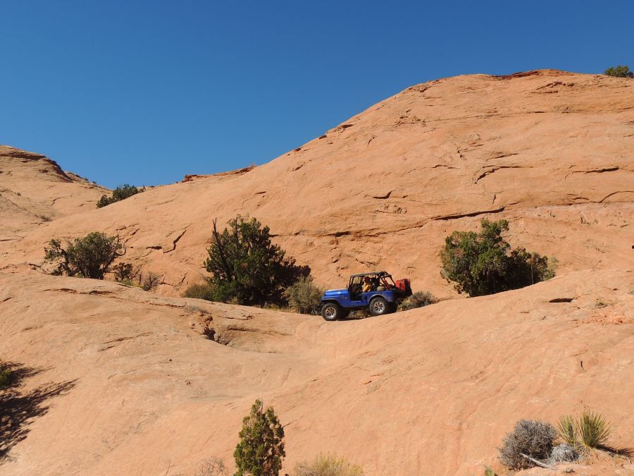
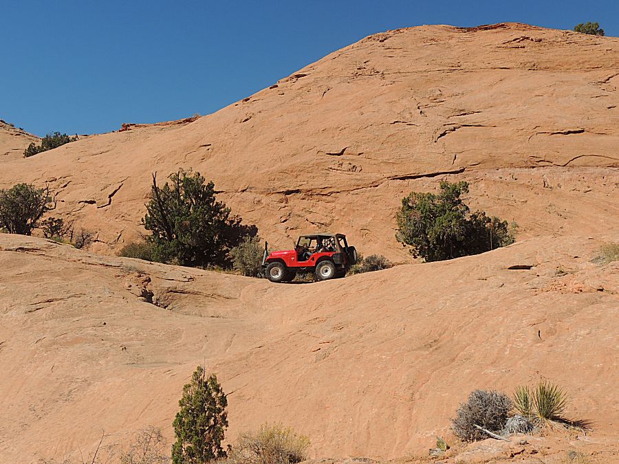
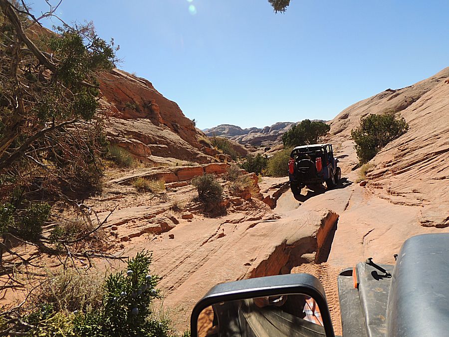
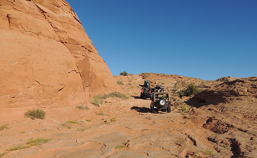
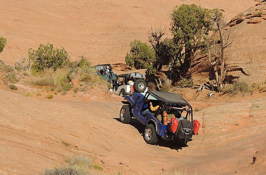
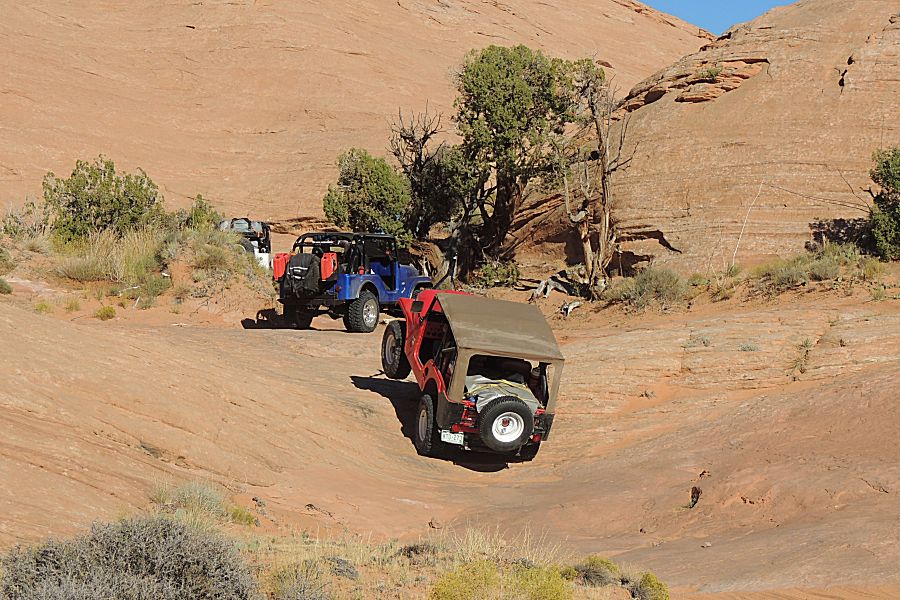
| A
different obstacle than the above. There are many on this trail - most
are short with a few quite long. In some, a spotter is well appreciated
to required. |
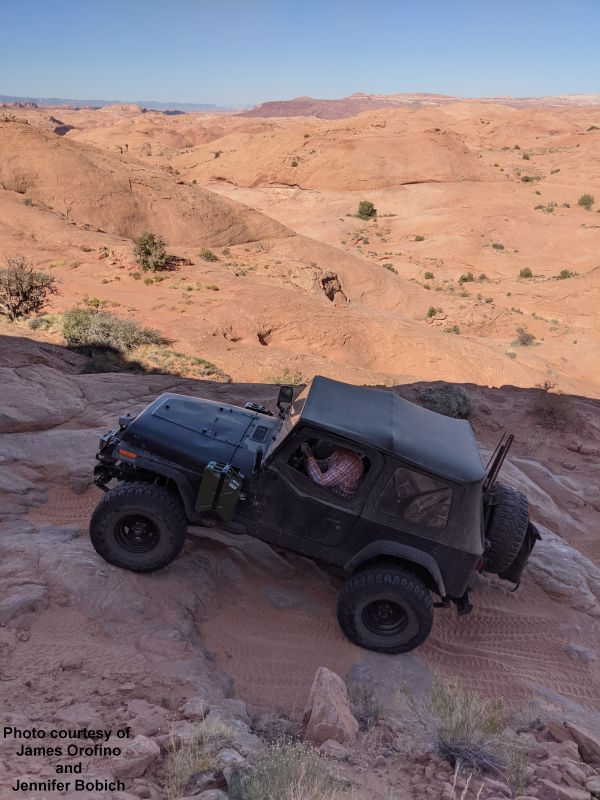
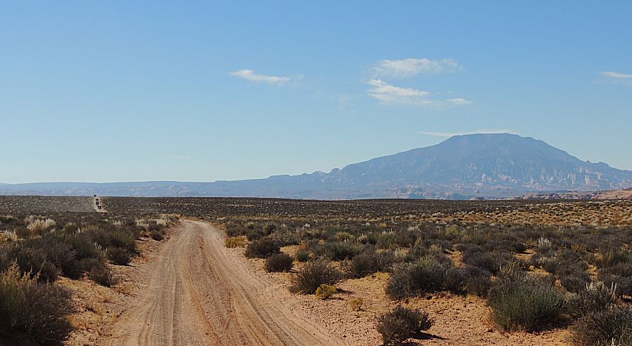
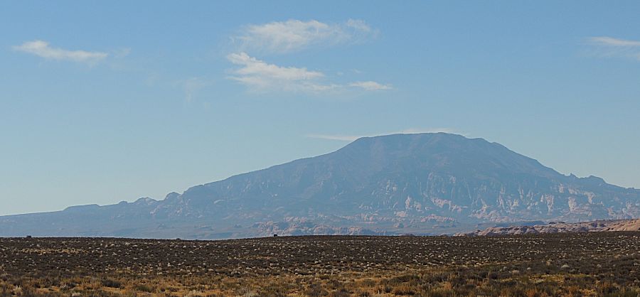
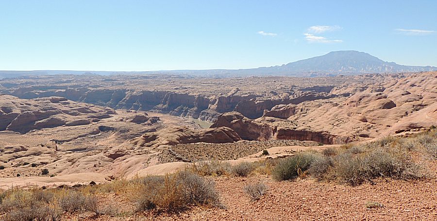
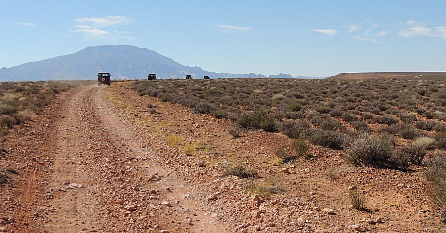
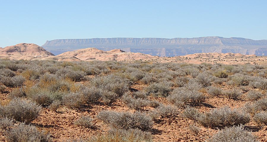
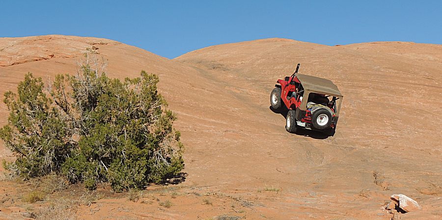
| The Henry mountains |
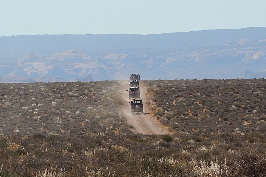
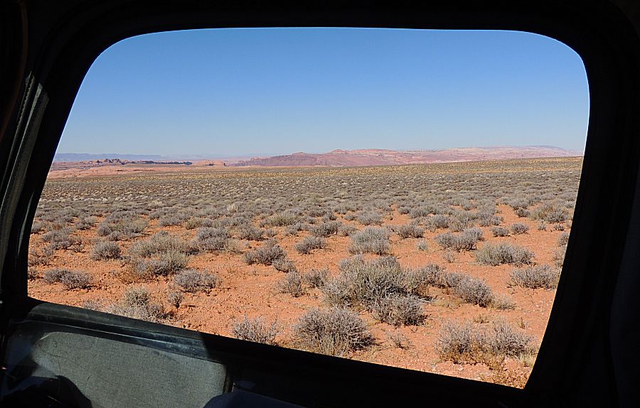
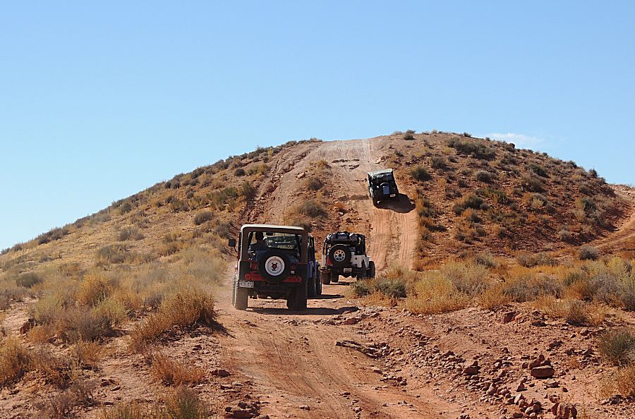
| Navajo mountain. We're up on the mesa - 2-hi gearing with a bit of speed (15mph vs trail speed at 4mph) |
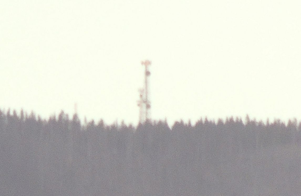
| Zoom to the cell tower atop the mountain |
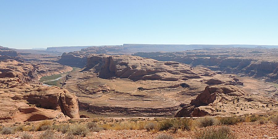
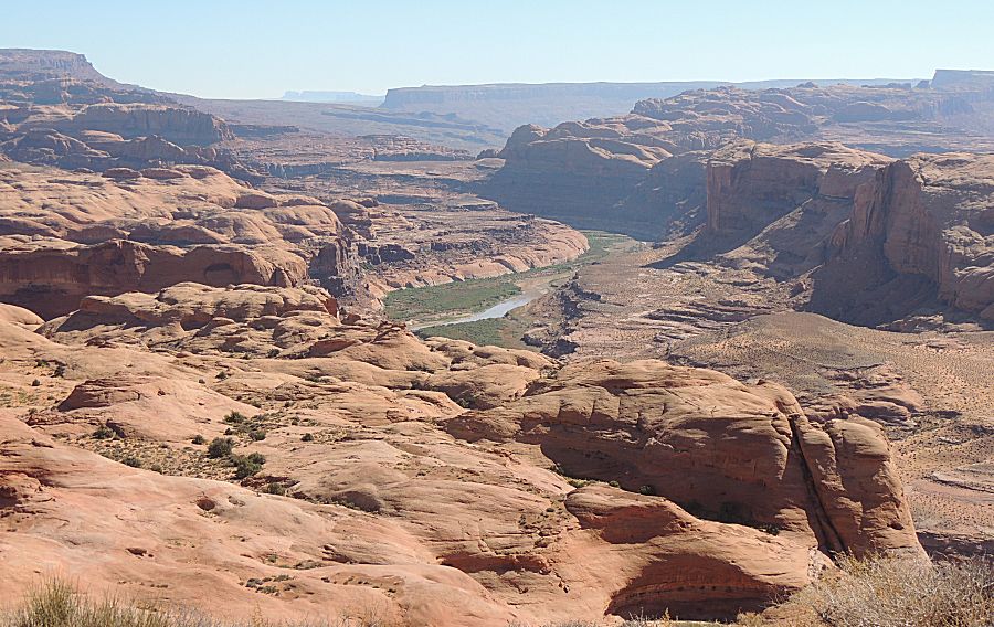
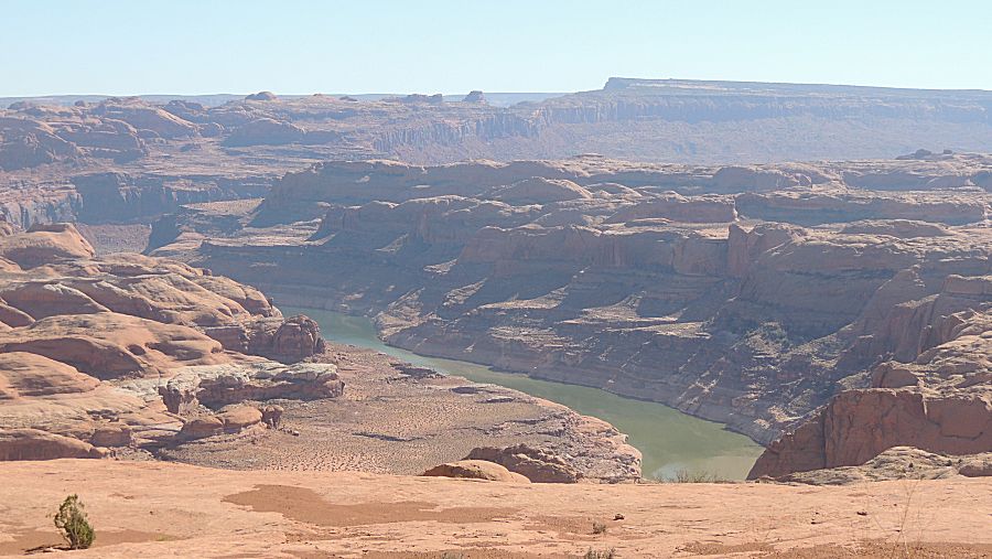
| The Great Bend of the San Juan River |
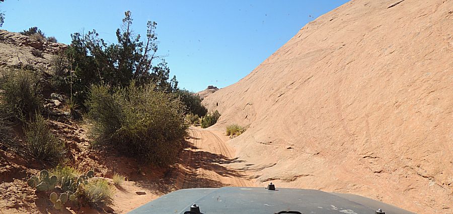
| Now to drop down from the mesa and slow trail speeds |
| One of the longer / longest inclines. We'll drop down one side then climb the other. |
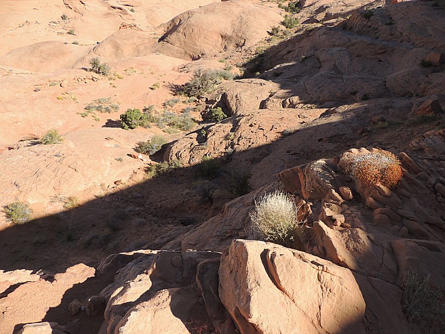
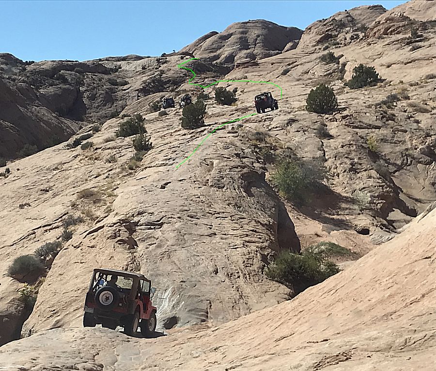
| On
the slick rock, knowing where the trail is can be a guess. The green
line is a bit of a guess. Once or twice we needed a short backtrack /
find the proper route. |
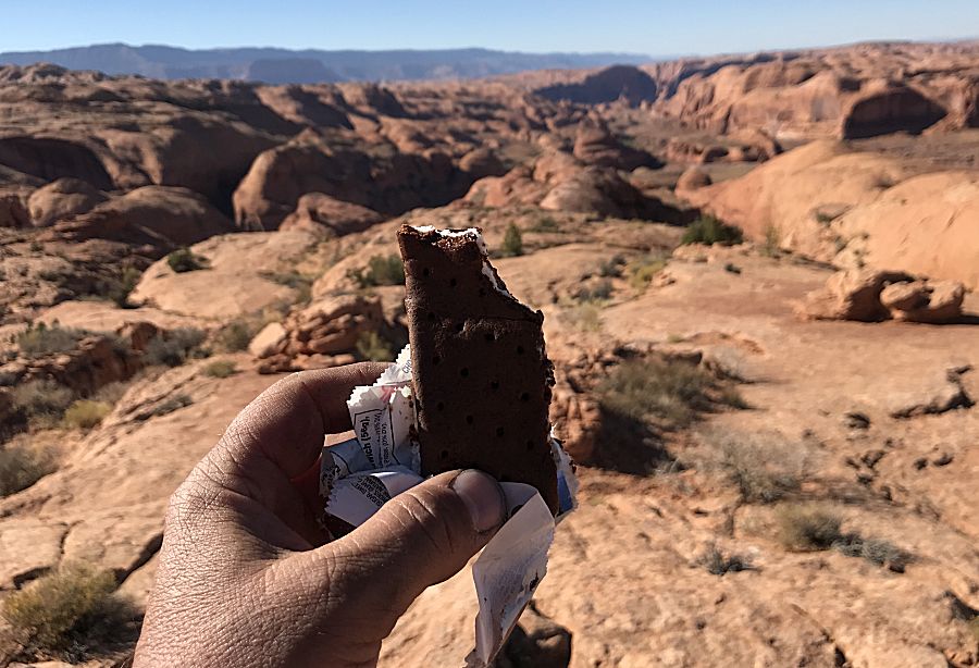
| An
unexpected treat at the end of the trail. The folks from the east coast
put some ice cream bars on dry ice. Well enjoyed - Thanks Folks! |
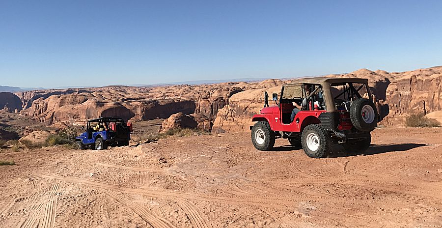
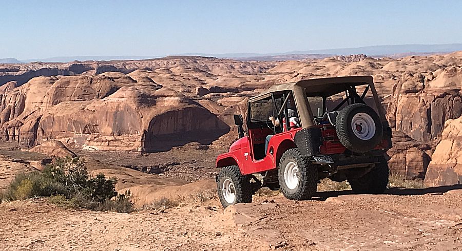
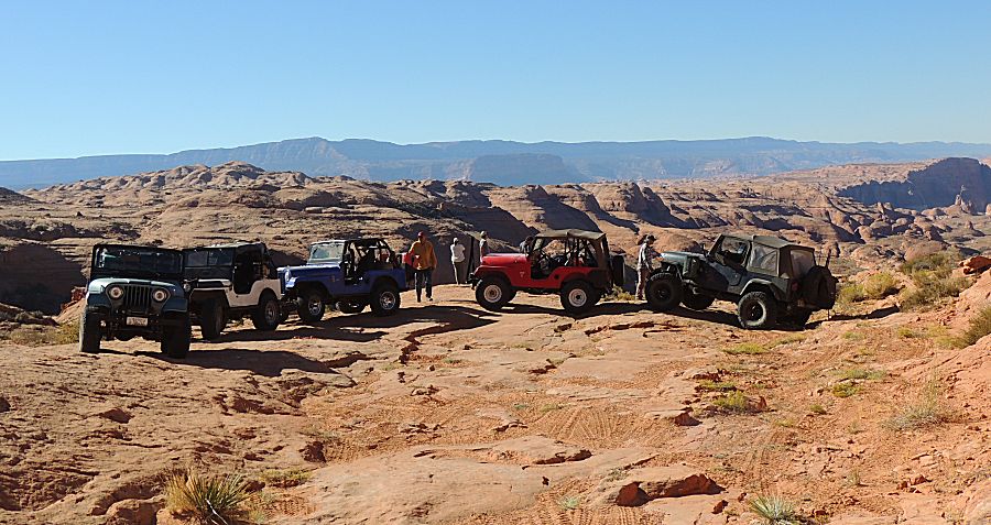
| End of the trail (for us) |
| I think the slot in the dark area across the river is the named "Hole In The Rock". |
| This inclined slot was used as a portion of the original road. |
| Nicely marked |
| At the end is a rock feature called Aladdins Lamp / Aladdins Lamp Pass |
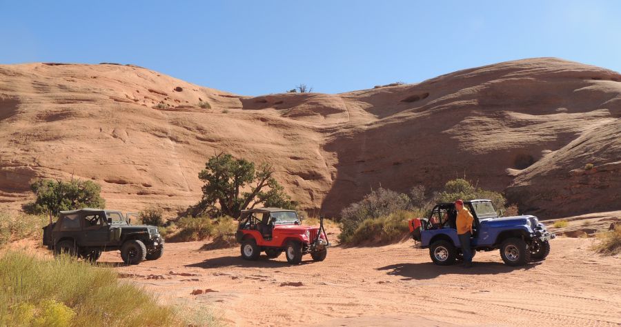
| Now to head back with a thought to visit a side trail called The Rincon |
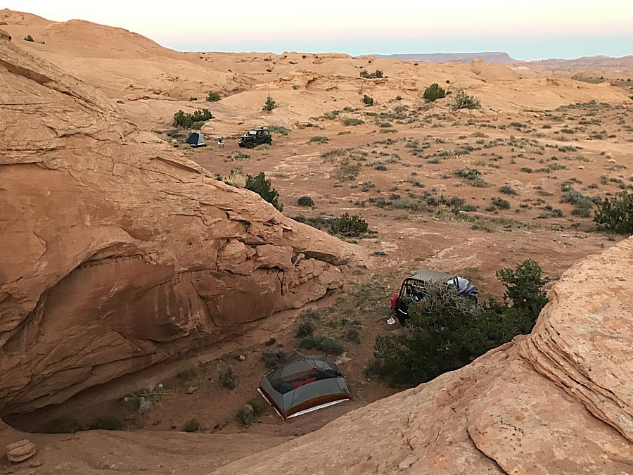
| Camp for night 2 |