Crested Butte 2024
|
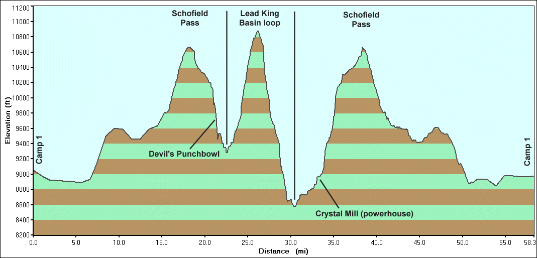
Today
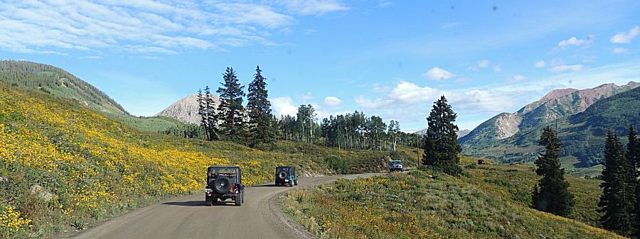
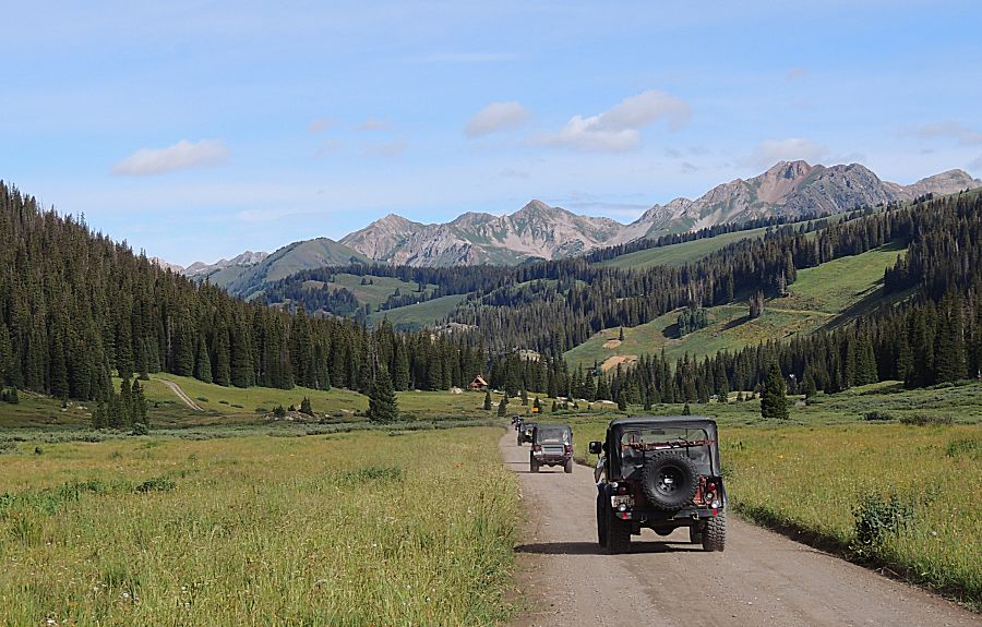
will be a "lollipop" trail type of route. We start at the base of the
stem of the lollipop and at the top we'll run a counter-clockwise
circle to drop down the stem to the base. We'll start from Camp 1 to
return to Camp 1. Fuel will be at Crested Butte in the morning and
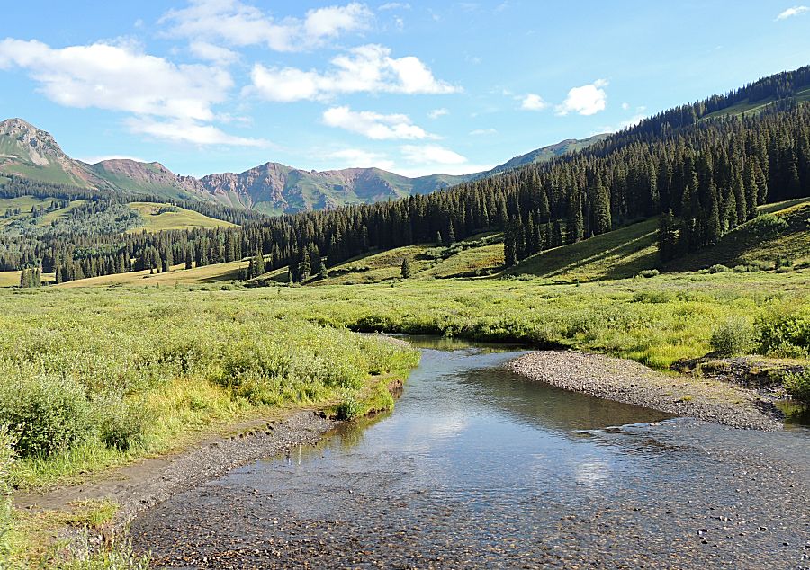
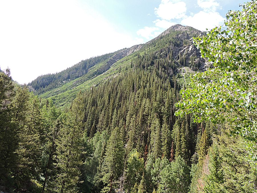
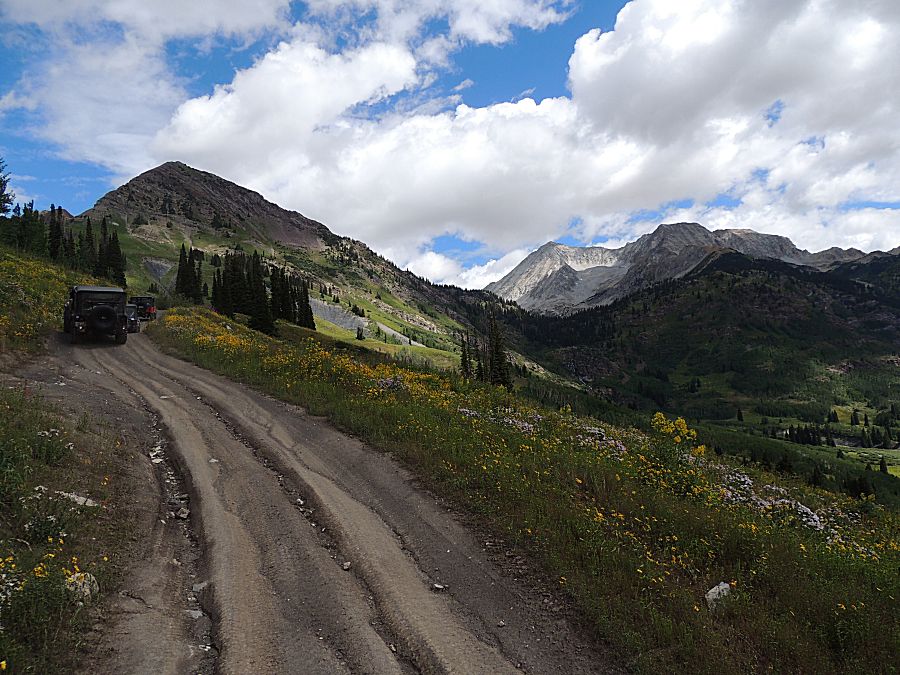
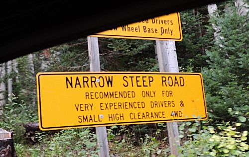
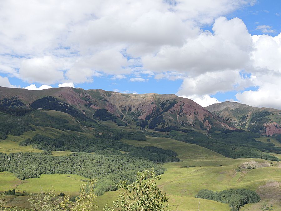
evening. The stem of the route will be the Schofield Pass trail. The circular candy at the top is Lead King Basin (mostly). The eastern portion of Lead King Basin is scenic and an area I can see returning to for camping. Schofield Pass is considered difficult and dangerous. Some call it Colorado's most deadly trail. It seems to achieve that name from a single accident where one vehicle, with many people, went over the edge at or near Devil's Punchbowl and several were killed. The trail isn't (for us today) overly difficult nor dangerous. There were a few spots (2-5?) that are narrow enough to have extra attention but nothing narrow enough for someone to spot each of us through. |
|
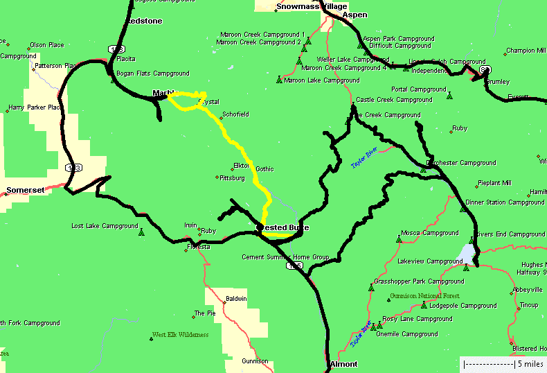
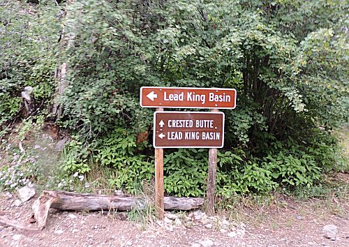
Yellow
track. Camp 1 near Crested Butte, north over Schofield pass to the Lead
King Basin intersection. We'll turn onto Lead King Basin for a
counter-clockwise loop, passing the Crystal Mill and the town of
Crystal for a return trip back over Schofield Pass to Crested Butte. |
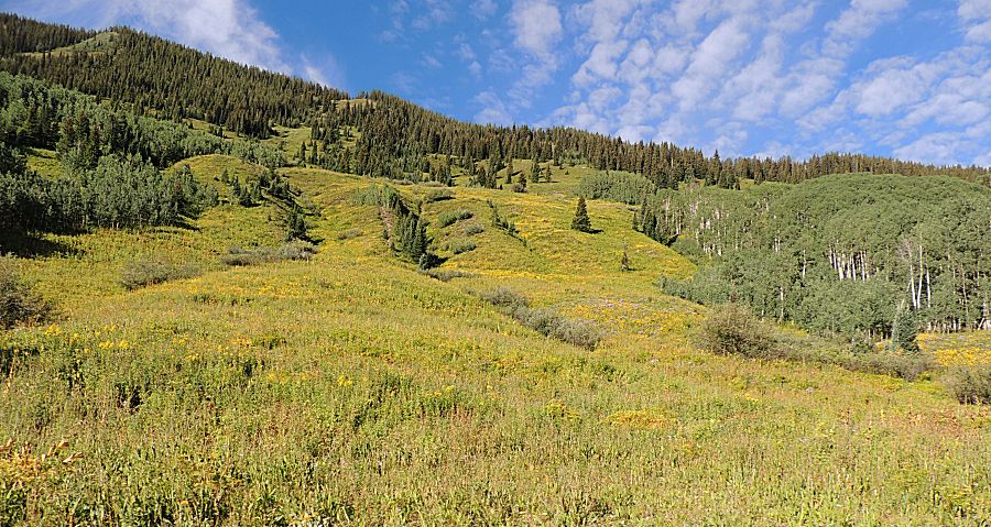
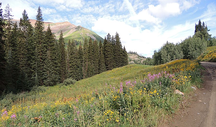
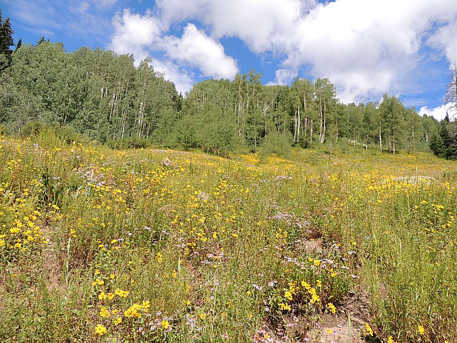
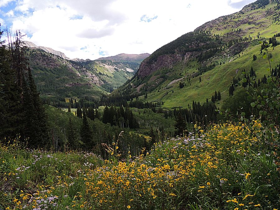
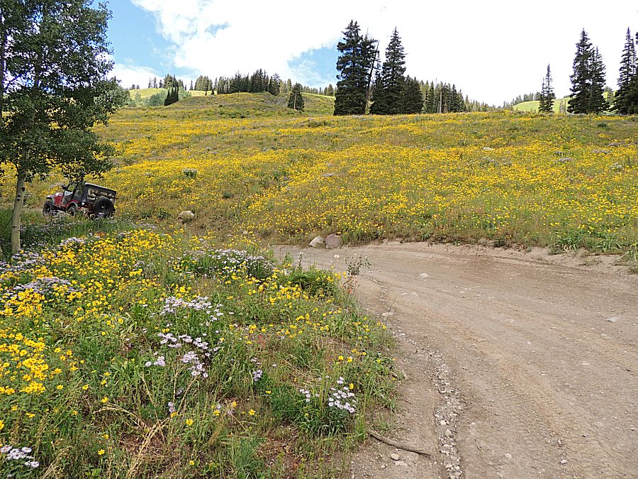
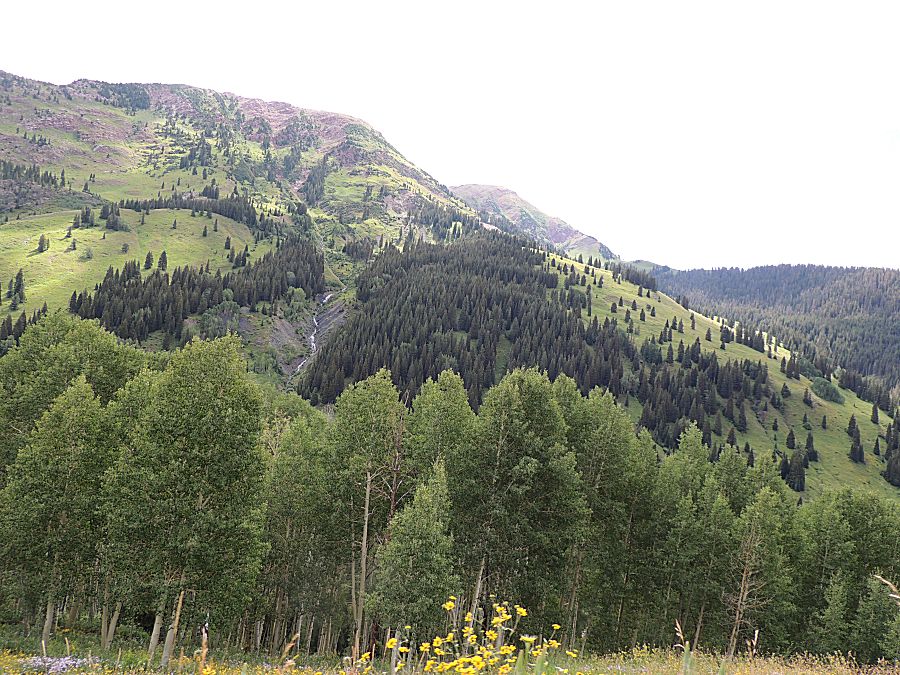
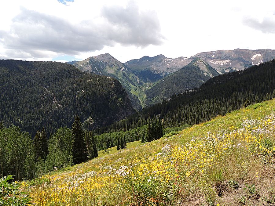
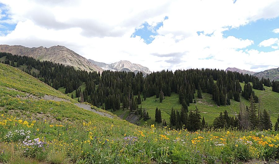
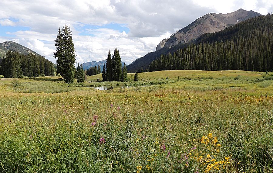
| Wild flowers were in abundance. |
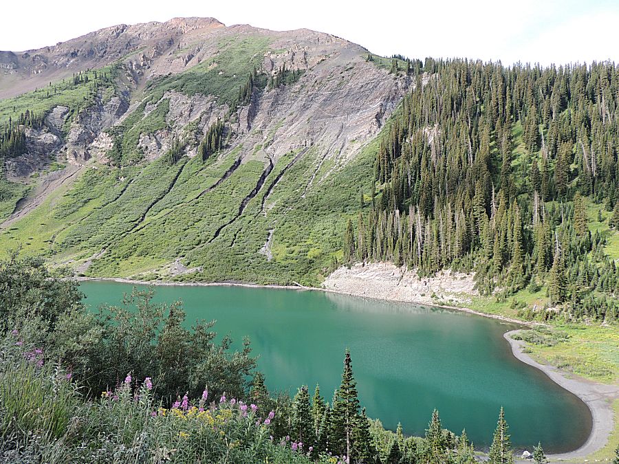
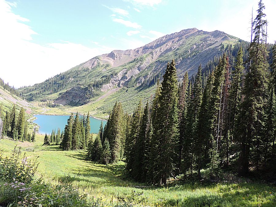
| Emerald Lake |

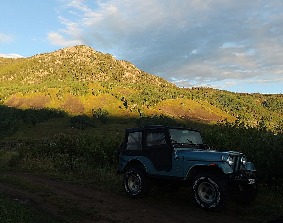
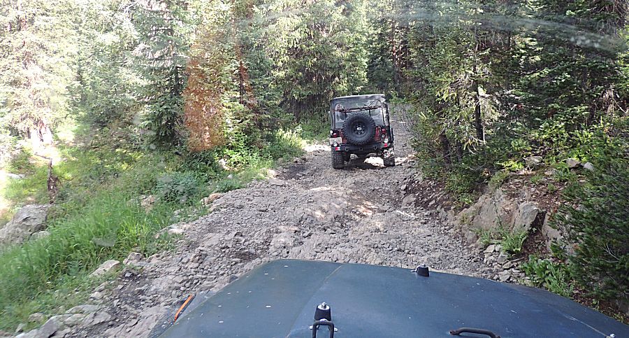
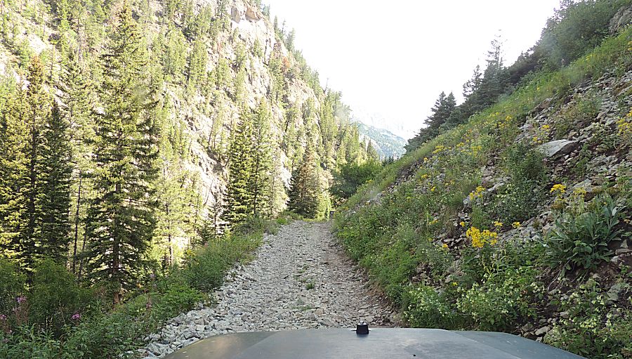
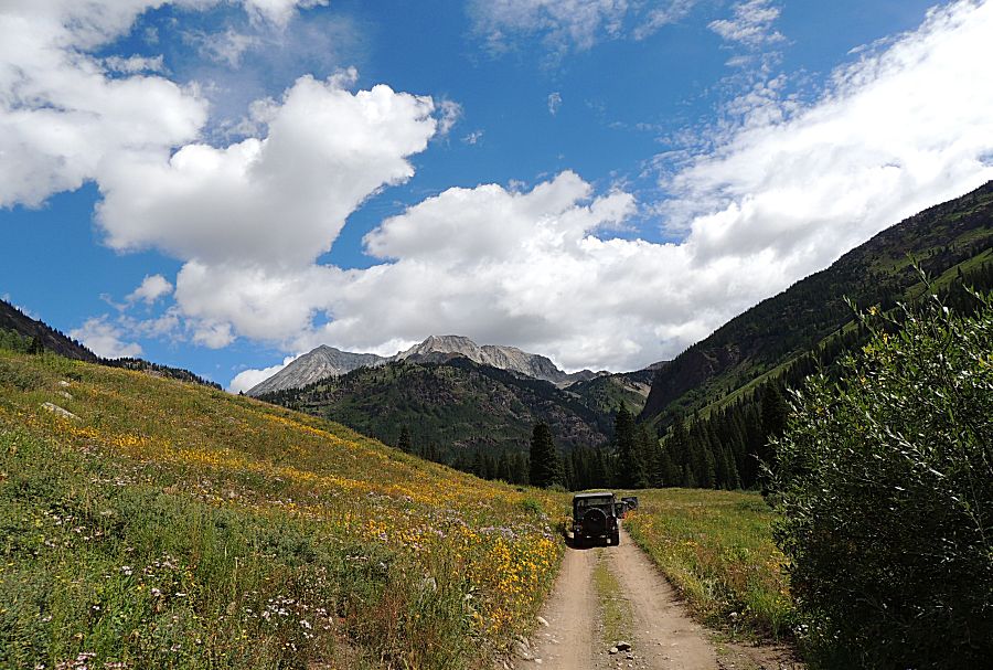
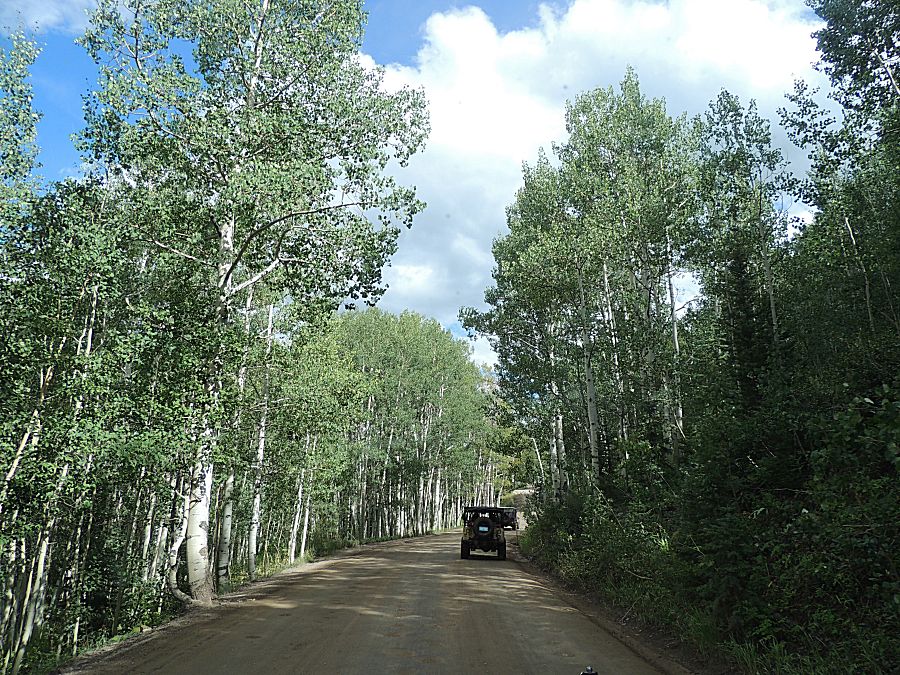
| The transition from graded smooth road to bumpy Jeep trail. |
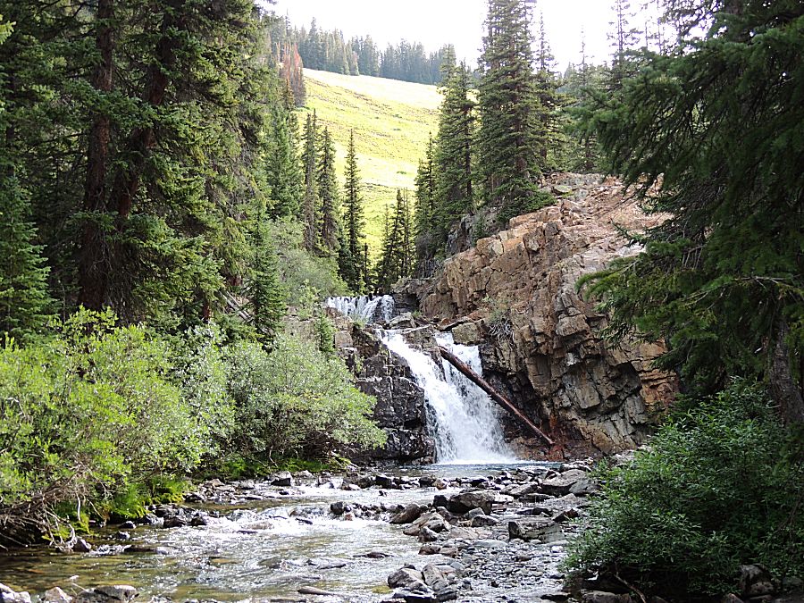
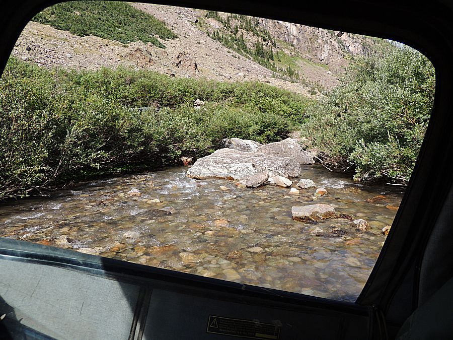
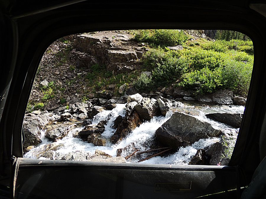
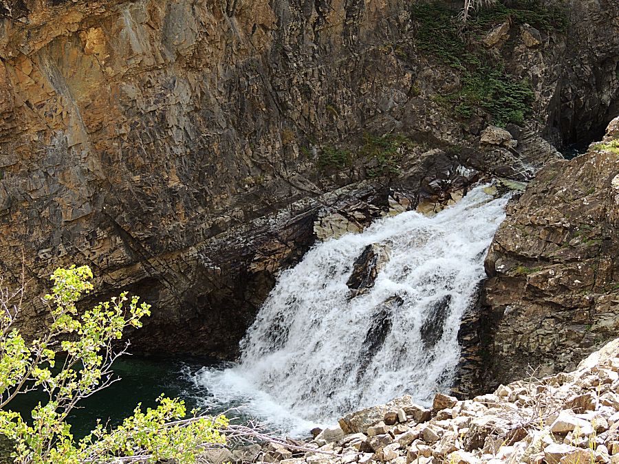
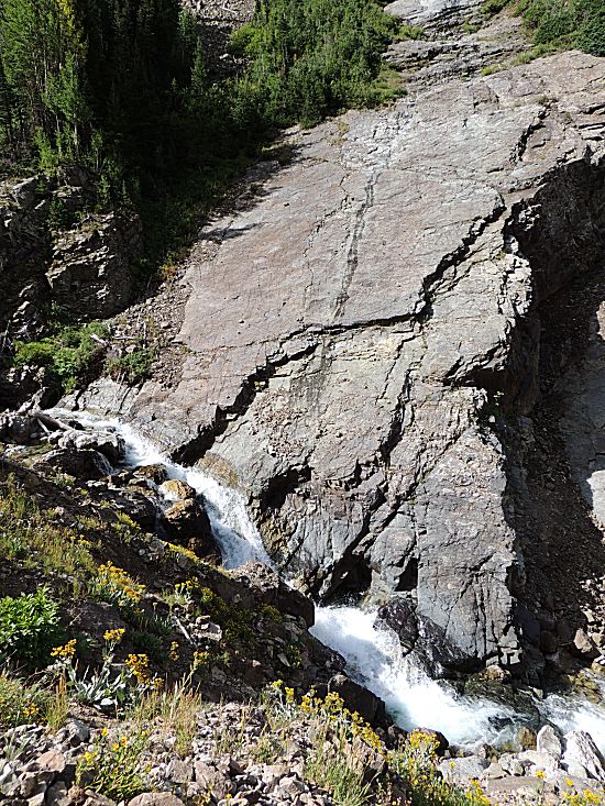
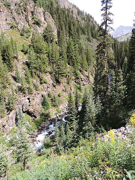
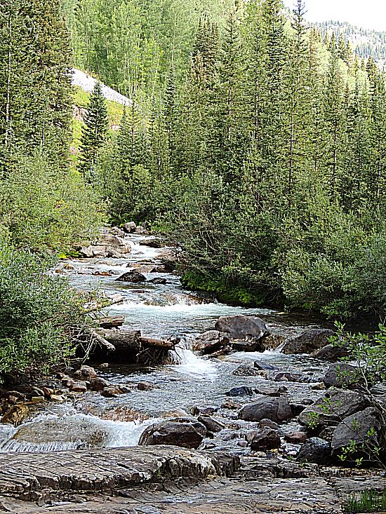
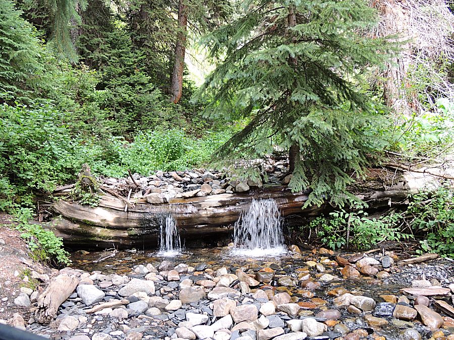
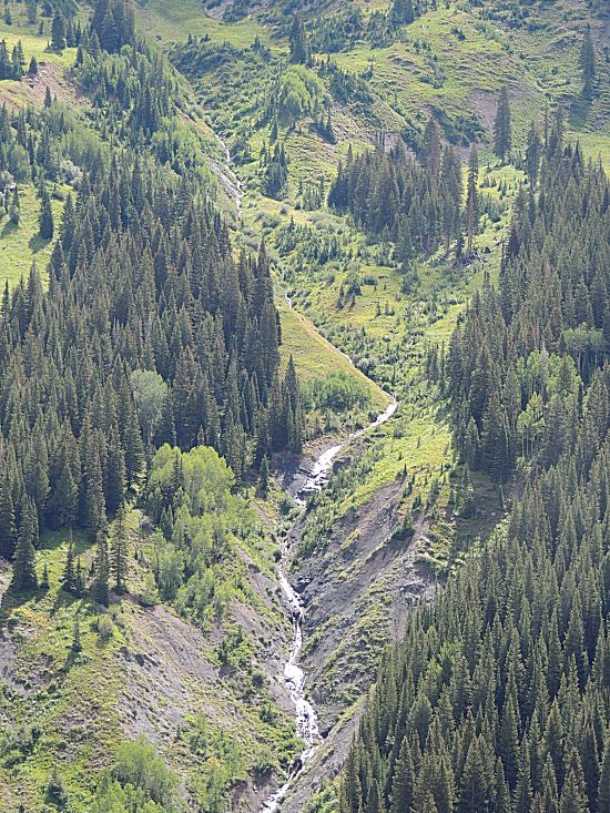
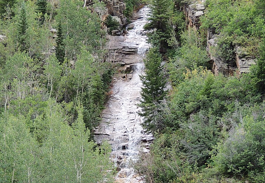
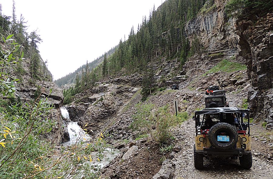
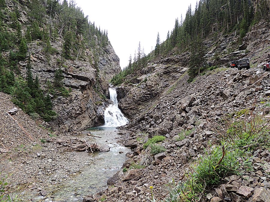
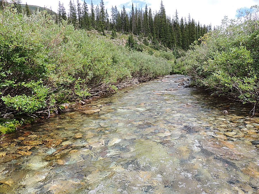
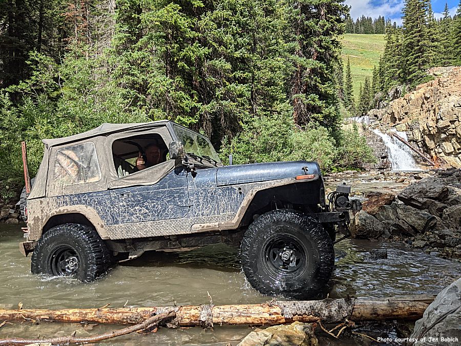
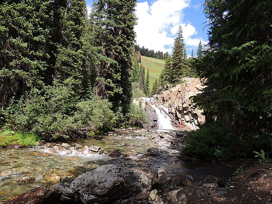
| (South Fork) Crystal River Waterfalls |
| Remote EV charging |
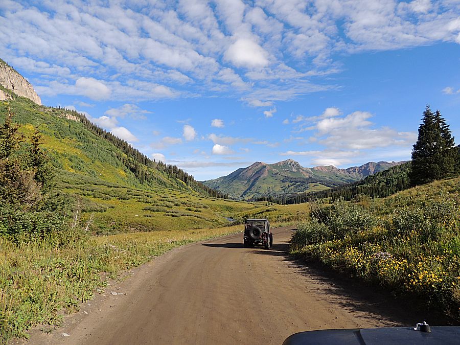
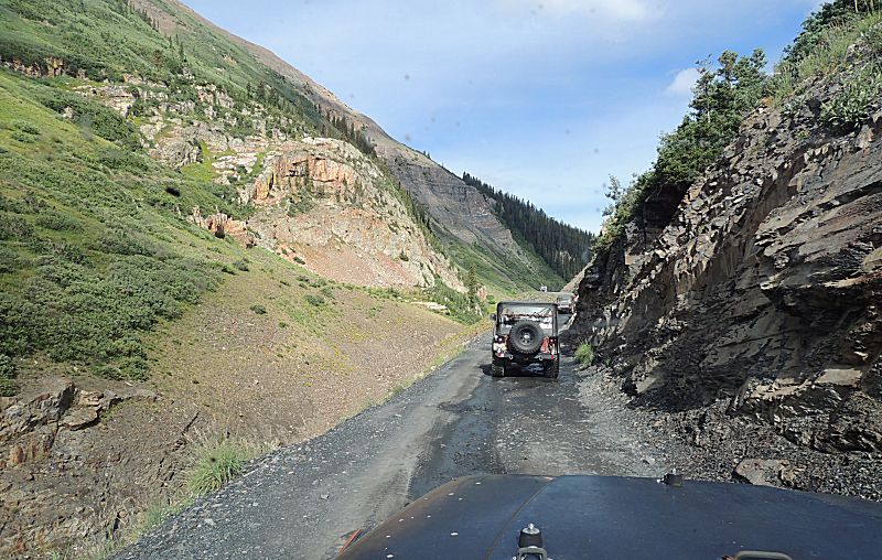
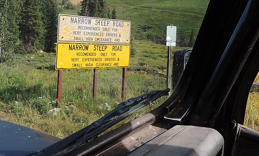
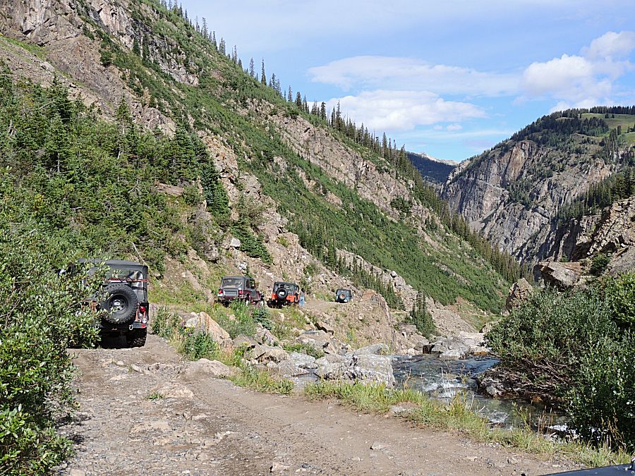
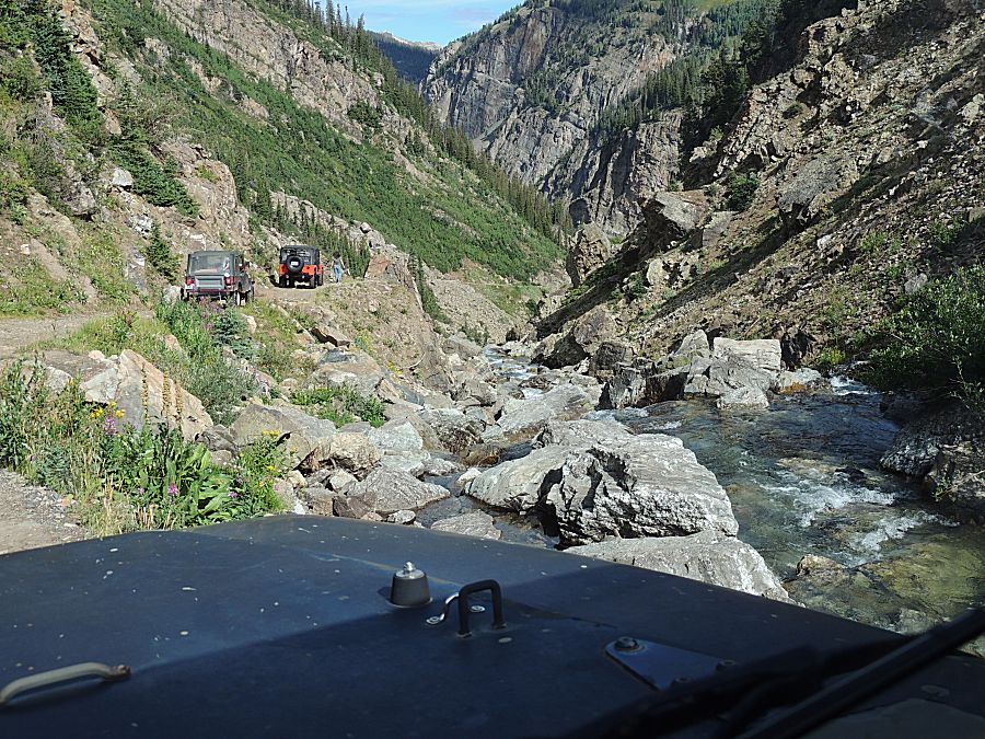
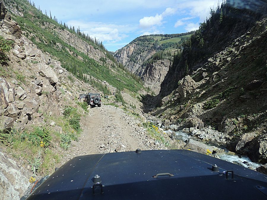
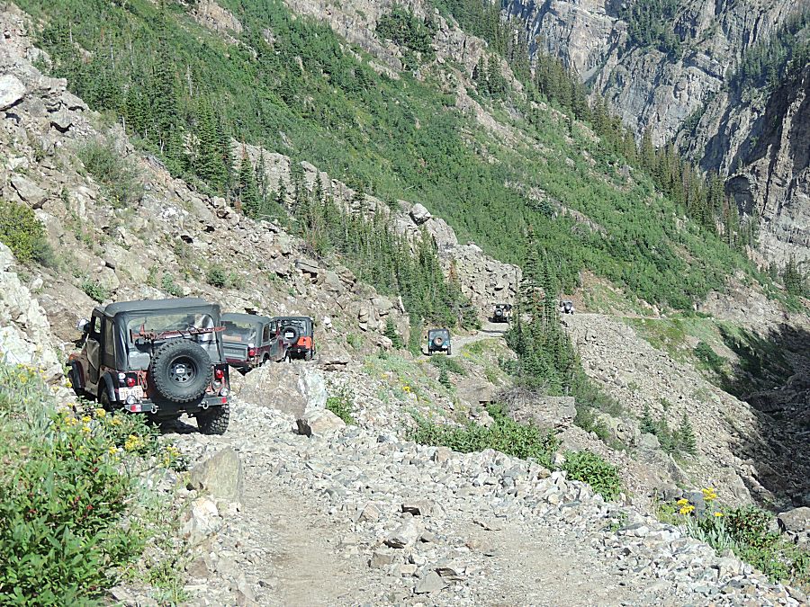
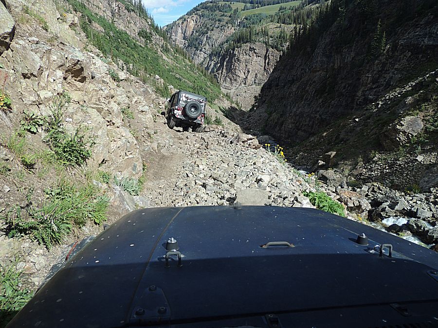
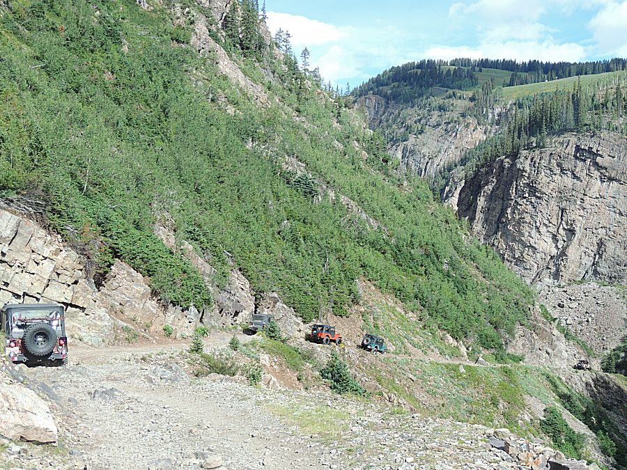
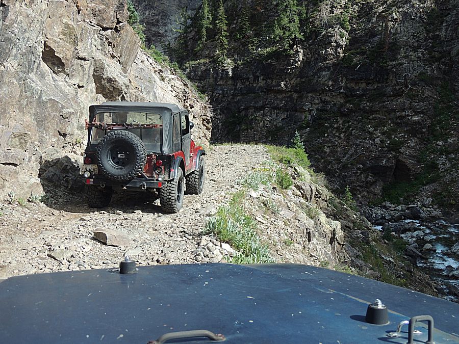
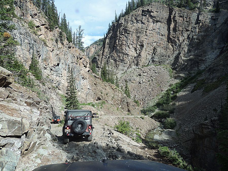
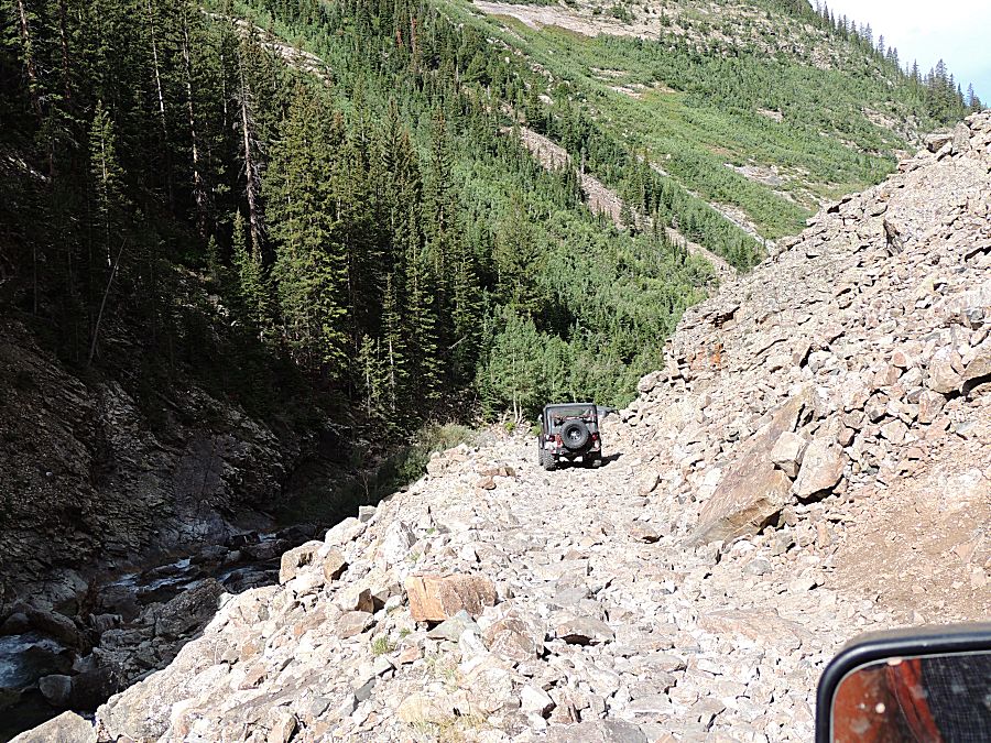
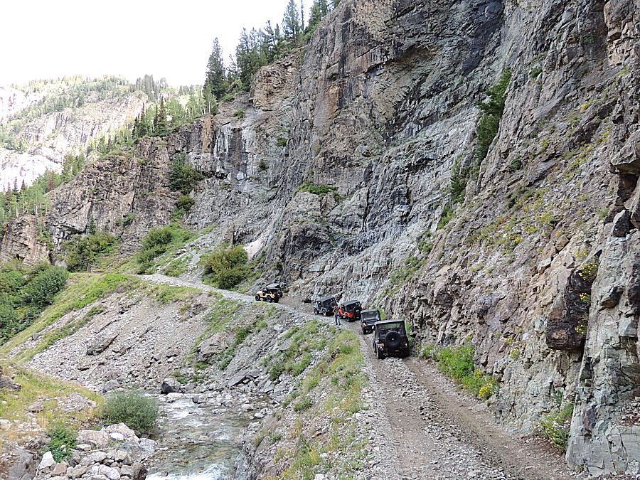
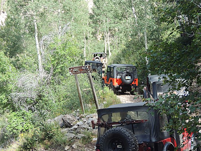
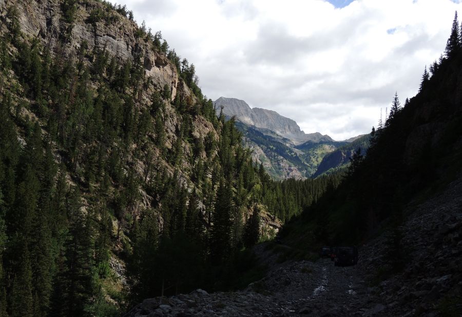
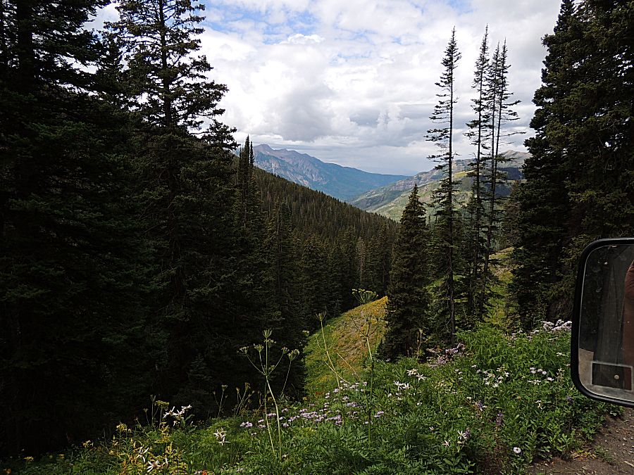
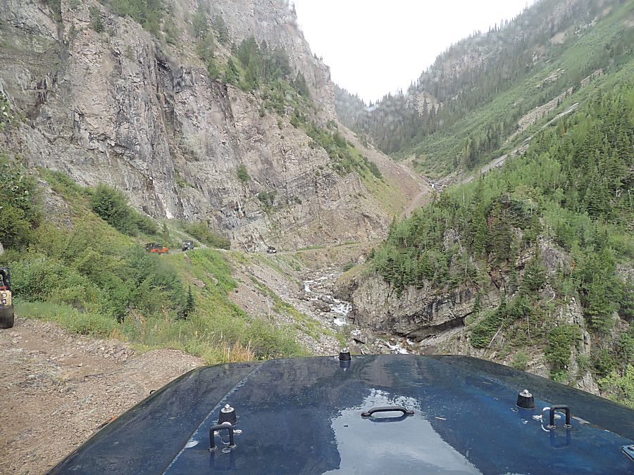
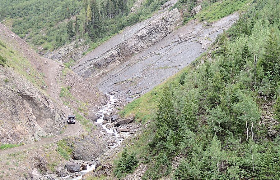
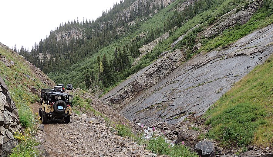
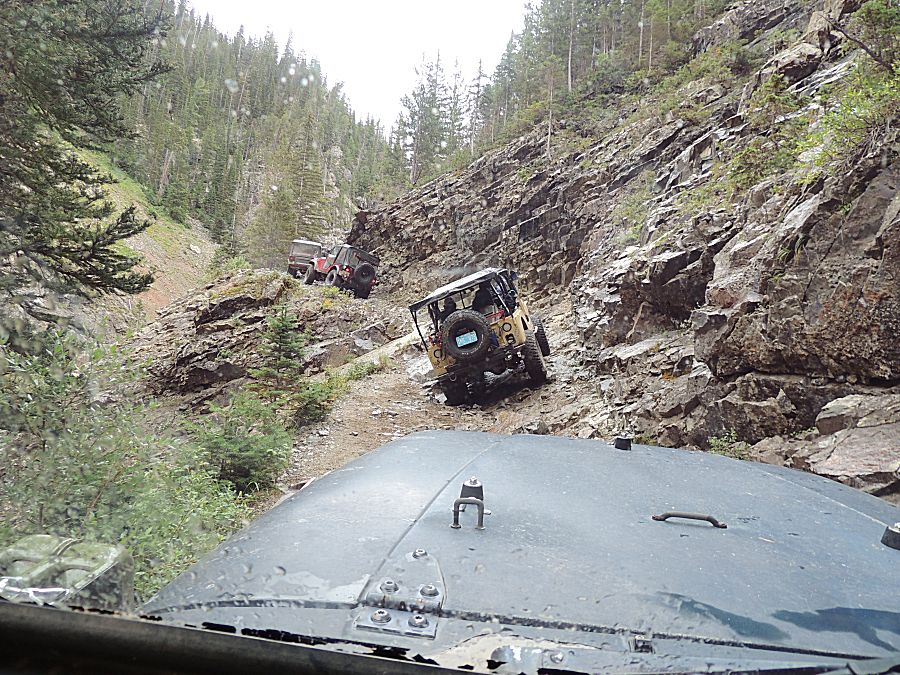
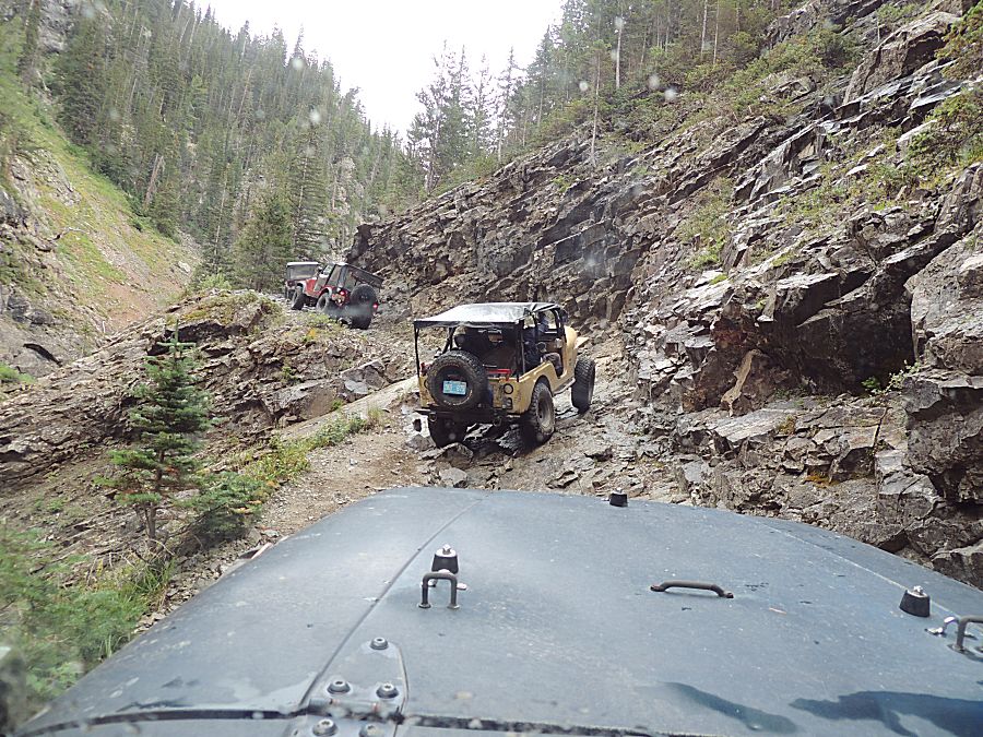
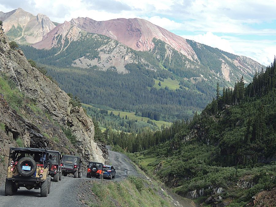
| Getting
into the narrow section of trail. Most of this is wide enough and of
not much concern, but a few spots called for attention. |
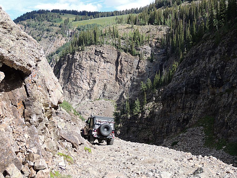
| Devil's Punchbowl |
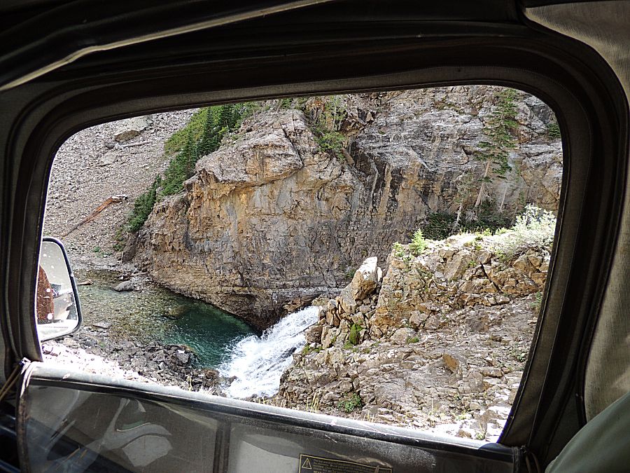
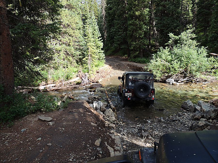
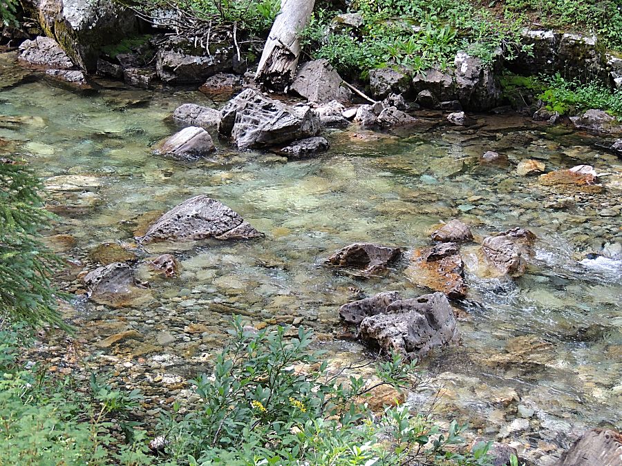
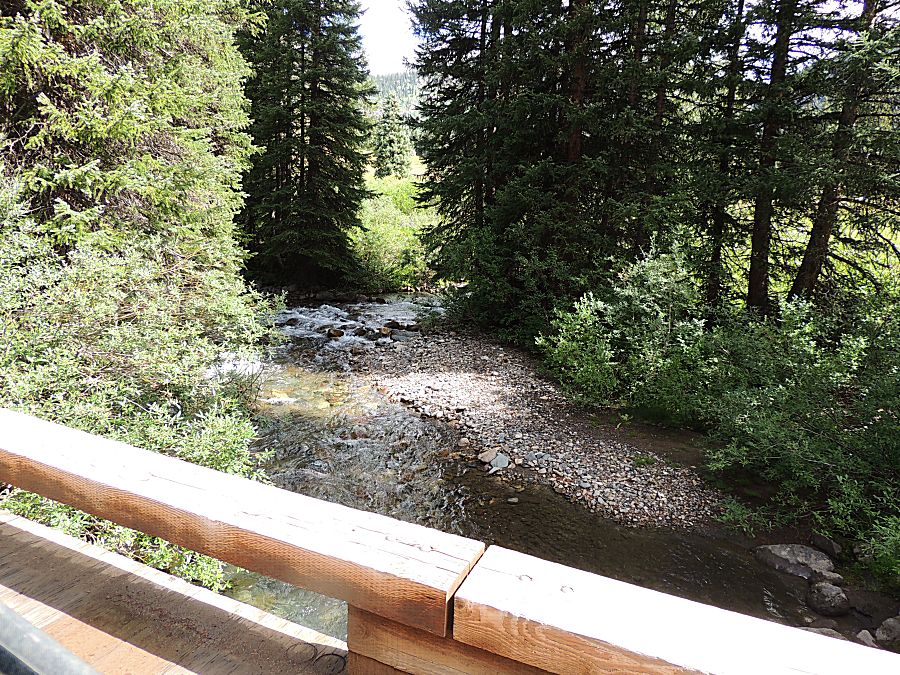
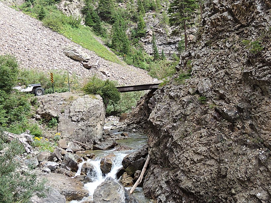
| We're now below the bridge |


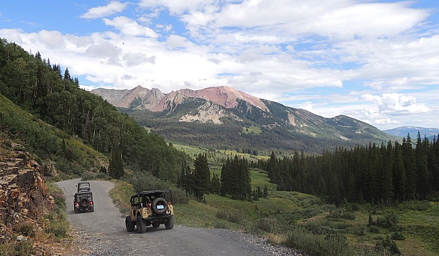
| At
the Lead King Basin intersection. We'll turn up Lead King for a
counterclockwise loop. We'll return to this intersection and backtrack
to Crested Butte. |

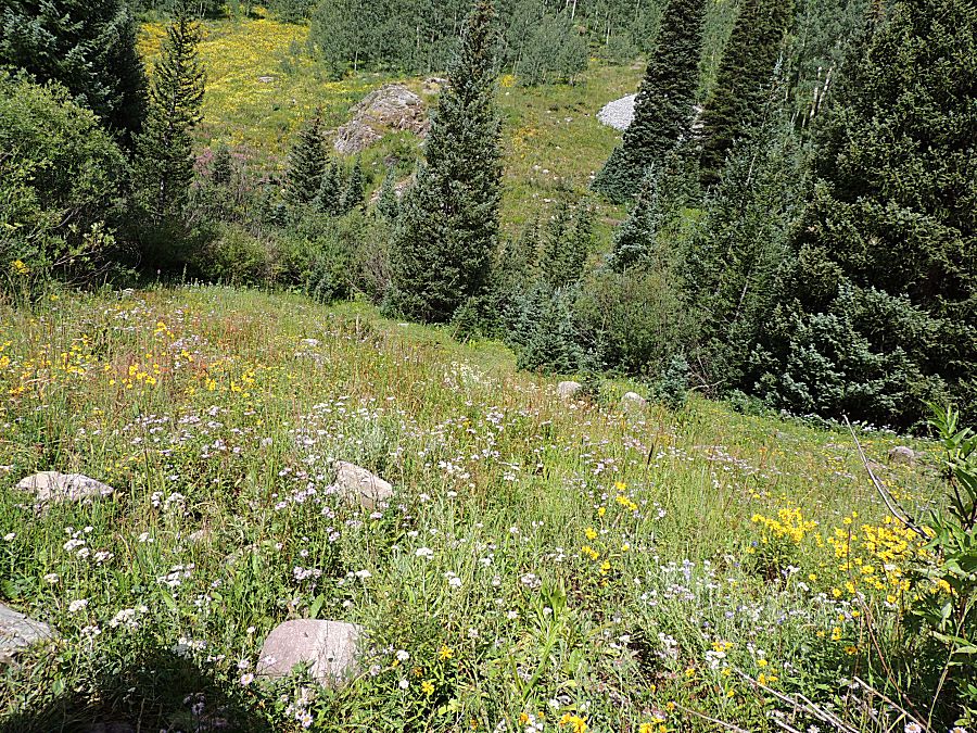
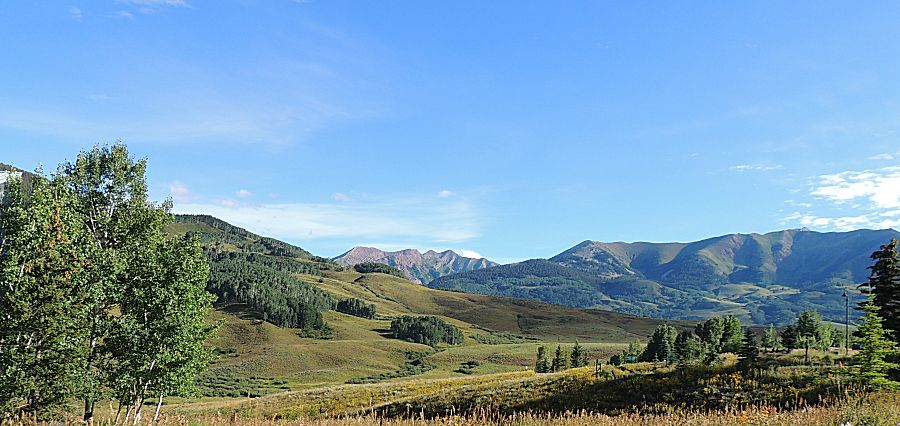
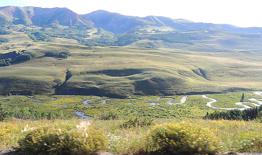
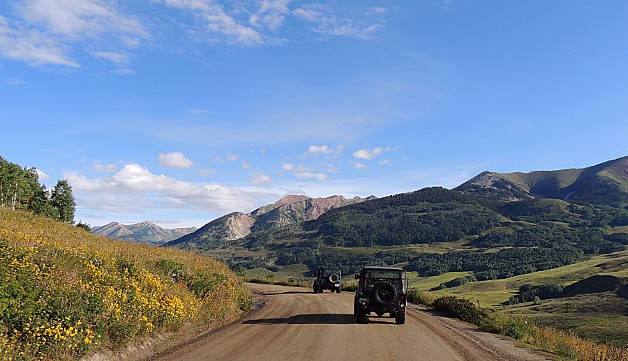
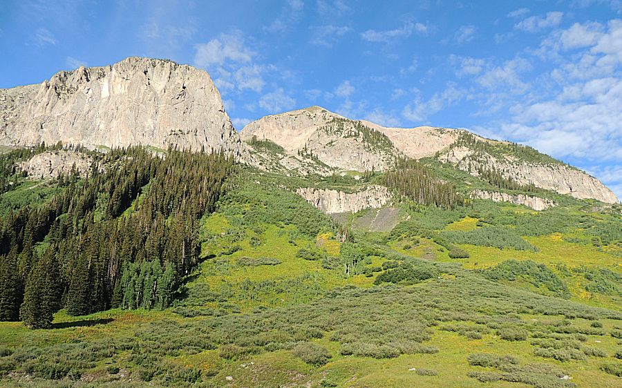
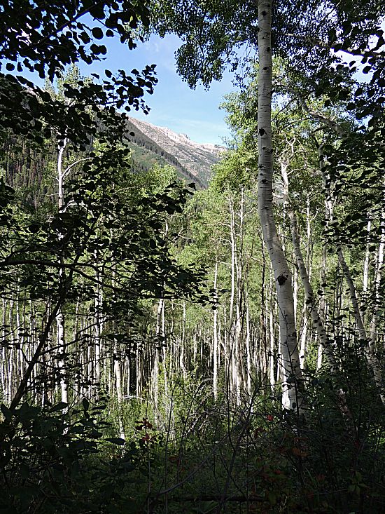
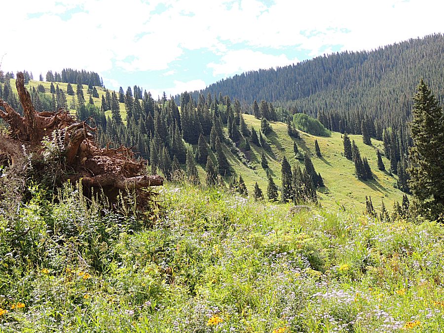
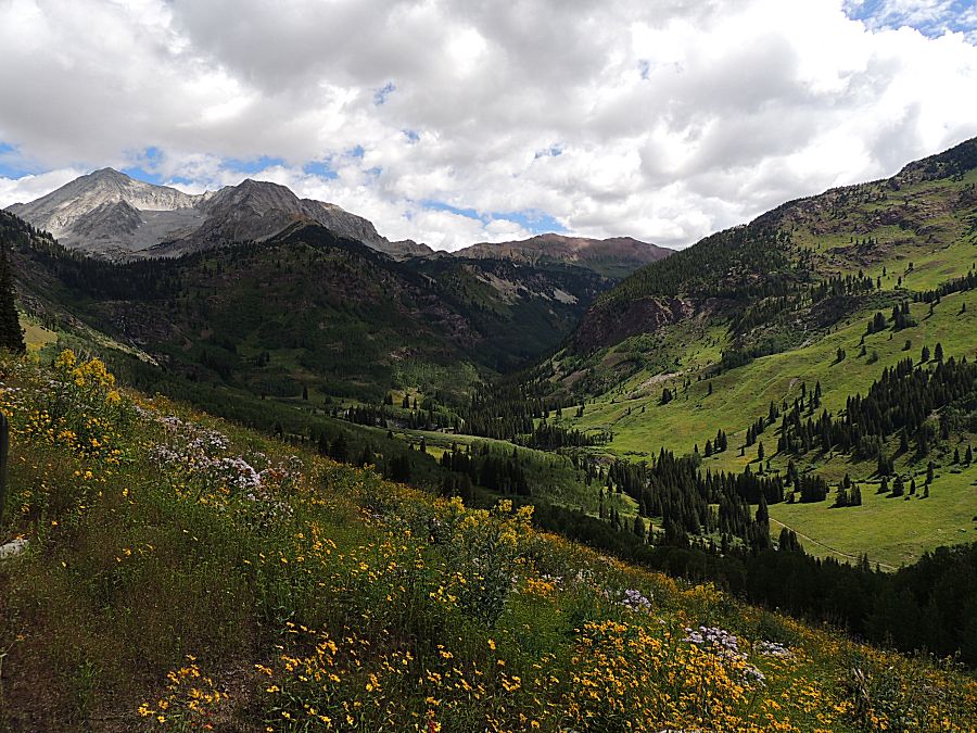
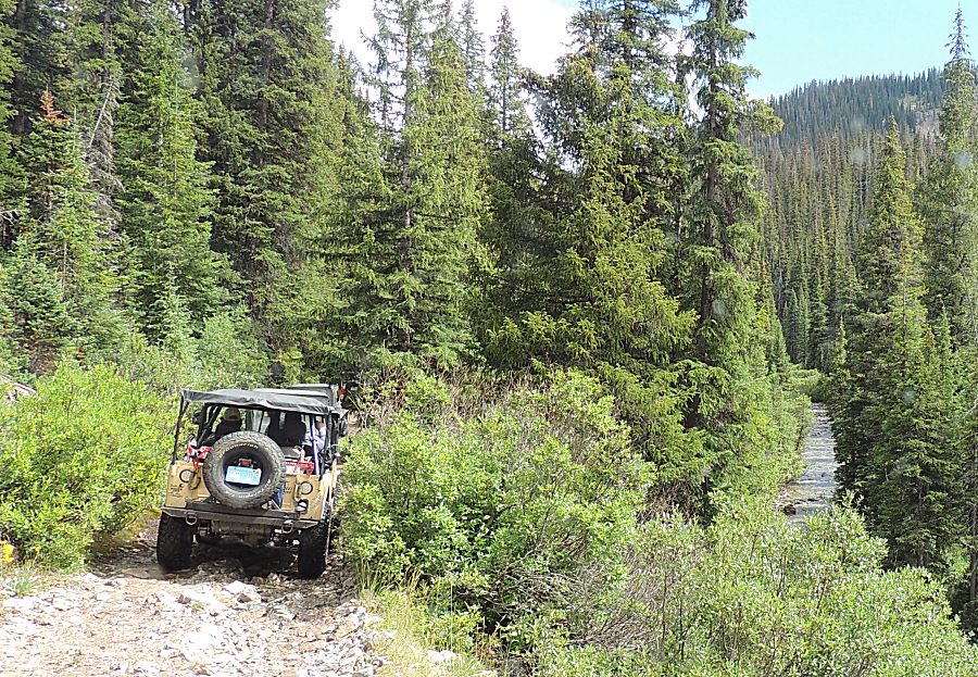
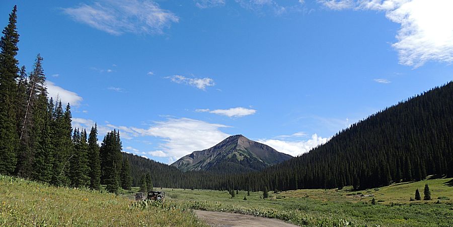
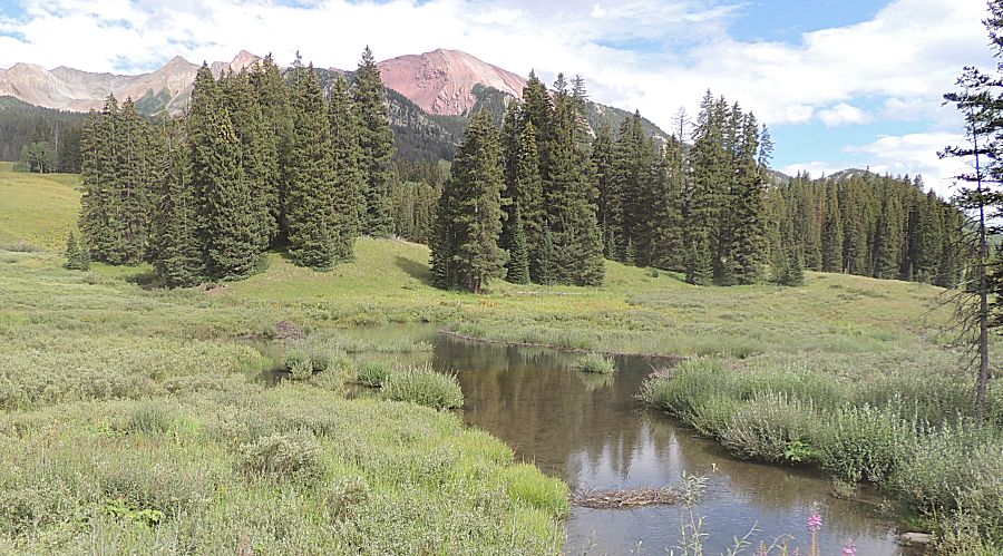
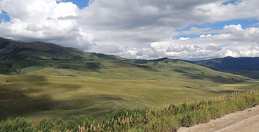
| I well enjoyed the scenery in this valley. |

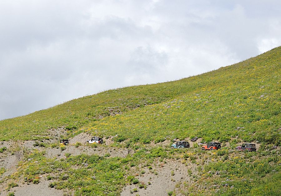
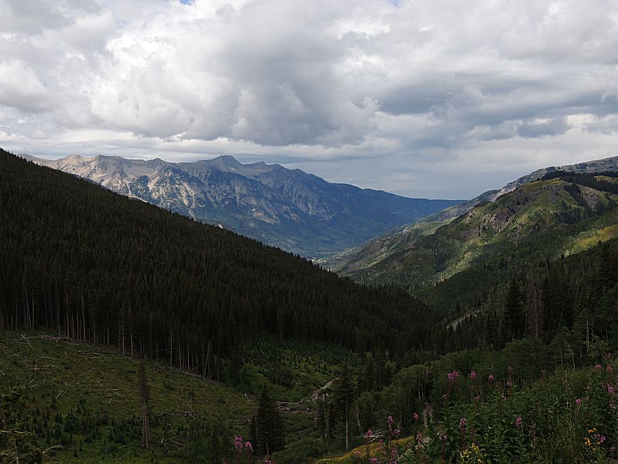
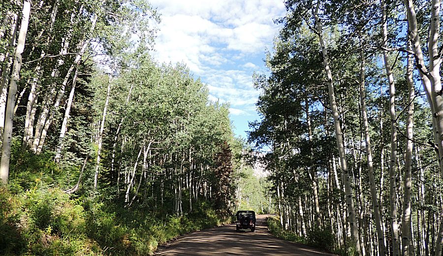
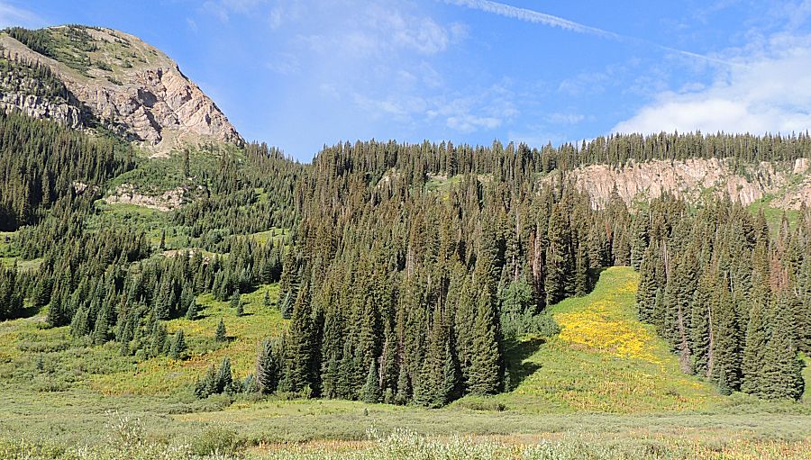
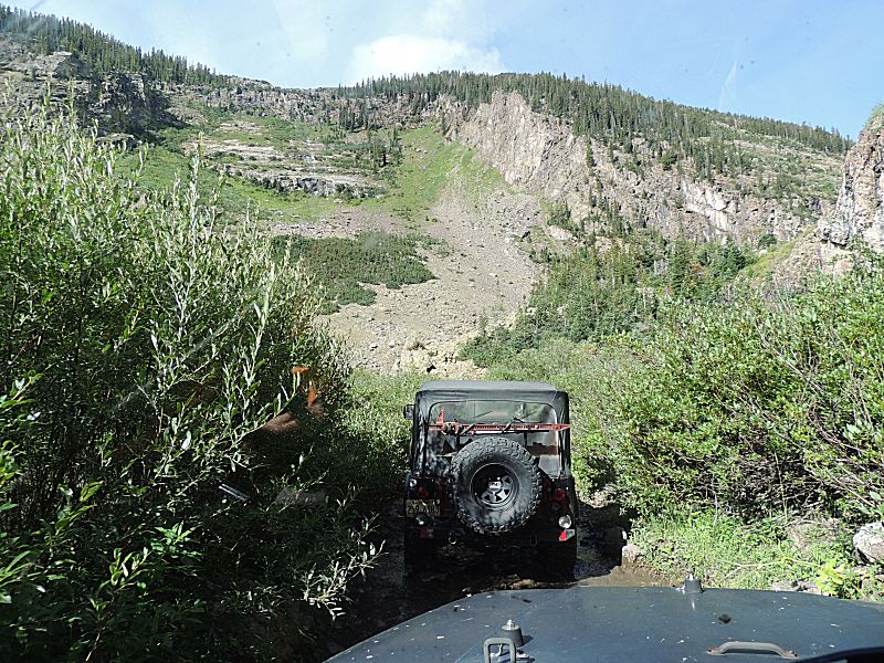
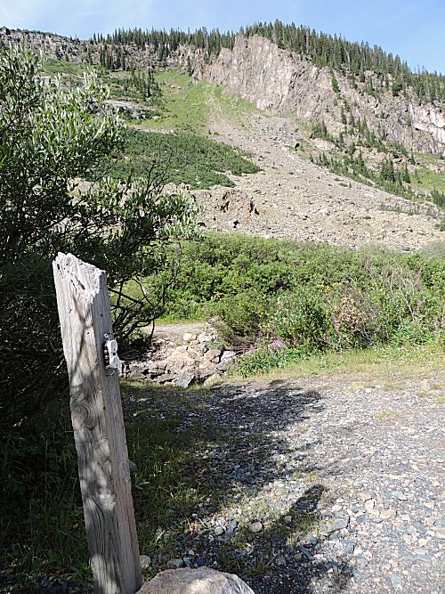
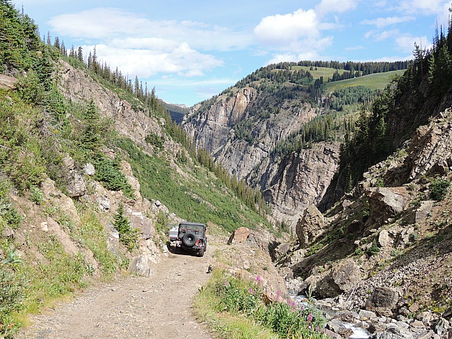
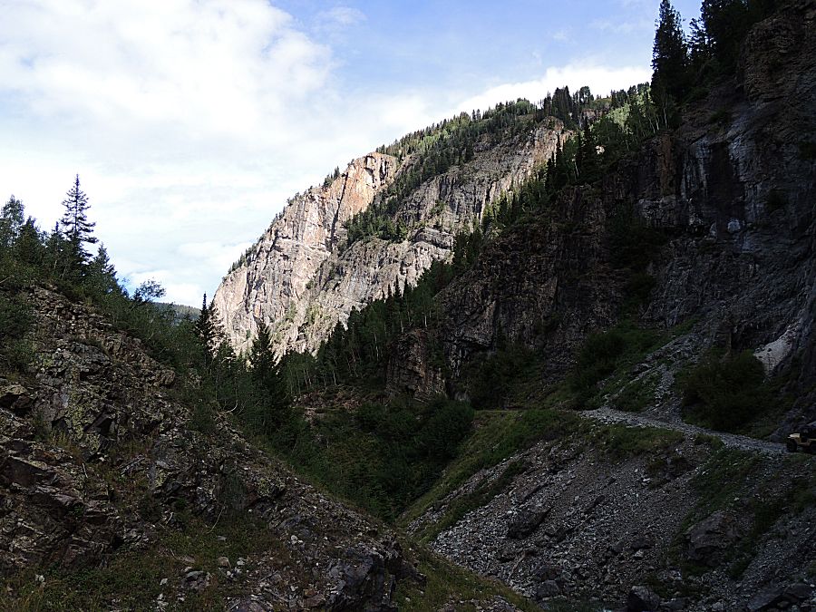
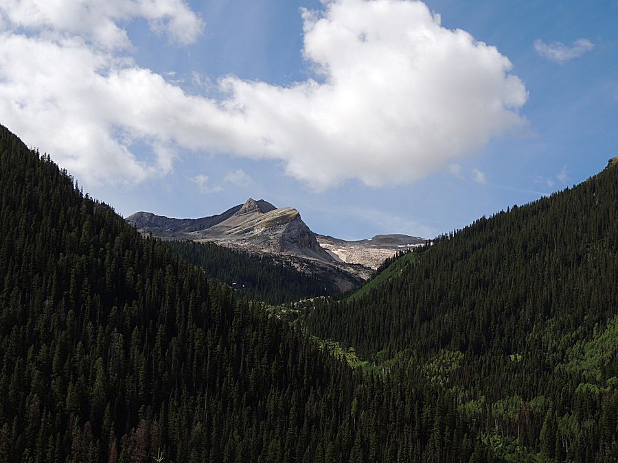
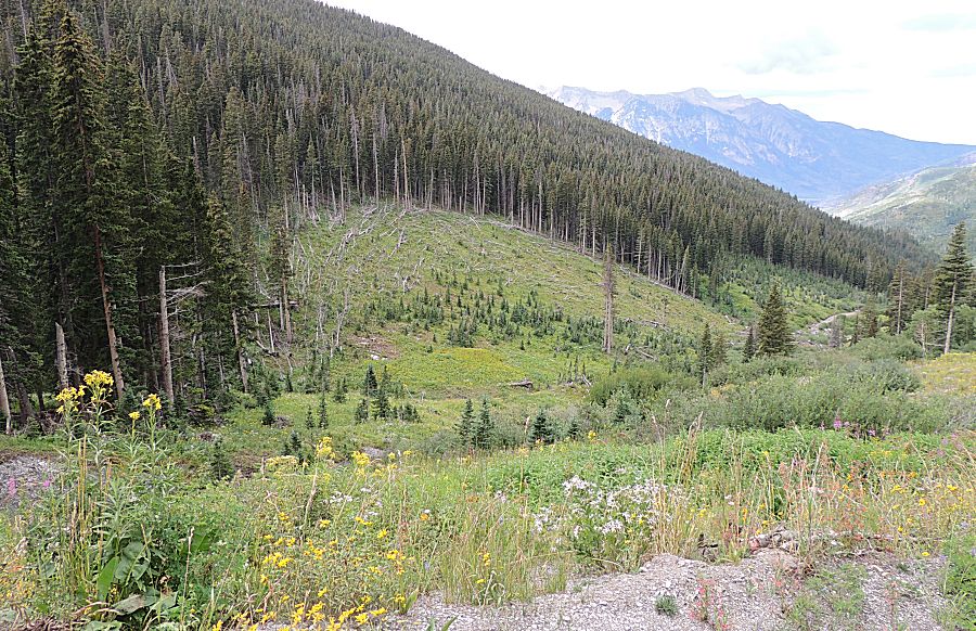
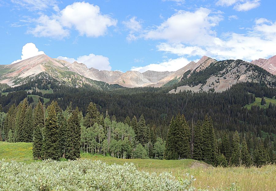
| We're
now headed down from up high. This western portion of the trail was not
much to look at - mostly in the trees - no grand views. We're driving through an avalanche zone. Notice no mature pine trees right where the jeep's at - ahead are the pine trees. |
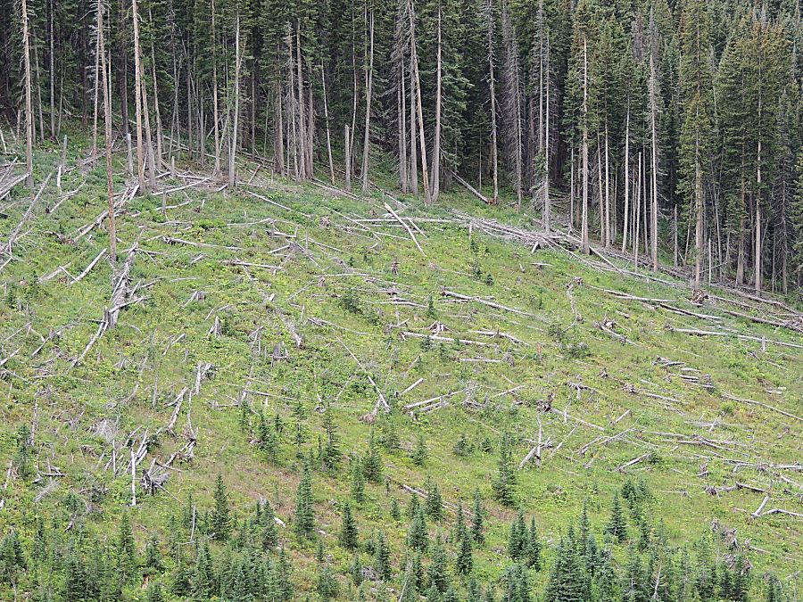
| Looking
downhill, we see aftermath of at least one large avalanche flow. The
trees are 'blown down' in the direction the snow flowed. It came down
the mountainside where the jeep's at, crossed the valley and flowed up
the other side, lost momentum and arched to the right, downvalley. |
| Trees near the edge of the flow were able to stay standing but their branches were stripped off. |
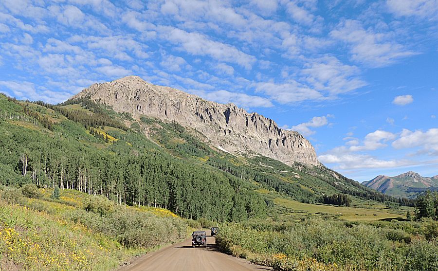
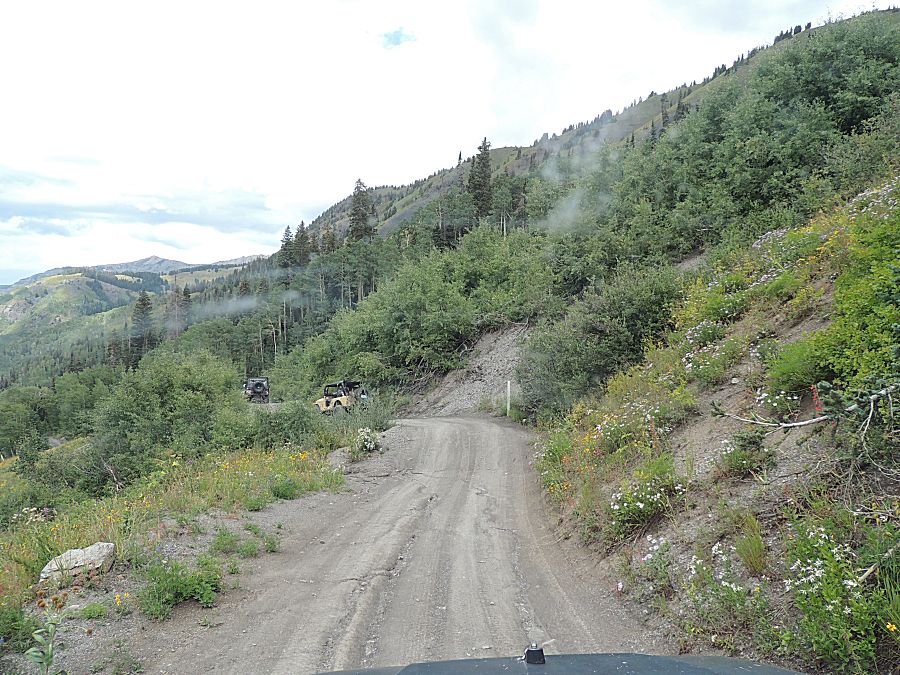
| Lead
King Basin's / Lost Trail Road's trail has intersected the Crystal /
Schofield trail and we're headed up valley towards Schofield Pass - but
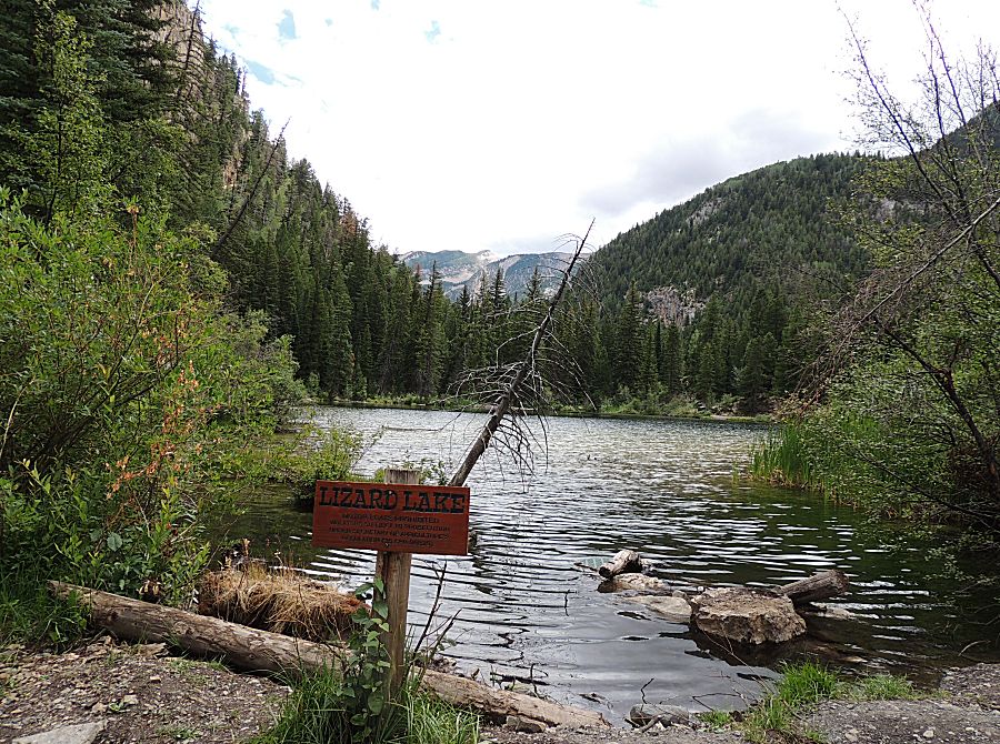
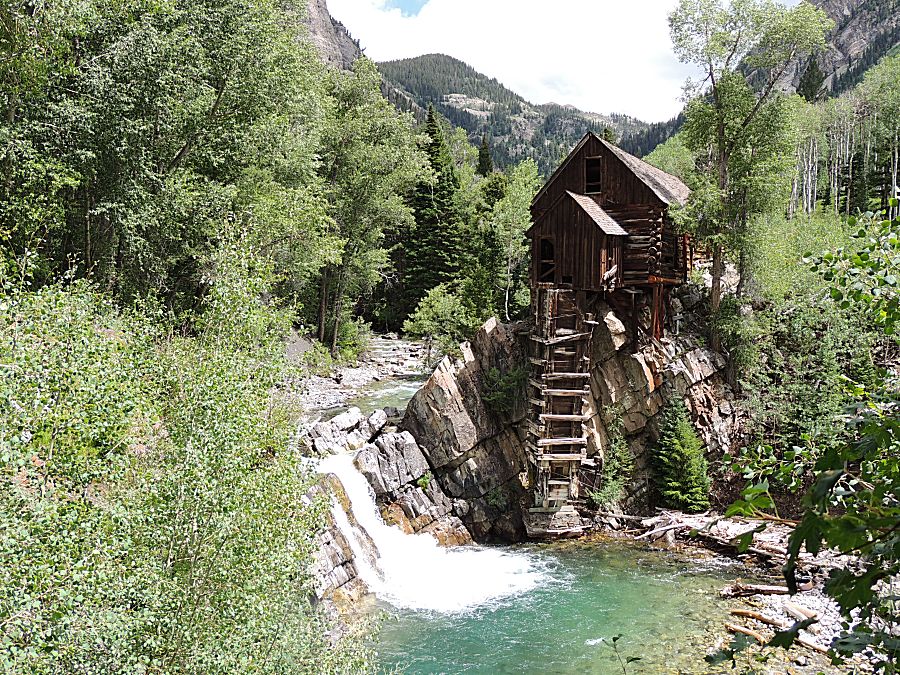
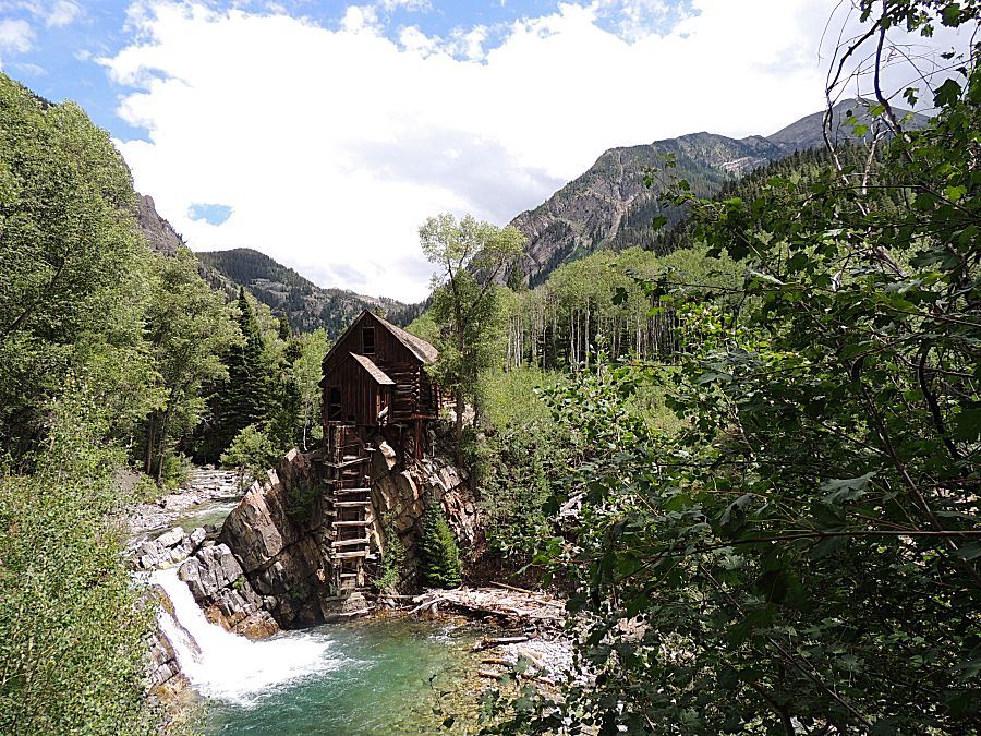
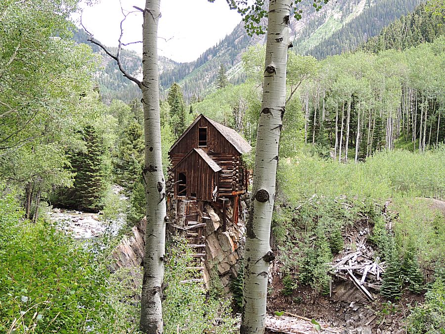
with a stop at the iconic Crystal Mill. Lizard Lake |
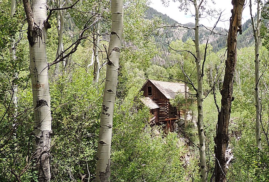
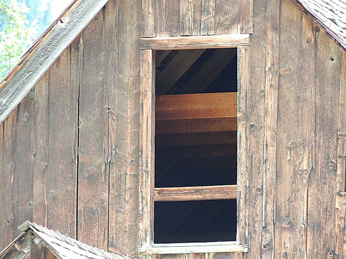
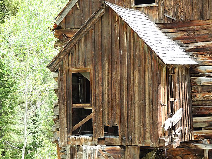
| A few mill photos to be had... |
| The
river used to have a dam to raise the water level for better hydraulic
performance. The building is called a Crystal Mill but I read that it was
actually a powerhouse, one that ran an air pump for compressed air that
was used in the mill. |
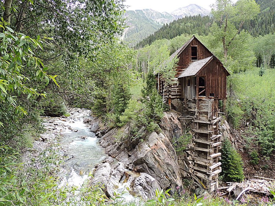
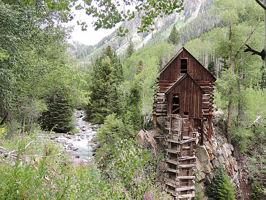
| The building is being maintained |
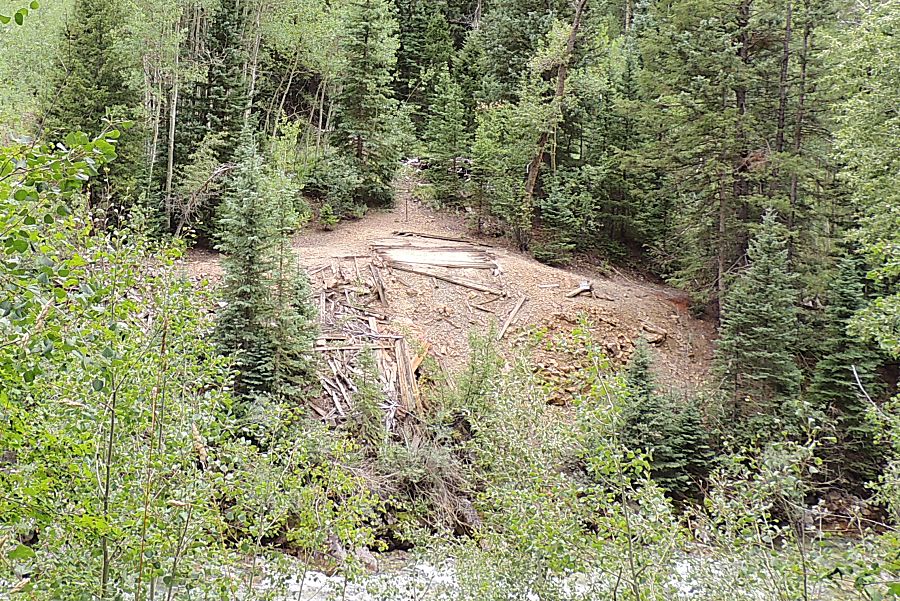
| This debris - was it the physical mill or a house for a miner? |
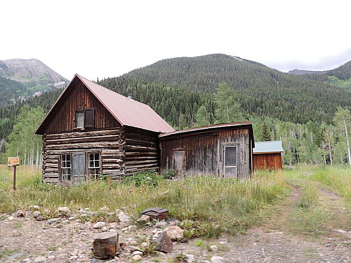
| The town of Crystal. |
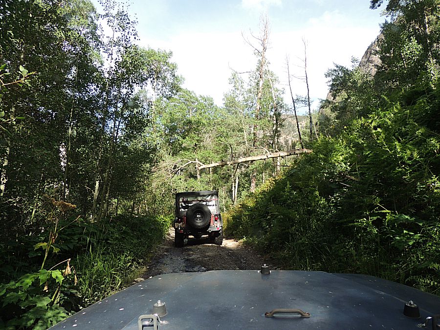
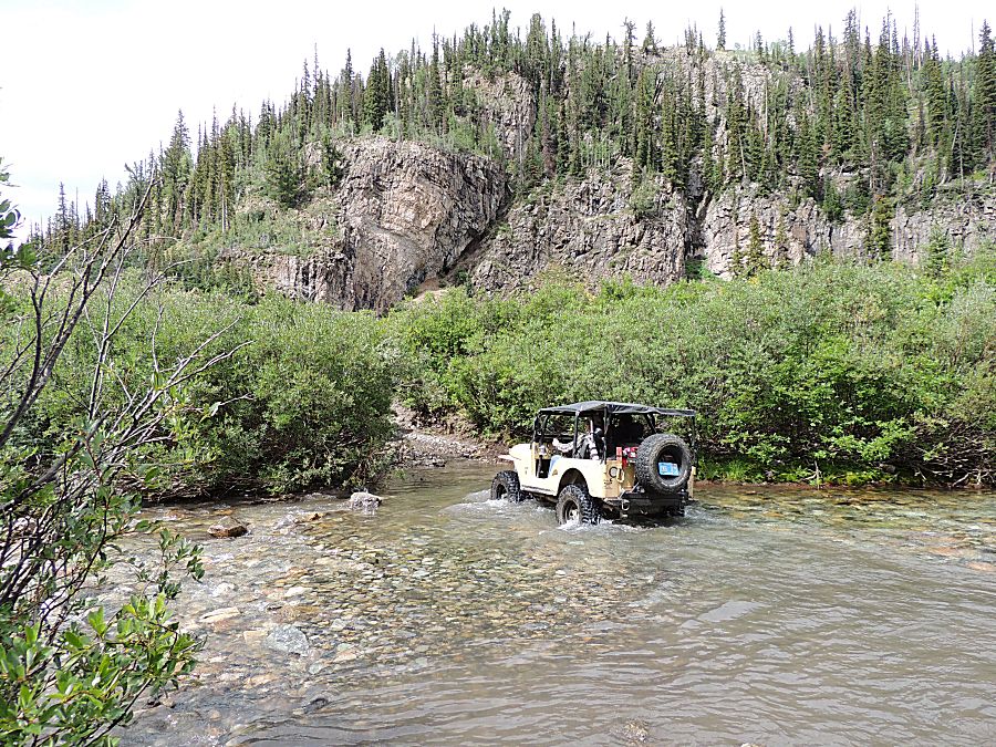
| From the bridge to the creek crossing up river, we'll have sections of narrow trail. It's raining and the rocks are wet. |
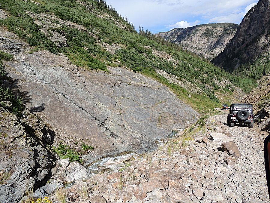
| This
spot was interesting. The rockface was slick. The right front tire is
hooked over an edge of the slab. The front axle won't side down.
The area is wide enough we're not worried of slipping off of the trail
- but it's a curious spot. Once the rear tires get onto the surface,
the right rear is not hooked at the top lip and the rear tires will
slip sideways. There was a group of hikers down at the river watching the group of us navigating the trail. |
| And the slip - still ample distance to not be close to the edge. My jeep will do the same. |

| Back to the waterfall |
| Schofield Pass |
| The people in the front car were rolling VERY slowly. |
| Fortunately they pulled aside to let traffic pass. |
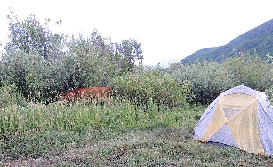
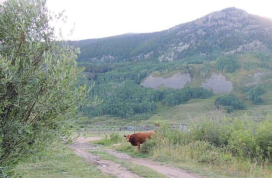
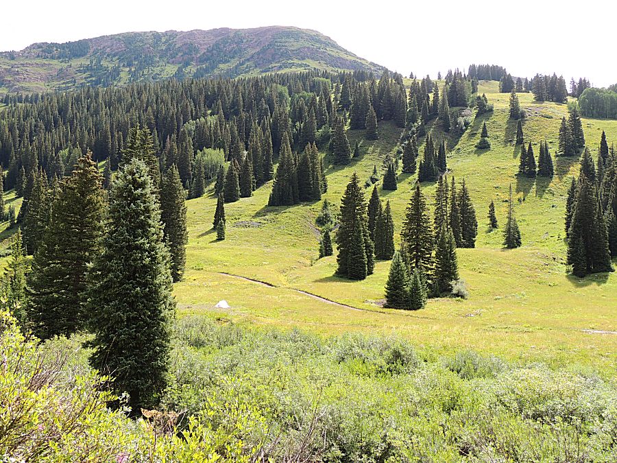
| Camp
1, labeled on my map as "Brush Creek Cow Camp" is in an open range /
grazing area. We had several head of cattle moving through the tall
grass tonight. |