Crested Butte 2024
|
Today
we'll start a three-day string of trails. We will have three days
generally above 9000 Feet in elevation and wonderfully REMOTE. On the
third day I took a picture of a utility pole simply as it seemed odd to
see such a thing. I have been somewhat lost as I'm simply following
along with the group. They have the trails planned. While they gave me
an itinerary I mostly didn't give it a look. The mental aspect of being
lost in the mountains was good. |

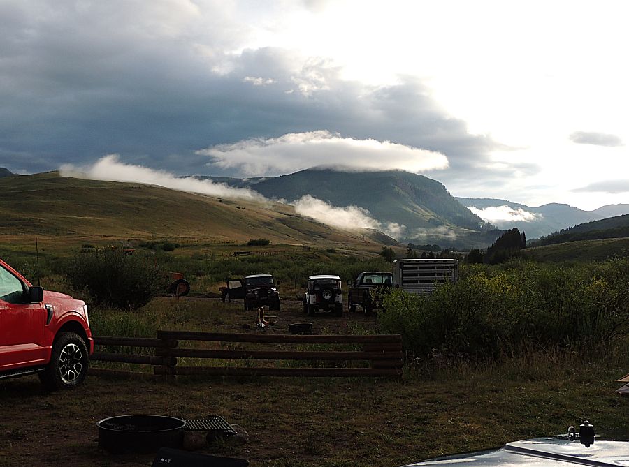
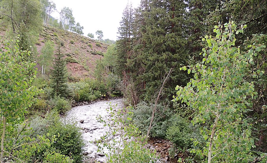
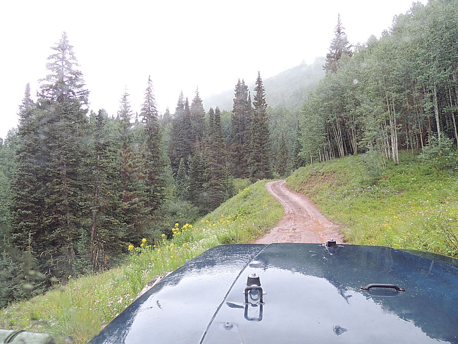
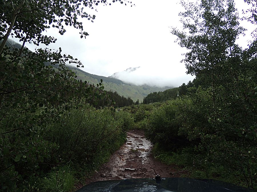
| Today will have low clouds to make for
interesting scenery. |

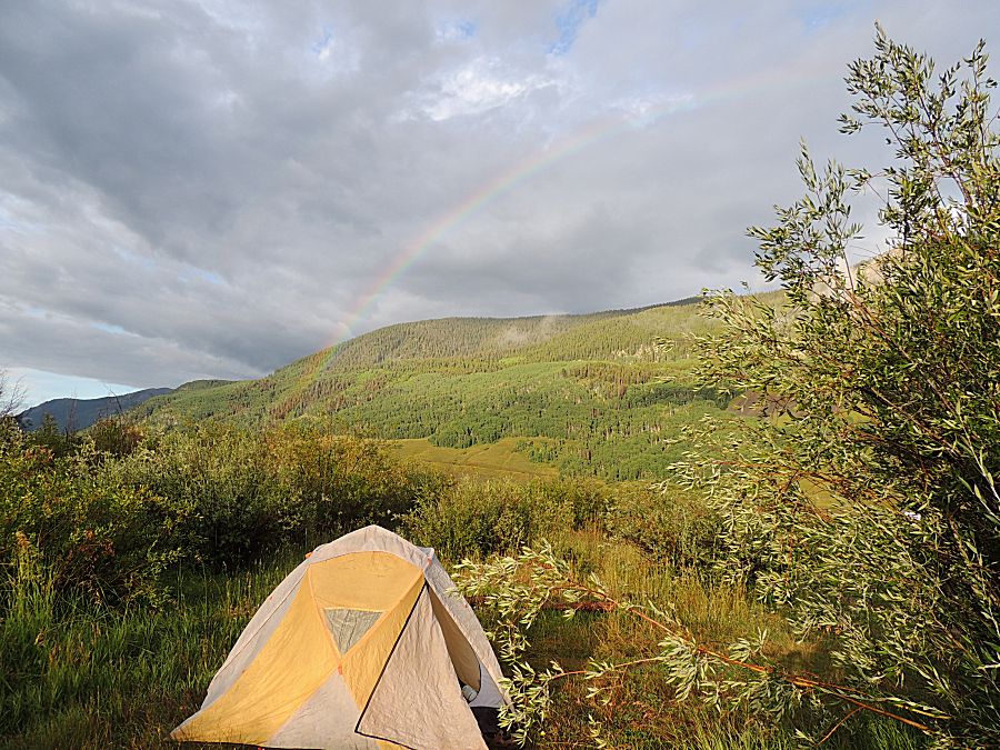
| ...and a rainbow |

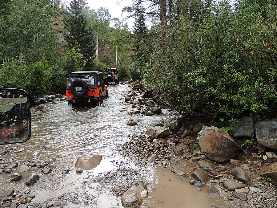
| Early into the trail the tan jeep from Florida
spit out a U-Joint on the rear driveshaft. Out come the tools, spares and helping hands. |

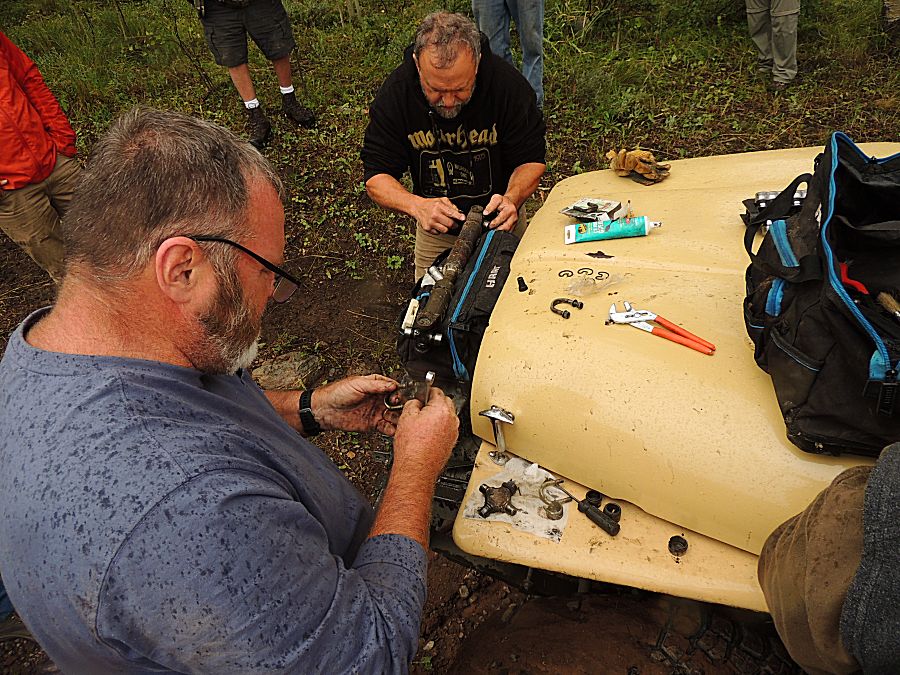

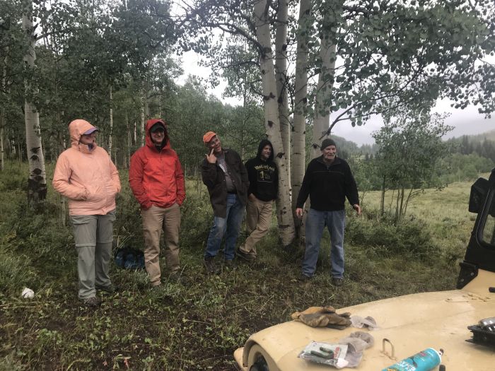
| That didn't take too long (58 minutes) |

| U-Joint replaced, we're moving again (it held for the rest of the trip!) |

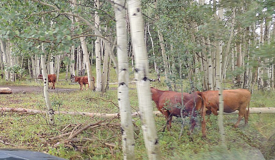
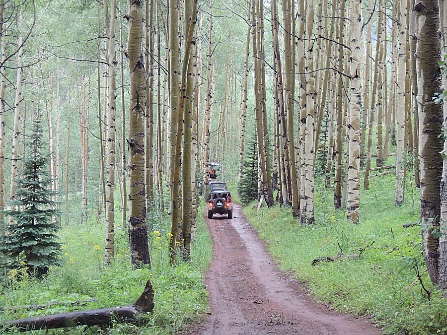
| Likely the same cattle that were at camp last
evening. |


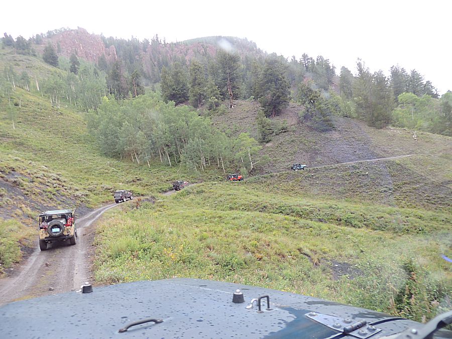
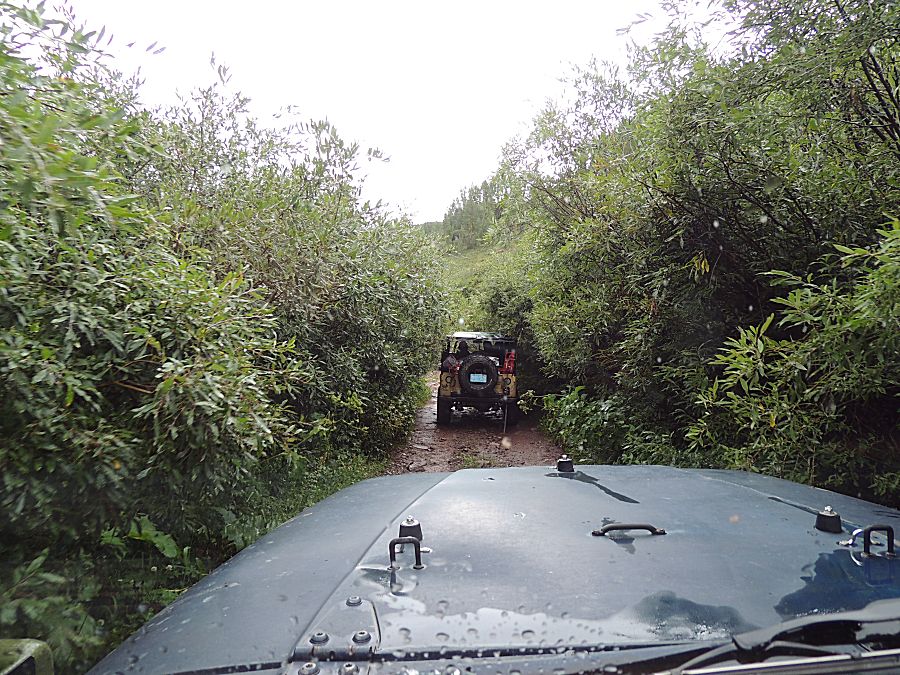
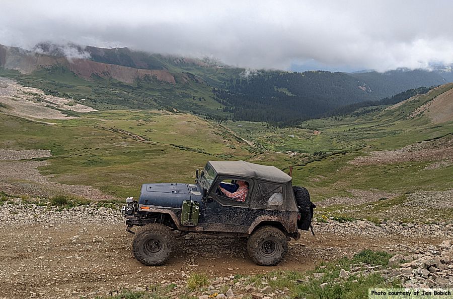
| The tan jeep has some flexible leaf springs.
It gets some curious body lean. |

| We passed this guy walking the trail. Unknown
if he's going up river for fishing or if he's out for a long hike. |

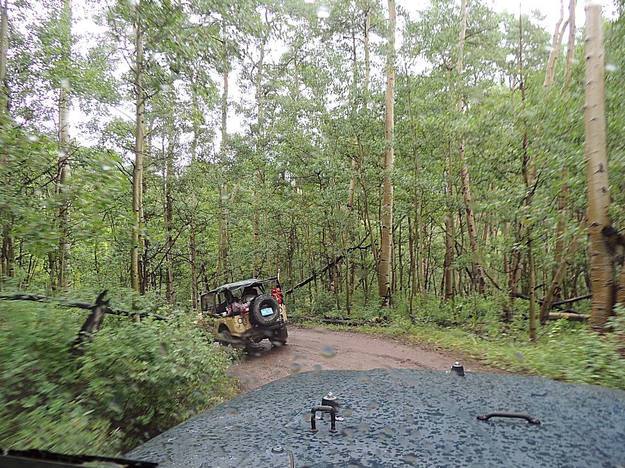
| The white vehicle passed us at the start of
the driveshaft repair. They came up for the fishing. |
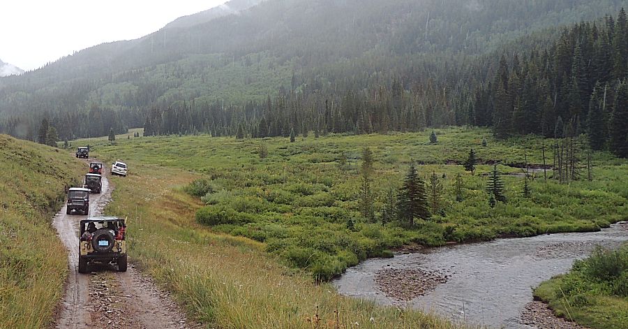
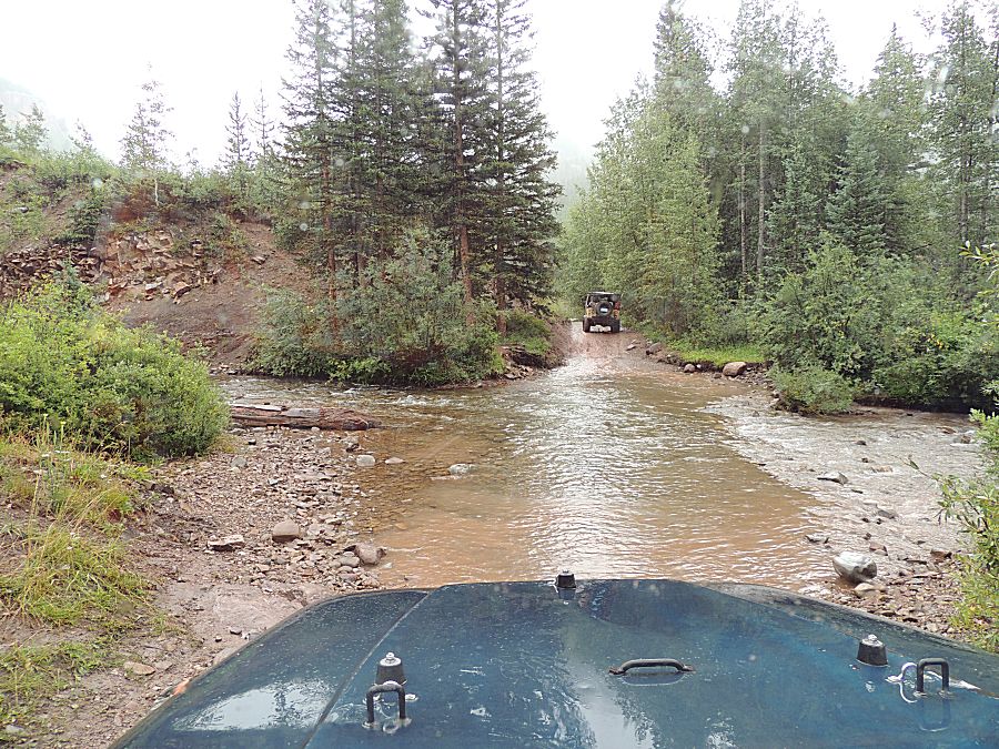
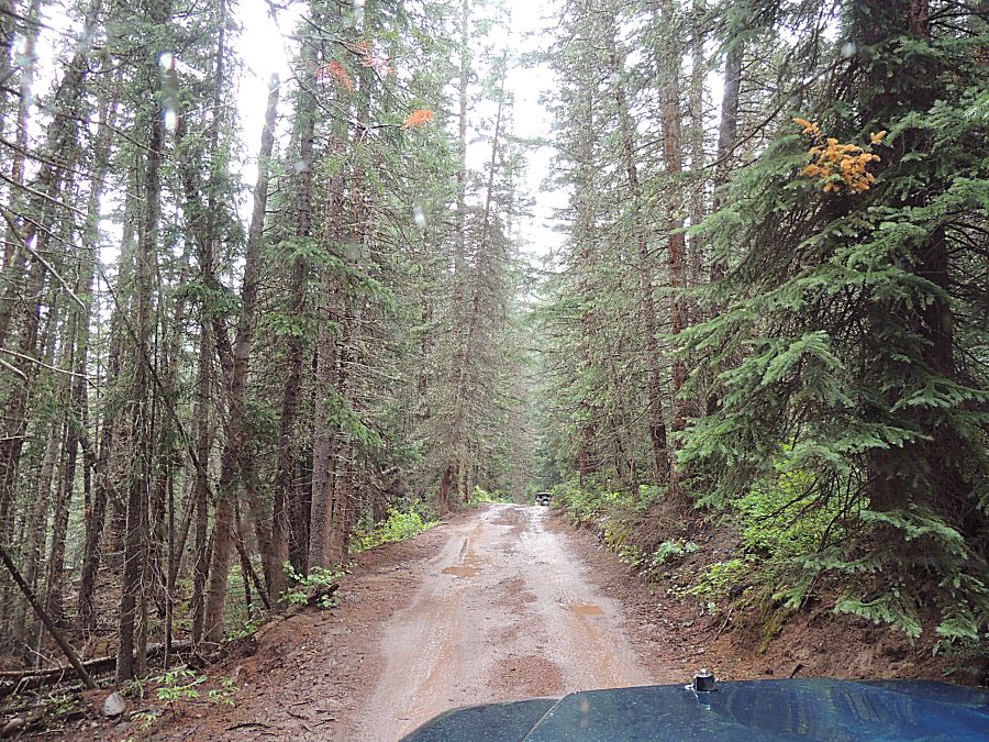


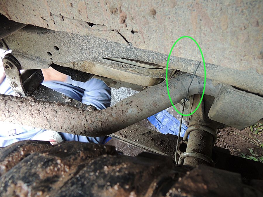
| Repair
event #2 (quite small). An exhaust hanger separated from the
exhaust pipe. Tie the exhaust pipe to the frame with some bailing wire.
It held
for the remainder of the trip. |


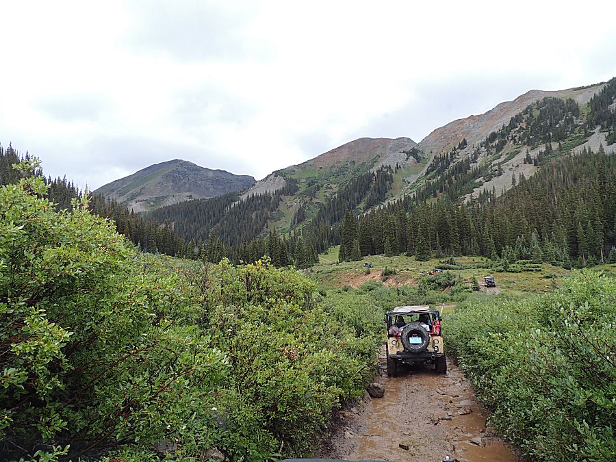
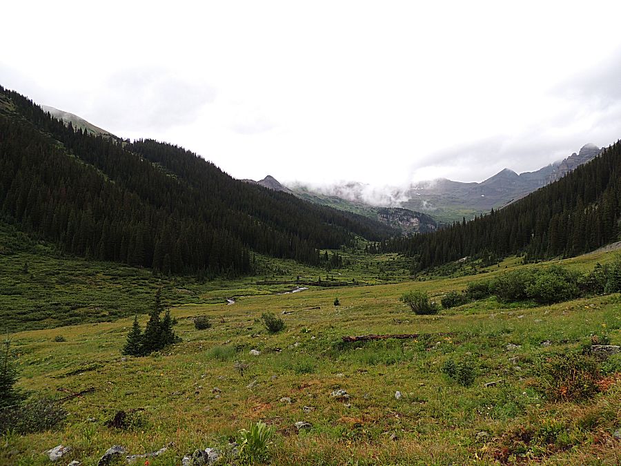
| Avalanche path? |
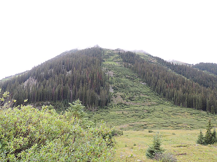


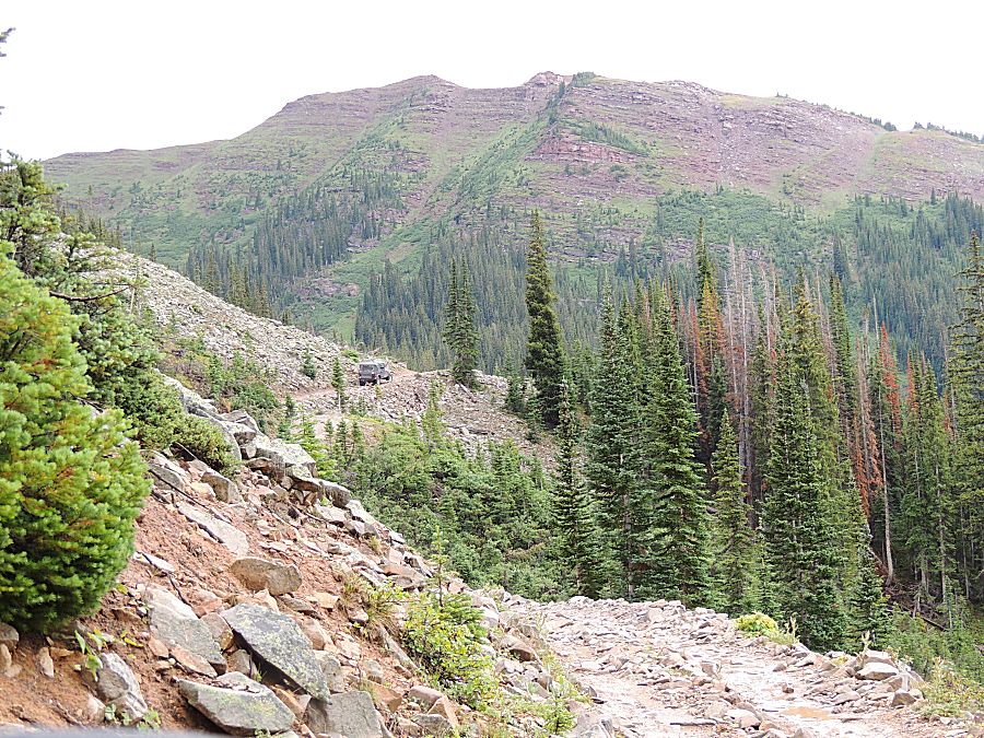


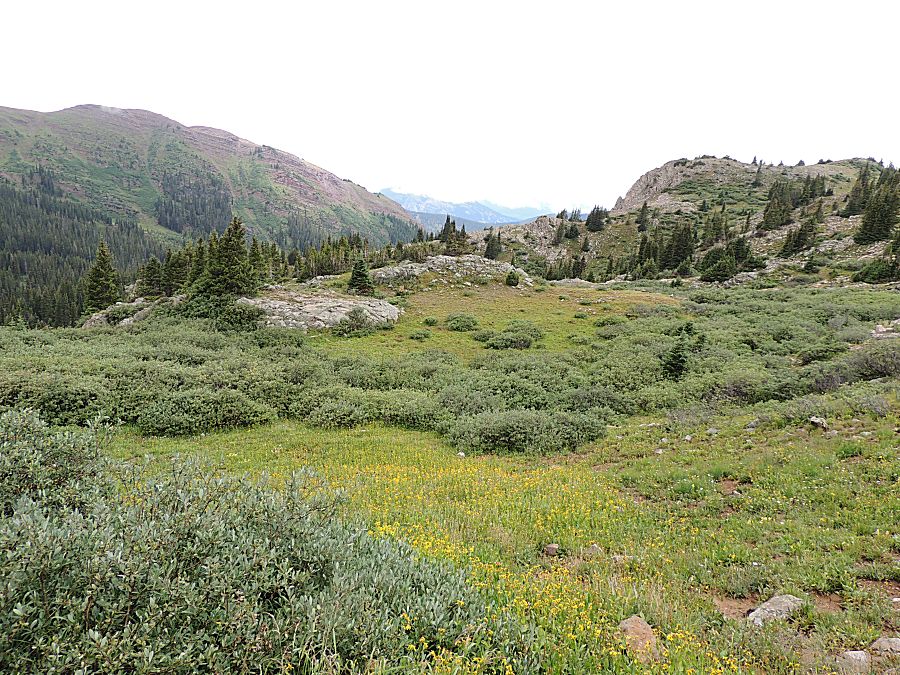
| The ski runs on the north side of Crested
Butte. |

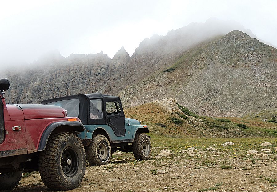
| Above timberline - no trees. |
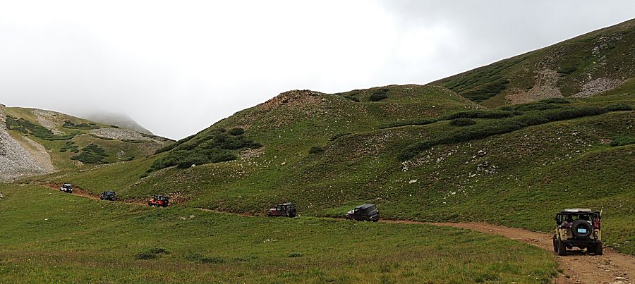

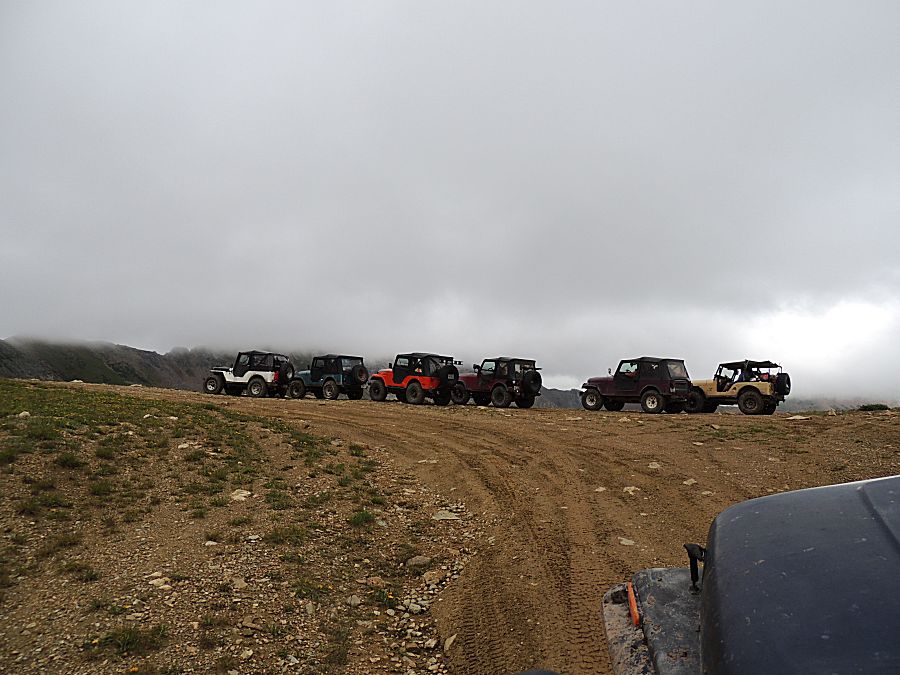


| Panorama Click for a larger size |


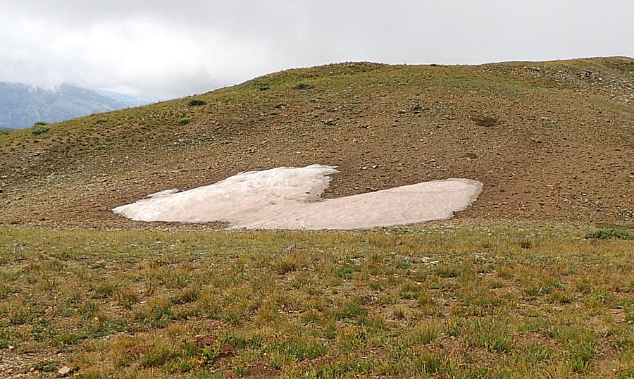
| Up with last season's snow. |
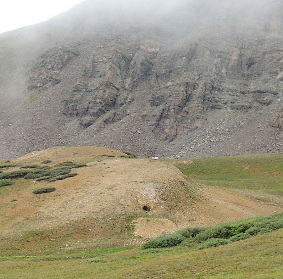
| Someone did some digging. |

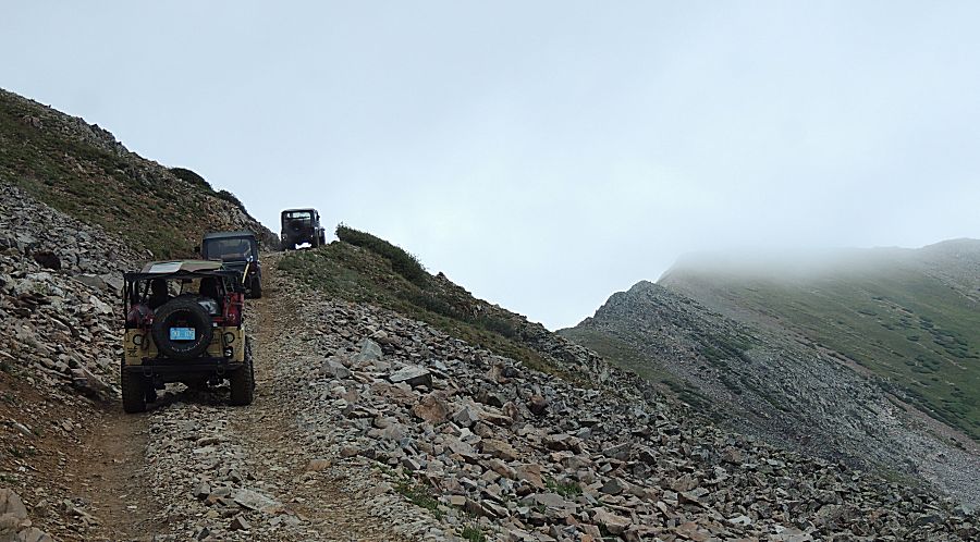

| Nearing Pearl Pass |
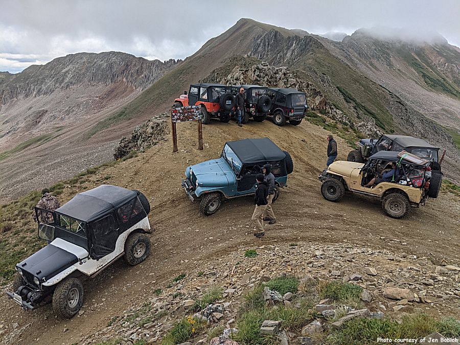
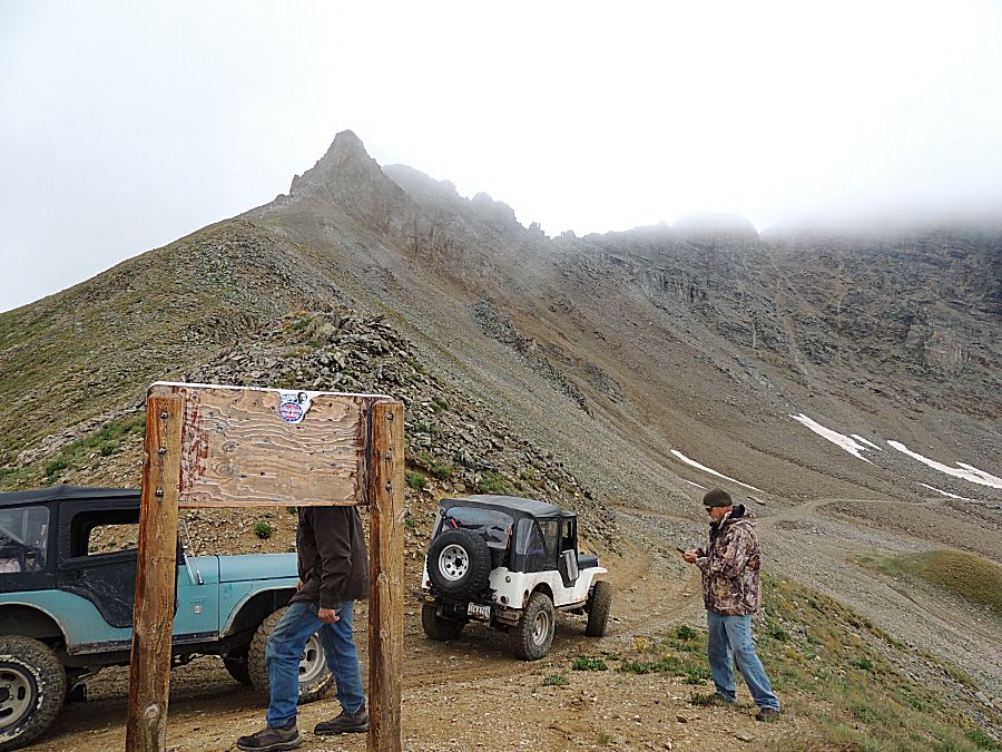
| Pearl Pass Winter coat and hat weather |

| Panorama Click for a larger size |

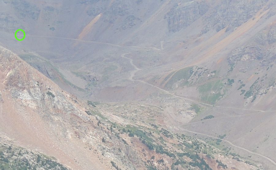
| That
green dot is an optional side trail that some of our group will travel.
The dot marks a spot where the tan jeep found the trail to be a bit
spicy. |

| Montezuma Basin trail - a dead end up-n-back. |
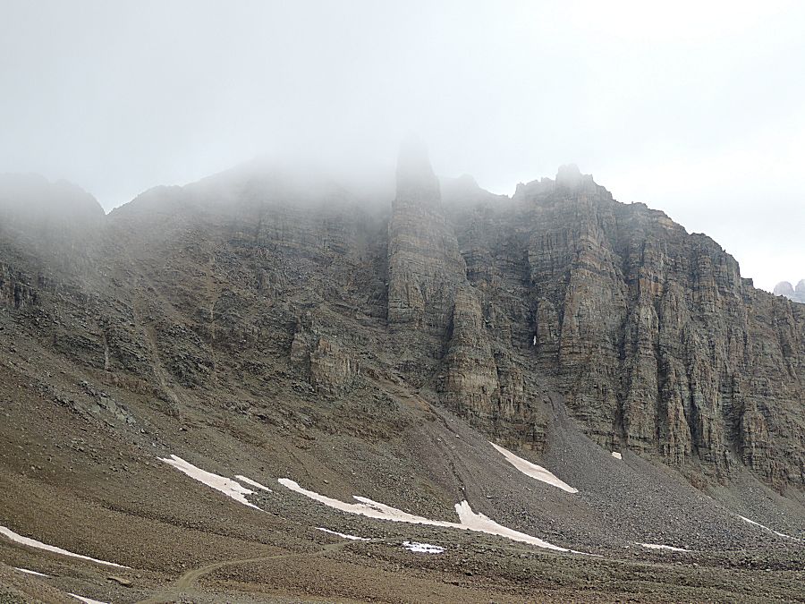


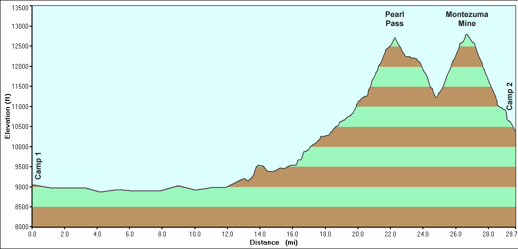
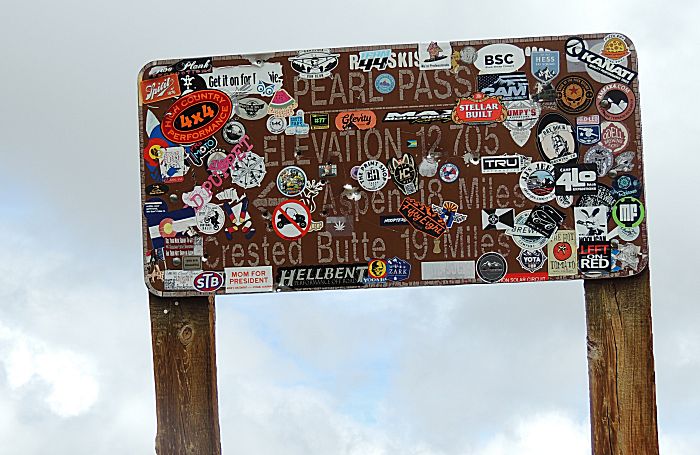
| Pearl Pass Elevation 12,705 Feet |
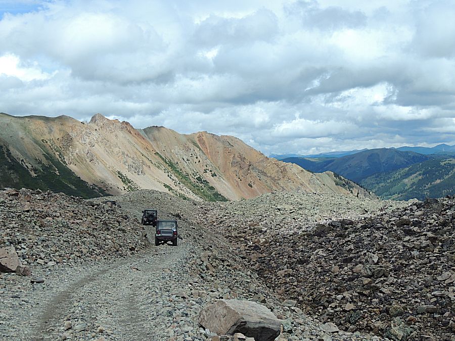
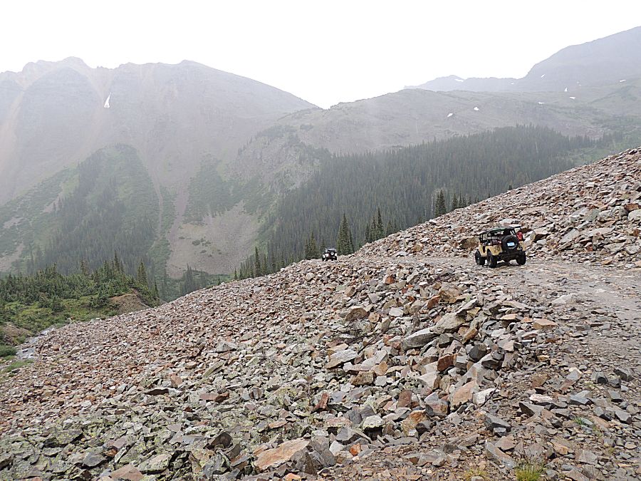
| Heading down Pearl Pass / the north side of the pass, the trail moves through a large area of rocks. |


| A bulldozer / excavator likely worked to make
the trail as nice as it is. |

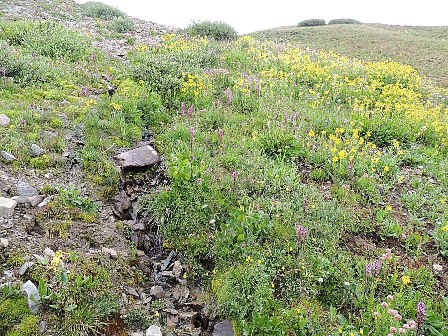


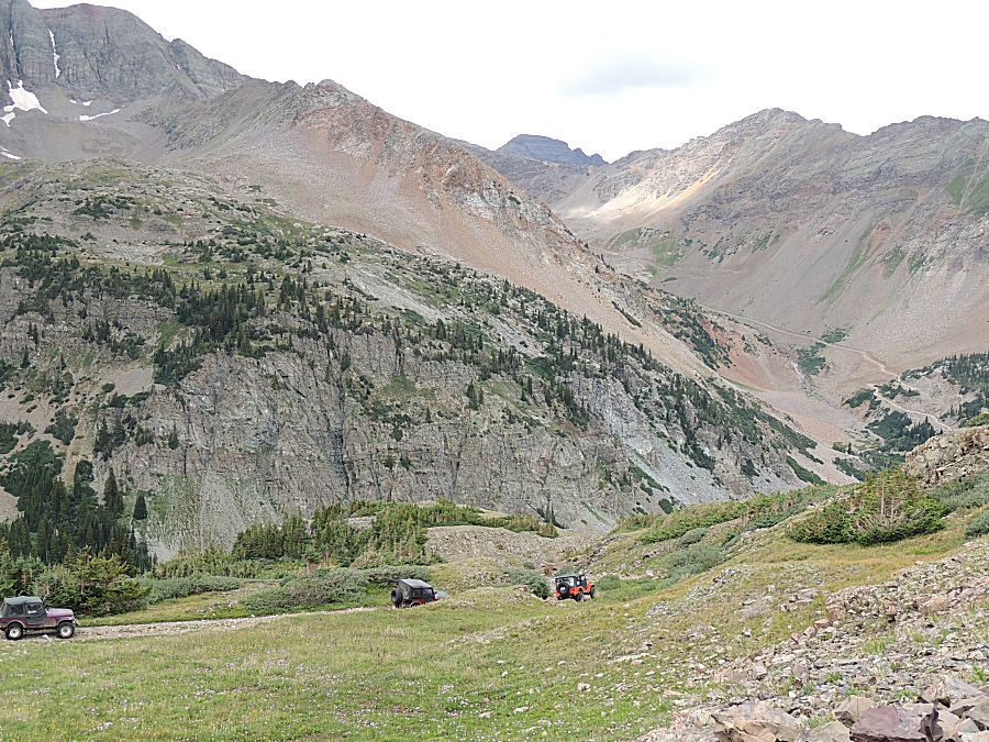

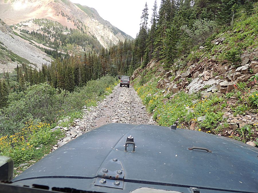
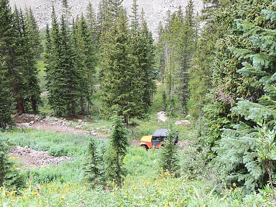
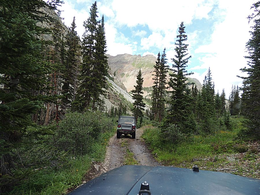
| The
intersection of Pearl Pass Road and the Montezuma Basin trail. I'll go
with half of the group up the mine while the rest of the group looks
for a campsite for the seven of us. |

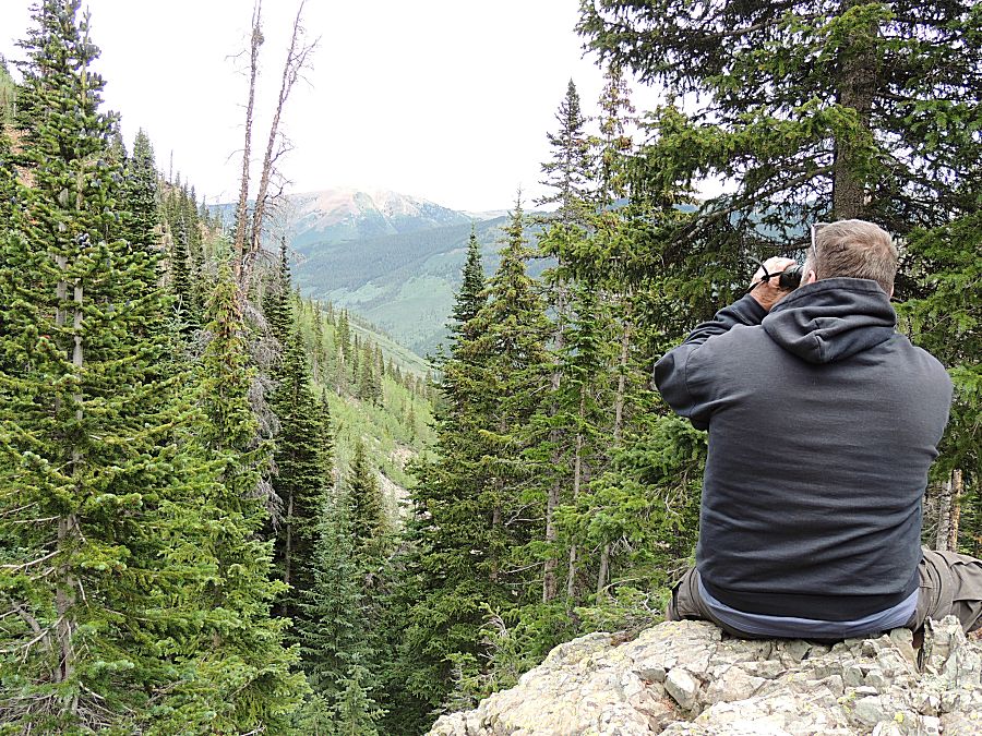
| Scanning for wildlife... |
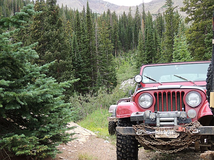

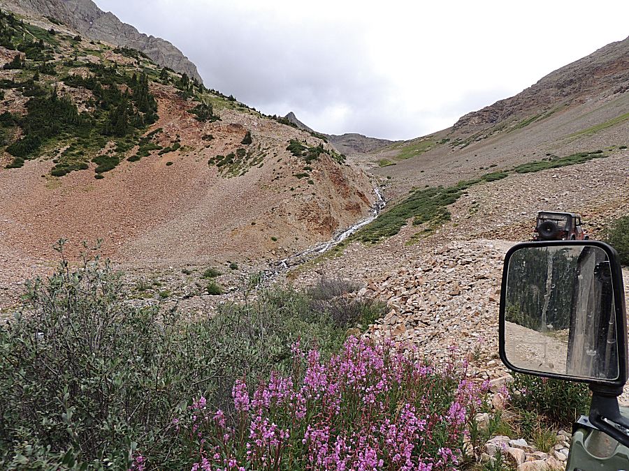


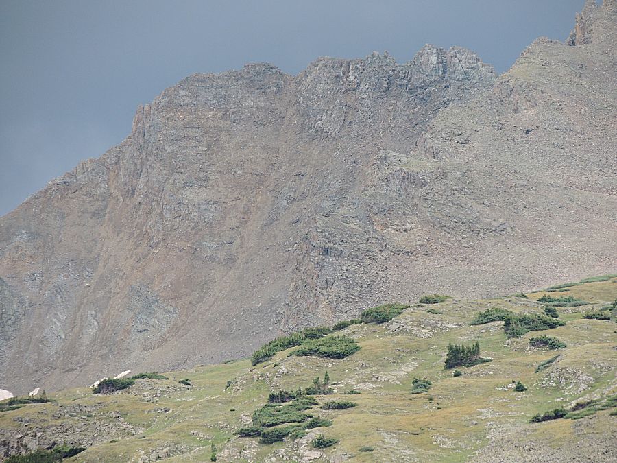
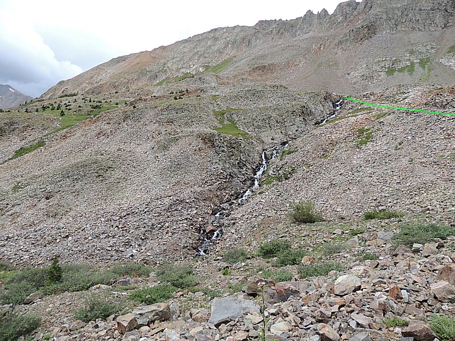
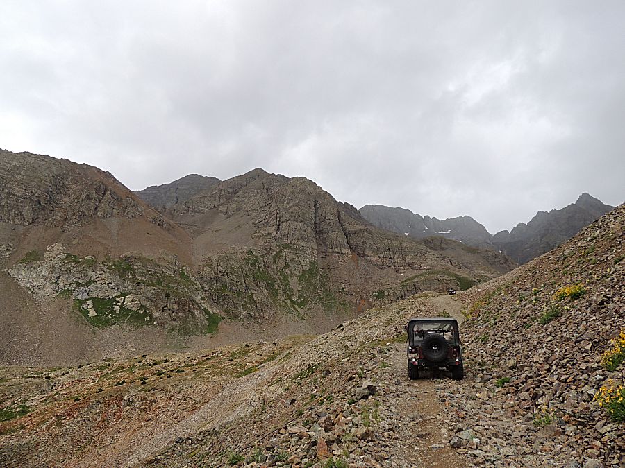
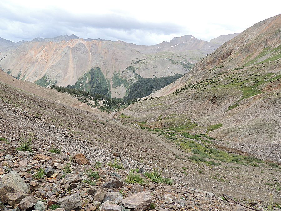
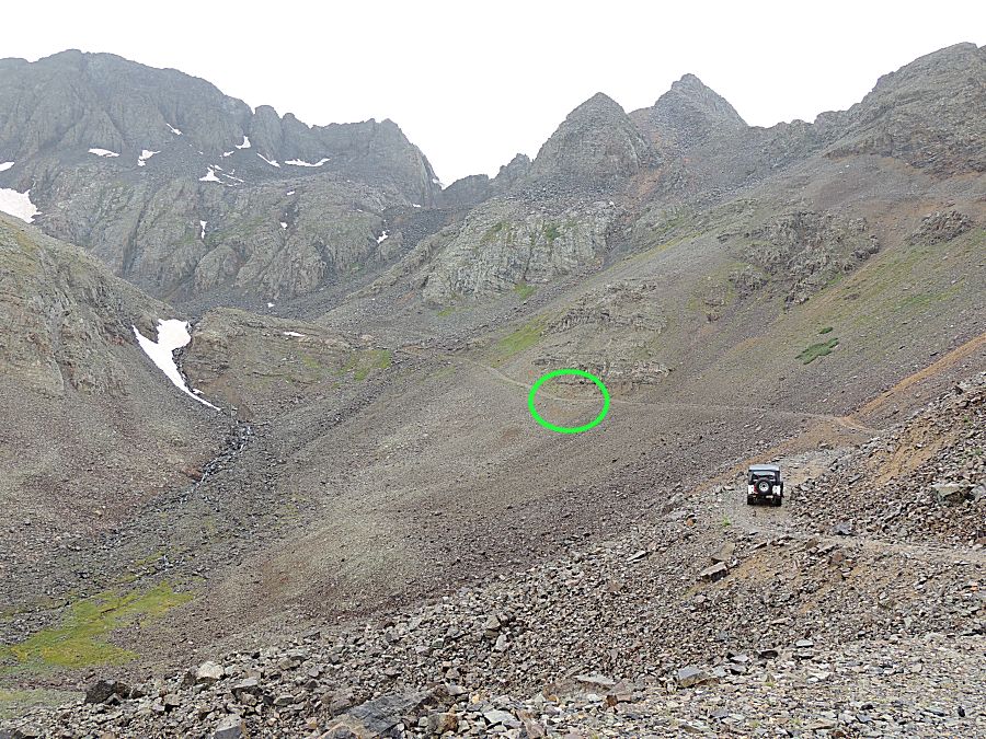
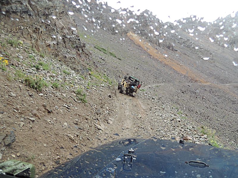
| The
subtle dip in the trail that will get our attention. The downslope
angle of the mountainside is not severe but is steep enough that a
sideways vehicle would roll. |

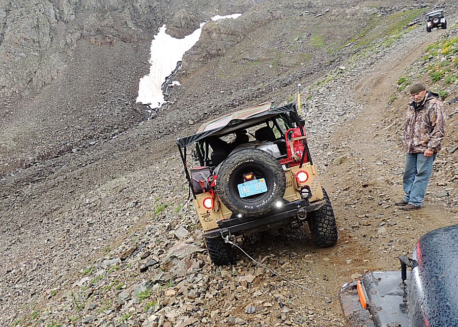
| The
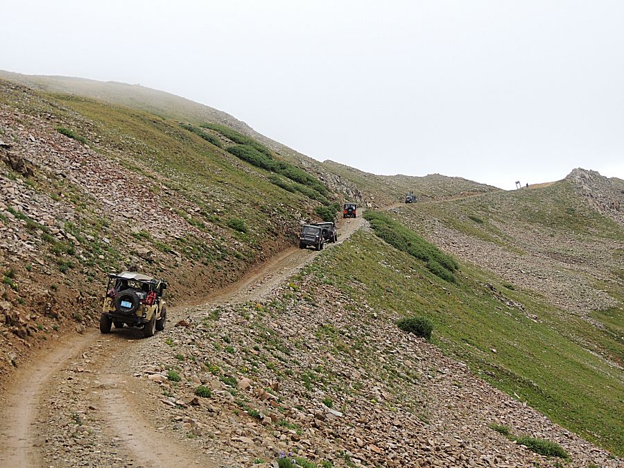
white jeep lifted a right front tire traveling through the dip so the
tan jeep tried to ride the high downslope burm for a better angle.
Unfortunately it started to slide sideways, downslope. They stopped
before anything bad happened. Slow forward/backward motion resulted in
downslope travel. The white jeep went up the trail and
turned around to be front end with a winch close to the front end of
the tan jeep. With my cable at their rear bumper and another at their
front bumper we pulled it sideways back onto the trail. The photo here doesn't seem too alarming. |

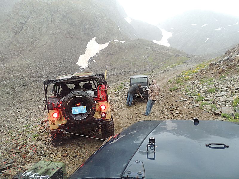
| With a concern of it pulling me downslope - do I put on a seatbelt or leave it off so I could quickly jump out? |

| Back on the trail (it likes to LEAN) |

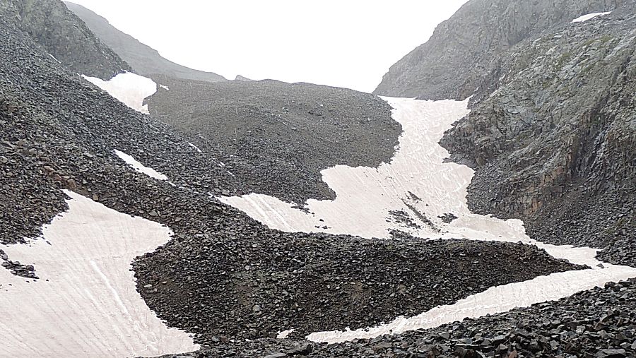
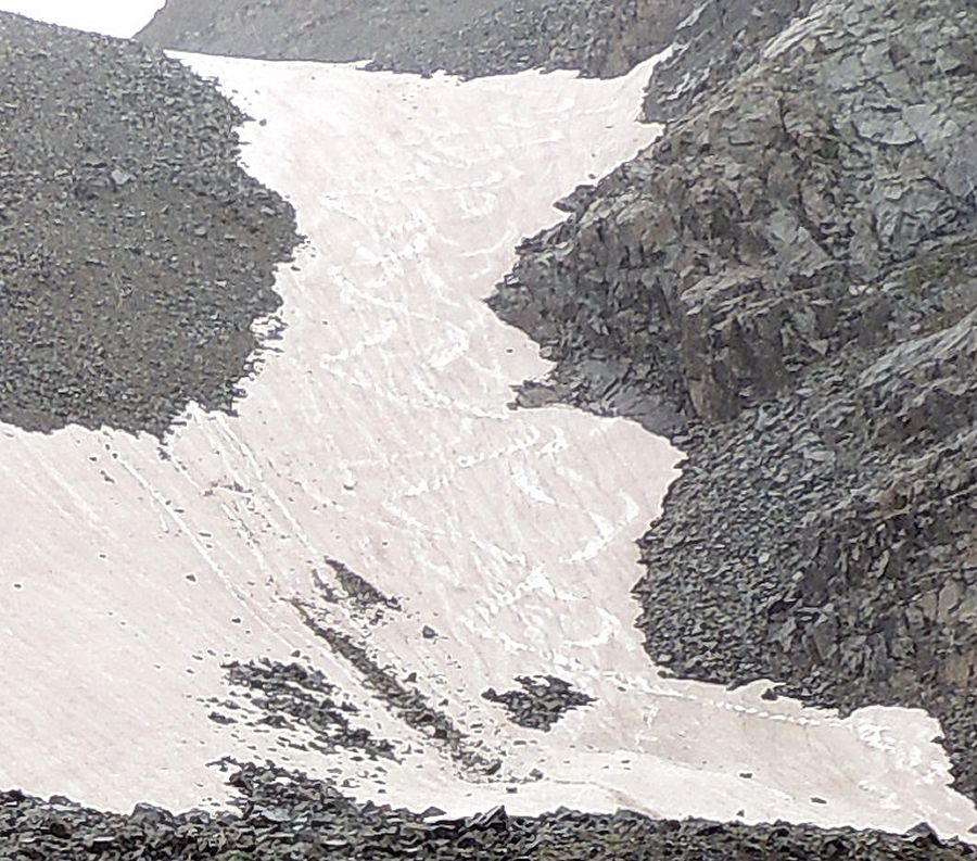
| Up
top. We'll snap a picture and head back. It looks like someone hiked up
to the top of the snow and skied down - S-paths marking
the snow face. |


| Now to drive through the tippy spot again. |

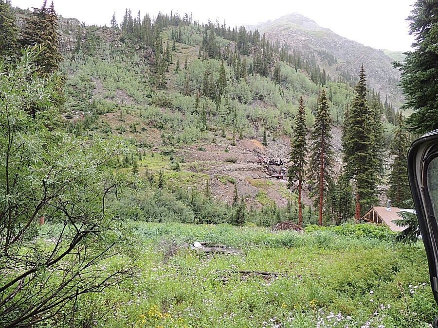
| An old mill |
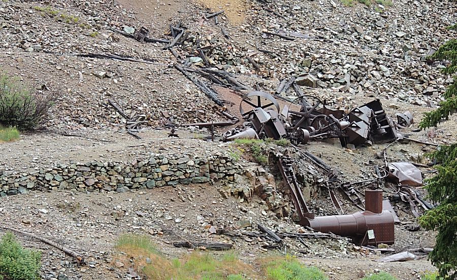
| Boiler and machinery |
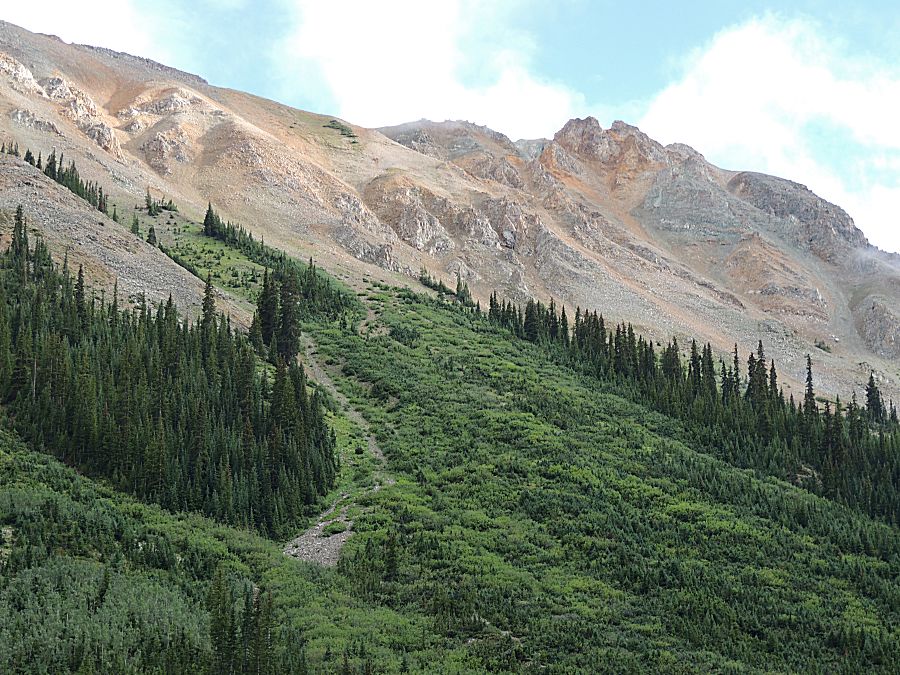
| Elk across the valley. |


| They were about in the center of this photo |


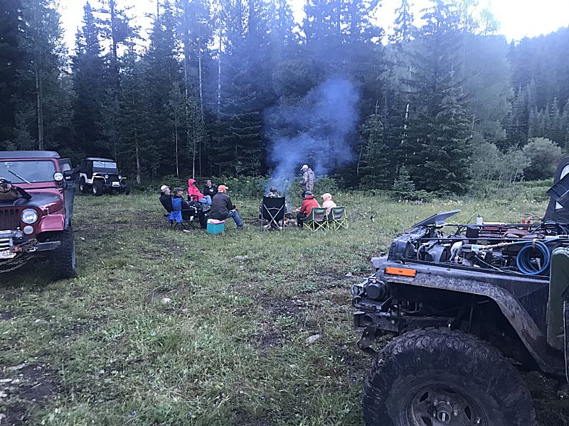
| Checking messages |
