Crested Butte 2024
|
With
yesterday's mechanical issue taking a couple hours we did not travel
the planned Tellurium Creek trail. The group decided to visit that
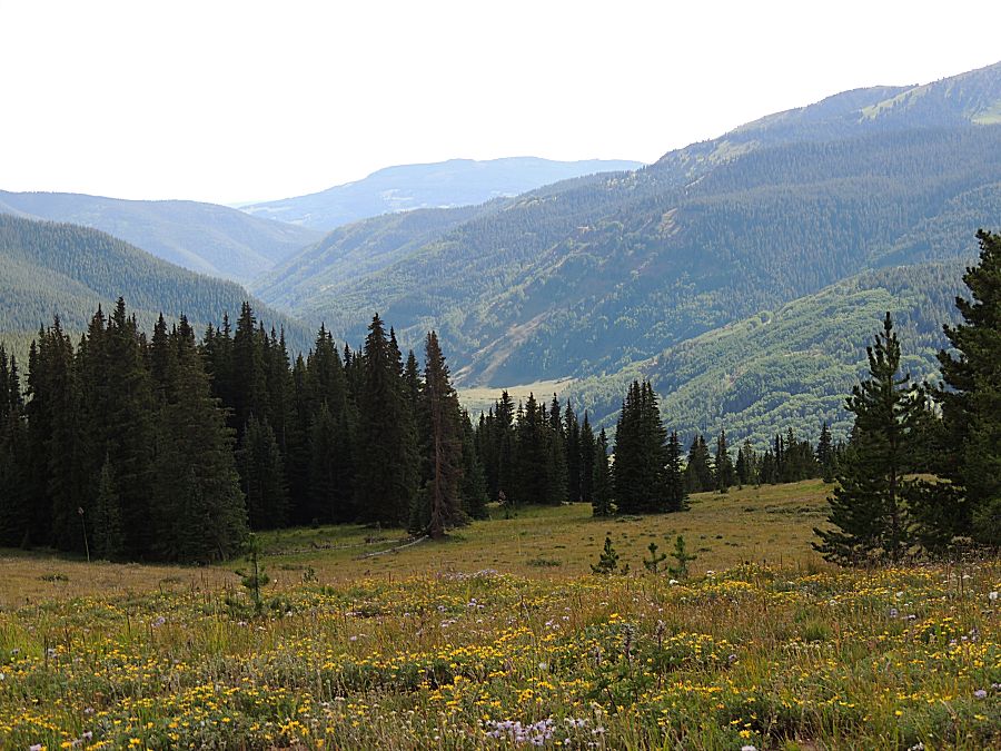
trail this morning before traveling the trails originally planned. The Tellurium Creek trail was a bumpy, in-the-trees slog for an hour+ but the end scenery was well worth it. The end scenery is up there with Lead King Basin's valley scenery. |
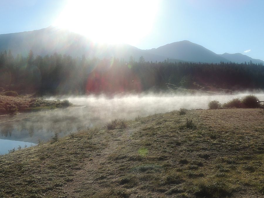
| The coldest morning. Hard ice on the metal of the camp stove. Water elsewhere was liquid. |

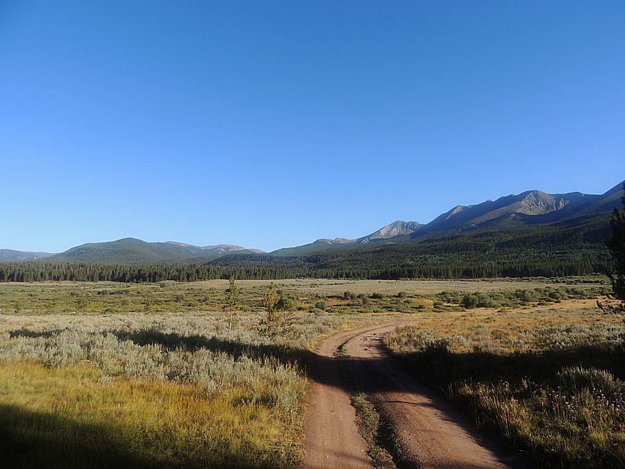
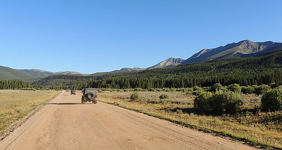
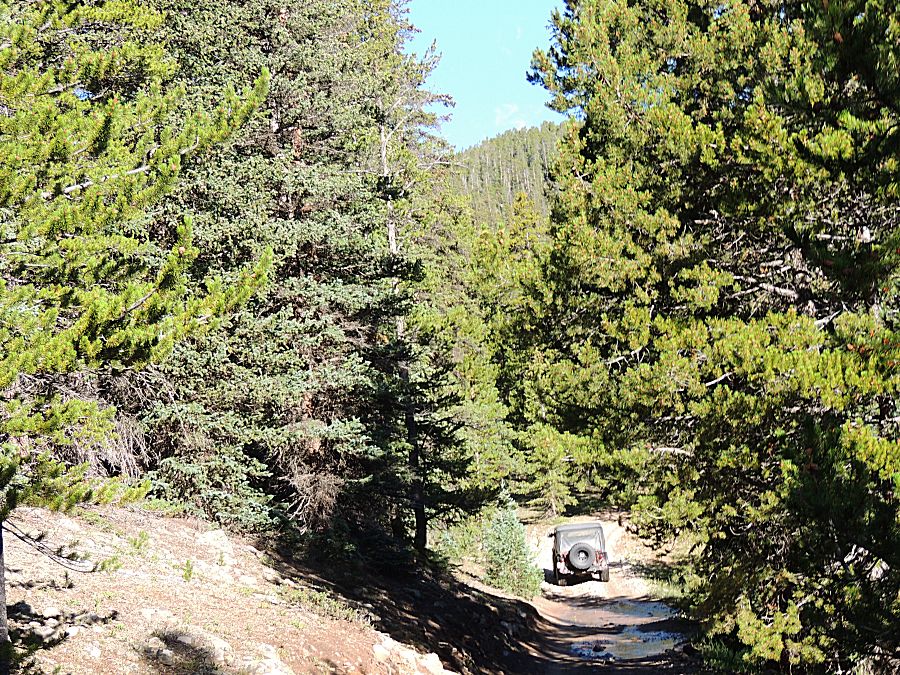
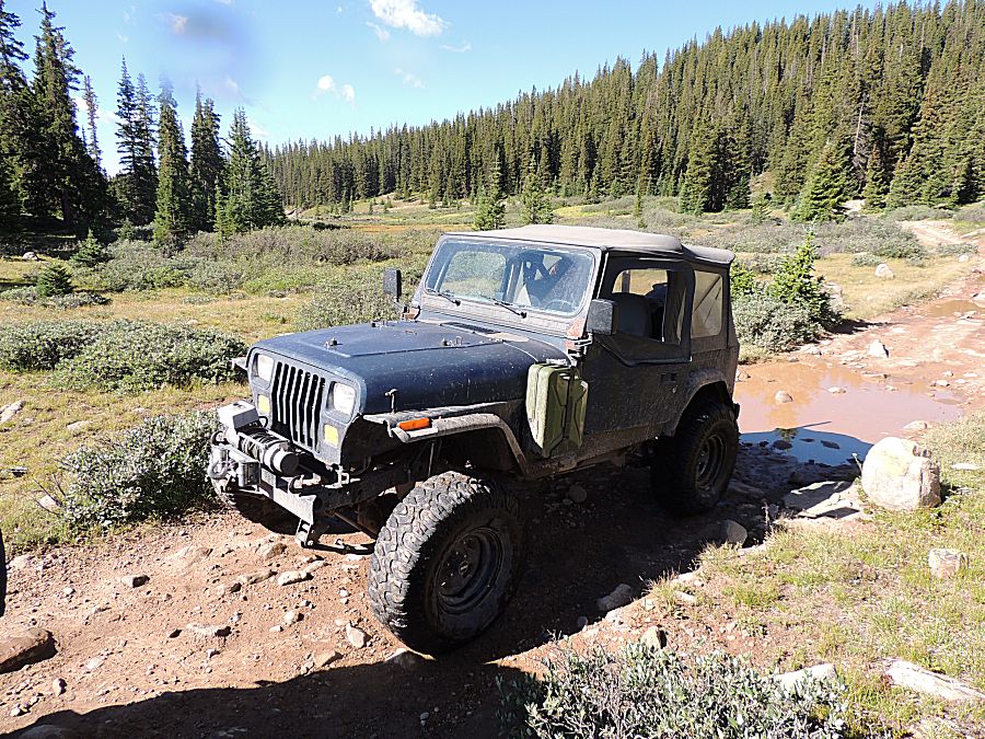
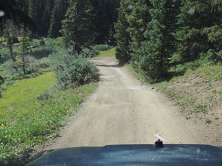
| Heading up the smooth road a mile from camp to the Tellurium Creek trail. |
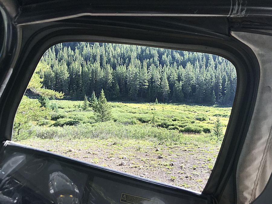
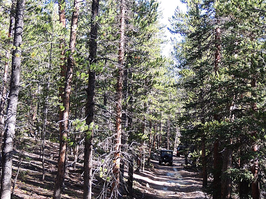
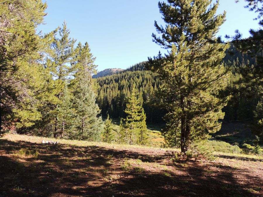
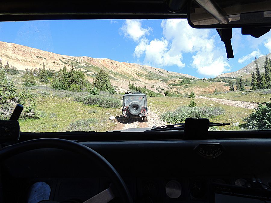
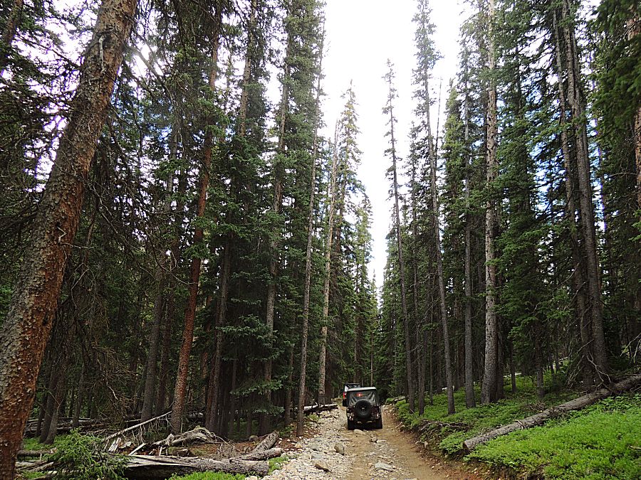
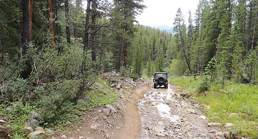
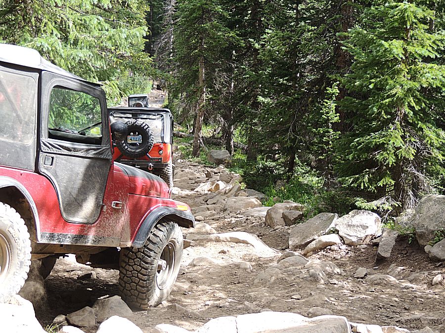
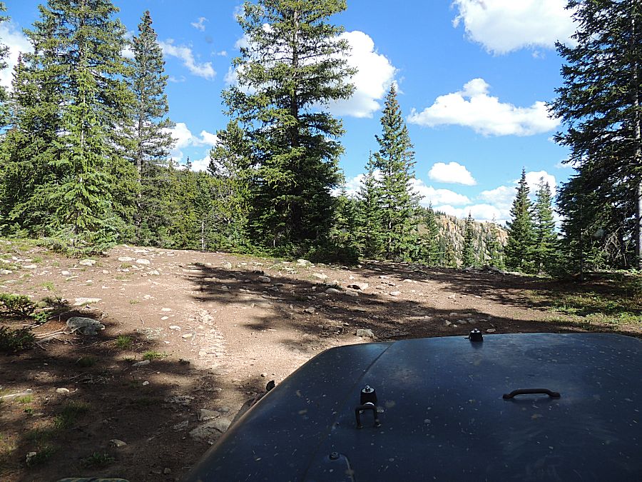
| An hour of this... |
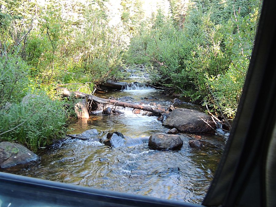
| ...with an occasional peek out |
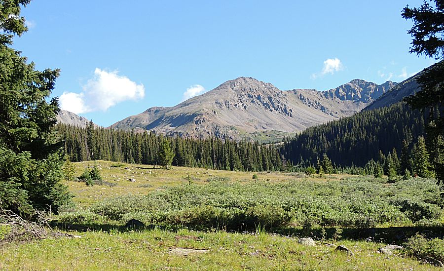
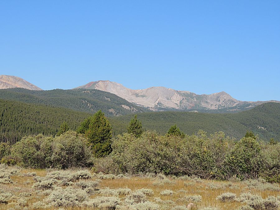
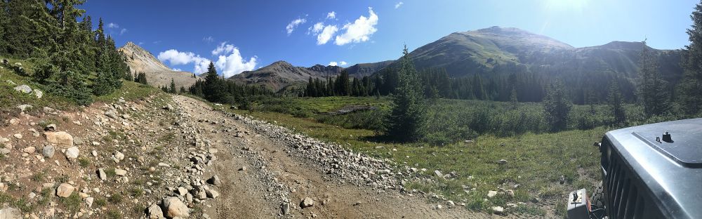
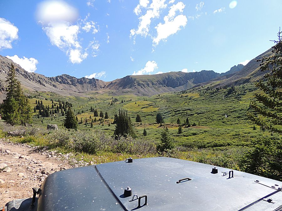
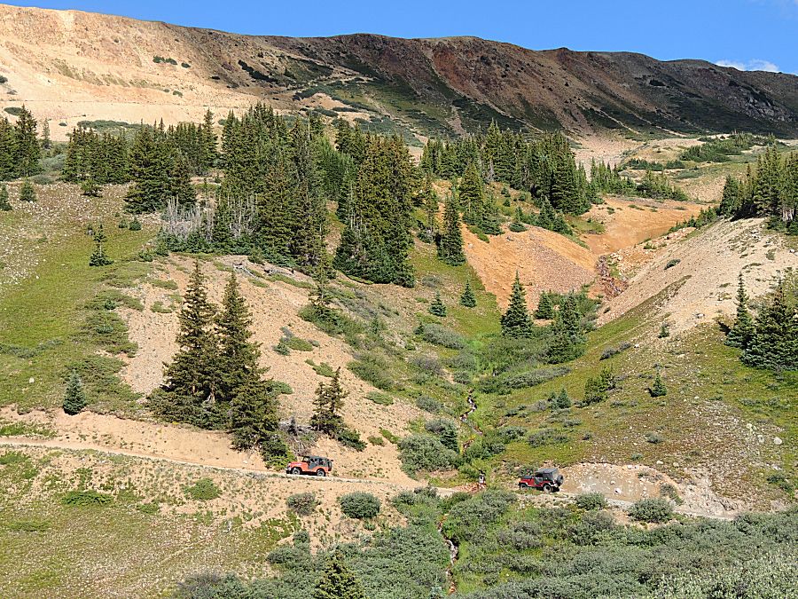
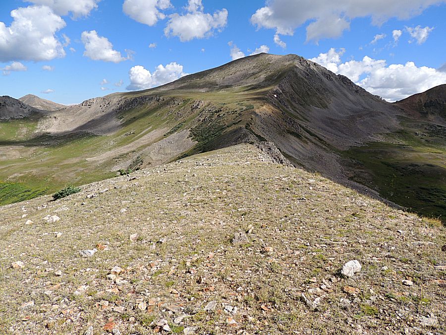
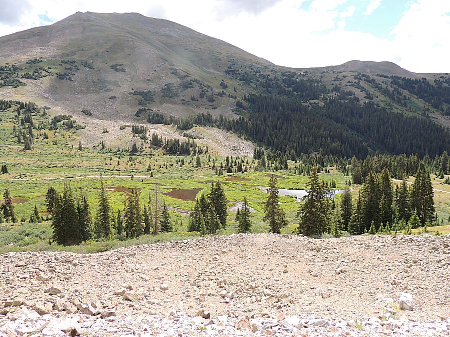
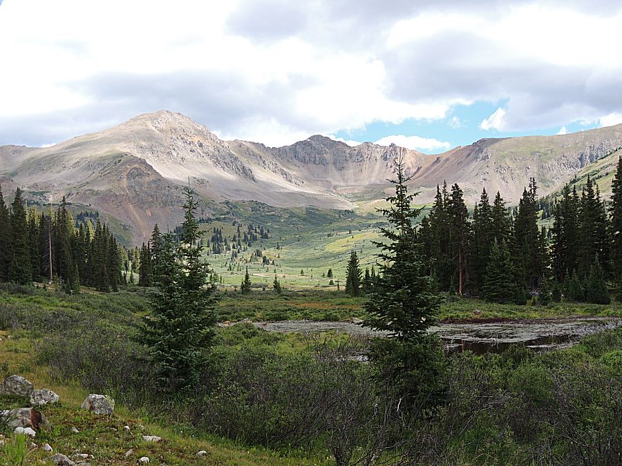
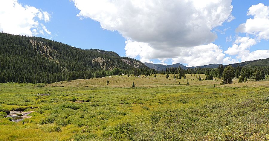
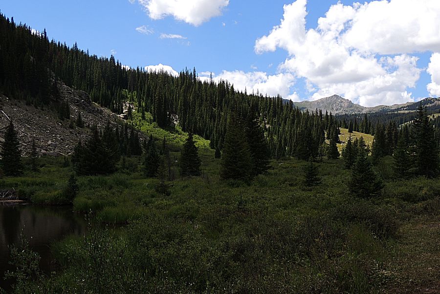
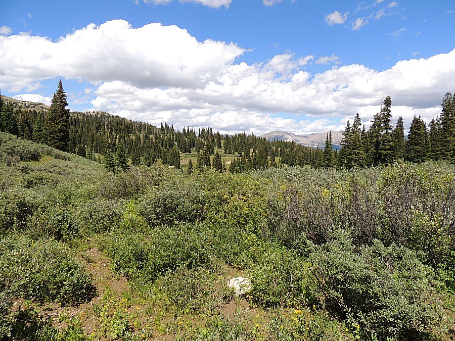
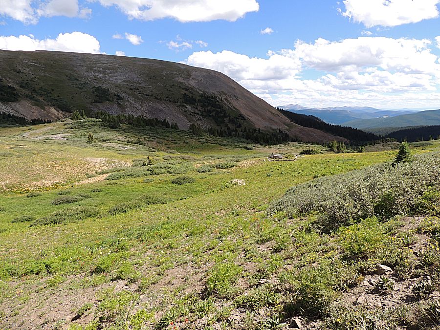
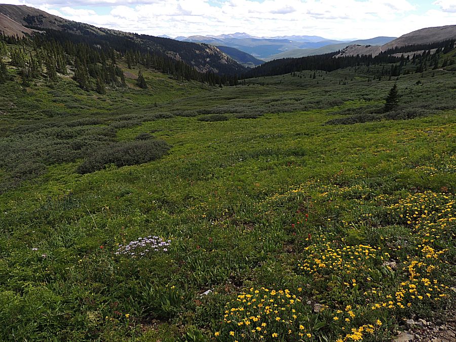
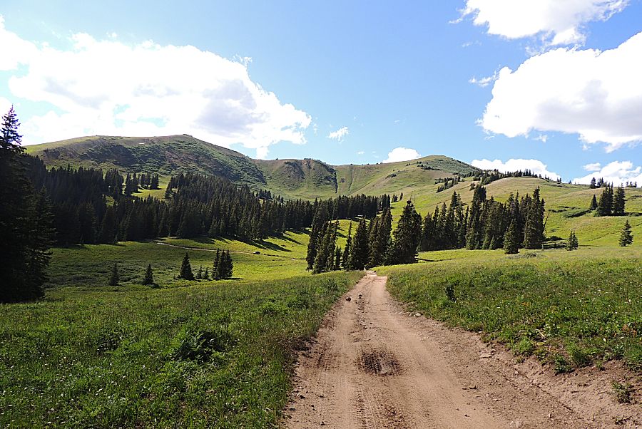
| Up nearing the good views. |
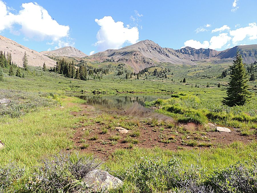
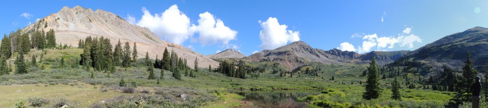
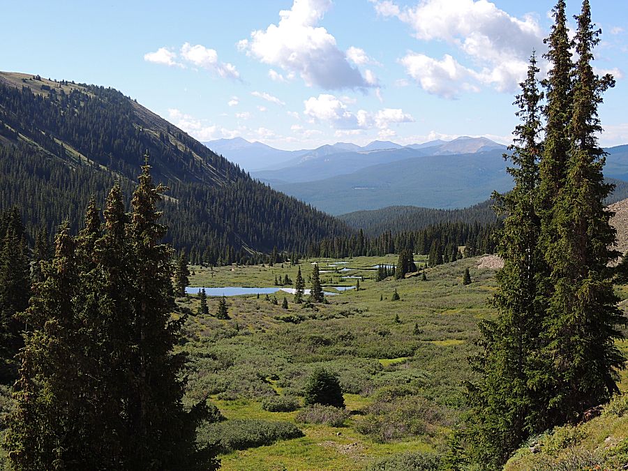
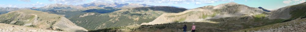
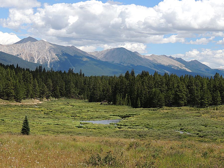
| Panorama Click for a larger size |
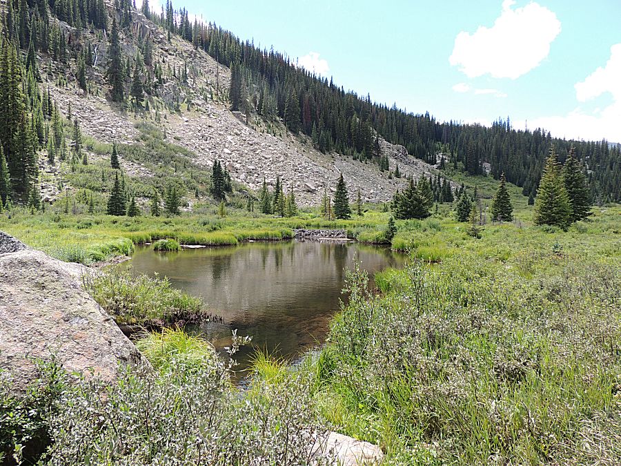
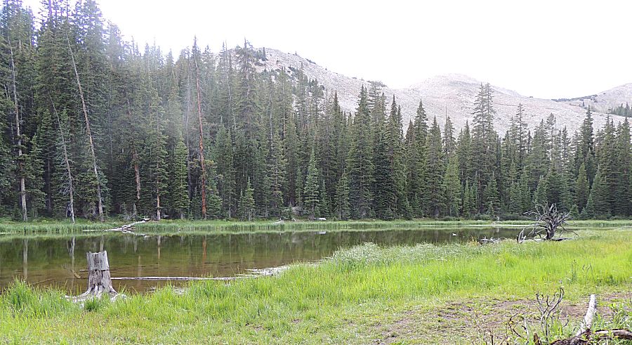
| Beavers at work |
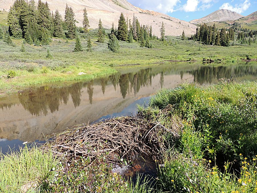
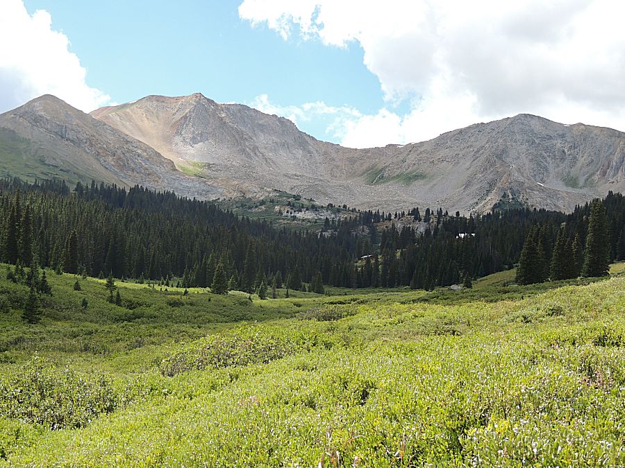
| That two-track, gated closed, heads up to Tellurium Lake |
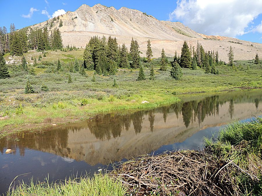
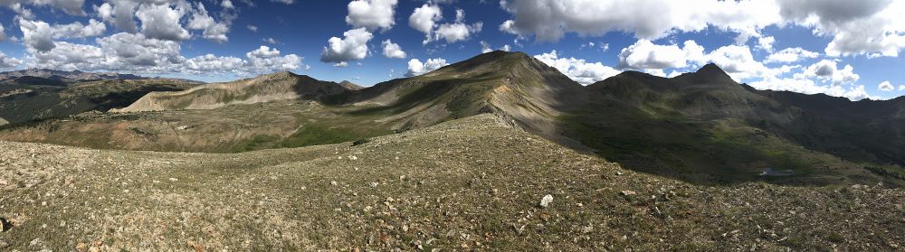
| Panorama Click for a larger size |
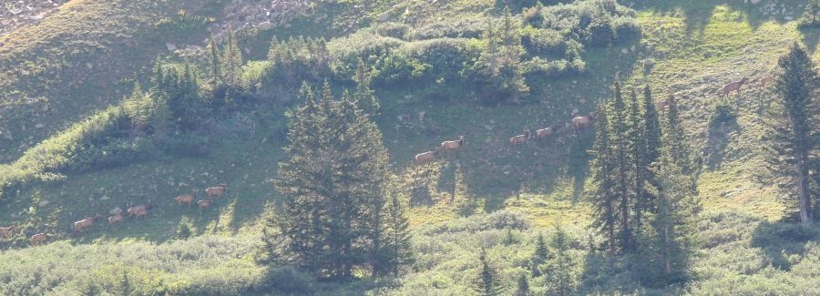
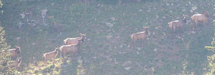
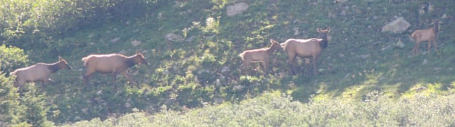
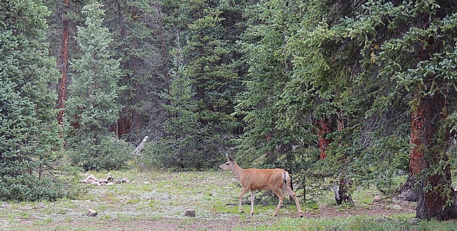
| Elk on the mountainside across the valley |

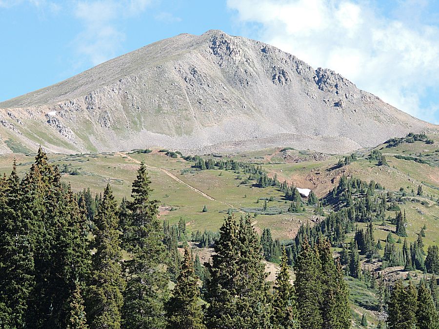
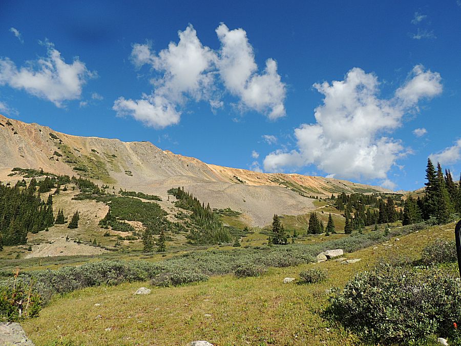
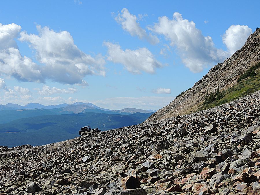
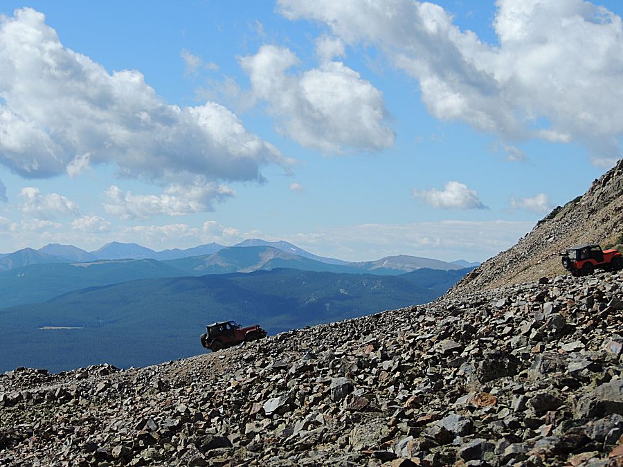
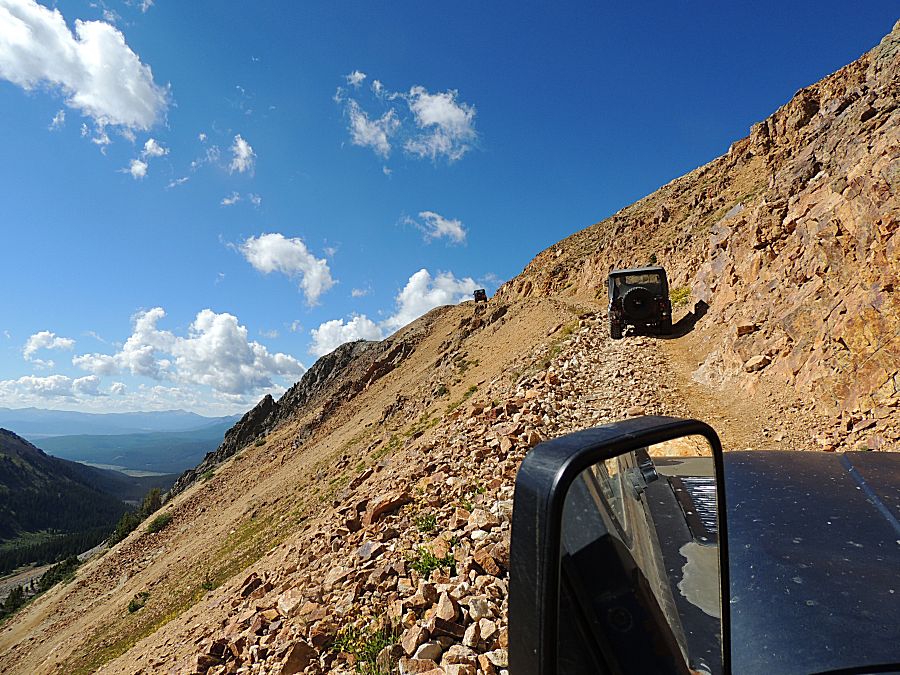
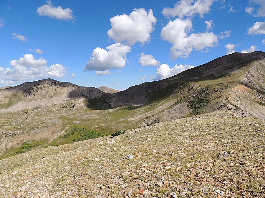
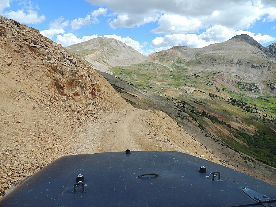
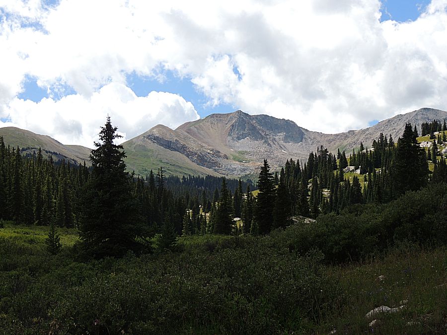
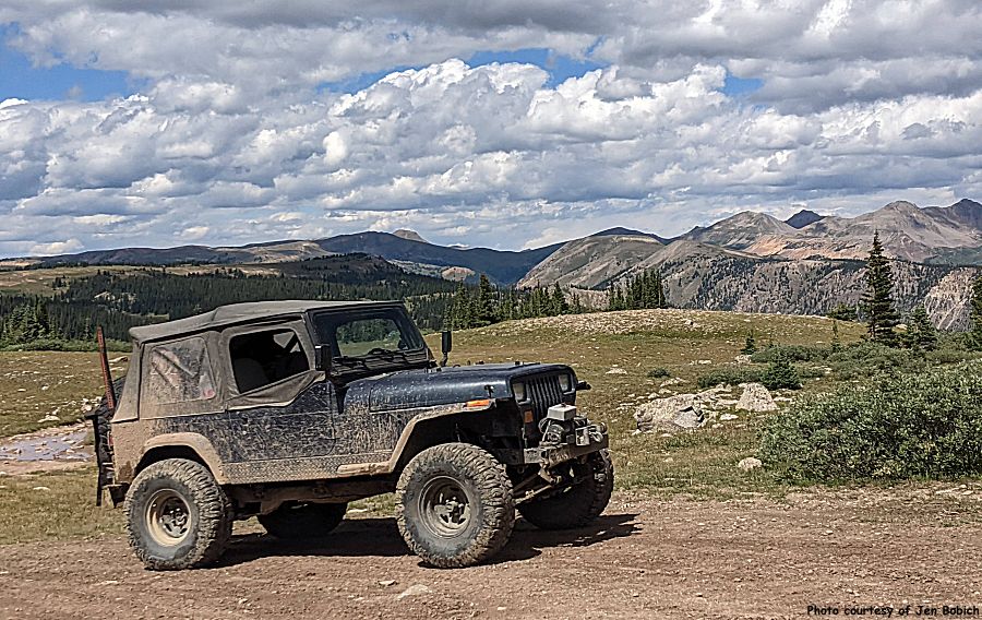
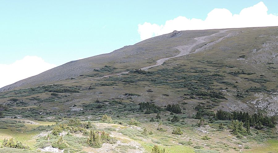
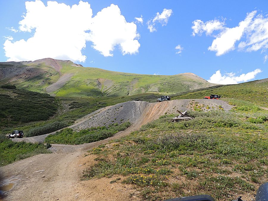
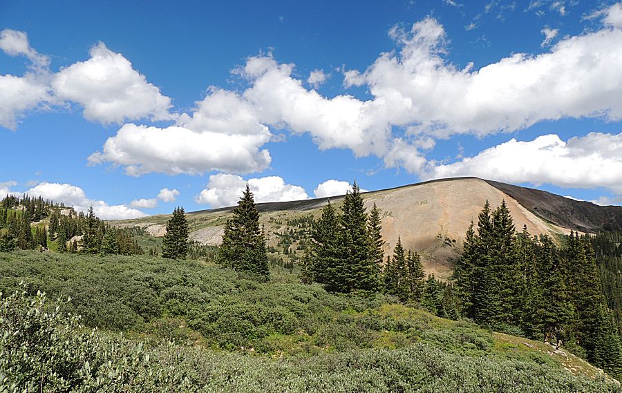
| We're heading up atop this ridge, Notice the zig trail just below the ridge at the left. |
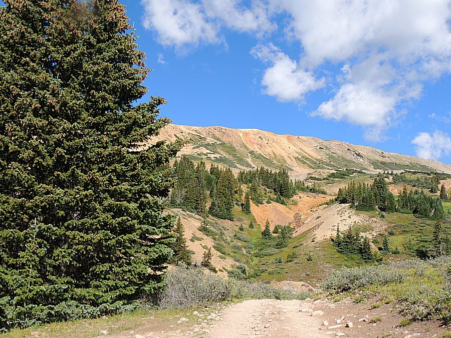
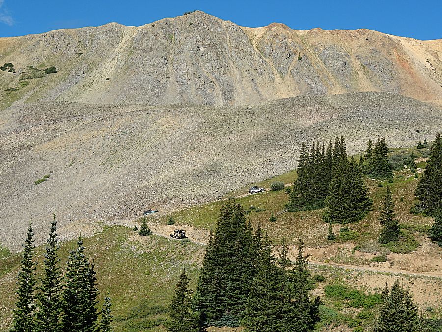
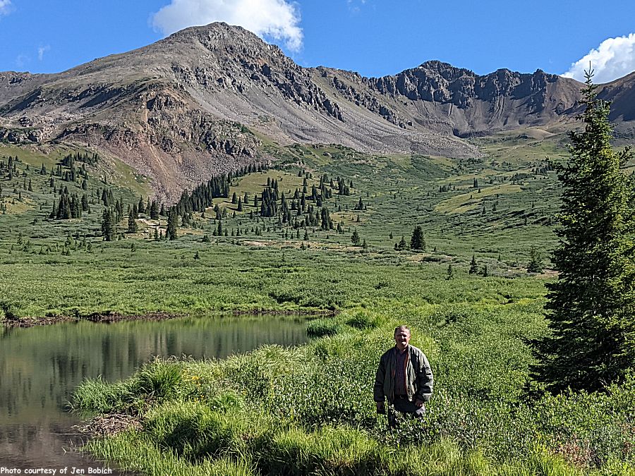
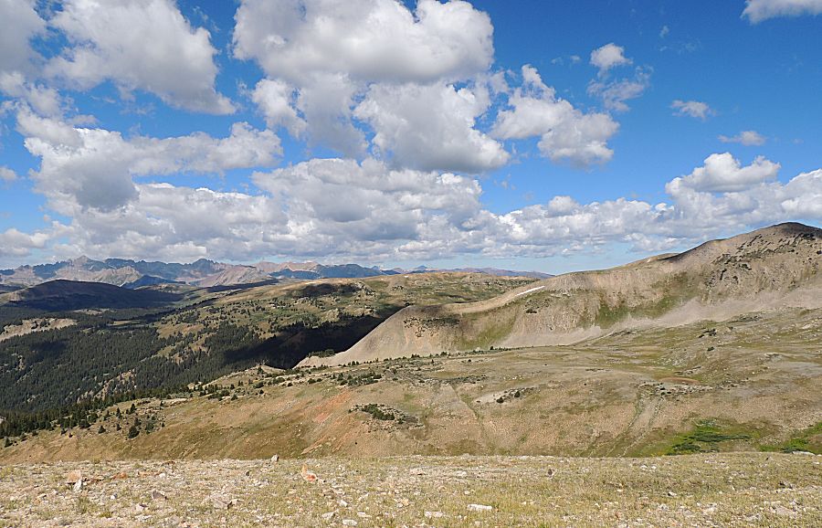
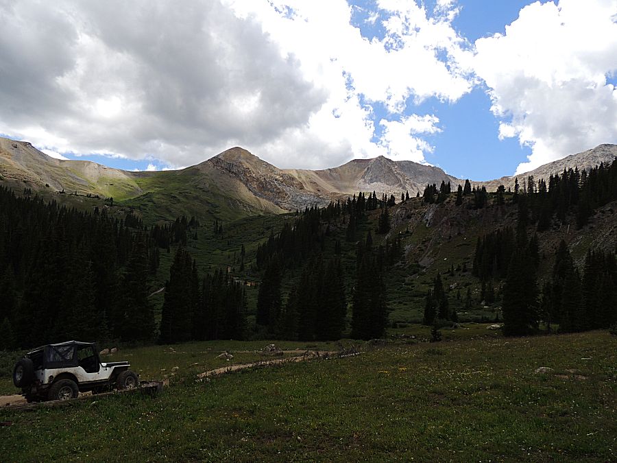
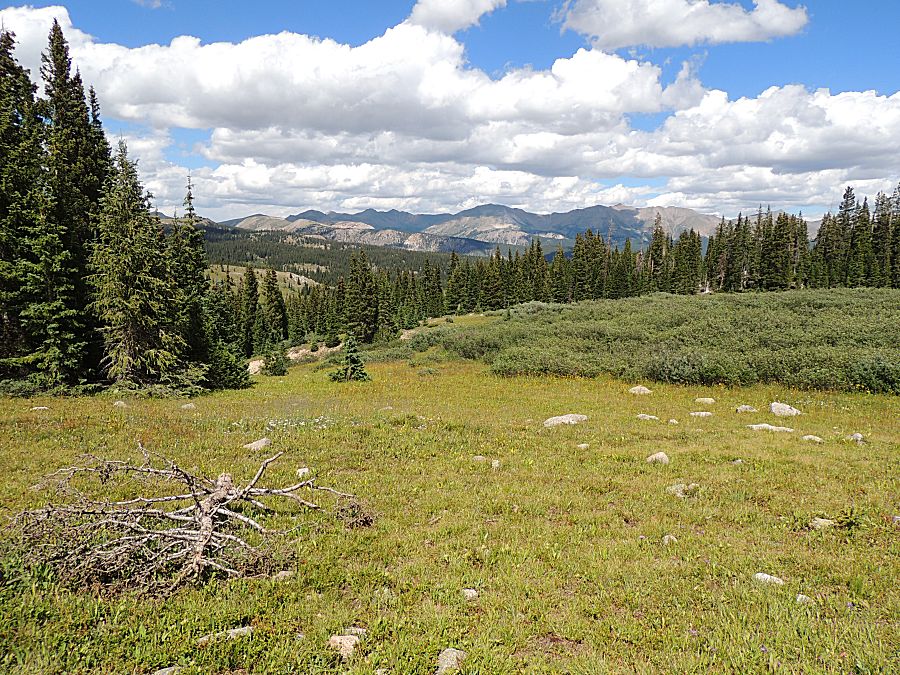
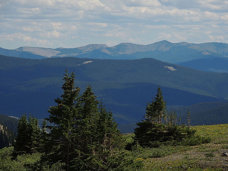
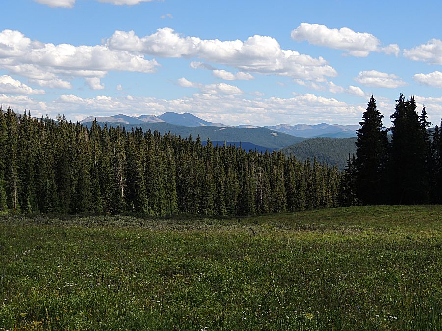
| That's a wonderful view (much nicer than the stuck-in-traffic view at the end of the trip). |
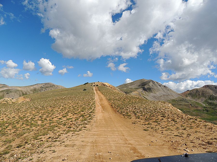
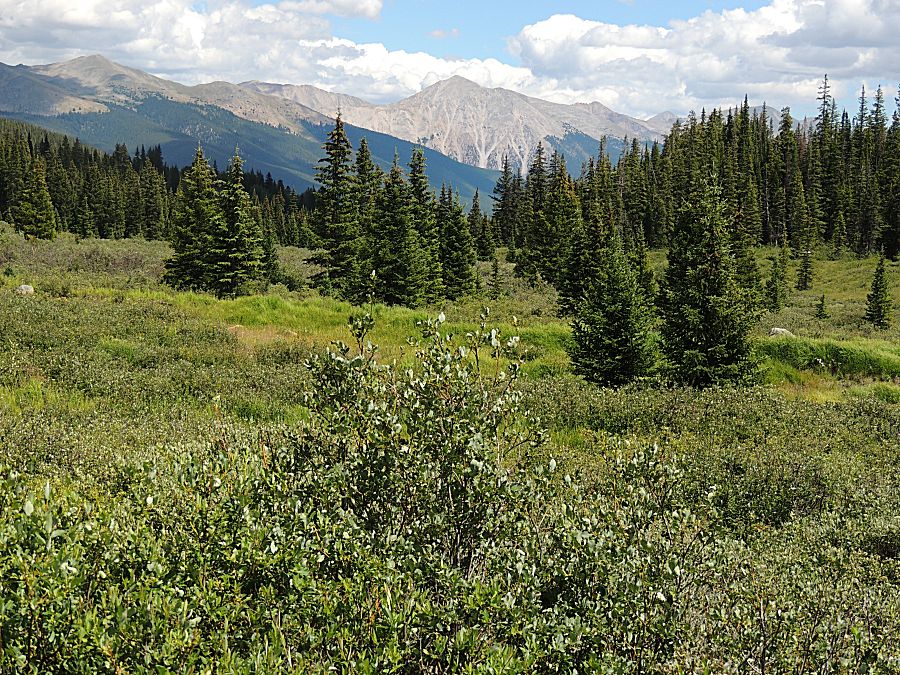
| Up high and climbing... Maryland |
| Montana |
| Florida |
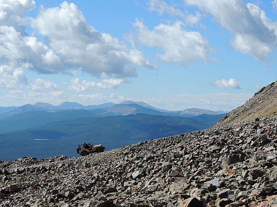
| Wyoming |
| Illinois |
| America! |
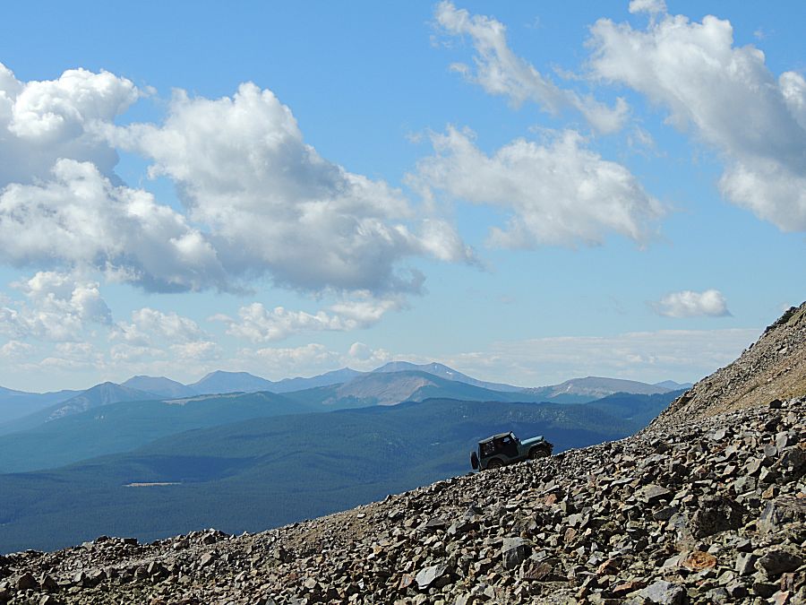
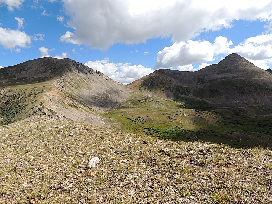
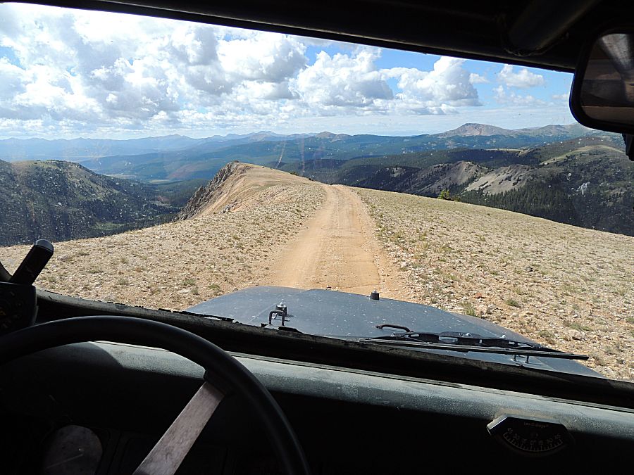
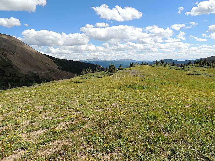
| Riding on top of the mountain. |
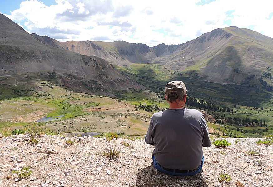
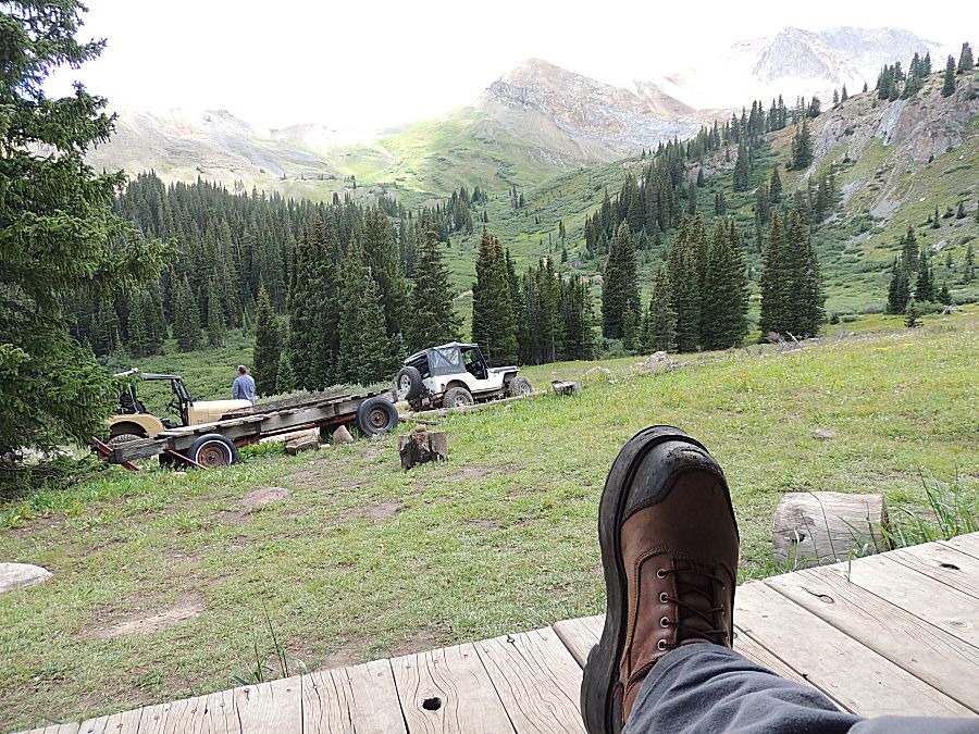
| That's the ticket - soak it up. |

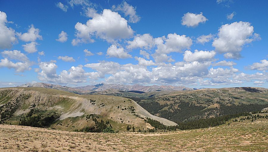
| Panorama Click for a larger size |
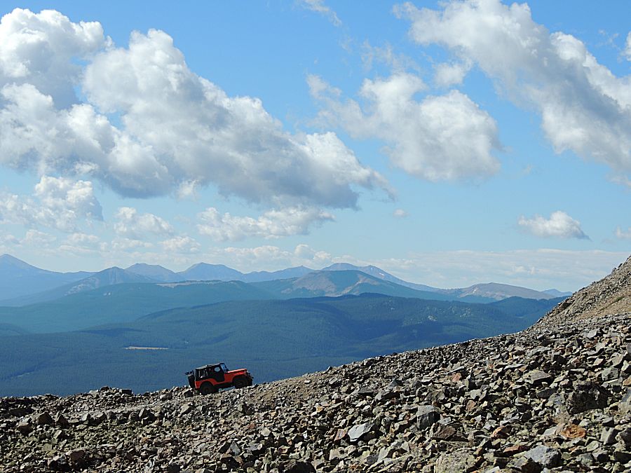
| Up top on the spine (or is it ridge?). |
| Panorama Click for a larger size |
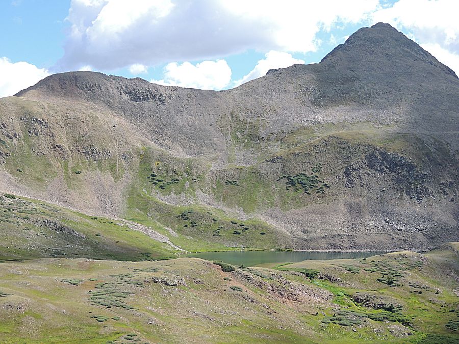
| Tellurium Lake |
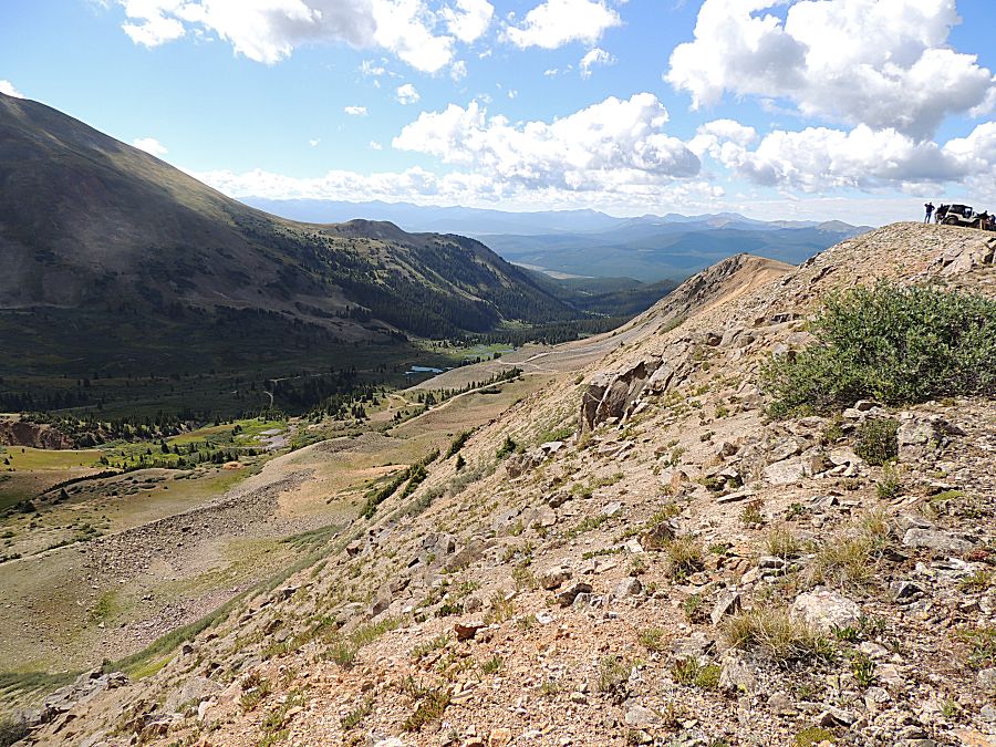
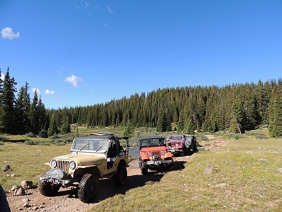
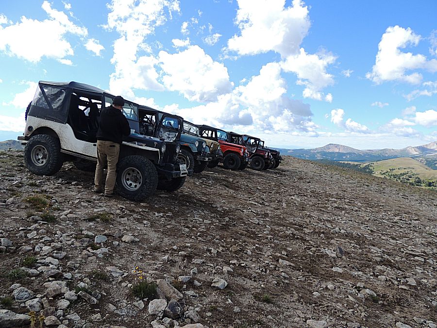
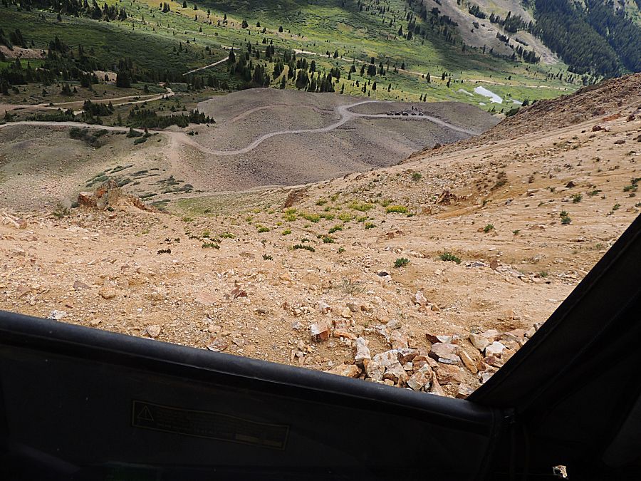
| Six jeeps staring at death Up top. We're parked in the lineup. This is a downslope with nothing to stop a rolling jeep. Old Jeep parking brakes are not confidence builders. Montana has no parking brake. I believe I saw wheel chocks in use. Why not seven Jeeps? The other Colorado jeep was having back pain and didn't join this morning trail. In the end, he'll head home early on smooth roads. |
| Ahhh... |
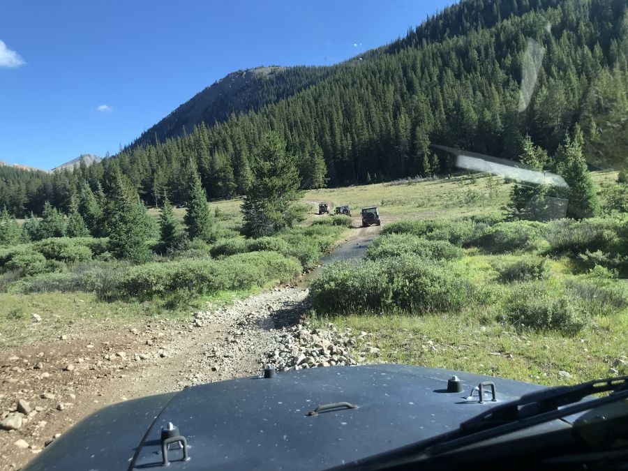
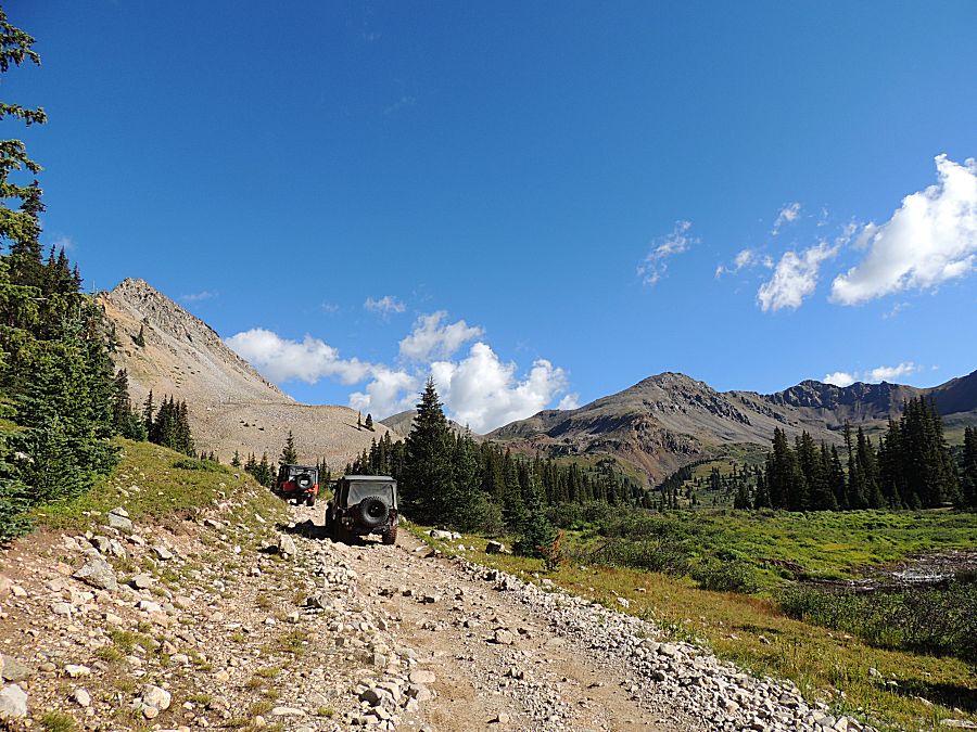
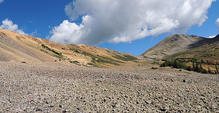
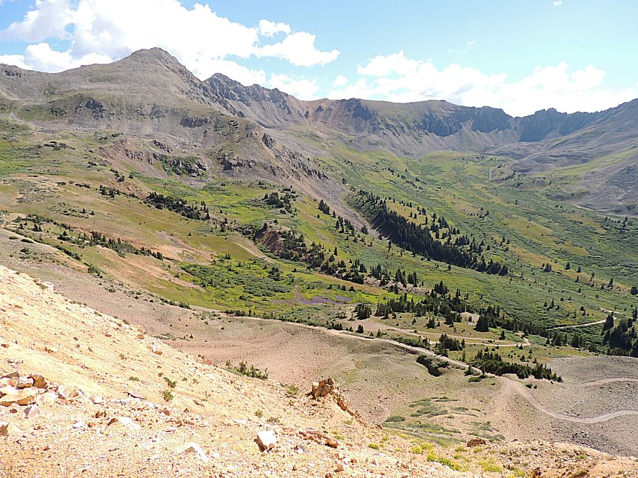
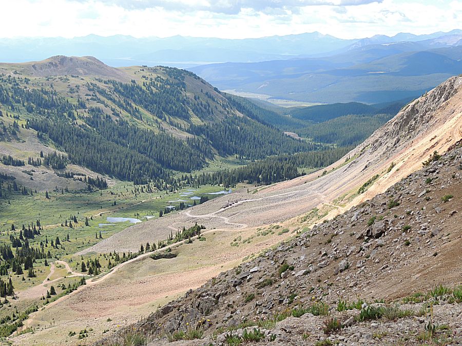
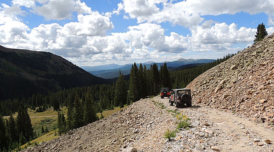
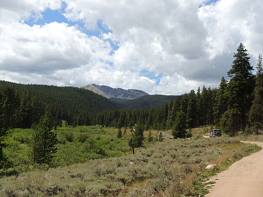
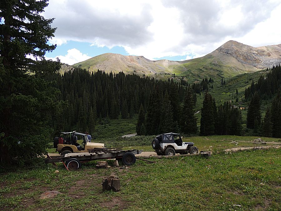
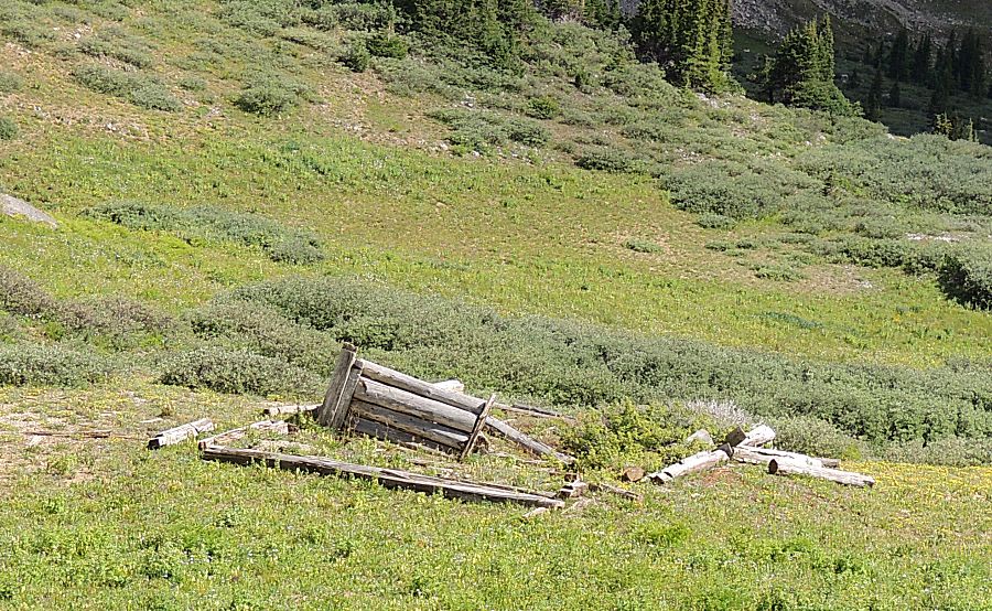
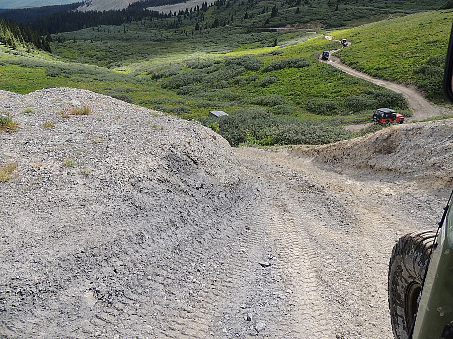
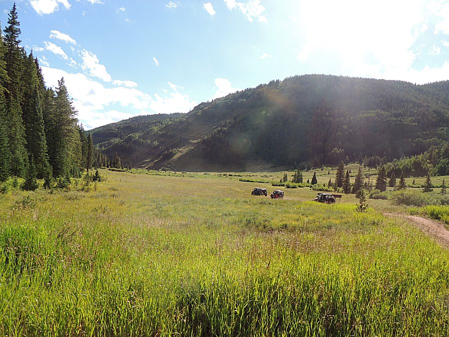
| Five vehicles on the trail. I think Camp 3 is in the valley, in the lighter green grass area to the left. |
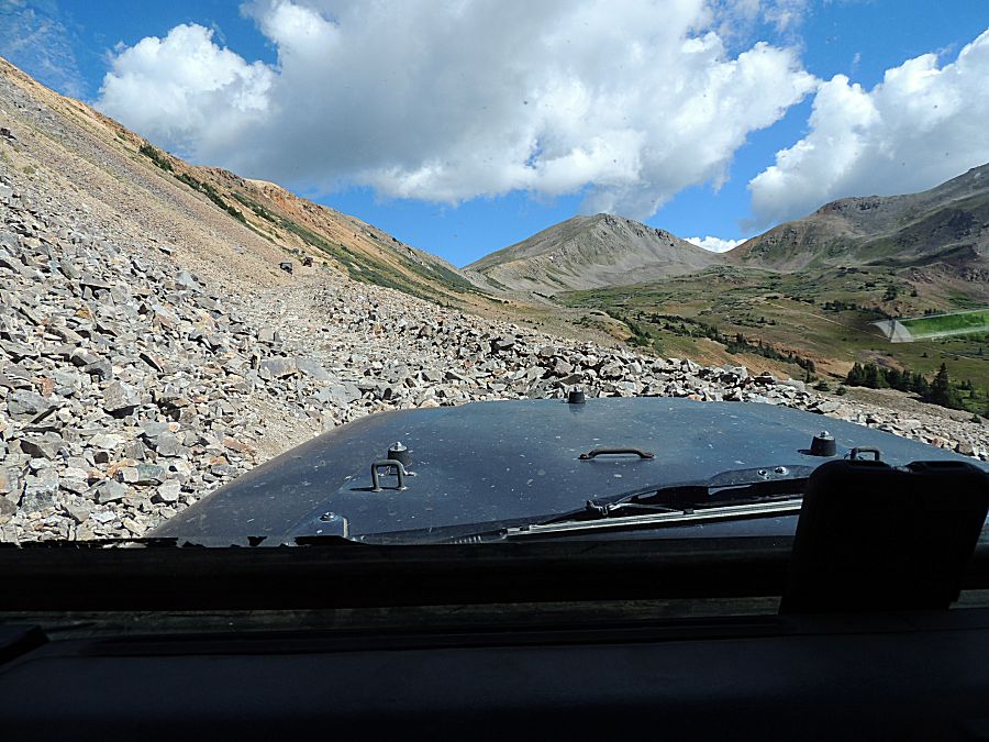
| Heading down - we have a fair bit of trail yet today. |

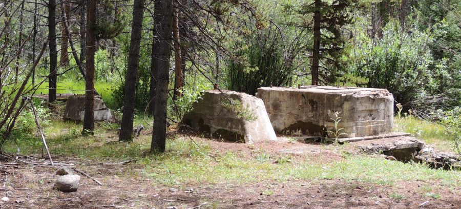
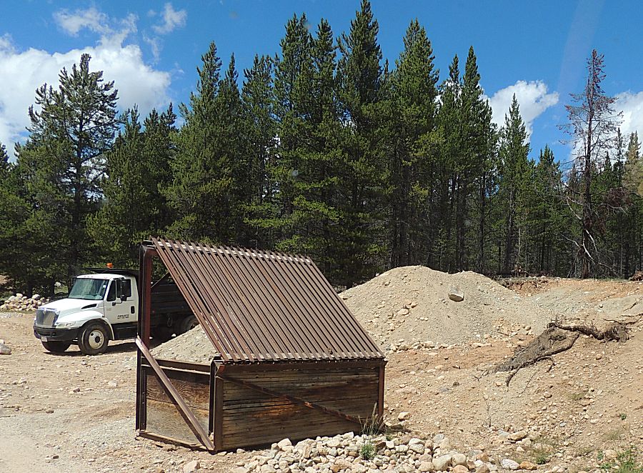
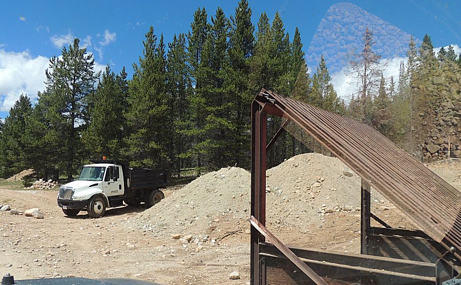
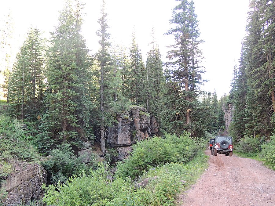
| Near the end of the trail - curious concrete footings. |
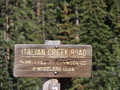
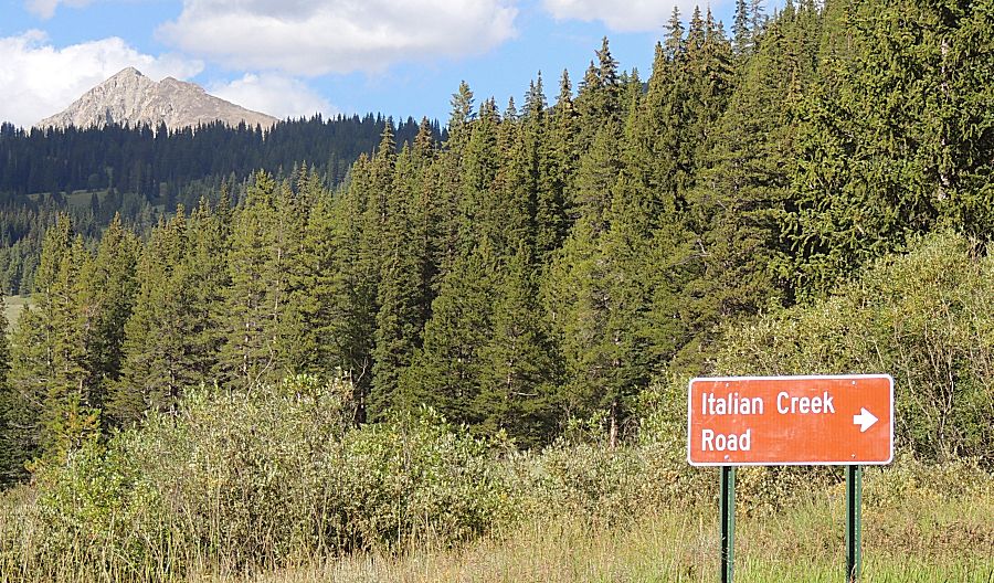
| Heading up the Italian Creek trail |
| Beavers at work |
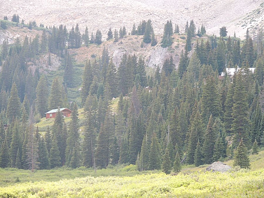
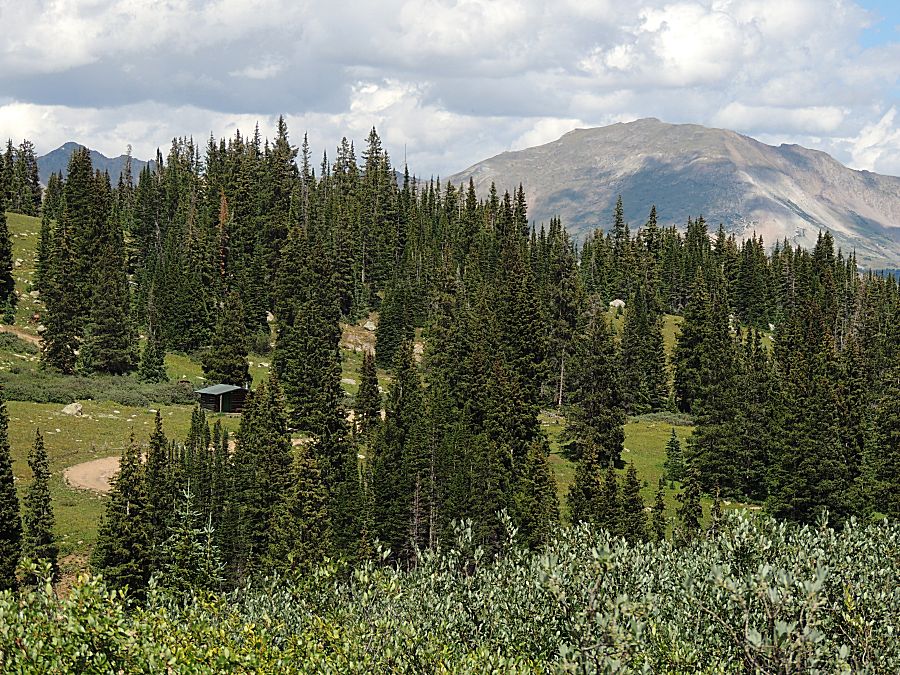
| Houses tucked in with the trees. |
| Mine property |
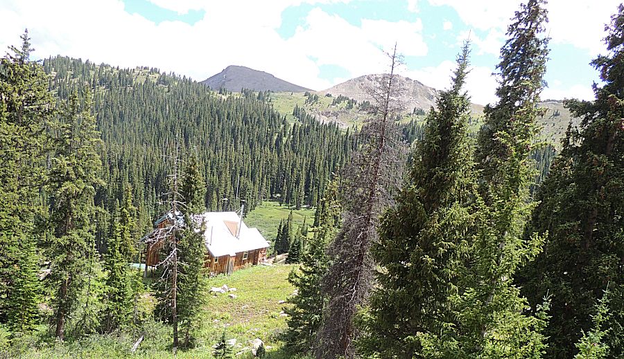
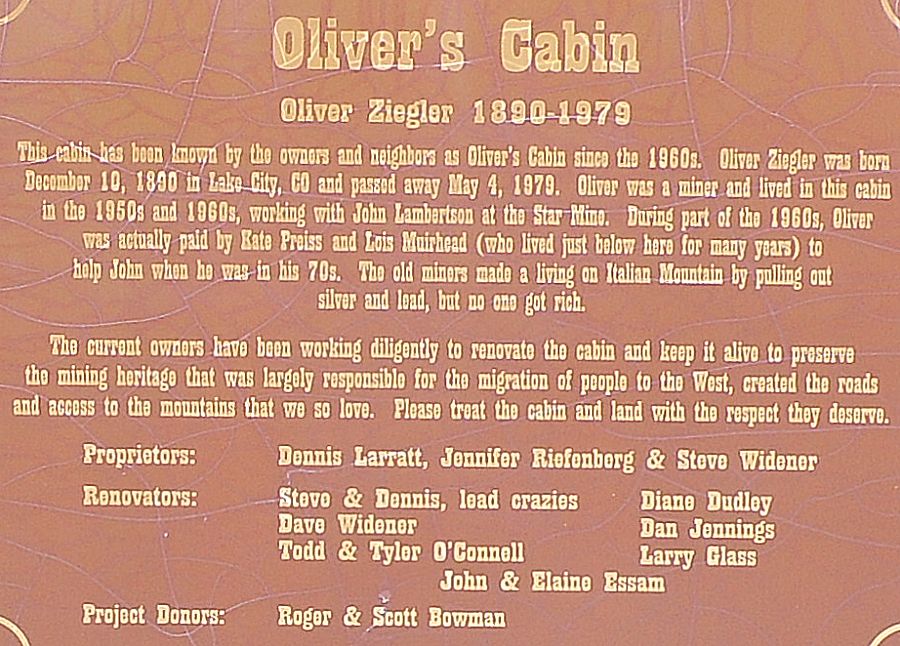
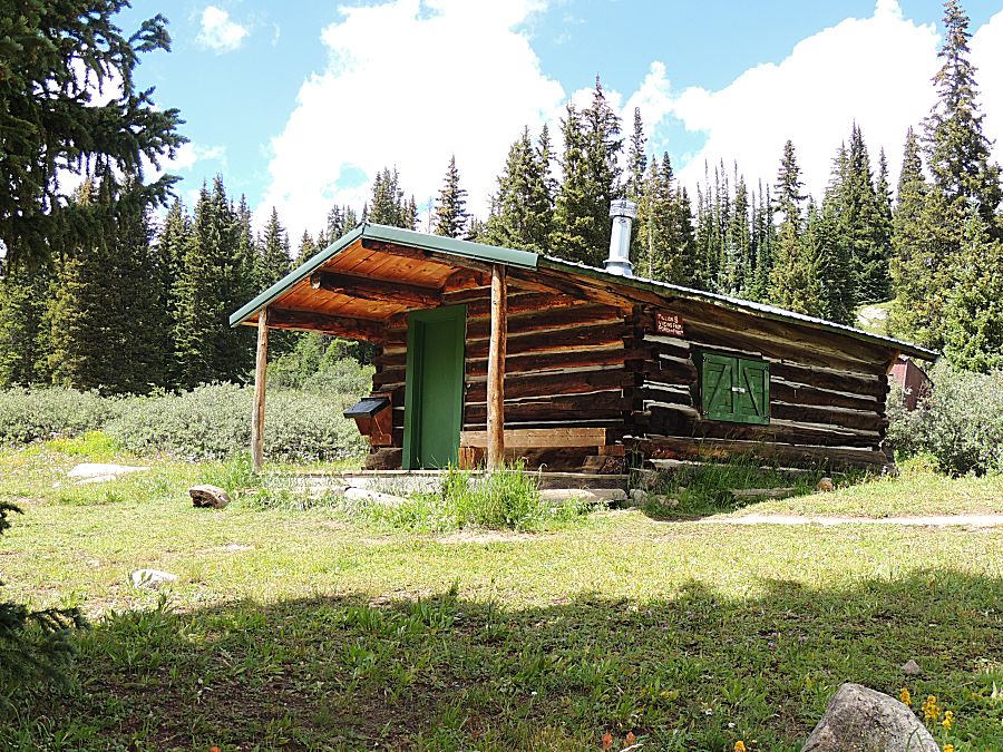
| Oliver's Cabin |
| Million Dollar View |
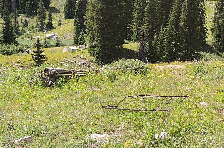
| A common-ish mining era refuse item - bedspring. |
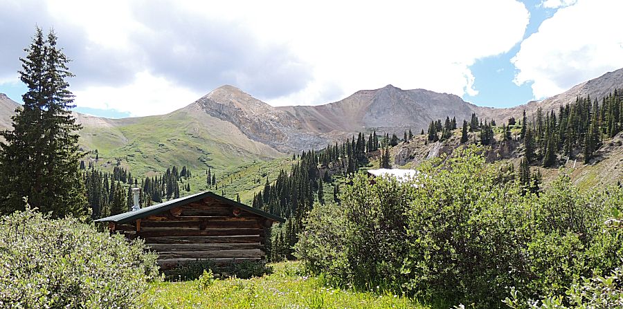
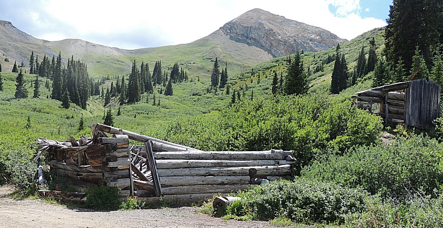
| Old mine (collapsed area on the right) with old buildings. |
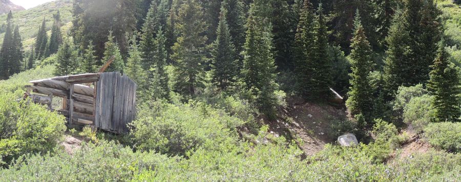
| Looking back at Oliver's Cabin |
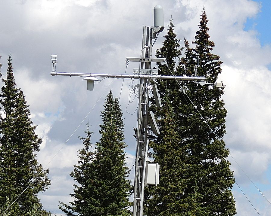
| A weather station - unexpected to come across |
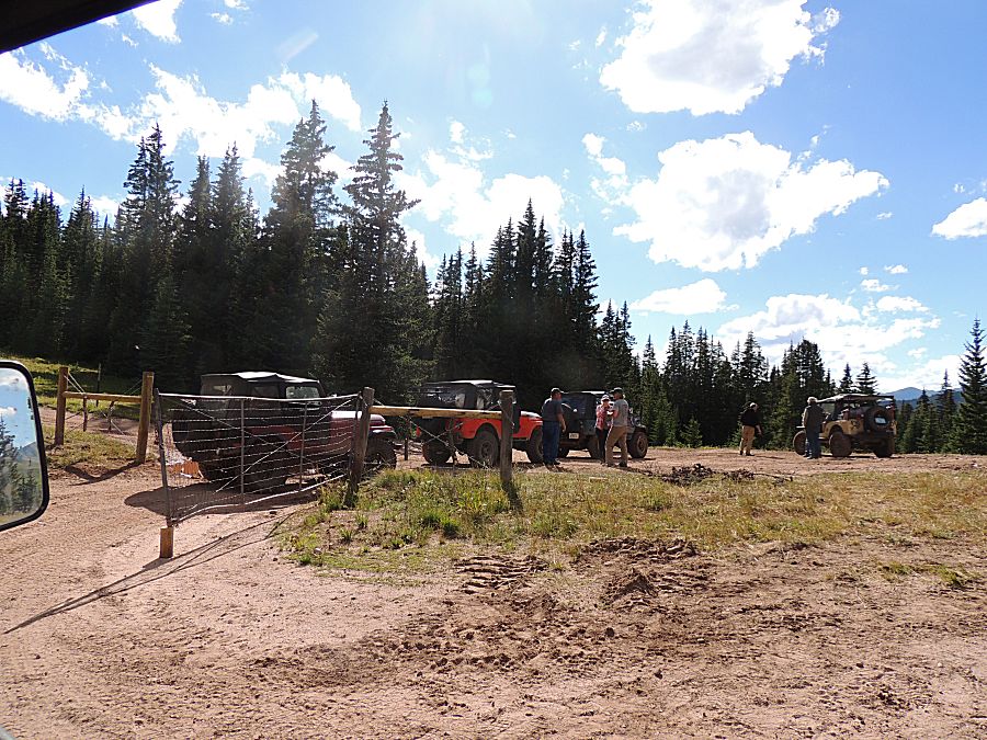
| We
came across a group of side-by-sides asking if any of us jeepers had a
jumper cable. We have several and all of us said - but how long would
it take to dig them out. I was first to dig mine out. It seems the SxS
is on its second battery. This tells me - it's not the battery but
rather the charging system. The gent was asking - can I buy your cables
- can I borrow them I'll make sure they get back to you. The cables
were their guarantee they'd get back to camp without towing the
SxS. If the battery didn't keep the SxS running they could jump off of another vehicle. I told him I was from Fort Collins and he looked over at (his son?) and said - will you be there Sunday? Yep. Easy - the cables came back to me on Monday. It seems the charge given here was enough to get the SxS back to camp. Later in the day, one of the guys in the jeep group said - the way to handle that would be to swap batteries between a good vehicle and the problem vehicle. This way, the problem vehicle would have a fully charged battery (vs a marginally jump-charged battery). The "good" / donor vehicle would need to be jump started but once started would charge the flat battery. |

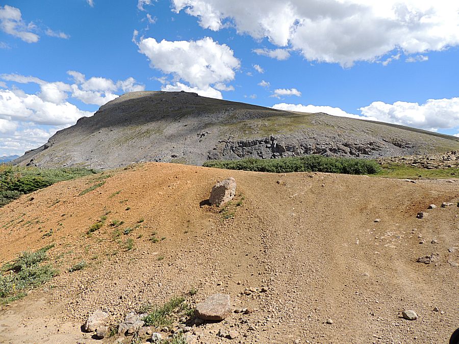
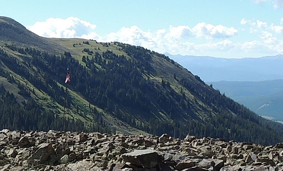
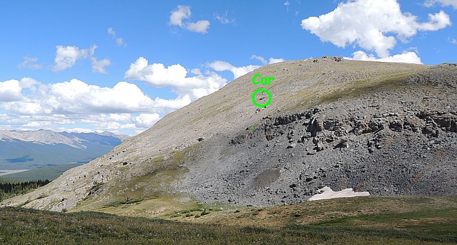
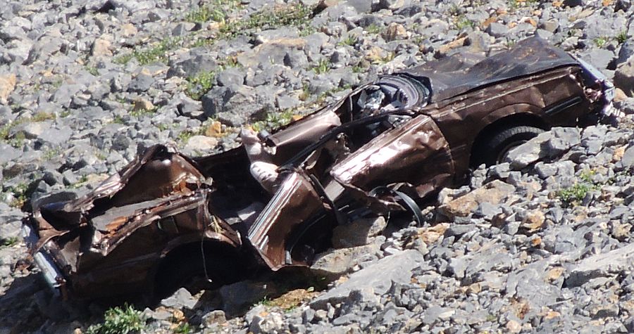
| American Flag Mountain - and a car |
| Some old structure on the pass. |
| A wonderful cover of trees. |
| A mine site |
| Collapsed / closed to explorers |
| 22 Degree downslope |
| We
passed an intersection for Upper Reno Divide. We'll stay on Italian
Creek (the low, in-the-trees with mud bogs route) as Upper Reno Divide
is the high on the mountainside narrow & tippy cautious route. A
few of us have a curiosity to see what Upper Reno is like... |
| I
was running last and a side trail caught my eye. I marked this as a
possible camp site - a bit heavy on the trees though (bad for solar and
Starlink). |
| ooh - smooth trail - nice |
| A
mountain intersection. The trail to the left is where we just came
from. The far left (off picture) is the optional high-tippy-cautious
trail called Upper Reno Divide. To the right is a foot trail. |
| Turning about - we'll drive straight and down for Italian Creek. To the left is a trail called Flag Divide |
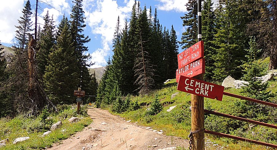
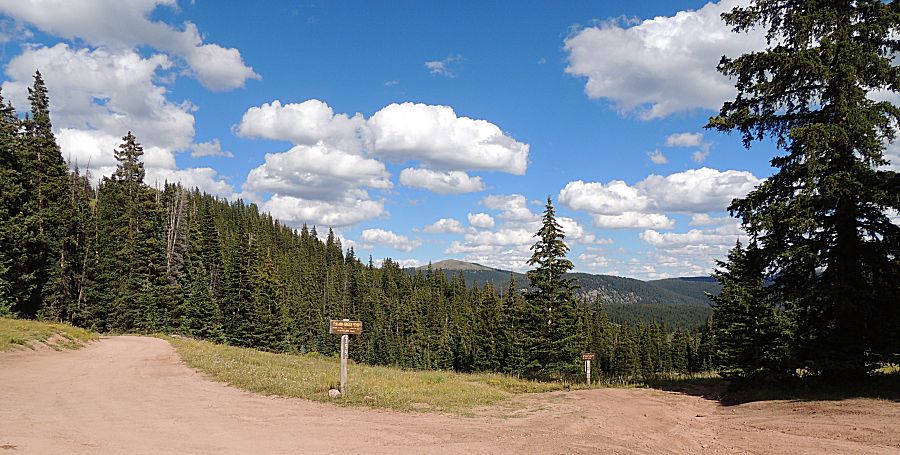
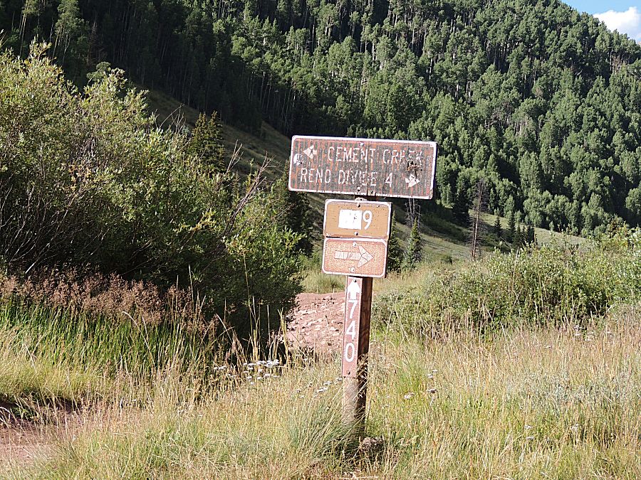
| Intersection - end of Italian Creek, jumping onto Cement Creek. |
| 2-HI time. End of trails for several in the group. |

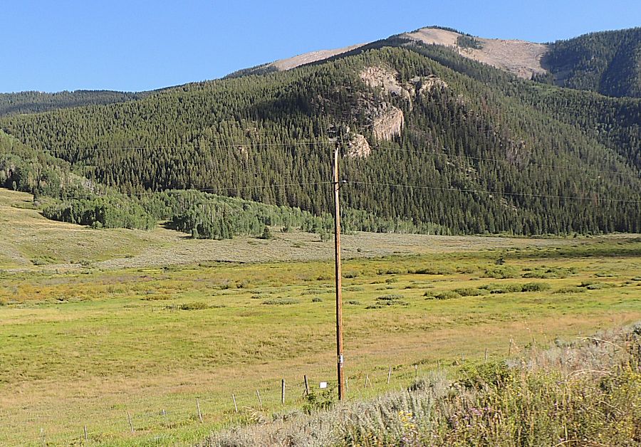
| A novelty. Being lost in the mountains for three days this power / telephone pole stood out as different. |