Roosevelt N.F. deadfall clearing #2
|
With good weather remaining, I wished to return to give more attention to Forest Service Road
200. There are many deadfall trees extending onto the
road. Many are on the ground with a fair number in the air at radiator
and windshield (eye) height. While good work was tended, some time was
spent (wasted?) clearing trees on an un-listed trail. This first map
shows a yellow circle where I spent much of the day and a red circle
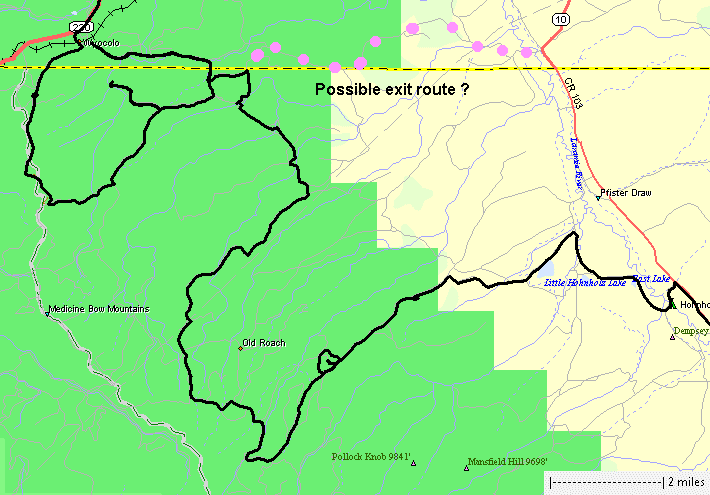
where more time could be spent. Once I was done tending trees I decided to explore the trails to the north. I hoped to exit the forest to the east, right along the state line. Sadly, there were closed gates. All in all - it was a nice day out in the forest. Temperatures, on a full sun / cloudless day, were just right for working. My right wrist let me know it wasn't happy and I'm unsure if it was due to the good number of getting in/out of the jeep (lifting myself) or from some chainsaw / tree log work. The next morning my lower back let me know I lifted some logs - good to give the body some work. |

| This area of the Roosevelt National forest is somewhat new to me. There are a fair
bit of trails (roads, I use both terms) with some being dead-end trails and other connecting
trails. I know of one entrance/exit at the east side and two at the
west side along with one in the northwest corner. There are several
trails in the north and northeast area that look like they could
connect out to roads. Tree work complete, my goal this evening was to explore more of the
interconnected trails to the northeast and see if I could "get out" to
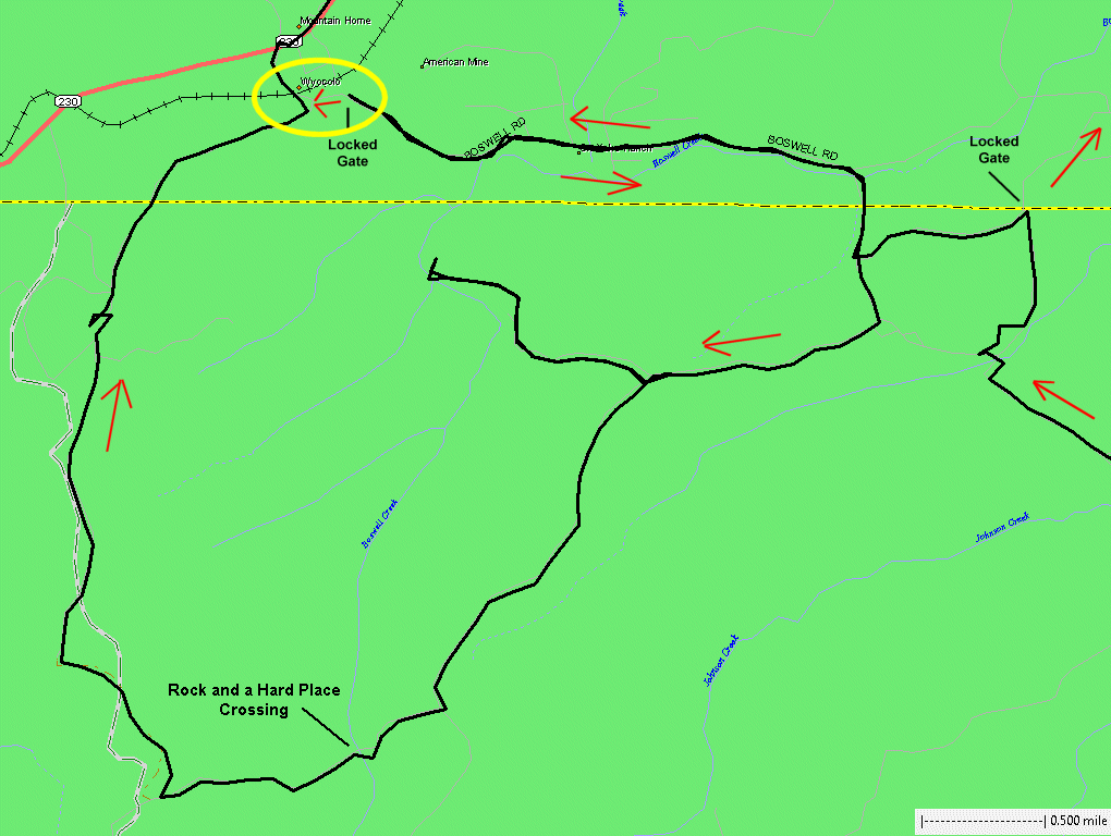
a road. I was blocked in the first two attempts with closed gates. In this map, I came in at the right / east edge and hoped to exit to the northeast - but was blocked by a closed gate with "keep out" signs. Having a map, I looked to the next closest option - a bit to my west - but was met with another closed gate with a chain and what looked like two padlocks. It was oh-so-close to where I wanted to be (yellow circle). In hindsight, I should have walked to the gate and inspected the locks. Instead, I looked at the maps and made the next shortest route out - one that I believed would get me out as two weeks ago it was my "in". You can see how close the locked gate was to me being on the other side - on the same road - 1/4 mile vs. 13.6 miles of detour and an hour of time. At the point I came to the gate and turned back - it was dusk and I knew I'd be completing the trail after dark. I'd need to cross the creek at my "Rock and a Hard Place" crossing - but this time I knew which crossing to take. Between the first and second locked gate I came across a fox standing in the middle of the road. I kept moving, getting closer to it, and it kept looking at me - longer than I thought it would. Finally it moved off of the road but kept an eye on me as I passed. A treat to see some wildlife. |
|
Stops_1.GIF |
|
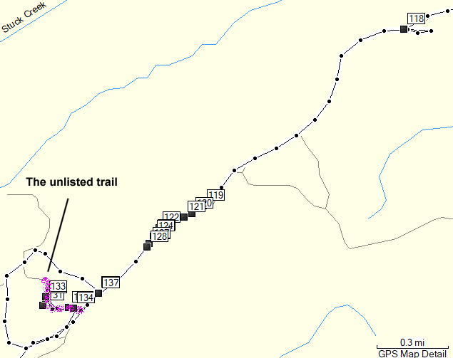
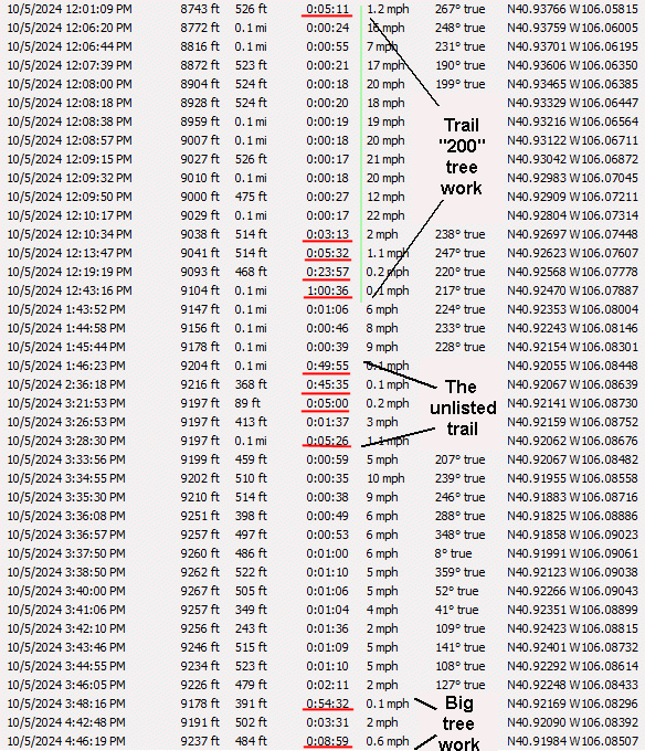
Waypoint 118, on the map above, is the first trackpoint in this list. The first deadfall work for trail 200. |
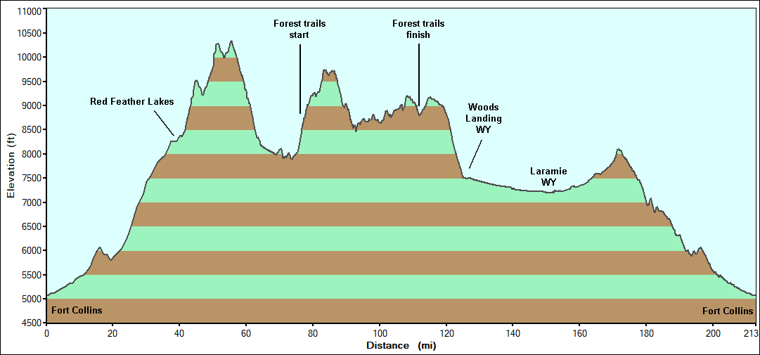
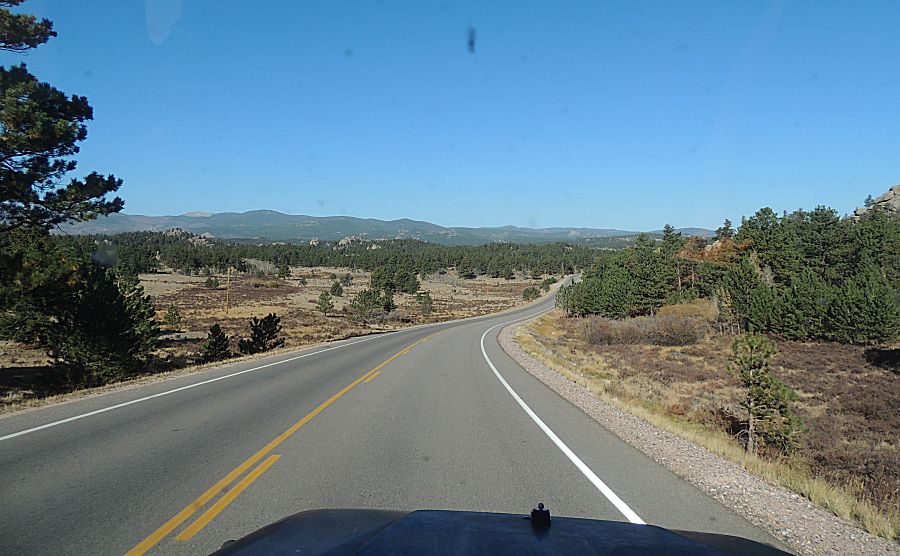
| Nearing Red Feather Lakes - last of the asphalt for the sunlight portion of the day. |
| On
Deadman road west of Red Feather Lakes. I believe, at the top of the tallest peak in this picture, is the Deadman Fire Lookout Tower. Summertime weekends it's staffed with volunteers so folks can walk to the top and enjoy big views. |
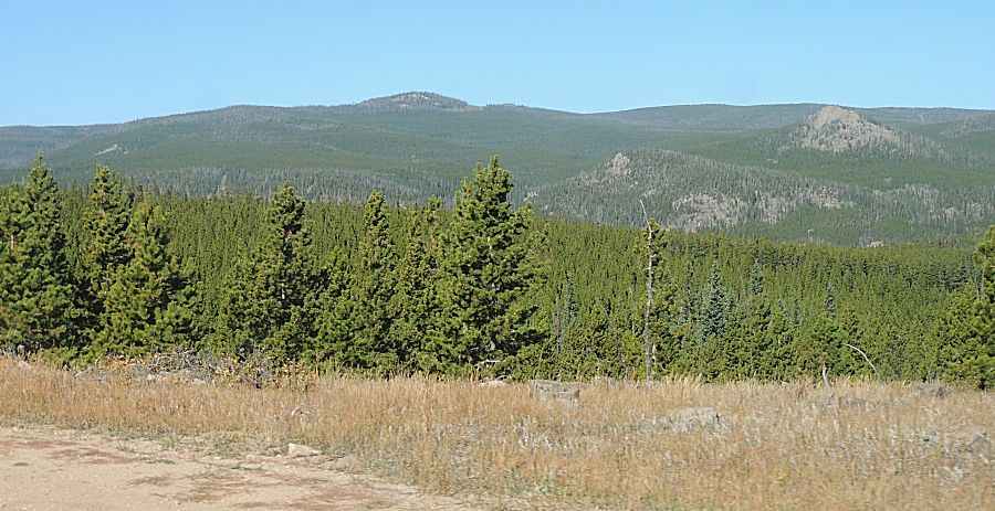
| On
the way to the start of the forest trails I was going to pass the
trailhead for a short, dead-end trail. I decided to jump in and see what it might
offer. About 50 feet onto the trail it makes a sharp right turn and
dips down to cross a creek (Lone Tree Creek). Immediately after the
creek is a large tree across the trail. |
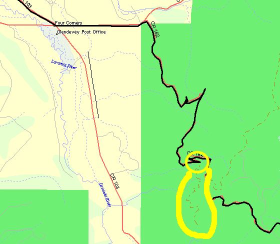
| It still has green needles - not too old - this season perhaps? |
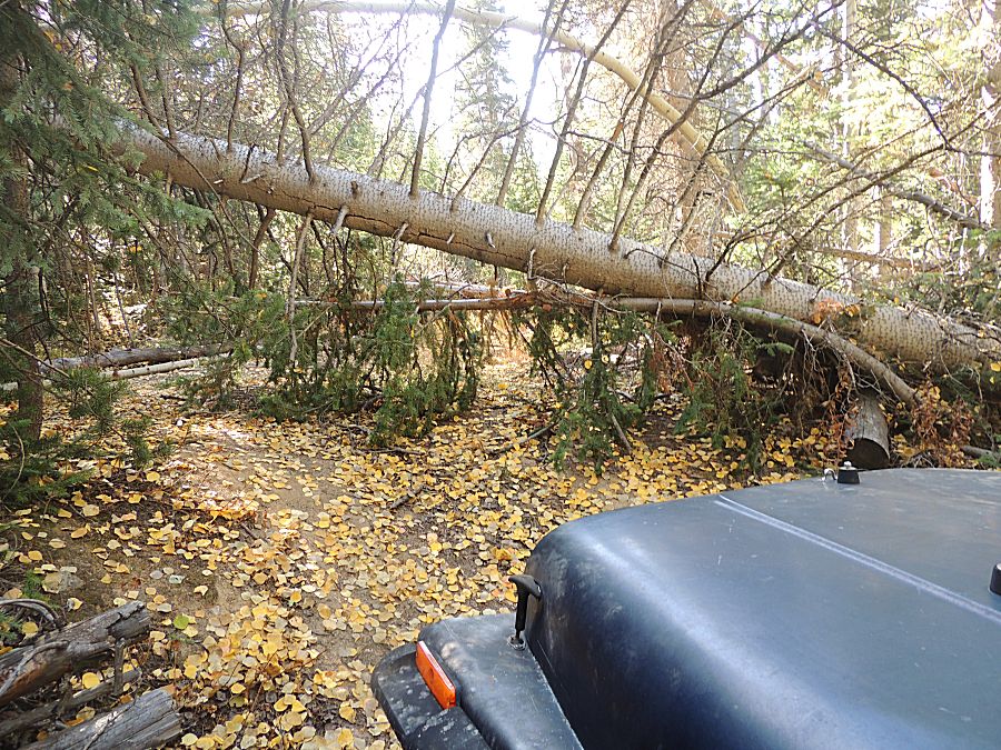
| Just
behond the initial tree is a mess of additional trees. Not seeing any
green on them, they might have been here for several years. |
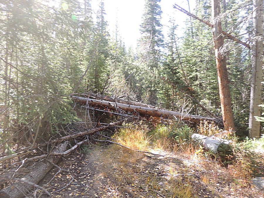
| Turning
around at the second set of trees looking back at the first tree - the
jeep, sitting low in the creek, barely visible at the left edge of the
tree. The debate - do I spend my day here clearing this set of trees - with an unknown set just beyond - for a little-used dead end trail or do I stick with the plan to clear deadfall from the more used FSR 200 trail. While this location would be an enjoyable spot to work, the more well used trail would be best. |
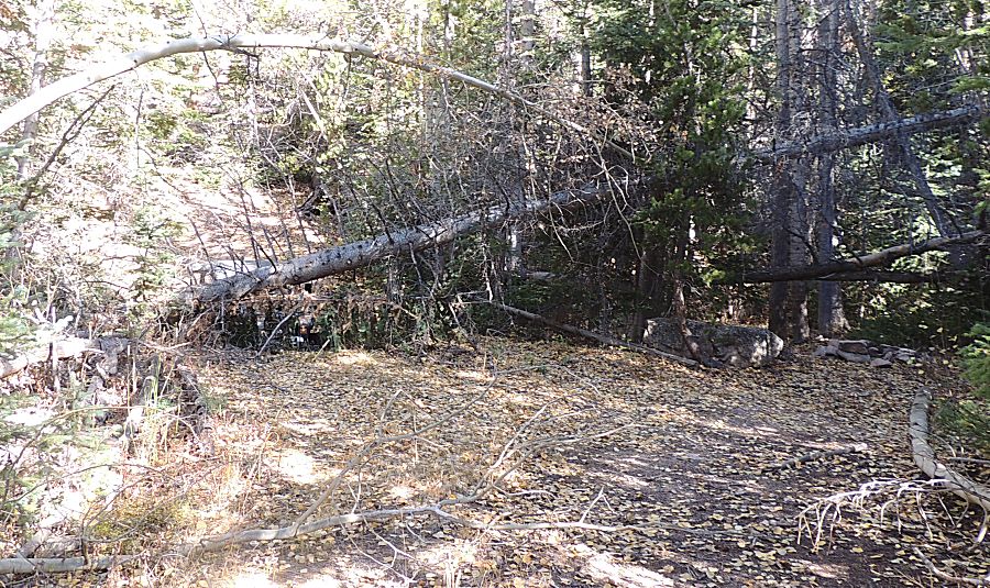
| Lone Tree Creek At this late season it's about eight inches wide - but it was still flowing. This small bit was making a nice sound - "I'm here!". Aspen leaves floating atop the water. |
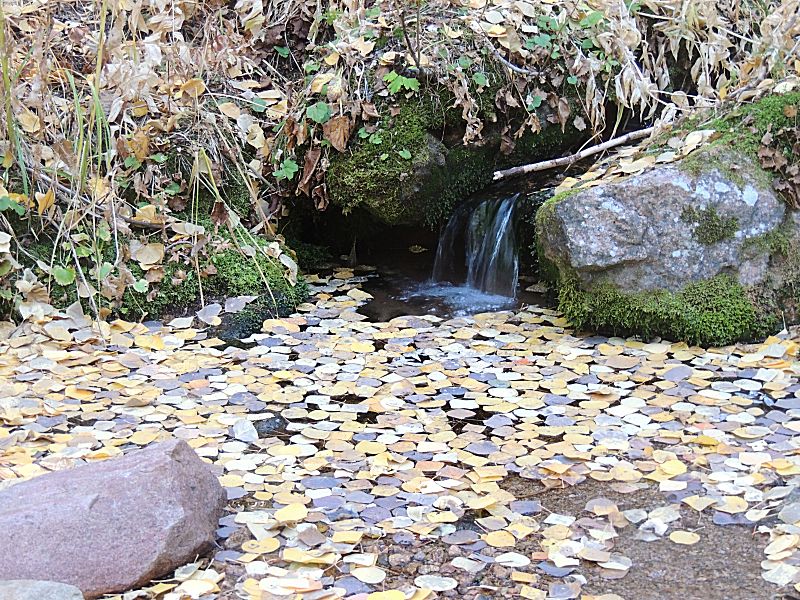
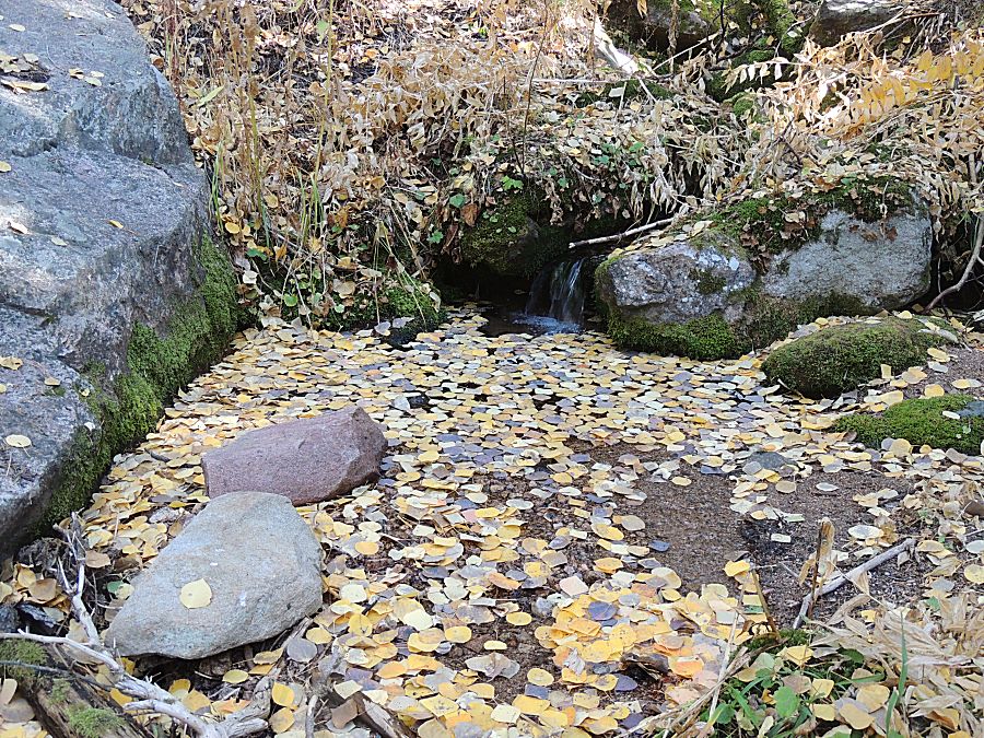
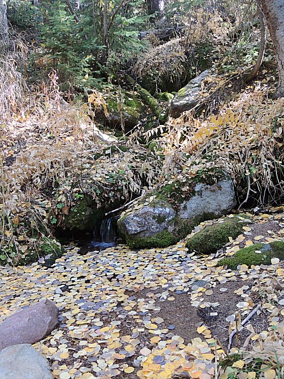
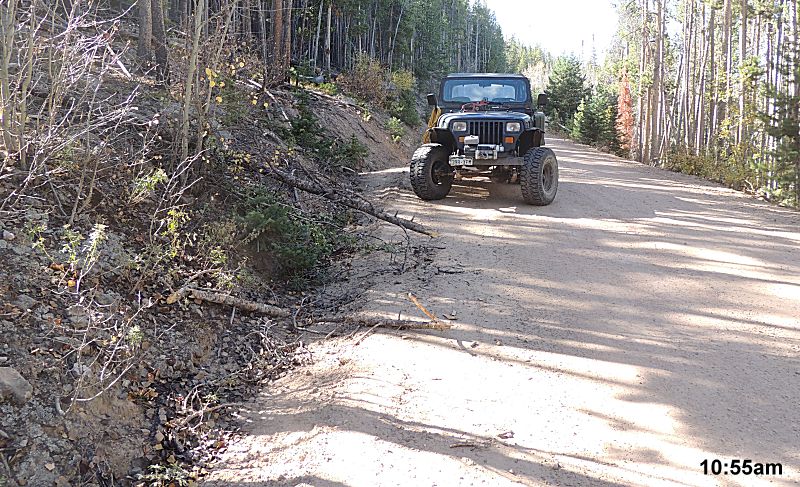
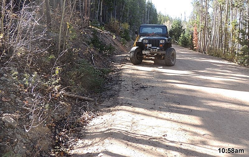
| Out from the dead end trail I'm back on the road... I planned to have before / after pictures of each deadfall clearing. This ended up being the ONLY before / after photo set. Perhaps next time I'll force myself to take the pictues. Larimer County Road 162 / Deadman Road |
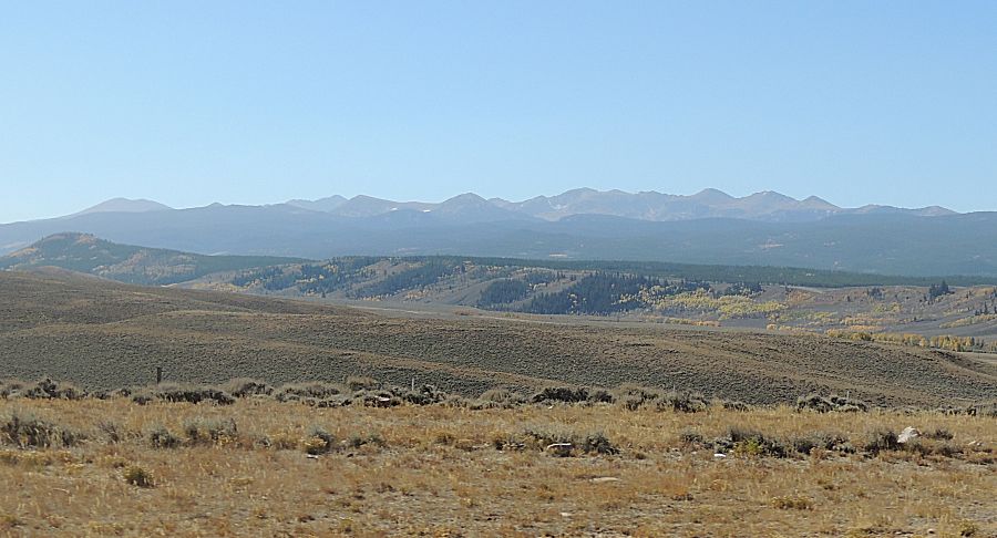
| Looking Southwest - Rawah Peaks (and others) |
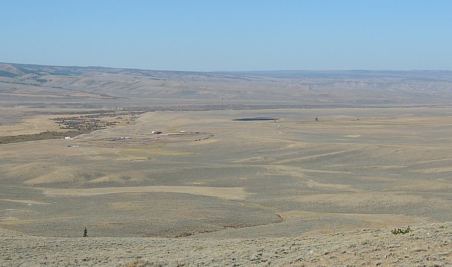
| Looking Northewest over the Laramie River
Valley I'll spend the day in the green trees, up at the horizon, from the center of this photo to the right edge of the photo. |
| Whitecaps on the Little Hohnholz Lake It's a breezy day. Temperatures are good during the daytime. I did bring two coats and a sleeping bag (along with two gallons of water and some food). Mostly a just-in-case I need to spend the night in the jeep. Morning temps are probably 30's (F). |
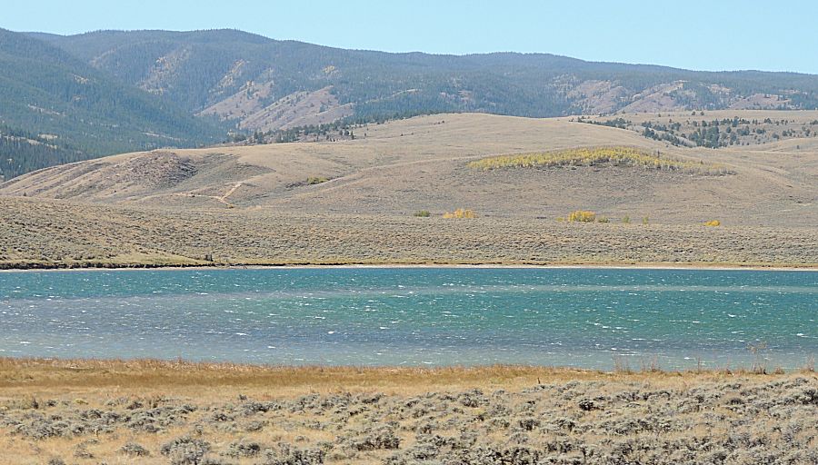
| We're now on the west side of the Laramie
River Valley, on the trail in the forest but not yet fully into the
thick pine trees, looking easterly over the valley from one of the
campsites. This is a popular camping area. I could see camping here when warmer weather returns. |
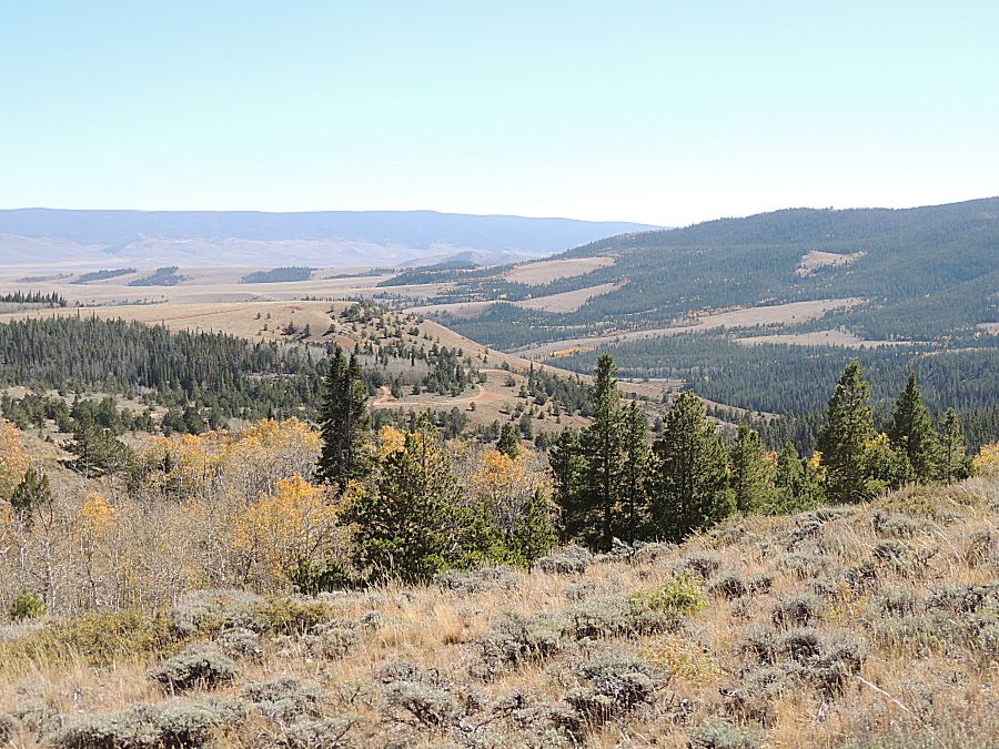
| Along trail 200 I
worked the areas listed in yellow and pink. The pink area is what I
thought was the "first entrance" to trail 200C (making 200c a
counter-clockwise loop). Once I left the pink area, where I was blocked
by a large deadfall set, I had a thought to enter at the other end of
the 200C loop and see how far I could drive before I hit the large deadfall
set - but I never did come to the deadfall. On my clockwise loop of 200C, where it popped out at trail 200 I realized that what I thought was 200C earlier in the day (the pink line) was not the same trail. I realized I spent an hour+ clearing trees for a trail that was not a listed forest service trail. It does show as a trail on my old map software and the two do intersect. In the future, I probably won't spend any effort on the pink trail. I'll return, unlikely this season, for more work on "200". Anyway, the reason why I drove right past the "first" entrance to "200" is that it was blocked by a large tree. It was one large tree and a smaller tree alongside. With branches, it well hid the entrance to the trail (and I had a map that showed a nice blue dot as I was at the entrance - but I still didn't see it). |

| Before the start of the day I had the idea to
continue the before / after pictures - that quickly went out the window
and near zero photos of the stops happened. |

| This is on the unmarked "pink" trail (that at the time I thought was the marked trail). That deadfall
is low enough I can't drive under it. It's a nice, relaxing day working in the forest. I think I sat here for 20 minutes or more eating lunch and taking a break. When solo in remote areas, I often keep the engine running, but at this spot I decided not having the engine noise was worth the very small risk of it not starting. A good day out in nature. |

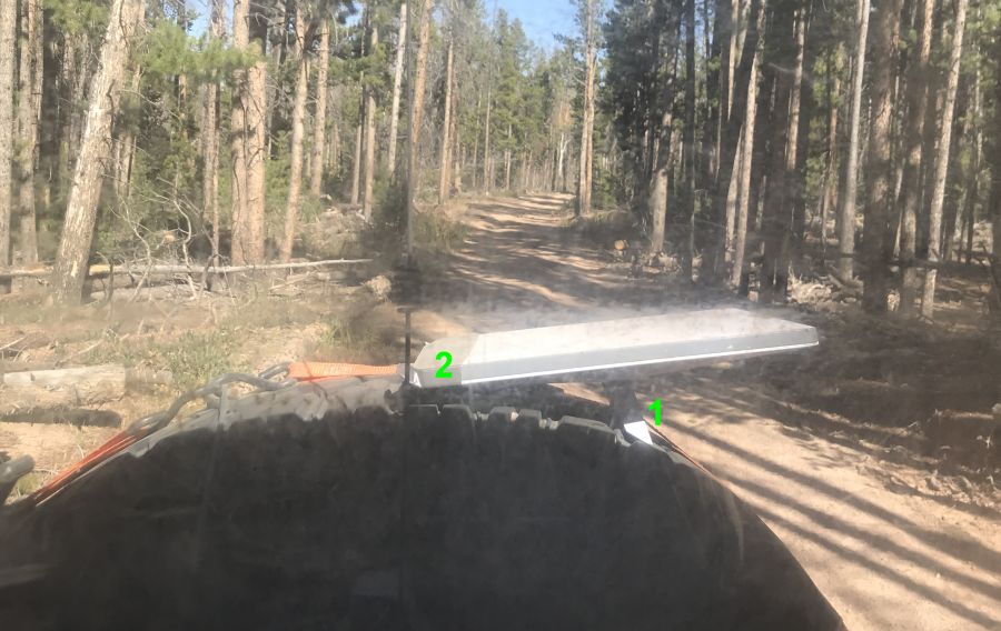
| The last time I was here (clearing deadfall a couple weeks prior) was the first use for
the Starlink "Mini" mounted for use while driving. It was mounted to the roll cage about a foot from
my head. Having such a transmitter that close to my head I had plans to
move it further away - but where? Positioned atop the spare tire was
tested today. Performance was quite acceptable and it did not cause
blockage out the back window. It might end up here, but with a stronger mount. I have a 1" wide ratchet strap around the spare tire that feeds through the kick-stand (#1) in the mini. That stand is on a pivot and the mini would rock back and forth. It's also one point of attachment (to the jeep). I added some duct tape (#2) wrapped under the strap and around the mini. It'll keep the mini from pivoting back and forth and give a second point of contact. The mini was added to the tire during the slow speed trails portion of the day (no cell coverage) and was stowed inside for the highway sections (typically with cell coverage). The Starlink Mini gives me full cell phone connectivity - phone calls, text messages, internet access. It allows me to work from the forest as well as give a nice security option. |
| A big jump to the last tree for the day - also the biggest tree for the day. I have already removed a smaller tree laying alongside and removed most of the limbs. As the two trees had fallen, they well hid the entrance to trail 200C. Do you see the trail in the background? |
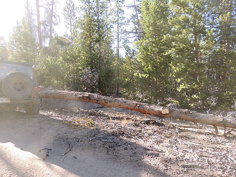
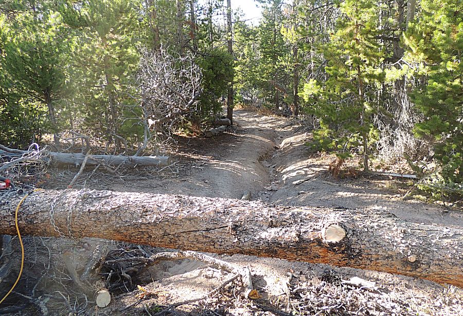
| Smaller
tree cut up and limbs removed I'm ready to make the final cut. Before
the tree could hit the ground I added the chain that would be used to
pull it to whereever I wanted to move it. The chainsaw has a 14" bar and this is about a 16" trunk. |
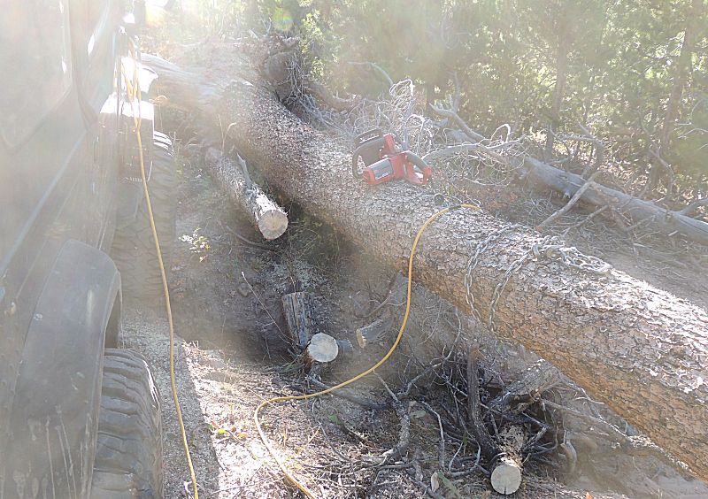
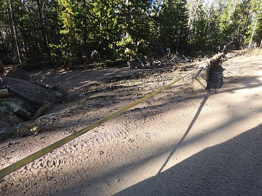
| 98% cut through - but it didn't drop. I want to pull the tree to the left (in this photo). I'll use the jeep to pull it to the right to pull the two apart then will re-position to pull it where I want. The yellow tow strap is connected to the jeep and the chain. |
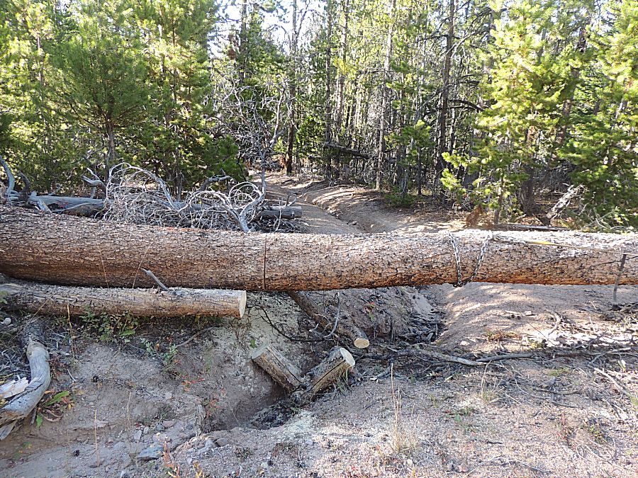
| Connected to pull the tree apart. |

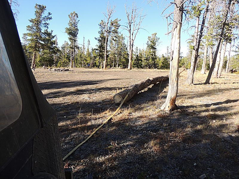
| I
could have pulled the tree back a bit more and left it near this
intersection - out of the way. At the time I had the thought to drag
it across the entrance to the "unlisted" trail - but when I came to that location I
decided to not leave it there. The second choice was a nearby campsite.
It could be used as a bench or cut up for firewood. |
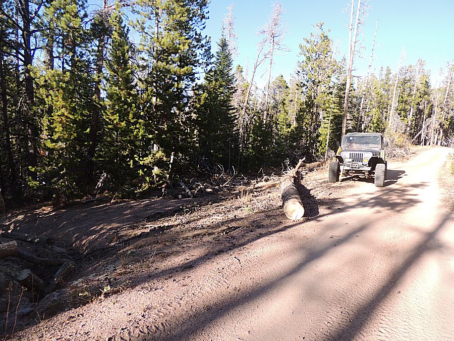
| Now the trail can be easily seen and used. |

| Off we go... |
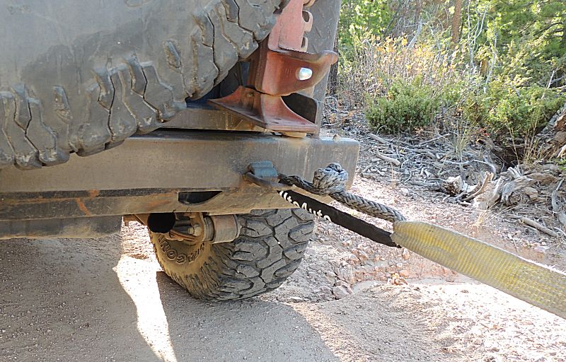
| The
grey "soft shackle" is one I made with the good instruction of fellow
4x4'ers on a Canyonlands Maze District trip a couple years back. This is its first use. |
| Done with tree work for the day. I could (and perhaps should have) turn around and exit the forest where I entered - I was VERY close to where I entered. But no, while it's 5pm and sunset is about 7:40pm (full dark about 30 minutes later) I decided to explore some of the more "northeast" trails in the area. While the exploration was good - I was blocked by a couple gates that extended my day. |
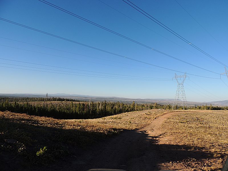
| Headed northeast. There is a "powerline cut" in the forest. There are coal powerplants west of Steamboat Springs Colo. The far set of power lines go to Cheyenne WY and the close set of power lines go to Fort Collins. |
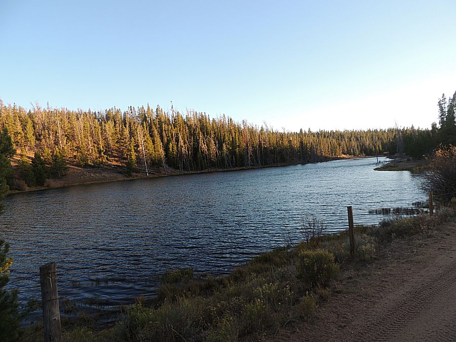
| A nice lake. We're between closed gate #1 and #2 |
| Almost
out of the forest. I crossed the creek at the "Rock and a Hard Place"
crossing and have popped out of the pine trees at an open harvested
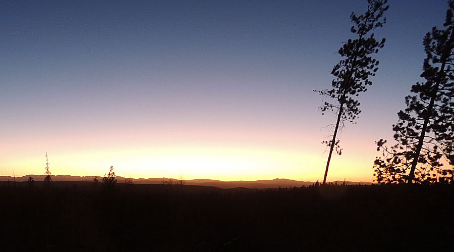
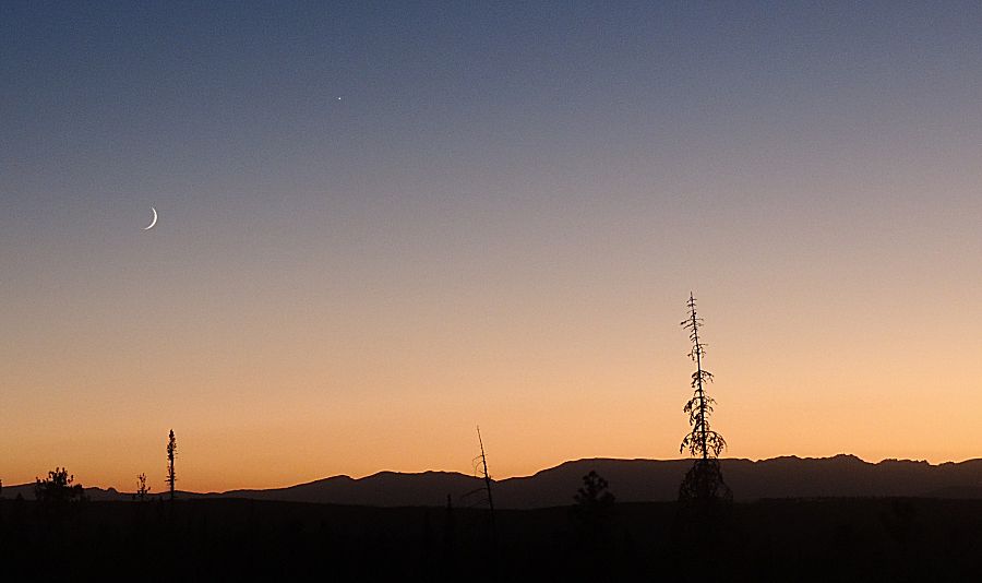
area. Maybe three miles of trail remain. The horizon offered a nice golden color. This photo shows the intensity while the following photo shows more of the true color. |
