Rock Creek (nope), Bunce & Ironclads - good snow
| The
desire is to find a trail with snow. This past week the mountains
looked like they were getting snow - today we'll see. The first trail, Rock Creek, we decided to not travel. It was PACKED with hikers. Back down the highway a few miles to the typical trail set of Bunce School Road and Ironclads. Bottom line - perfect weather and I could say - perfect snow. None of us put on chains If we did, we could have traveled all of Ironclads and we could have moved "one snowdrift" more on Bunce - but no need - it was an enjoyable day in the forest. |
| The Rock
Creek trail near Allens Park - a bust - then back down the highway to
Bunce / Ironclads. |
| 1)
Ironclads - the ledge. It was 1/2 visible (not snowed in). Two of us
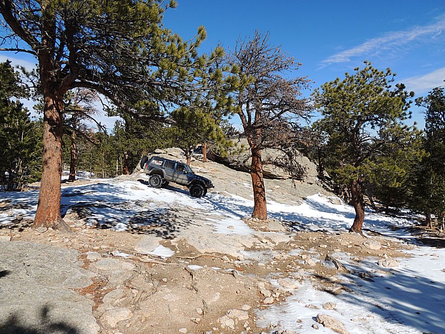
made it up, two not. (no pictures) 2) Ironclads - the snowy uphill - always a difficult spot as it is north facing and shaded with trees. I didn't bother (I was last in line) and just sat back at a nice spot for 30 minutes while the others played. 3) The in-the-trees uphill that often is a difficult spot for Bunce. The first three made it up w/o issue. Snow, in the wheel tracks, was not too deep. It was stay in the wheel tracks and keep momentum up. The jeep bounced left and right in the wheel ruts - good for a smile on the face. The Jeep popped out of the wheel ruts once and I came to a stop in deep snow. I was five feet from the top where snow depth decreased and land leveled out. I backed down two or three times before it stayed in the correct wheel rut and make it to the top. 4) The snow drifts at the meadow. This is typically the end of the road for Bunce (there is a seasonally locked gate so we knew we'd be turning around). The first snowdrift was about 4+ feet deep. The first two made it up and over. The third needed a pull. I didn't bother and stayed back to enjoy some silence with the scenery (except there was good wind). |
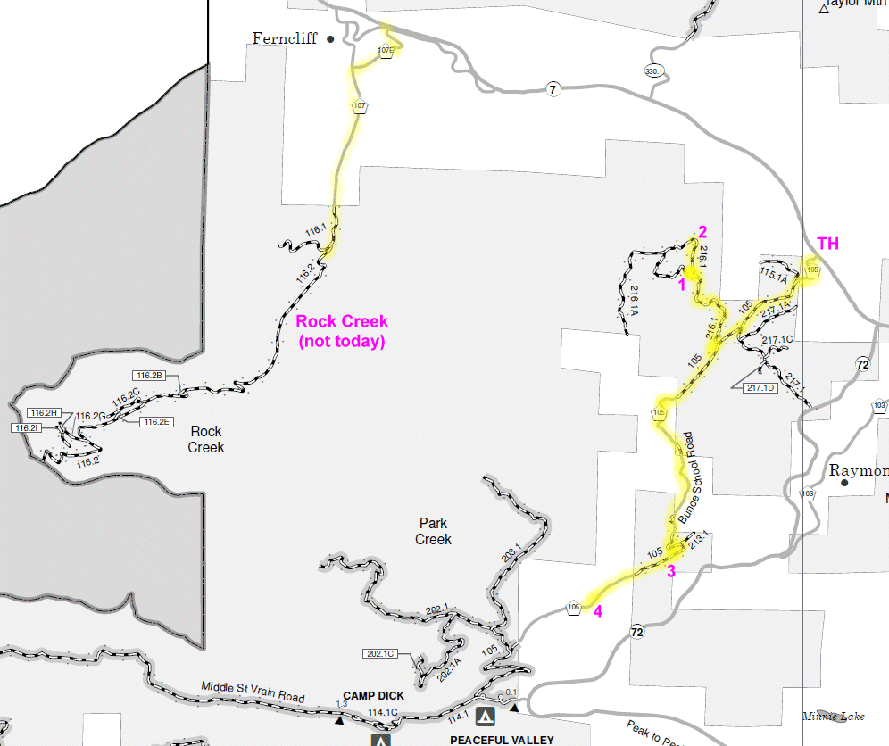
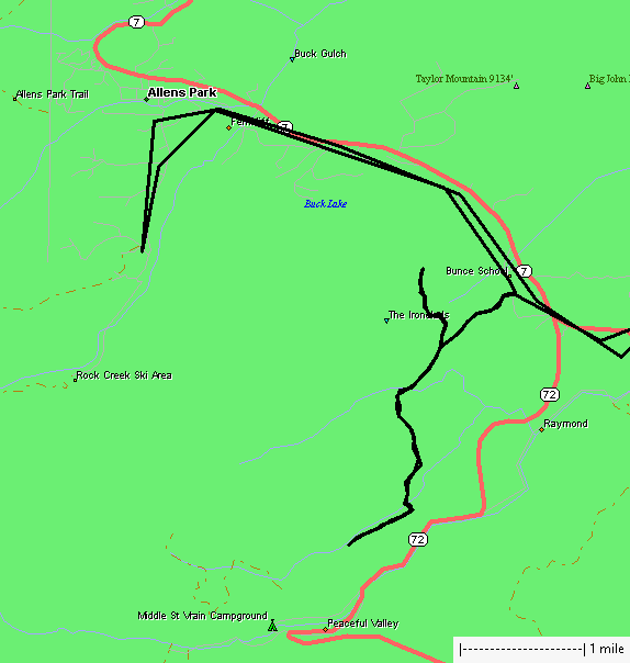
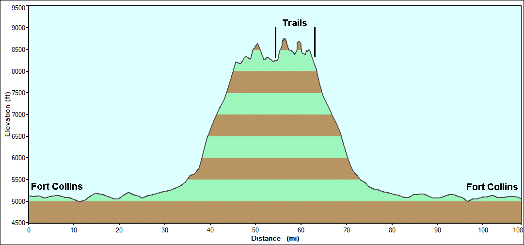
| Trails
is for Bunce / Ironclads. Rock Creek might be the high mark to
the left of "trails". But as we only went to its trailhead - it doesn't
count. |
| Stats Full day |

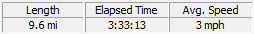
| Stats Bunce - Trailhead to Trailhead |
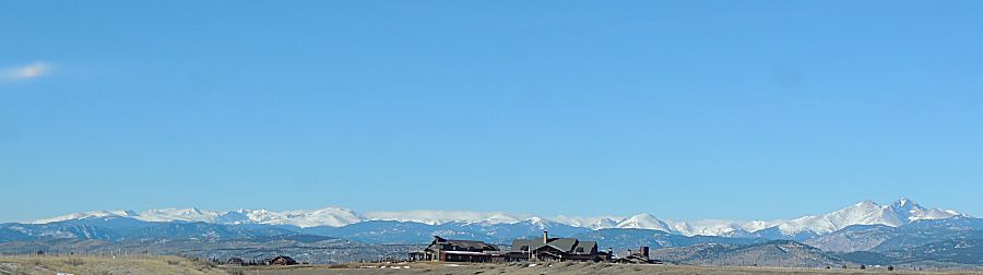
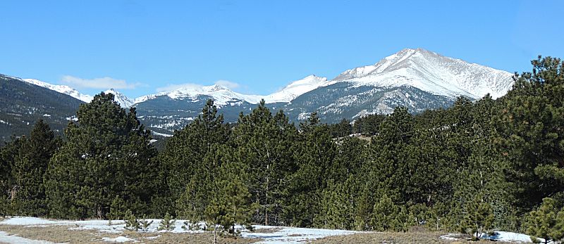
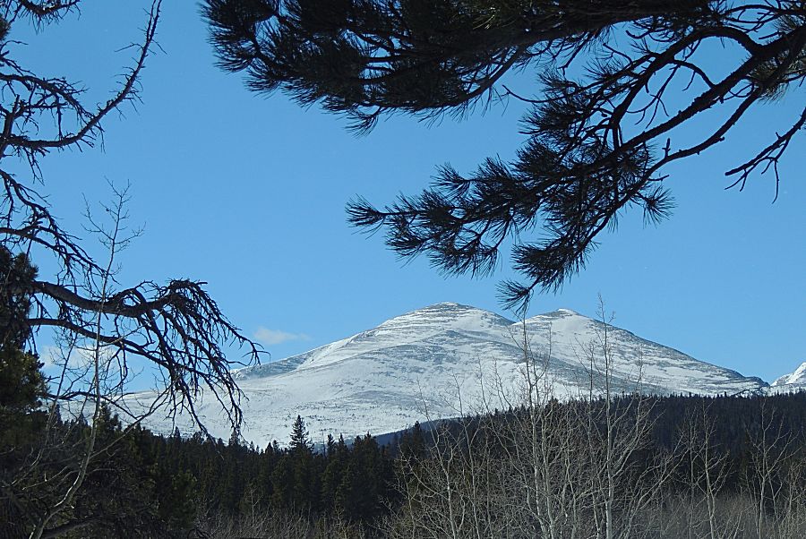
| The
mountains look like they have a solid white coating. Longs Peak
(far right). We'll be in the mountains near the center-left portion of
this picture. |
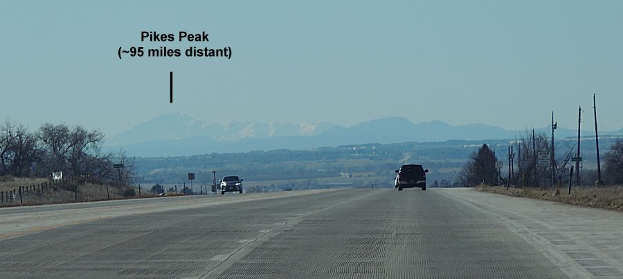
| Heading
south on US-287 and a few miles north of Longmont. The spot is where I
question if I can see
Pikes Peak. Today is a clear air day and it's visible. |
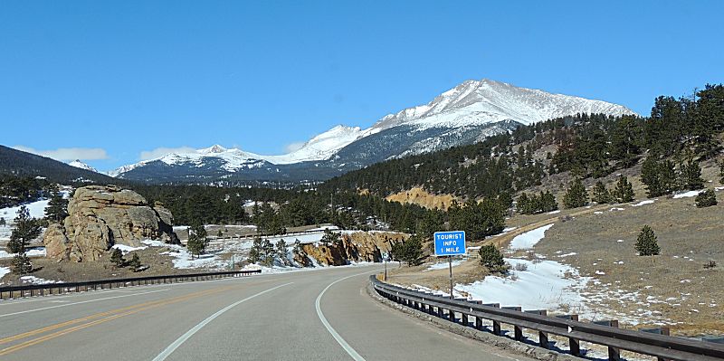
| Possibly Mount Meeker - we're getting close to
Allens Park |
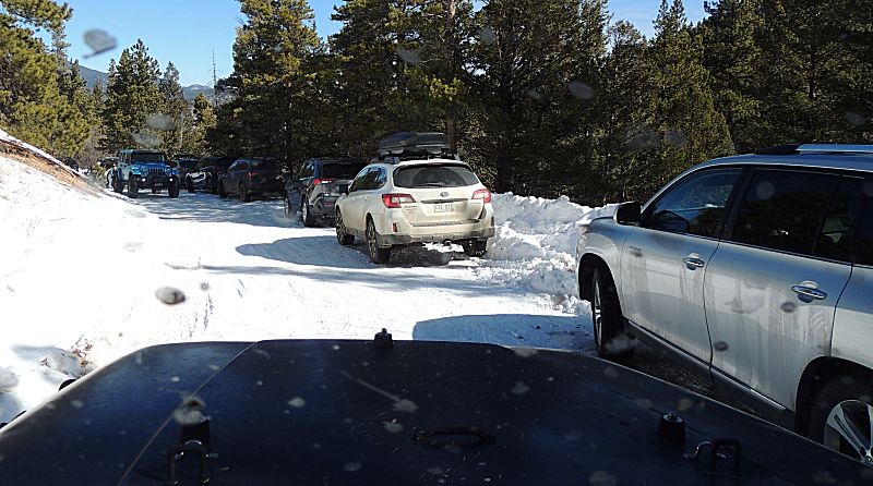
| Rock Creek trailhead - packed - perhaps 50
cars. |
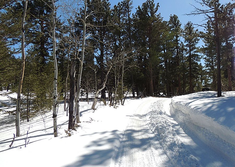
| Down to Bunce School Road - snow depth is not
as much as I would have expected (but I know there will be snow). |
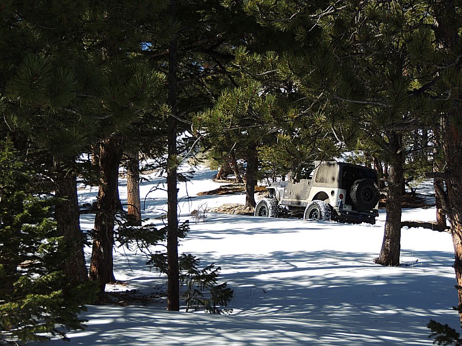
| Spot #2 on the map - My 30 minute hold while
the others gave the in-the-shade uphill a try. |
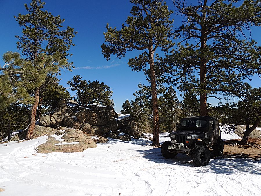
| Heading back to the intersection where #1 /
the ledge is. |
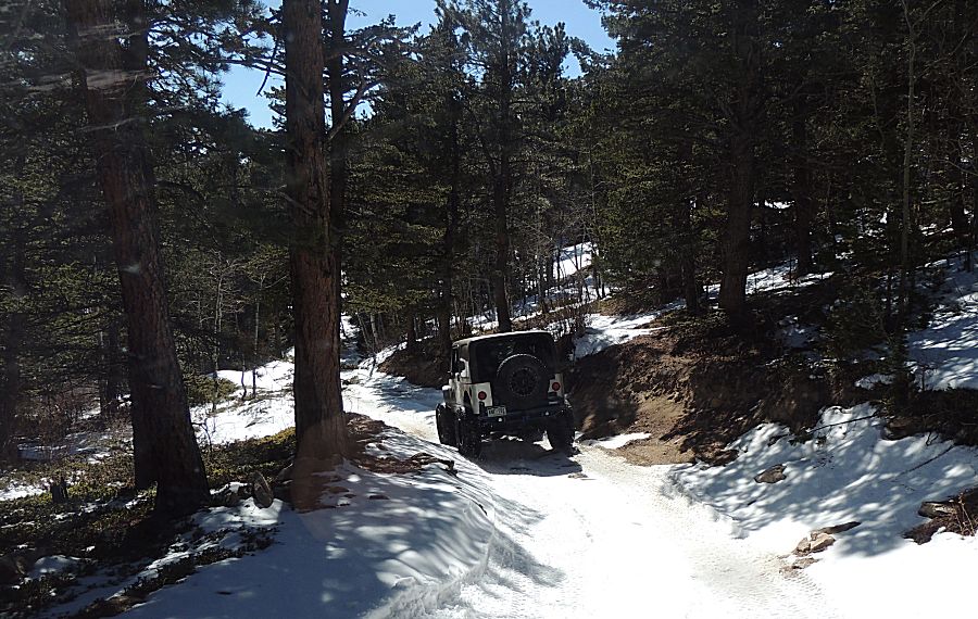
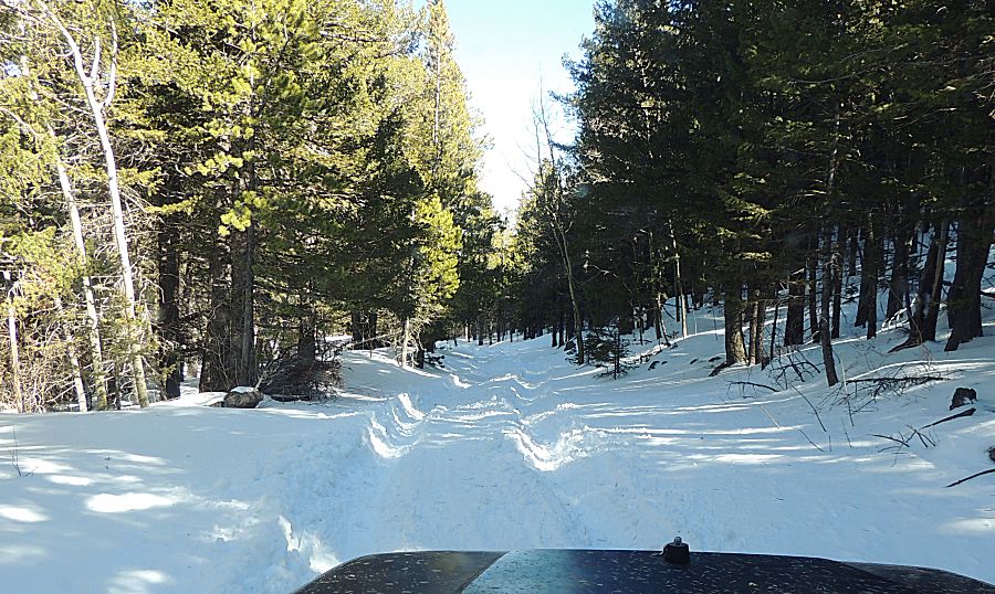
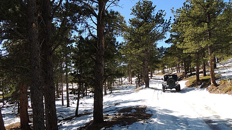
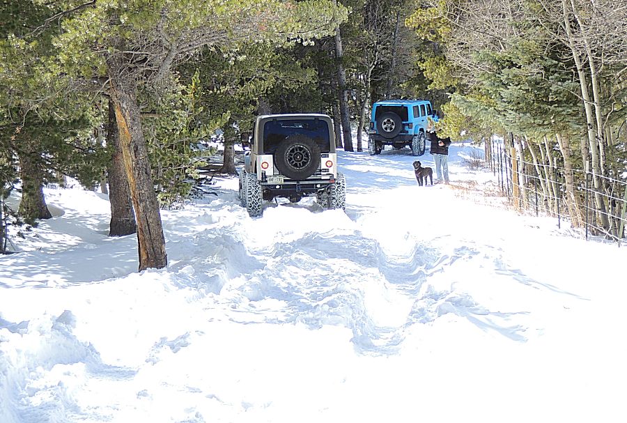
| Off
of Ironclads and back to the Bunce road. One of the snowy spots - the
first "how much snow will there be?" There is reasonable snow at the
edge of the trail but not much on the trail. |

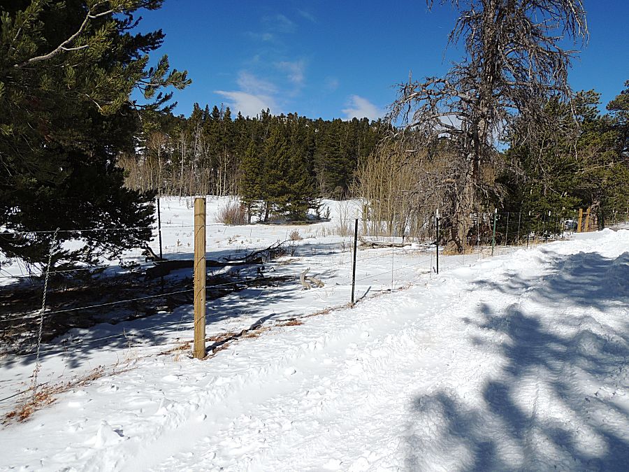
| We're
down at the meadow with the large drifts - this is the "south end" of
Bunce in the winter-time. There's a seasonally closed gate perhaps 1/4
mile south. Between the gate and here the snow drifts are the typical
end of day for the trail. Notice the white tipped fence posts. |
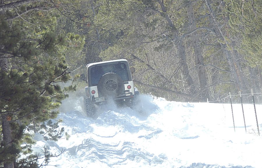
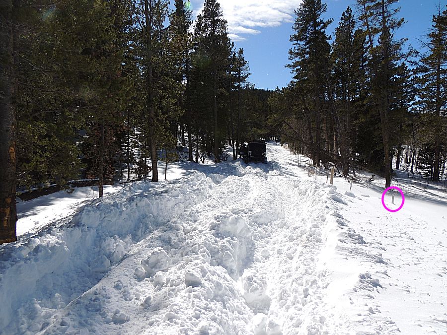
| The first big drift. Knowing the other drifts
will be close at hand I stayed back and soaked in the scenery. I somewhat didn't want to bother with the drifts as well as being a jeep on clear ground to help pull any other over this drift for their way back. |

| Top of a fencepost (about four feet tall)
circled in purple. |

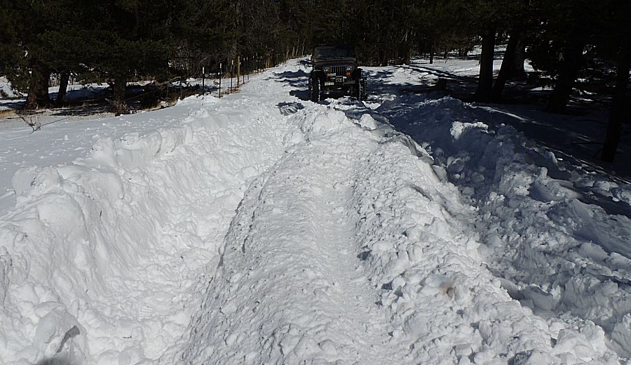
| The first two will head one more drift down
trail before turning back. |
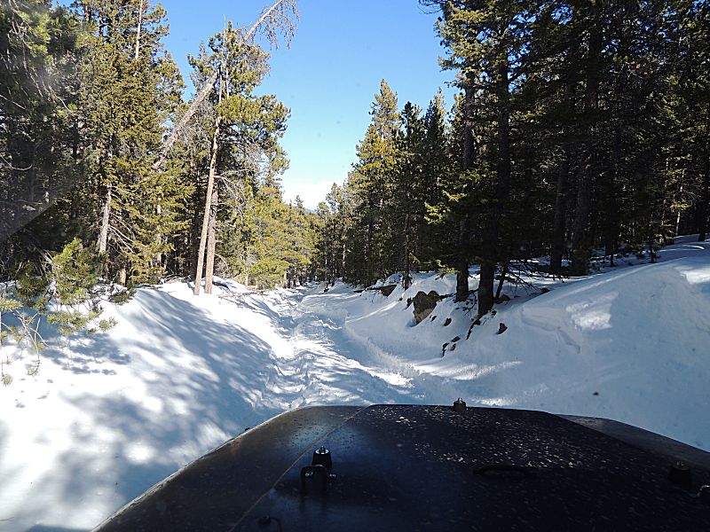
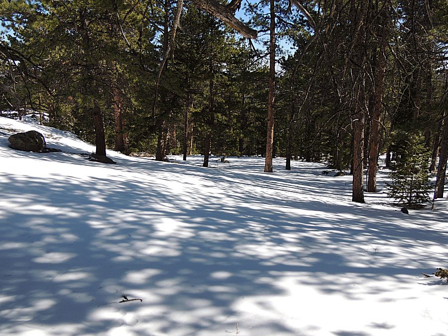
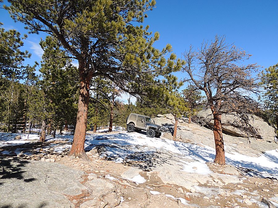
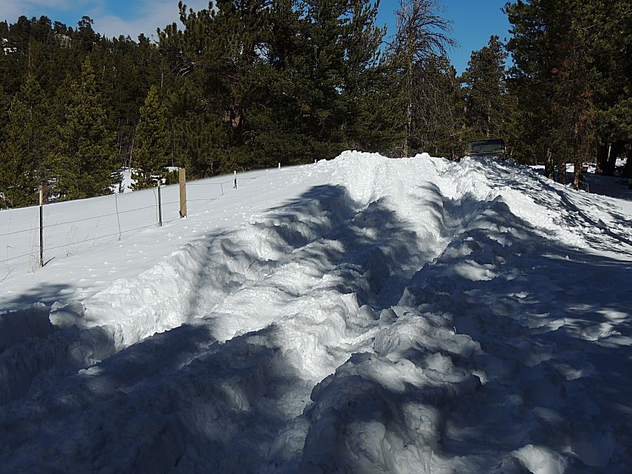
| Heading out - the "flat area" with not too
much snow. |
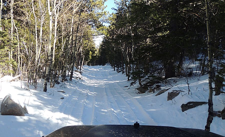
| Heading downhill in the wheel ruts section
that was a fun uphill. |