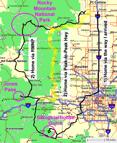
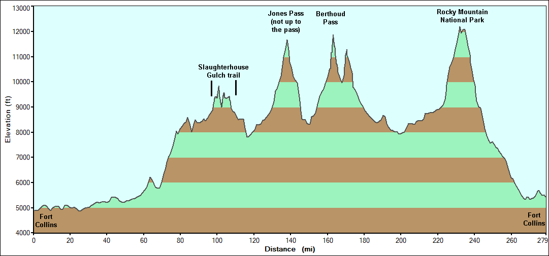
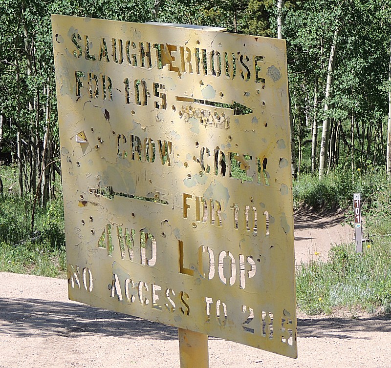
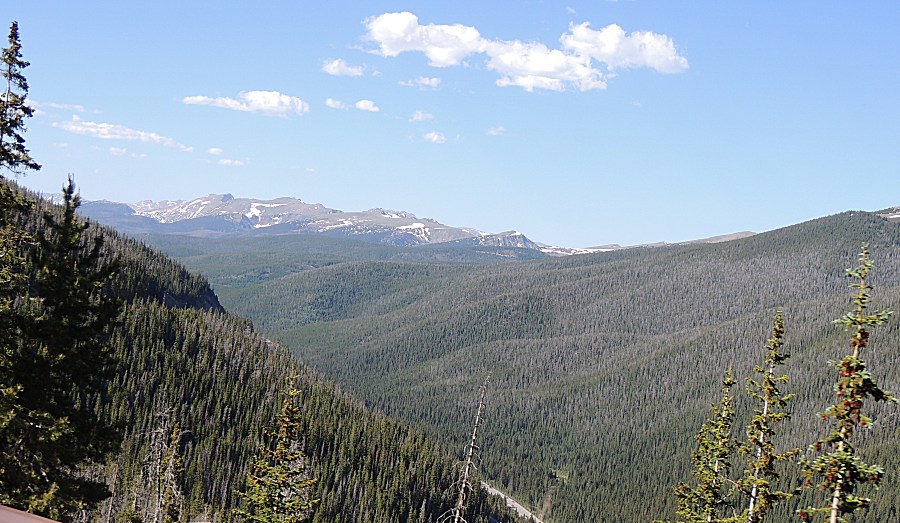
Slaugherhouse Gulch, Jones Pass, RMNP
| The jeep trails are starting to open for the season. Many
trails had their gates unlocked June 15. Some folks
wished to visit a popular trail for the Denver area folks -
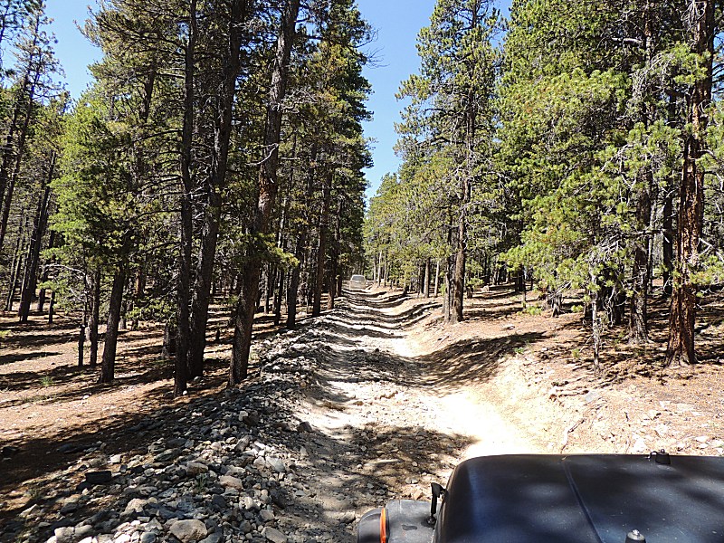
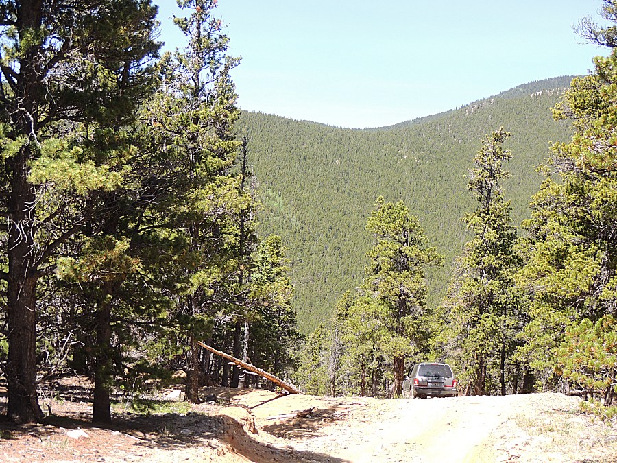
Slaughterhouse Gulch. It's a moderate difficulty trail - but with a
catchy name. The difficult portion of the trail, run counter-clockwise,
is uphill sections with deep undulations. These undulations have one
front wheel slightly in the air with the opposing side rear wheel also
being slightly in the air. This combination leads to those two wheels
spinning with no forward motion - unless your vehicle has good
suspension travel, locking differential(s), or traction control.
Fortunately, my jeep has reasonable suspension travel though the
significant benefit is it has two "get out of jail" cards - selectable
front and rear locking differentials. The undulations were of no
concern - though I tried to not hit the "easy" buttons and see what the
jeep could do with open (unlocked) differentials. I was also three
wheel drive as the right-front locking hub would not lock in (lock the
front left hub and enable the lock on the front differential was used
in some portions of the trail - but otherwise I was rear wheel drive
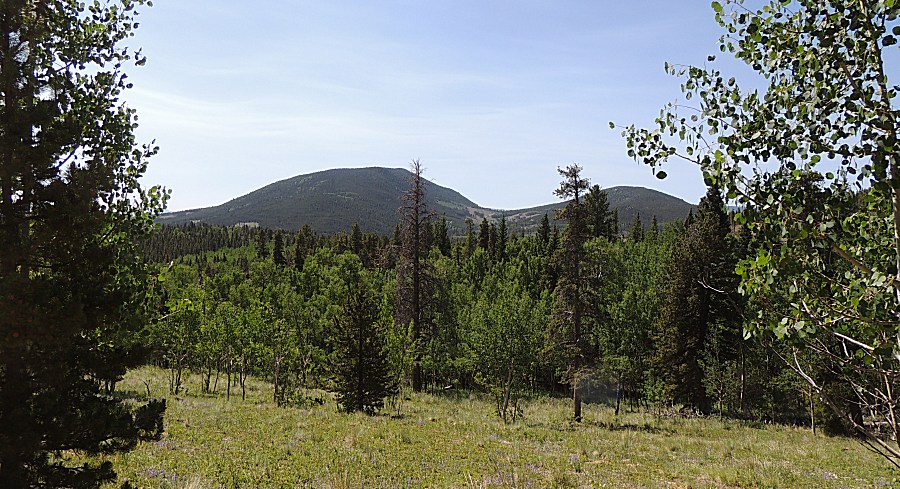
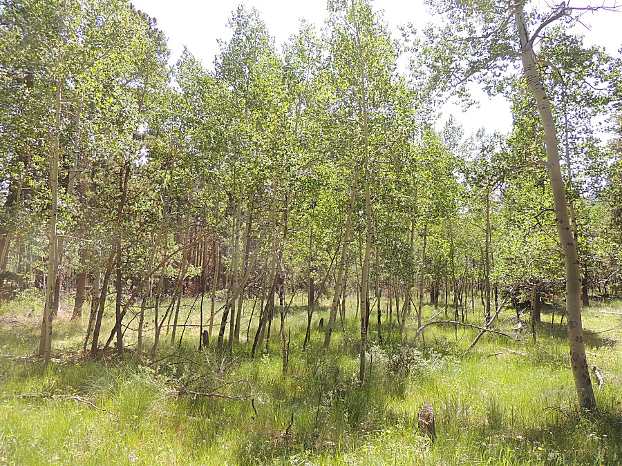
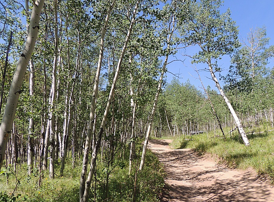
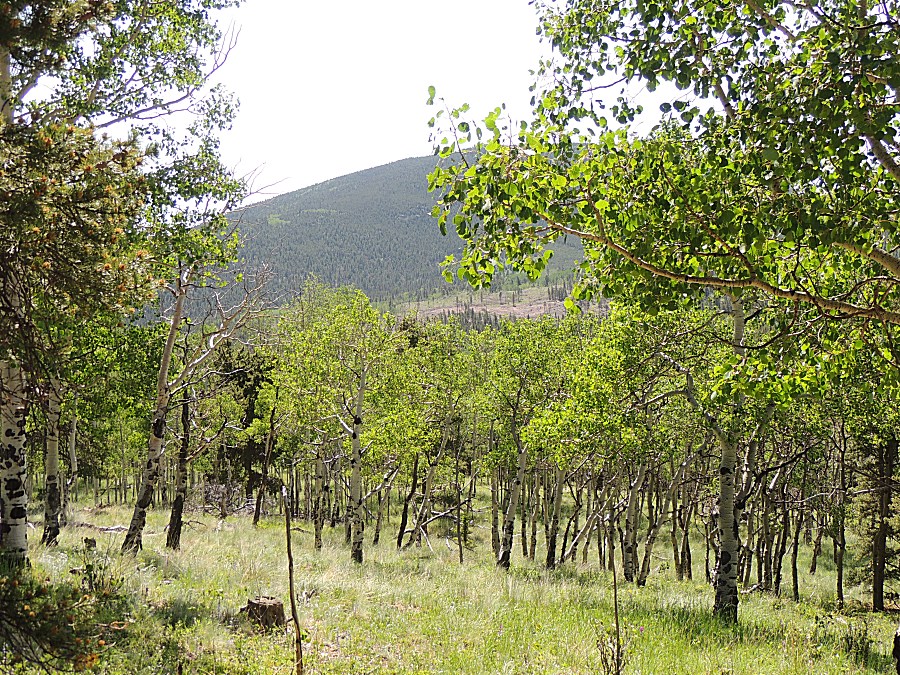
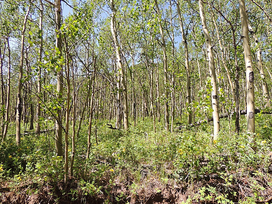
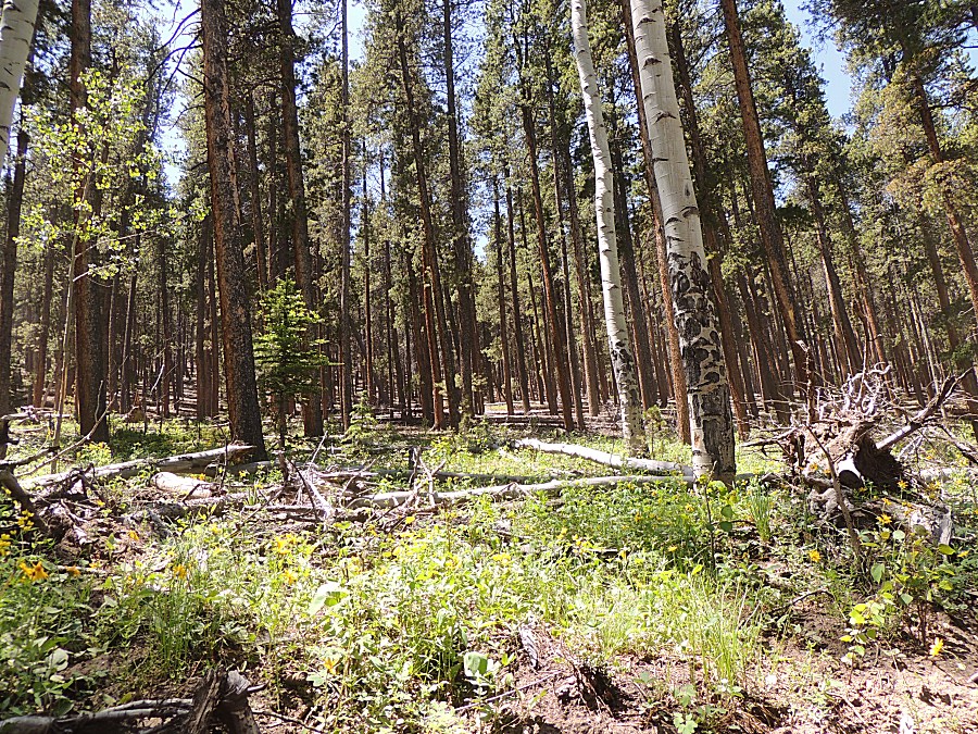
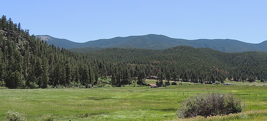
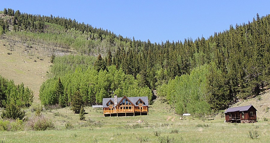
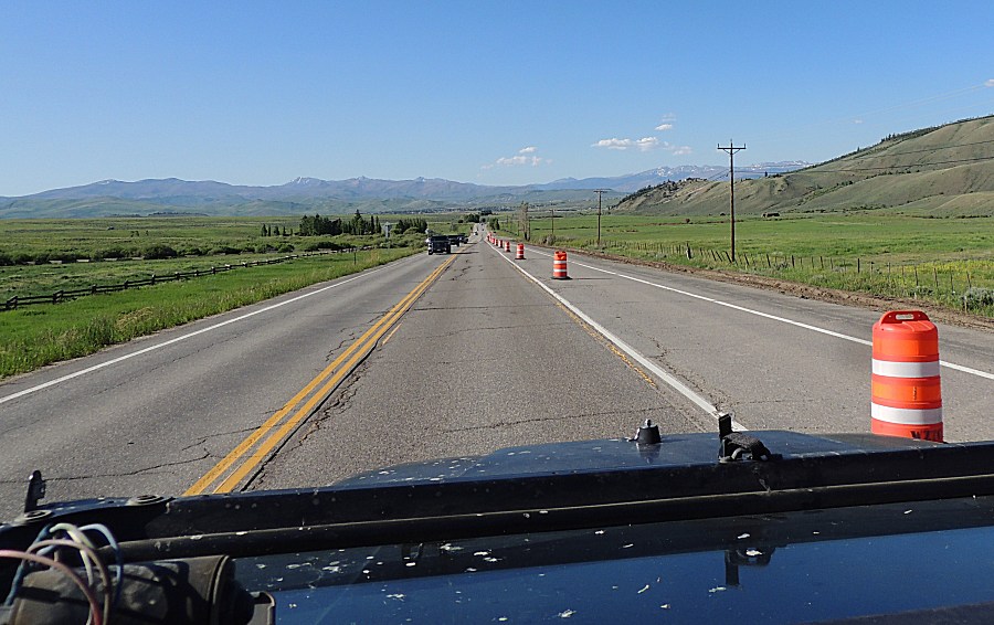
only). The trail is surrounded a fair bit by housing / private property. There was some logging in recent years which gives open fields with logging trash in the grass that is now able to get sunlight to grow. Aspen trees were frequent - so this could be a nice trail for Aspen gold scenery in the fall. Done with the trail - a decision - do I head back the way I came - back down to 5000 feet and 95F temps or do I stay up higher in the mountains with cooler air? In the mountains was the decision - but then a second decision - which route - stay east of the Continental Divide and head up the Peak to Peak highway to Estes Park (and a first for the season cinnamon roll in Glen Haven) or up the wese side of the Divide and jump over at Rocky Mountain National Park or Colorado Highway 14? I decided to go up the west side - via RMNP. I do not have a parks pass. If I get there too early and the ticket booths are staffed I either have to buy a permit, wait until the booth is not staffed, or deviate to Highway 14 / Cameron Pass. As I had time, I added Jones Pass onto the list. The Jones Pass addition would add to the day to help me be at the ticket booth after it was staffed - a free pass for the up-n-over RMNP. Jones Pass has been on my mind for some time but it's in an area I don't often frequent. I figured I'd give it a go - but I didn't realize I'd be stopped by four feet of snow still on the road. I'll have to try another time - much later in the season. While I could travel a some of the Jones Pass road I saw it was a crowded place with campers in all of the campsites. Others are getting out of town for the cooler mountain air. With a fuel stop at Granby I wanted to see if the jeep could get better than 20MPG (typical is ~15MPG city/highway and 4-9MPG trail). I noticed this several years ago, it gets unusually good fuel economy on the up-n-over trip through RMNP. I filled in Granby and again at home in Fort Collins - 21.8MPG. I guess "coasting" from 12K feet down to 5K feet helps (though it did need to haul a full tank from 5K to 12K). Nicely, when I arrived at the west ticket booth - it was not staffed (6:14pm). Near a popular moose sighting area there were cars at the roadside - I joined them - with the last picture in the set of a moose. A nice day to be in the mountains. |
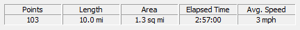
| Stats - full day |

|
Slaughterhouse Gulch. We ran it counter-clockwise. Elapsed time does not included air-down or air-up but does include 45 minutes for lunch |
|
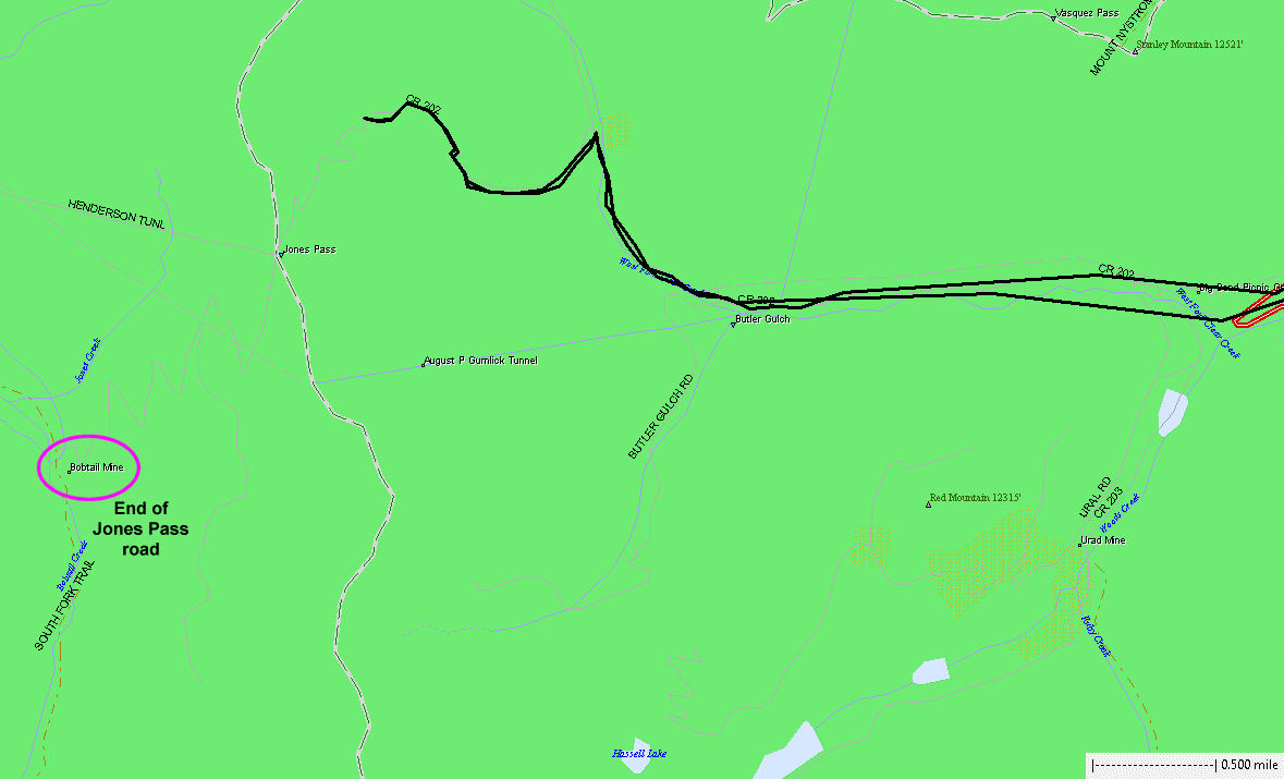
Jones Pass. I didn't come to me that snow would have it blocked. It'll
be weeks before the road melts open. |

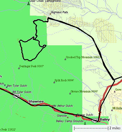
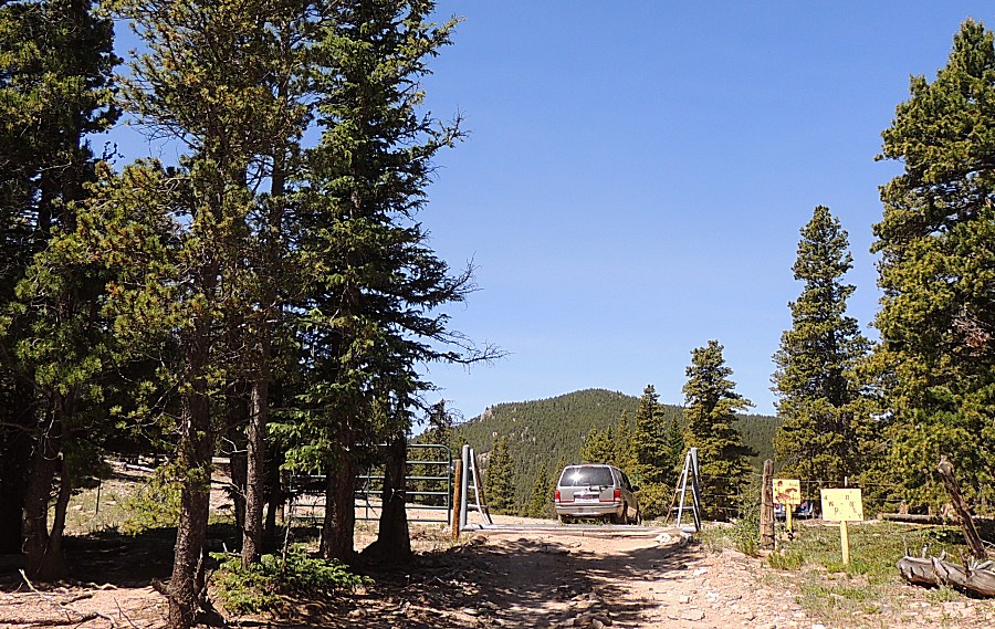
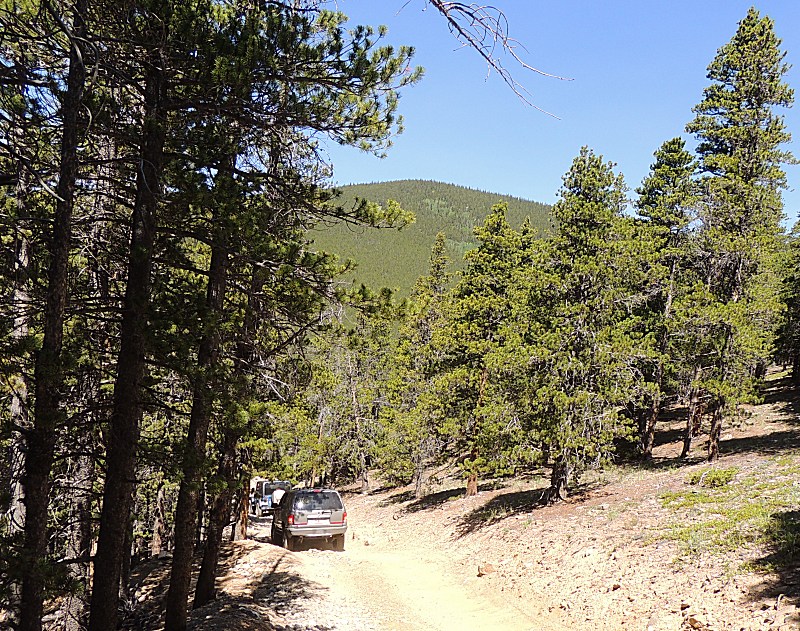
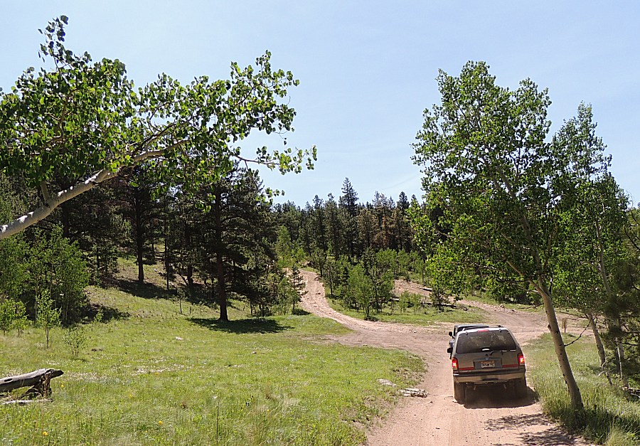
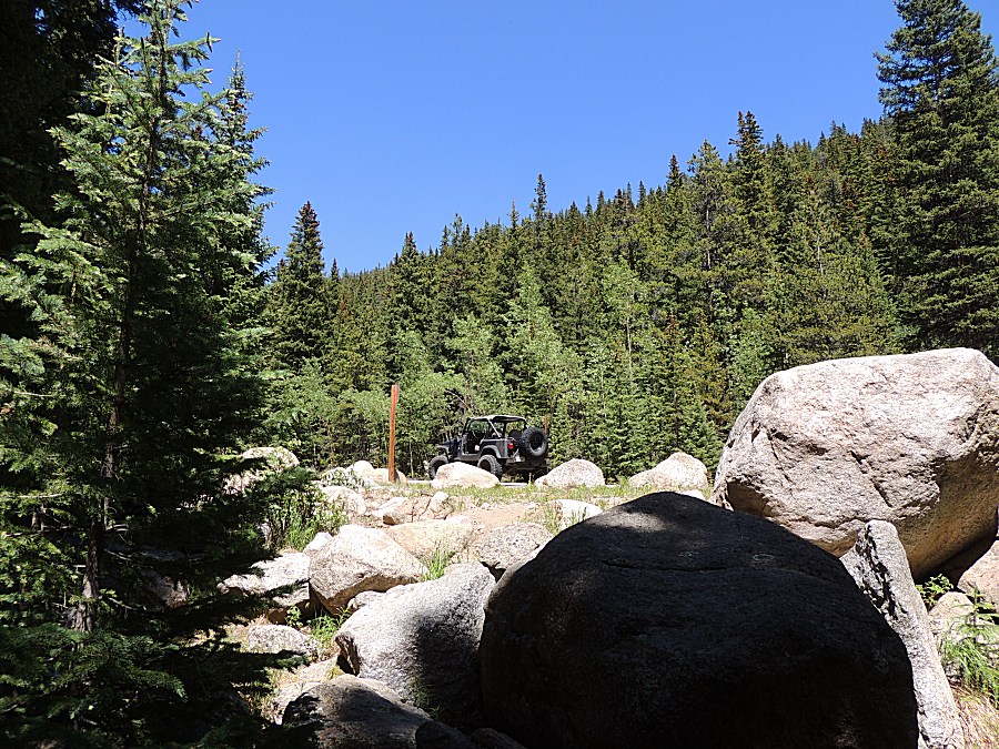
| Starting out at Slaughterhouse Gulch. Two other vehicles today. |
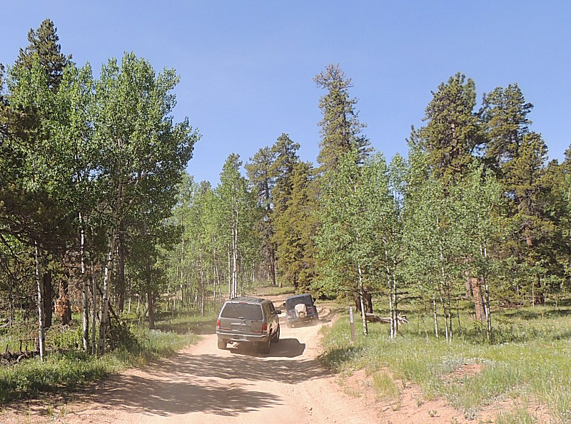
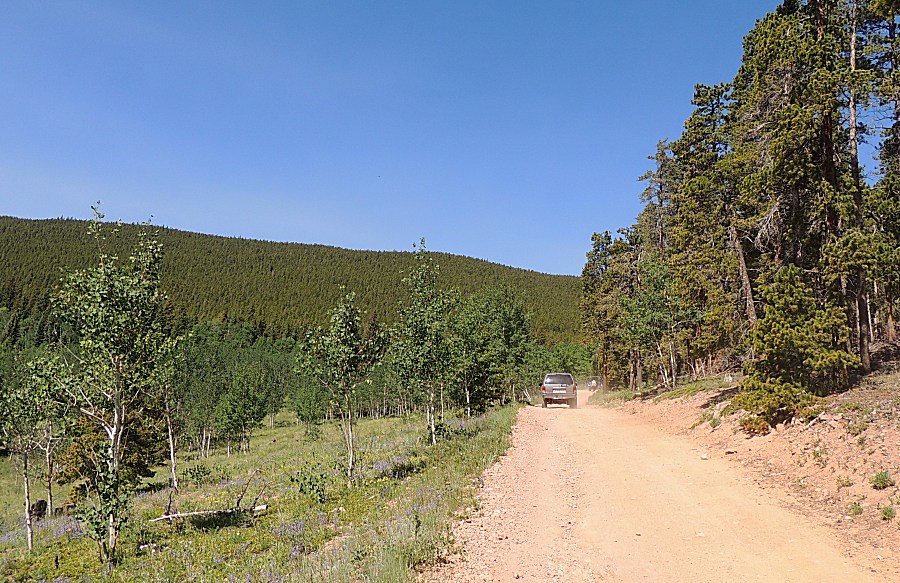
| There were several campsites - only a few were in use |
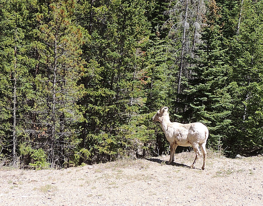
| About
here the lead person commented on elk in the roadway. Then a herd
started running across. I counted 21 head - mature to young - running
left to right, uphill. |
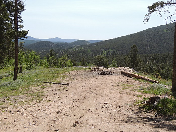
| Apparently,
the trail used to extend southwest to exit to US-285 - but it no longer
does / that route has been closed. This is the intersection where,
turning right, is the dead end that used to be an exit. We'll turn left
and head up one of the three difficult sections. |
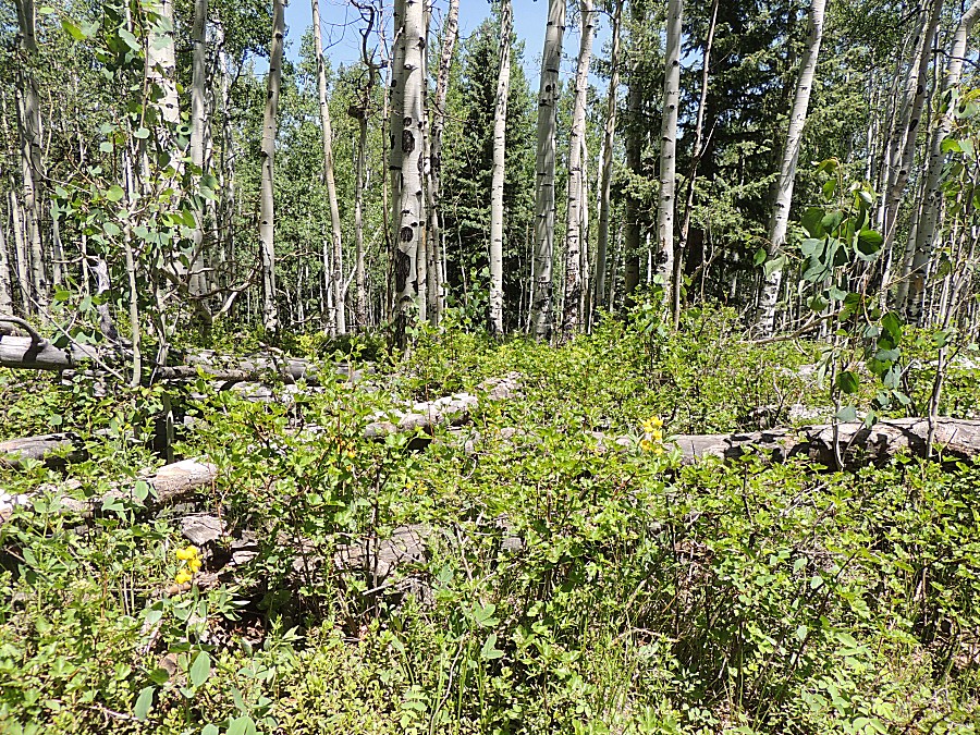
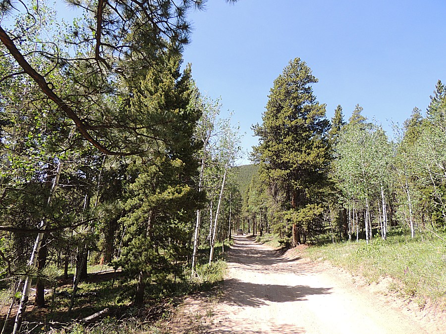
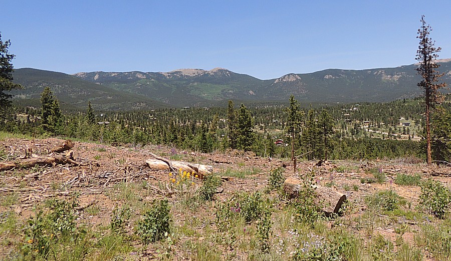
| One of the forested areas with logging refuse. Housing subdivision in the background. The last Slaughterhouse Gulch picture. |
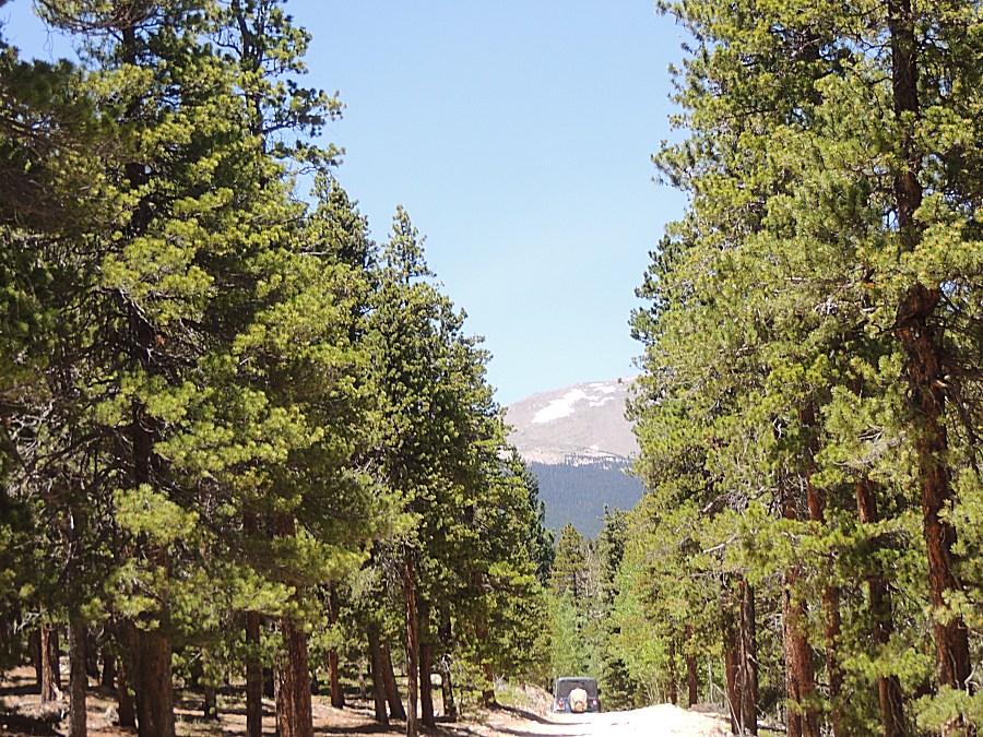
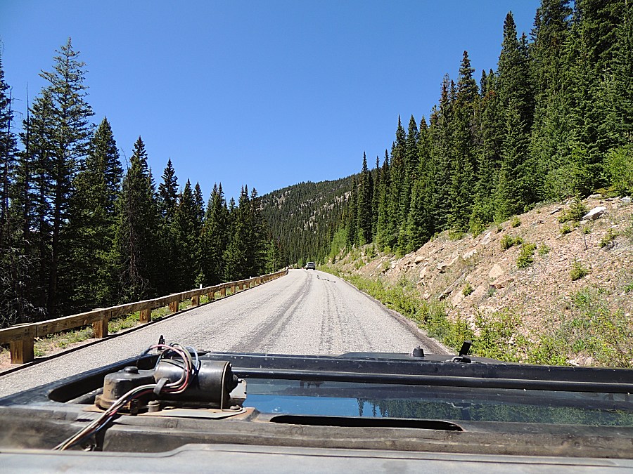
| We're
out of Slaughterhouse and are traveling north on Colorado 381 /
Guanella Pass. This road is now paved between Georgetown and US-285.
We'll see more animals on and near the roadway. |

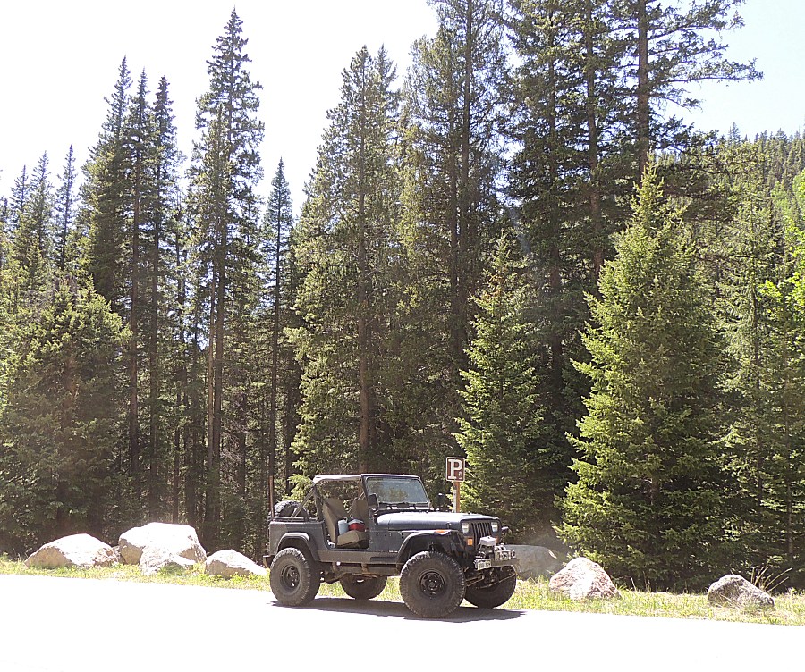
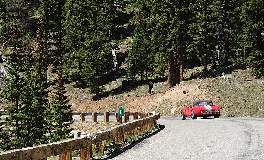
| Christopher
and I stopped at a roadside pull-out with a nice stream for a
lunchbreak a few years ago. I wanted to see if I could find it again -
success. I recalled a wide asphalt parking area along the road where the road was generally straight with rocks at the roadside. Check.Check, Check and here we are. I'll take off the bikini top and put the windshield down for the rest of the day. It looks like I've overinflated the tires (31psig)... a fair bit of sunlight below them. |
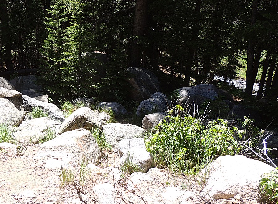
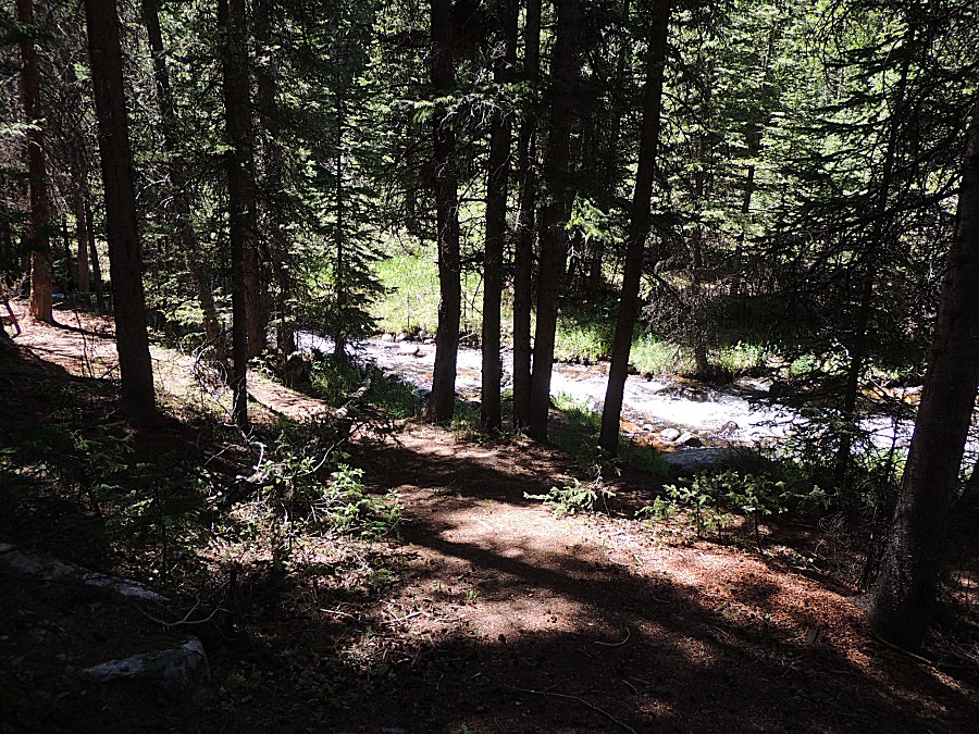
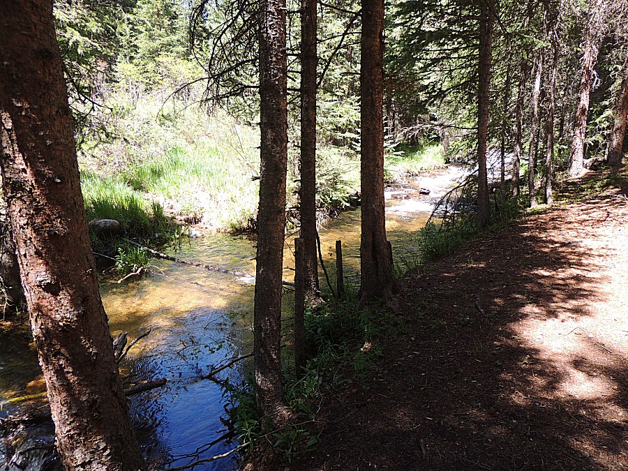
| Over some rocks then through some pine trees to the nice stream. |
| Windsheild down... |
| A fun car enjoying the day. |
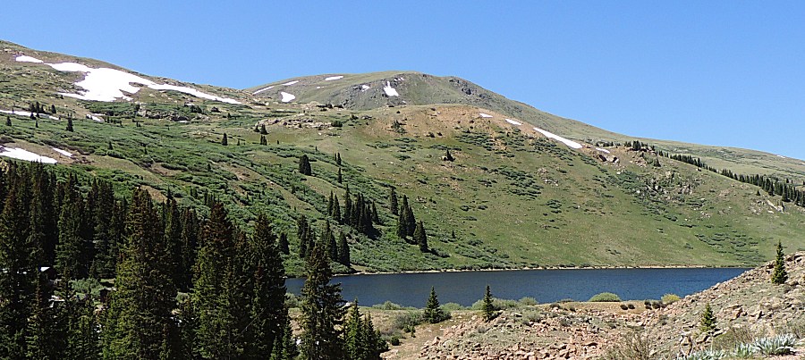
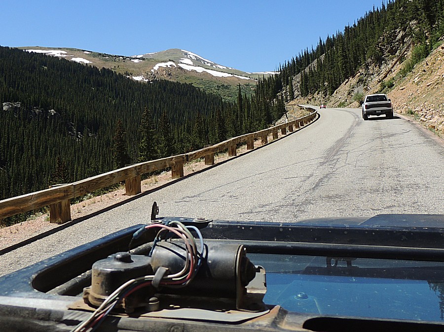
| A popular hiking spot... Mount Bierstadt (14,065 ft) |
| ...with a crowded area. |
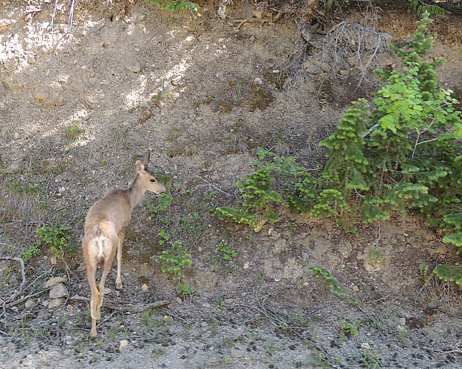
| Deer down by Georgetown. |
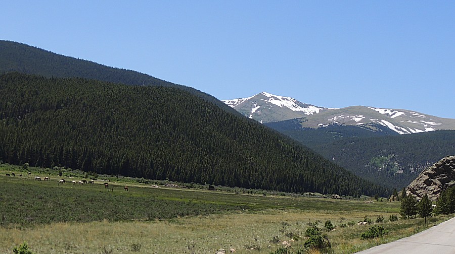
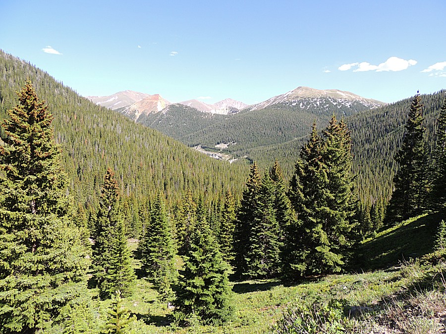
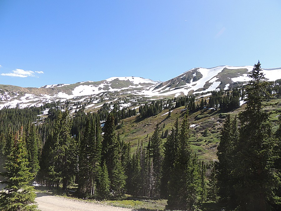
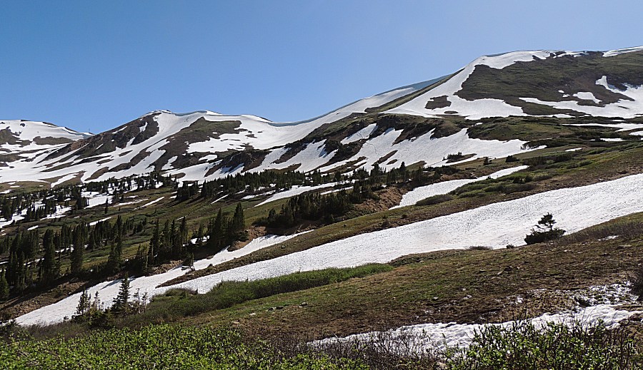
| Looking towards Jones Pass snow. |
| Up Jones Pass a bit - looking back at the valley we came up. |
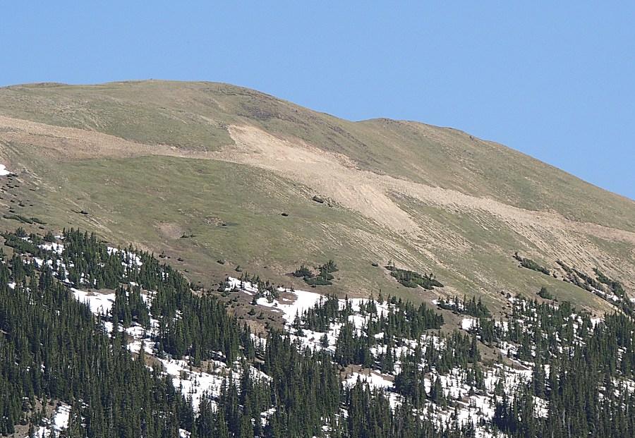
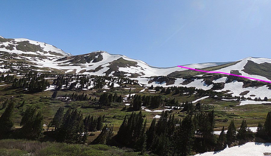
| The
horizontal line is a road cut. I believe it was made for the mining
testing. Perhaps not enough mineral content so we don't see any mine
activity. |
| A nearby mountainside with a road cut - not open to the public I believe. |
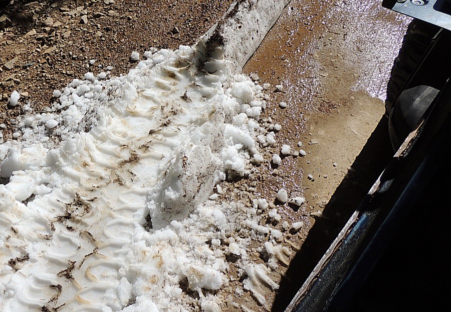
| Up with snow - to make my mark |
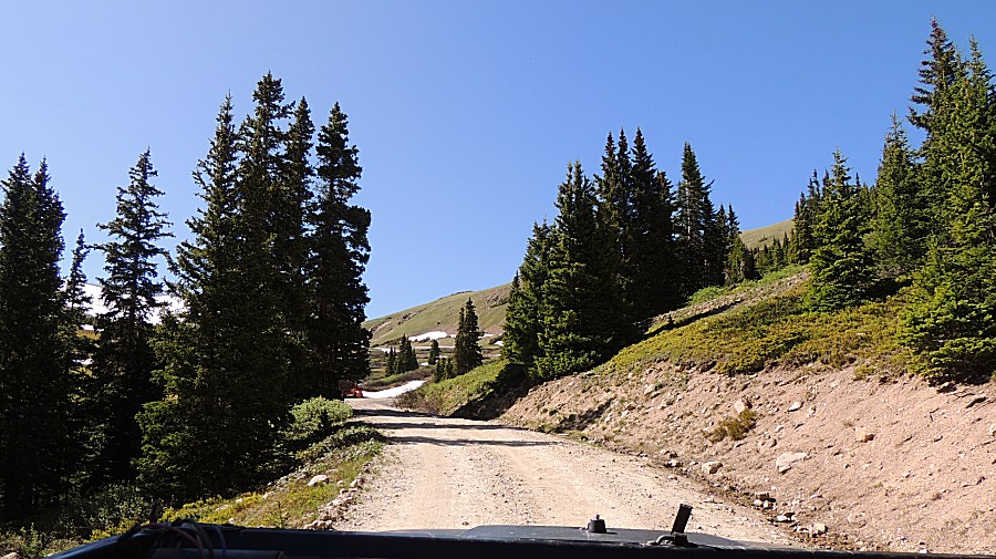
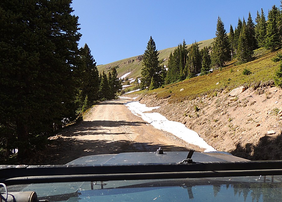
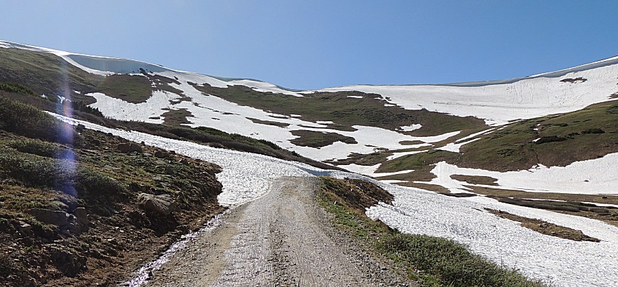
| Nearing the timberline |
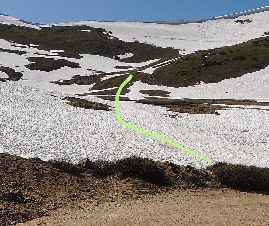
| I
have never been to Jones Pass so at this point I'm not realizing I'm
looking at the road and that it's FULLY snowed in (center of photo),
near the ridge. |

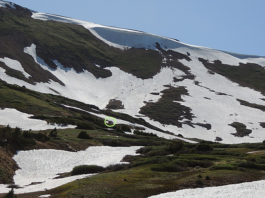
| Here's an annotated picture for the roadway. The next photo is un-edited. |
| The straight, inclined lines are marks of man in nature. |
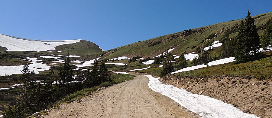
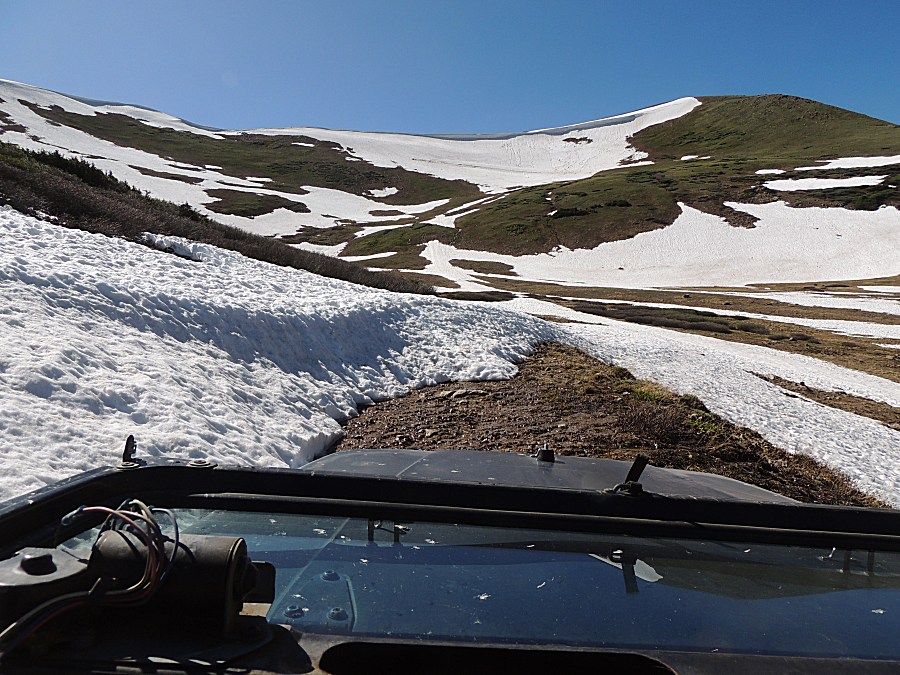
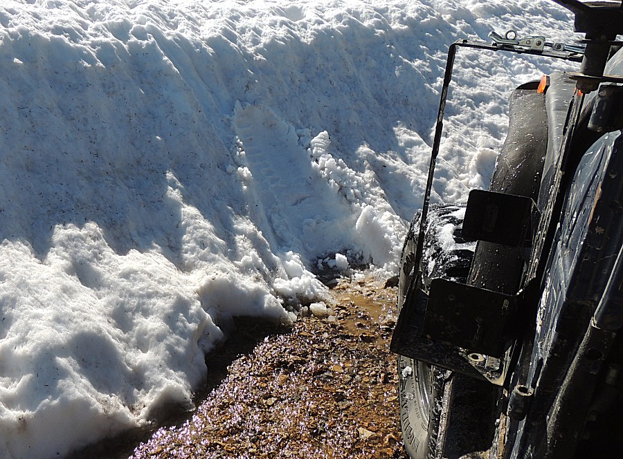
| End of the road for today. The road makes a tight left switchback here to head up-hill. Deep snow. |
| If
I was with another and we were looking to play in the snow, I'd put on
four chains and give it a go. The snow was hard packed. I'd ride on top
of it. As I'm solo today, no risking getting stuck. |
| Make a mark and turn around. |
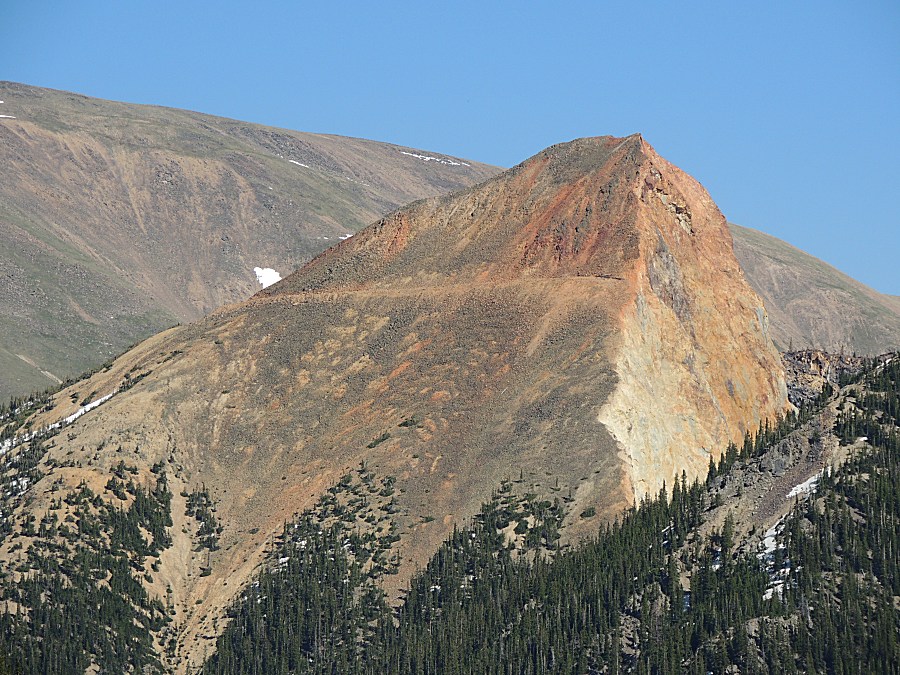
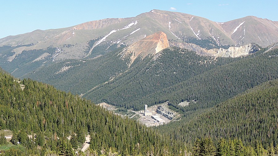
| The
Henderson molybdenum mine - listed as the largest molybdenum mine in
the nation. The triangular red mountain above it that has the
horizontal road cut. |
| As
I was coming down Jones Pass, at a switchback, I noticed what I take as
snowmobile tracks (from last season). Folks heading up to play on the
steep snow. |
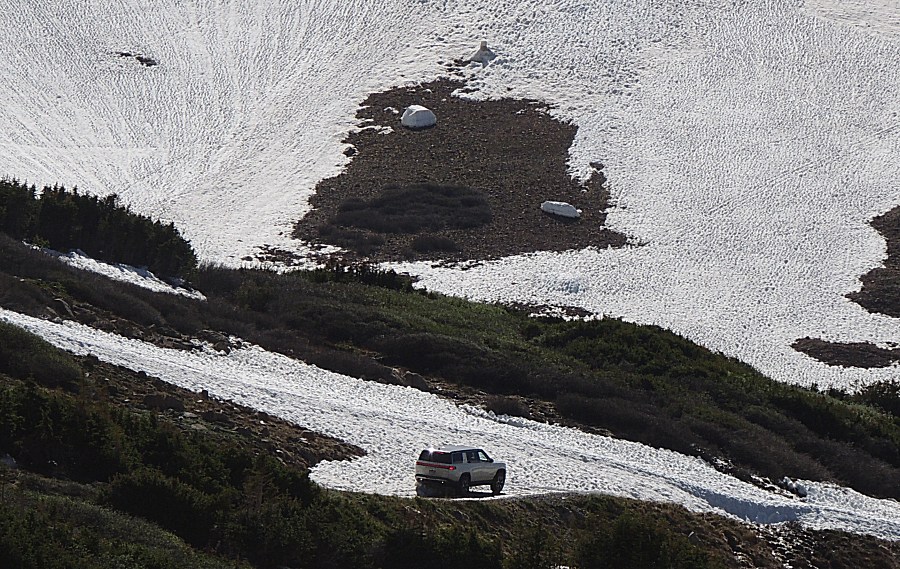
| Another SUV headed past me and are sitting at the end of the road. |
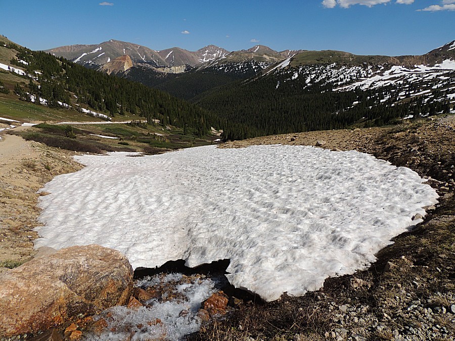
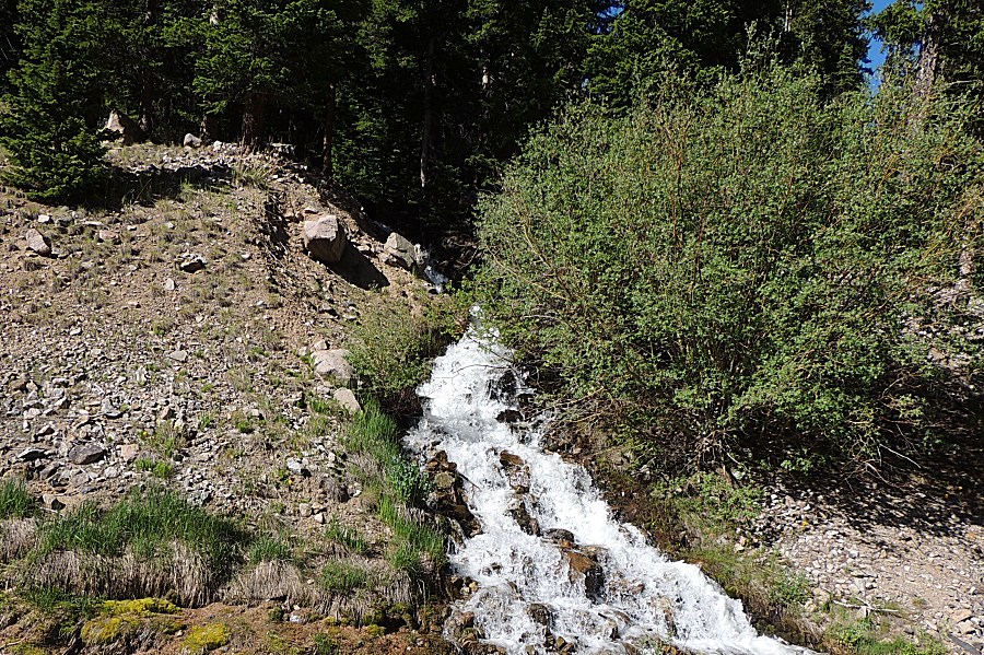
| The water's flowing - great! |
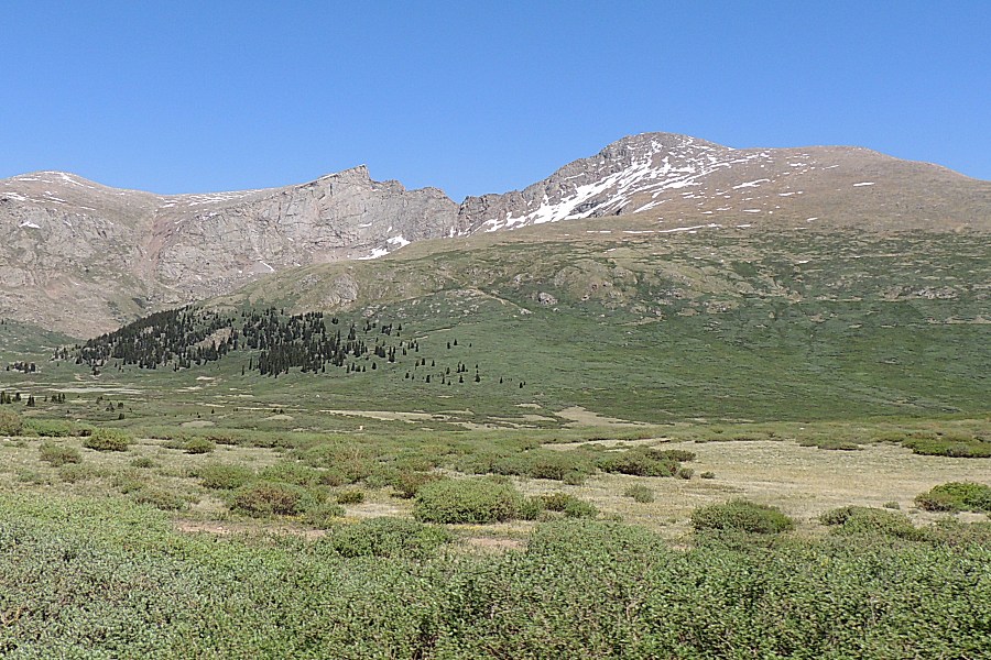
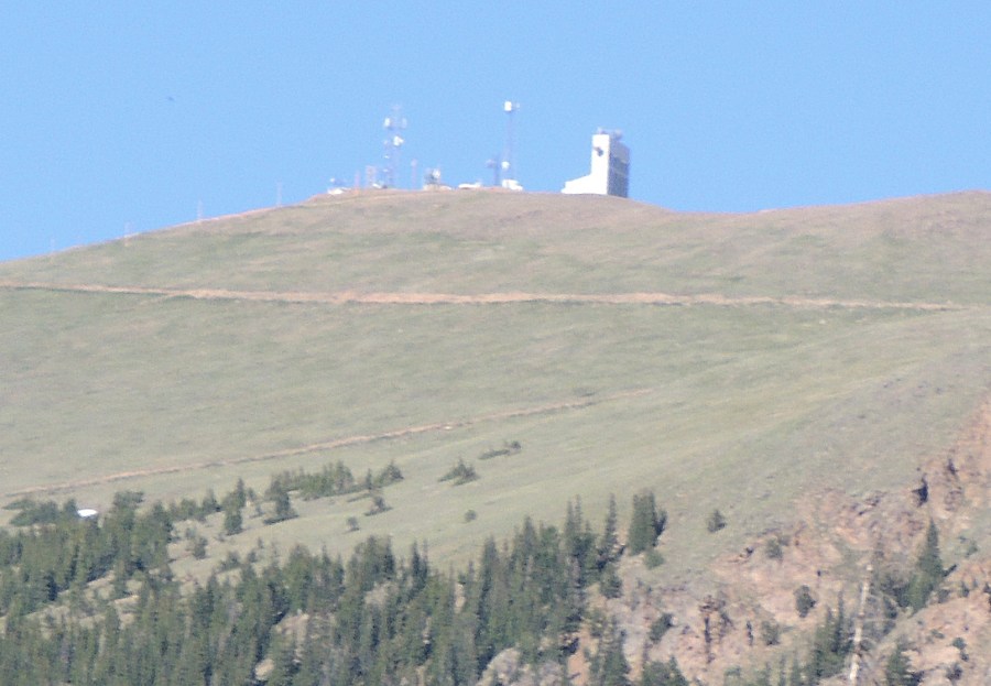
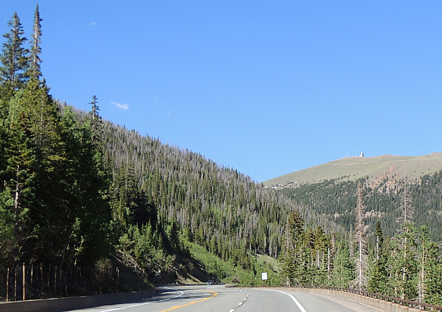
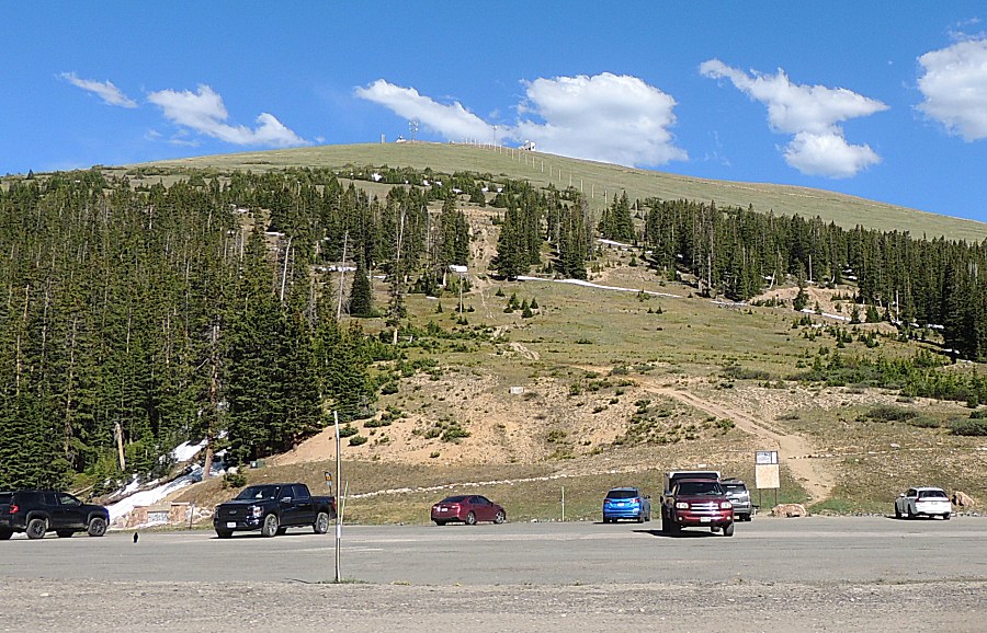
| Nearing Berthoud Pass - weather and radio equipment atop Colorado Mines Peak (12,392 ft) |
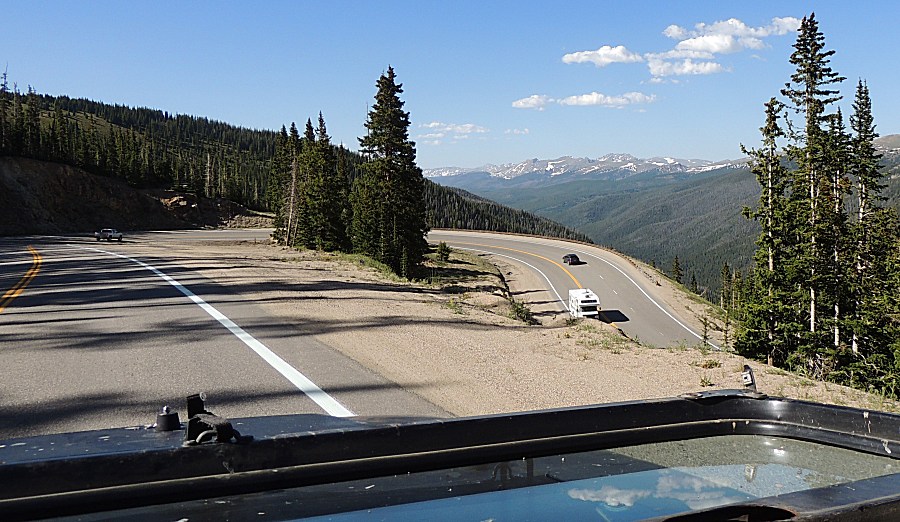
| Berthoud Pass looking east |
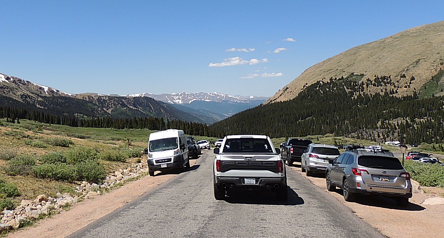
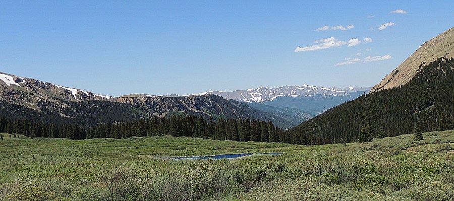
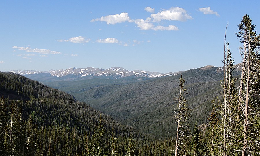
| Looking North, towards Rocky Mountain National Park. We'll need to "jump over" those mountains to the right to get back home. |
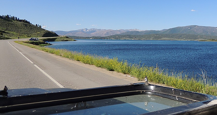
| Lake Granby To the east, over the mountains, is Longmont Colorado |
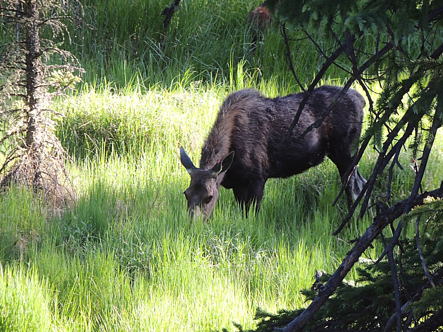
| Moose at Rocky Mountain National Park |