2025 San Juan's & Yampa Bench Road
|
Day
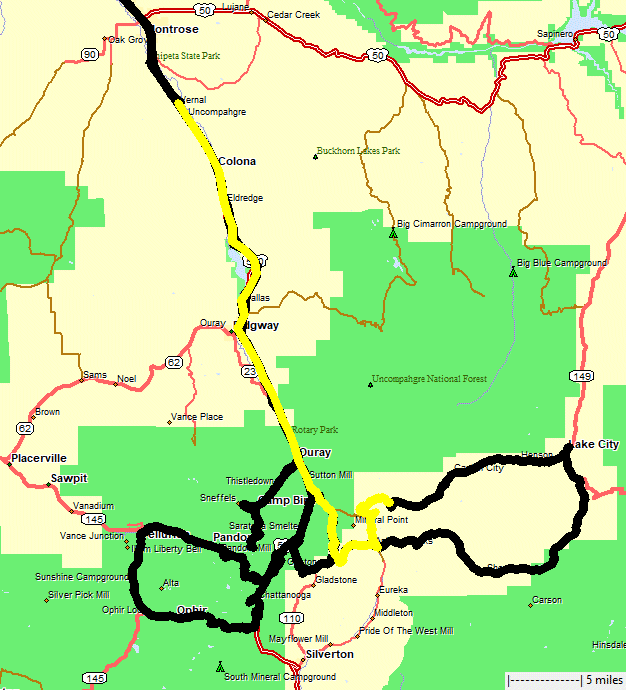
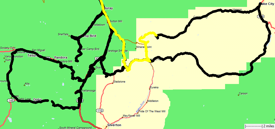
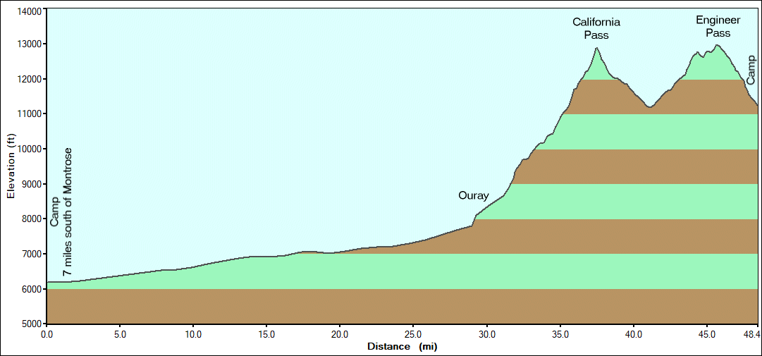
2 for the full trip but the first day for trails - Mineral Creek >
Poughkeepsie Gulch > California Pass > Engineer Pass & camp
on the trail. The optional obstacles on Poughkeepsie Gulch will be the
most difficult for the trip - a nice challenge. |
|
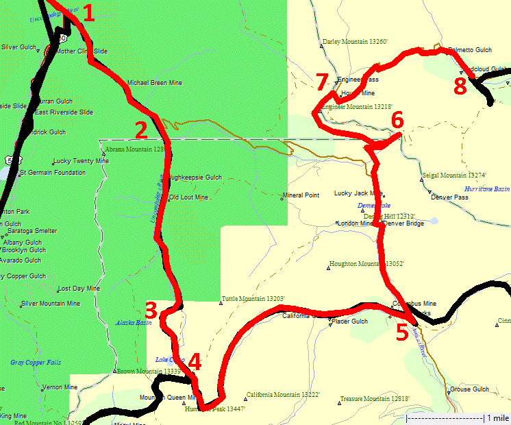
1
to 2 is Mineral Creek. 2 to 4 is Poughkeepsie Gulch. Spot 3 is the
difficult obstacle spot. 4 to 5 California Pass. 5 is the Animas Forks
townsite. 5 to 8 Engineer Pass. |

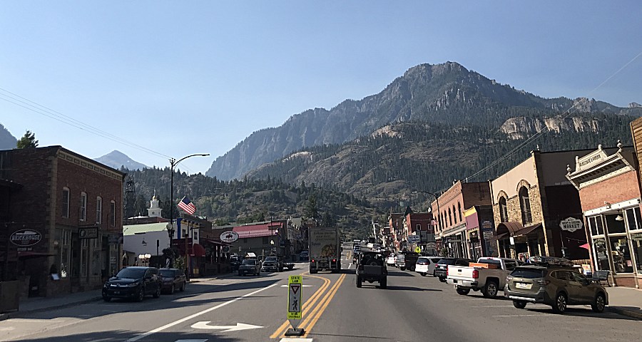
| Downtown Ouray |
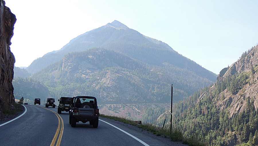
| US-550, The Million Dollar Highway |
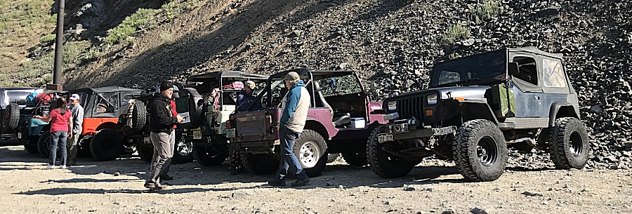
| Most of the group Far to near Montana (blue), Wyoming (orange), ?Maryland? (white), ?Maryland? (tan), Colorado (purple), Colorado (dark blue) |
| ...and Florida! (tan) |
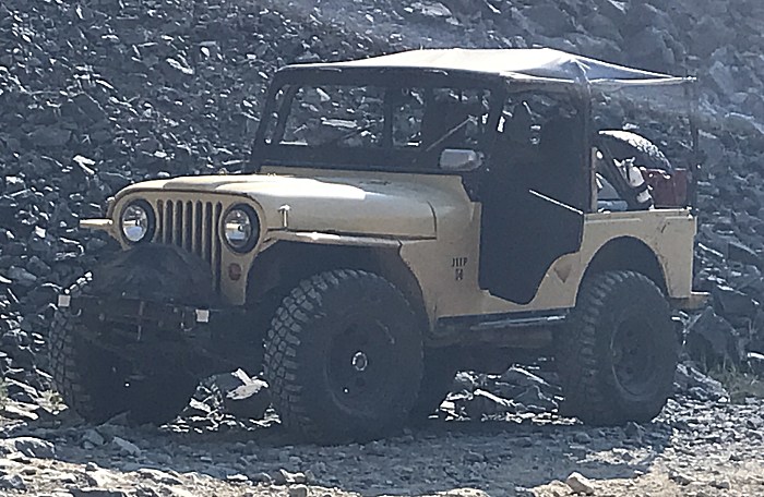
| This trail has a couple iconic photo sections
- this is a first visit for me. |
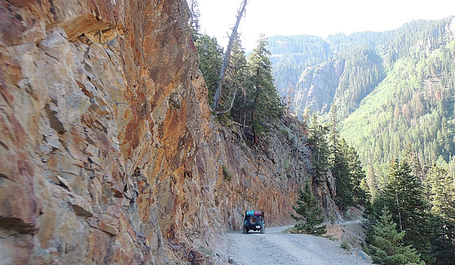
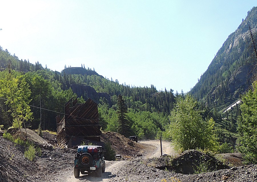
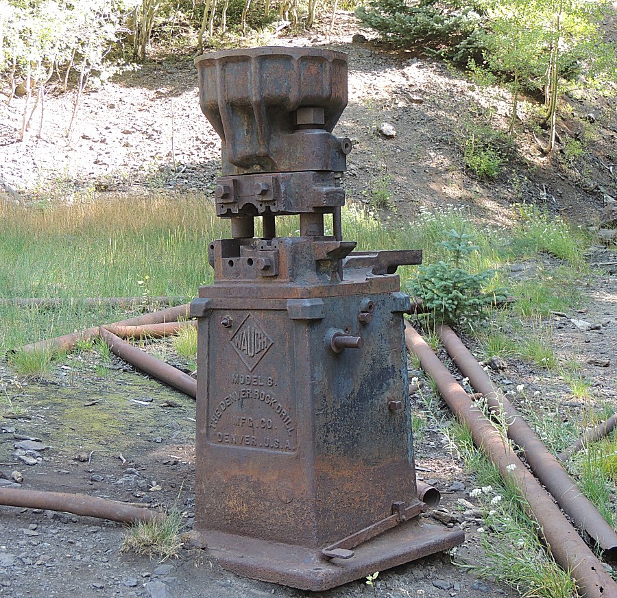
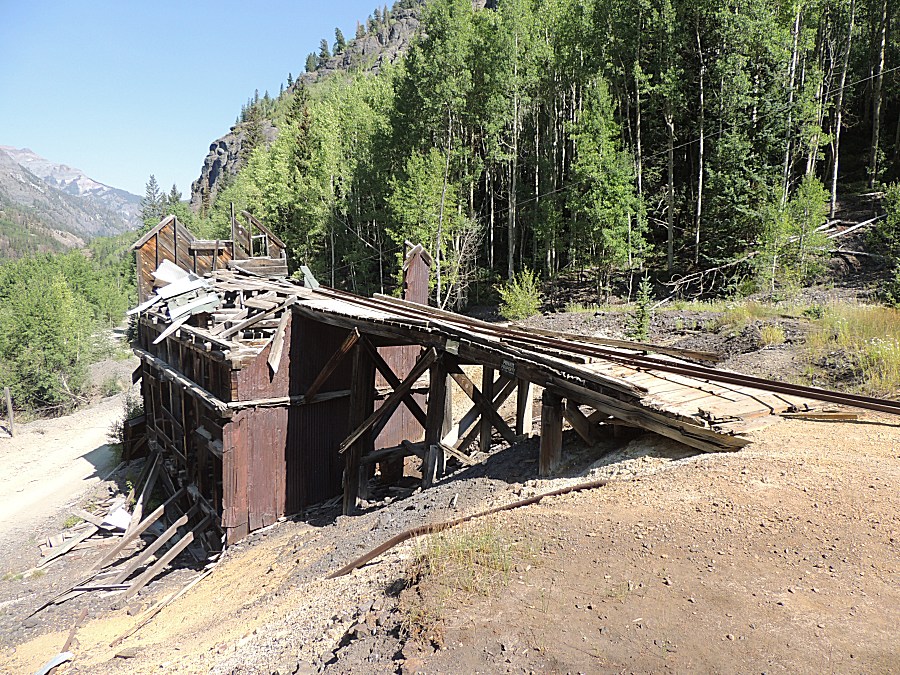
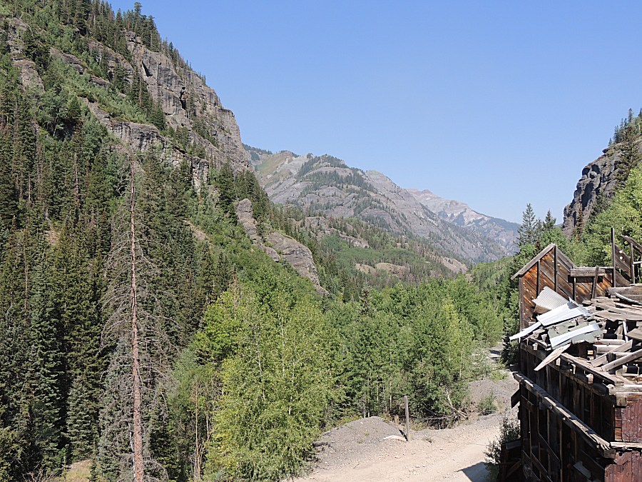
| In quick fashion we come to mine relics to
stop and look. The Michael Breen Group mine & mill. |
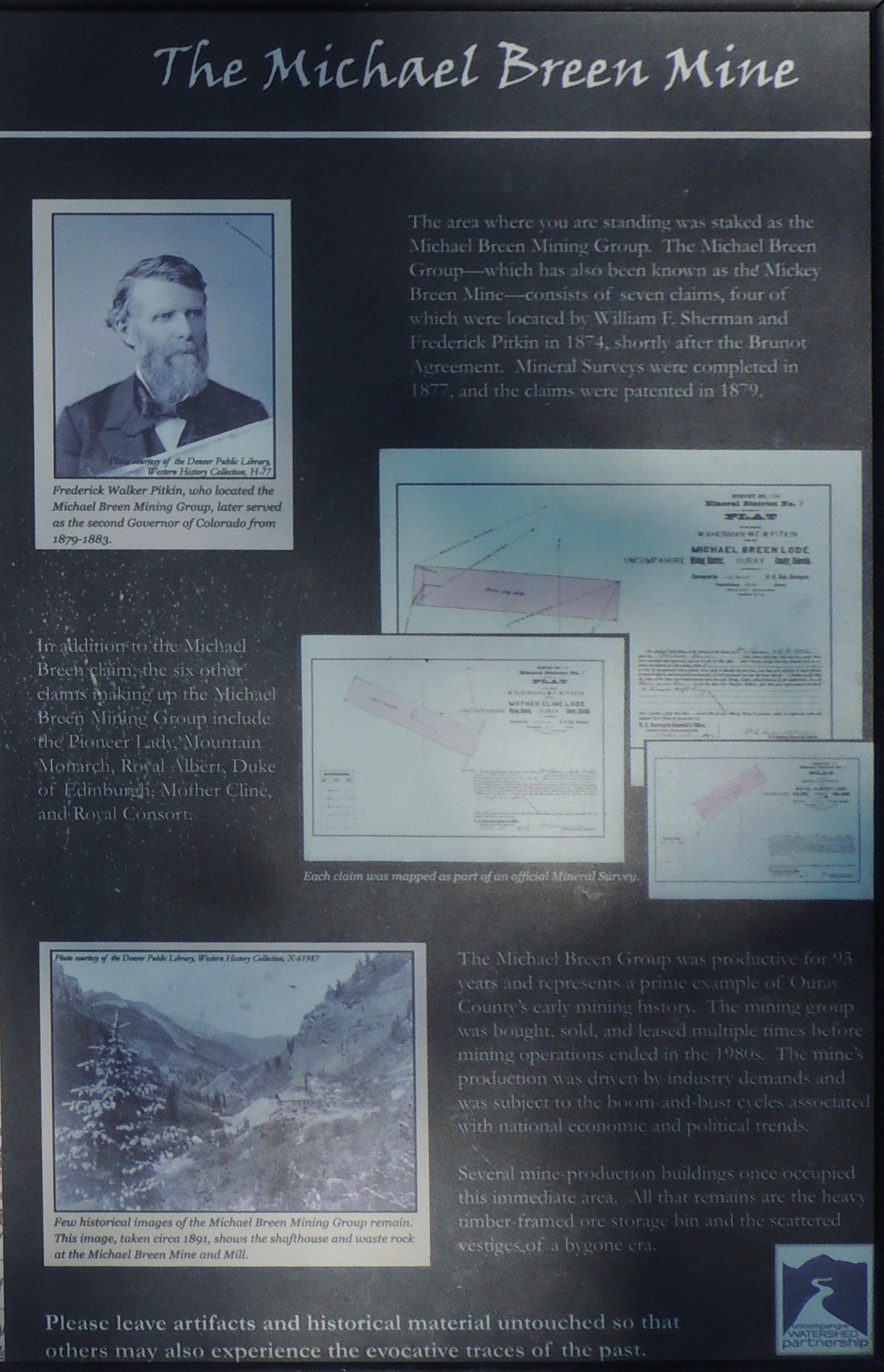
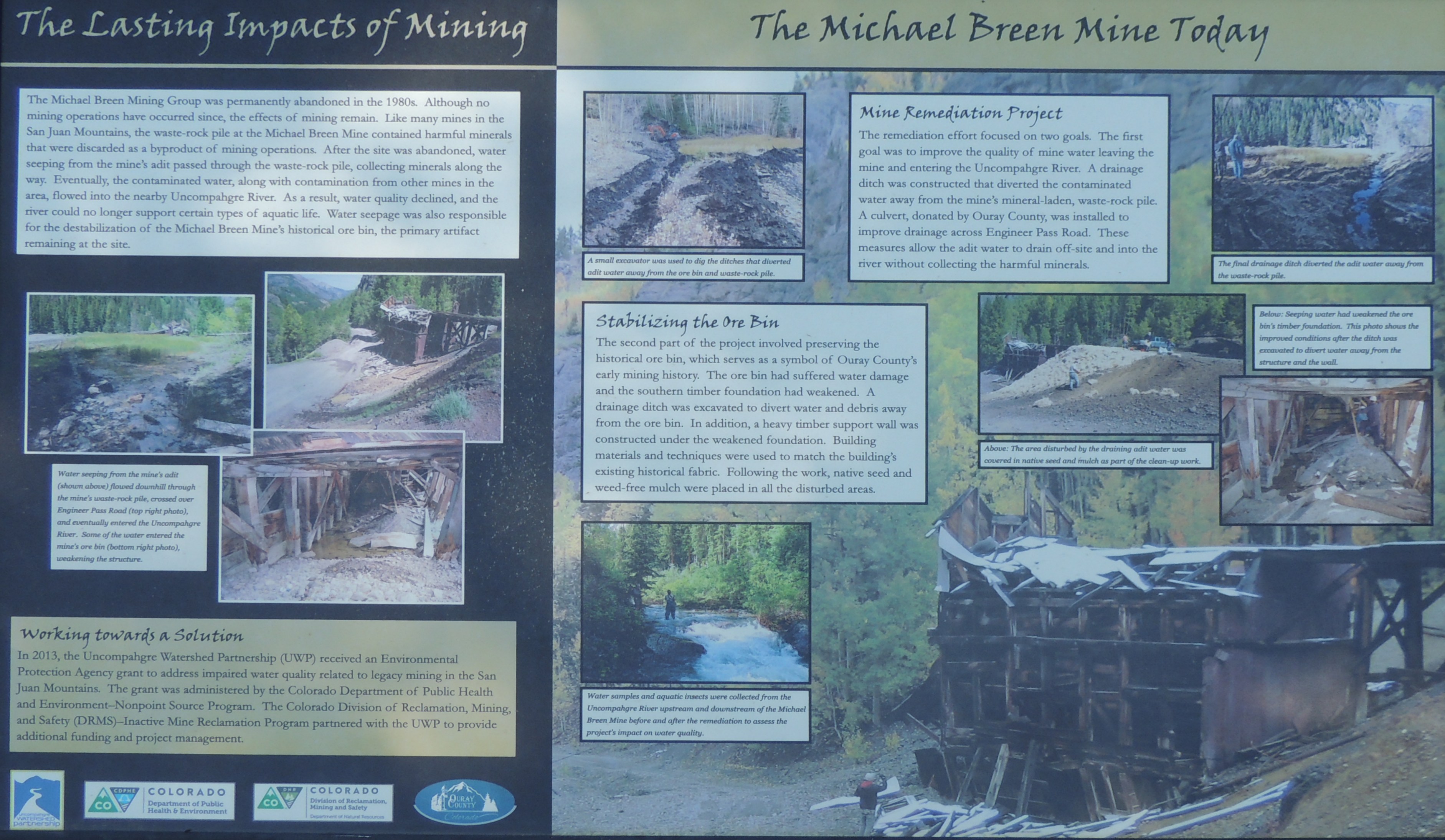
| Info sign The Michael Breen Mine Click for a larger size |
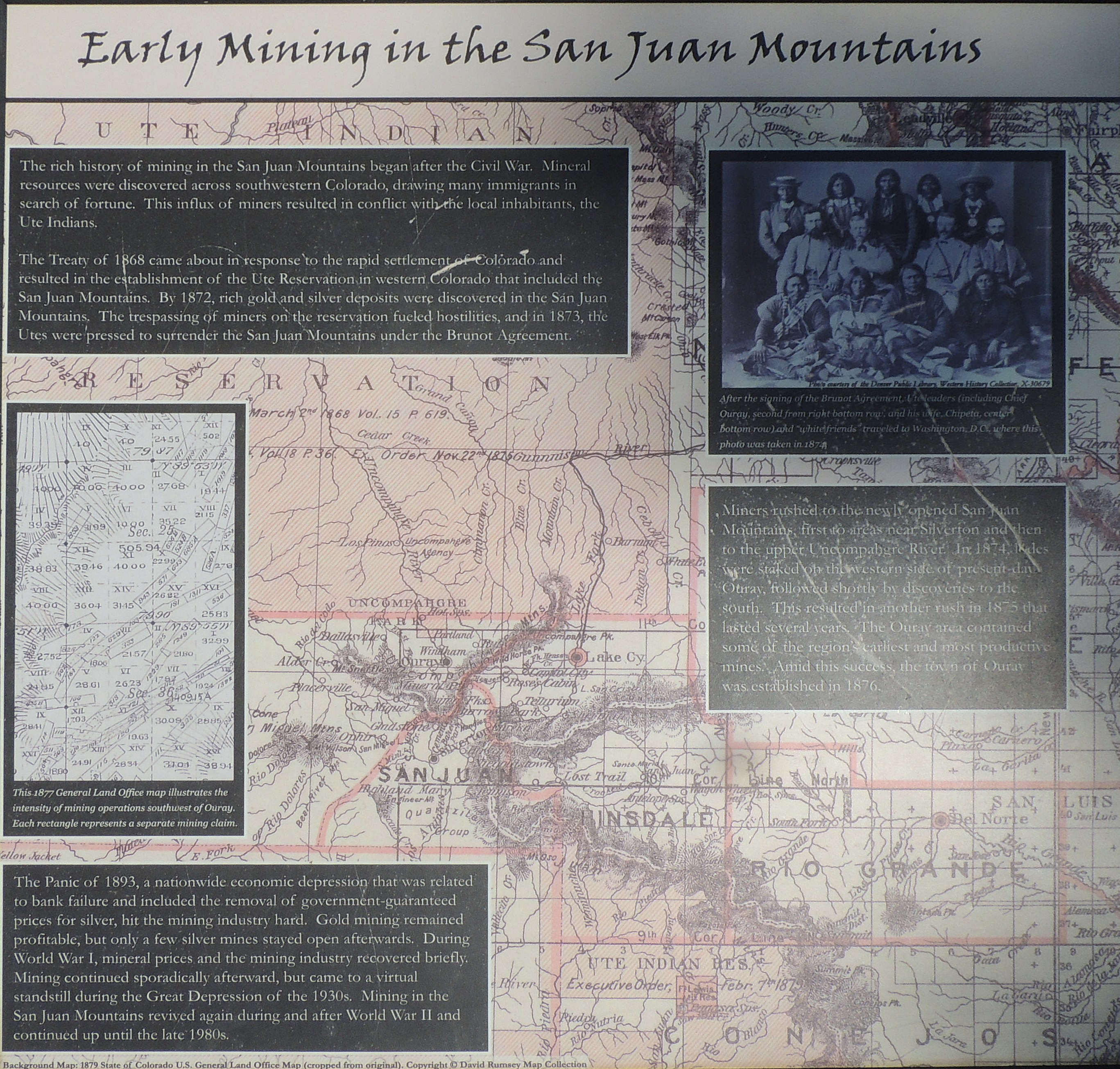
| Info sign Early Mining in the San Juan Mountains Click for a larger size |
| Info sign The Lasting Impacts of Mining Click for a larger size |
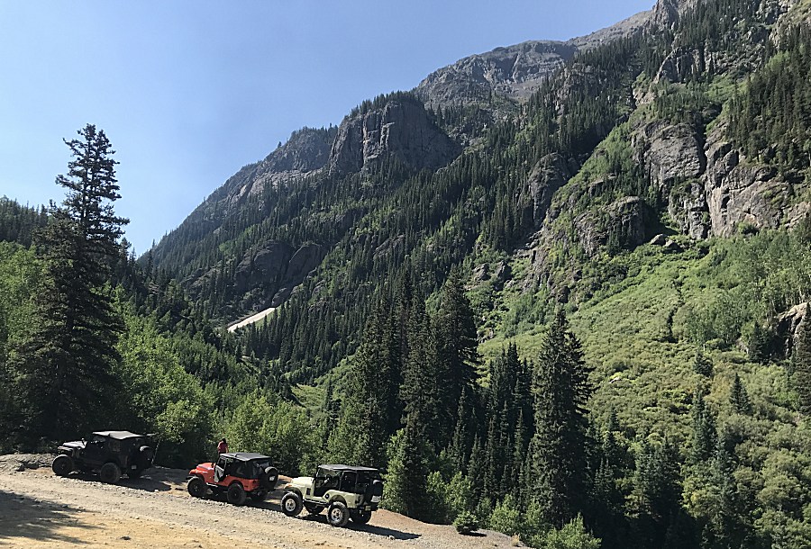
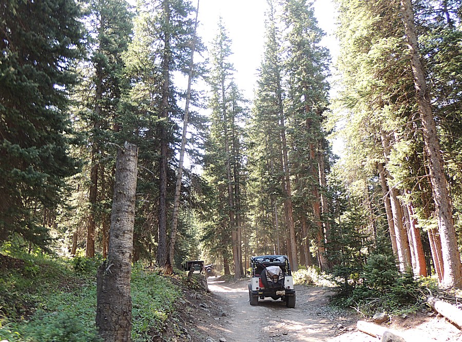
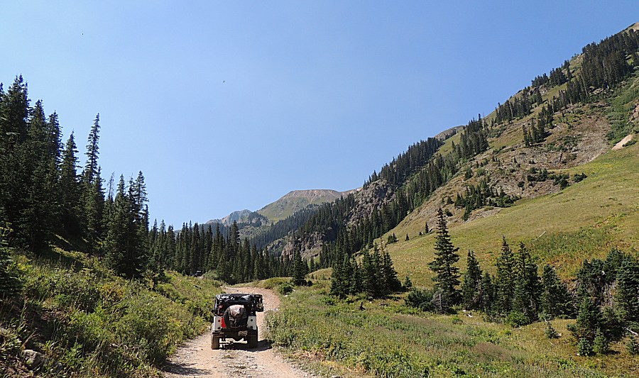
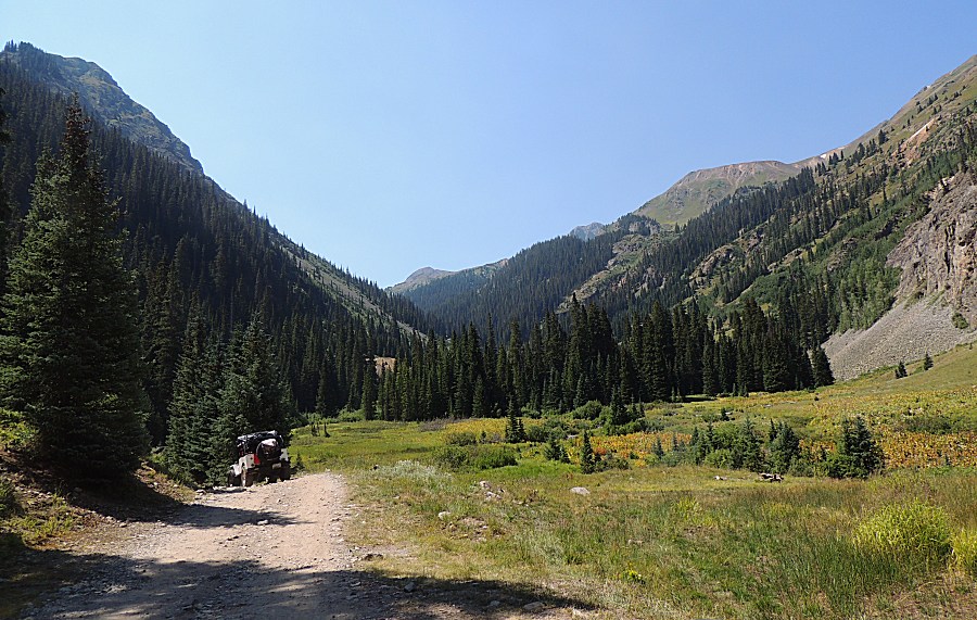
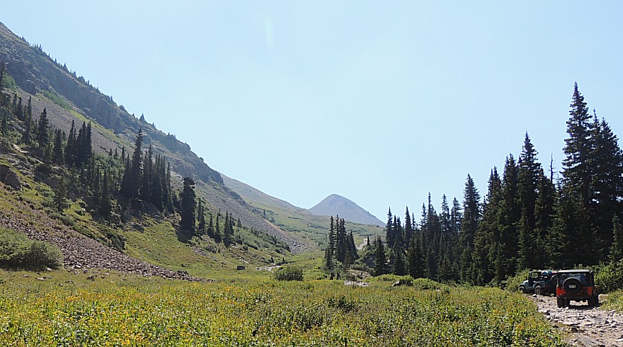
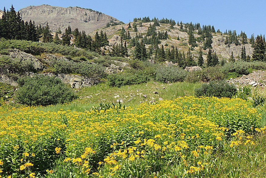
| I believe, right where we entered the nice
stand of pine trees, was the Mineral Creek / Poughkeepsie Gulch
intersection. |
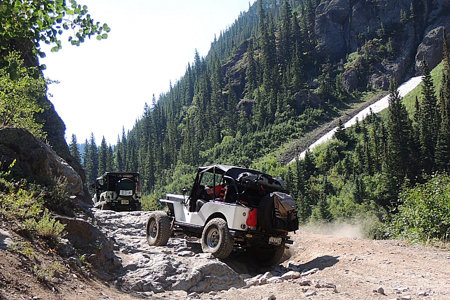
| The
Jeep in the photo is taking perhaps the hardest obstacle all of the
area trails offer. This is an optional item as there is a bypass.
Mostly, the San Juan trails are fairly easy - and wonderfully
picturesque. |
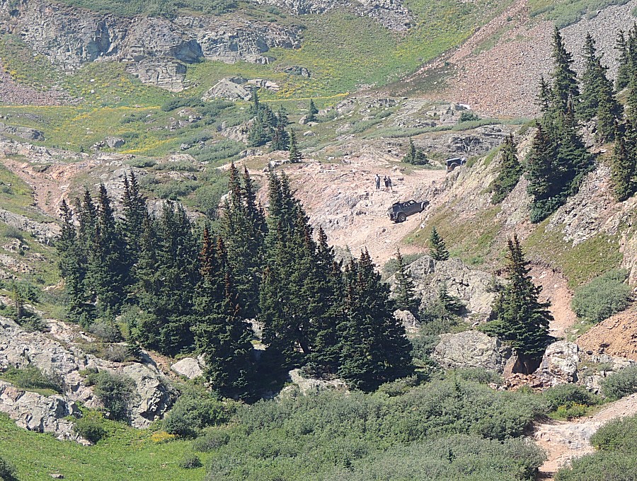
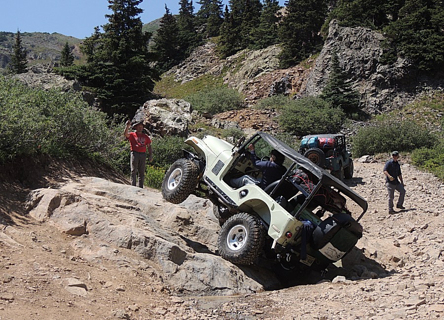
| Nearing
the "difficult" obstacle is another item to toy with (running to the
right is the easy bypass). This little rock thing can be tippy with the
right rear in a hole the left front hangs in the air. Differential
lockers do help. This is what it looks like. There is possibility to flop onto the passenger side if one pushings things a bit out of whack. Just back-up and take a different line. Sure, one could simply drive the easy, flat rocks that are to the right of the jeep - but if you traveled from the east coast - you're going to give it a go (and succeed). |
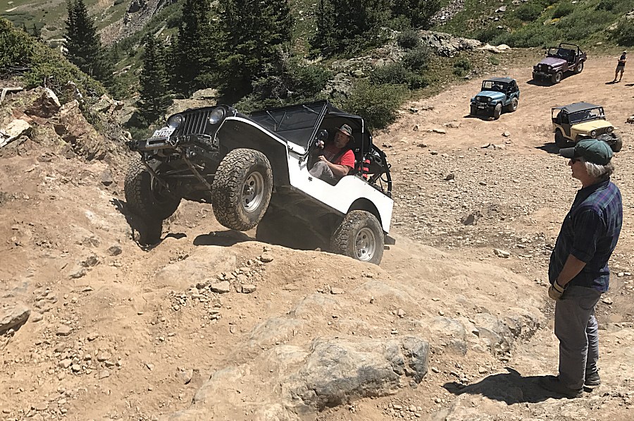
| Now for the main obstacle - climbing a thirty? foot tall slope. |
| Panorama Click for a larger version |
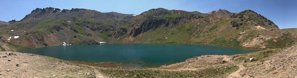
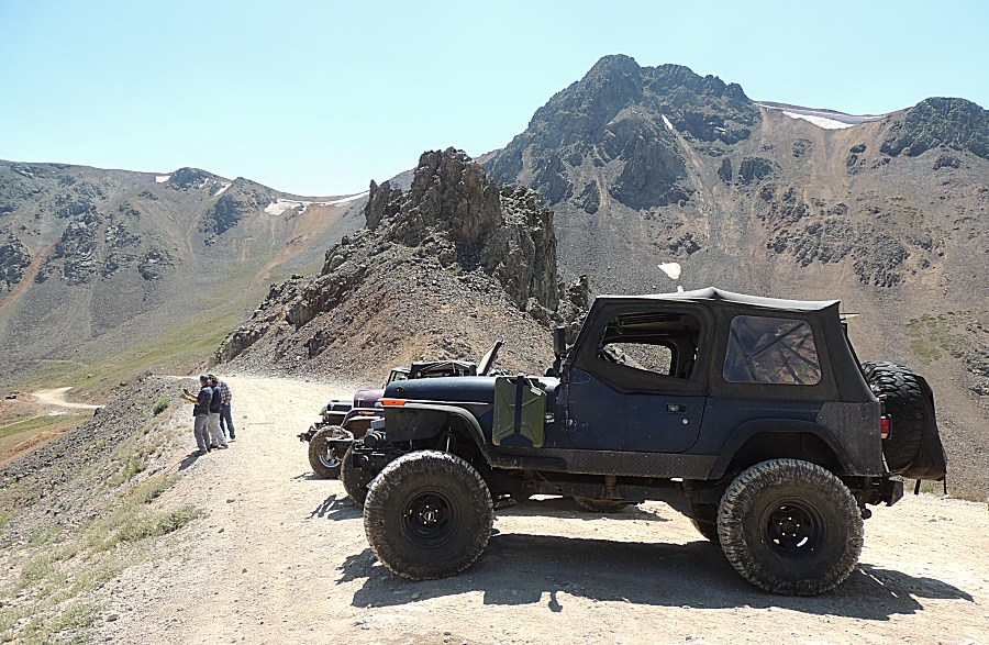
| A fitting scene for the jeep - California Pass
- to head down California Gulch to the Animas Forks townsite. |
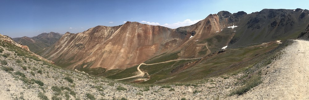
| Panorama Click for a larger size |
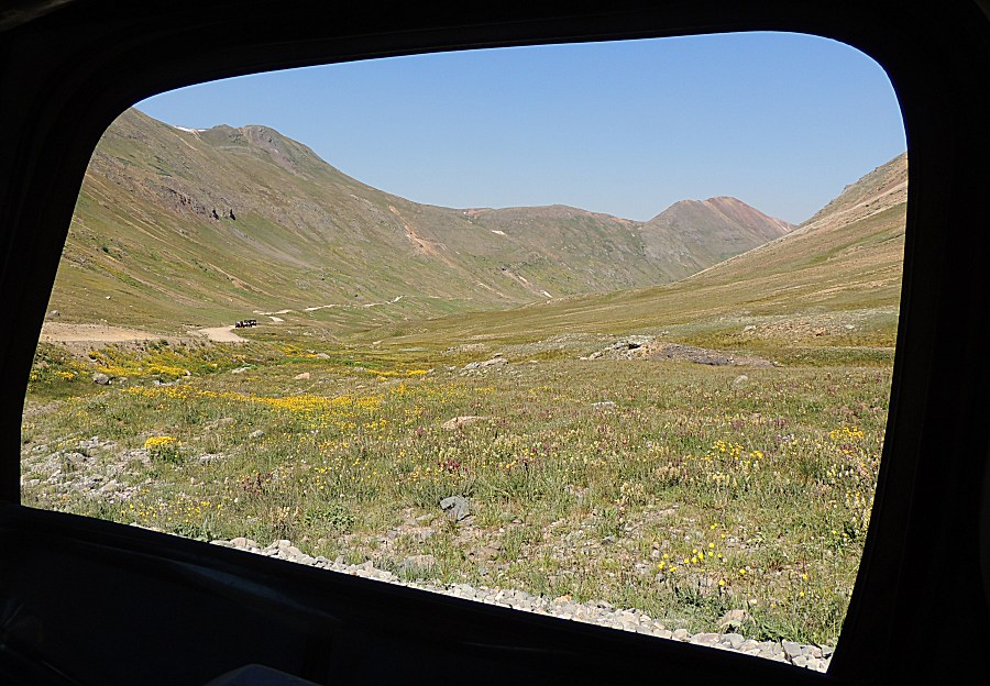
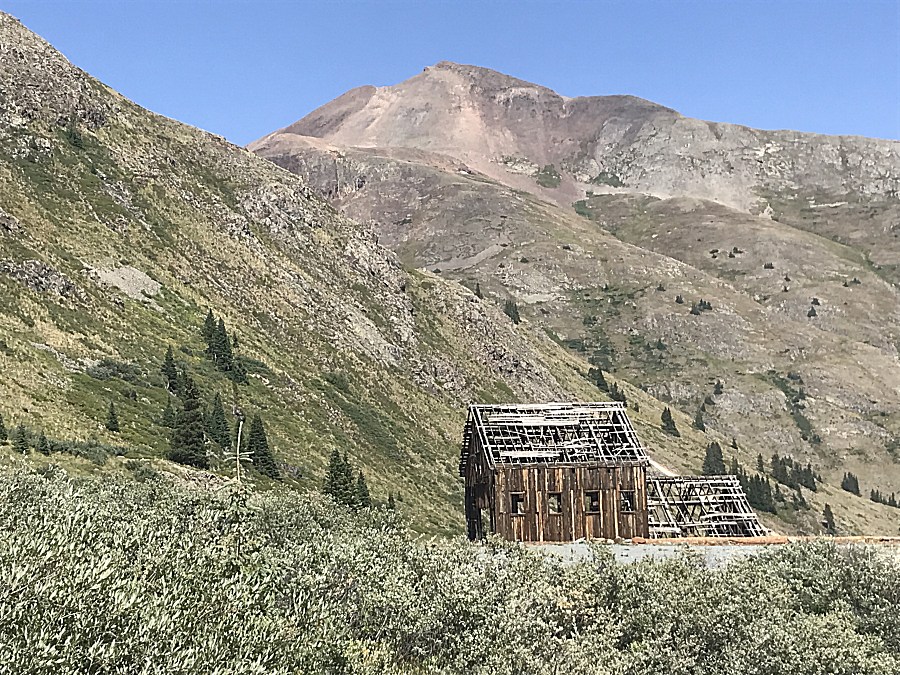
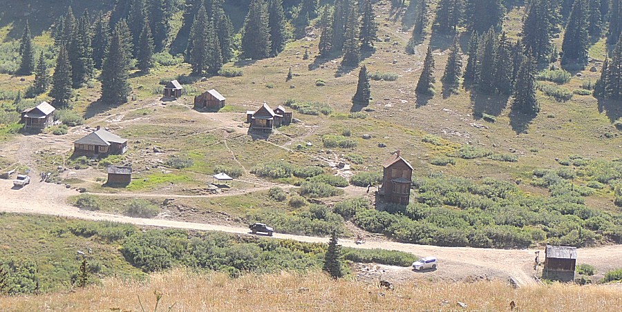
| As of this visit - It's for sale... |
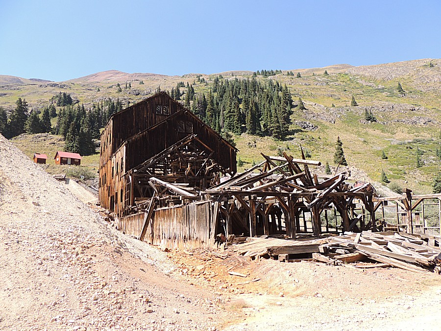
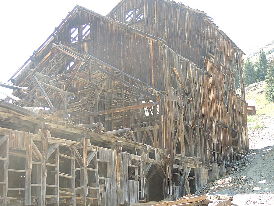
| Down to Animas Forks townsite |
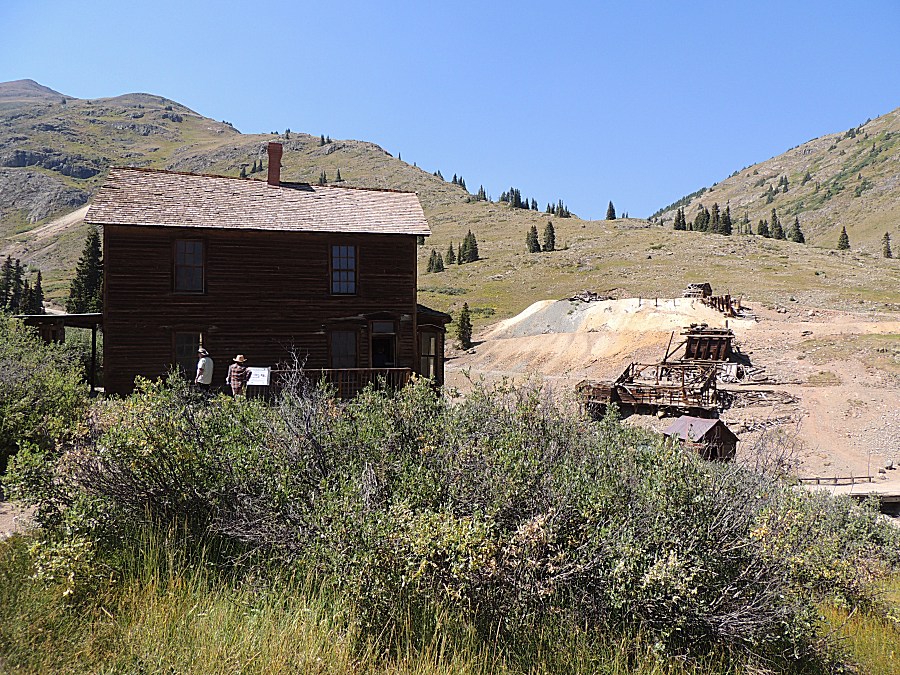
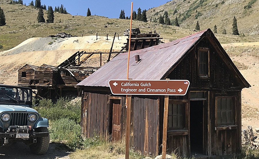
| Center of pic - footings for what must have
been a massive mill. |
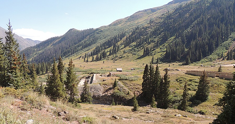
| Down valley is the town of Silverton
(accessible by low clearance car, on a clean / dry road day, with a bit
of care). |
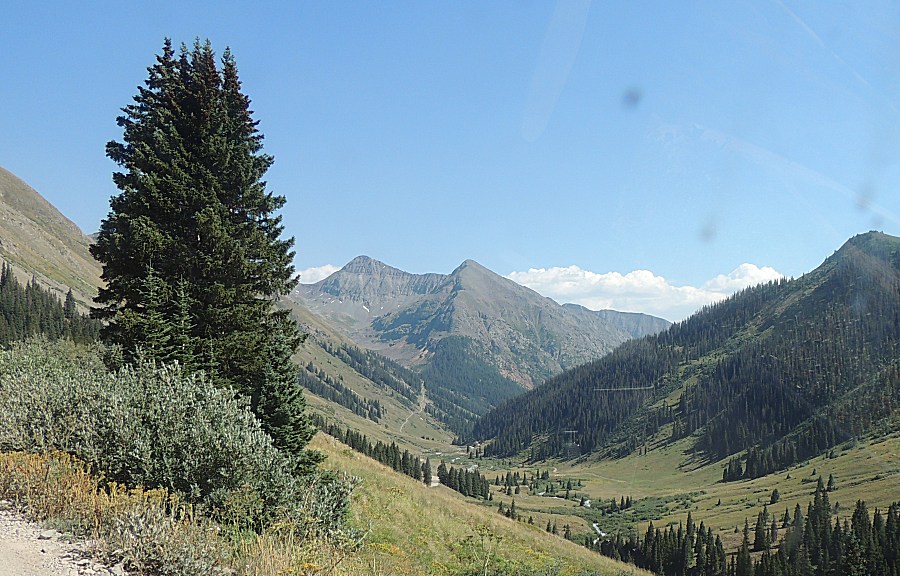
| We're headed to Engineer Pass looking back at
Animas Forks and the massive mill remnants. |
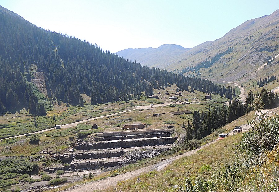
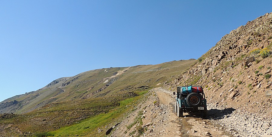
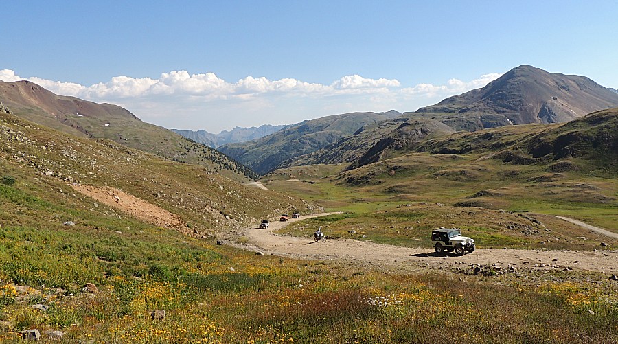
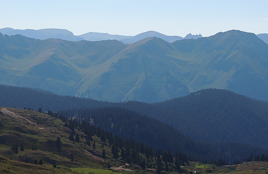
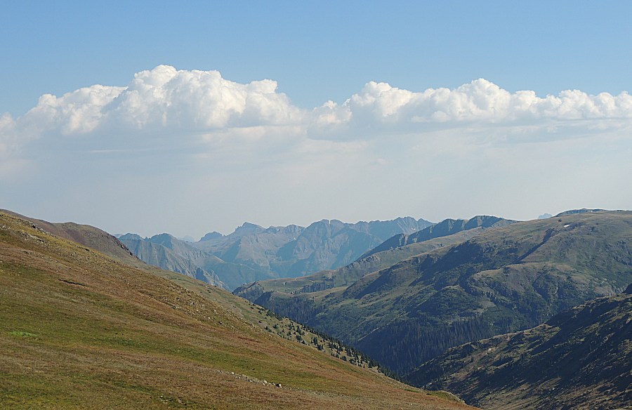
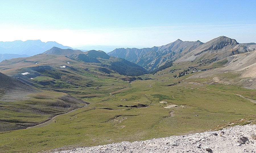
| Views to skim across the tall peaks |
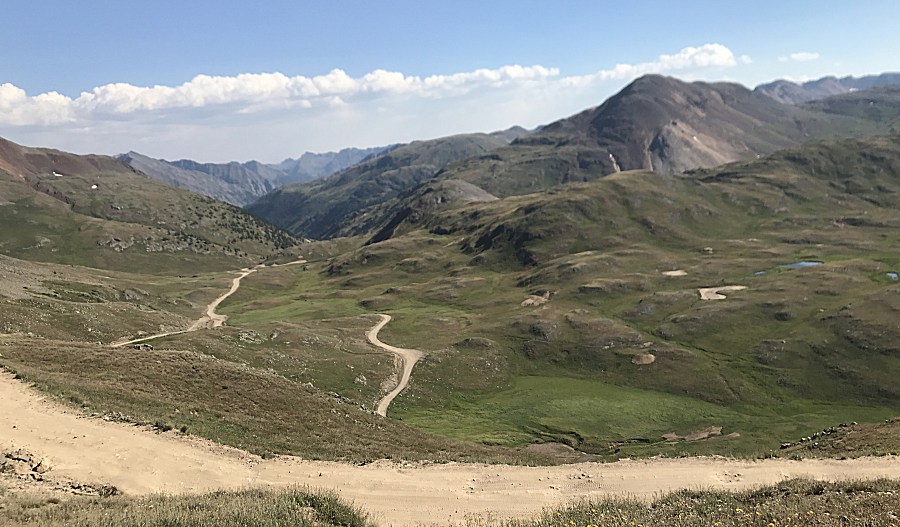
| We deviated off of the main Engineer Pass
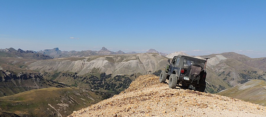
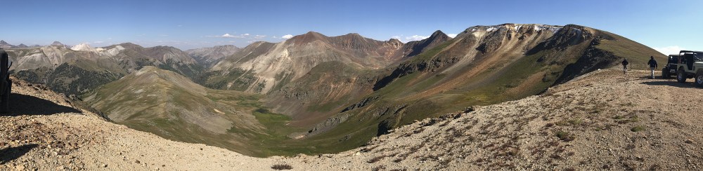
trail to a nearby dead-end spur for some pictures. |
| Panorama Click for a larger size |

| Panorama Click for a larger size |
| Panorama Click for a larger size |
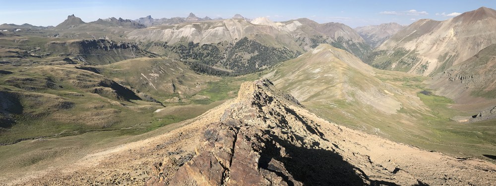
| Some of the pictures make it look like the
jeep was out on an edge to fall off - nope. Panorama Click for a larger size |
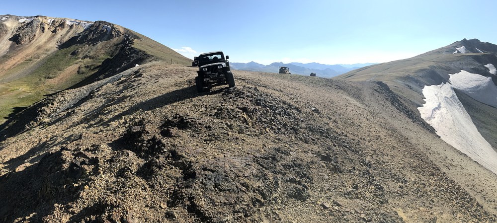
| or maybe this one - rotated a few degrees
clockwise. |
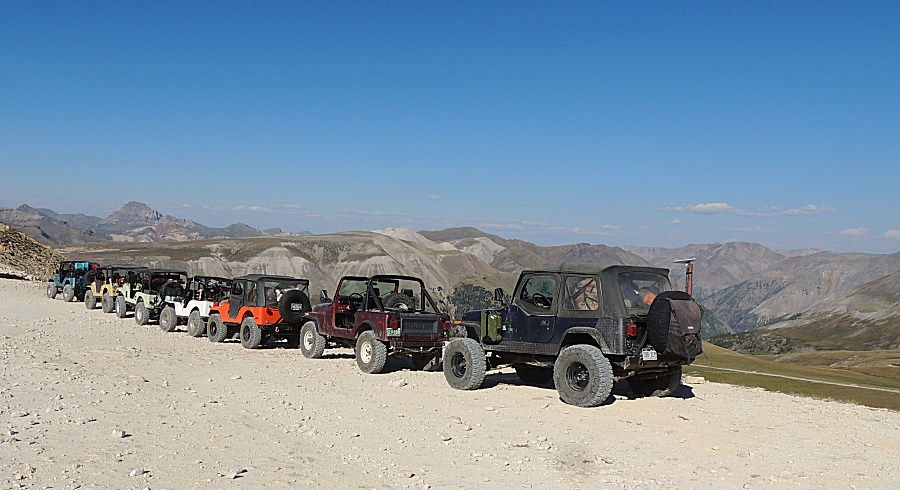
| Panorama Click for a larger size |

| Panorama Click for a larger size |

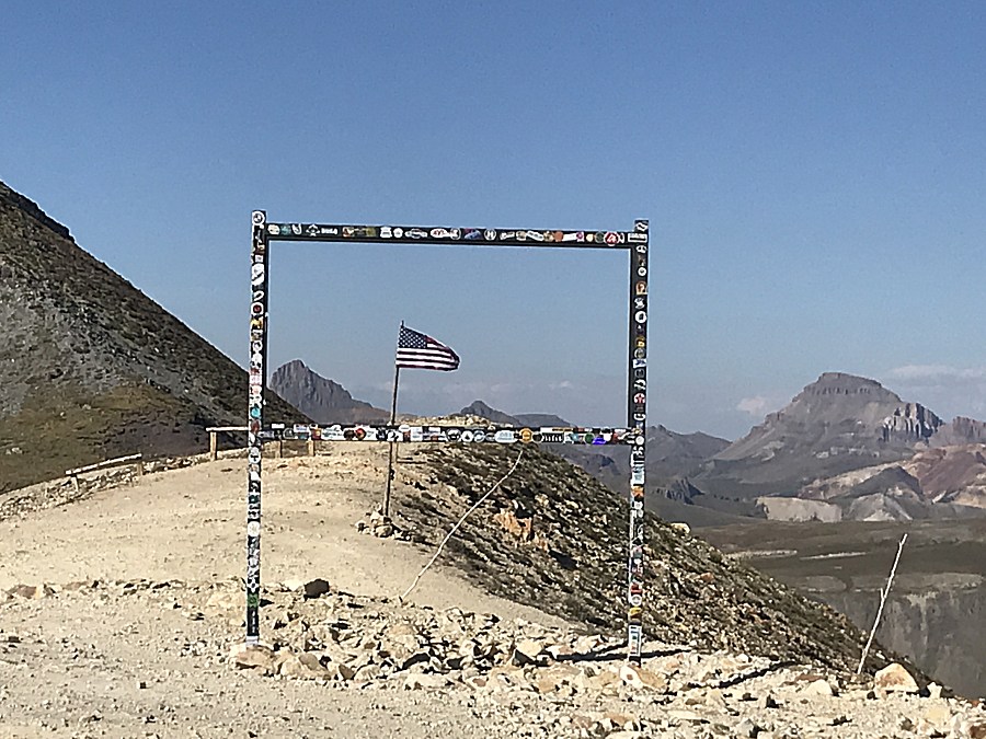
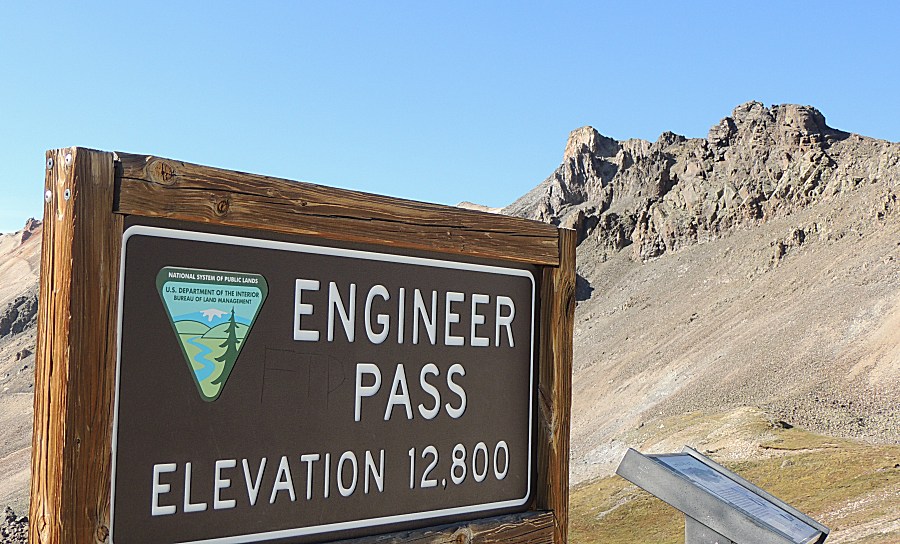
| Mid July @ 12,800 Feet (3901 meters) |
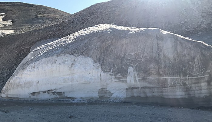
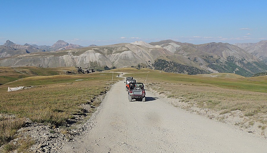
| Now
to find camp. At the right edge of the picture - just into the trees
will be camp. It's up high, we might have a cool / cold night sleeping. |
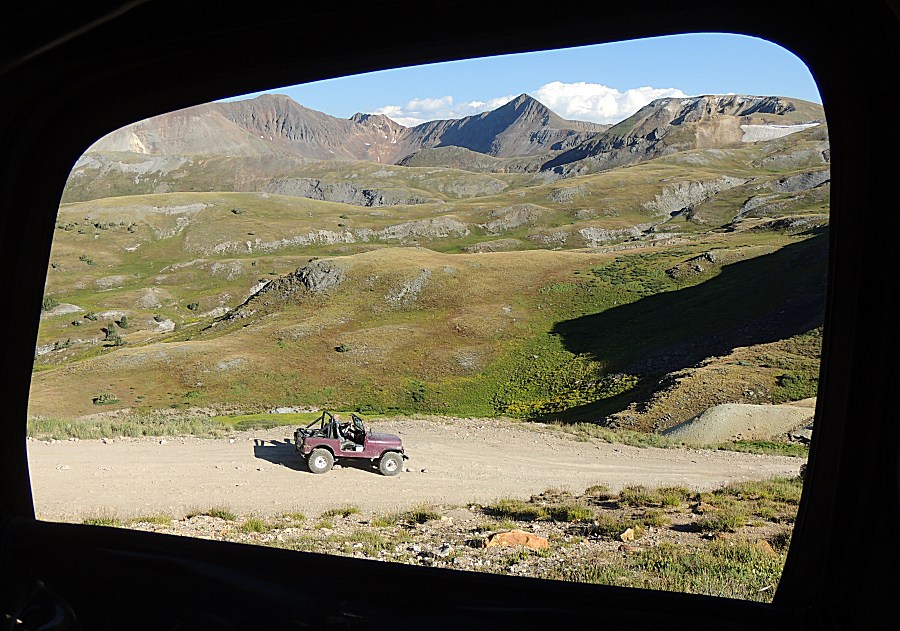
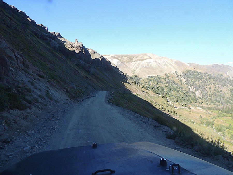
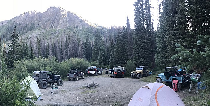
| Camp |
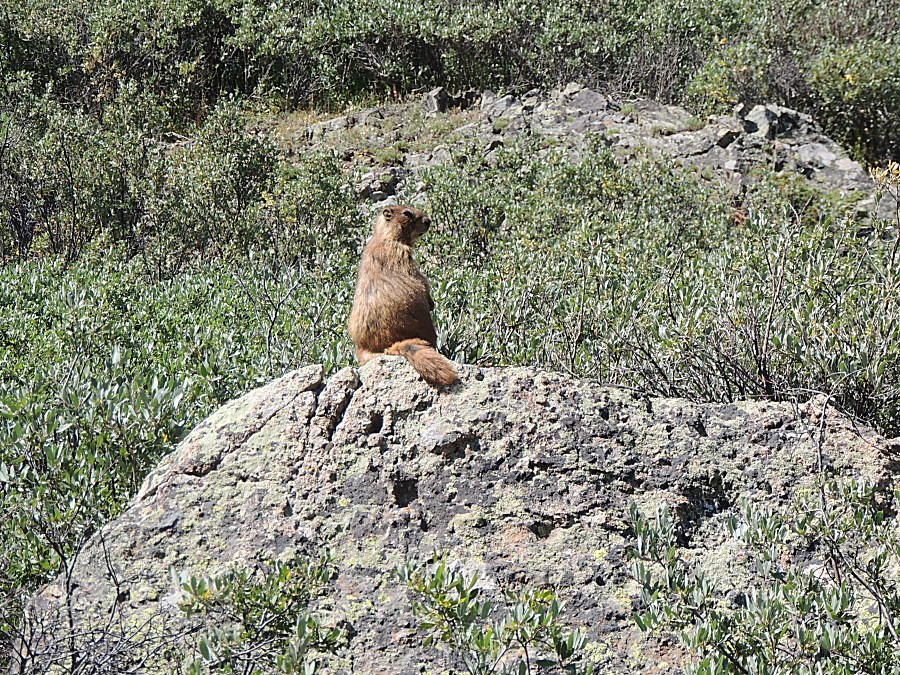
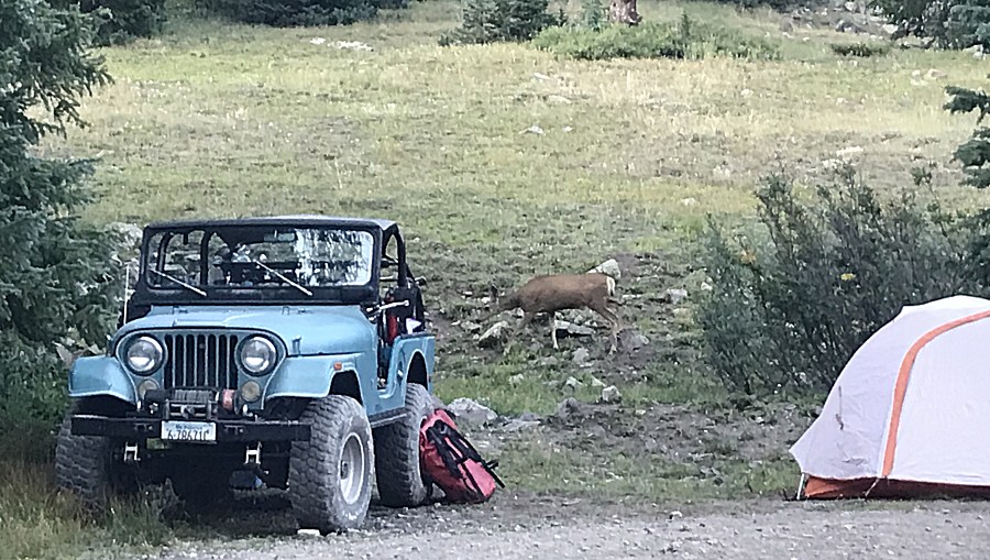
| Wildlife |
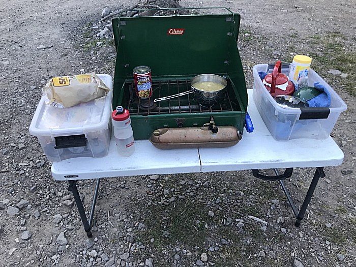
| Dinner. That soup can will come in handy
tomorrow. |