2025 San Juan's & Yampa Bench Road
|
Day
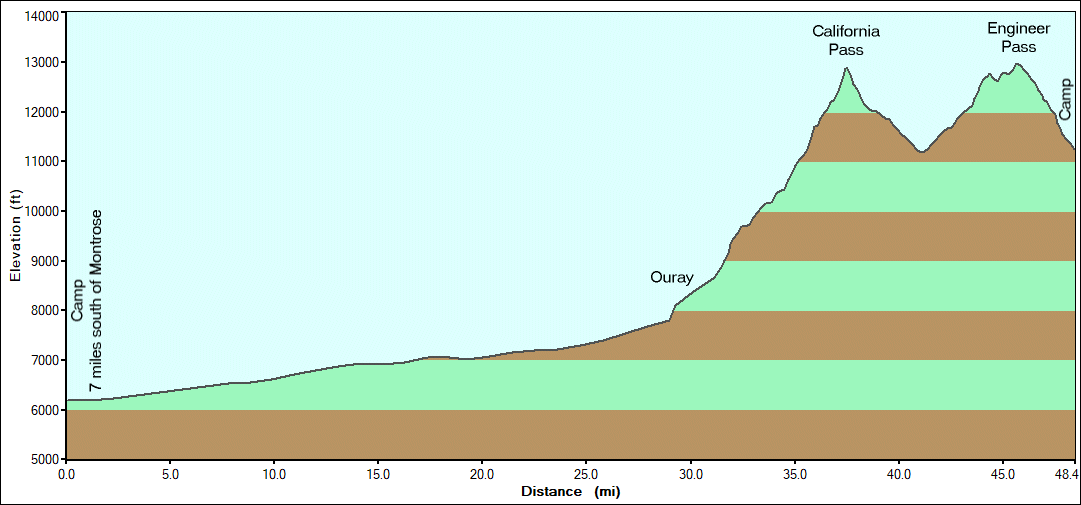
2 for the full trip but the first day for trails - Mineral Creek >
Poughkeepsie Gulch > California Pass > Engineer Pass & camp
on the trail. The optional obstacles on Poughkeepsie Gulch will be the
most difficult for the trip - a nice challenge. |
|
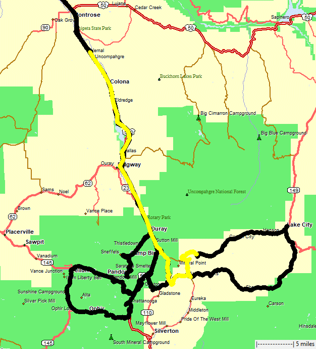
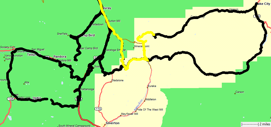
1
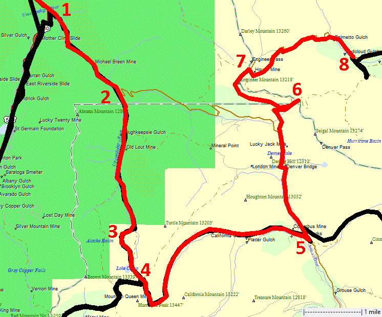
to 2 is Mineral Creek. 2 to 4 is Poughkeepsie Gulch. Spot 3 is the
difficult obstacle spot. 4 to 5 California Pass. 5 is the Animas Forks
townsite. 5 to 8 Engineer Pass. |

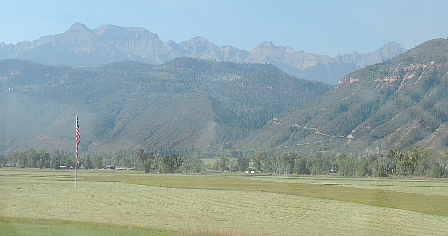
| Our nice flag in a picturesque setting. On a
different day, it'll be a bit more proud. |
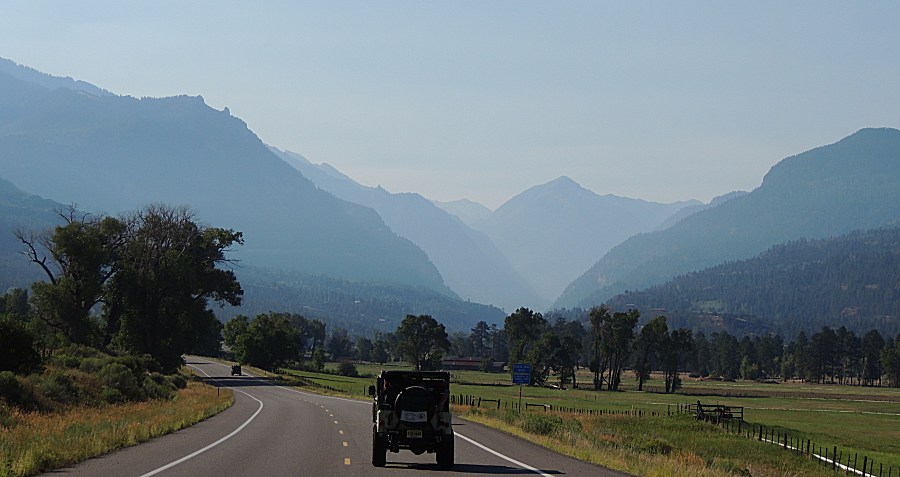
| A bit of haze - it is what it is. |
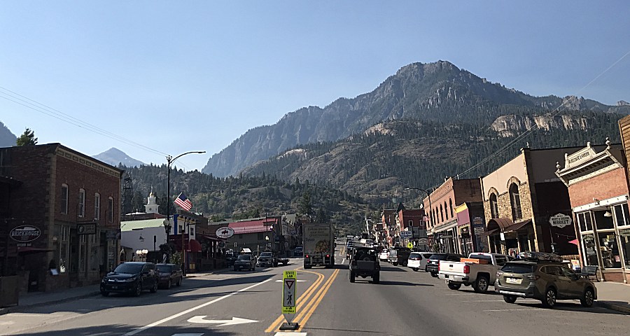
| Downtown Ouray |
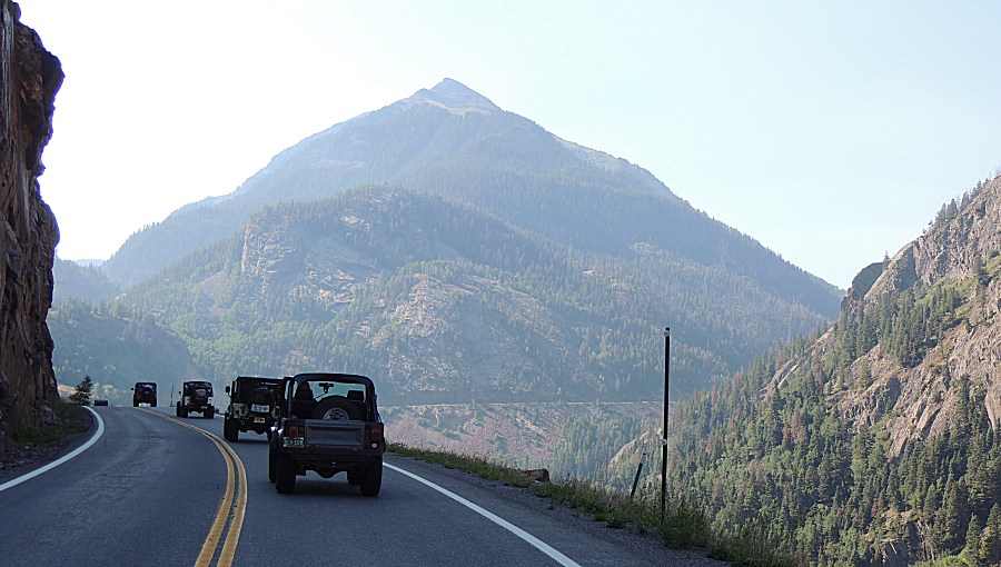
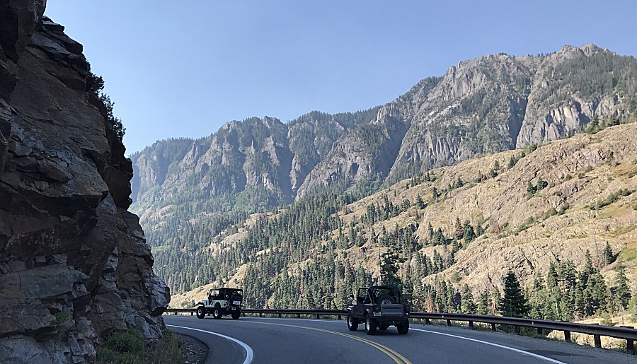
| US-550, The Million Dollar Highway |
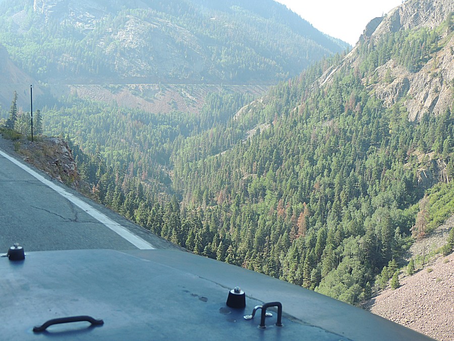
| Bah - guardrails... |
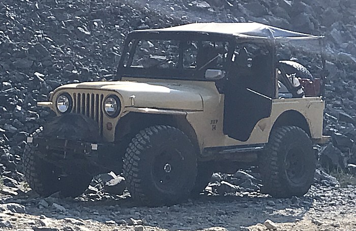
| Most of the group Far to near Montana (blue-ish), Wyoming (orange), ?Maryland? (white), ?Maryland? (tan), Colorado (purple), Colorado (dark blue) |
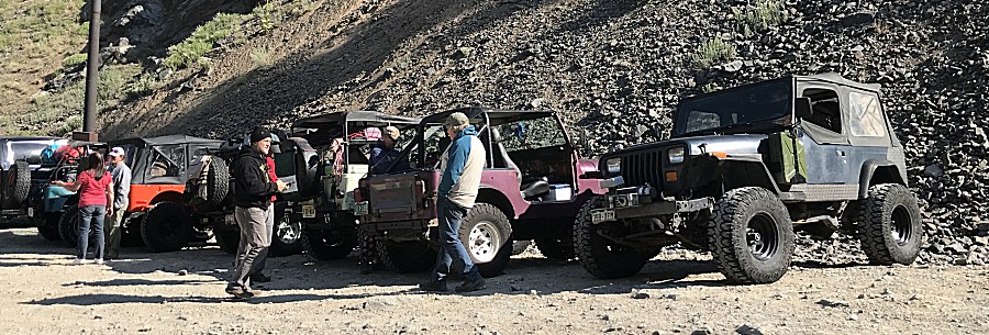
| ...and Florida! (tan) |
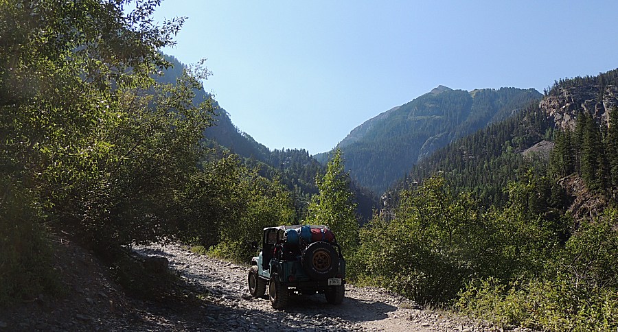
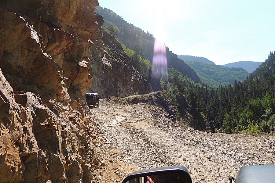
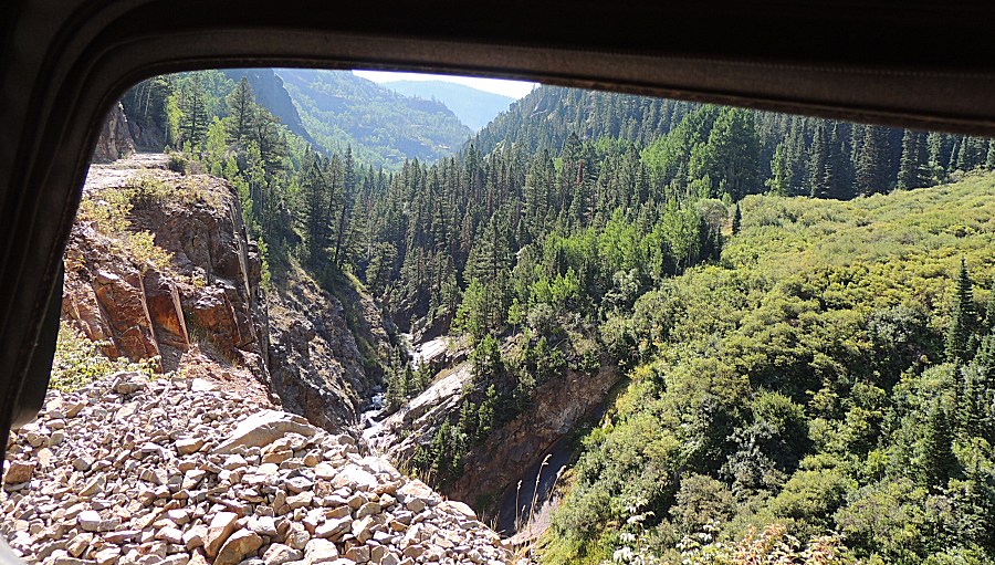
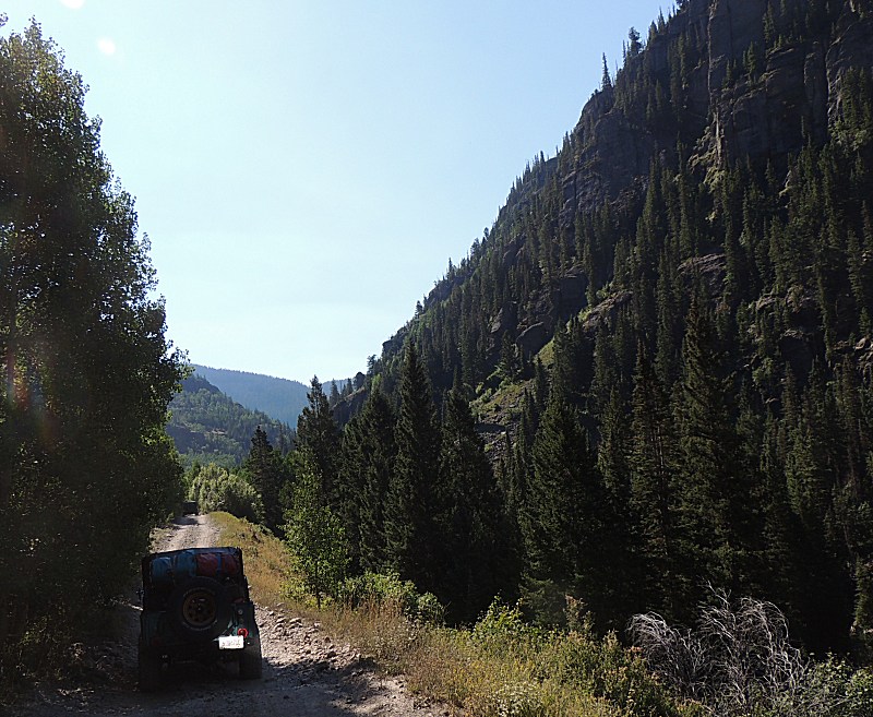
| And we're off! The trail is Mineral Creek. We will travel the western half of the trail and will turn south onto Poughkeepsie Gulch. |
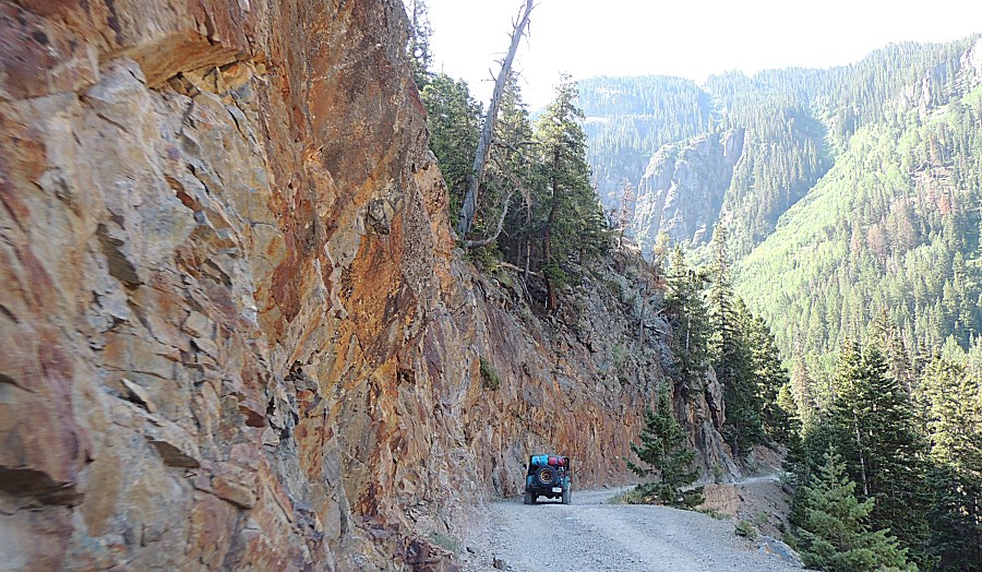
| This trail has a couple iconic photo sections
- this is a first visit for me. |
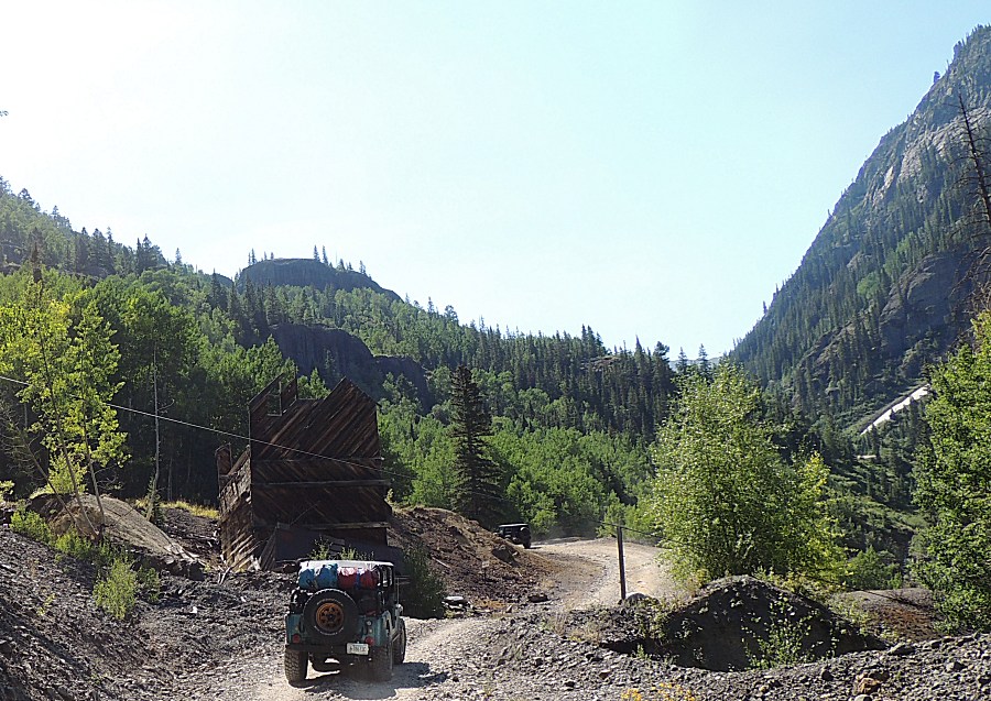
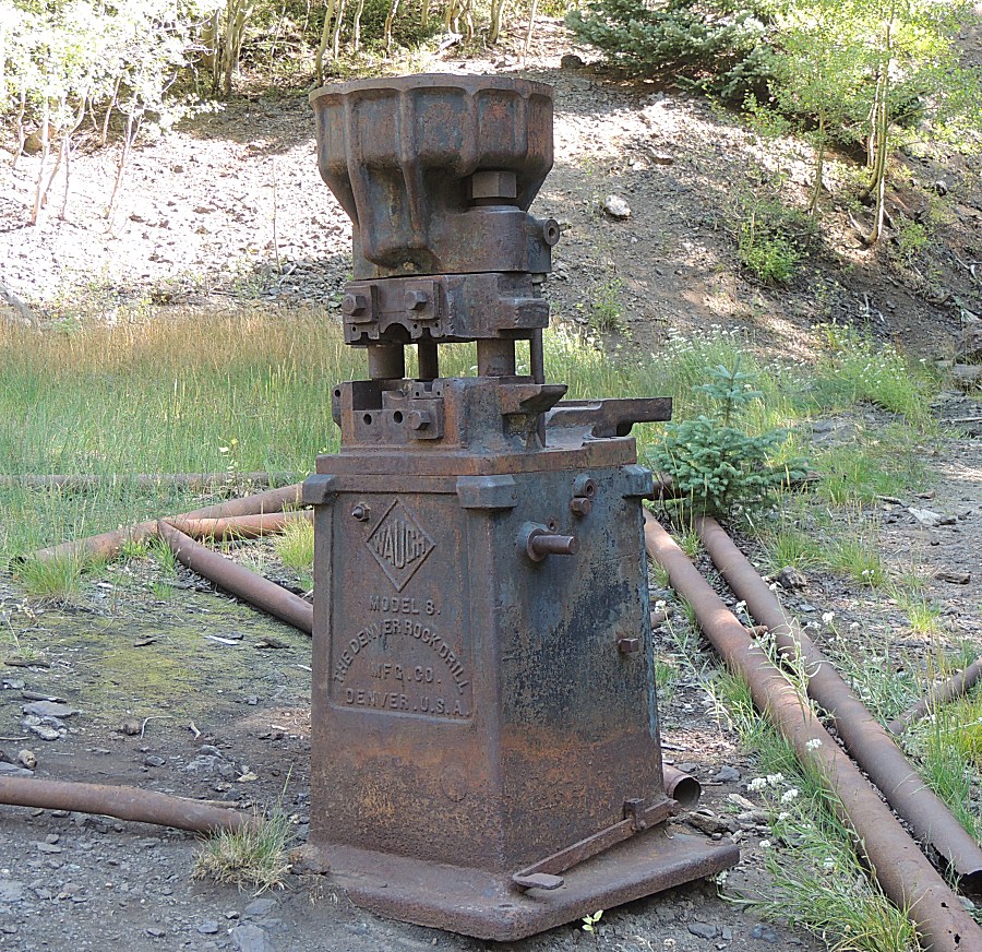
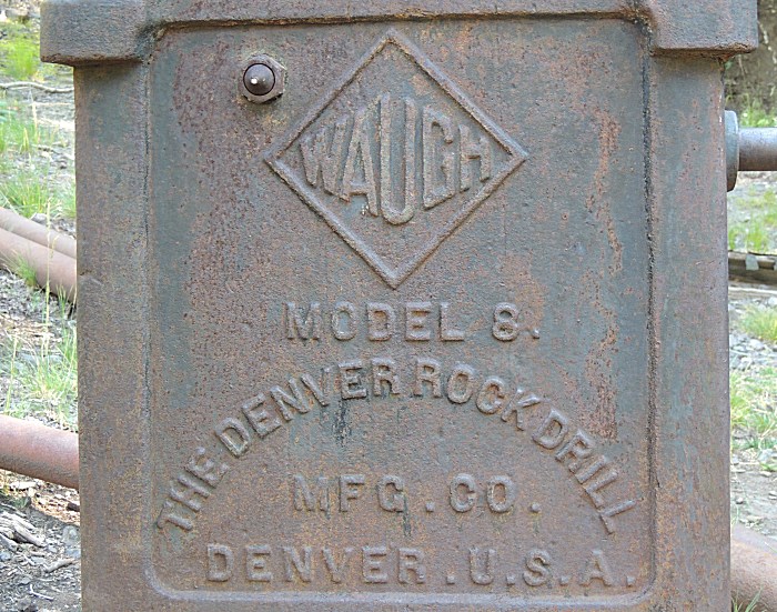
| In quick fashion we come to mine relics to
stop and look. The Michael Breen Group mine & mill. |
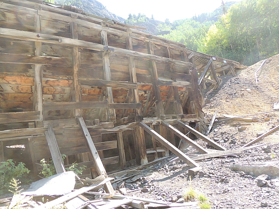
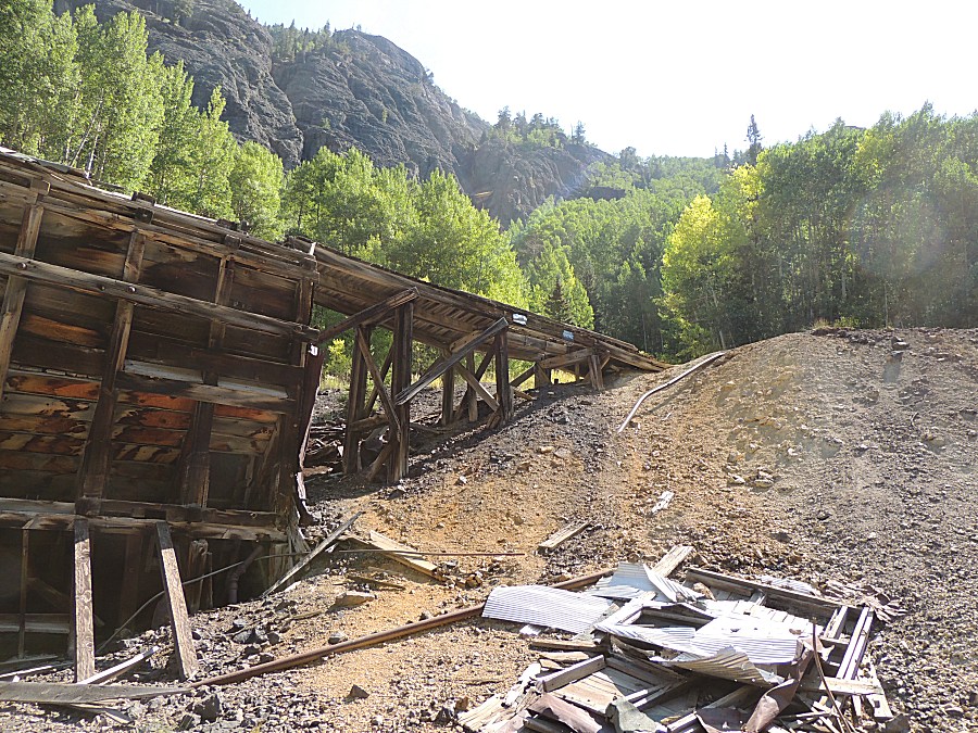
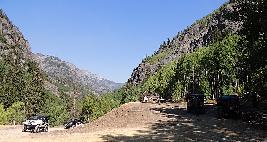
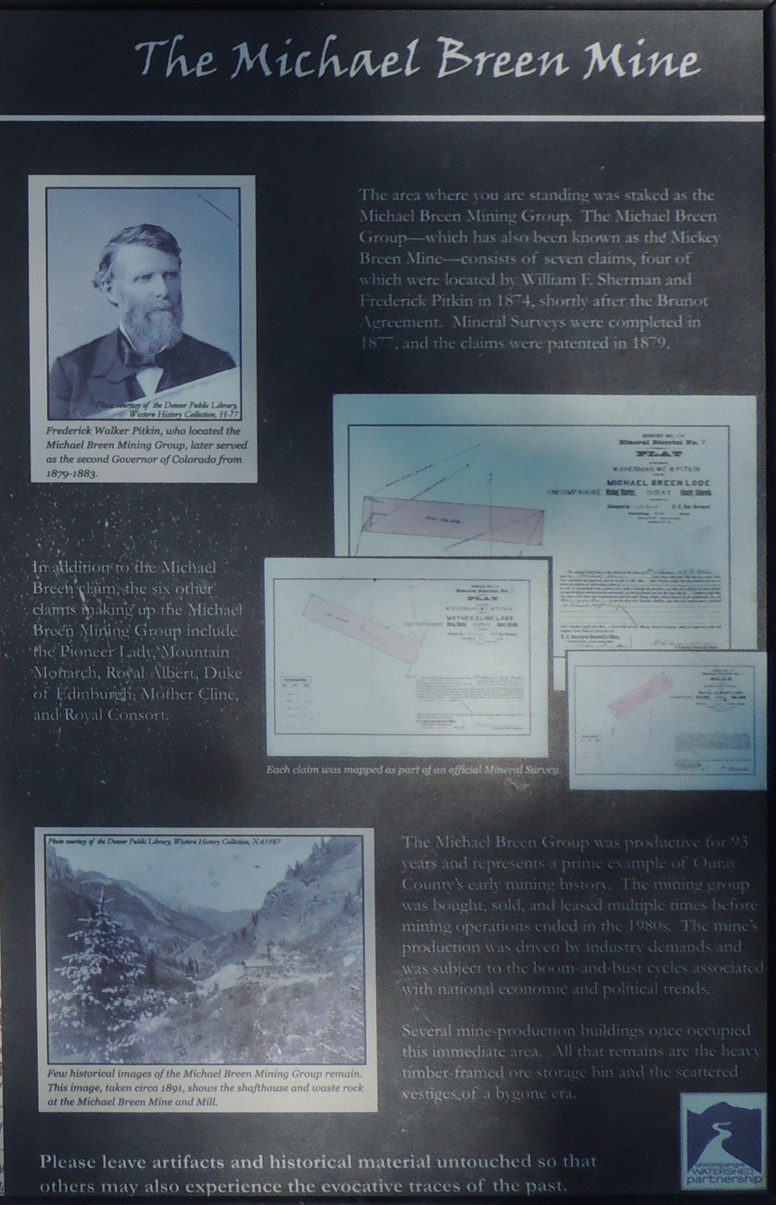
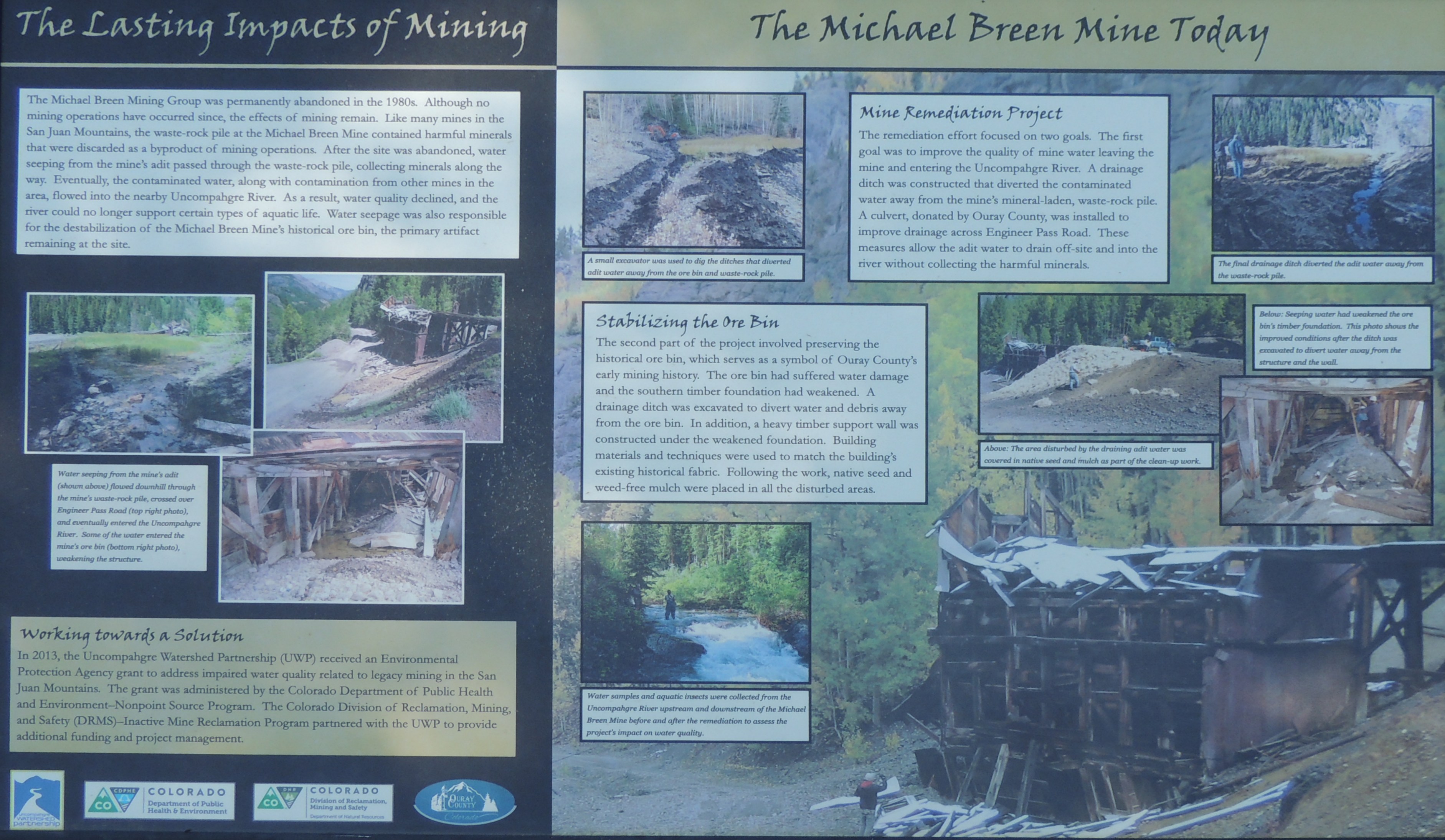
| Info sign The Michael Breen Mine Click for a larger size |
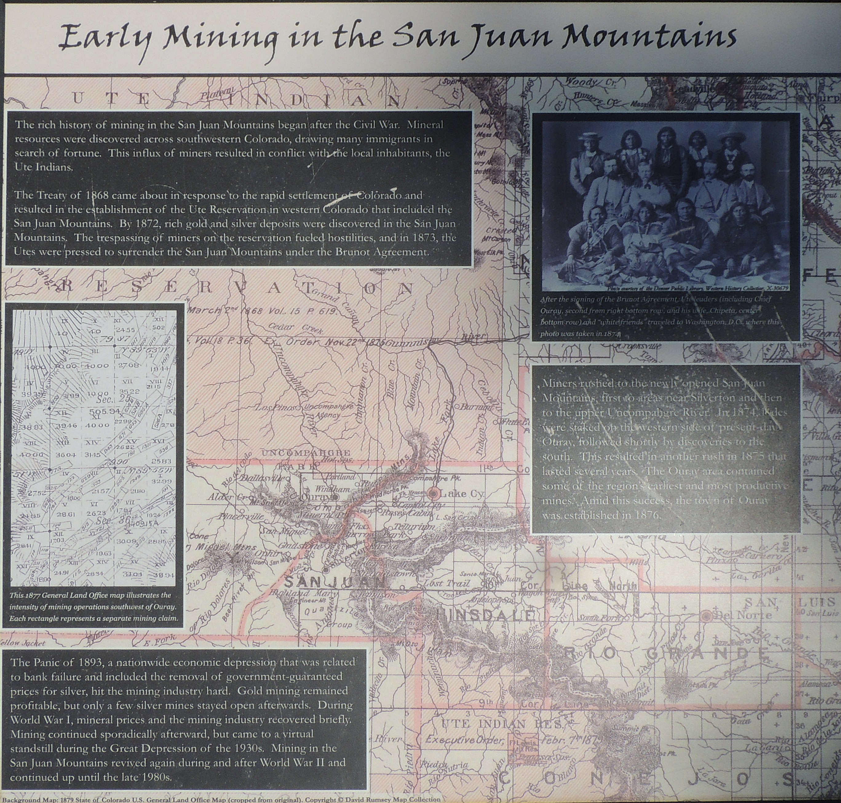
| Info sign Early Mining in the San Juan Mountains Click for a larger size |
| Info sign The Lasting Impacts of Mining Click for a larger size |
| Right of center, ground level, is the entrance
- purposefully caved in to keep explorers out. |
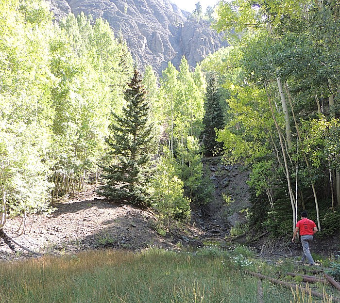
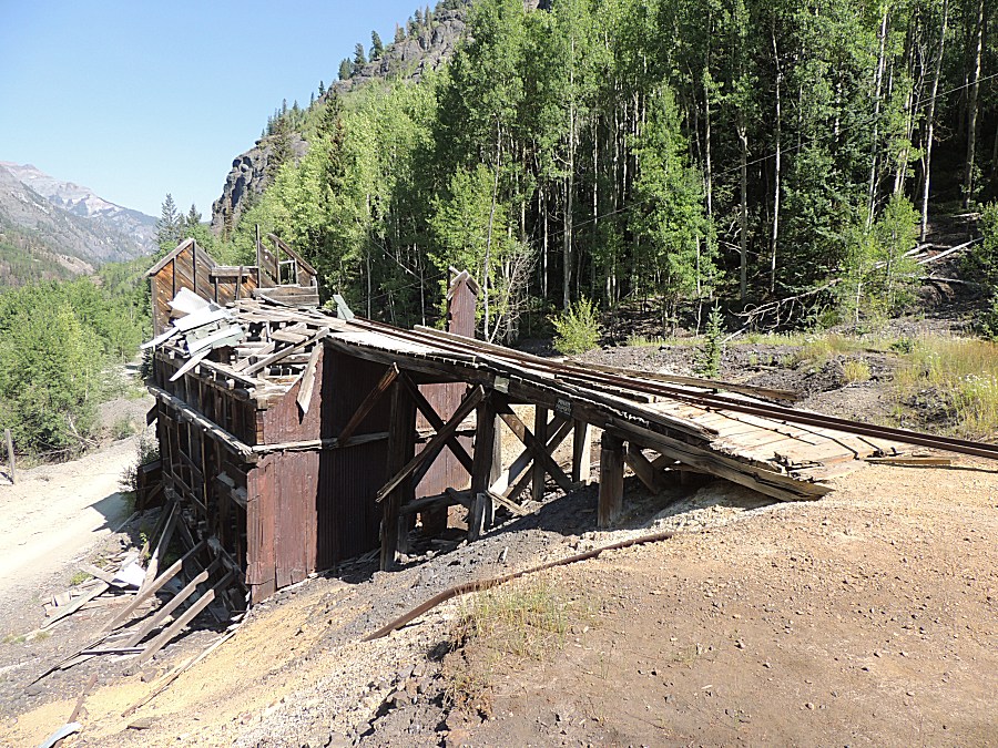
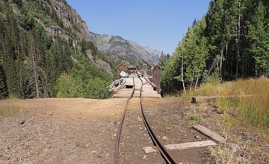
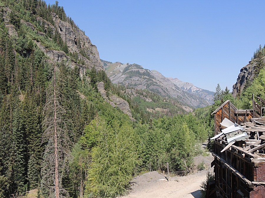
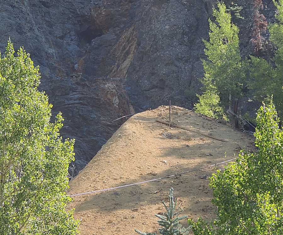
| A "tan fan" of tailings rock - indication that
a mine is here. A cable passing through the picture - often to carry
ore bins. |
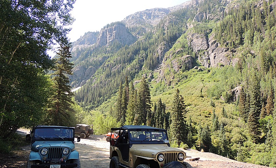
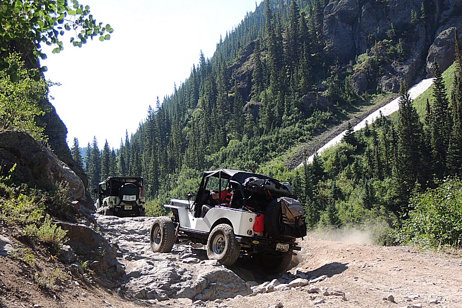
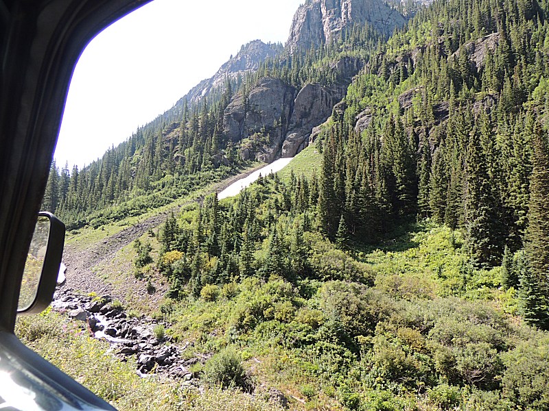
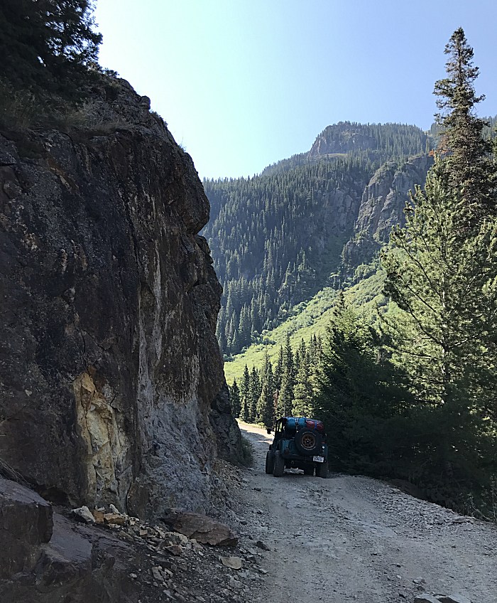
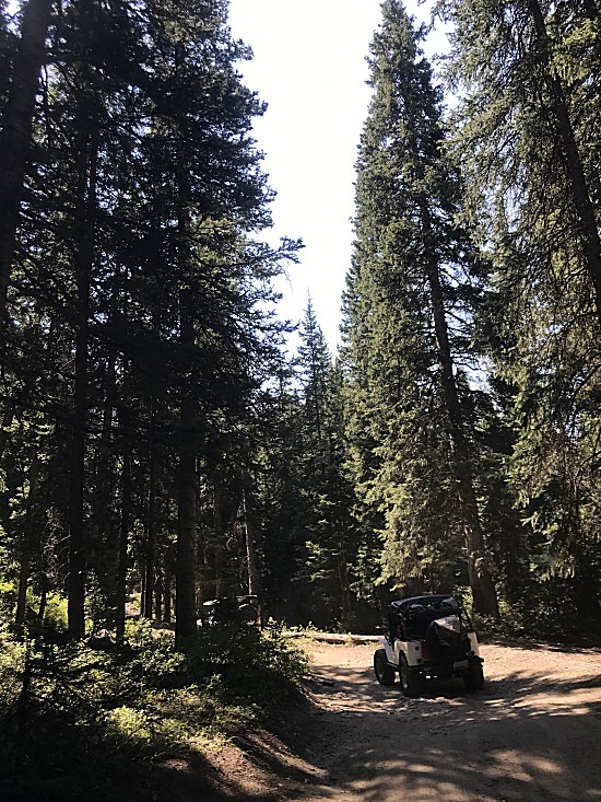
| I believe, right where we entered the nice
stand of pine trees, was the Mineral Creek / Poughkeepsie Gulch
intersection. |
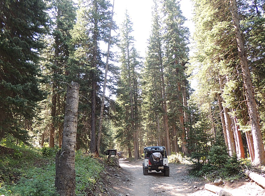
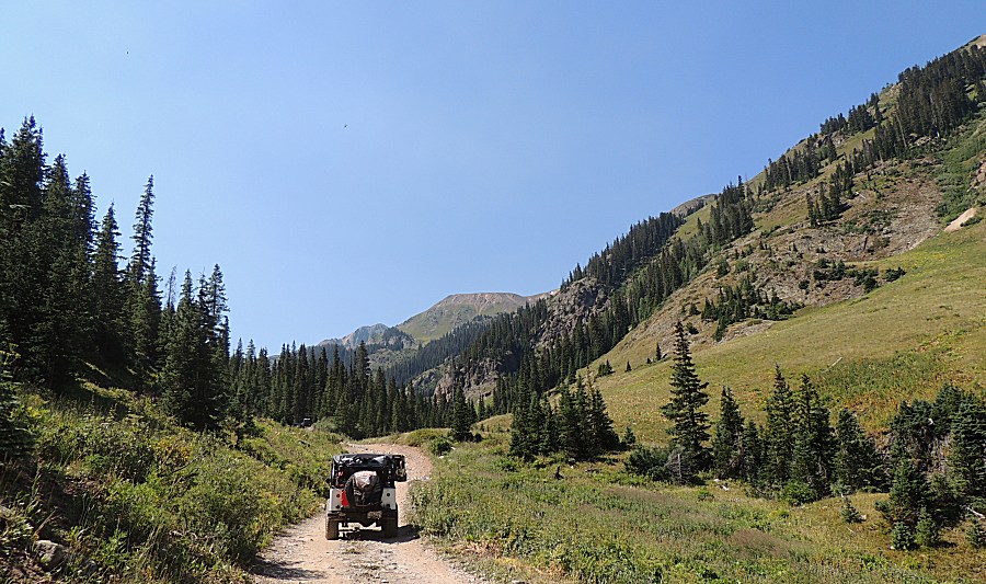
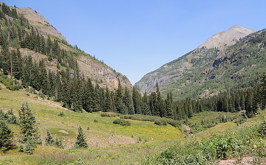
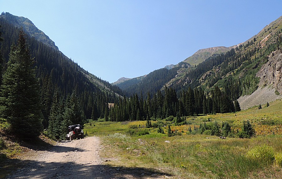
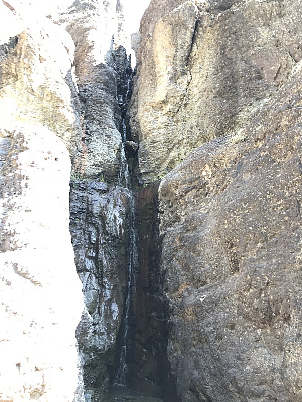
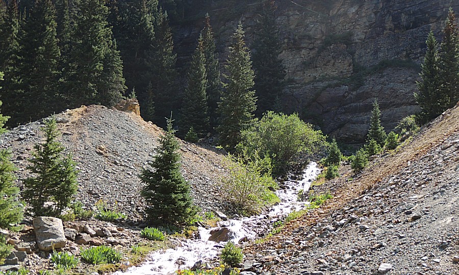
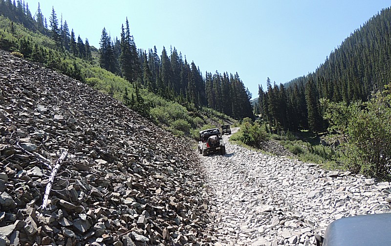
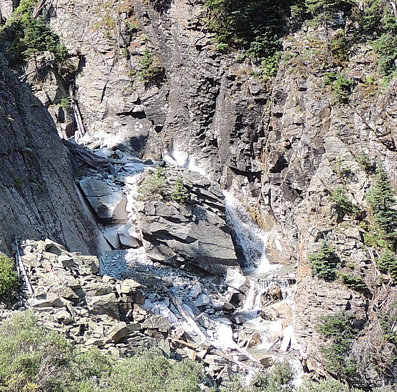
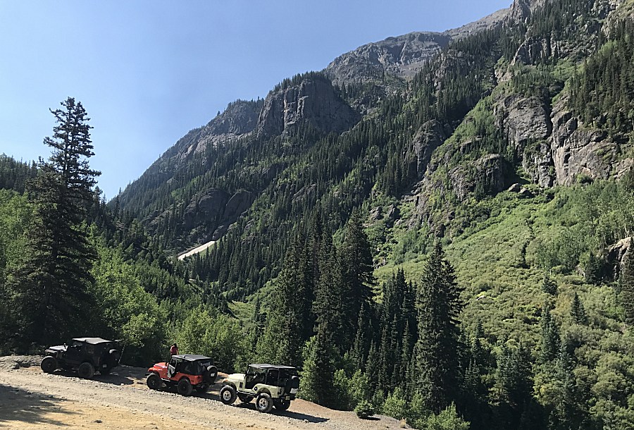
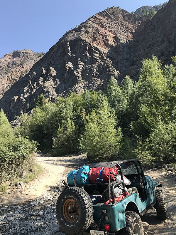
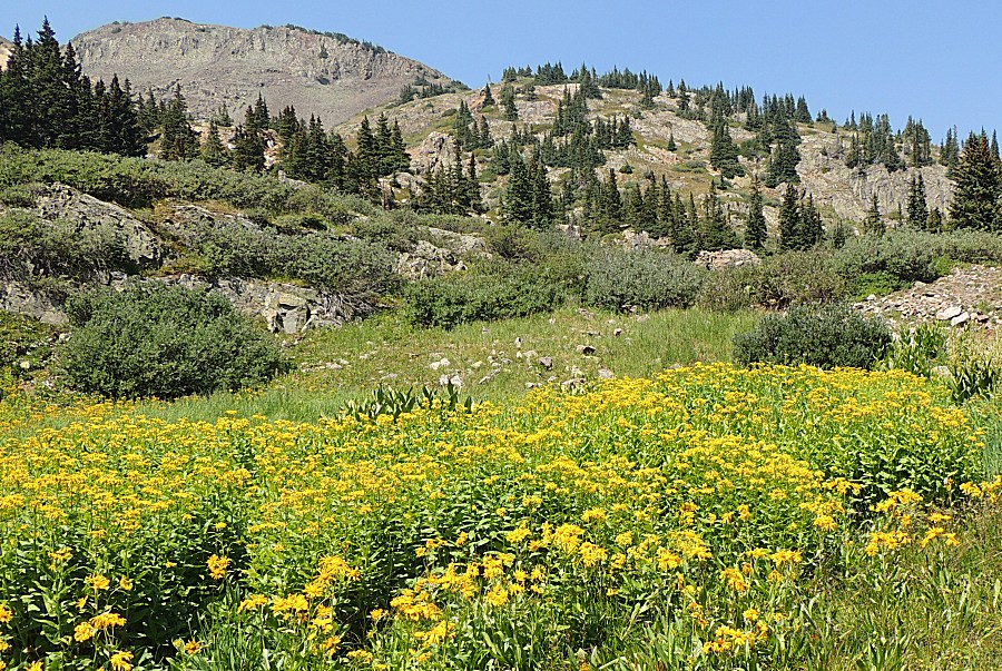
| Nice mountain slopes to enjoy |
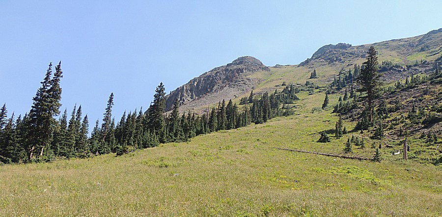
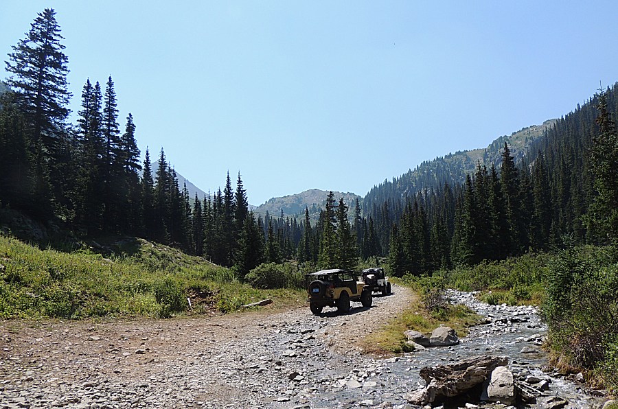
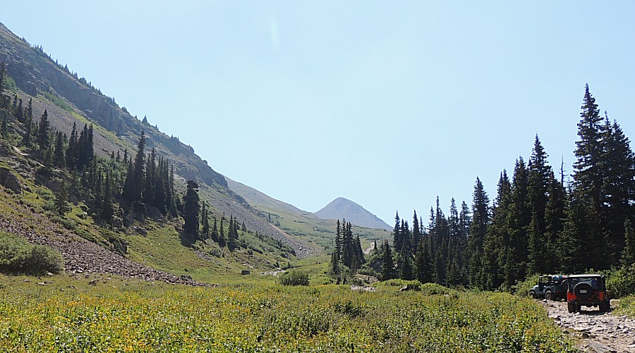
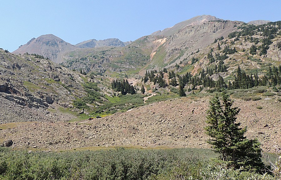
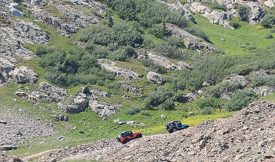
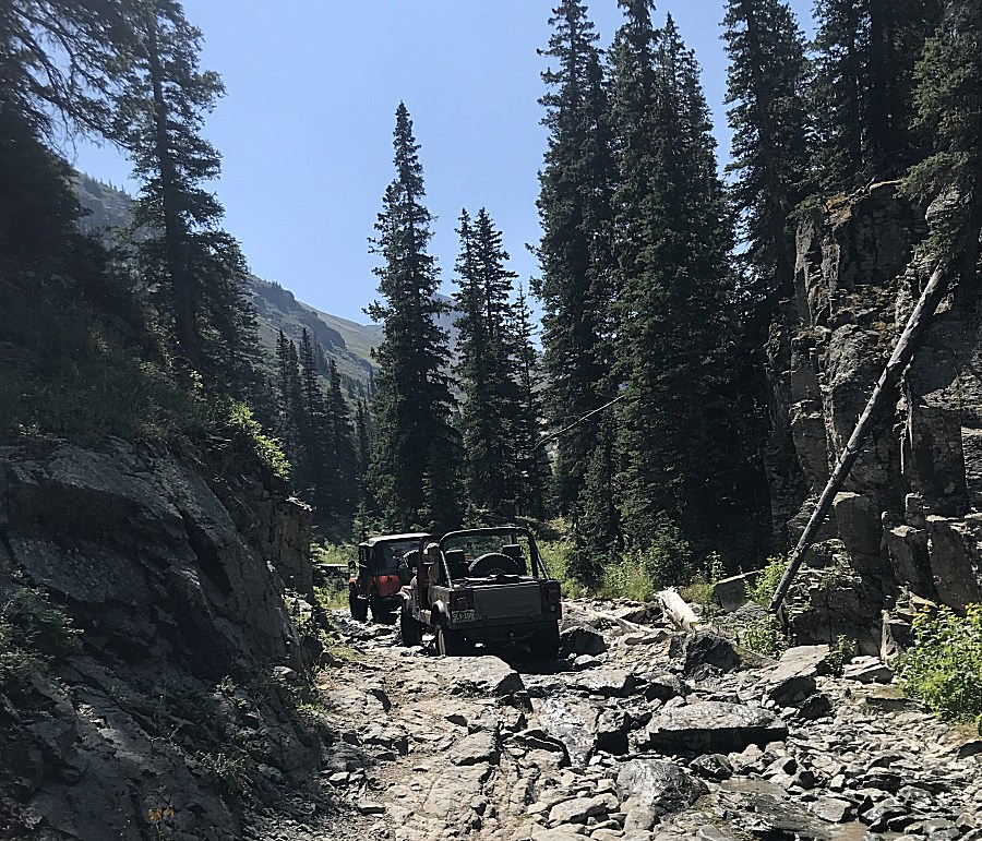
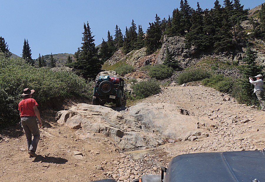
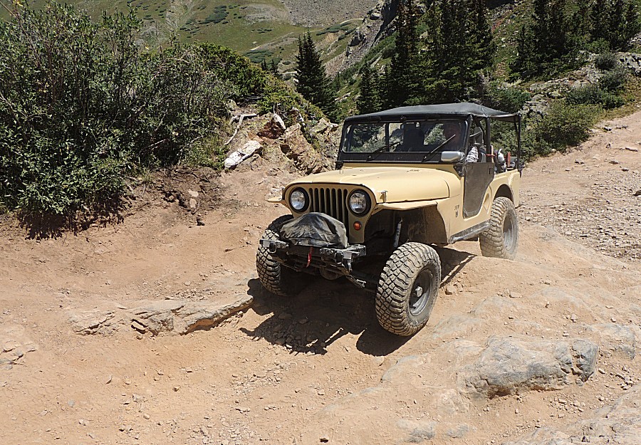
| The
Jeep in the photo is taking perhaps the hardest obstacle all of the
area trails offer. This is an optional item as there is a bypass.
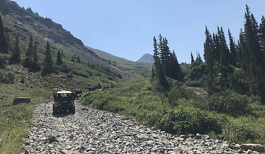
Mostly, the San Juan trails are fairly easy - and wonderfully
picturesque. |
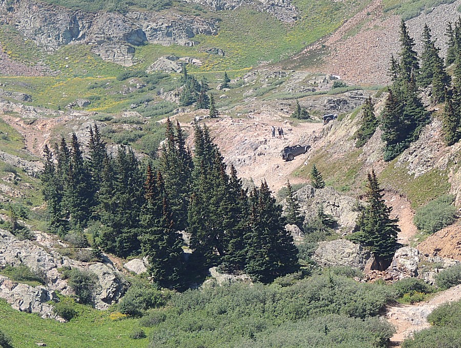
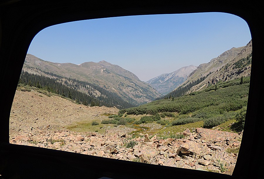
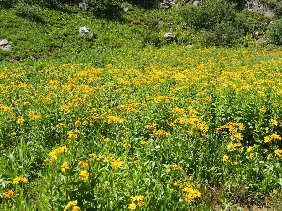
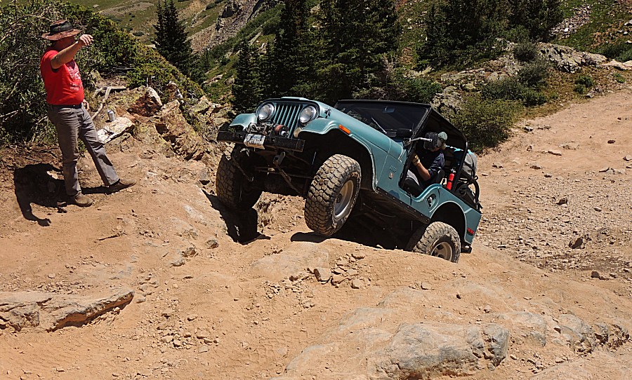
| Nearing
the "difficult" obstacle is another item to toy with (running to the
right is the easy bypass). This little rock thing can be tippy with the
right rear in a hole the left front hangs in the air. Differential
lockers do help. |
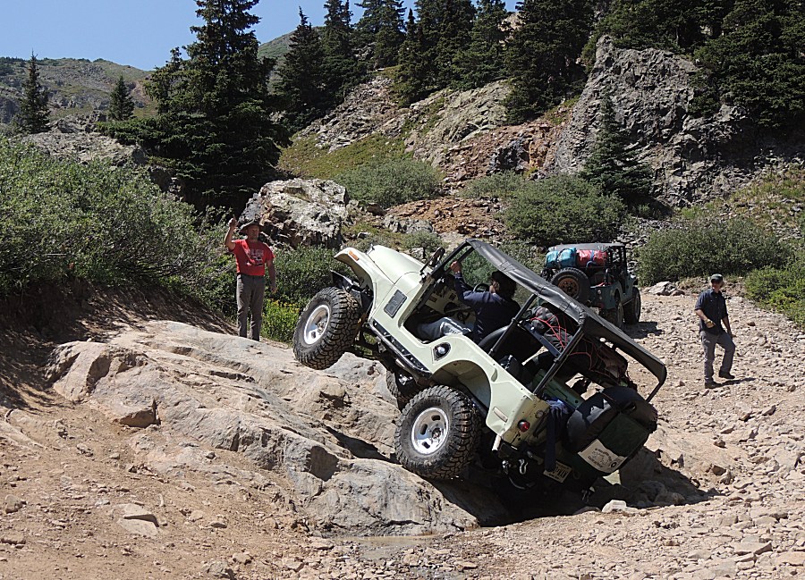
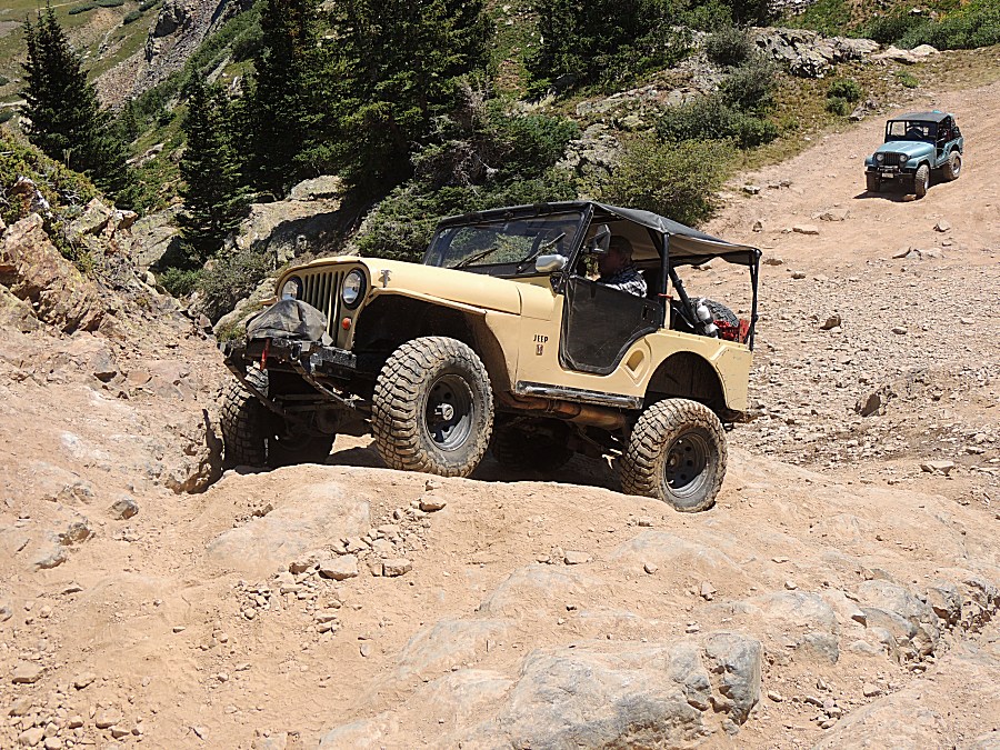
| This
is what it looks like. There is possibility to flop onto the passenger
side if one pushings things a bit out of whack. Just back-up and take a
different line. Sure, one could simply drive the easy, flat rocks that are to the right of the jeep - but if you traveled from the east coast - you're going to give it a go (and succeed). |
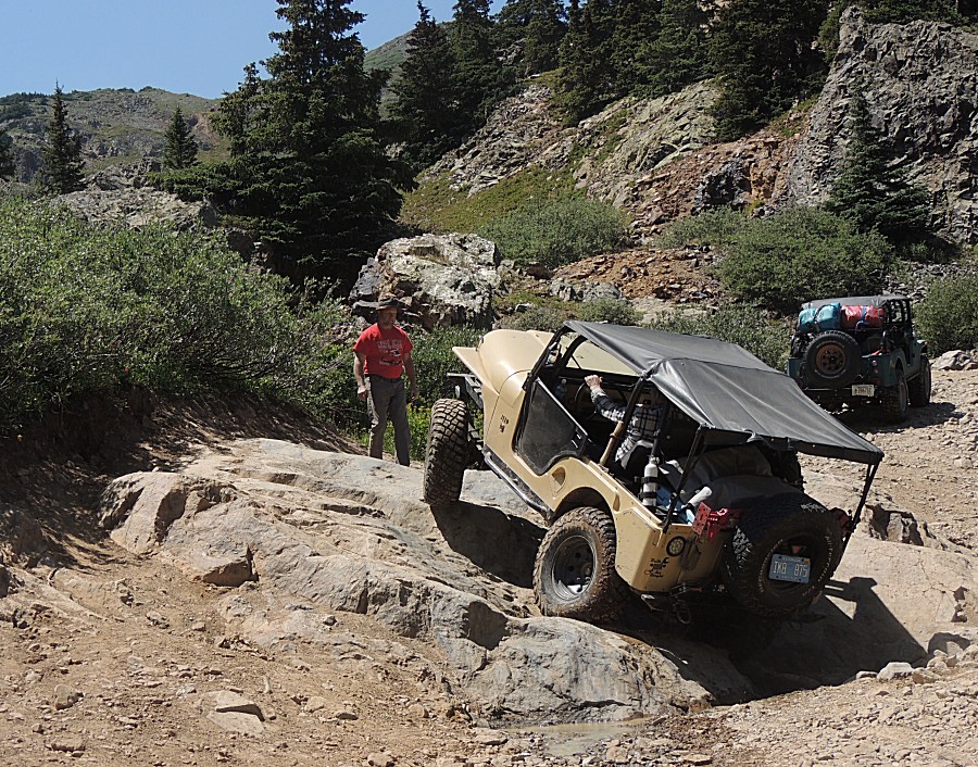
| Florida's turn - a slightly different line -
no tall left front tire salute. |
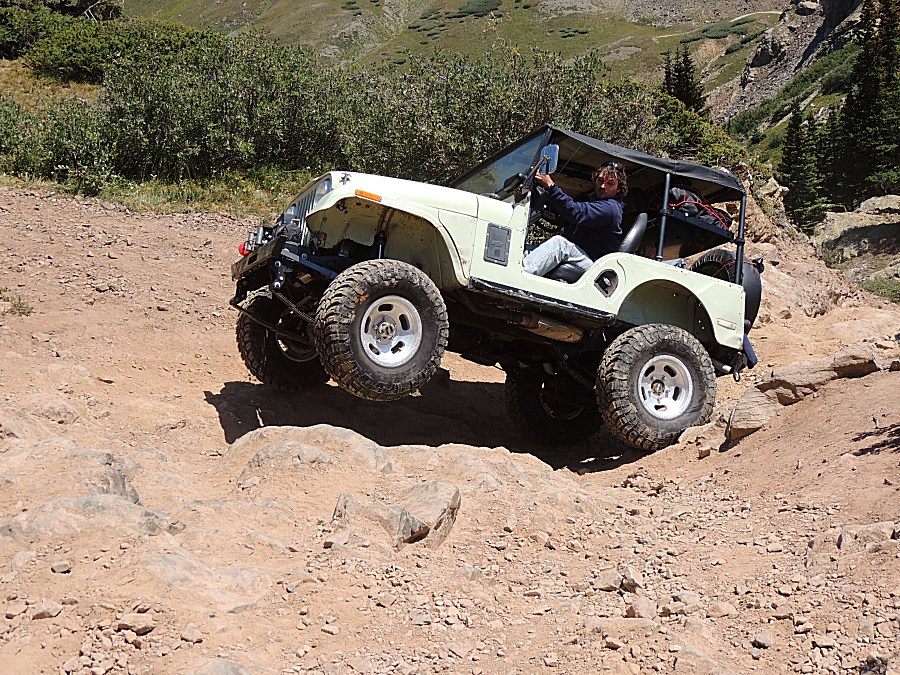
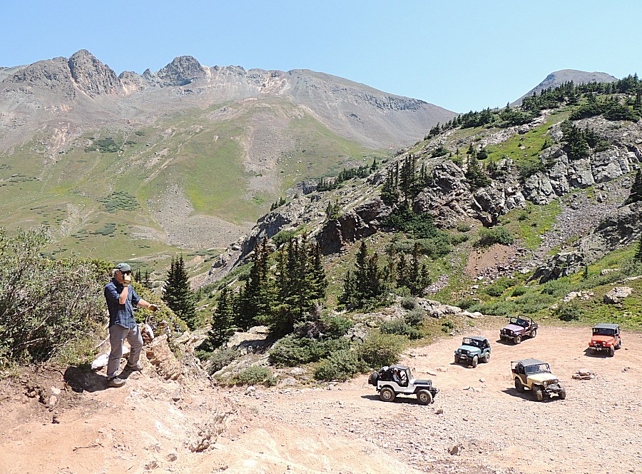
| Now the group's to the main obstacle... |
| Climbing a thirty? foot tall slope. |
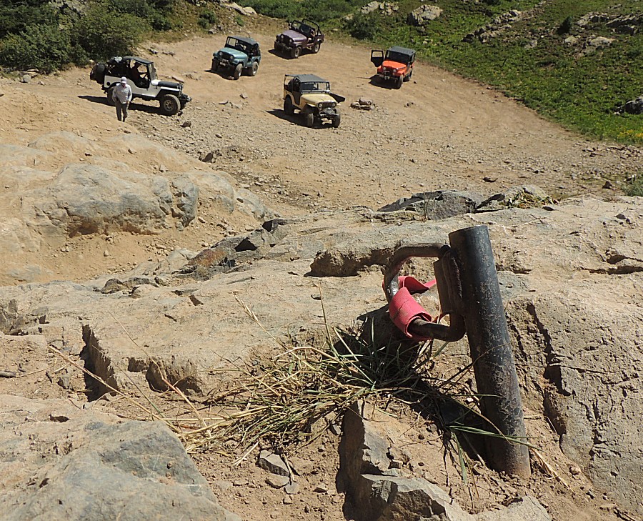
| Some obstacles have permanent winch anchor
points. This one looks bent and used. |
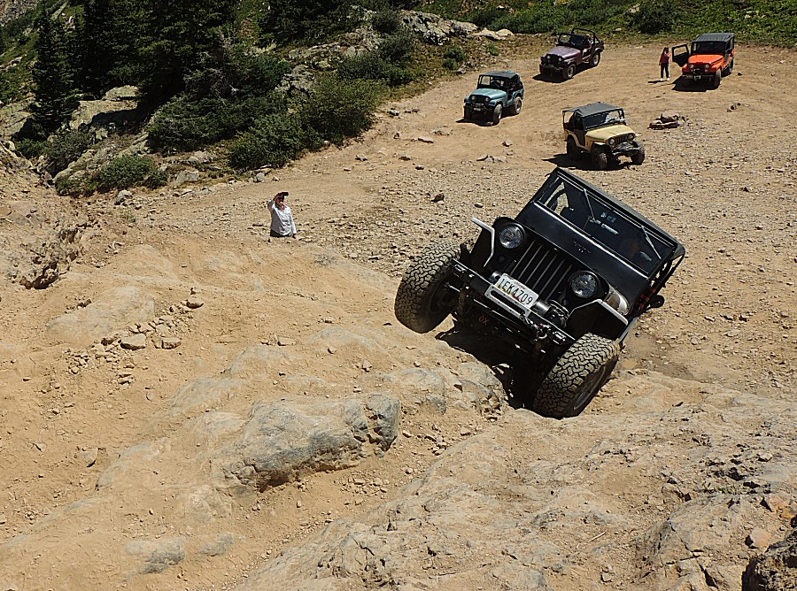
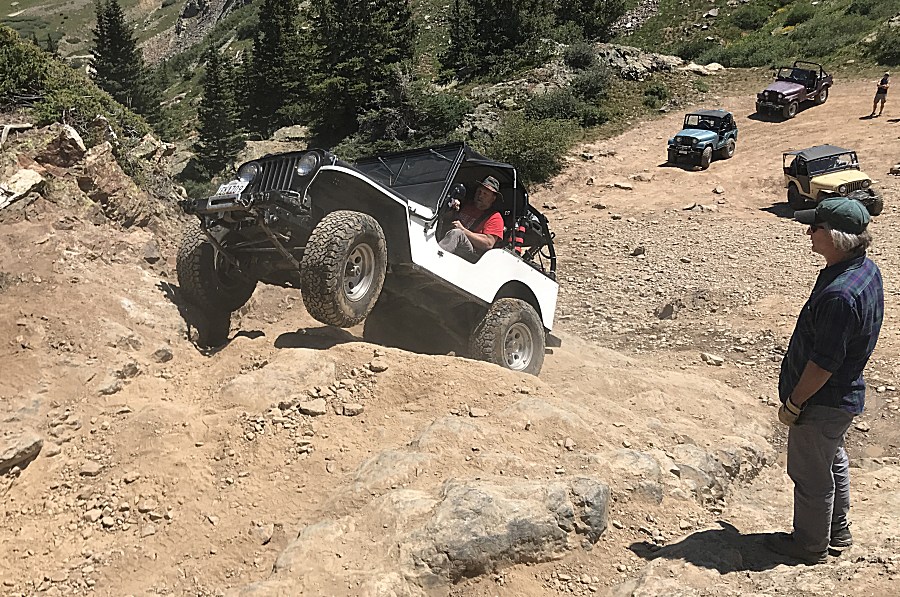
| Up top... Done! |
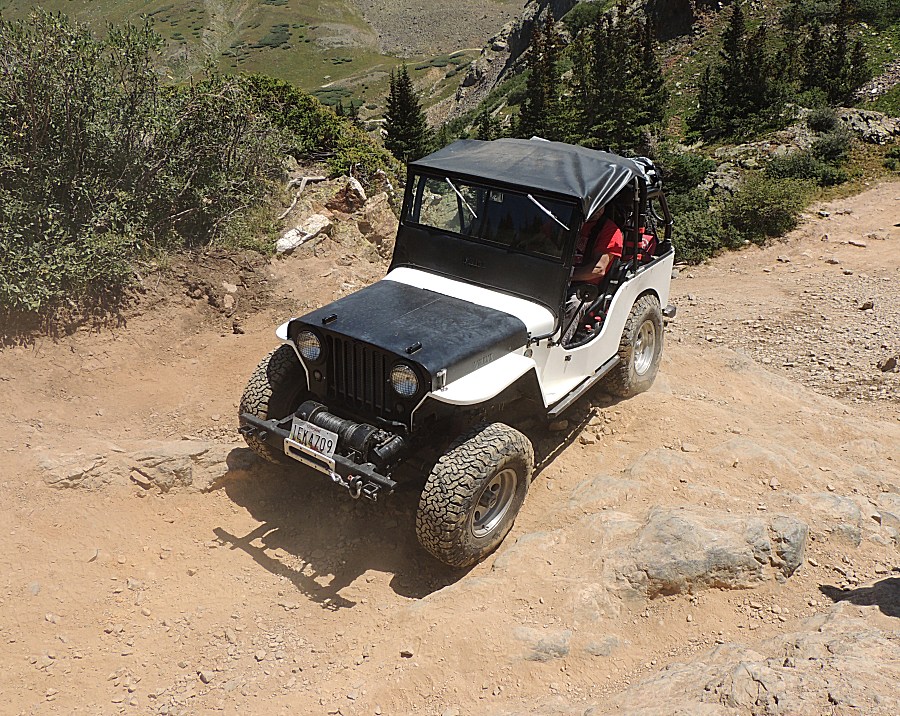
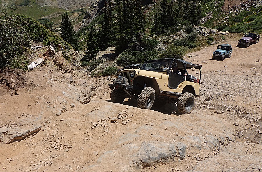
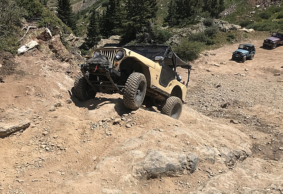
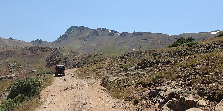
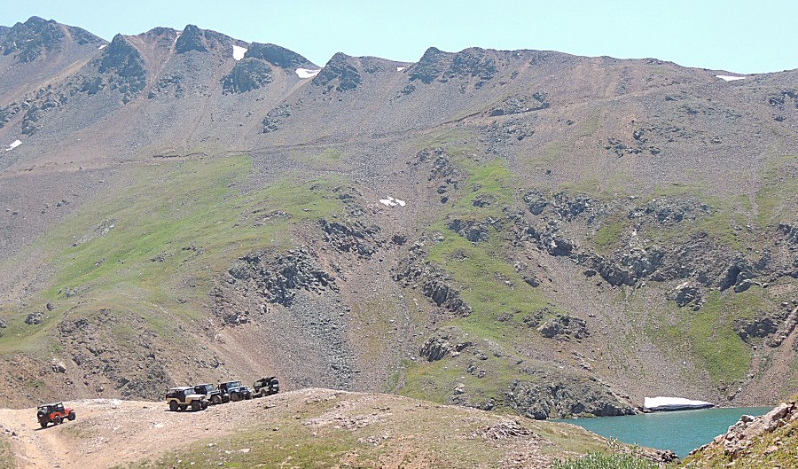
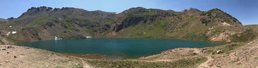
| Obstacle checked - on to a nice mountain lake. |
| Panorama Click for a larger version |
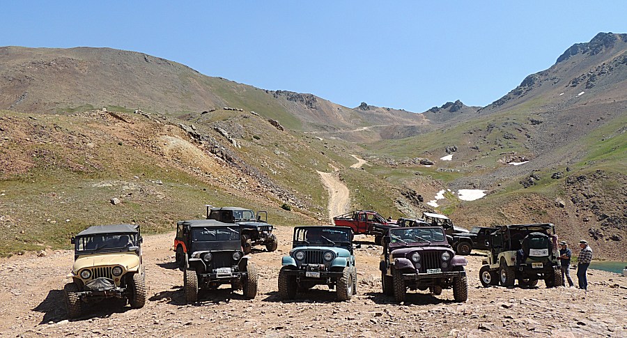
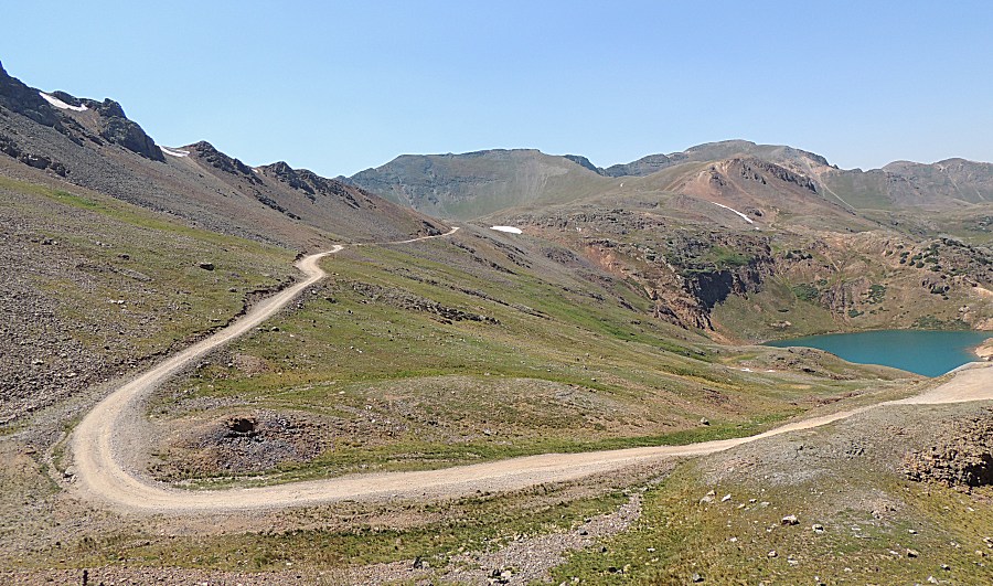
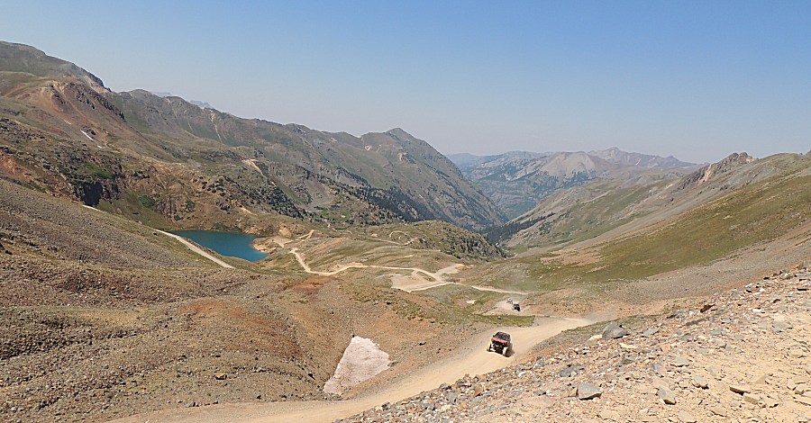
| A fitting scene for the jeep - California Pass
- to head down California Gulch to the Animas Forks townsite. |
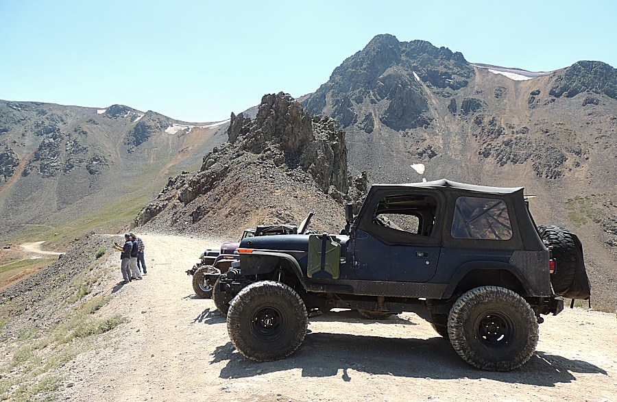
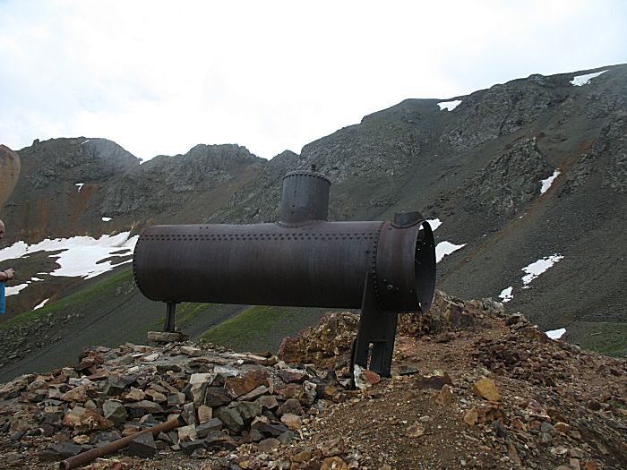
| The boiler has fallen onto its side. On a trip in 2015 it was standing image |
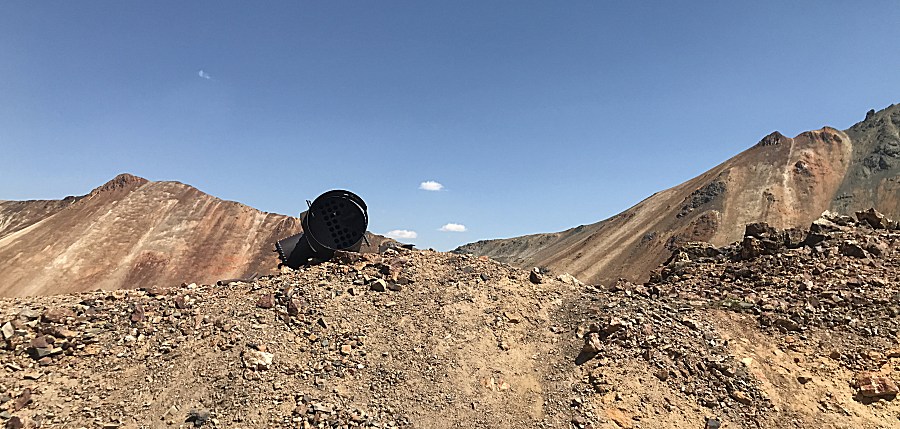
| Down valley is the Animas Forks townsite. |
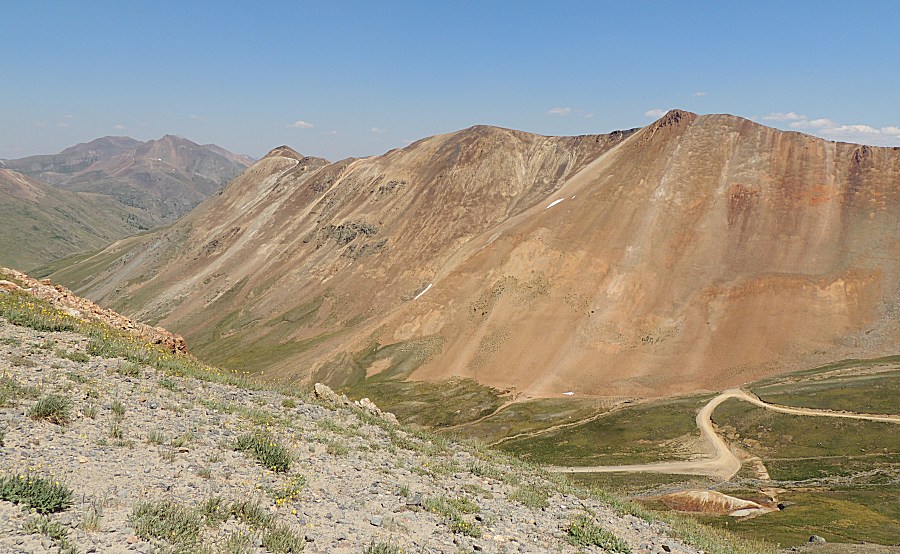
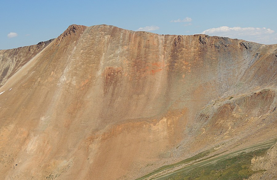
| A massive mountainside with nice colors. |
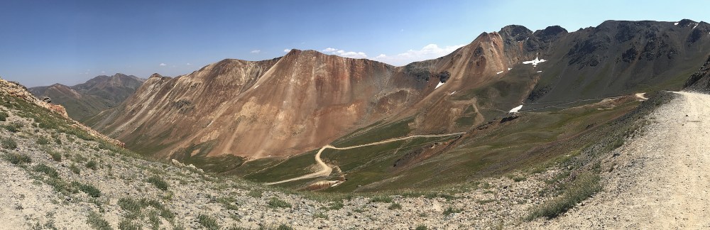
| Panorama Click for a larger size |
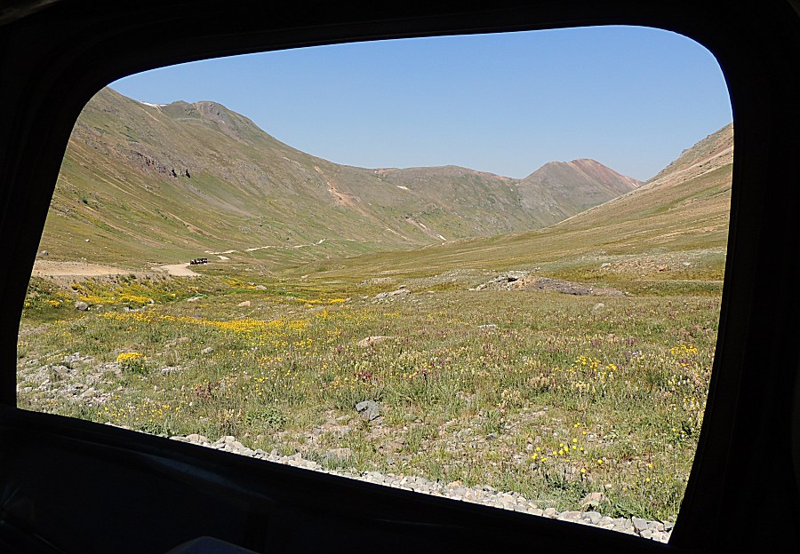
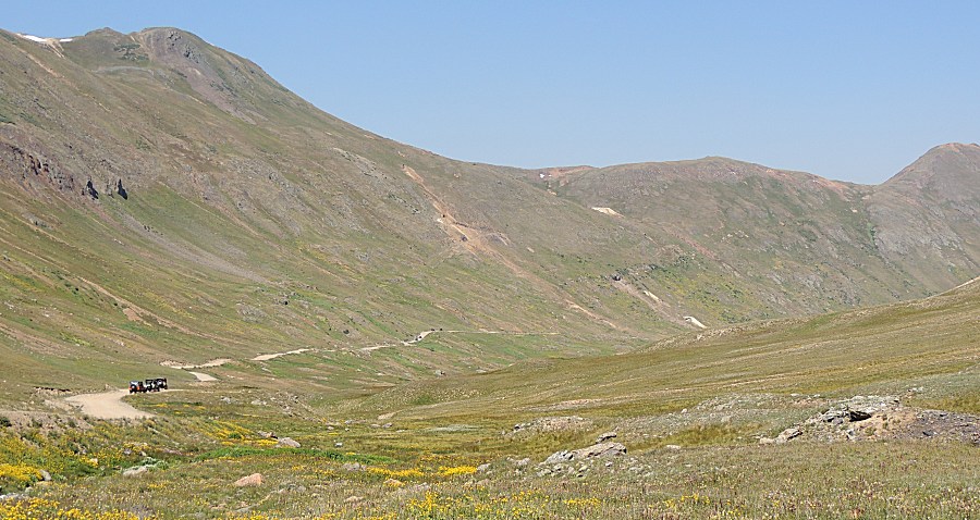
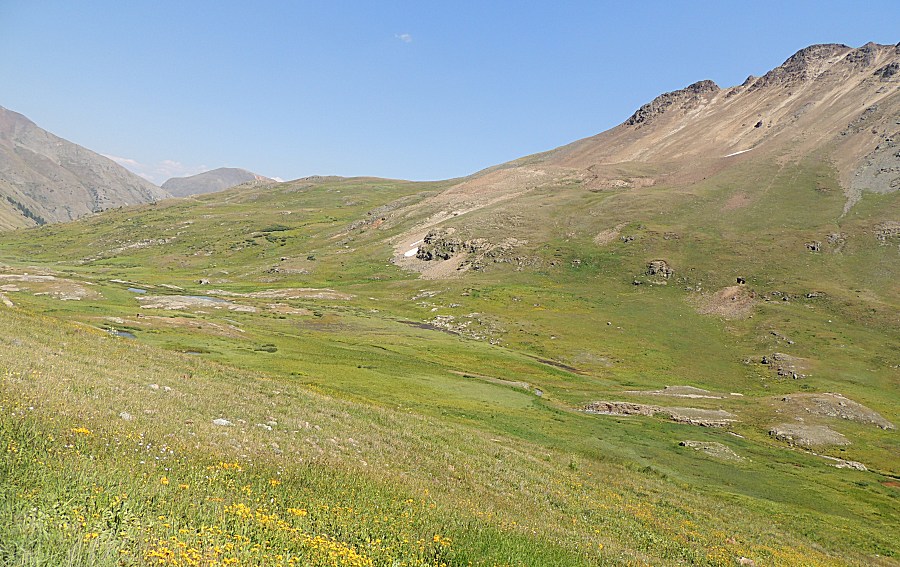
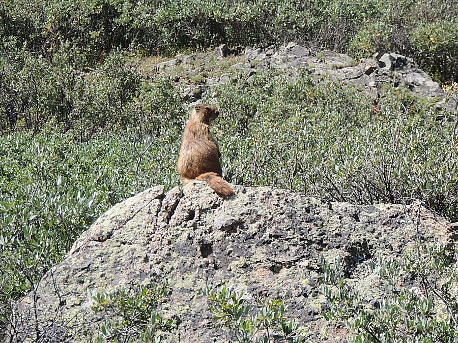
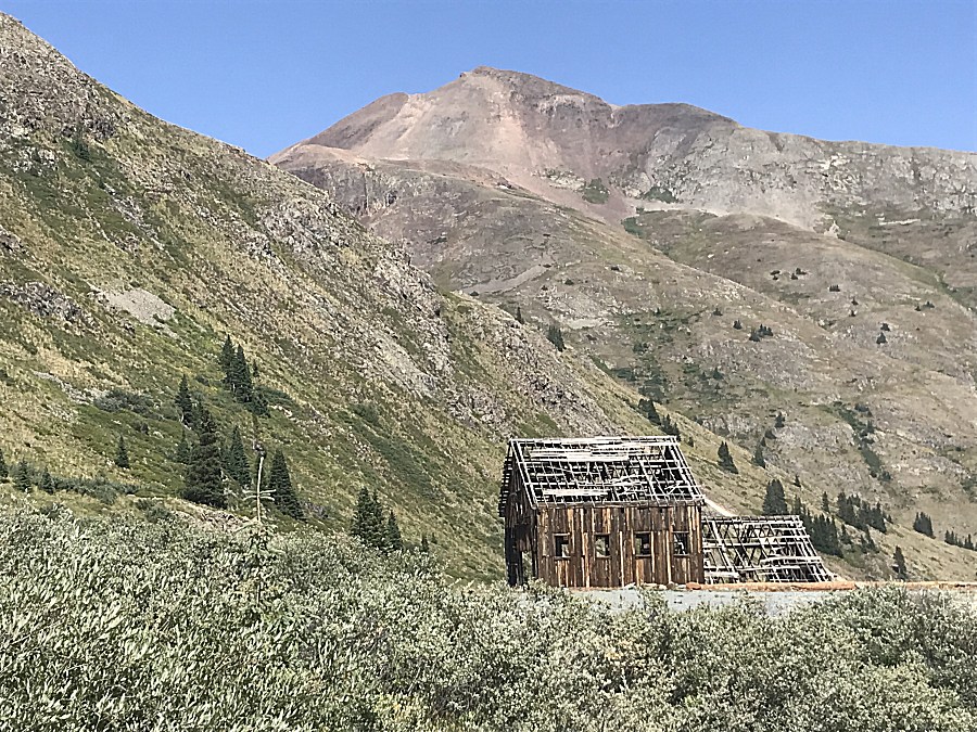
| As of this visit - It's for sale... |
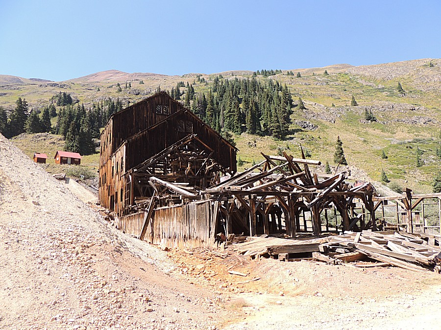
| Some new structural change to keep it together
/ preserved - nice to see. |
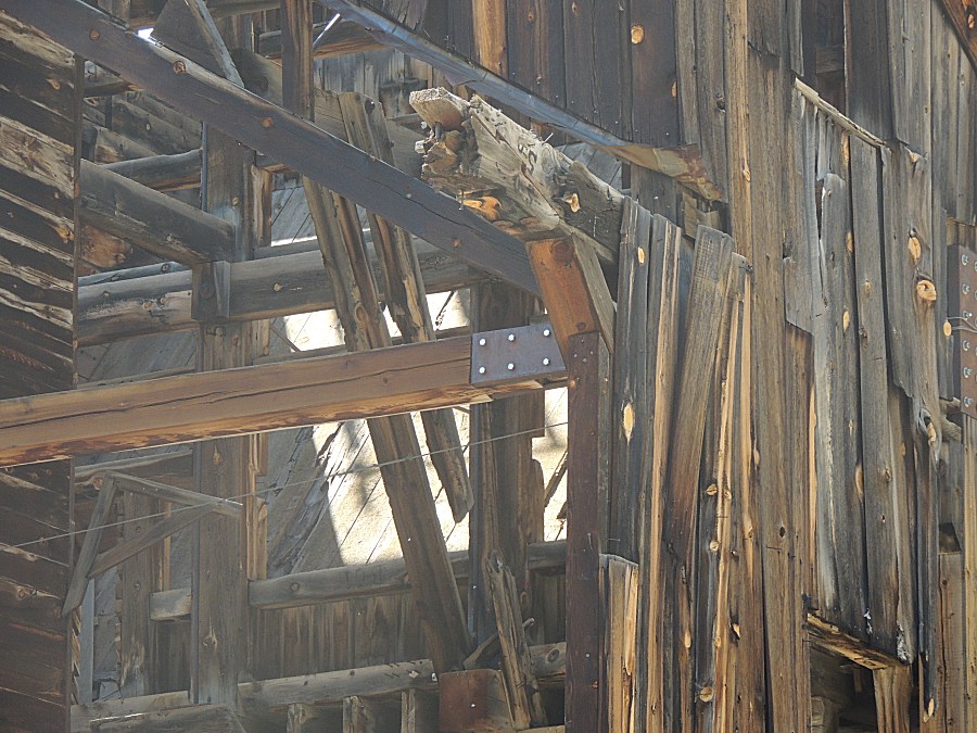
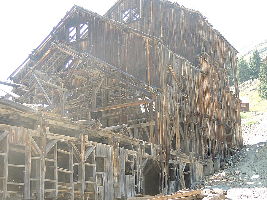
| Down to Animas Forks townsite |
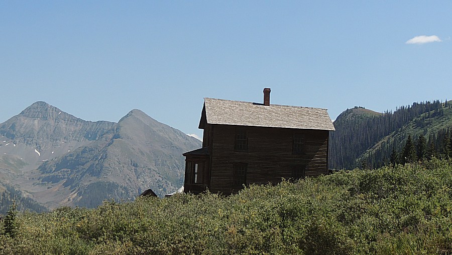
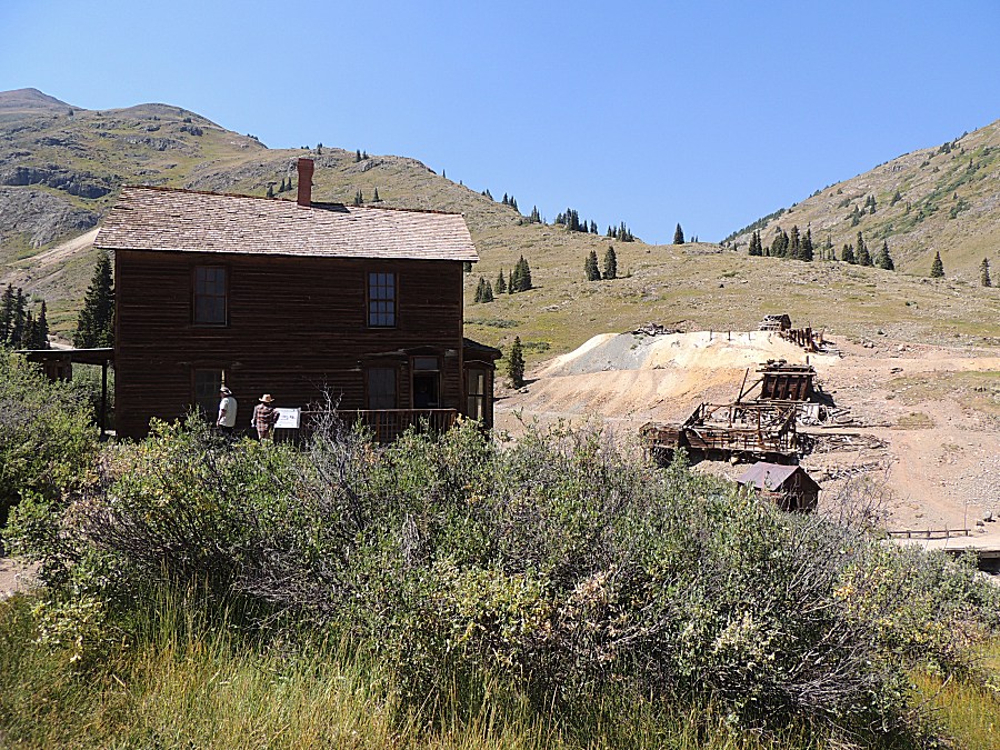
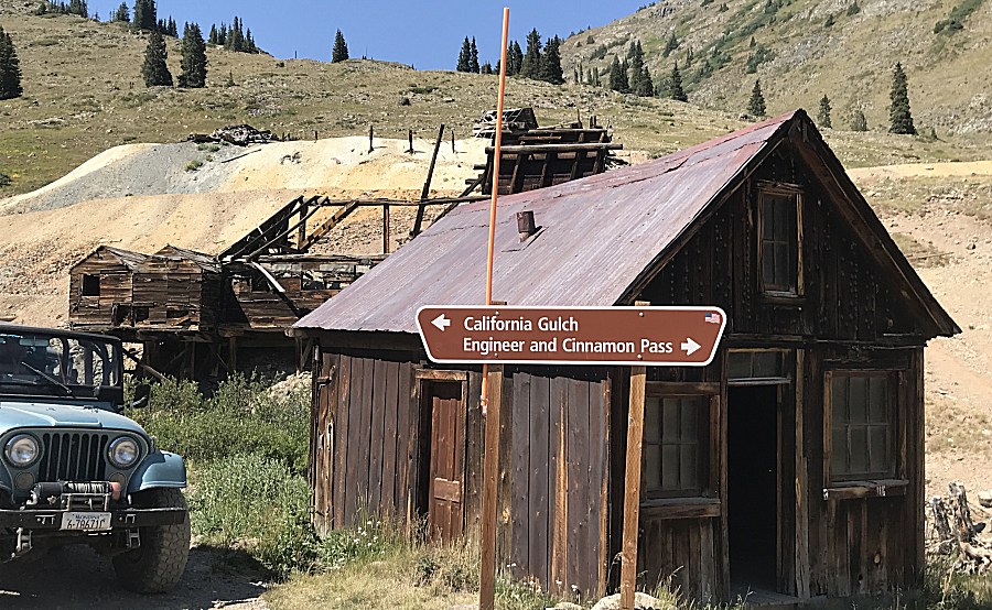
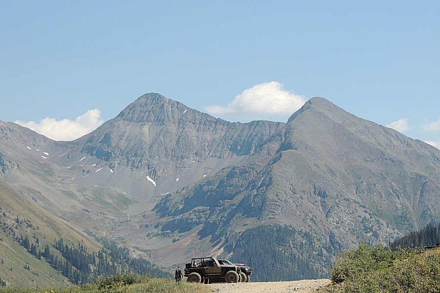
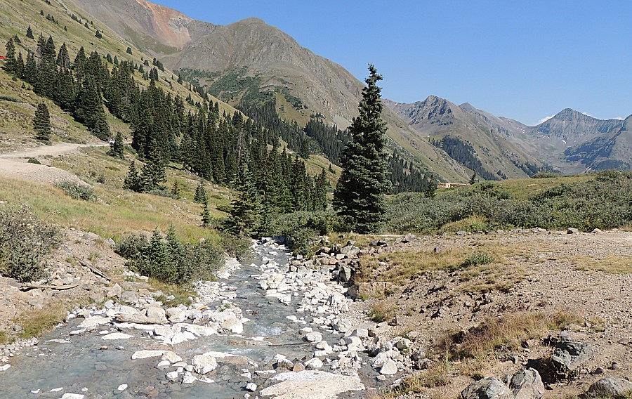
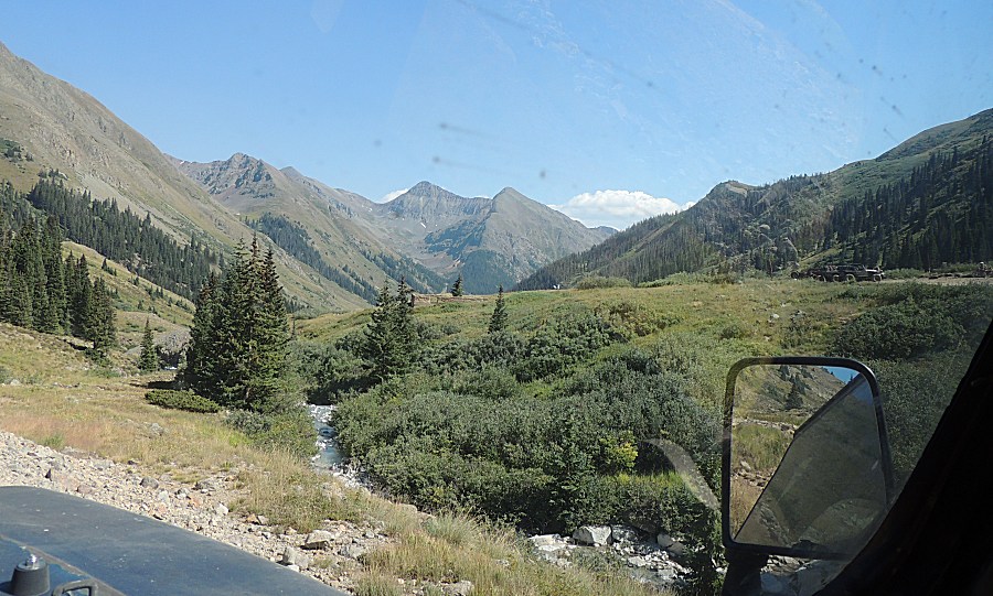
| Center of pic - footings for what must have
been a massive mill. |
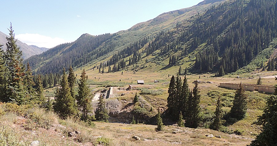
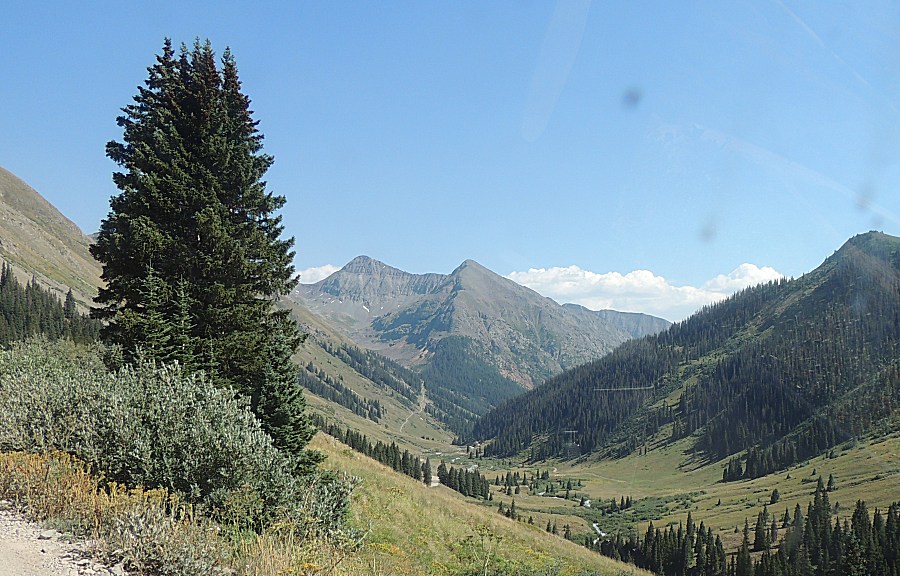
| Down valley is the town of Silverton
(accessible by low clearance car, on a clean / dry road day, with a bit
of care). |
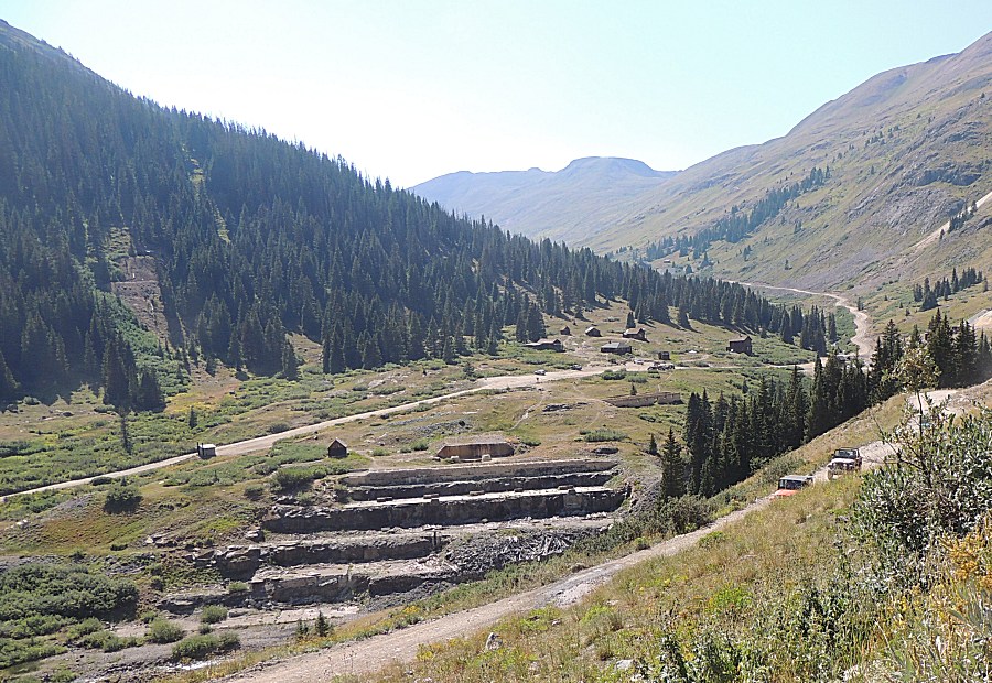
| We're headed to Engineer Pass looking back at
Animas Forks and the massive mill remnants. |
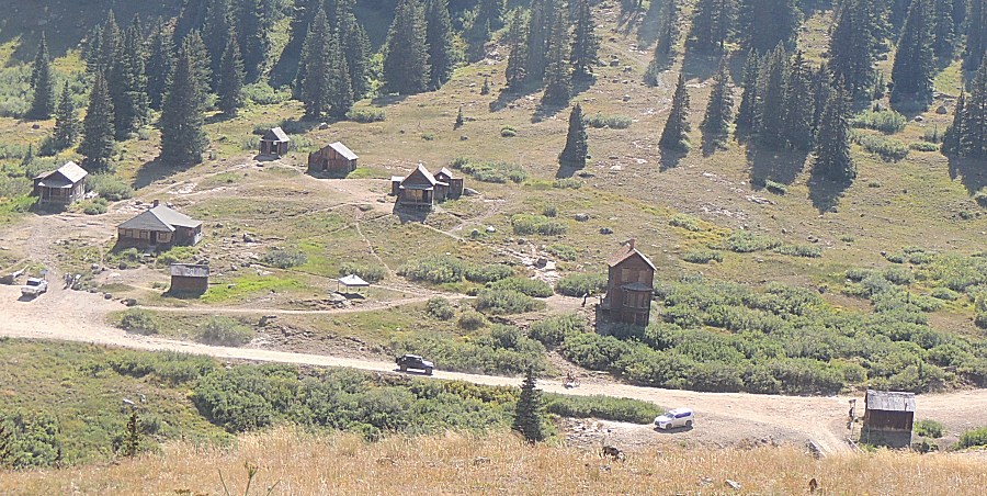
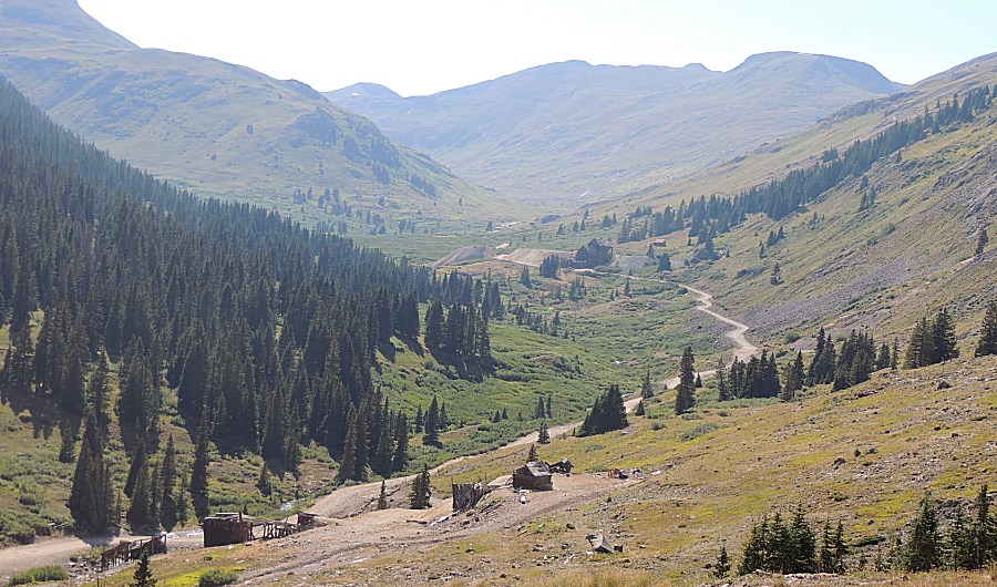
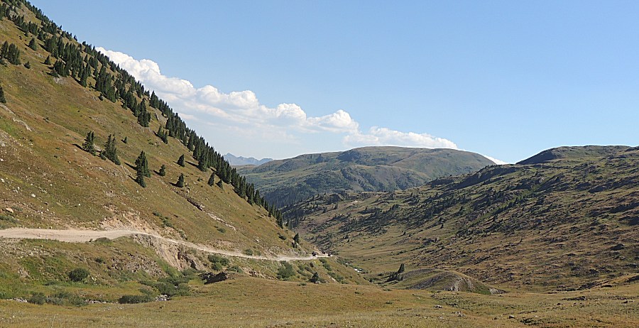
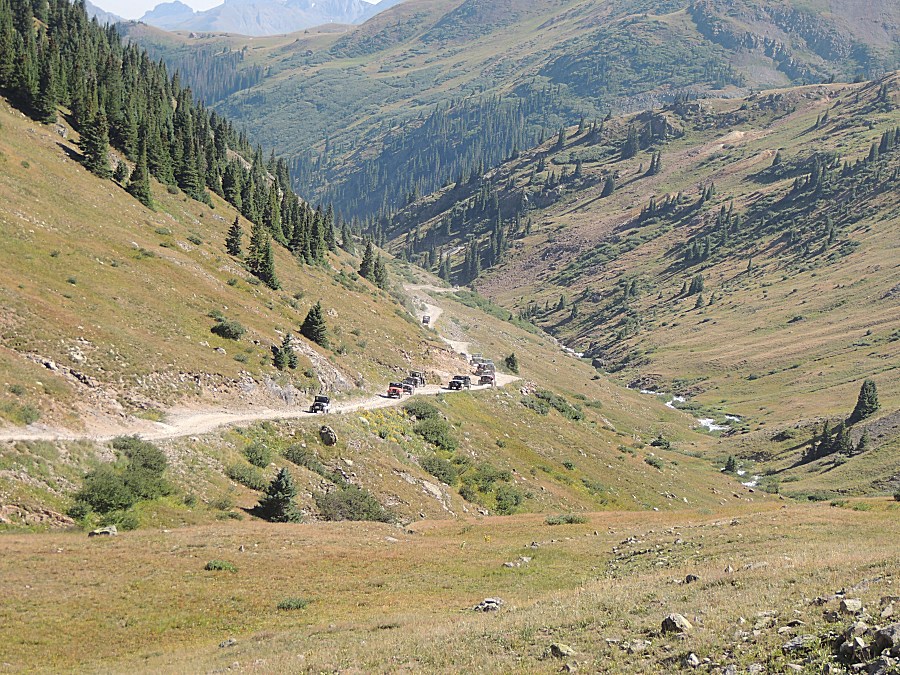
| I'm a bit ahead of the group - looking back at
them. |
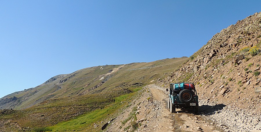
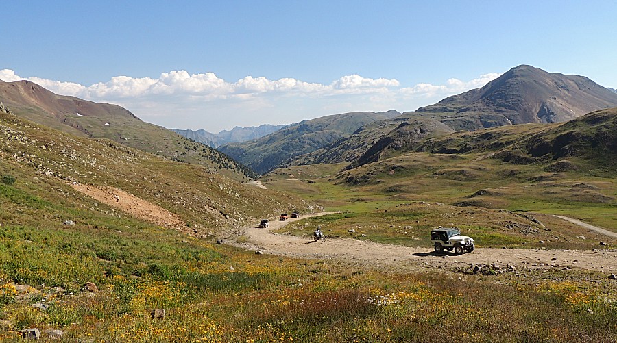
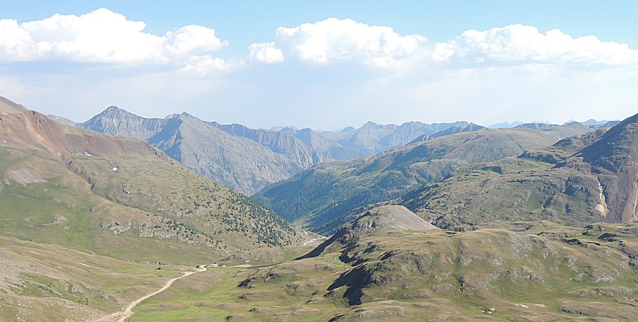
| Views to skim across the tall peaks |
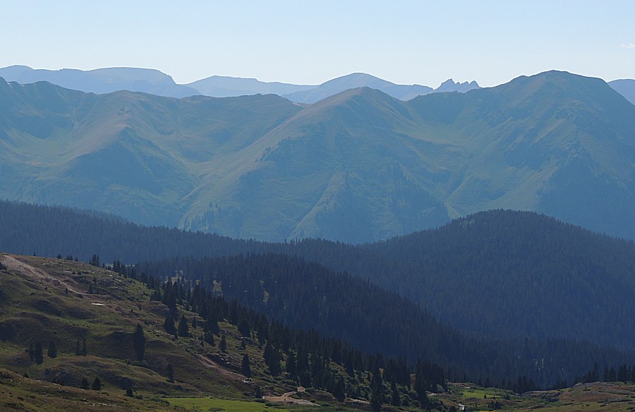
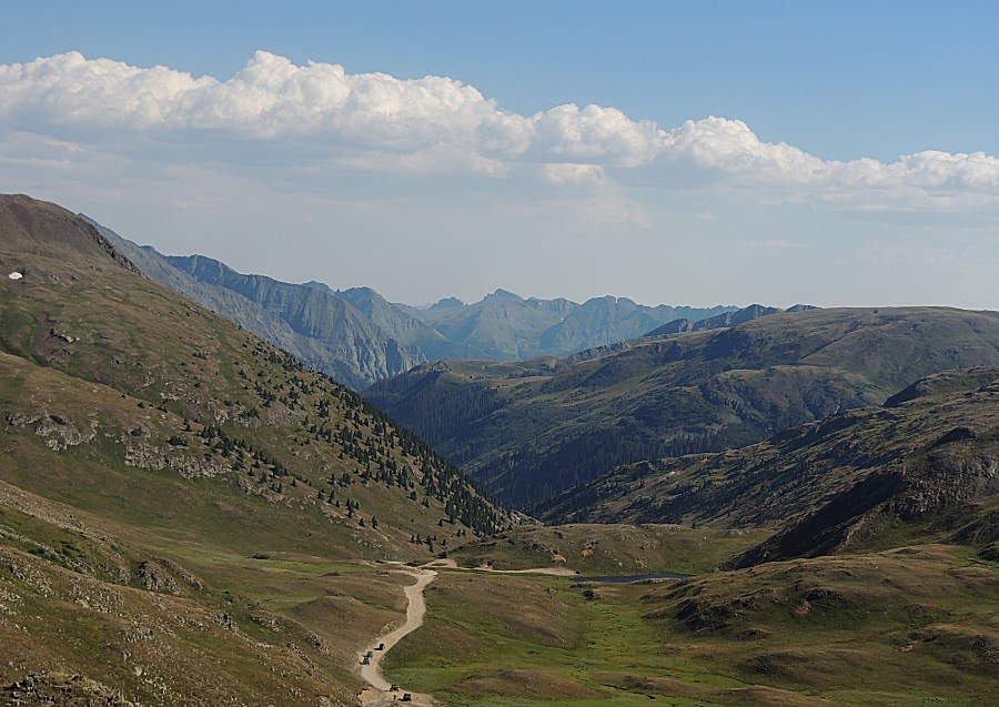
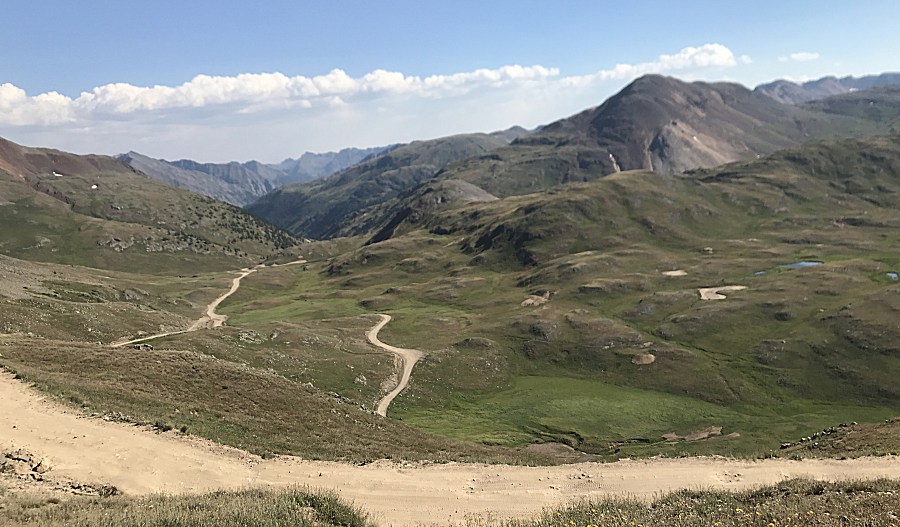
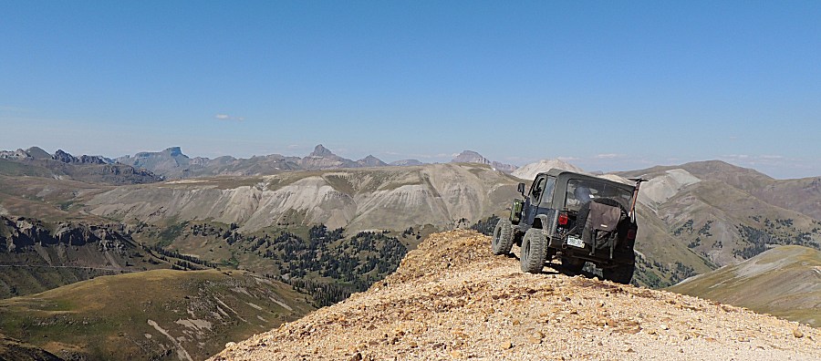
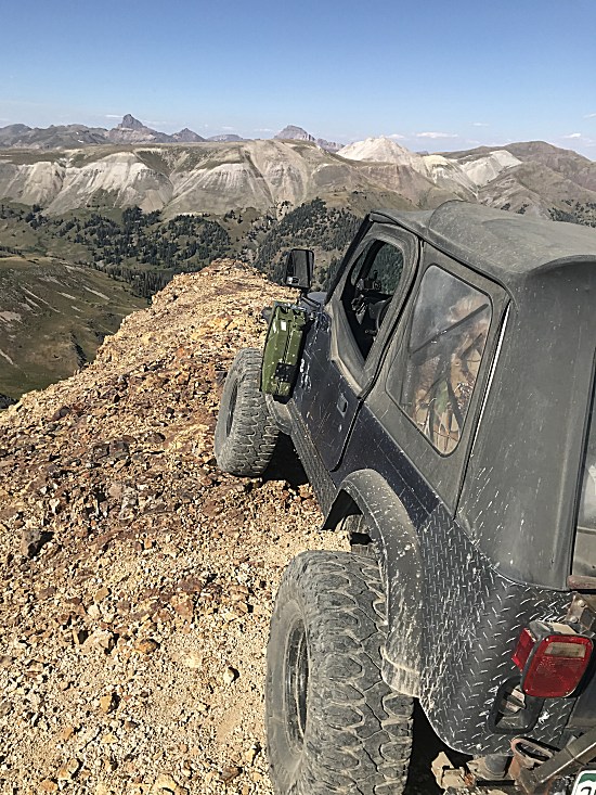
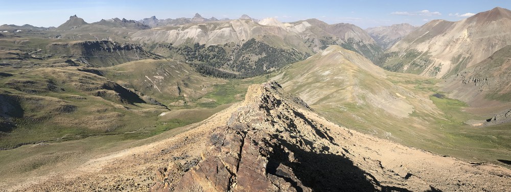
| We deviated off of the main Engineer Pass
trail to a nearby dead-end spur for some pictures. |
| Panorama Click for a larger size |

| Panorama Click for a larger size |
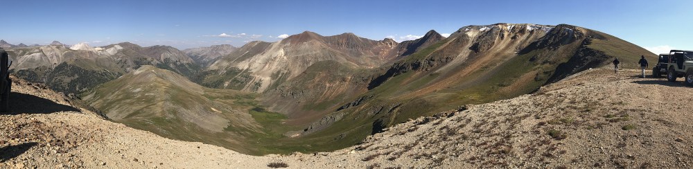
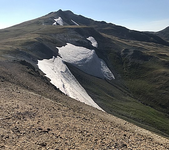
| Panorama Click for a larger size |
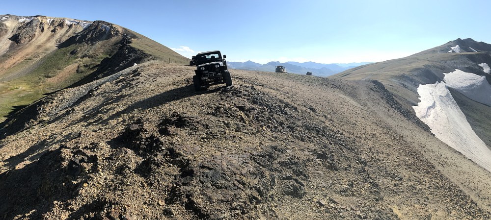
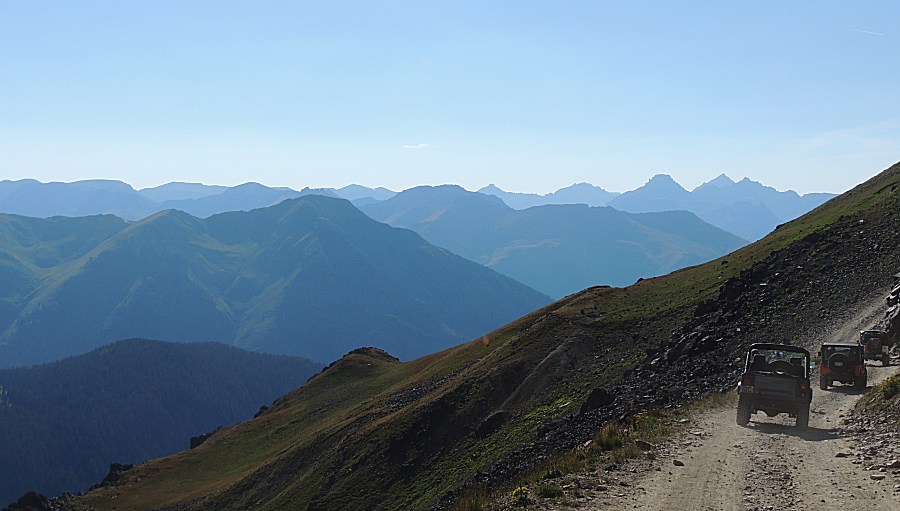
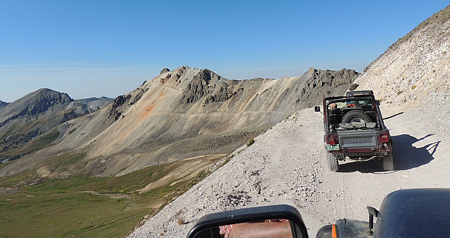
| Some of the pictures make it look like the
jeep was out on an edge to fall off - nope. Panorama Click for a larger size |
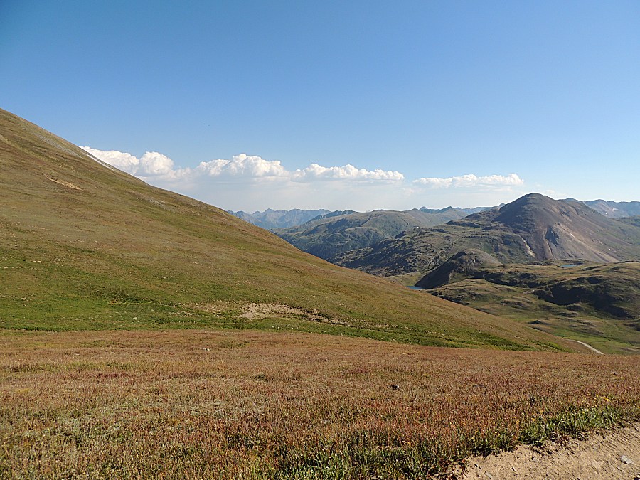
| Potential for computer background image... |
| or maybe this one - rotated a few degrees
clockwise. |
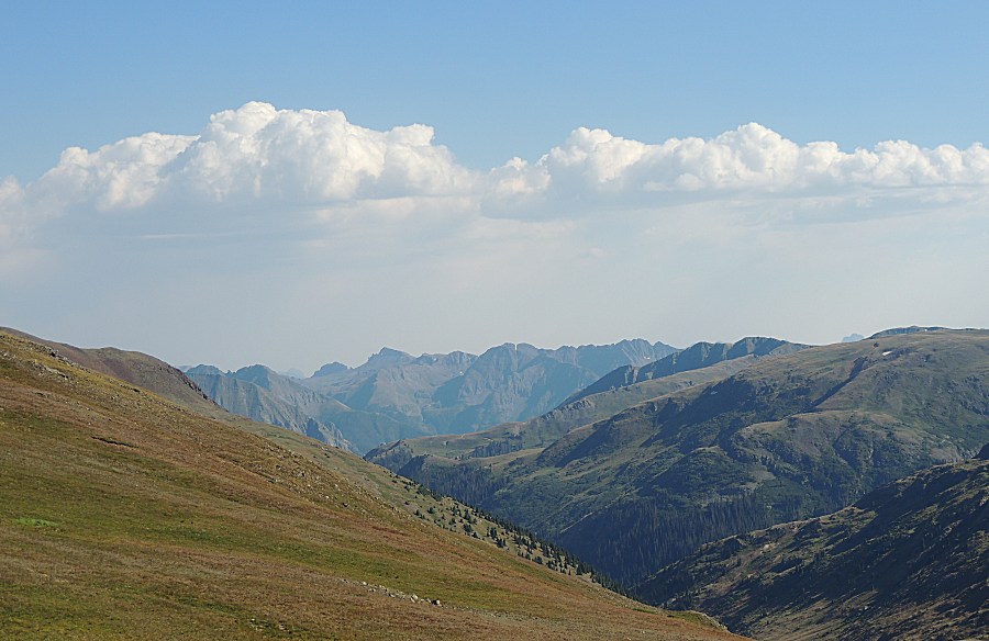
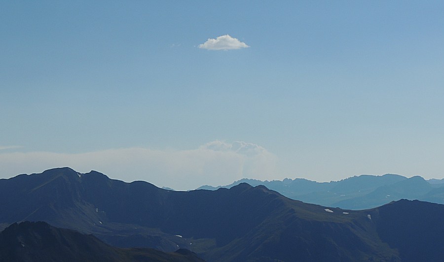
| There
is a forest fire on the horizon. Plume of smoke down low above the
ridge, flowing to the west. I believe the lone cloud up high is
condensation from that fire. |
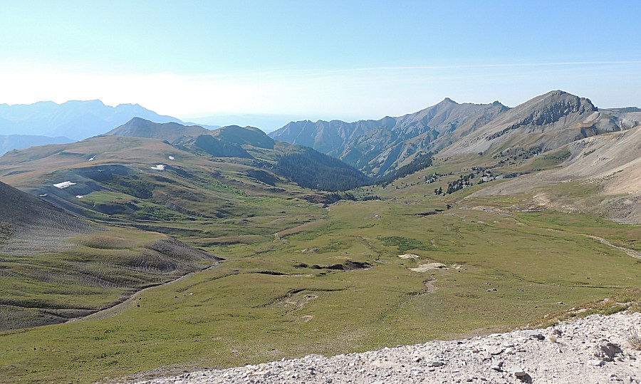
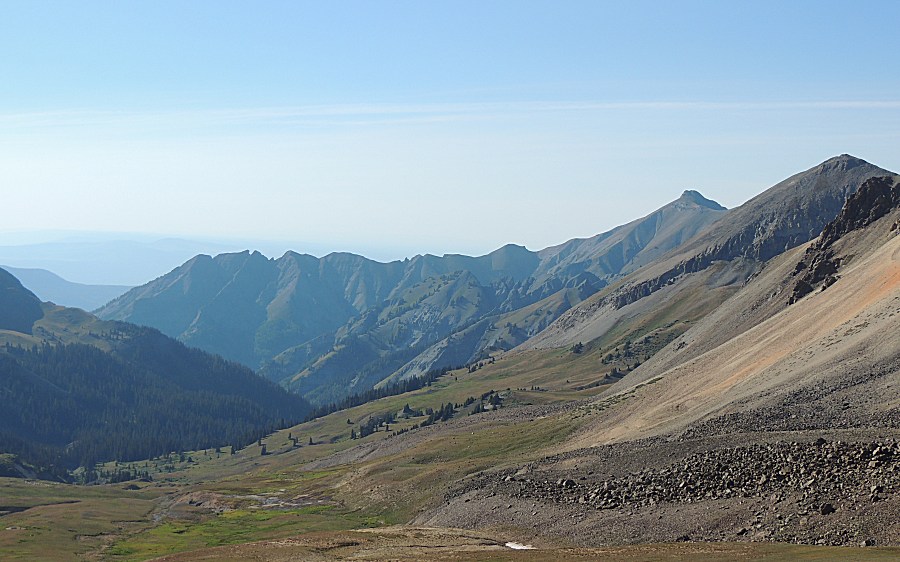
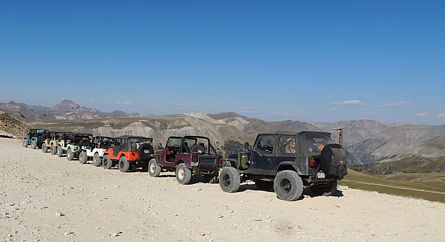
| Panorama Click for a larger size |

| Panorama Click for a larger size |

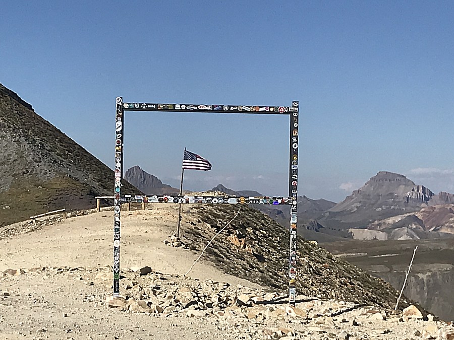
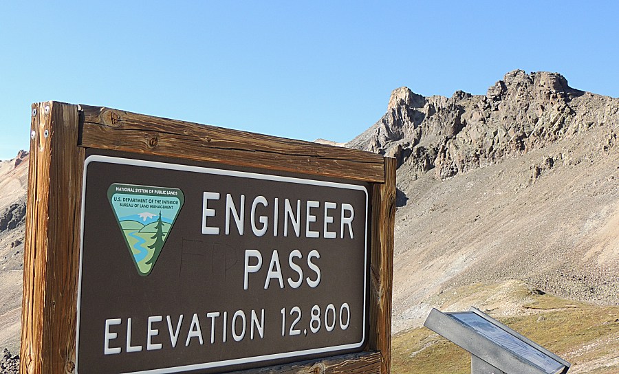
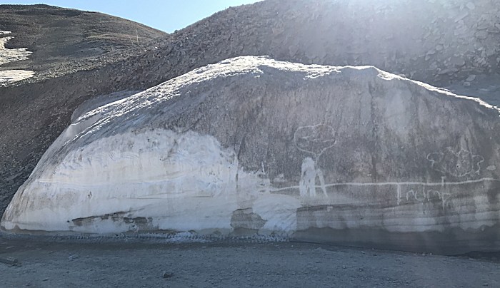
| Mid July @ 12,800 Feet (3901 meters) |
| Now
to find camp. At the right edge of the picture - just into the trees
will be camp. It's up high, we might have a cool / cold night sleeping. |
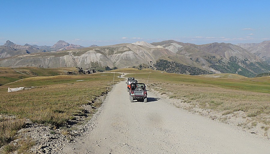
| Wyoming |
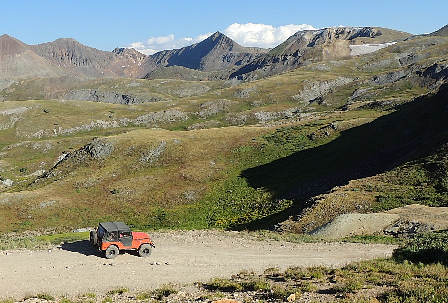
| Colorado |
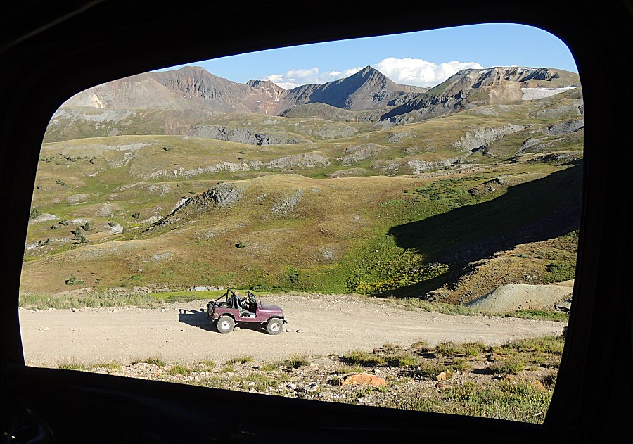
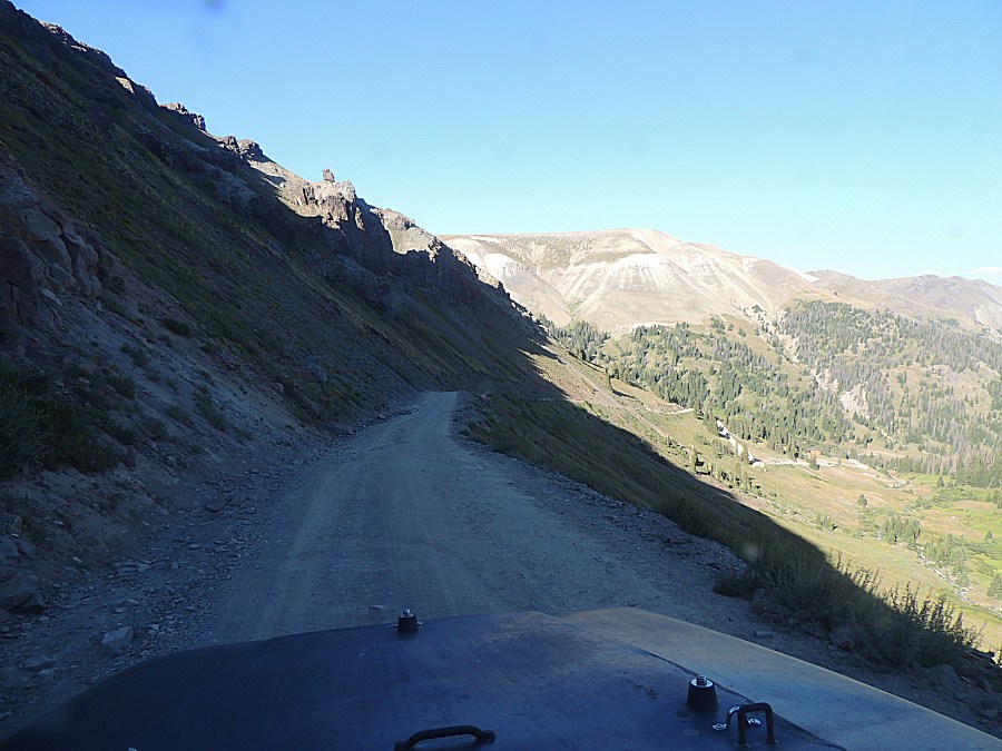
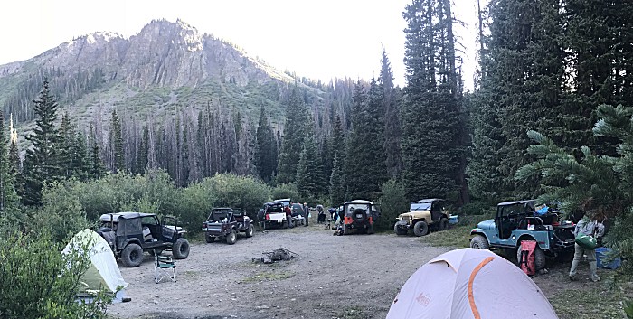
| Camp |
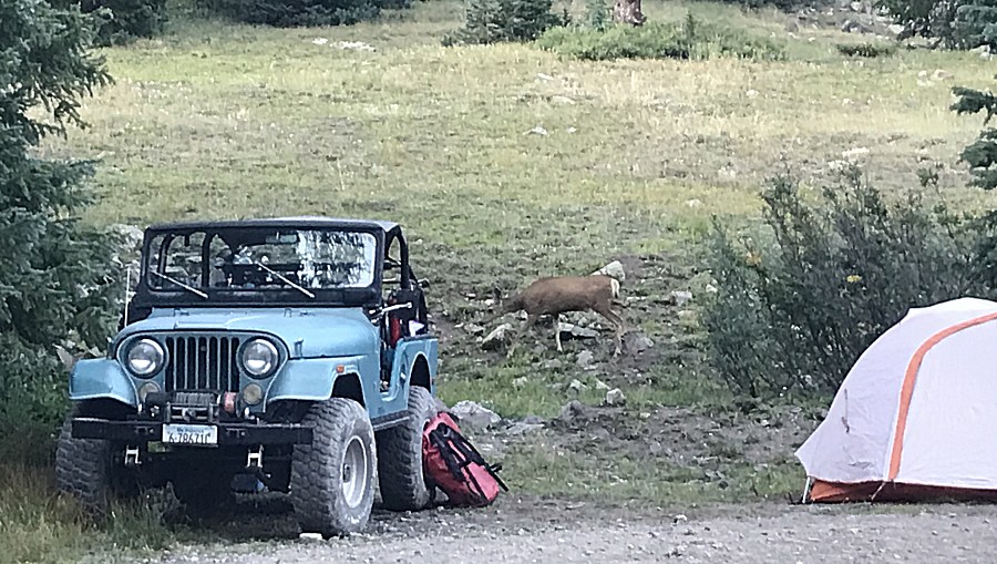
| Wildlife |
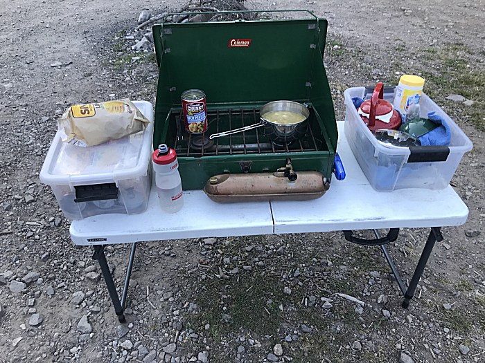
| Dinner. That soup can will come in handy
tomorrow. |