2025 San Juan's & Yampa Bench Road
|
The
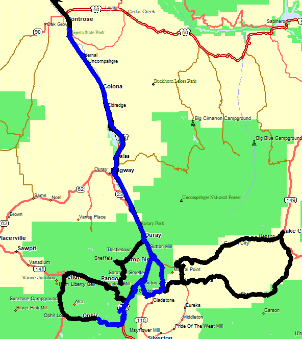
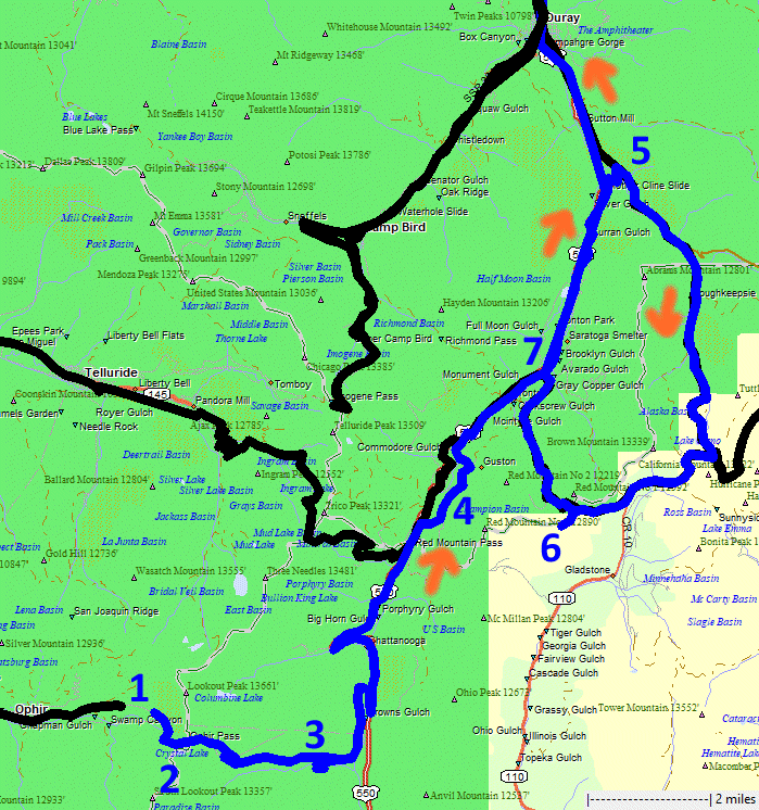
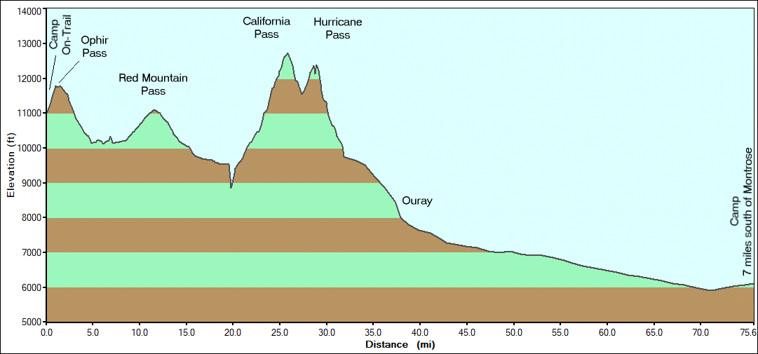
last day for the full group. We'll jump over Ophir pass. The western
side is high clearance vehicle but easy. The eastern side is lower
passenger vehicle, with care in some spots. Florida had an ignition
issue yesterday morning and missed out of Black Bear and the western
side of Ophier Pass. He met up this morning to rejoin the group. We
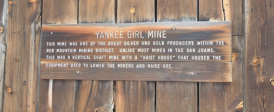
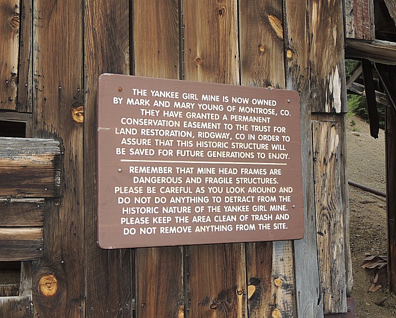
will make a jump through a mining district with a stop at the Yankee
Girl Mine. Florida wanted to re-run Poughkeepsie Gulch and I said yes
so we made a quick trip there and followed the same route back via
Corkscrew Pass - but at the pass we deviated down a dead end to check
out some different views. A group dinner at Montrose capped the day. |
|
|

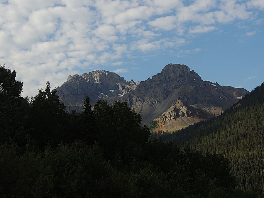
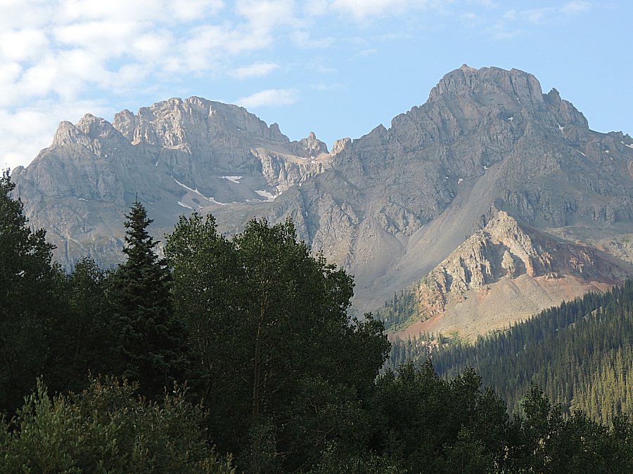
| Morning at camp between the town of Ophir and
Ophir Pass. |
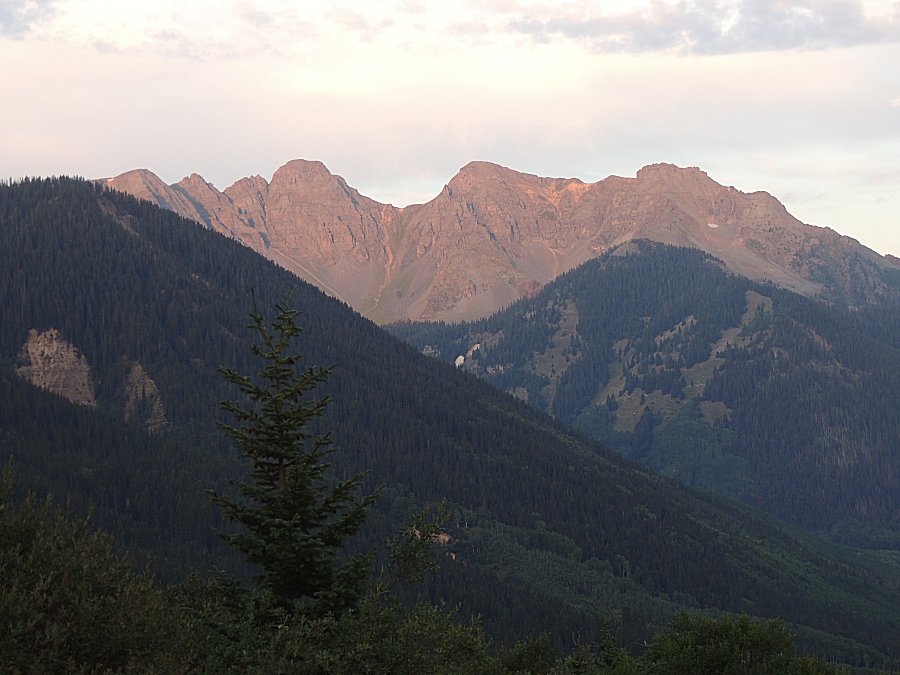
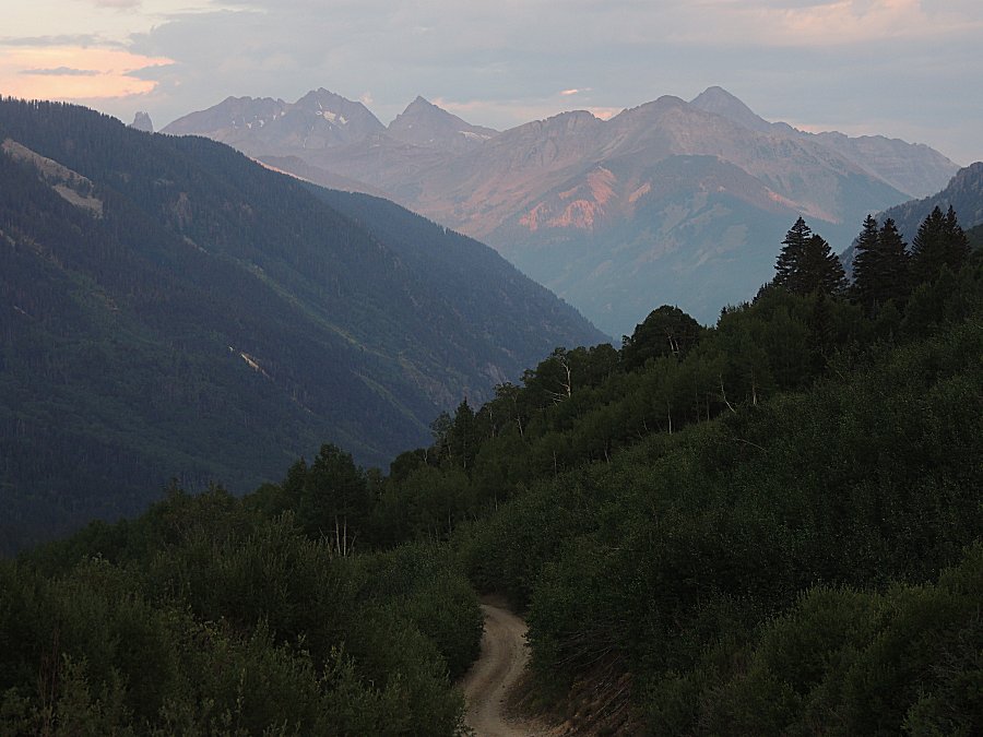
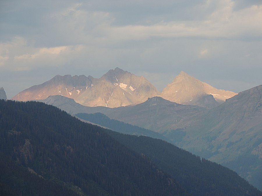
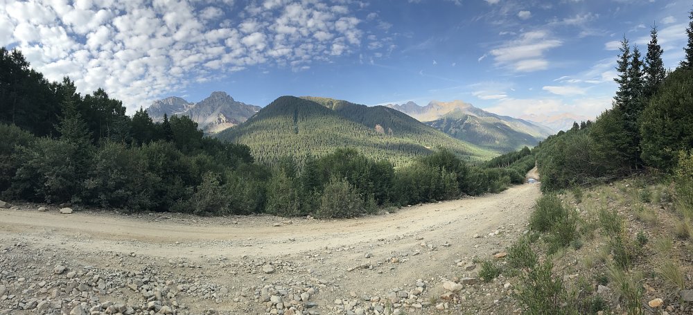
| Panorama Click for a larger size |
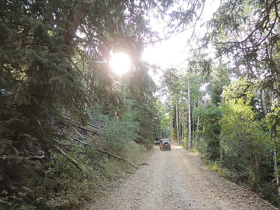
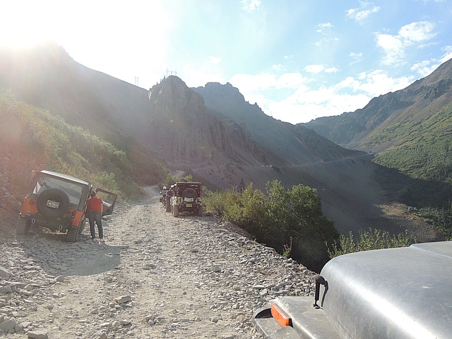
| We can see traffic coming down - so we wait. |
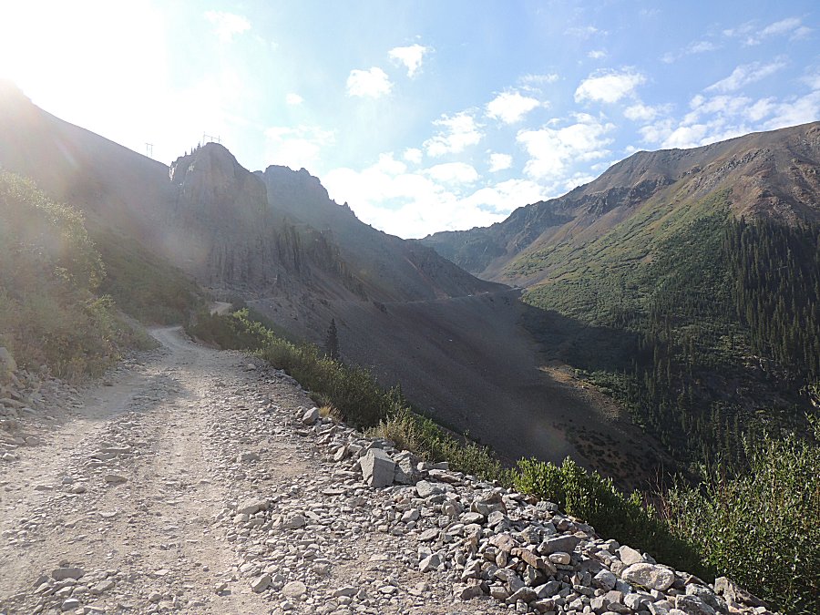
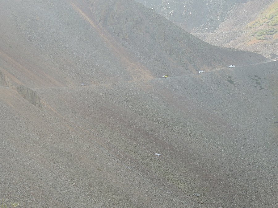
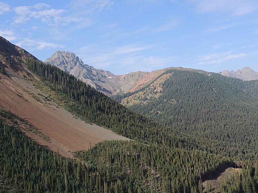
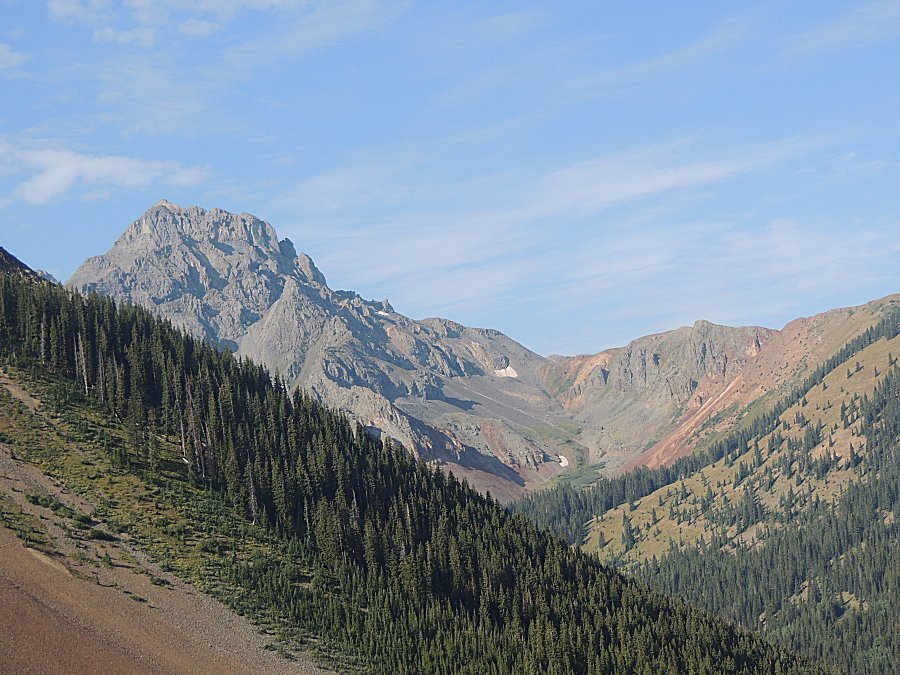
| A bit of haze today |
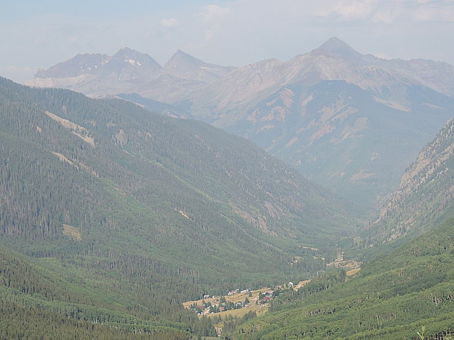
| It would be a few minutes for traffic to reach
us. |
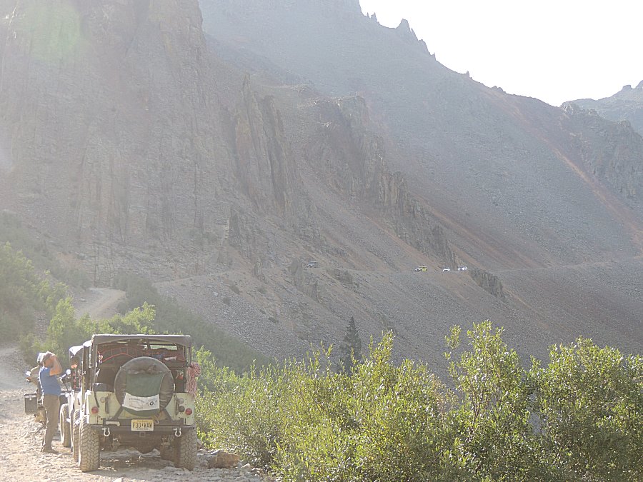
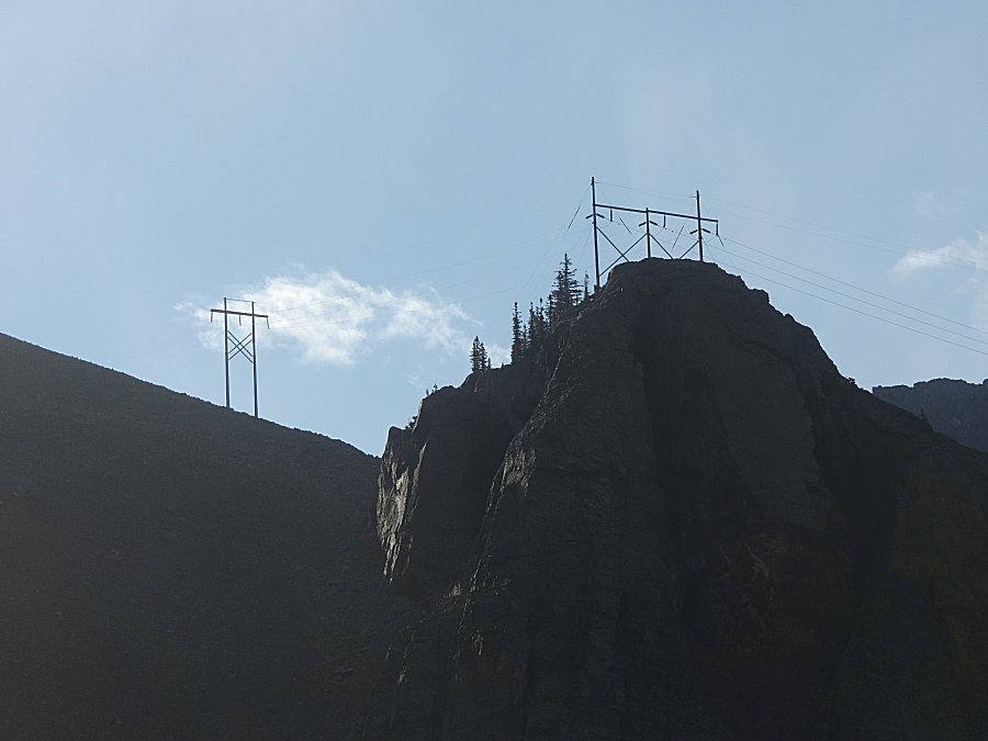
| These
"grand mountain vistas" soak up big power lines. They are passing right
through the picture - yet it is as if it's only a "natural" setting. Oh, there they are - looking hard - a faint light line higher on the left to lower on the right, somewhat in the center of the scene. |
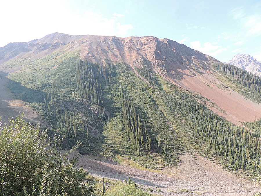
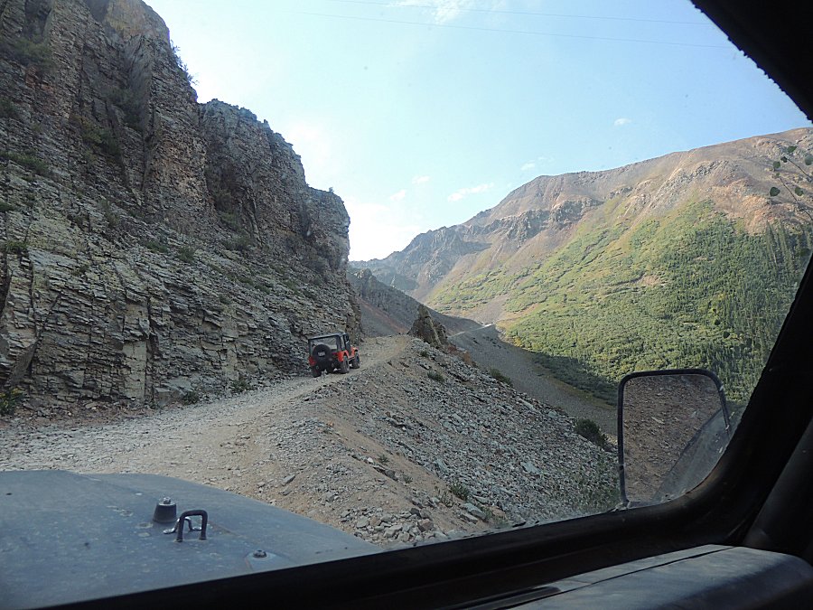
| Here we can see the power line cut in the pine
trees - yet the poles and lines are not visible. |
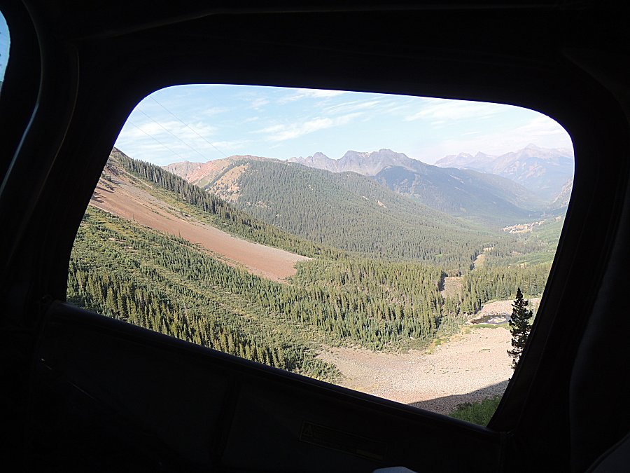
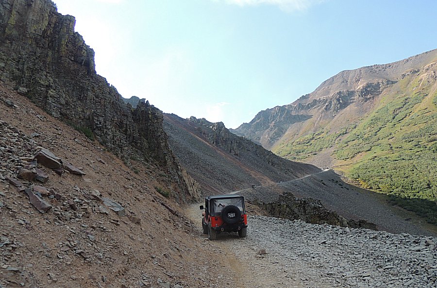
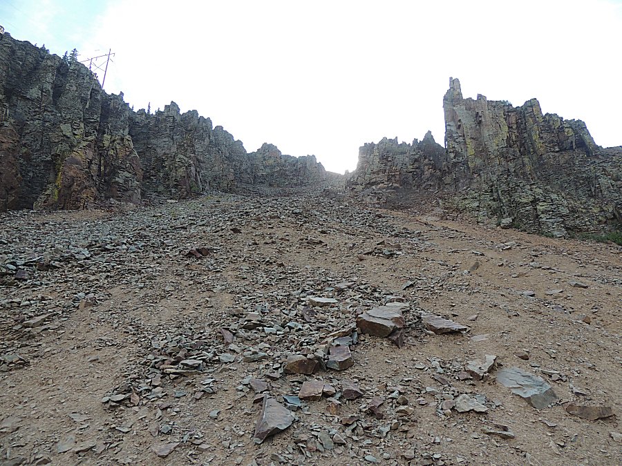
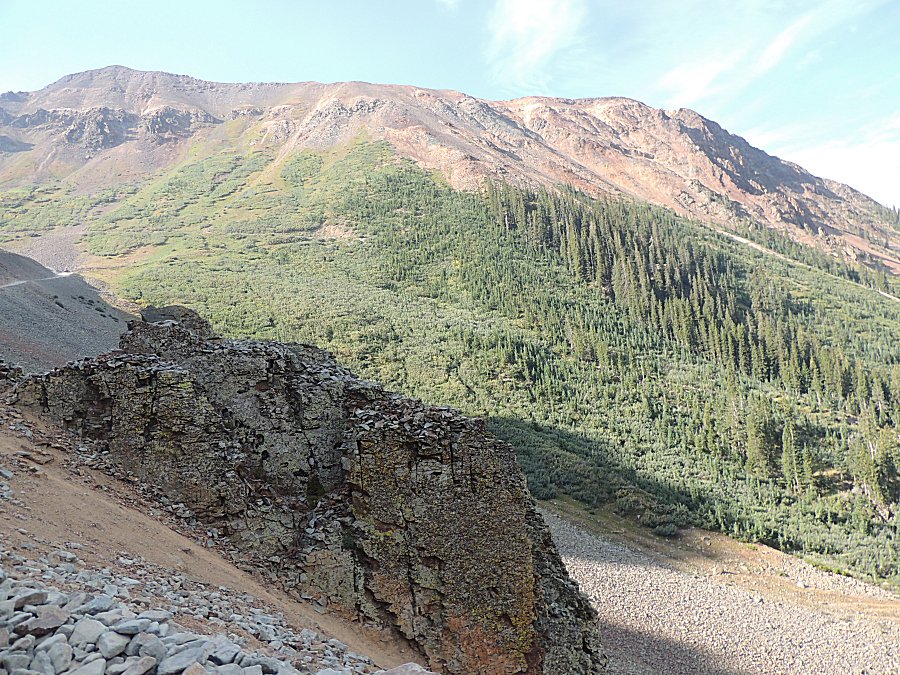
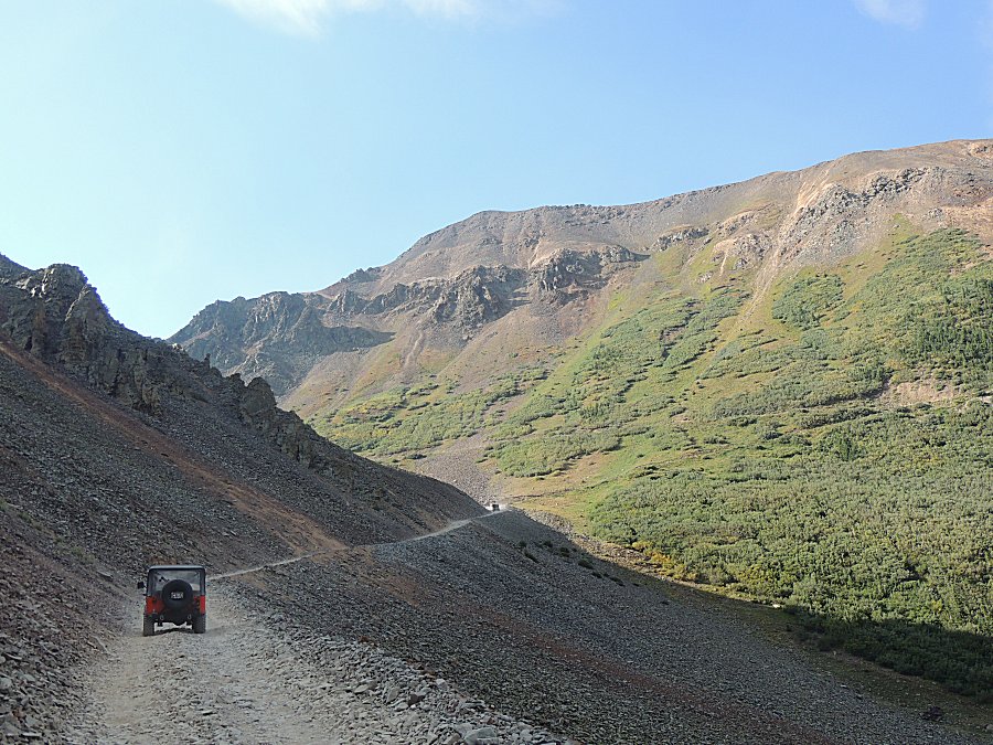
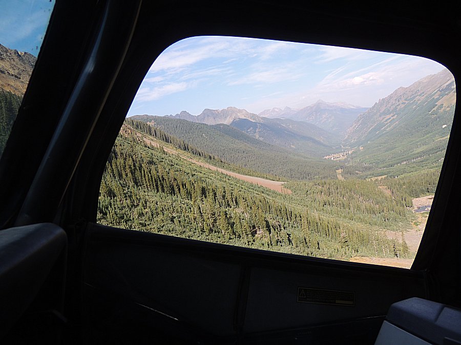
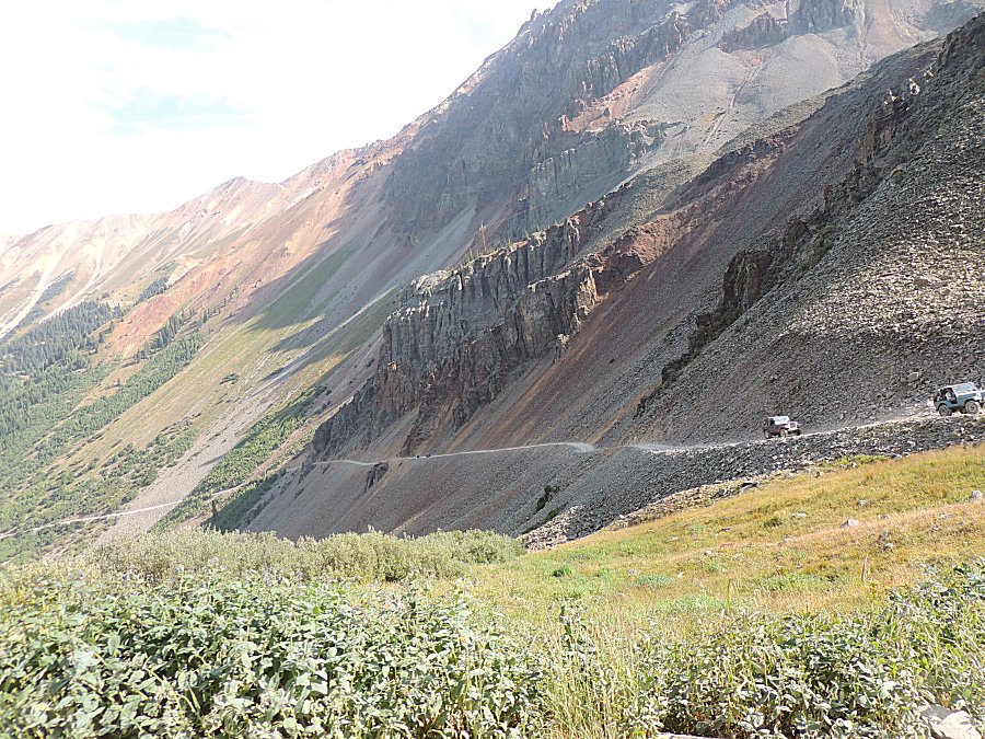
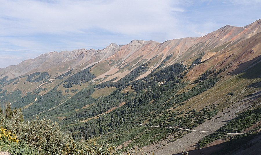
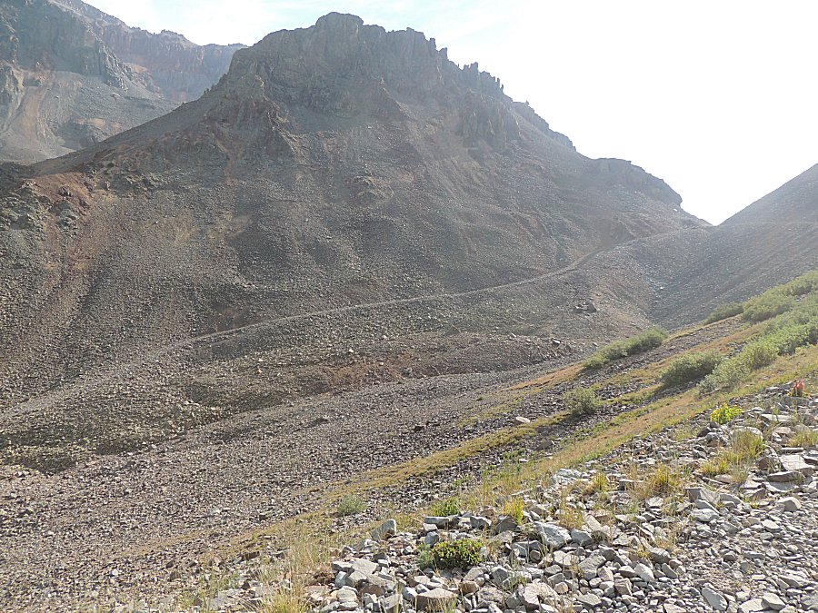
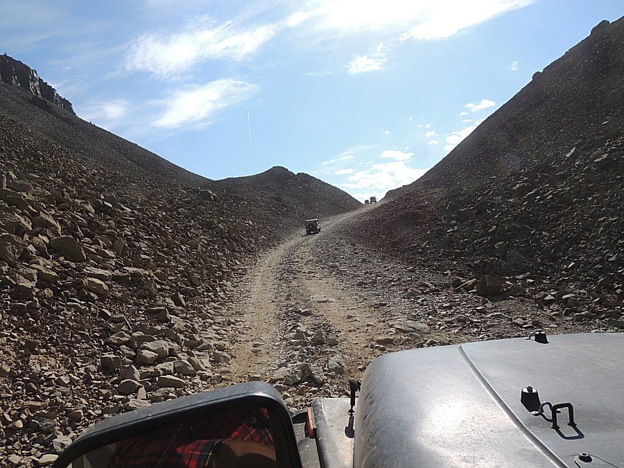
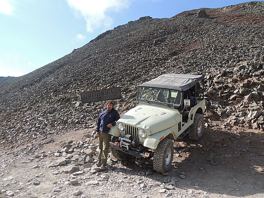
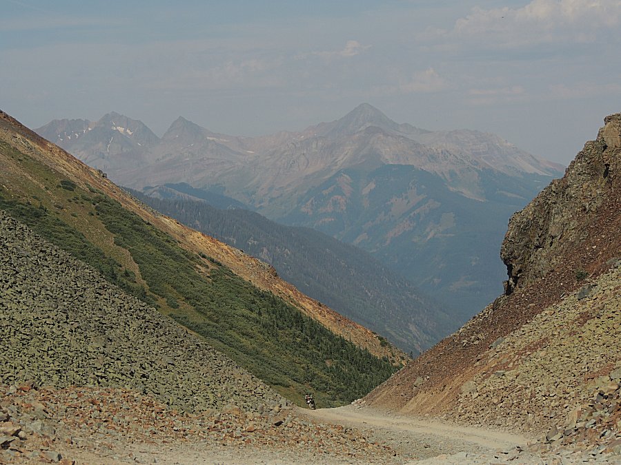
| The
west side of the trail is fairly easy but would be high clearance
recommended. The east side of the trail is low clearance car capable
(with care). |
| The old route to the pass. |
| Fairly steep. |
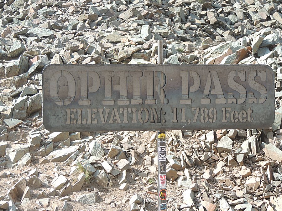
| Ophir Pass Maryland |
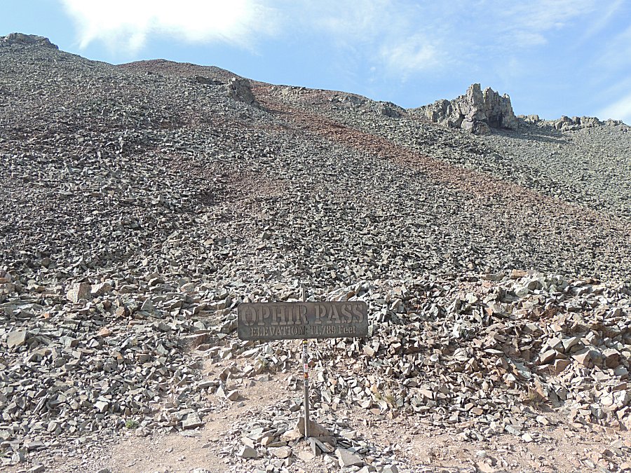
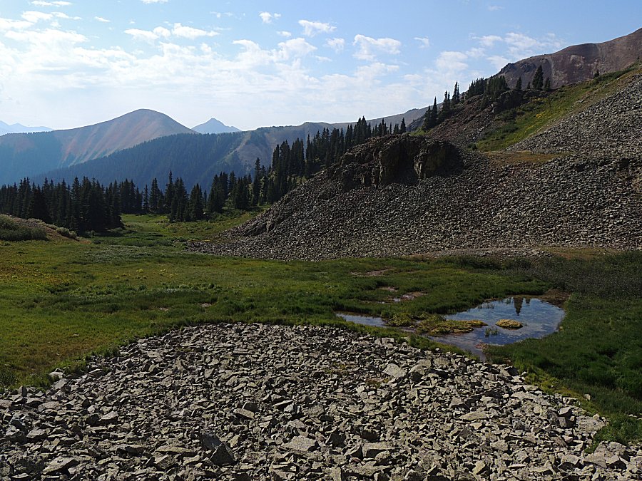
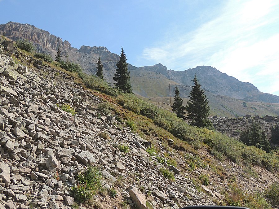
| There
was a bit of commotion happening. In the below picture one can somewhat
make out a trail cut from mid-left of the photo going hither at the
center of the photo. There is a mountain lake that is nearby. A mom
with three boys started the hike with the boys getting ahead. One of
the older (the oldest) boy picked up one of these jagged rocks and
tossed it down and the rock hit a younger boy in the ear - causing some
blood. Mom was asking others for bandages. I pulled out my medical kit
and offered whatever she wished. It wasn't serious enough for them to
cancel their hike and they went on. `hope that'll be the last time the
kit will be used! |
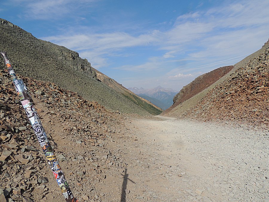
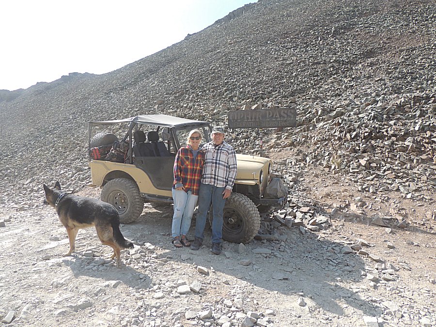
| Ah, Florida and friend caught up with us from
the east side of the pass! |
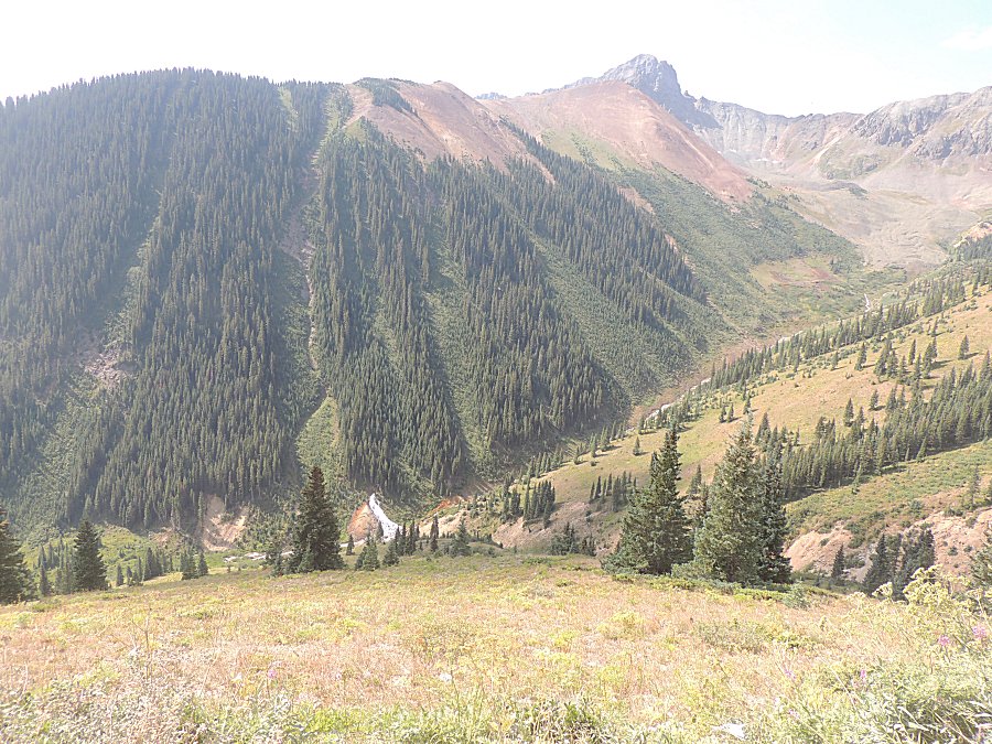
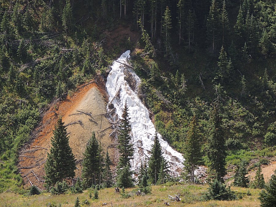
| White mineral coating the rock |
| Another dead end side trail before coming down
to the highway - US-550. |
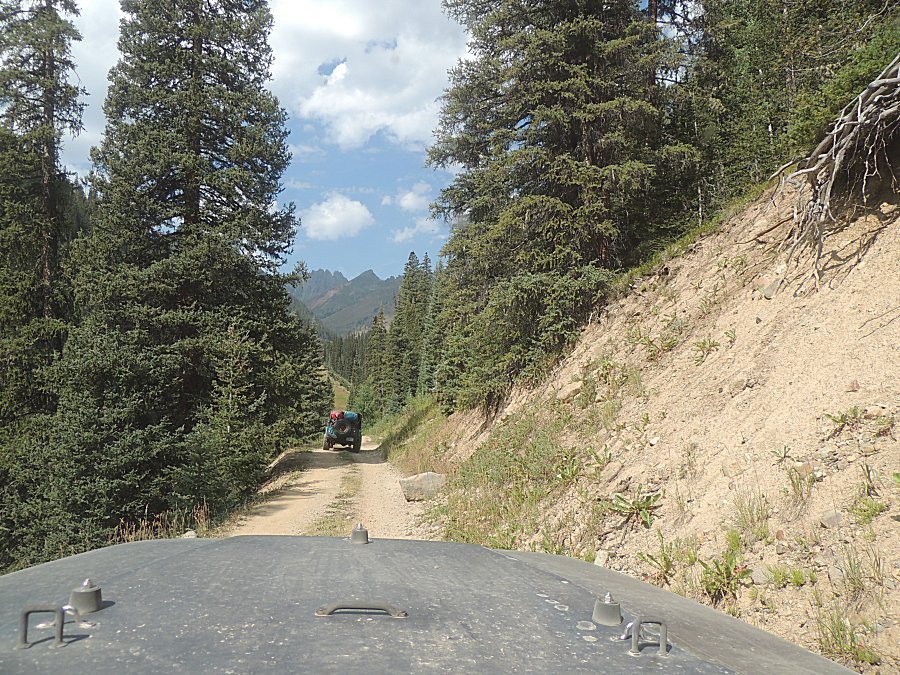
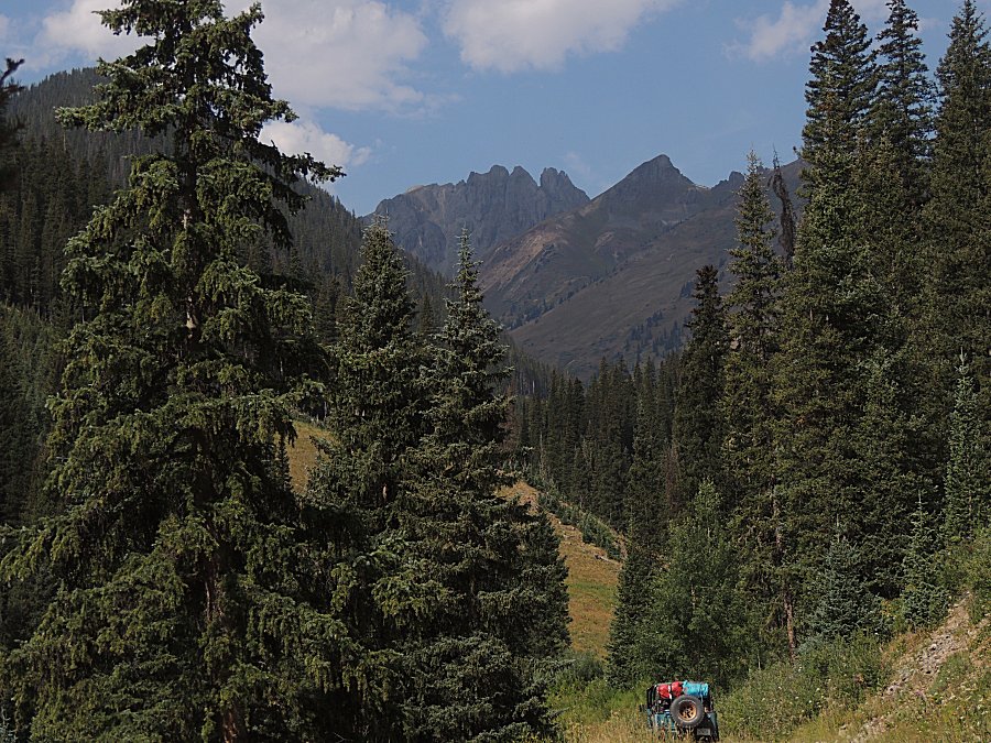
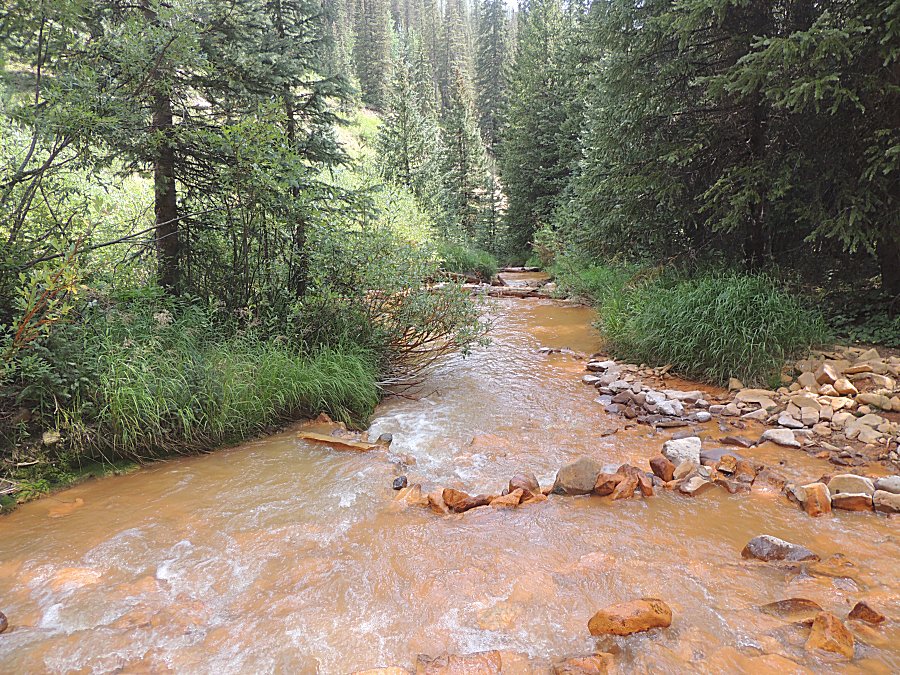
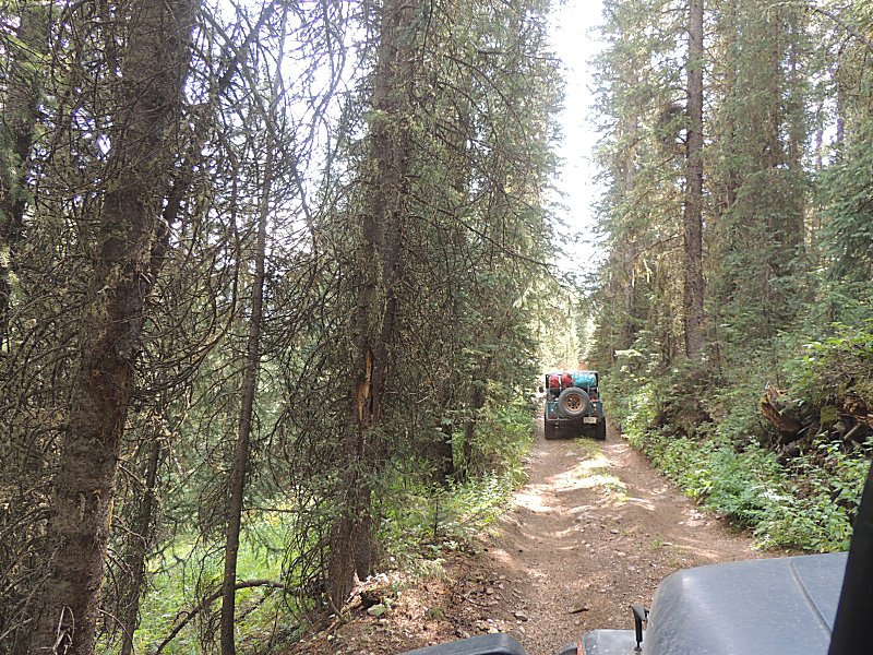
| A large tailings pile |
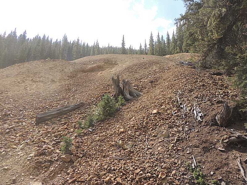
| We'll stop here and head back - not much to
look at. |
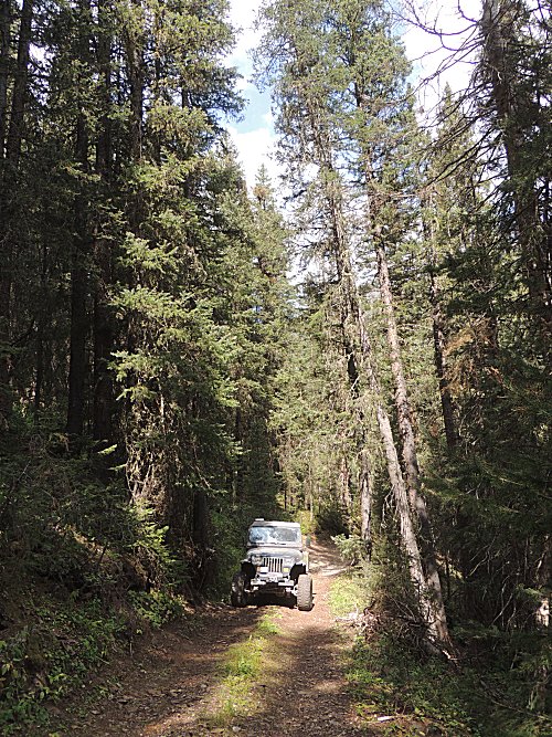
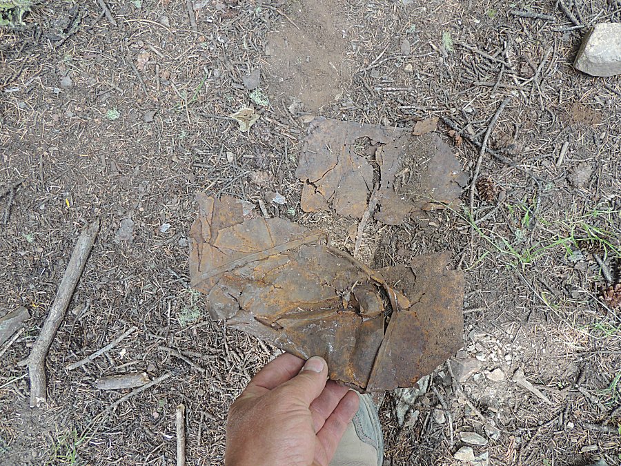
| How old could this can be? |
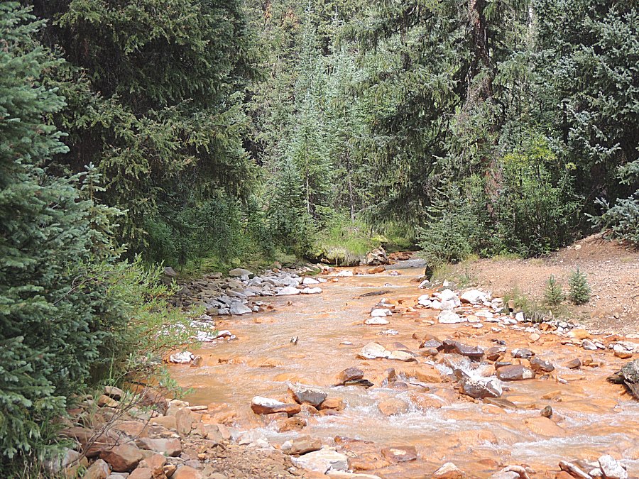
| Looking across the valley to the tailings pile
we were at. |
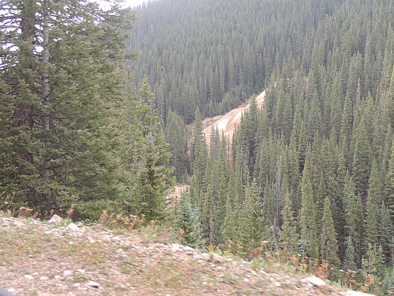
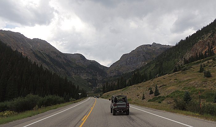
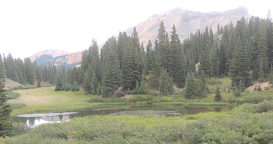
| Down to the highway. We'll head north to the Red Mountain mining district for the mine roads east of the highway. |
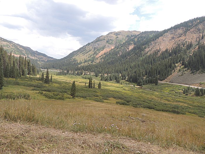
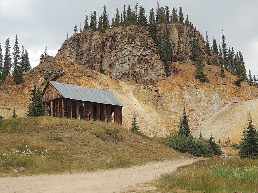
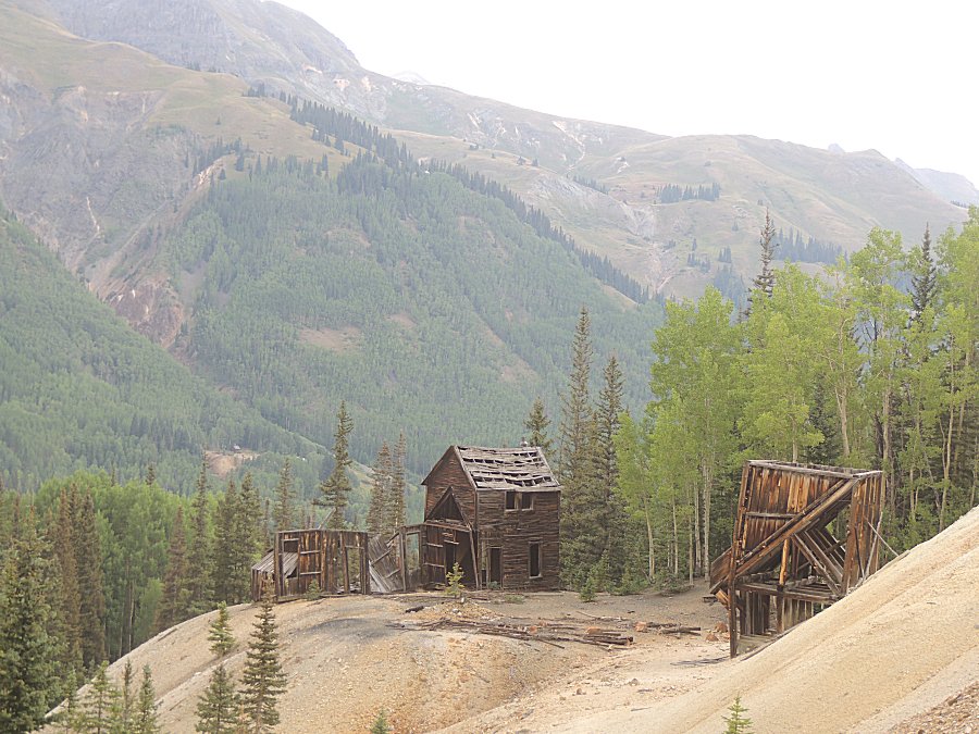
| Mine relics time! |
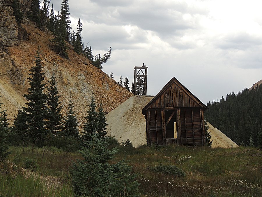
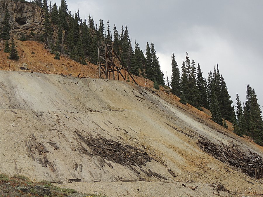
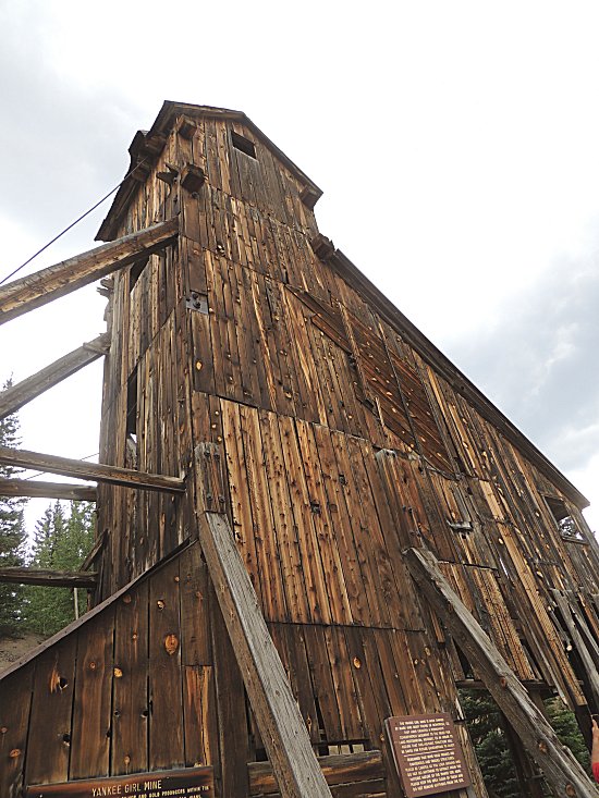
| A headframe / hoist over a mineshaft. |
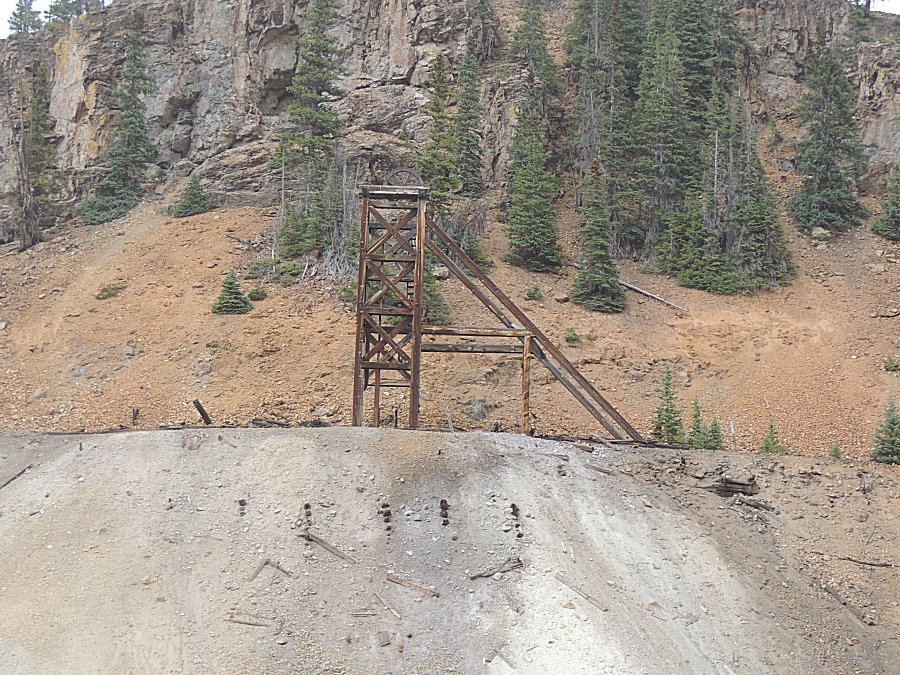
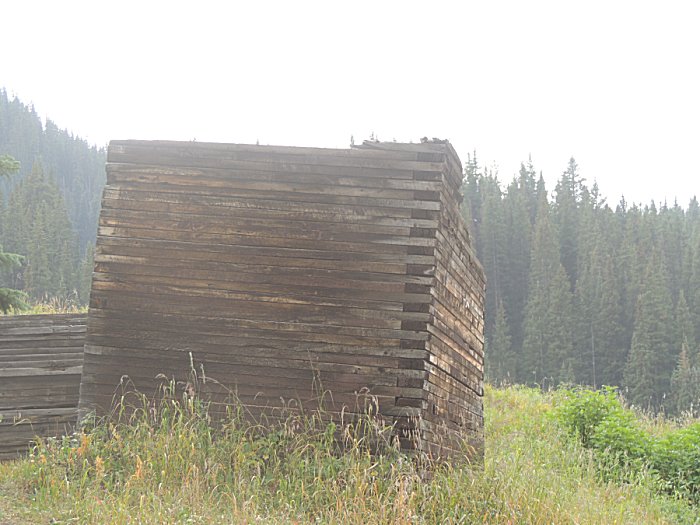
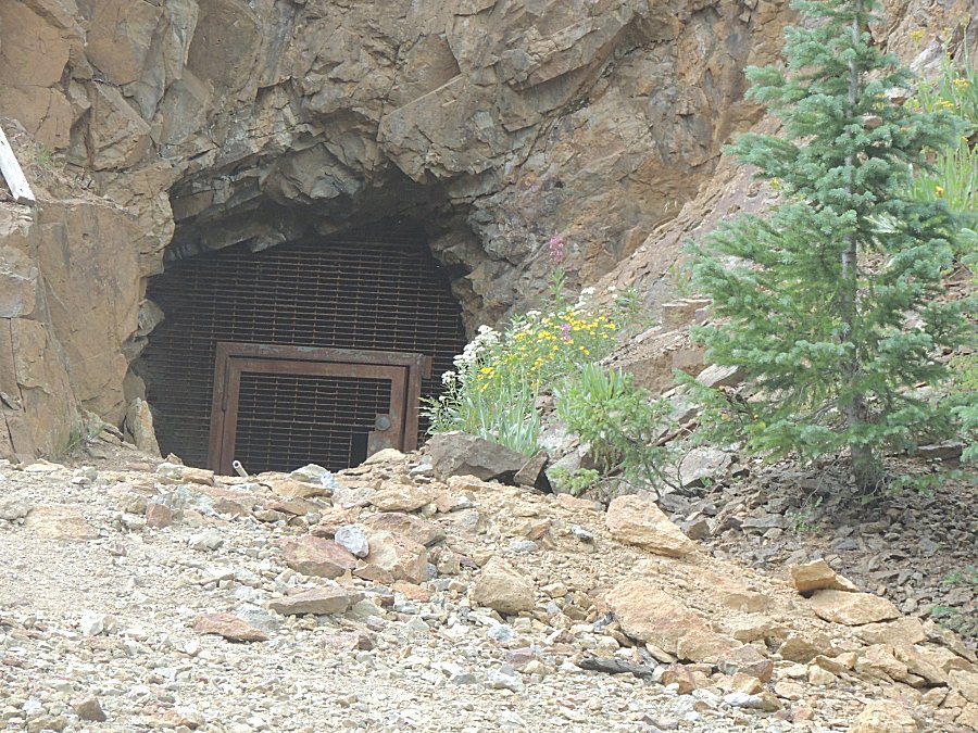
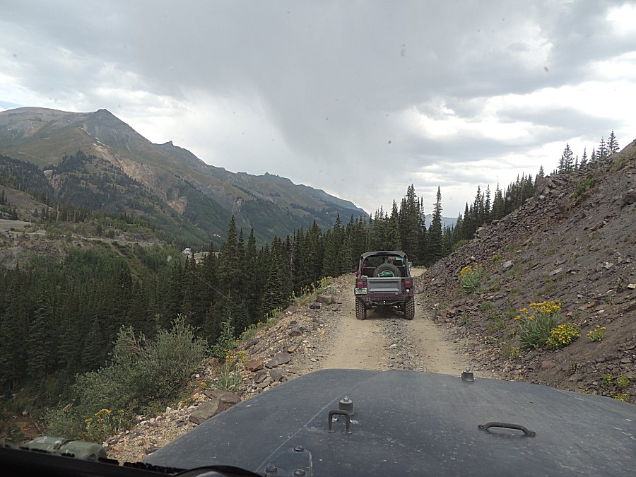
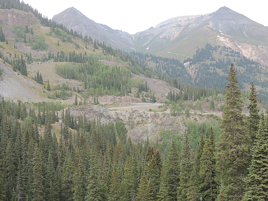
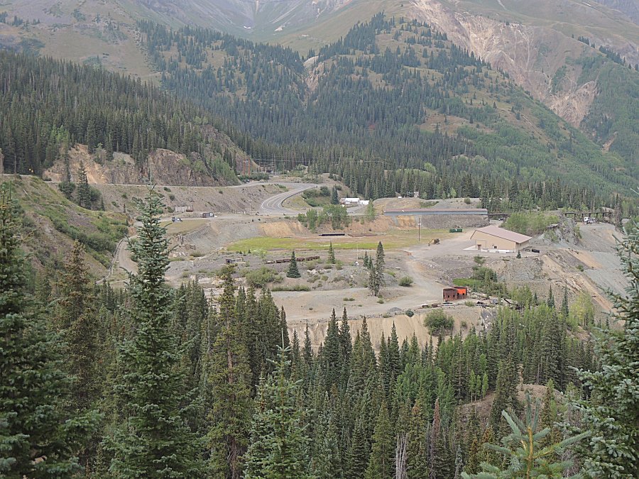
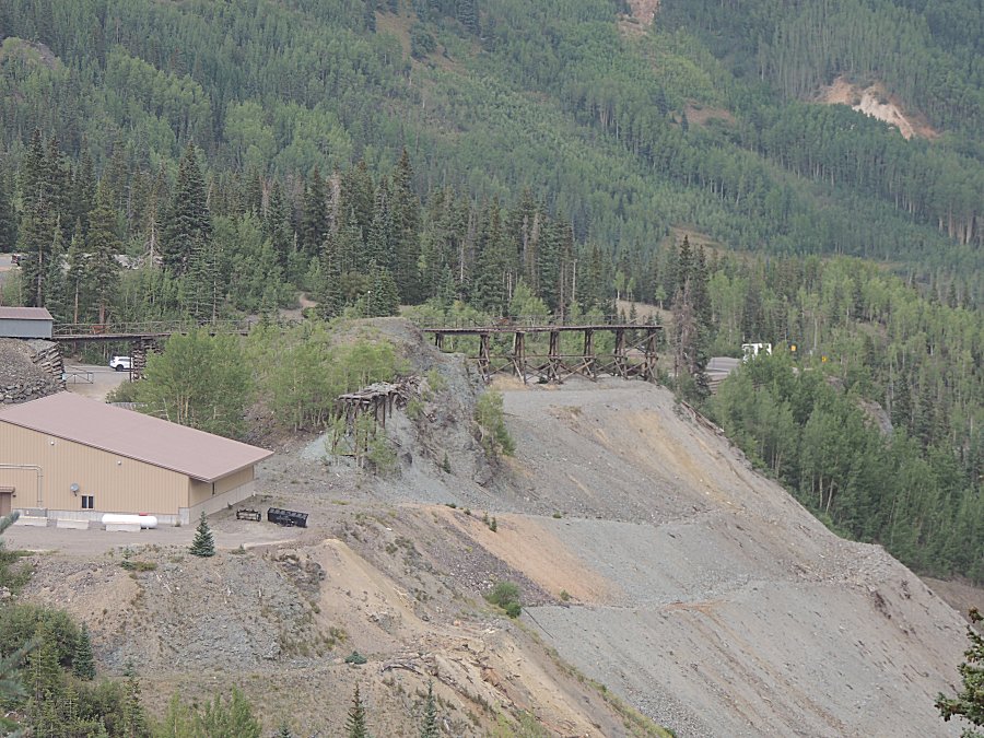
| Looking
across to the highway. While I have not traveled that section of
highway too many times, each time I have I've looke across the valley
at "the trails, over there" - today's the day to travel some of "those
trails". |
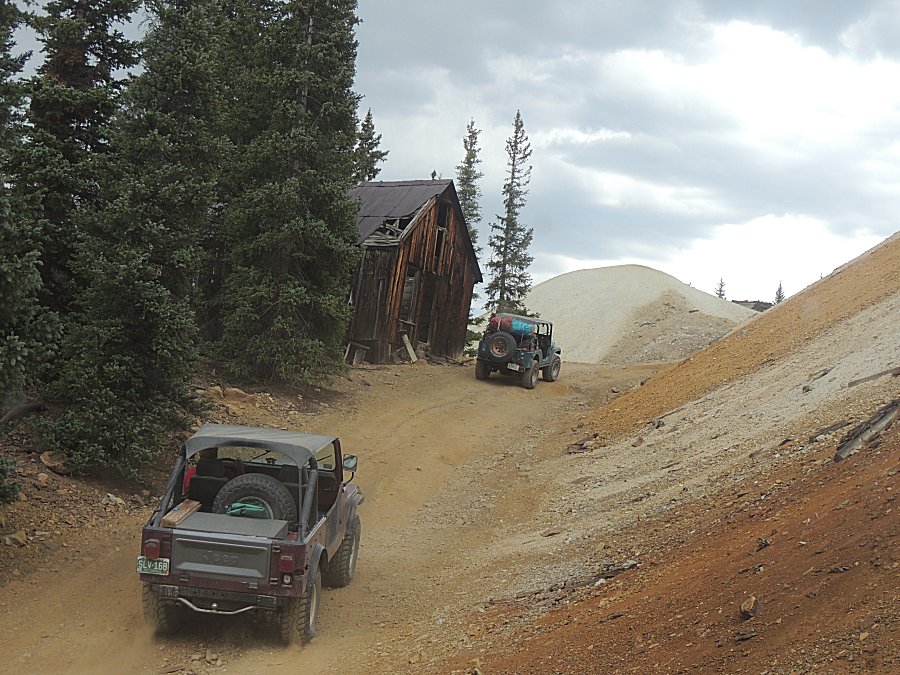
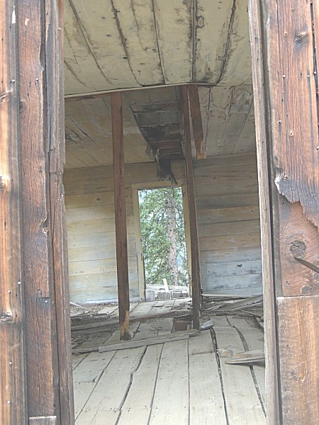
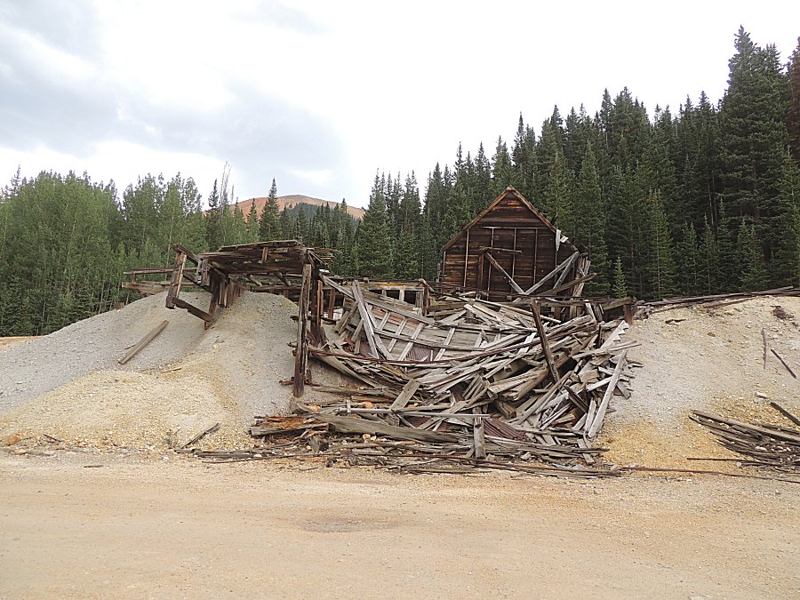
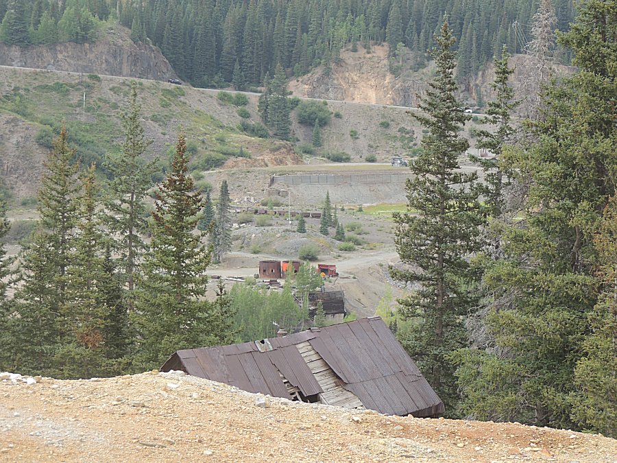
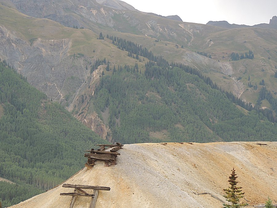
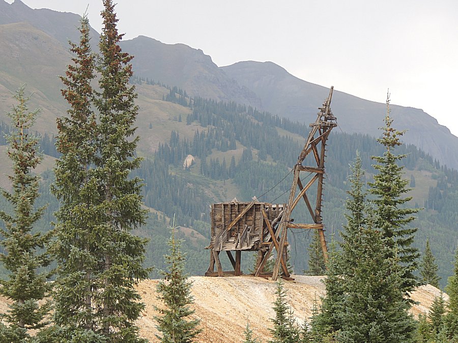
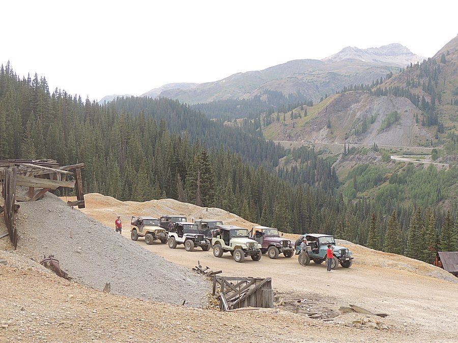
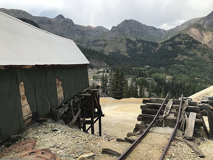
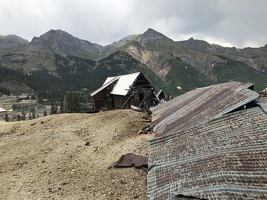
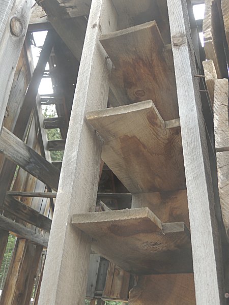
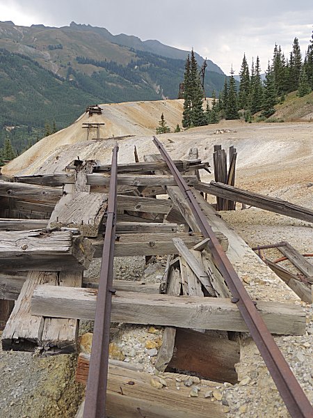
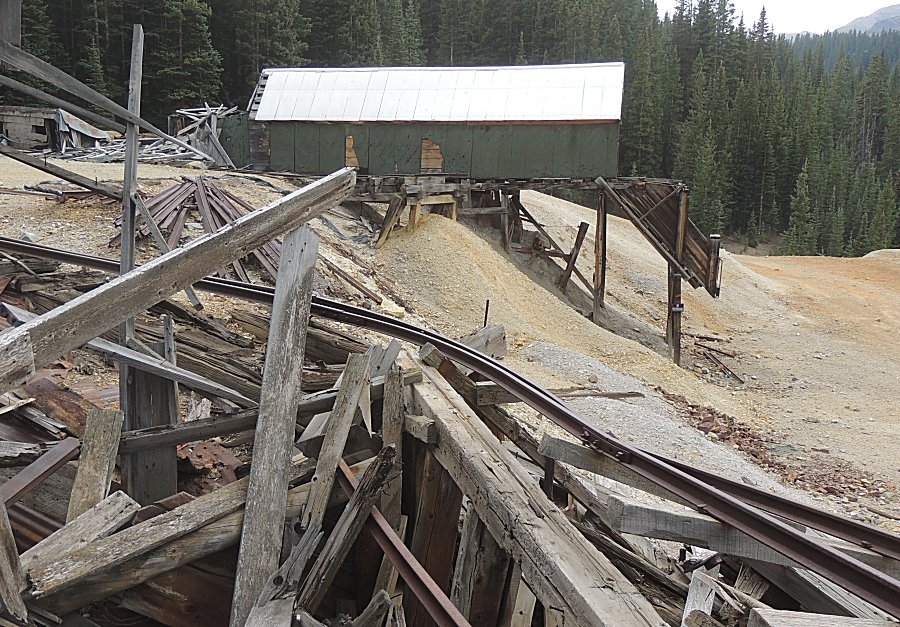
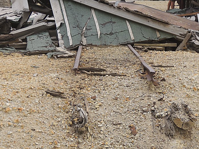
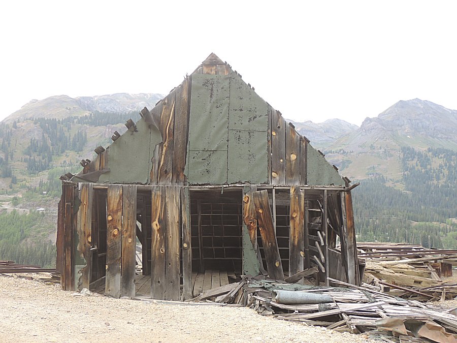
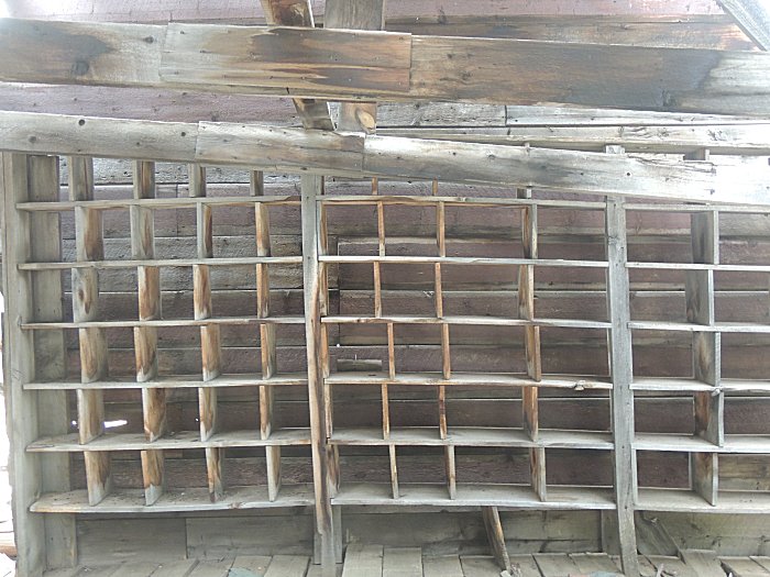
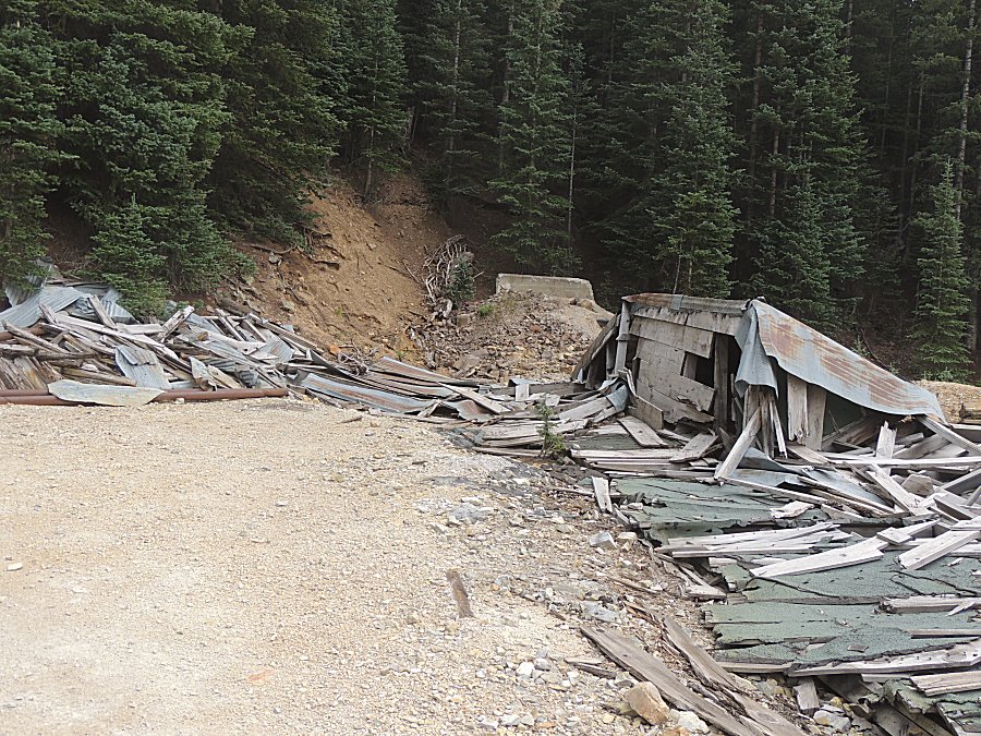
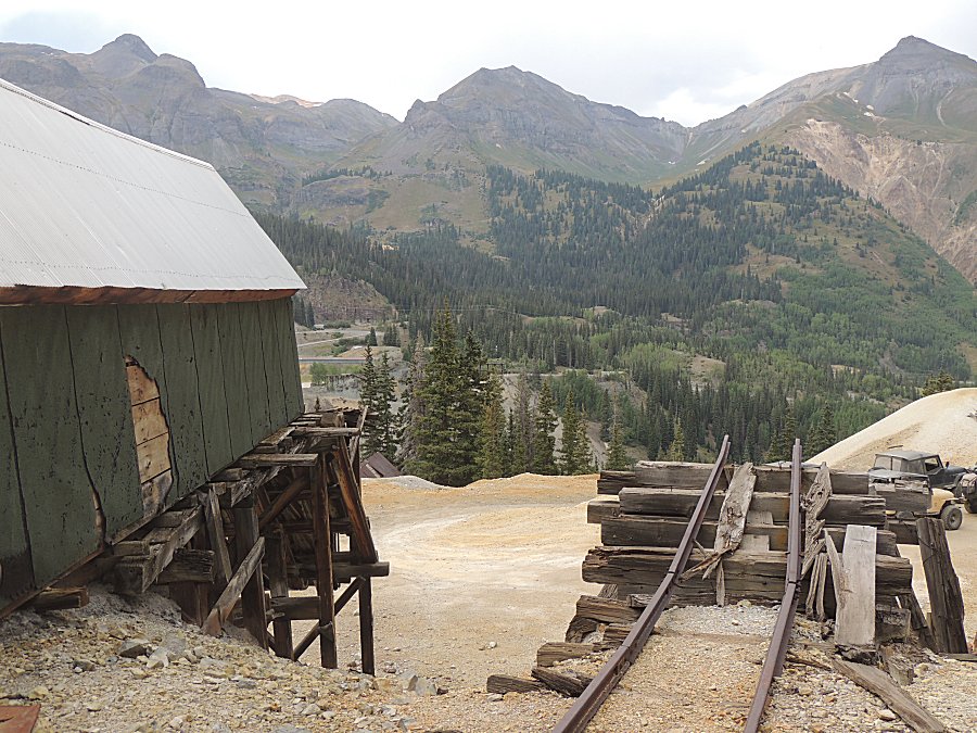
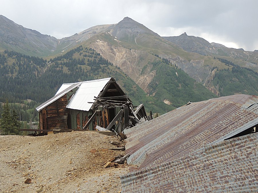
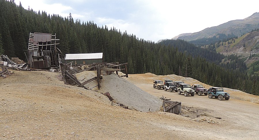
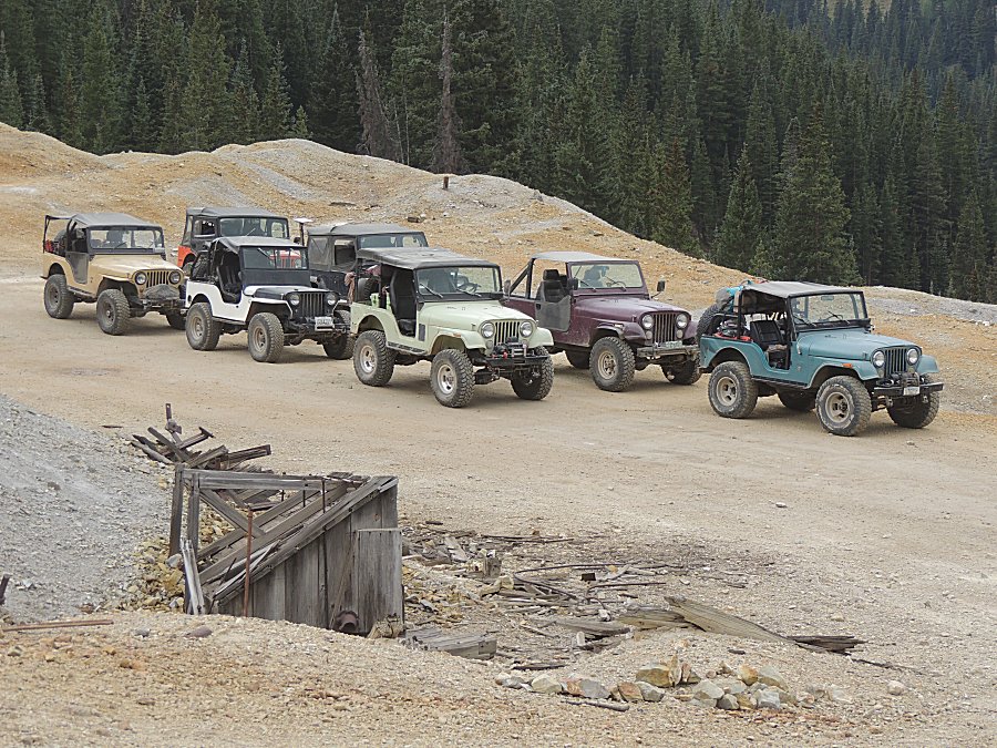
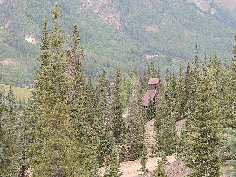
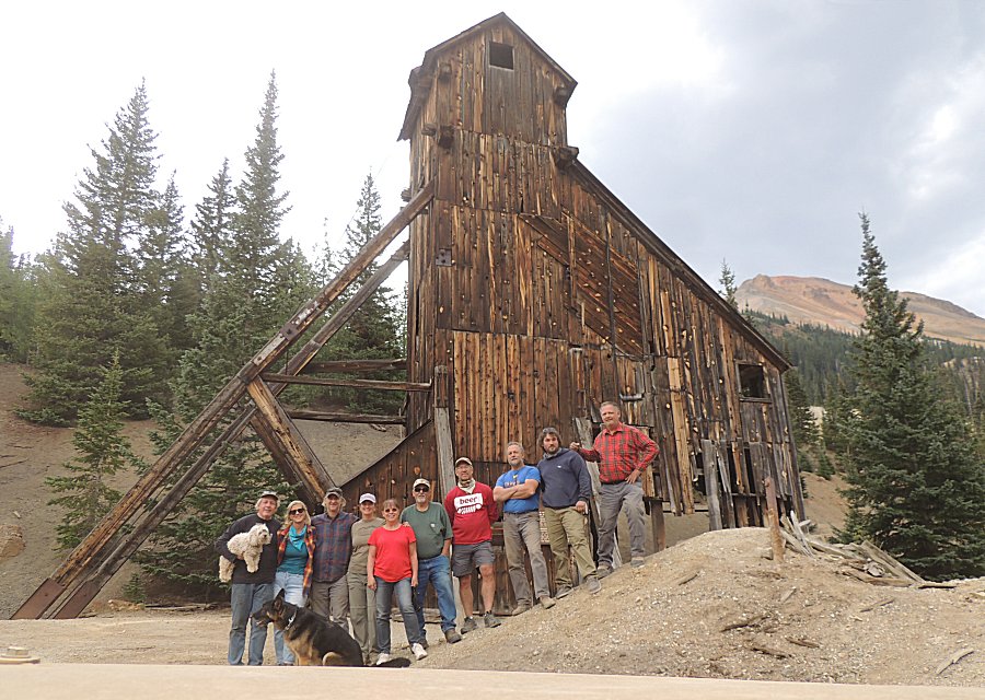
| The Yankee Girl mine |
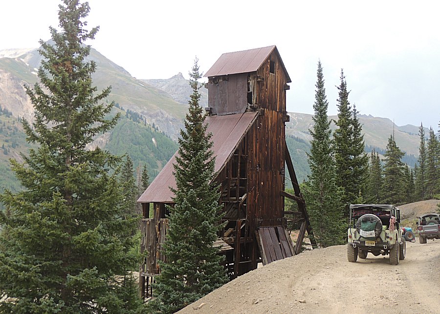
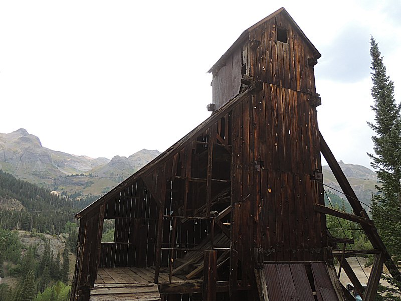
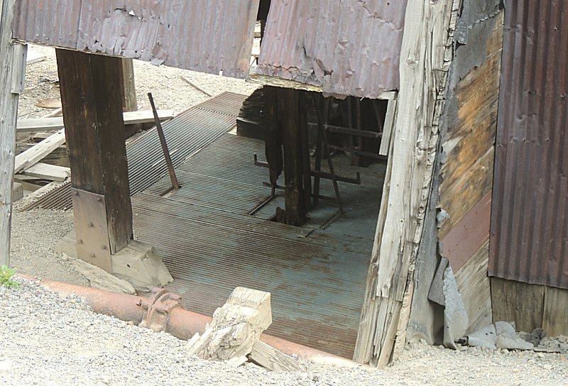
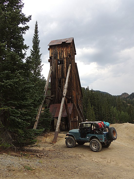
| The hoist cable |
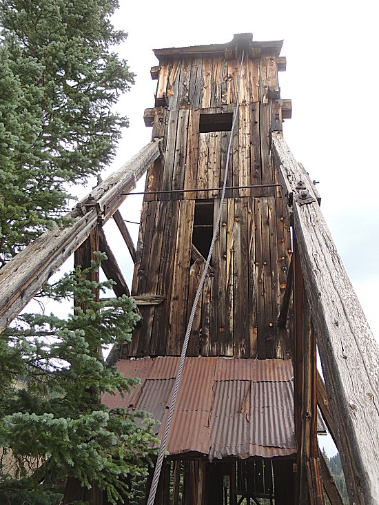
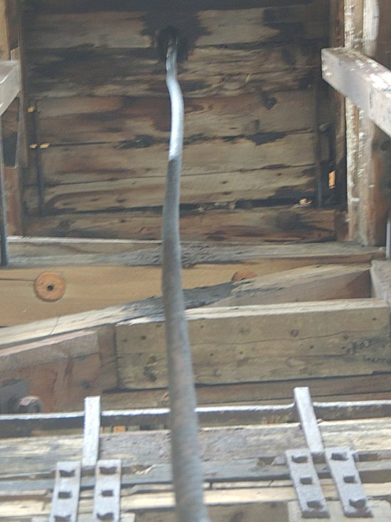
| And the hoist cable coming down to the hoist
frame / car |
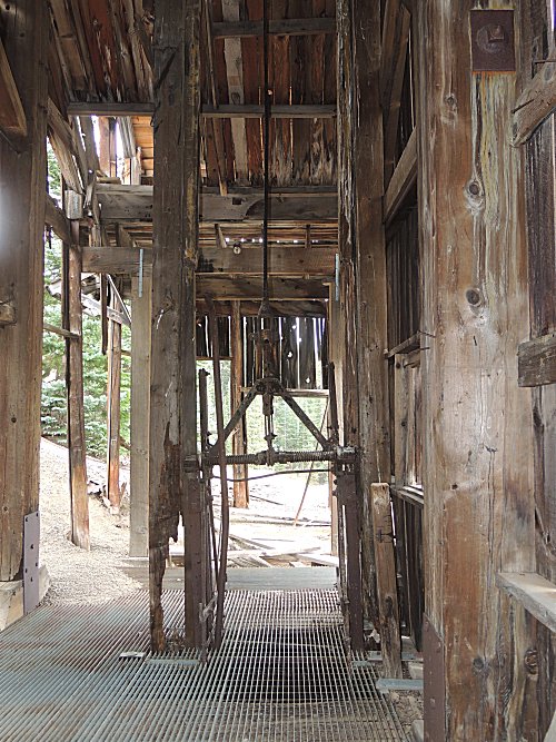
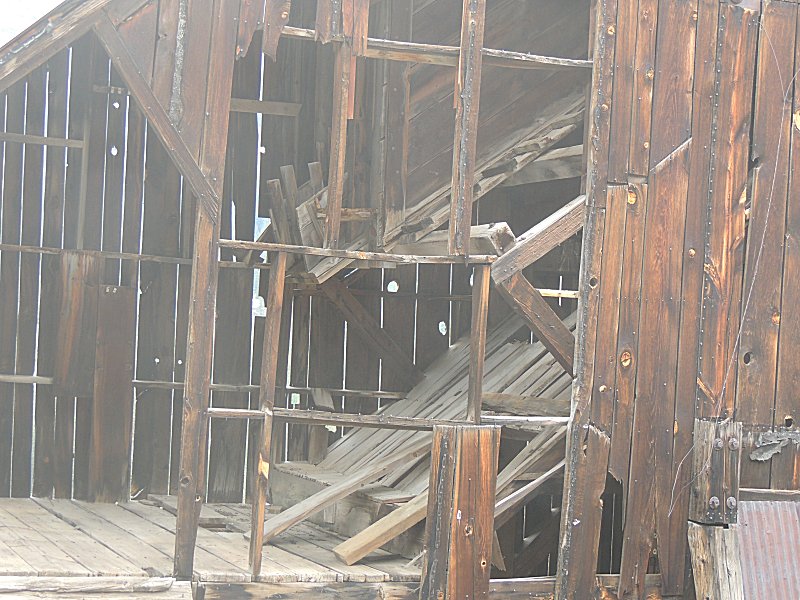
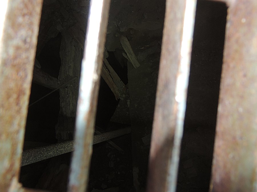
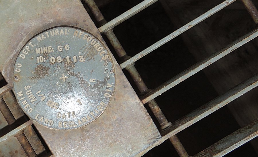
| Looking through the slats down the mineshaft -
somewhat filled with broken timbers. |
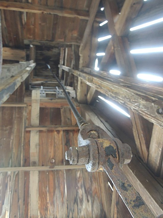
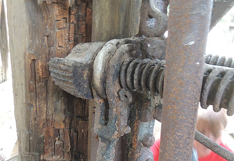
| Emergency stop mechanism. Spring
activated. |

| Most
folks are headed back to camp. Florida wanted to re-run a section of
trail so I said yes. We'll re-run up Mineral Creek to Poughkeepsie
Gulch (including the hard obstacles) then to Hurricane Pass and
Corkscrew Pass (with a jump to a dead end spur I wanted to visit) and
back to Montrose
for supper with the group. Only the two of us, we traveled quick. |
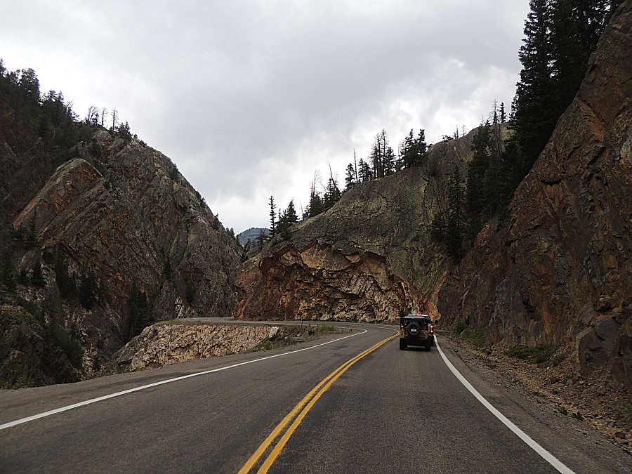
| Florida's pickup towing the jeep. |
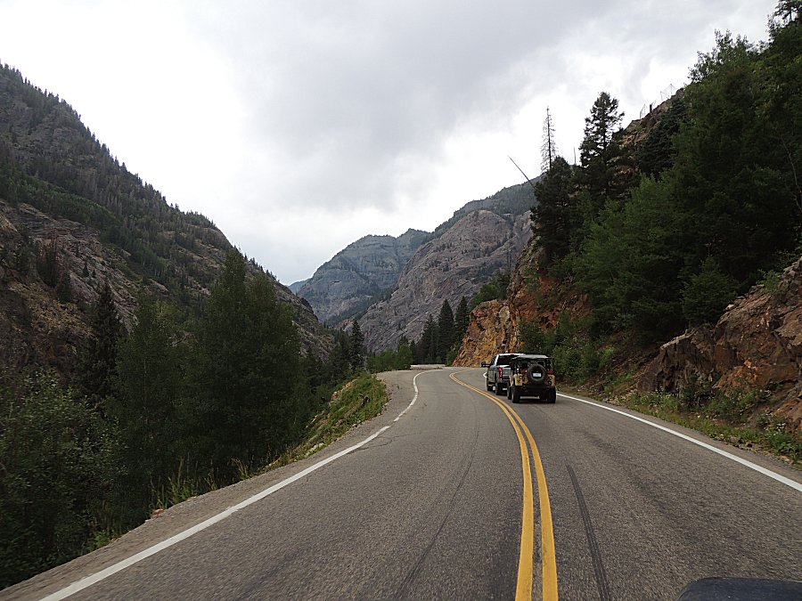
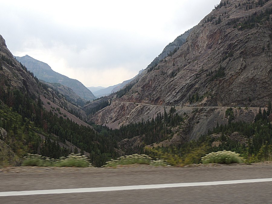
| Iconic US-550 views. |
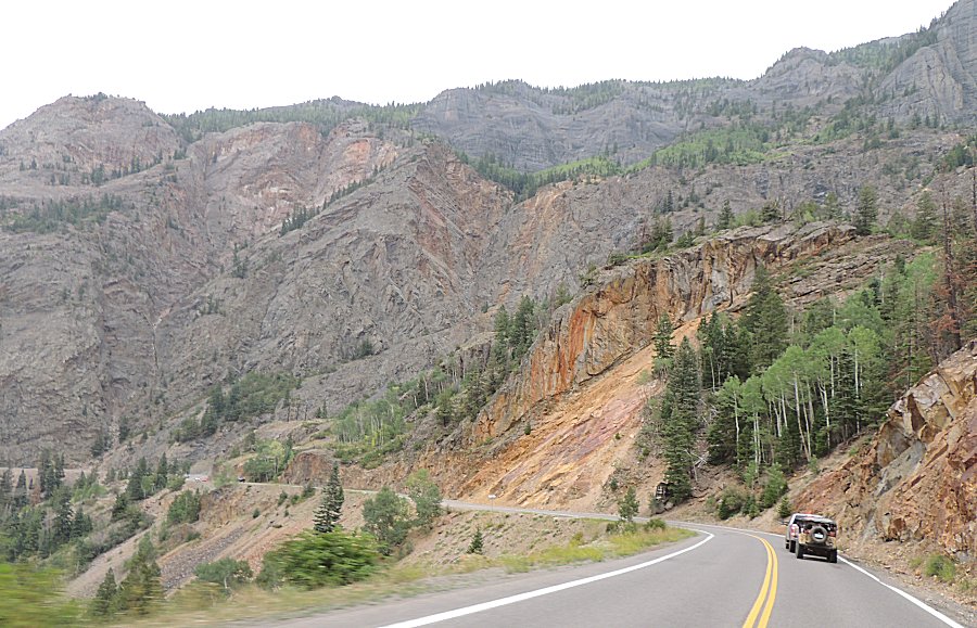
| Florida and I headed up Mineral Creek |
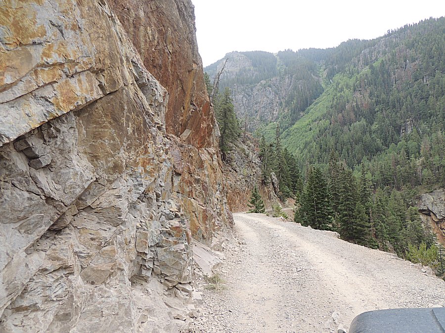
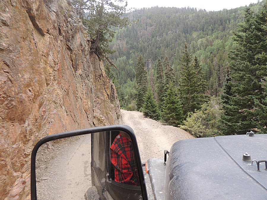
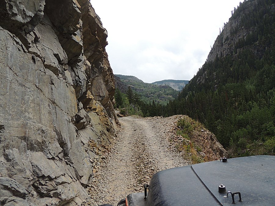
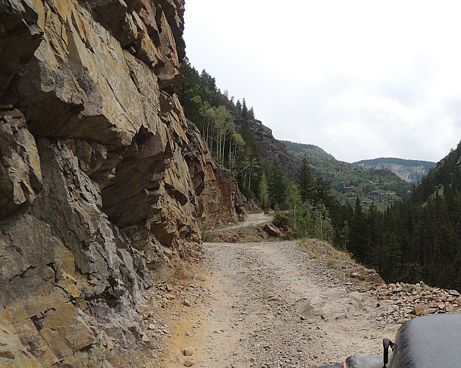
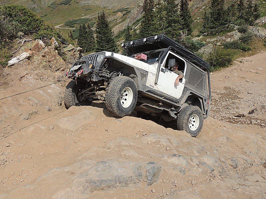
| At the obstacle we spent a bit of time with
others. This white jeep took a winch line assist from their friend. |
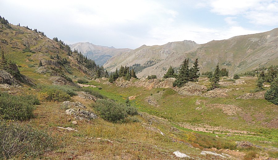
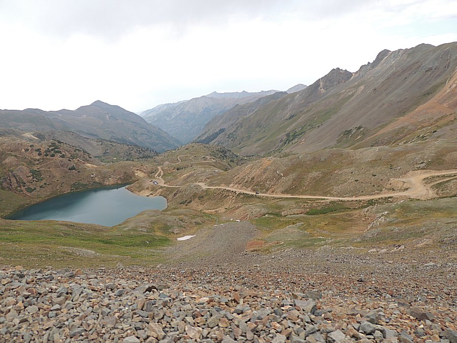
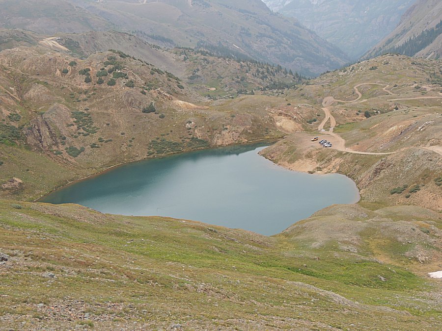
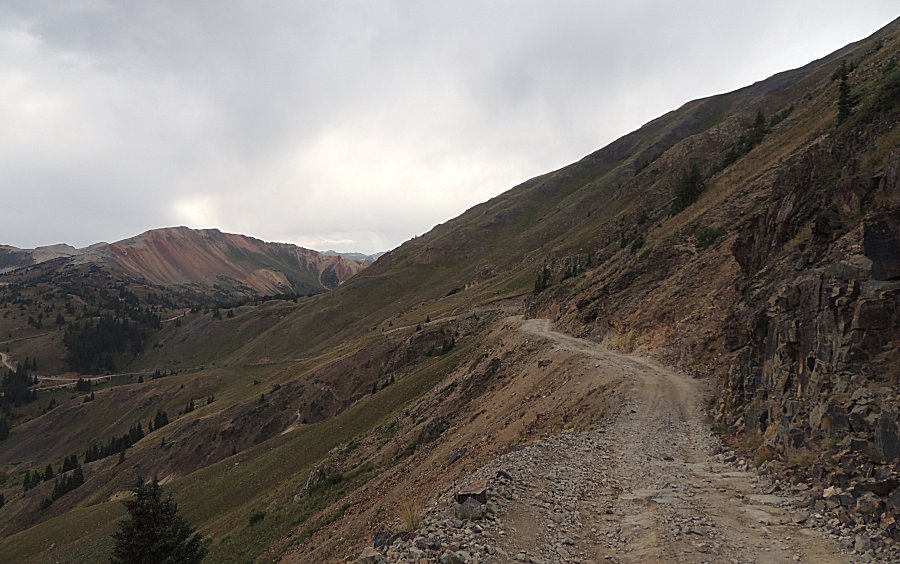
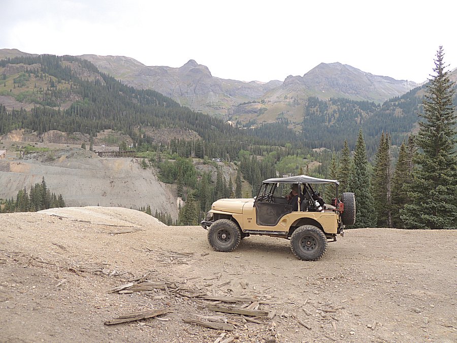
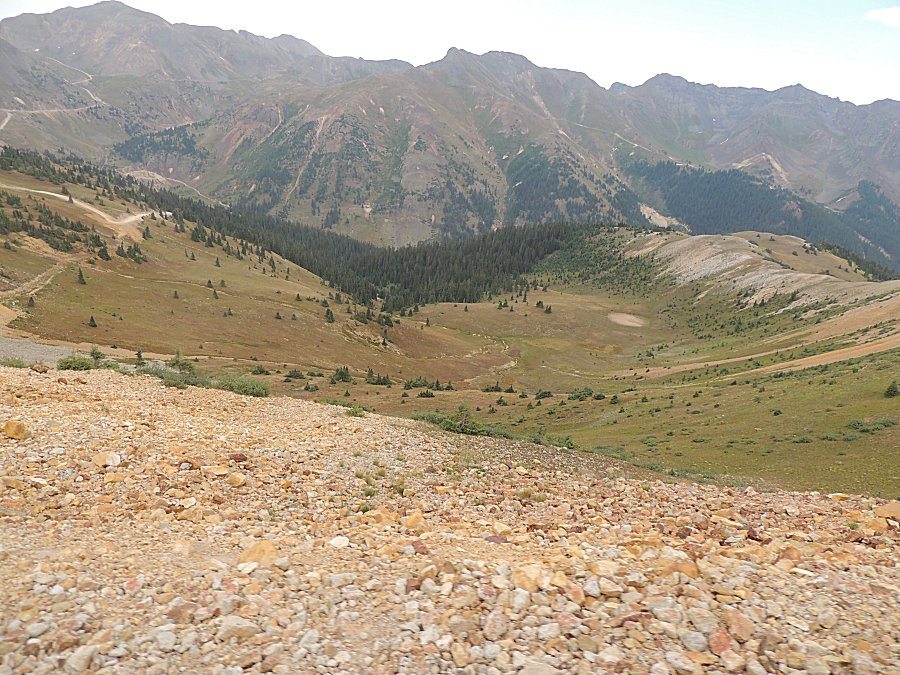
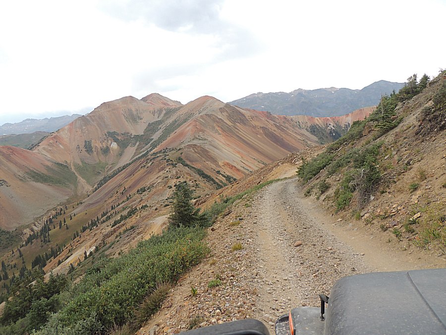
| At
the bottom right corner of this photo is our Corkscrew Pass campsite.
Today Florida and I are jumping on a somewhat short dead end spur to
see what's at the end. Overall, it will travel just off of the left
side of this photo, to the left of the ridge and will end on the ridge
about where the tree pine trees extend up to the ridge - center-left. |
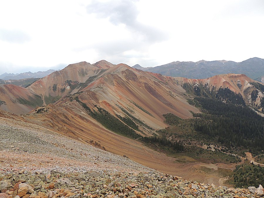
| The ridge mentioned above is to the right. |
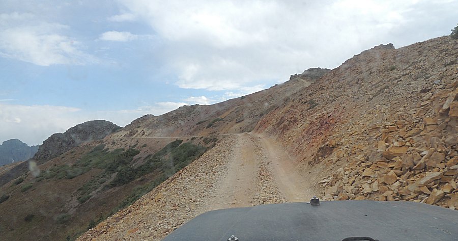
| Just a tad up-right of center in this photo is
a white tailings fan. That fan can be seen in several photos above as
reference. |
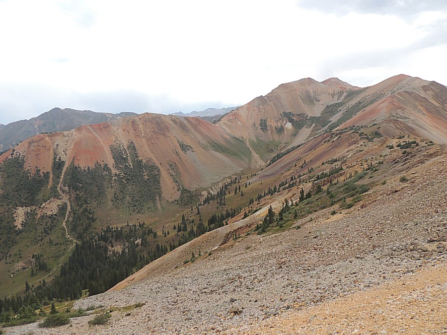
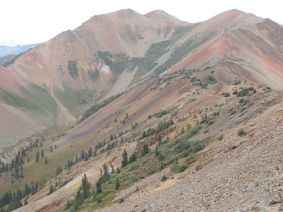
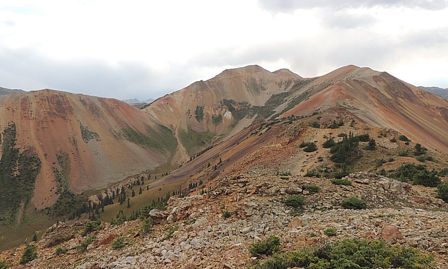
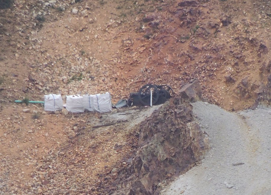
| Zooming into that white tailings fan. |
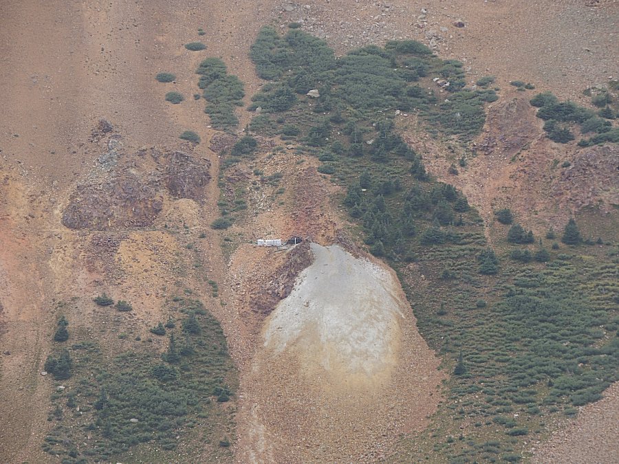
| I wonder what is in the white bundles. Could
the helicopter have delived those items? |
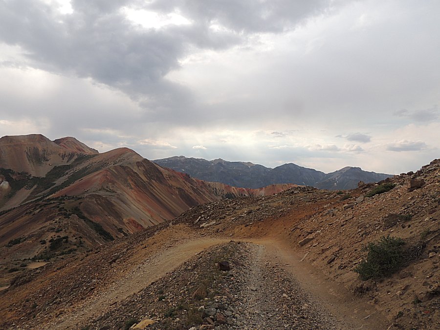
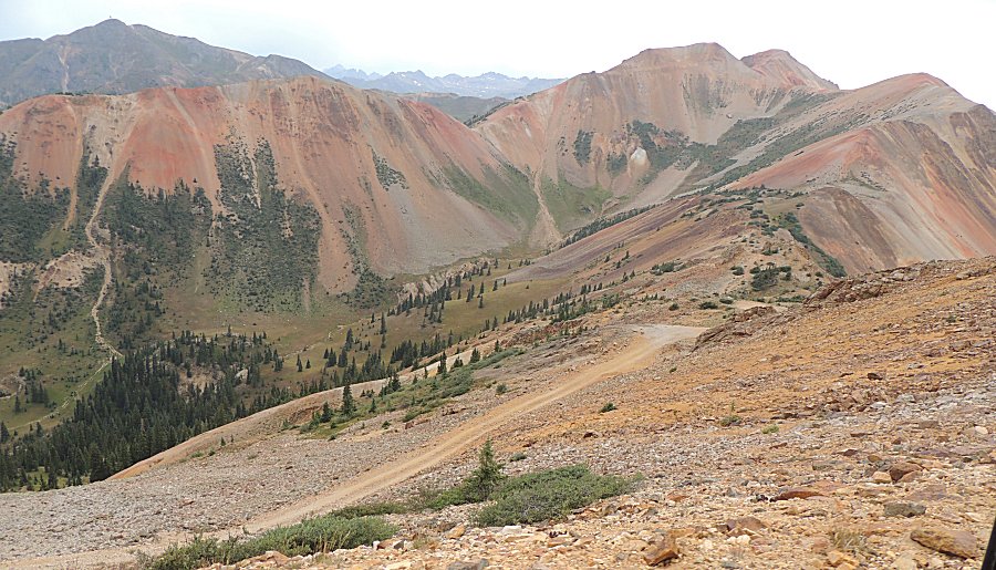
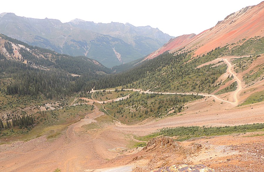
| At
the ridge looking over to the Corkscrew Pass trail. Our campsite is
where the trail just enters /disappears into the thick pine trees. |
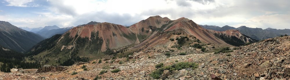
| Panorama Click for a larger size |
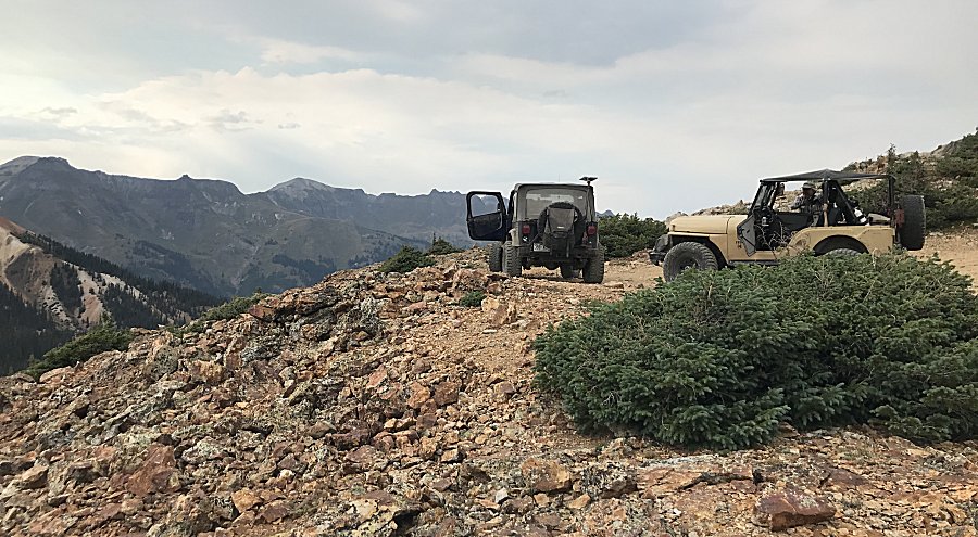
| Panorama Click for a larger size |
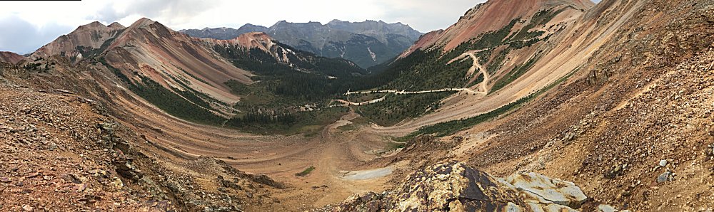
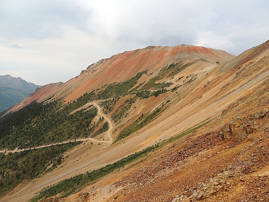
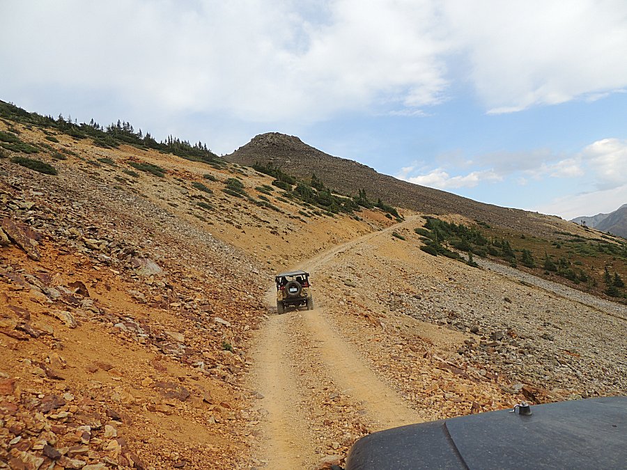
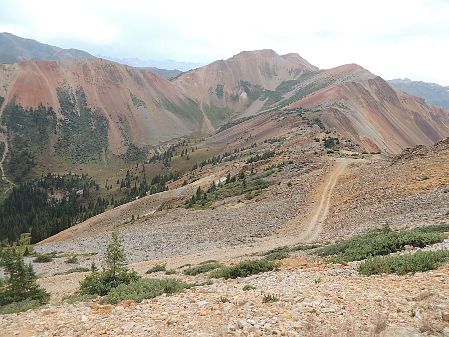
| We will backtrack to Corkscrew Pass - at the
ridge to the right, and travel down the trail to the highway. |
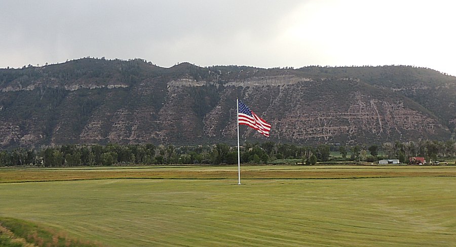
| Ah, there's the flag - looking good. Headed to south Montrose for dinner with the group. A last dinner together as we're splitting up. Some of the group to start heading home with some of us to take one more day for some trails - Imogene Pass. |