2025 San Juan's & Yampa Bench Road
|
A
small group will trek up Imogene Pass from Ouray. The Telluride side of
Imogene is closed for trail repair. After we wrapped up Imogene, the
rest of the ECJ group headed for home. I headed for Rangely as Saturday
would be Yampa Bench Road (and a long day). |
|
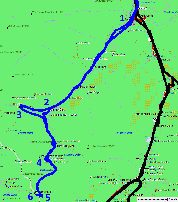
1)
Trail-ish at Ouray (easy driving county road) 2) I missed the turn for
Imogene at Camp Bird. 2) I noticed my error at a later intersection. 4)
Upper Camp Bird. 5) View spot to the east towards the Red Mountains /
US-550. 6) Imogene Pass. |
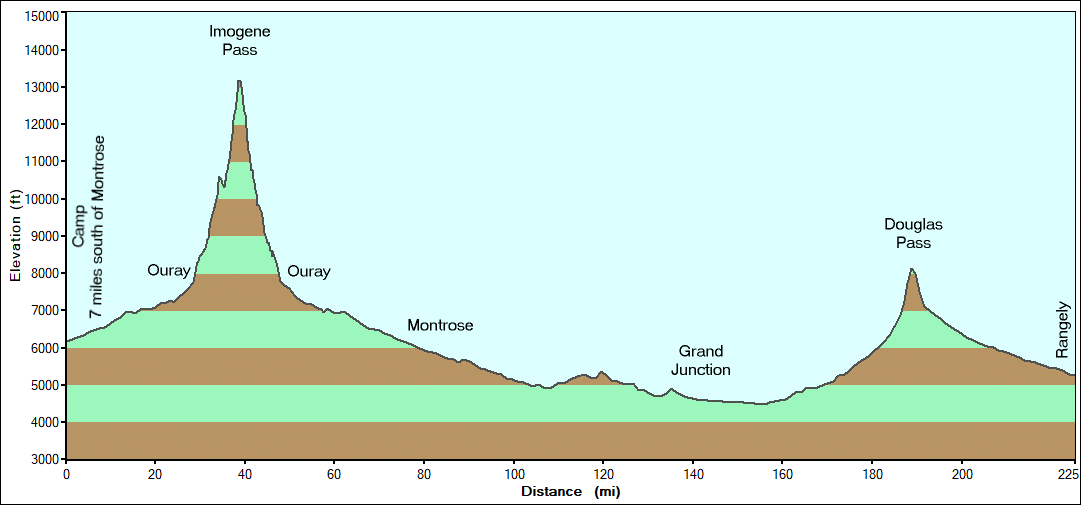

| Some of us decided to take a short day and add
in one more trail - Imogene Pass - up and down from Ouray. The
Telluride side of the trail is close for trail maintenance - but it
would make for a longer day to travel that section. |
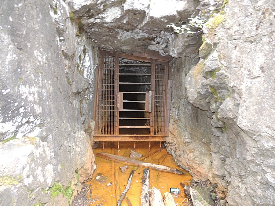
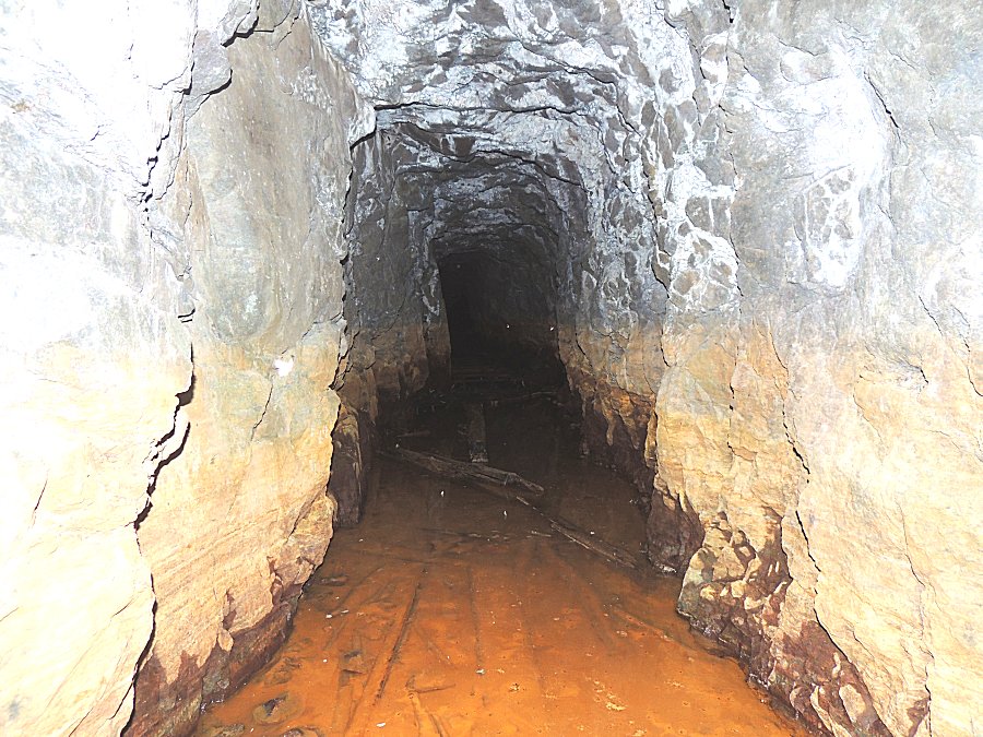
| While most mines are locked, some give a
chance to see inside. |
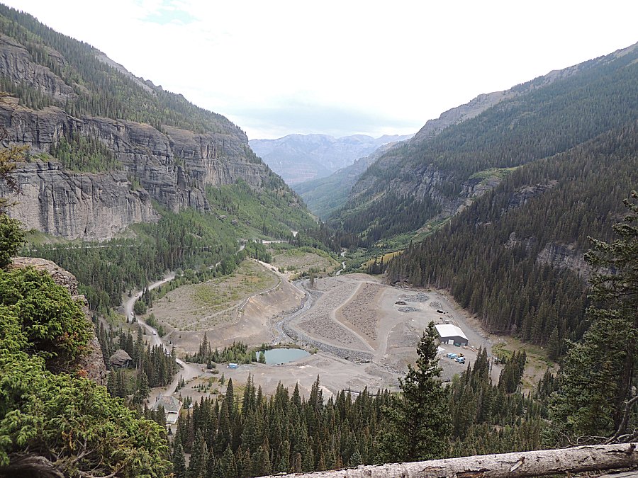
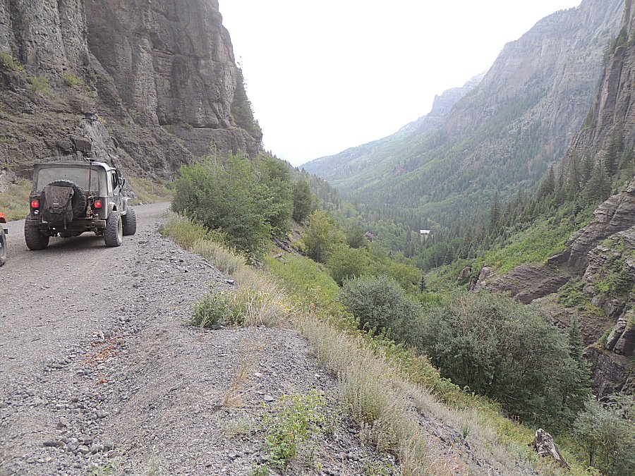
| I missed a turn (and am somewhat content with
the deviation). We came up the valley and hugged the valley wall to the
left of the picture. I should have taken the turn that went lower
towards the bottom center of the photo - through the mining area. It
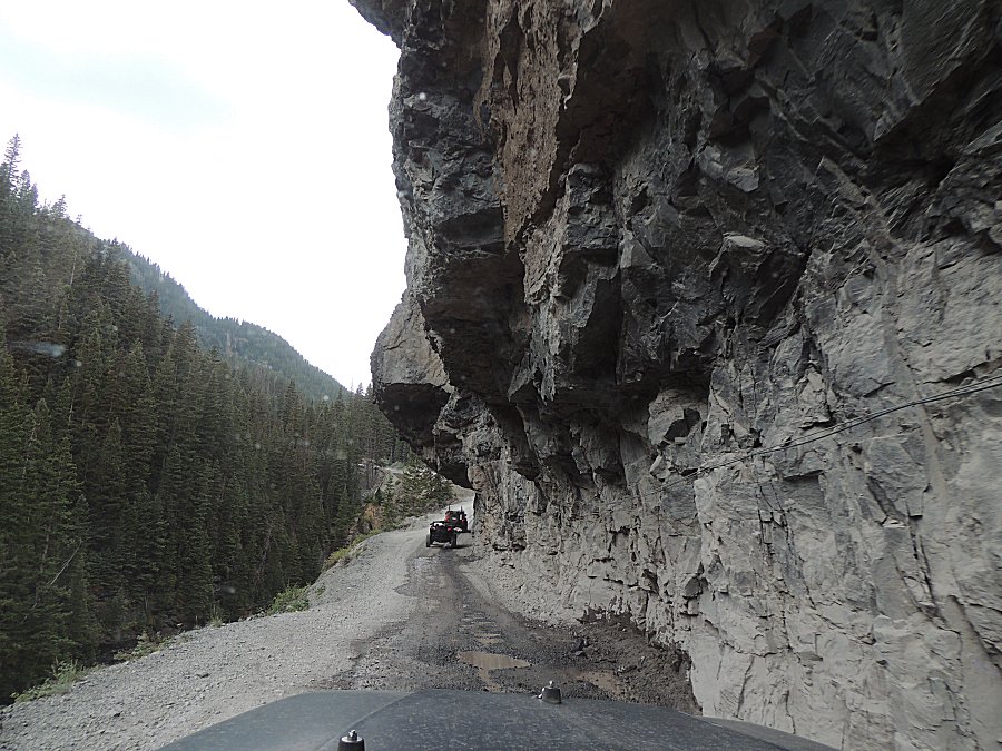
added a bit of time but not too much. The above rock ledge views were
neat to visit. The mine area at the bottom center of this photo is
called Camp Bird. |
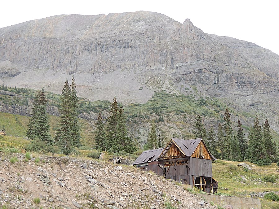
| We are at the Upper Camp Bird site. Imogene
Pass is near the top center of this photo. The trail can be seen
cutting across the rock face from the left of the photo. |
| Panorama Click for a larger size |
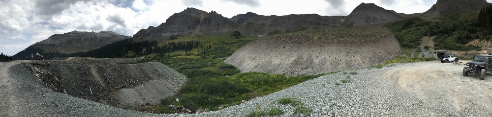
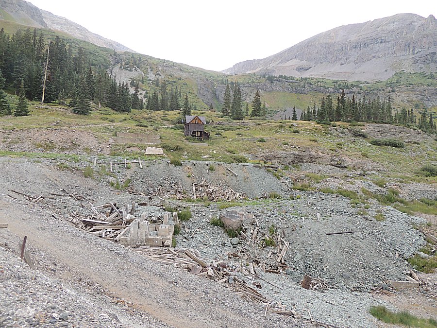
| A tailings pile large enough to drive on. |
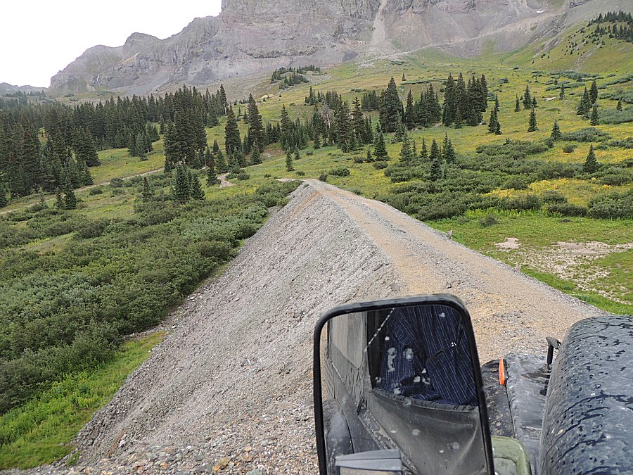
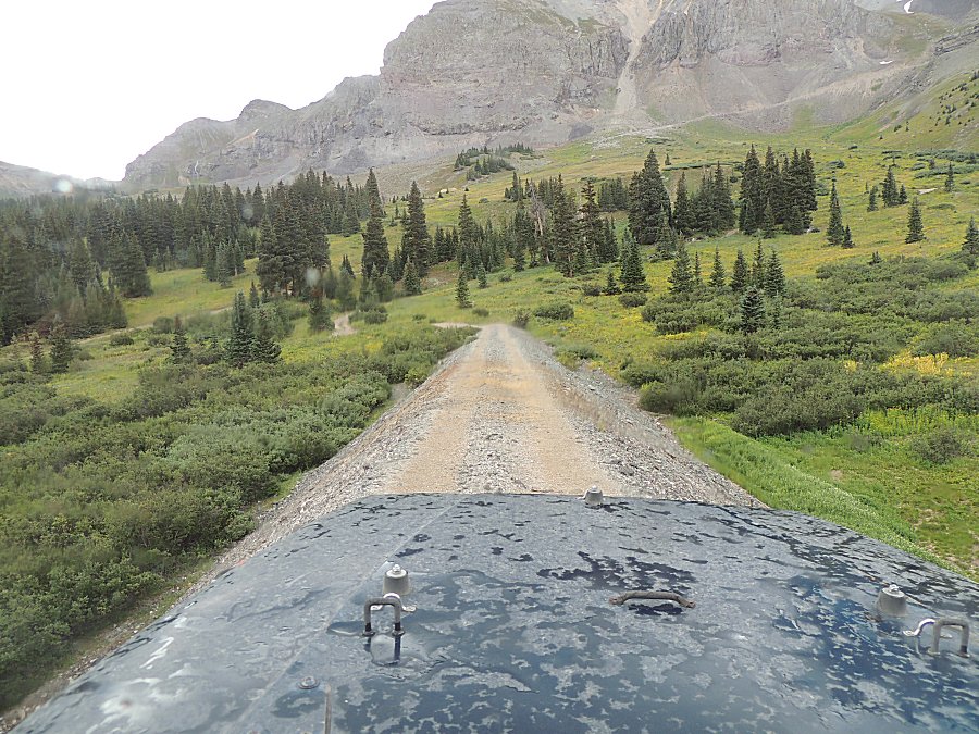
| Looking down at Upper Camp Bird. |
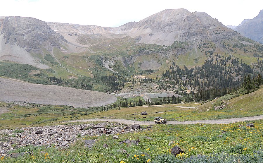
| Making our way up to Imogene Pass. |
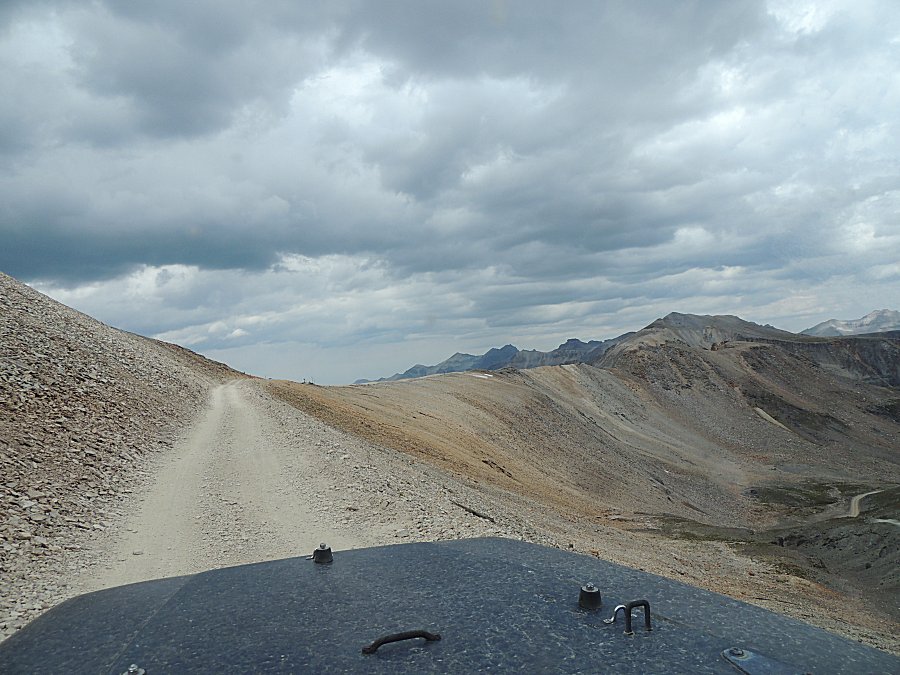
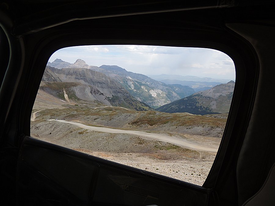
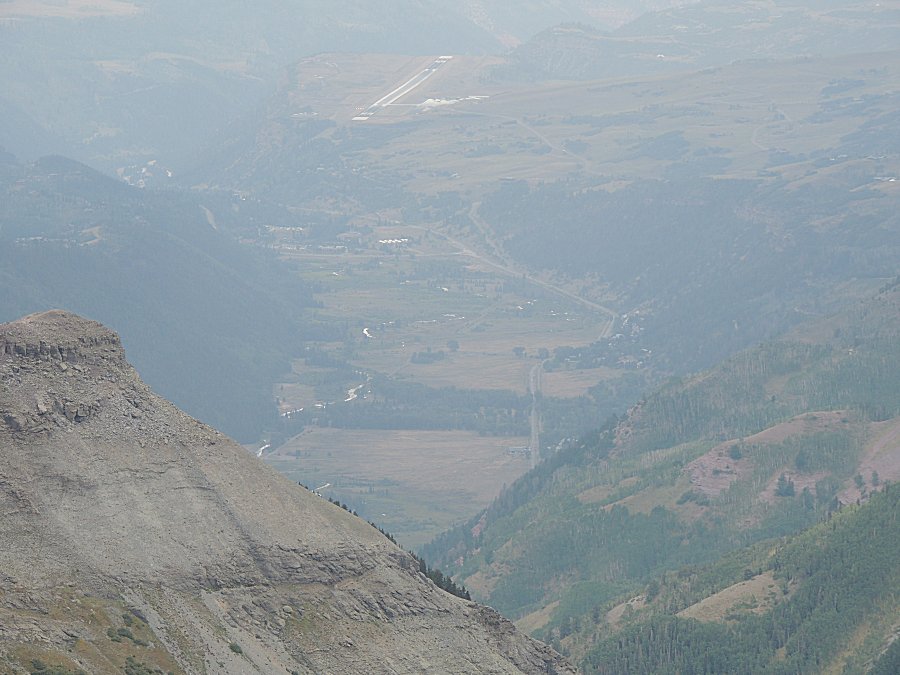
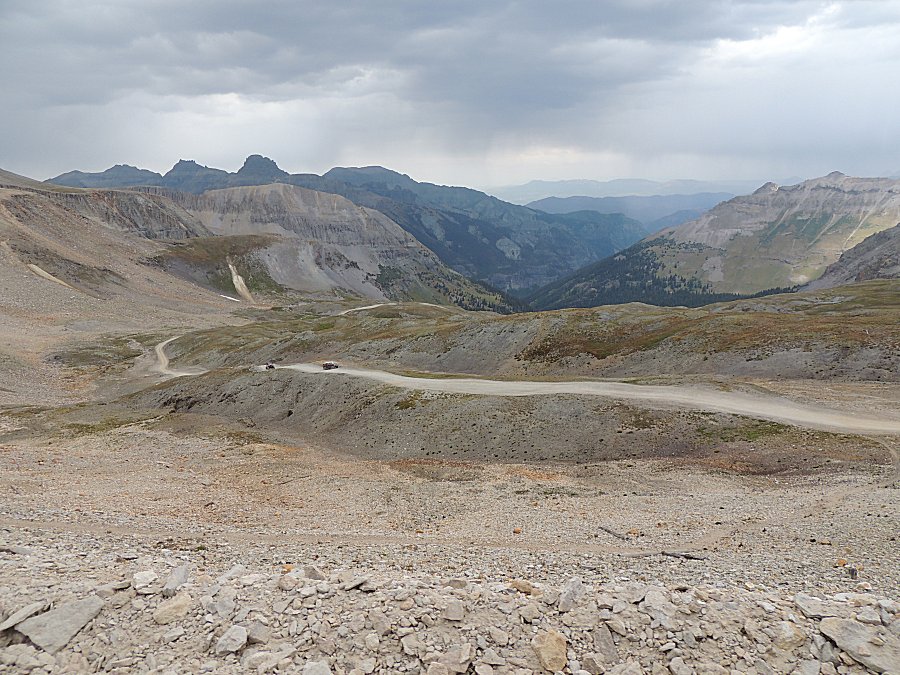
| High enough to look over the ridge to the
Telluride side. The airport stands out. |
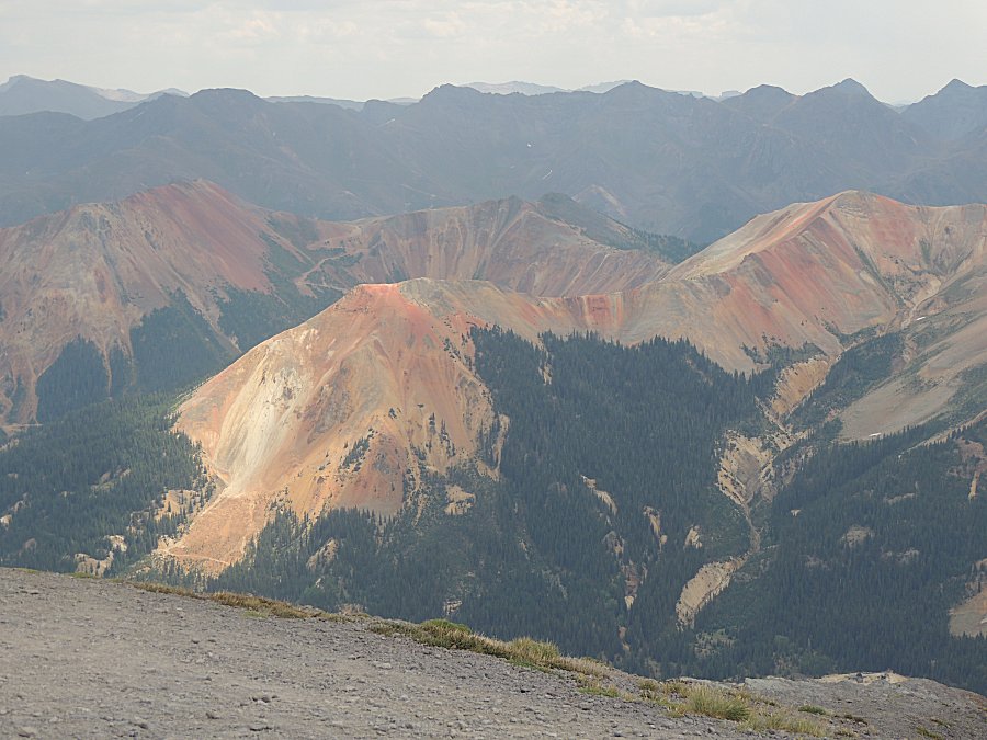
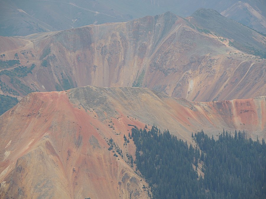
| Red
Mountains 1, 2, and 3. Corkscrew Pass just visible left of
center, snaking down the mountain. The dead-end spur Florida and I
traveled yesterday runs just behind the ridge that is at the center of
this picture. |
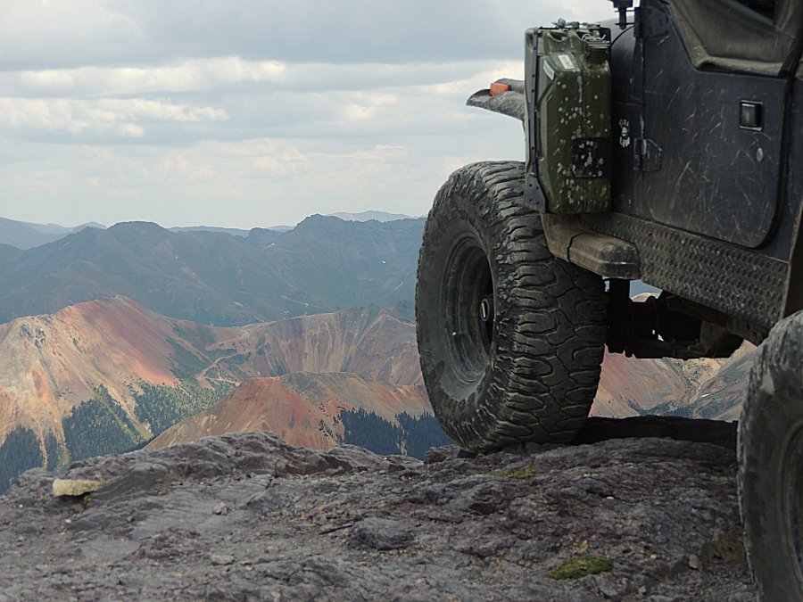
| Jeep - near Imogene Pass looking at Corkscrew
Pass & the Red Mountains. |
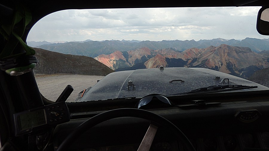
| That's the view. Now to keep this in mind at the next traffic jam. |
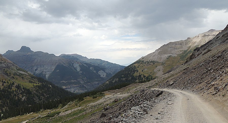
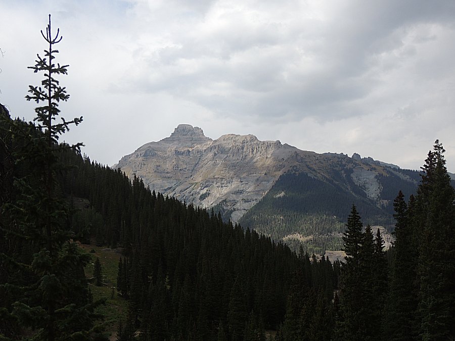
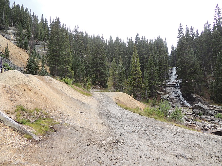
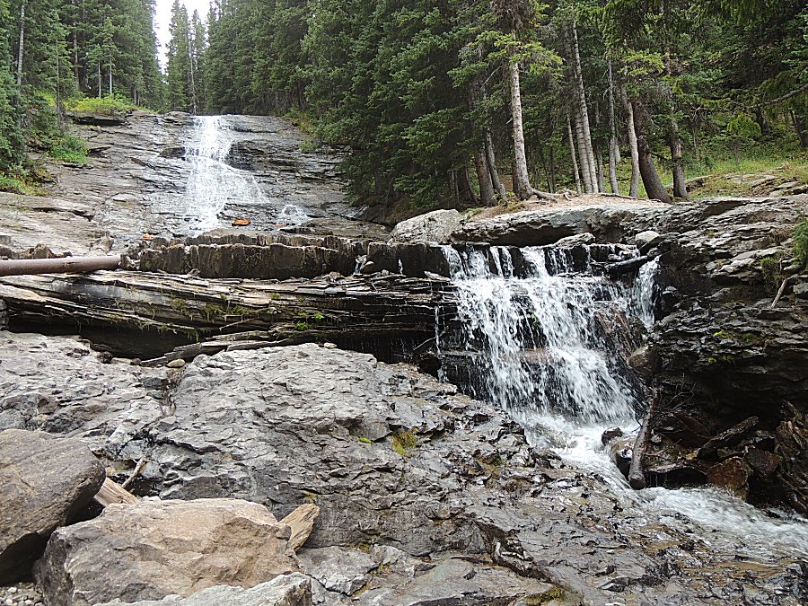
| Down to Camp Bird. Almost done with San Juan
trails. The "trail" out is mostly a flat county road with stellar views. |
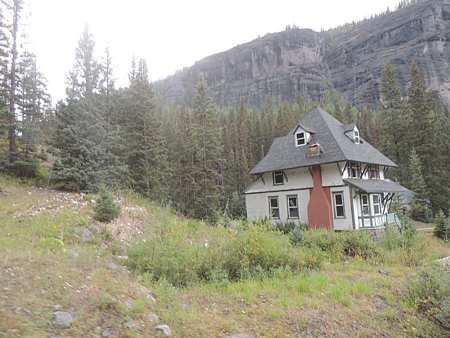
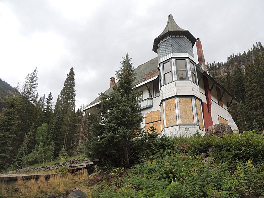
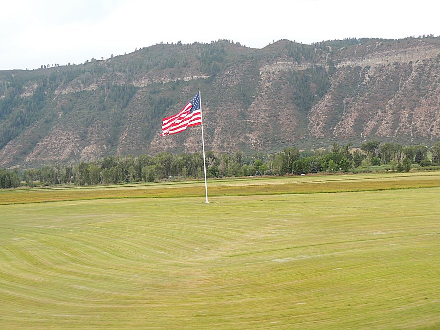
| Last flag view for the trip. |