2025 San Juan's & Yampa Bench Road
|
Today
will be a long day. I could have camped at any of the dispersed
campsites west of Elk Springs, but I pushed for home. Yampa Bench Road
has been on the ToDo list for a while. I'm happy to have been able to
travel it. Would I again - perhaps - there are some nice views. |

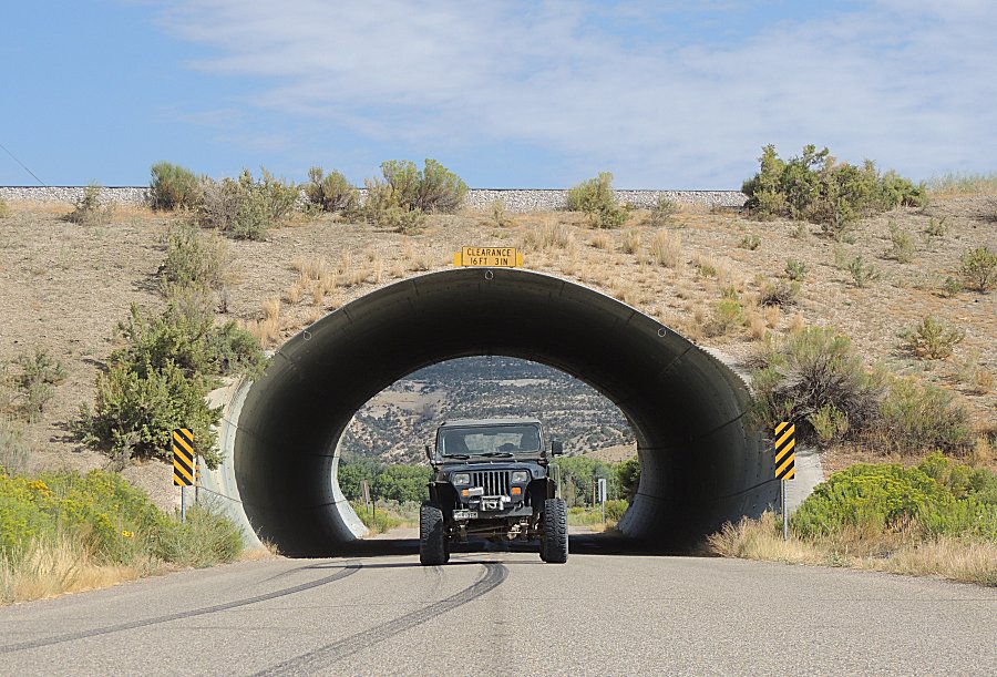
| Between
Rangely and Dinosaur National Monument. We are passing through a "fill"
with an electric rail line crossing left-to-right at the top of the
fill. The coal mine is to the right, in Colorado, with a power plant to
the left in Utah. |
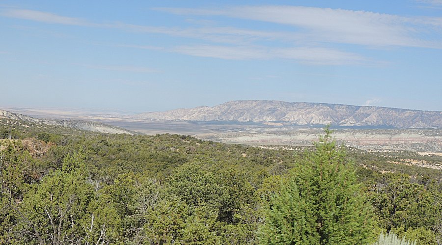
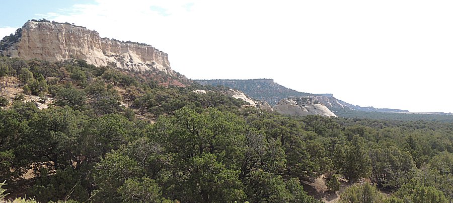
| In the lesser traveled portion of Dinosaur
National Monument. |
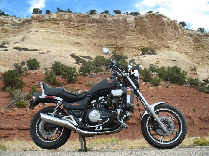
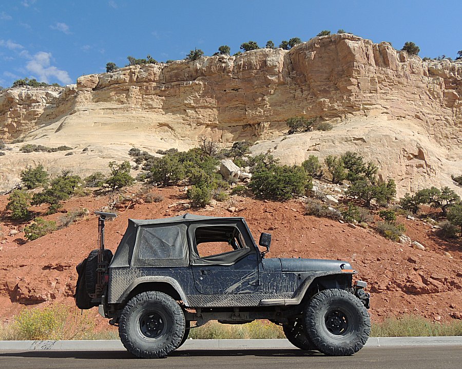
| This is my third stop at this spot. Here's a
link to the picture at the first visit (1984
Honda VF-1100c). The second visit, in the 1993 Honda Accord station
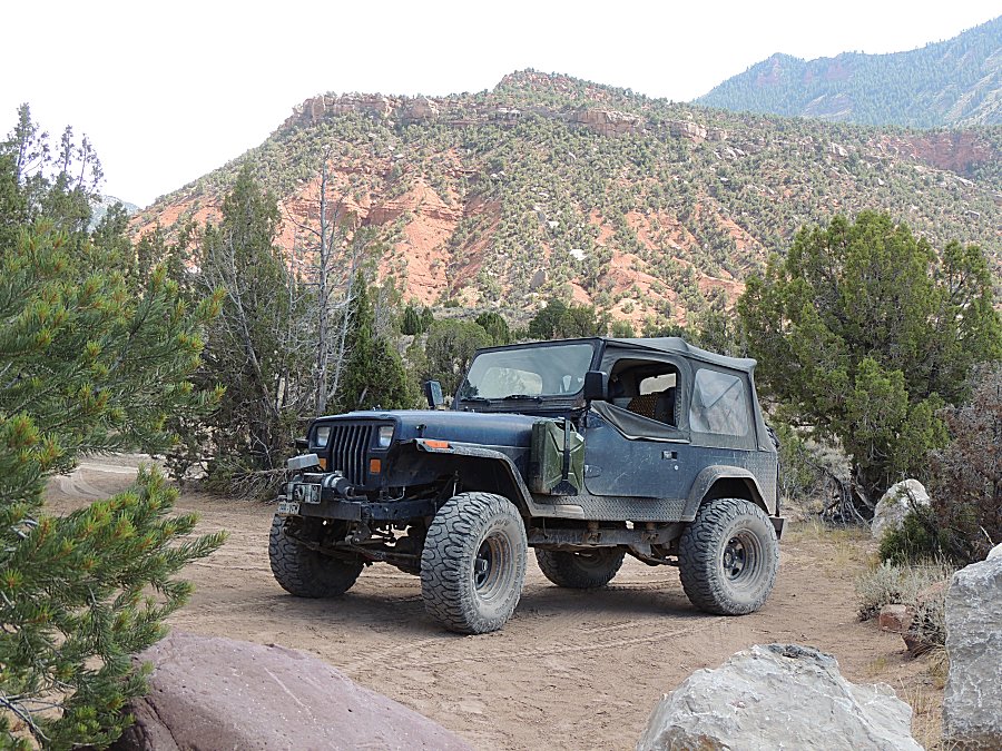
wagon, I don't know if I took pictures. My first visit (2007 - Dinosaur National Monument) didn't have a pleasant outcome (but, by the Grace of God and some keen eye'd travelers from Germany (Thank You!), I'm alive!). The jeep's looking respectible but I'm partial to the bike pic. |
| Panorama Click for a larger size |

| Panorama Click for a larger size |
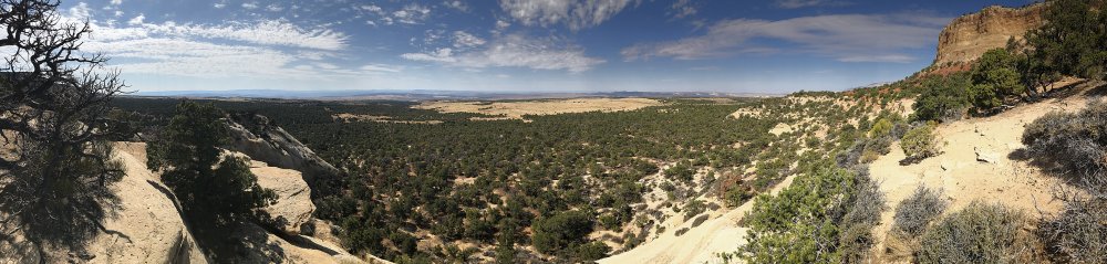
| Panorama Click for a larger size |
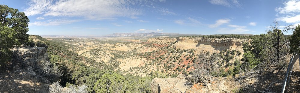
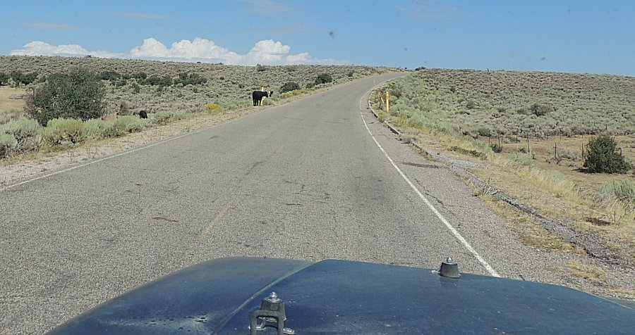
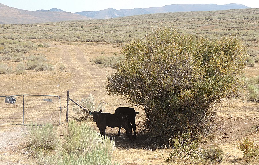
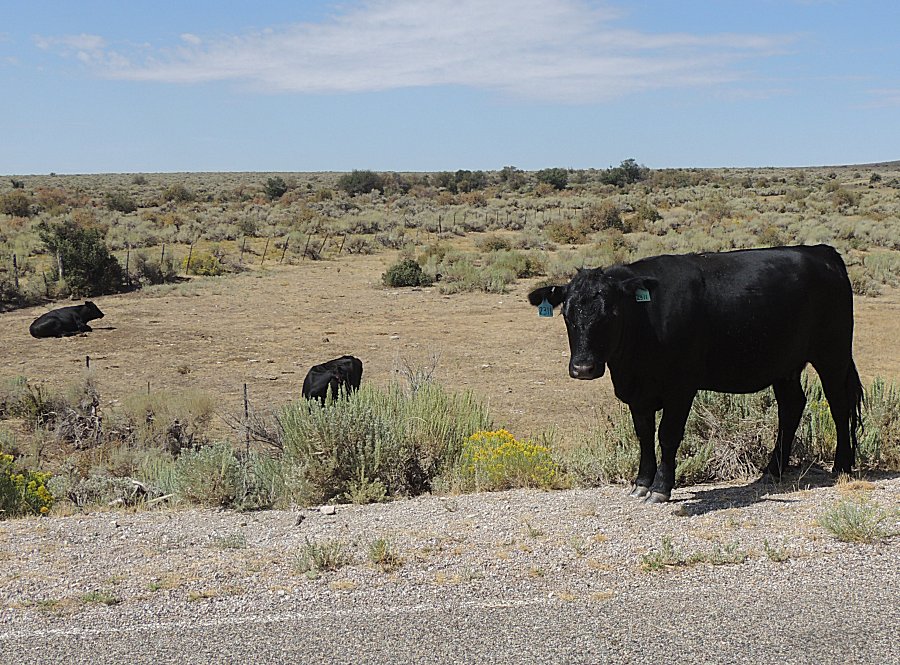
| Open range cattle |
| Looking good! |
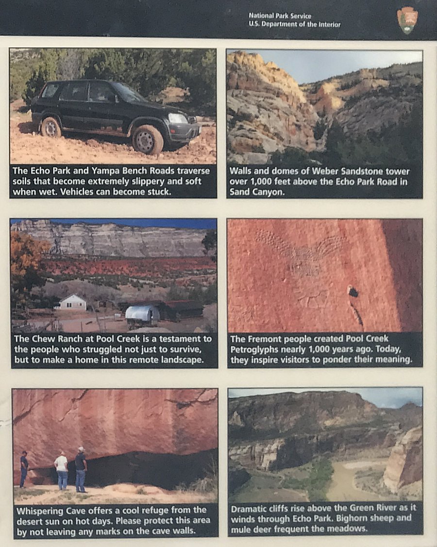
| Info sign |
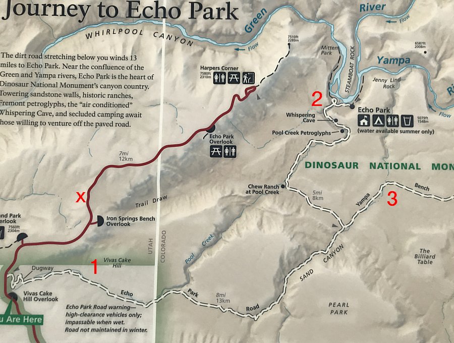
| X
"marks the spot" where I crashed the motorcycle in 2007. I'll visit the
spot
today to see if there is any remaining trash to clear (didn't find
any). On my second visit, in the car, I traveled down road 1 to spot 2 and came back. On that trip road #3, Yampa Bench Road, was put onto my "some day" list. Today's the day. But we'll make a stop down to spot #2 before heading east on #3 / YBR. |
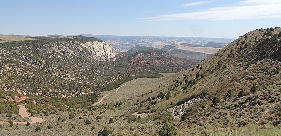
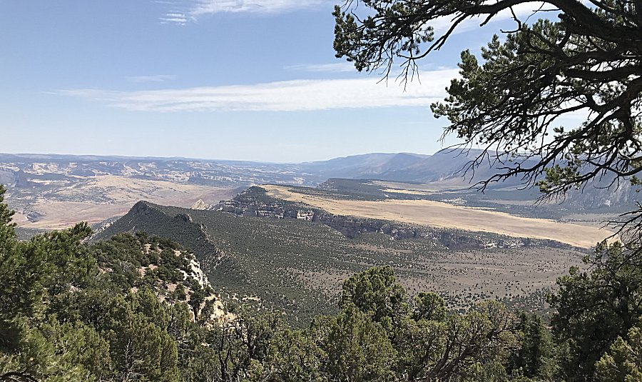
| Looking
east. Much of the day will be spent rolling east. On the long Yampa
Bench Road I'll come across ONE vehicle (forest ranger checking
campsite fire pits). |
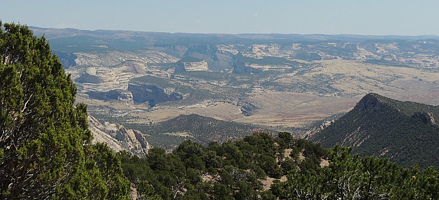
| Panorama Click for a larger size |

| Panorama Click for a larger size |
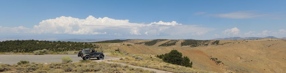
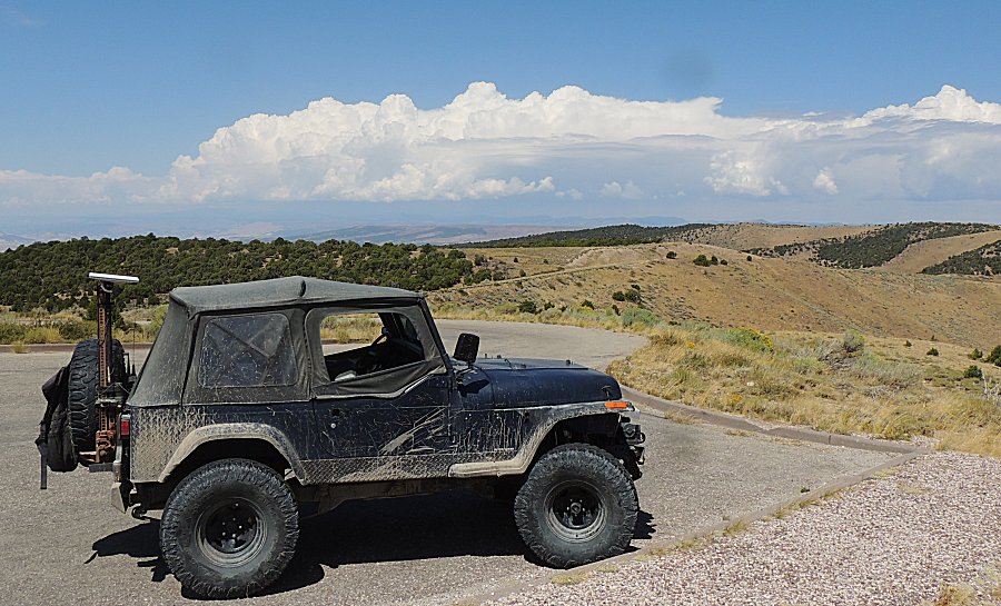
| Scene of the crash. The motorcycle traveled from the left side of this picture to the right between me and the guard rail - not on the road side of the guard rail. The broken guard rail was not because of me. |
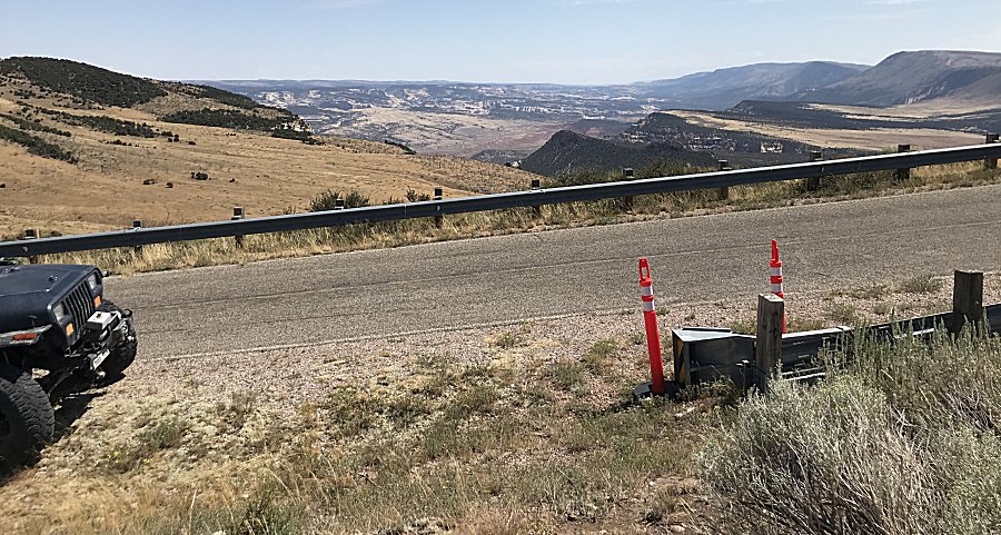
| I ended up somewhere on the down sloping
ground, not visible from the roadway. I have no memory of it
(concussion). |
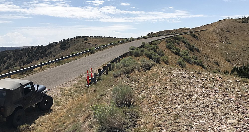
| Panorama Click for a larger picture |
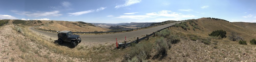
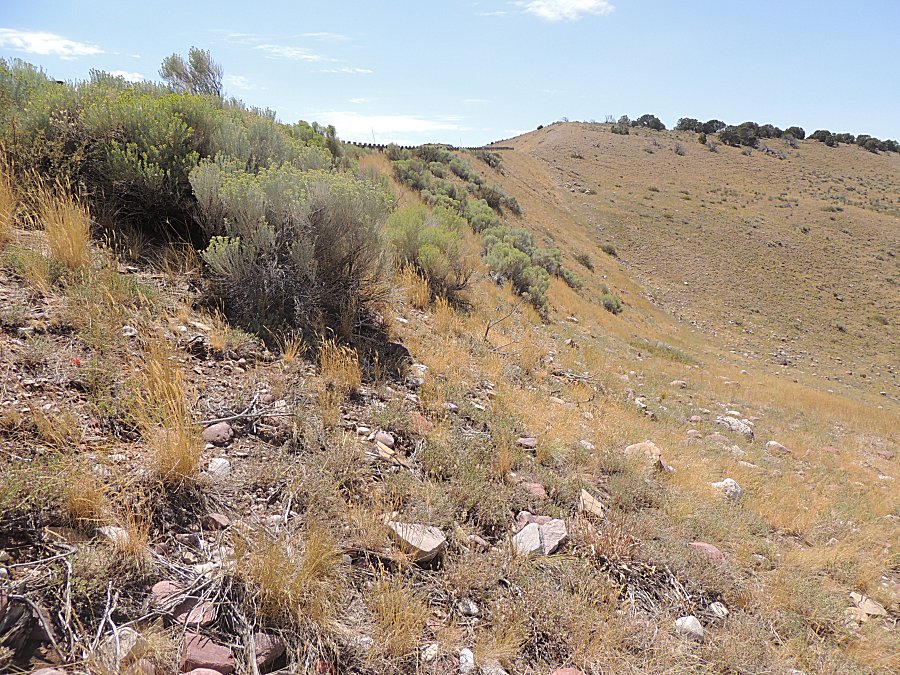
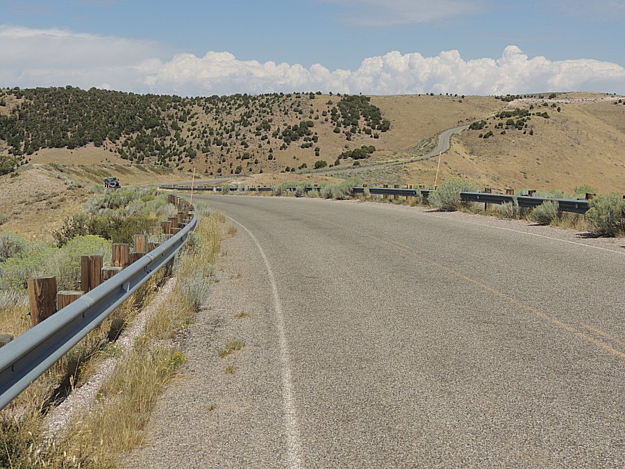
| No trash found, moving on... |
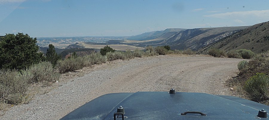
| Can
you imagine this area filled with water / dam'd up? There was a
thought to build a dam. The water would be piped to the Front Range
cities for use. |
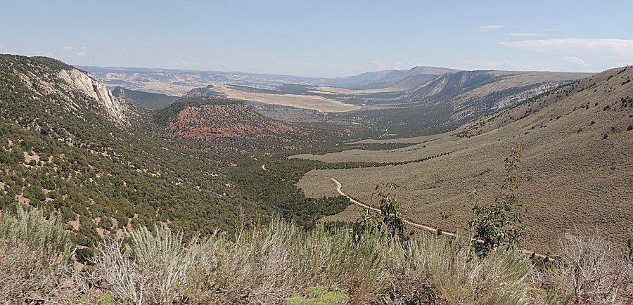
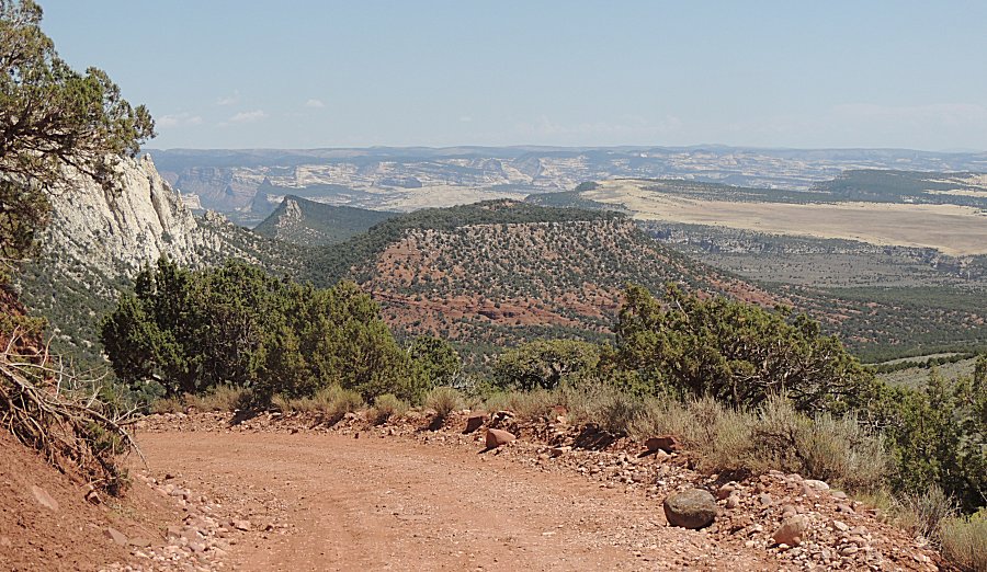
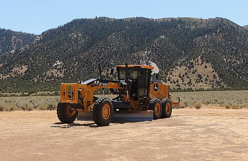
| The road surface is in quite nice condition! |
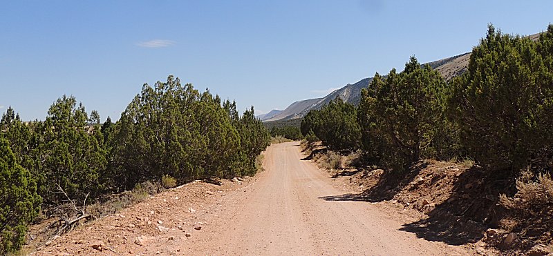
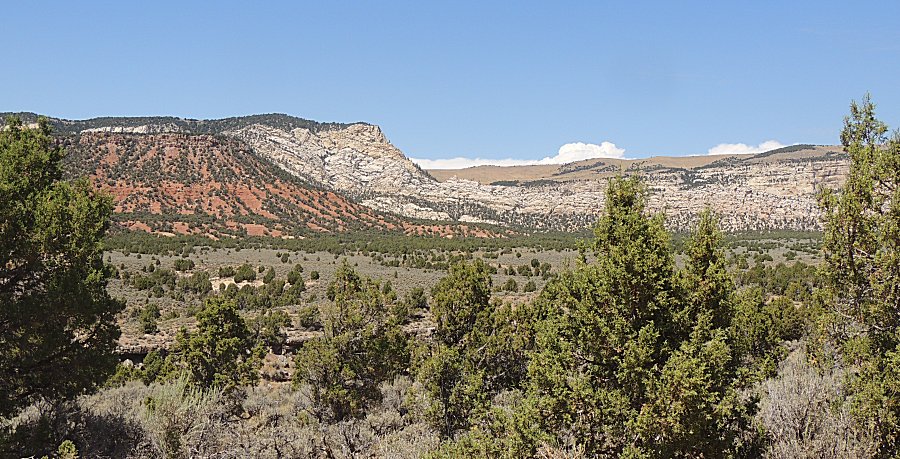
| And here's why. |
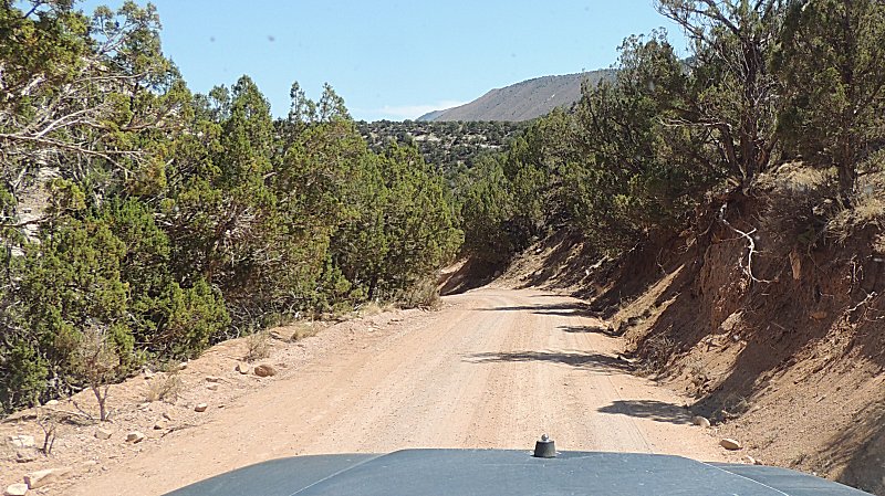
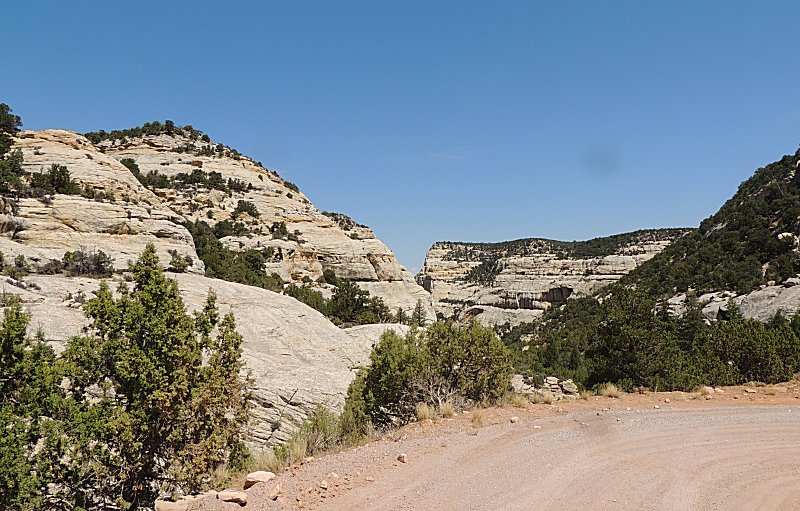
| Still heading down to the valley floor. |
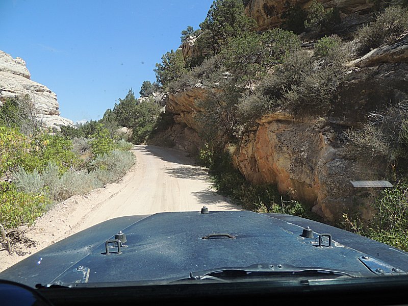
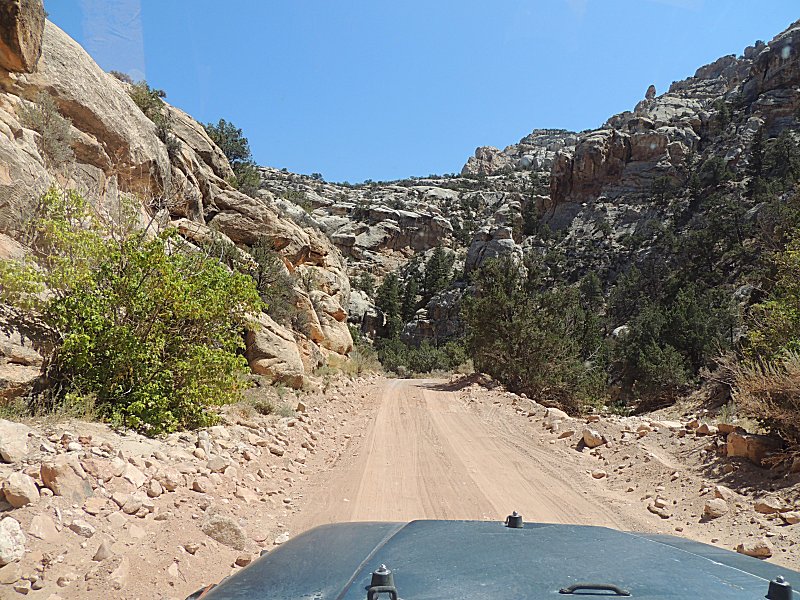
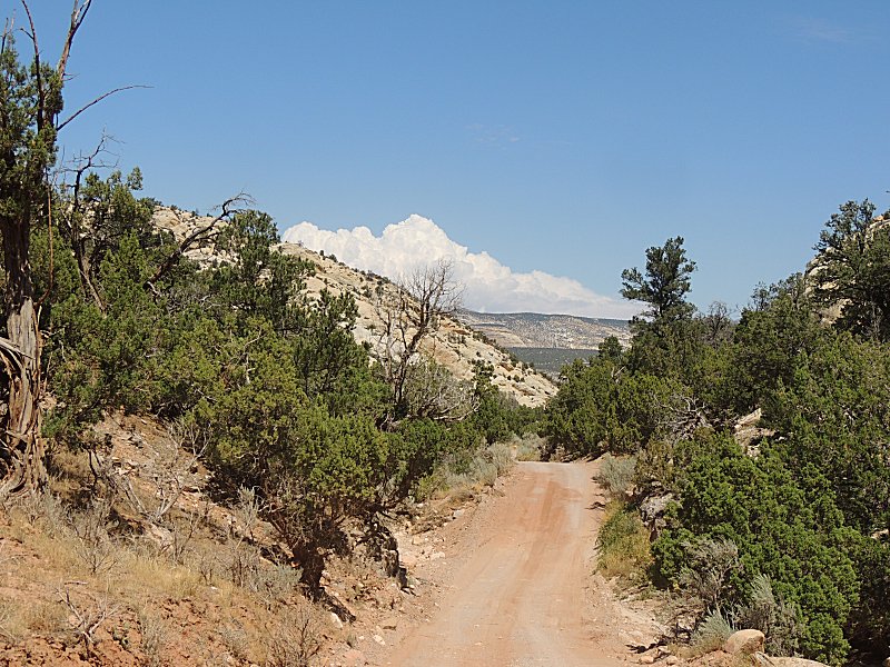
| Down
to the intersection, we'll head left to check out Echo Park and return
to here to then travel the long Yampa Bench Road to Elk Springs. |
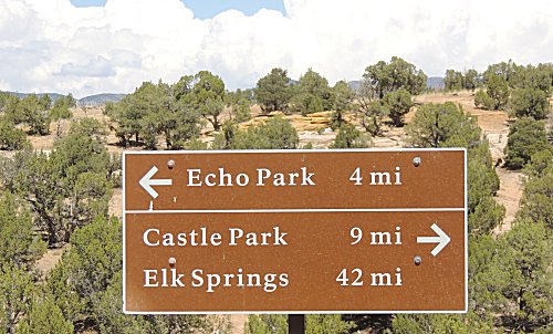
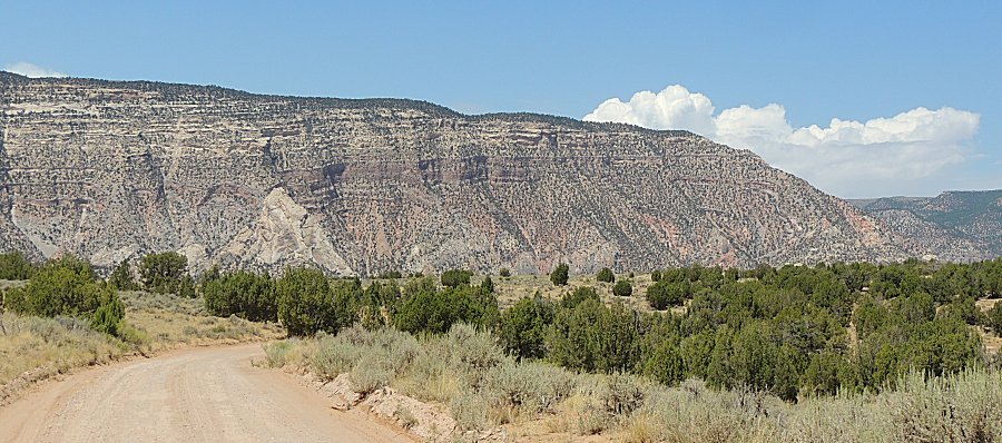
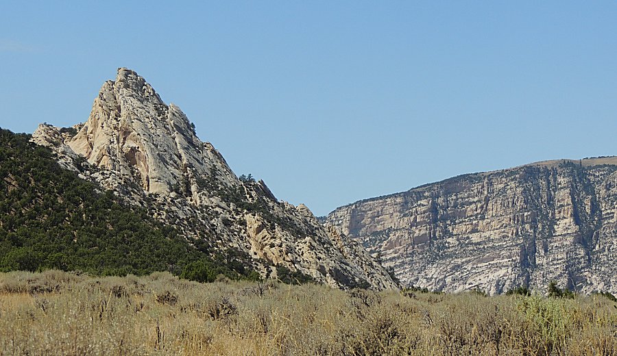
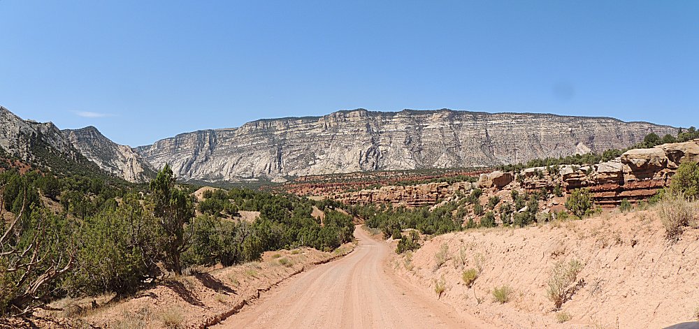
| Info sign Click for a larger size |
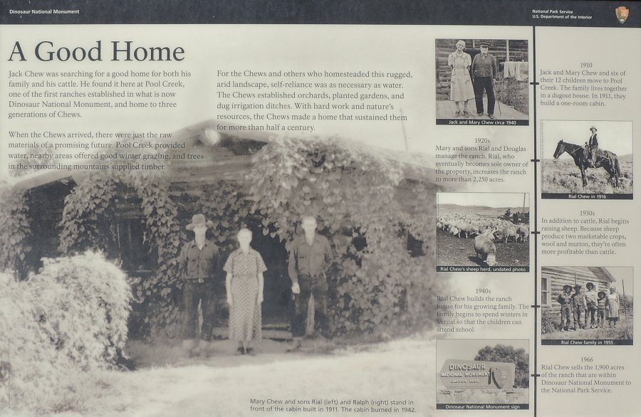
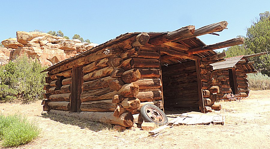
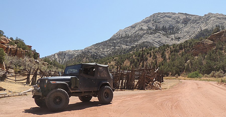
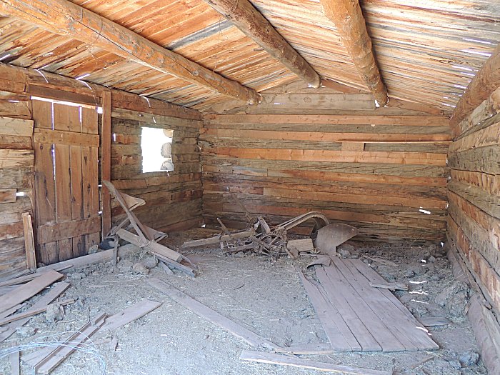
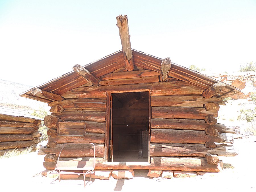
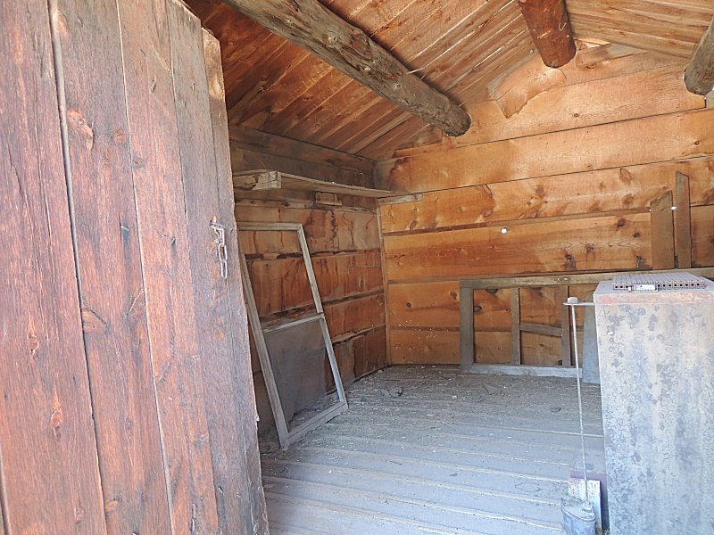
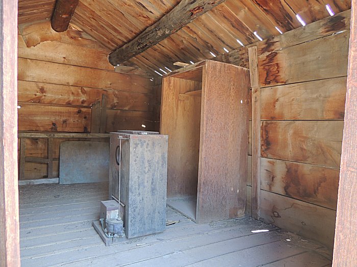
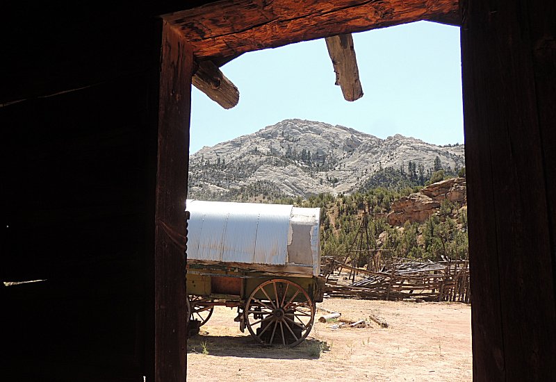
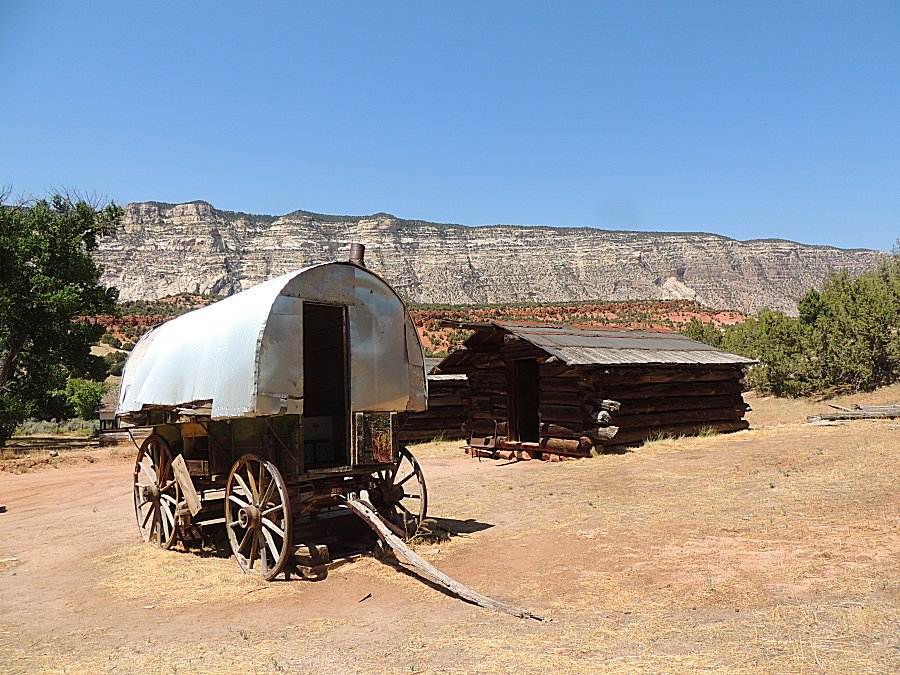
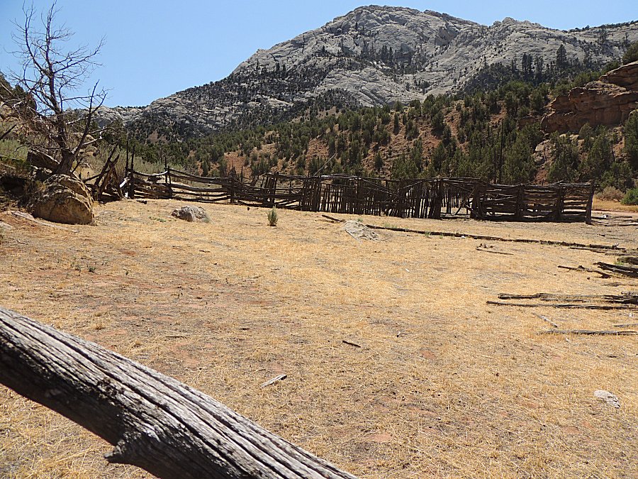
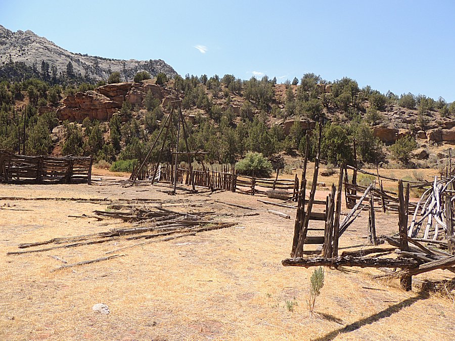
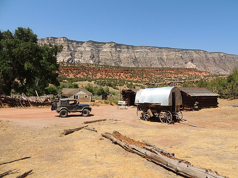
| I try to photo the log interlock as there are
many styles. |
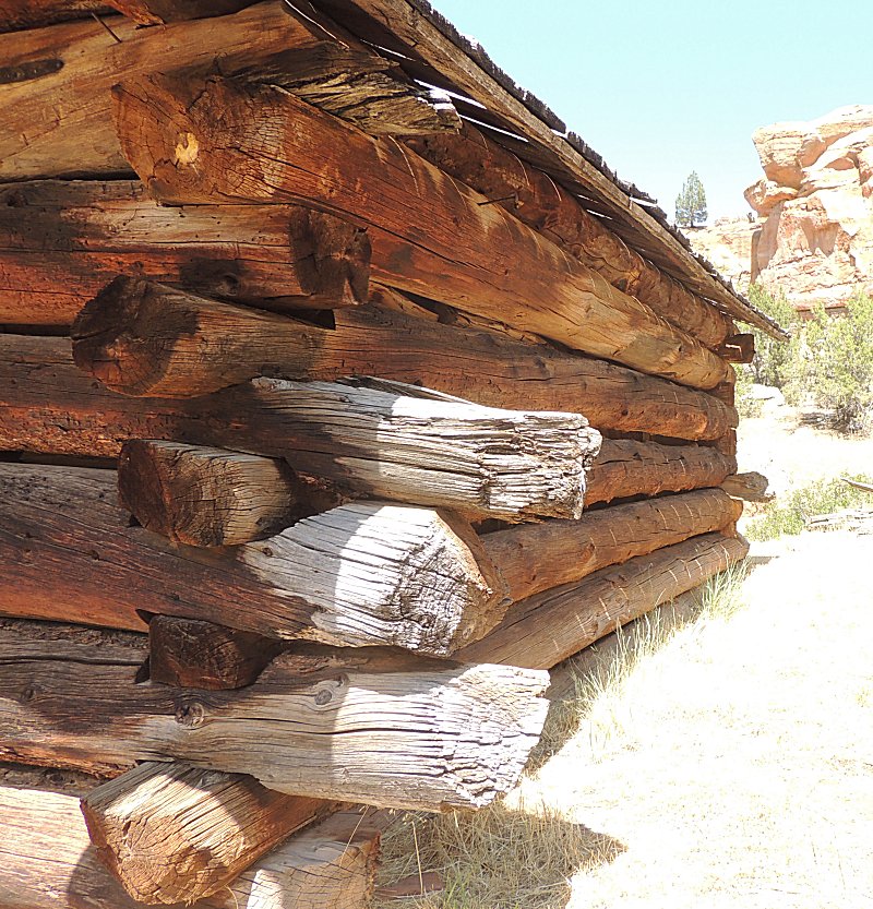
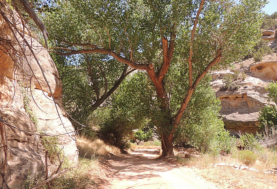
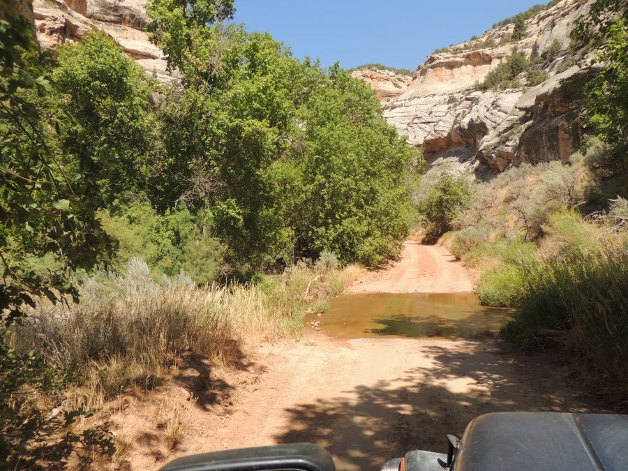
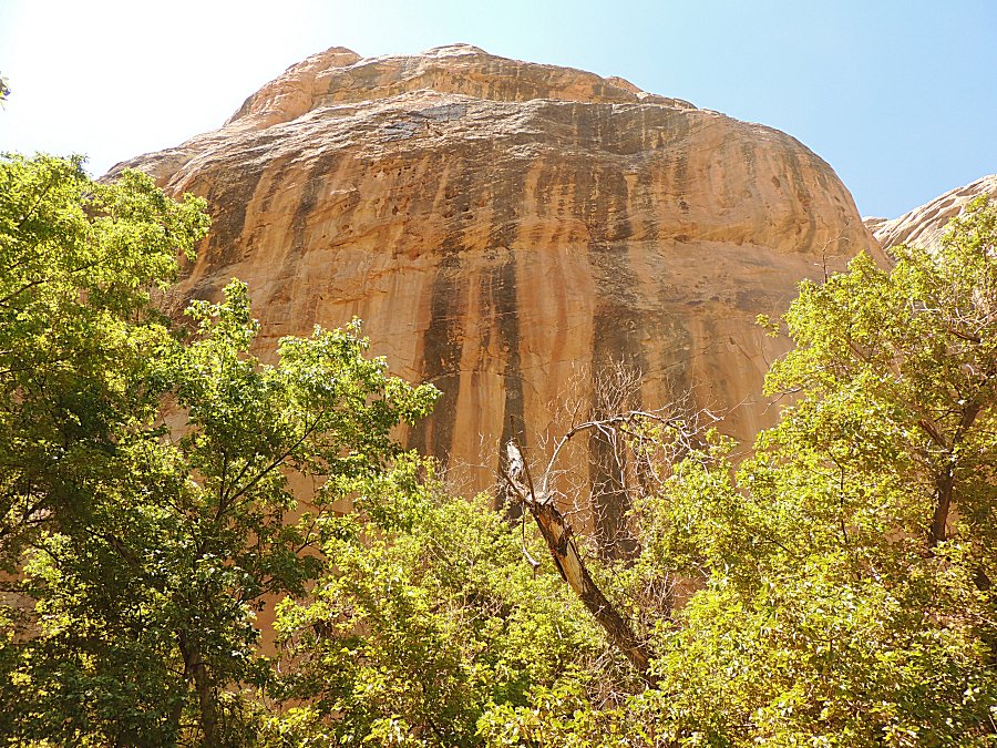
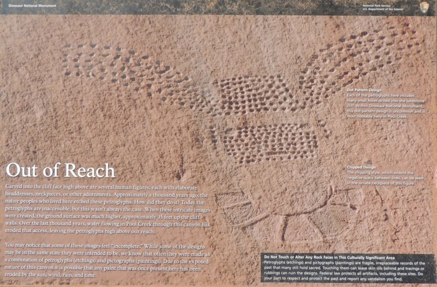
| Info Sign Pool Creek Petroglyphs Click for a larger size |
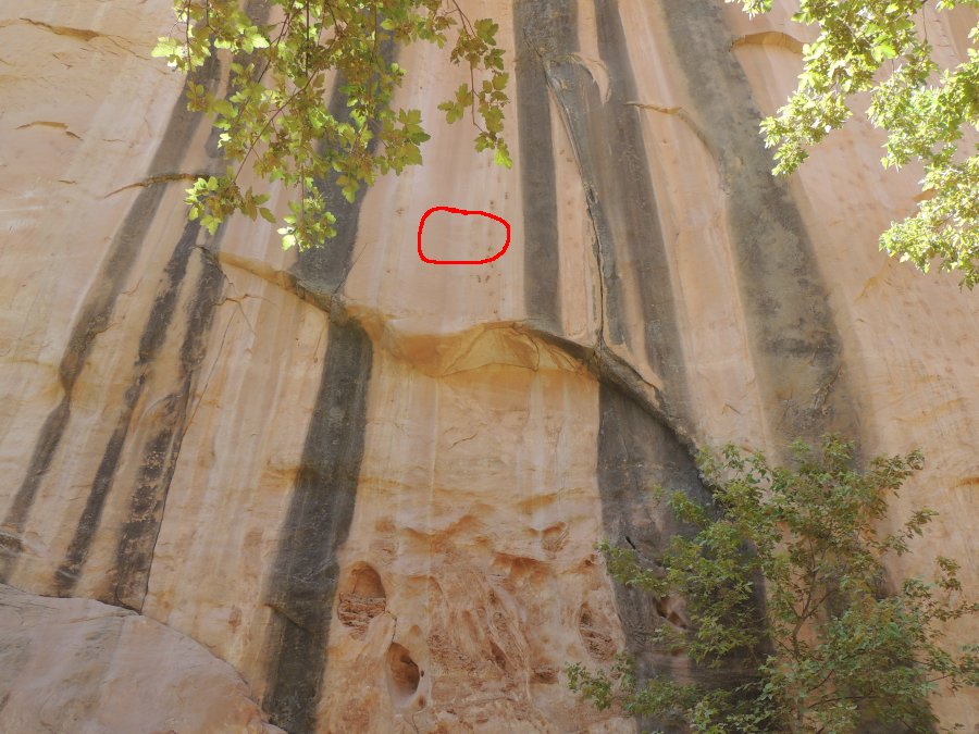
| Panorama Click for a larger size |
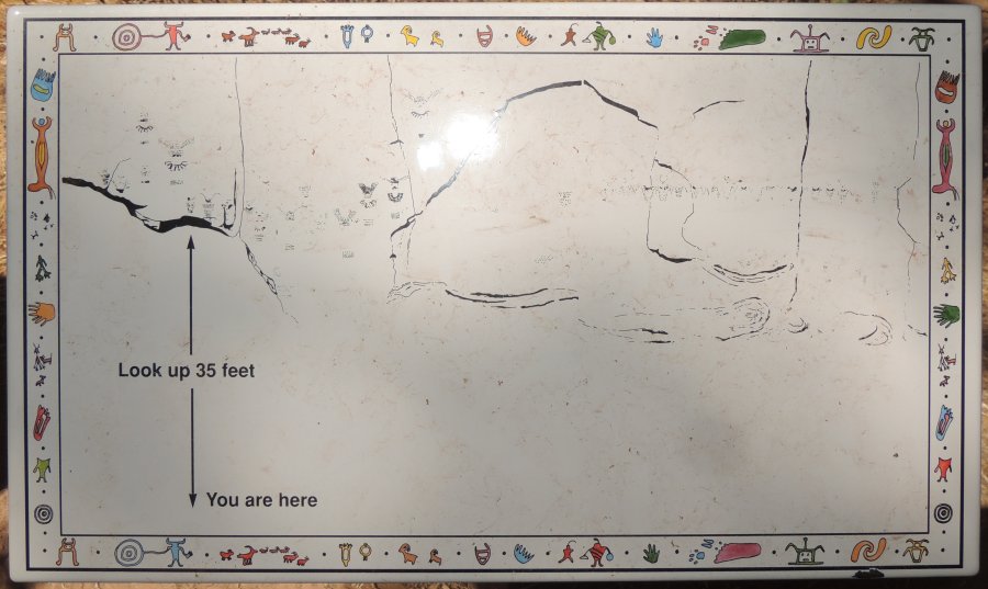
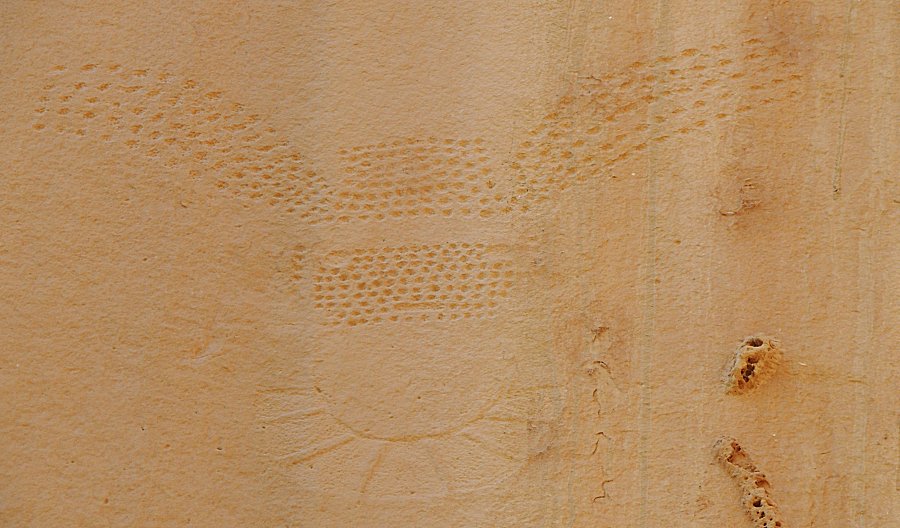
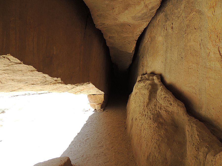
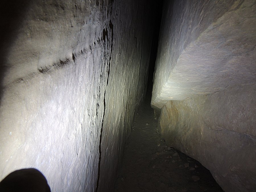
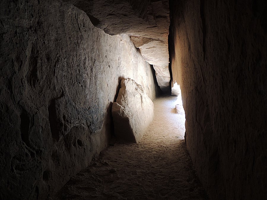
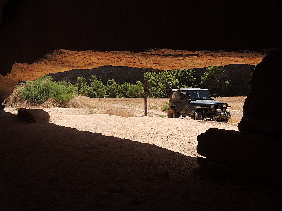
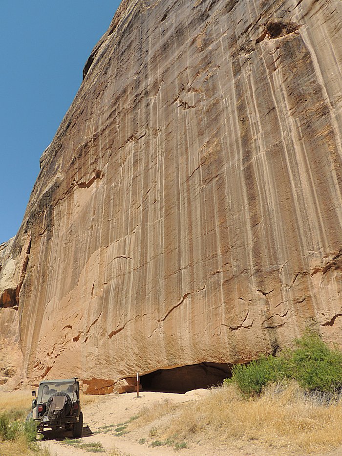
| Next up is Whispering Cave |
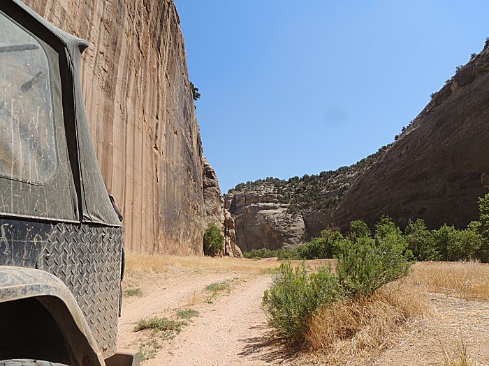
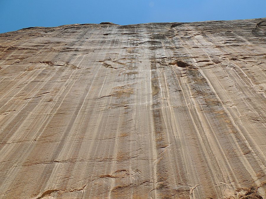
| Cool air. Let's not think of the large slab of
rock hanging overhead. It has been like this for a long time, yes? |
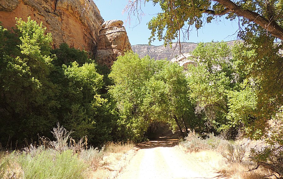
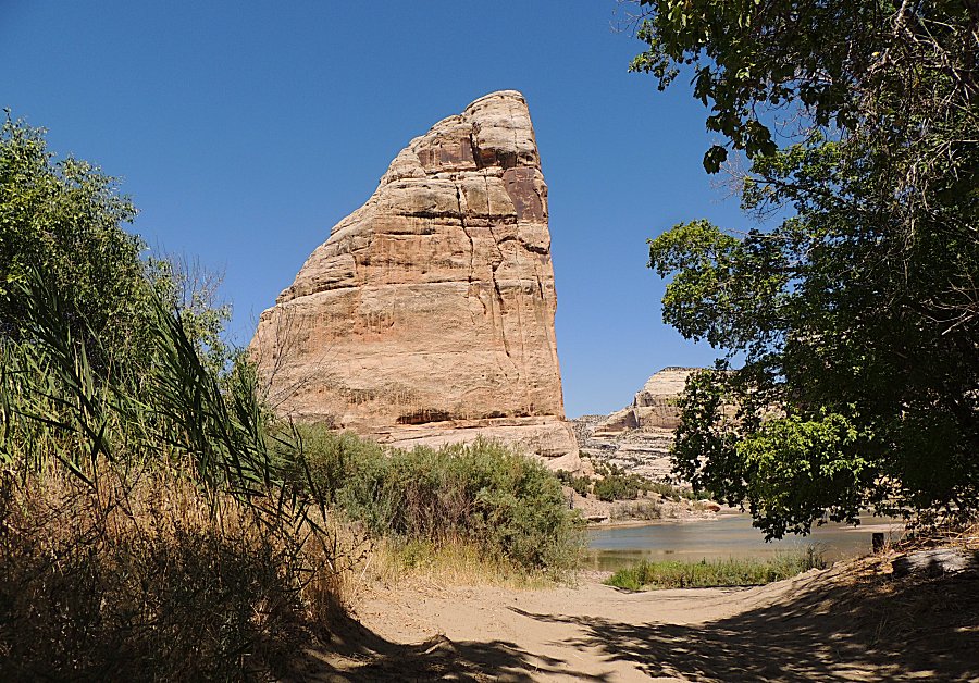
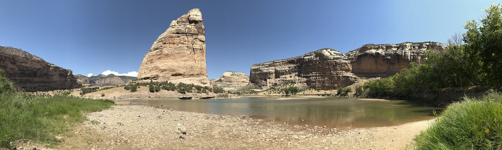
| Steamboat Rock & the campsite at the river
and end of the road. I could see camping and working from here for a few days. |
| Panorama Click for a larger size |
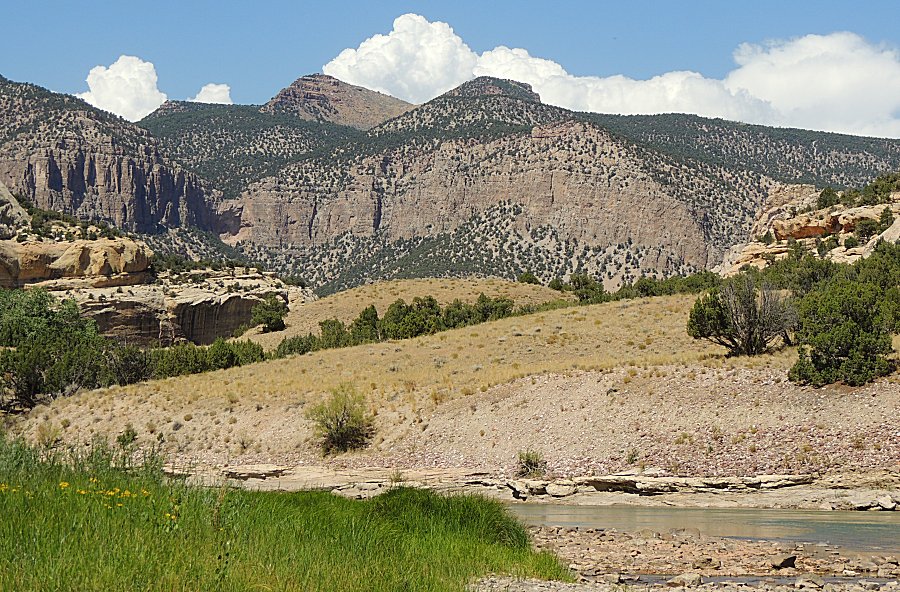
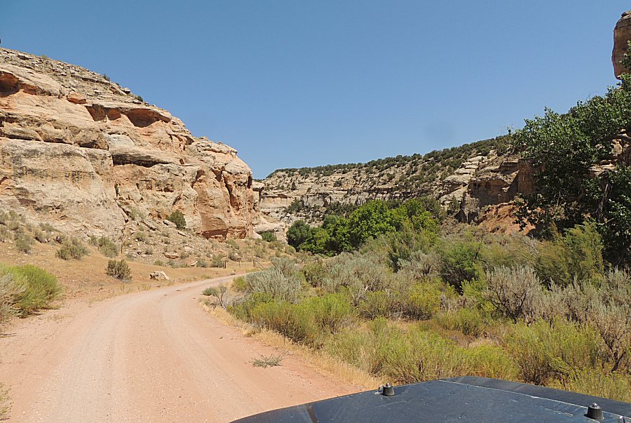
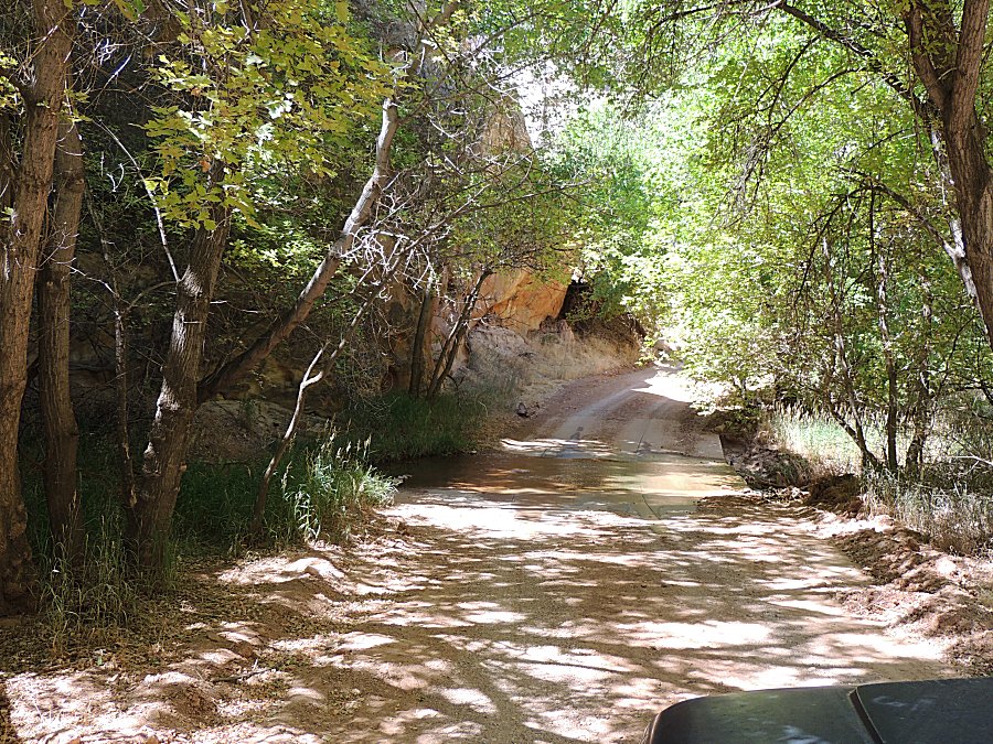
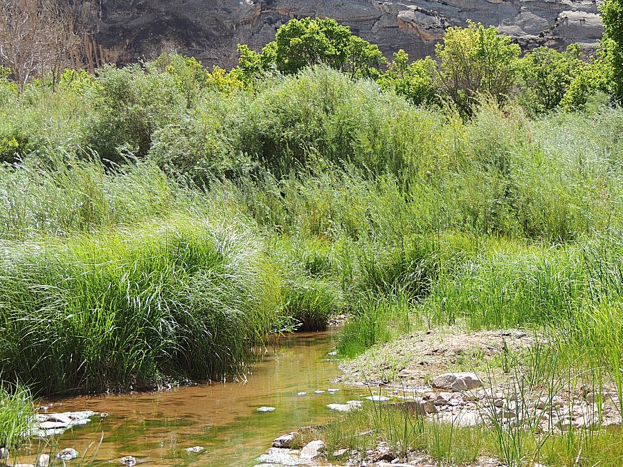
| Where water exists, green exists. |
| On the move eastward. I have left the campsite
with river access to head east on Yampa Bench Road. On the road to the campsite, which I have visited with the low clearance Honda Accord car, I don't think the car would make the trip again. The road changed. There is a ~100 foot long section of deep, soft sand. The Jeep was not able to drive through it without a second run at it. |
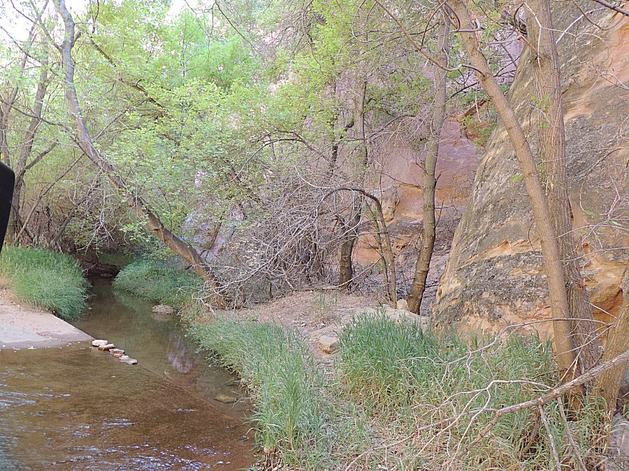
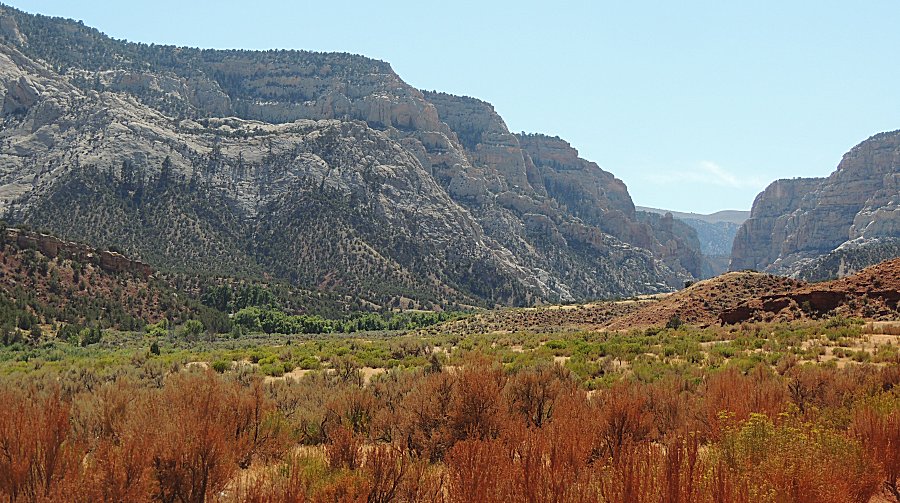
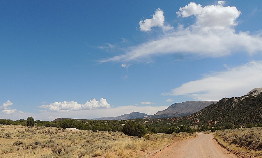
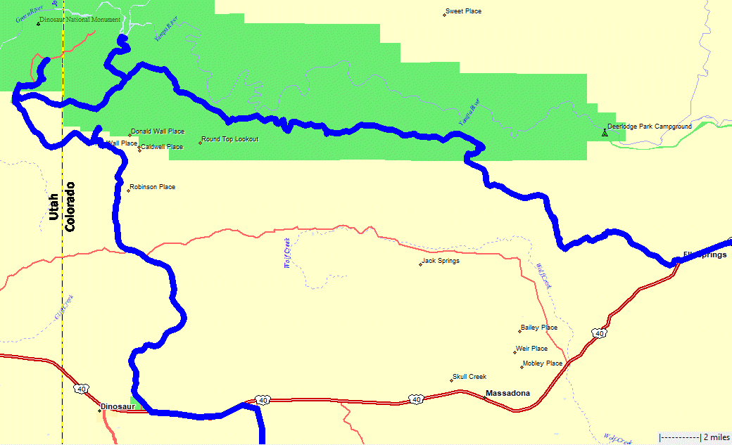
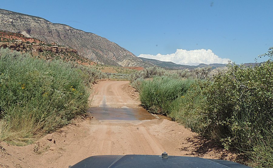
| Yampa Bench Road to Elk Springs - here we go -
new sights to enjoy! The time now is 3 pm. We'll air-up the tires at the old Elk Springs motel on US-40 at 6:45 pm. We will stop, often, along the way for pictures. |
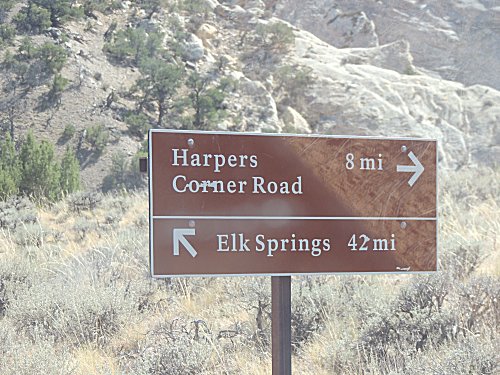
| Our left turn. |
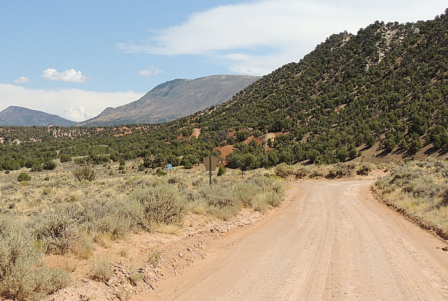
| Count the tire tracks since the last rain.
Two, maybe three vehicles. |
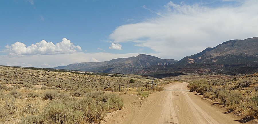
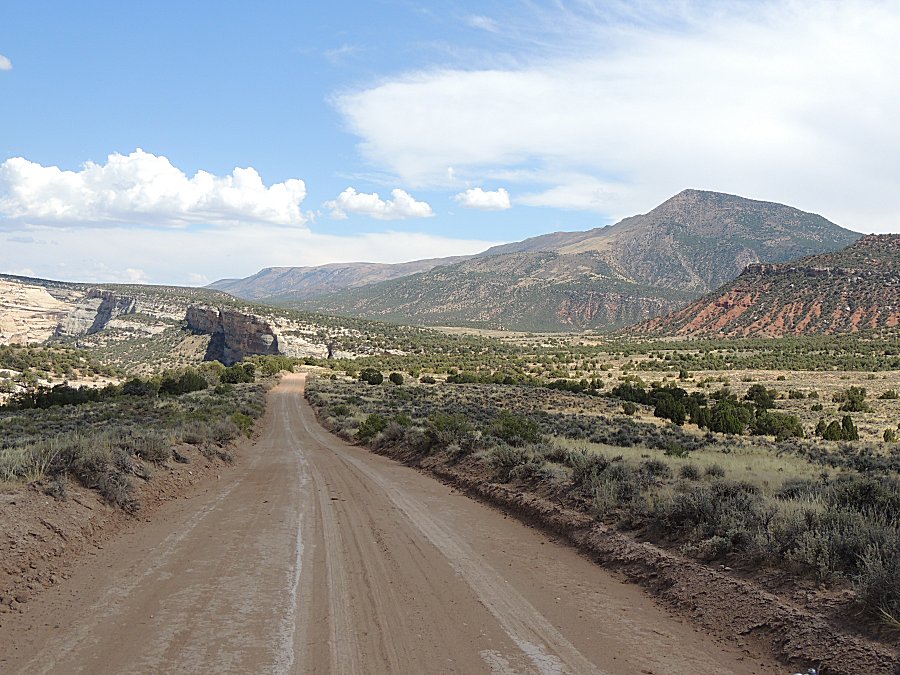
| We will be following the Yampa River. What is down at the bottom - green grass? |
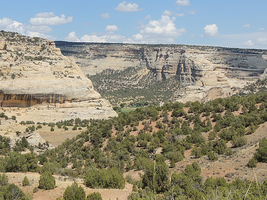
| A ranch - there is scant little out here for
housing / living. |
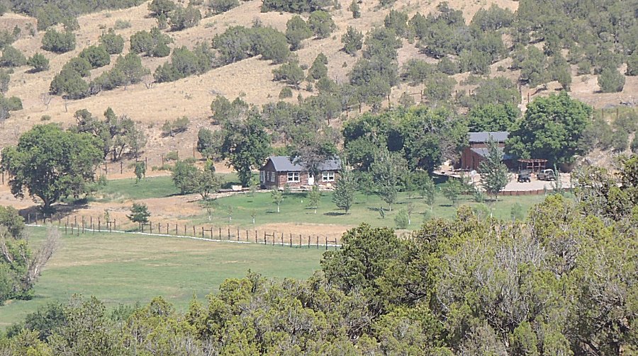
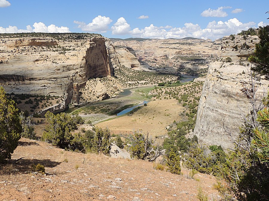
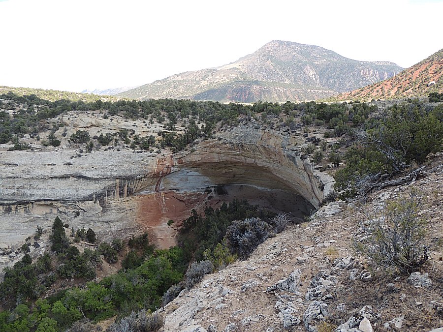
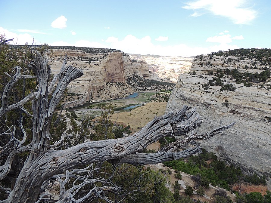
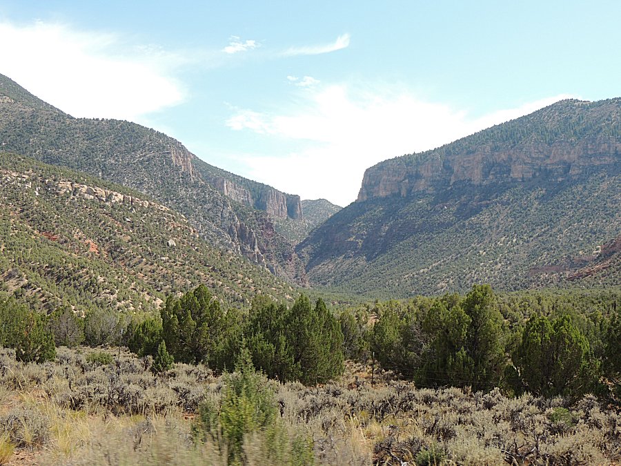
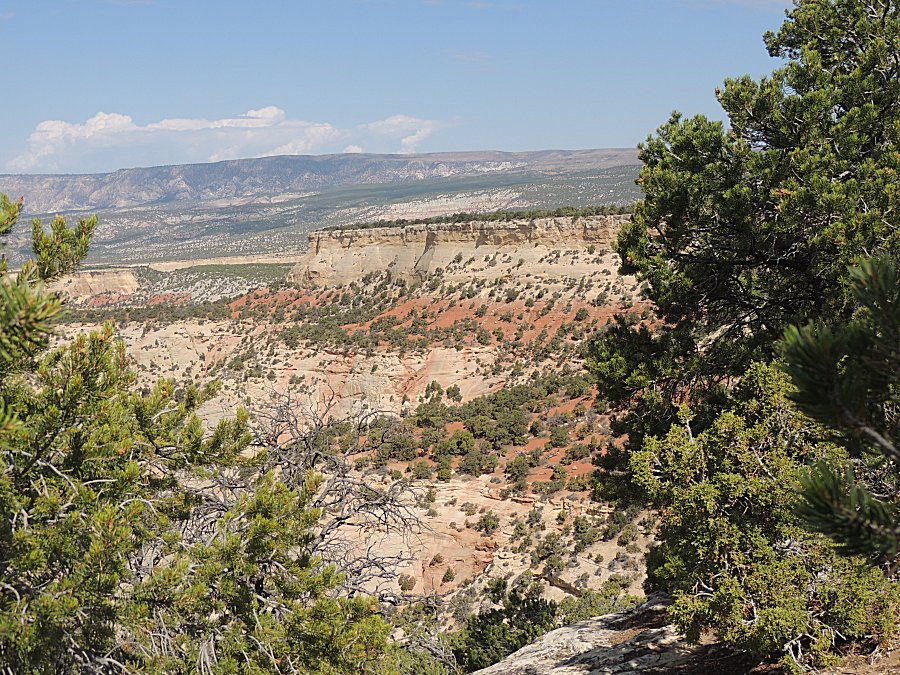
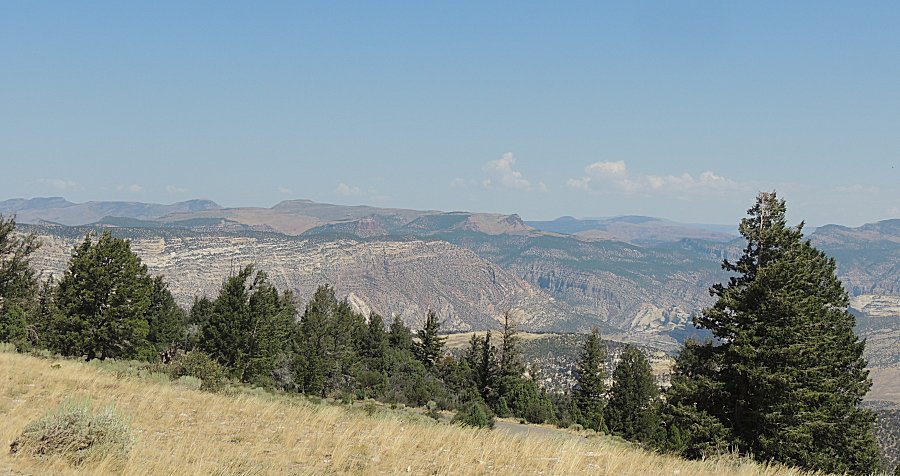
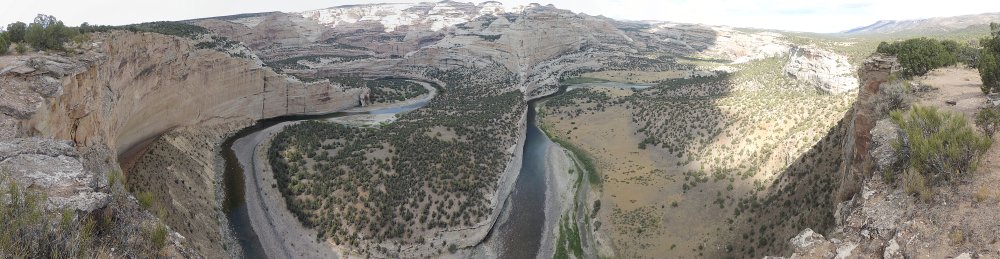
| Harding Hole Overlook Panorama Click for a larger size |
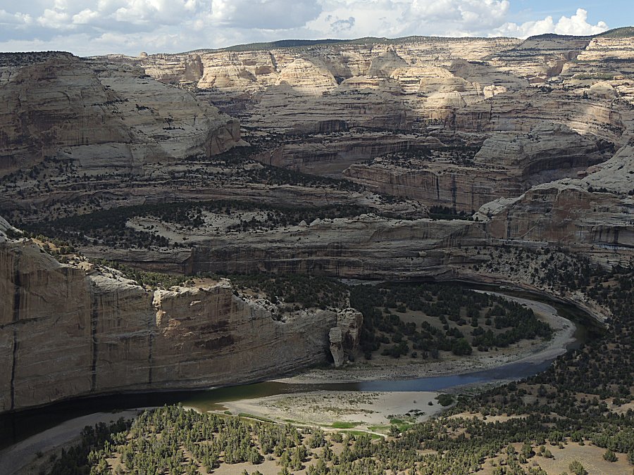
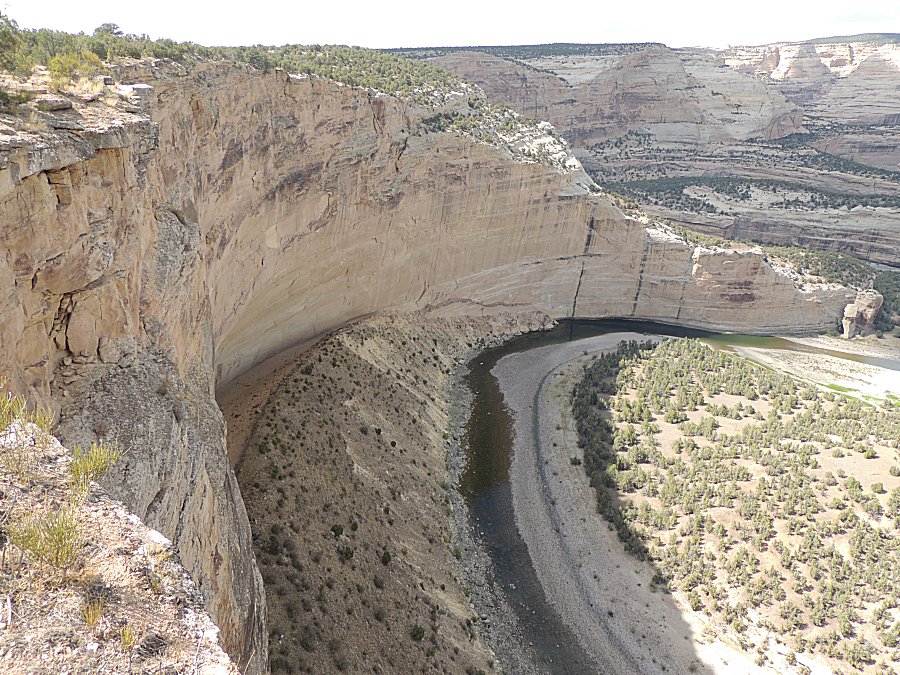
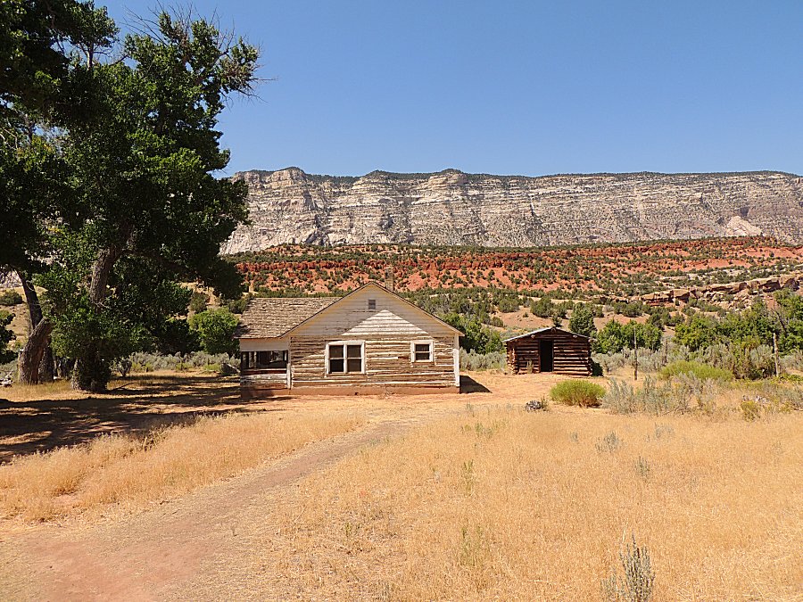
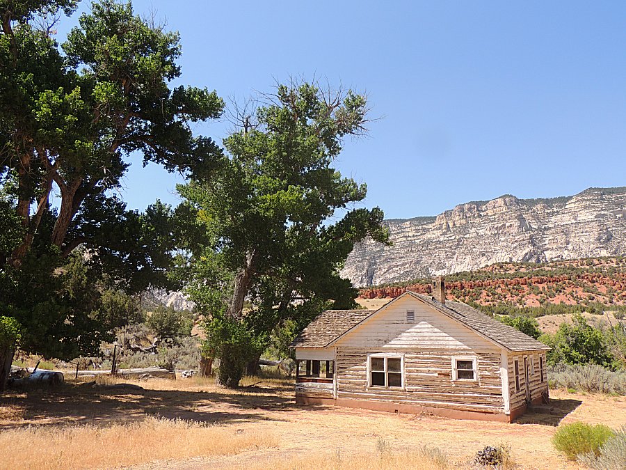
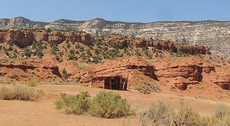
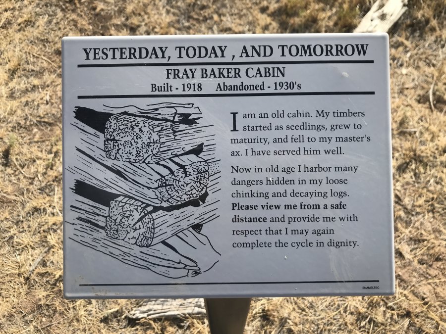
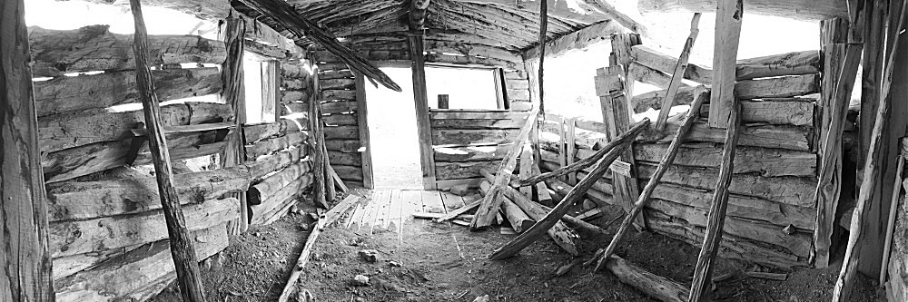
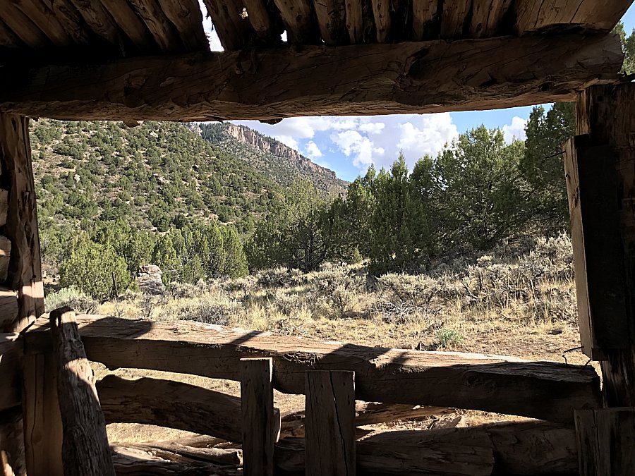
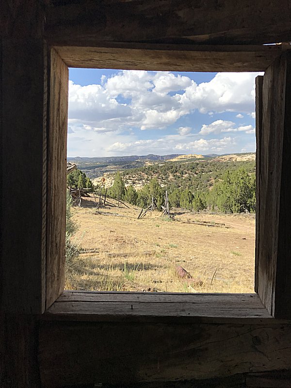
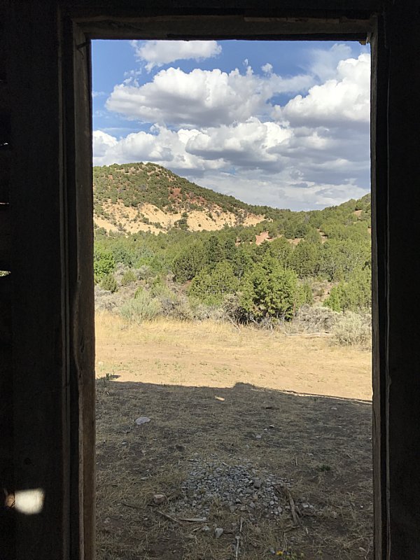
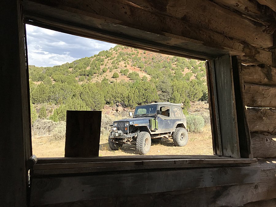
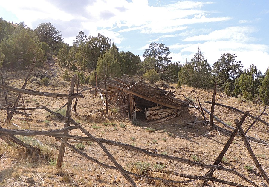
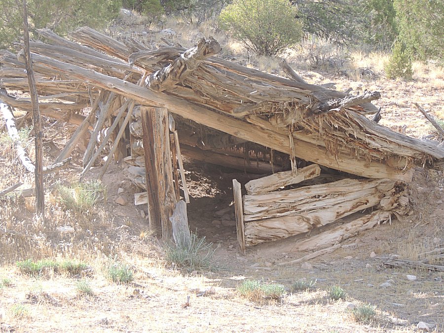
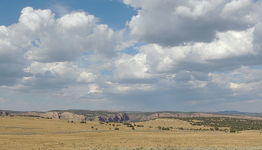
| Fray Baker Cabin |
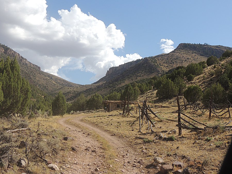
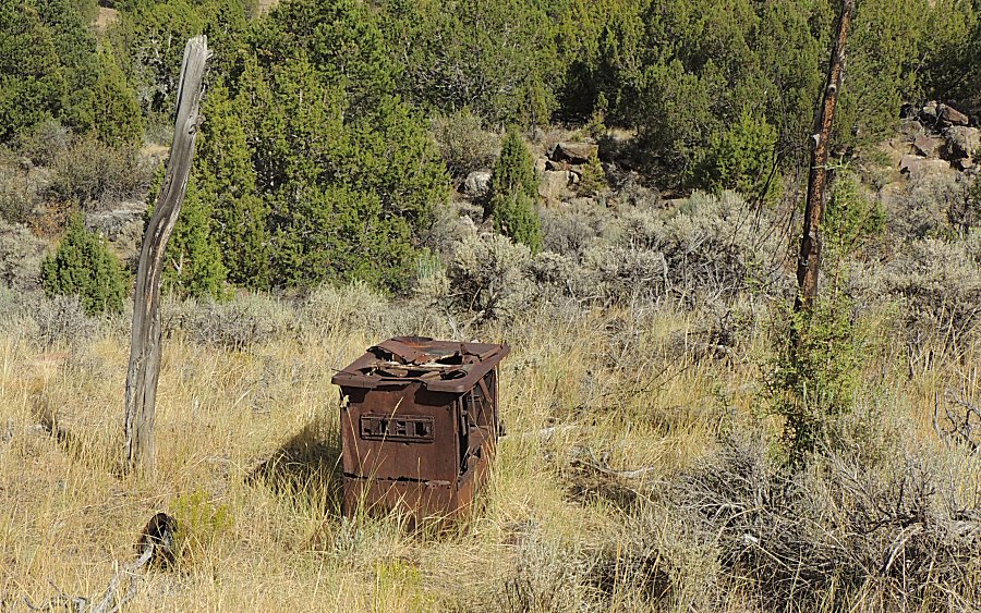
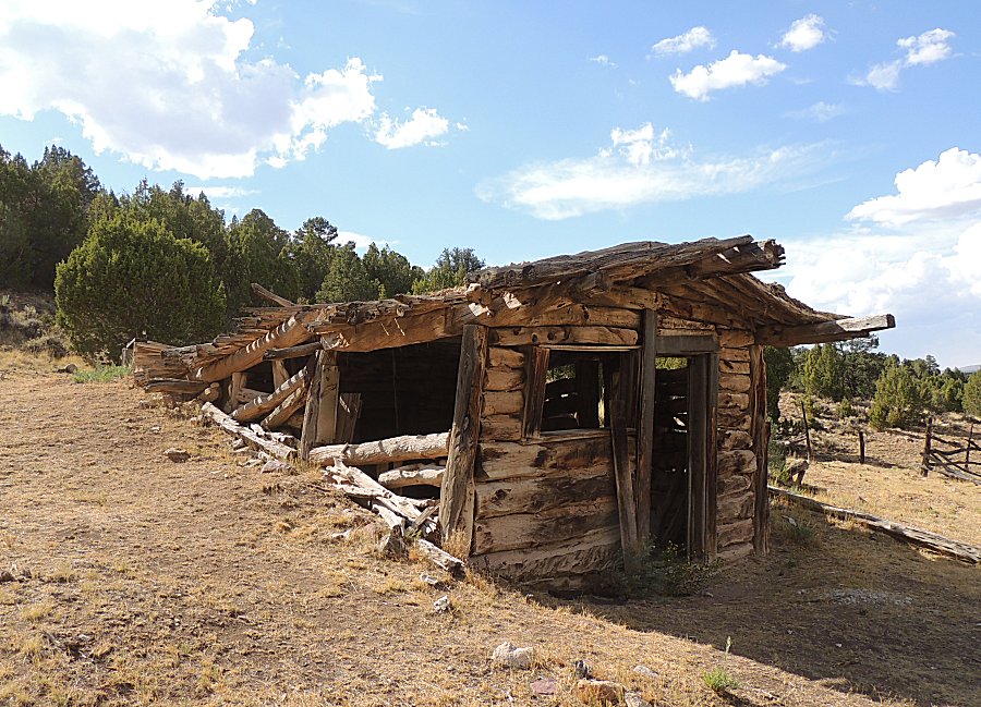
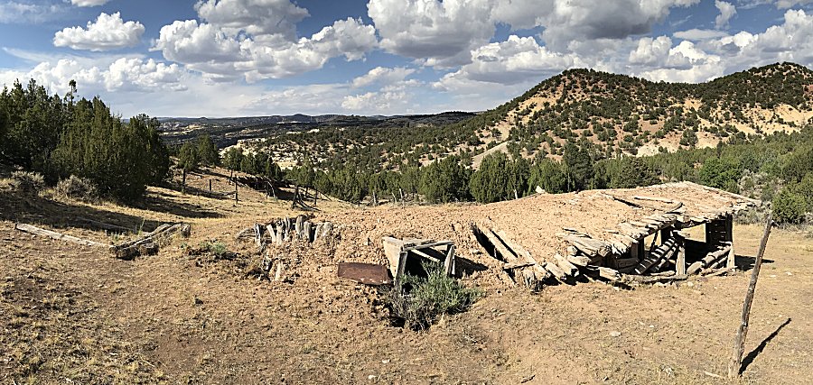
| Nice location aside from the question - where
is water? How often does water flow near here? |
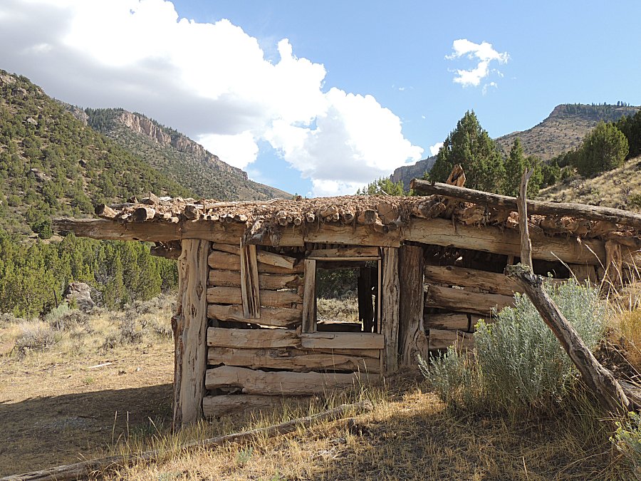
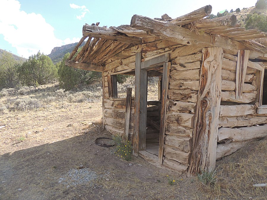
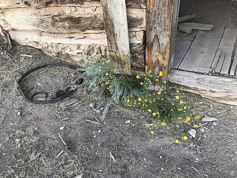
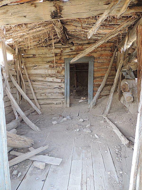
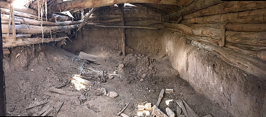
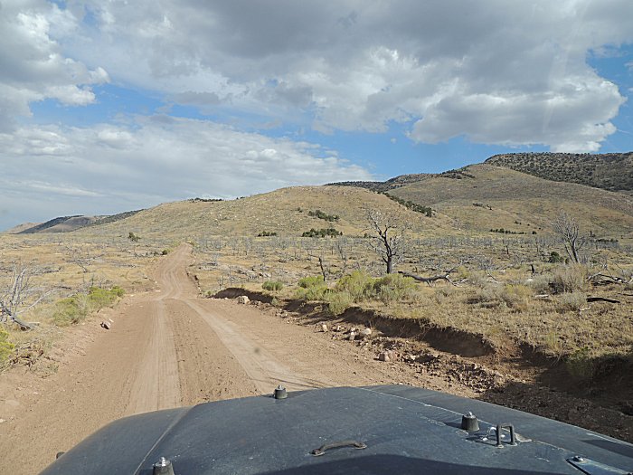
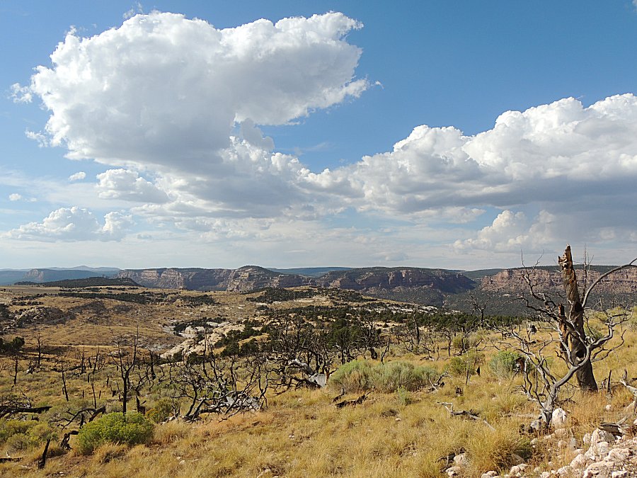
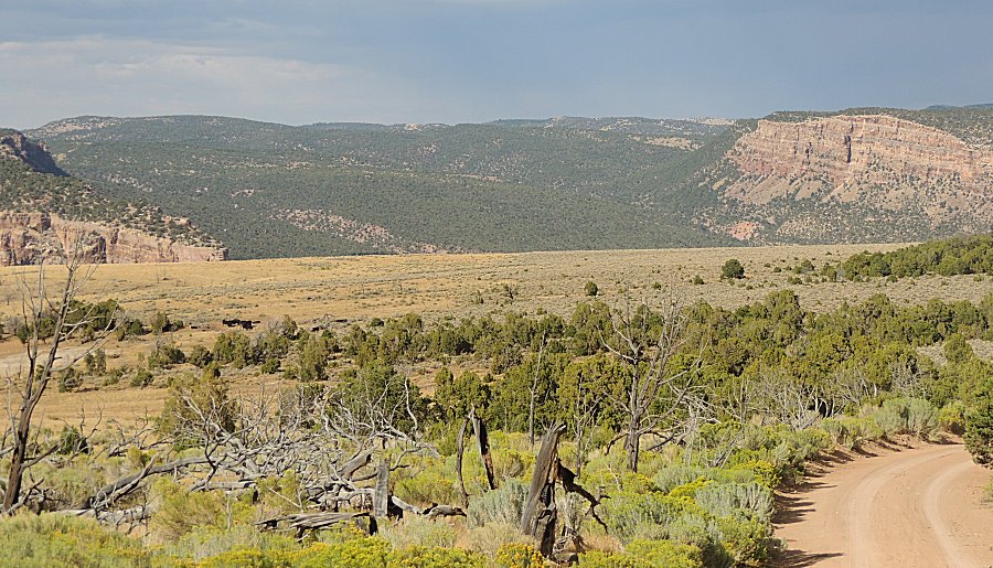
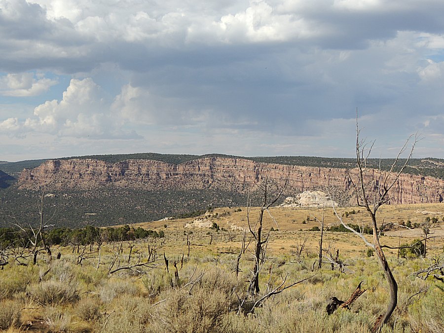
| Cattle |
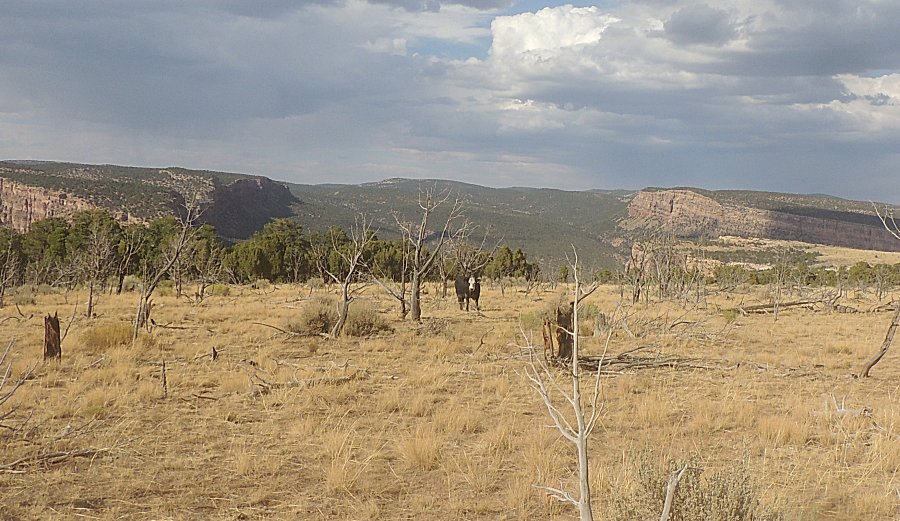
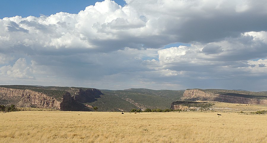
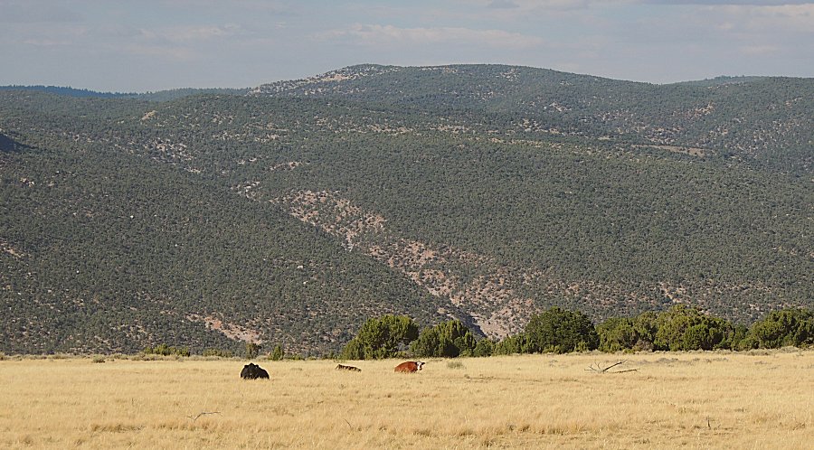
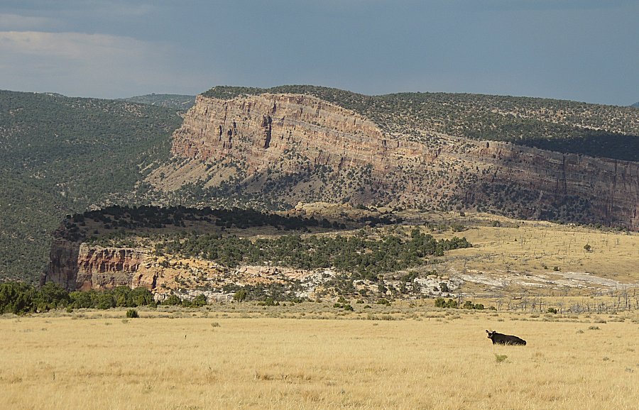
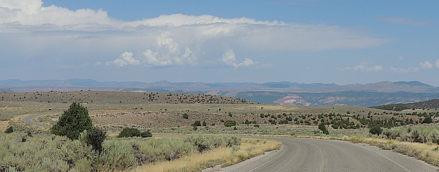
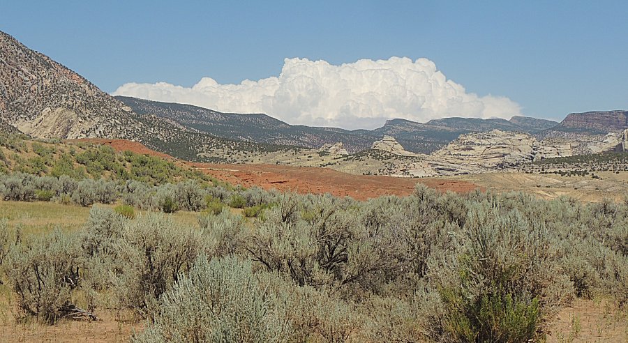
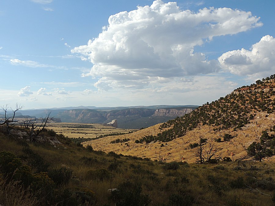
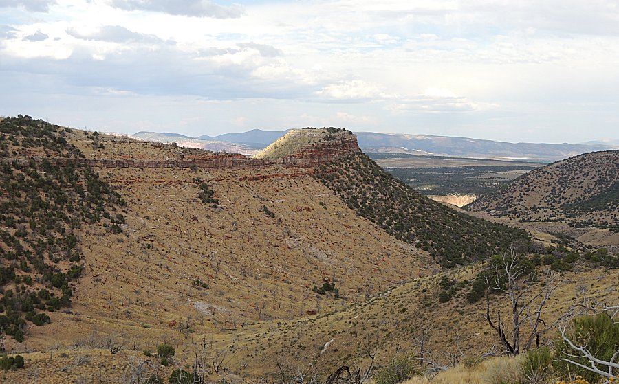
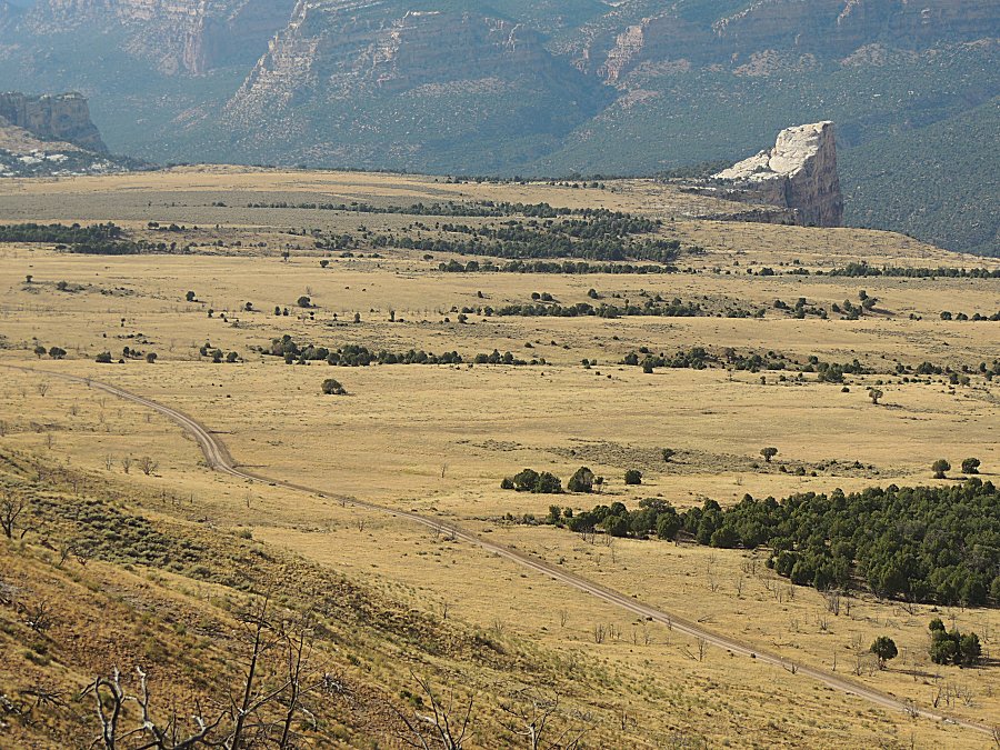
| The
road has not been in the valley with the river since out by the
Steamboat Rock campground. It has been on a mid-level land feature
(Yampa Bench?). From this point the road will travel higher to the top
level. |
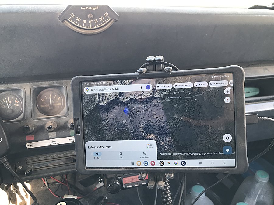
| A bit of the Jeep's cabin Google Maps view rolling - not that it is needed as there is only one road. Starlink Satellite for the data connection - zero cell tower coverage. |
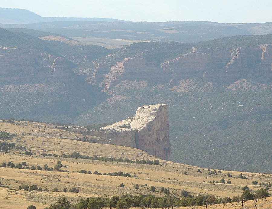
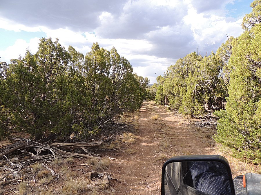
| A side path - let's see what's at the end... |
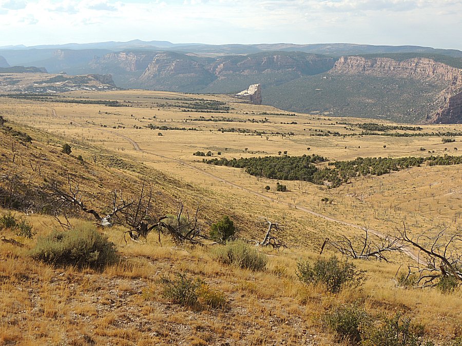
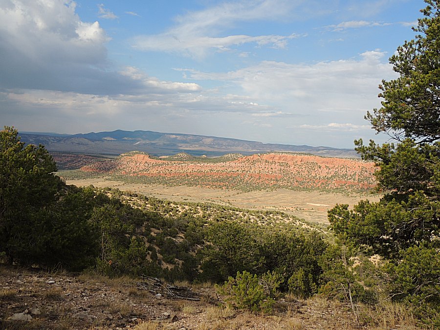
| A
campsite with a nice valley view and no "marks of man". It's quite
possible the night time view would not have a single lightbulb visible. It's 5pm. We are out of National Monument (camping only in established campgrounds) and are onto public lands that offers disperced camping. I could camp here tonight and travel home tomorrow but I have a thought of pushing for home today. I'll be to Steamboat Springs at 9:45 pm with Fort Collins at 1:20 am. |
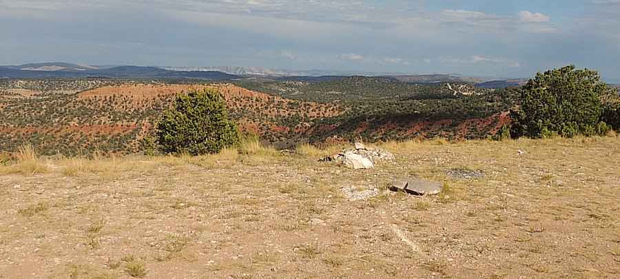
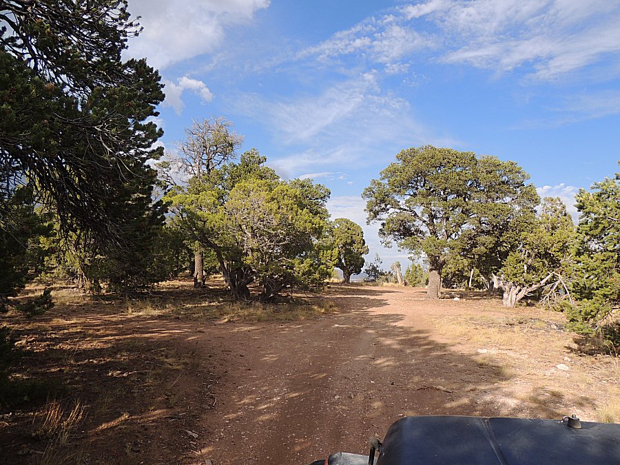
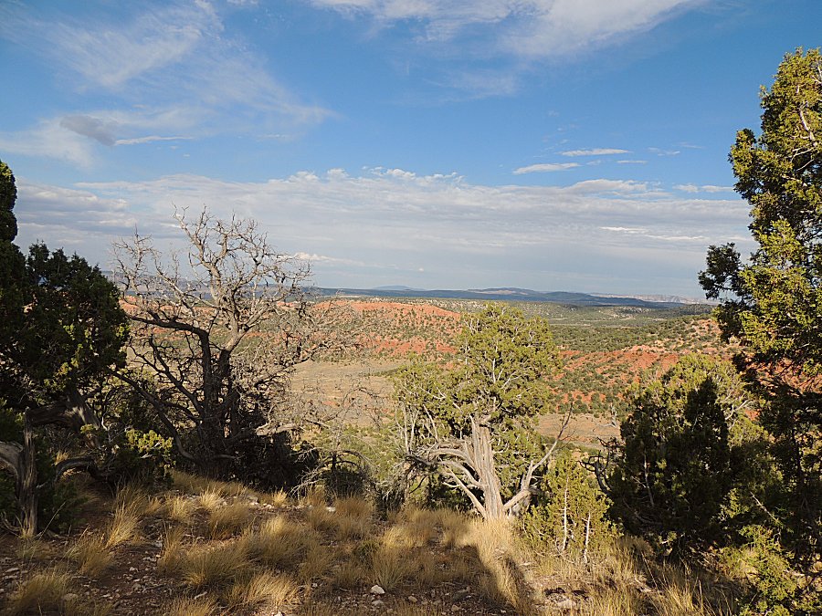
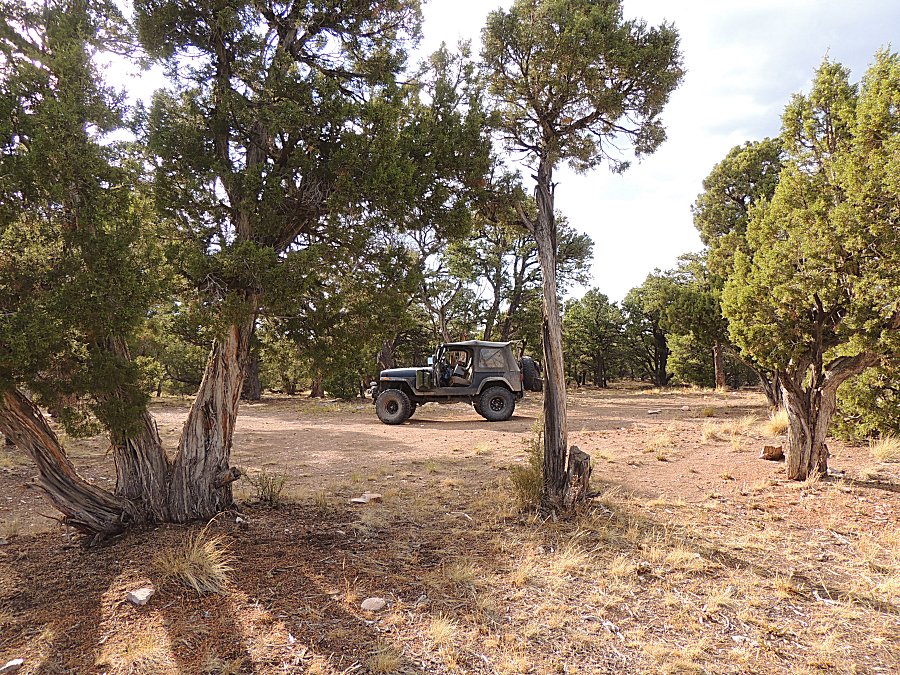
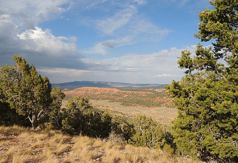
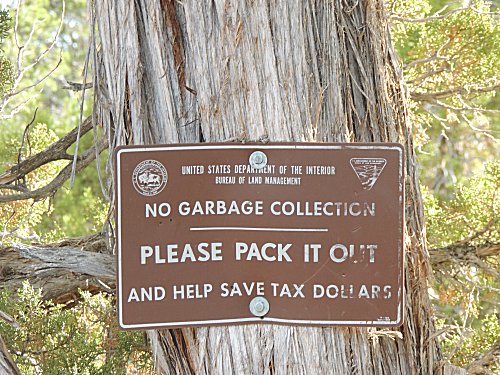
| Moving on, checking out another spur. |
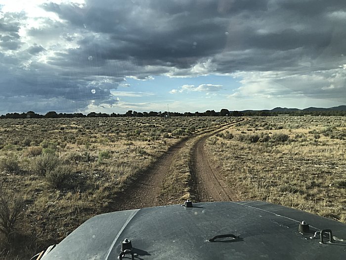
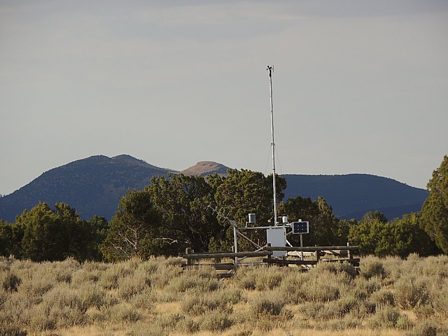
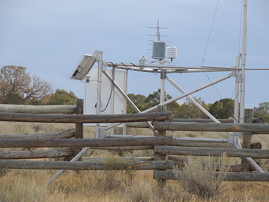
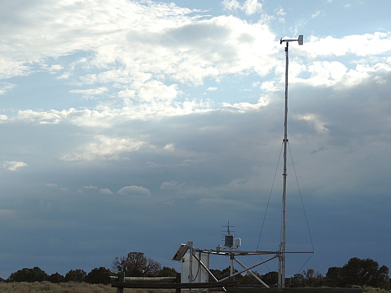
| This has a weather station. |
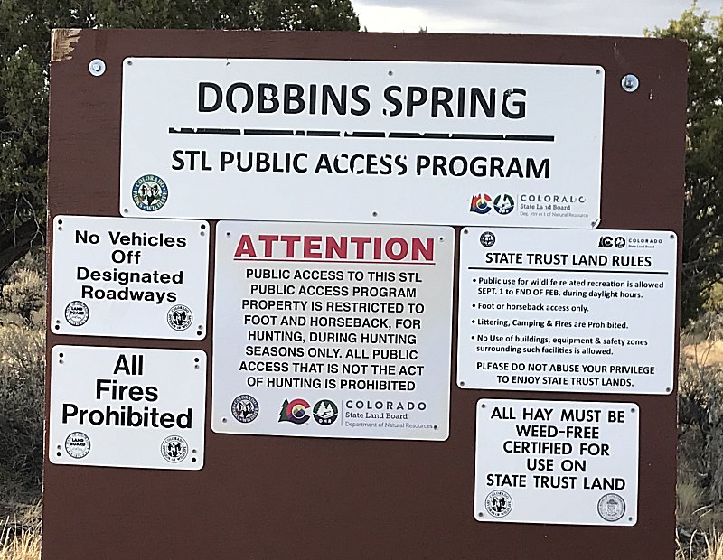
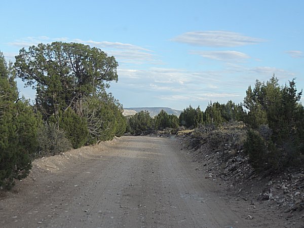
| and at the end of the road... |
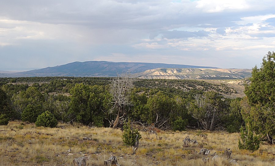
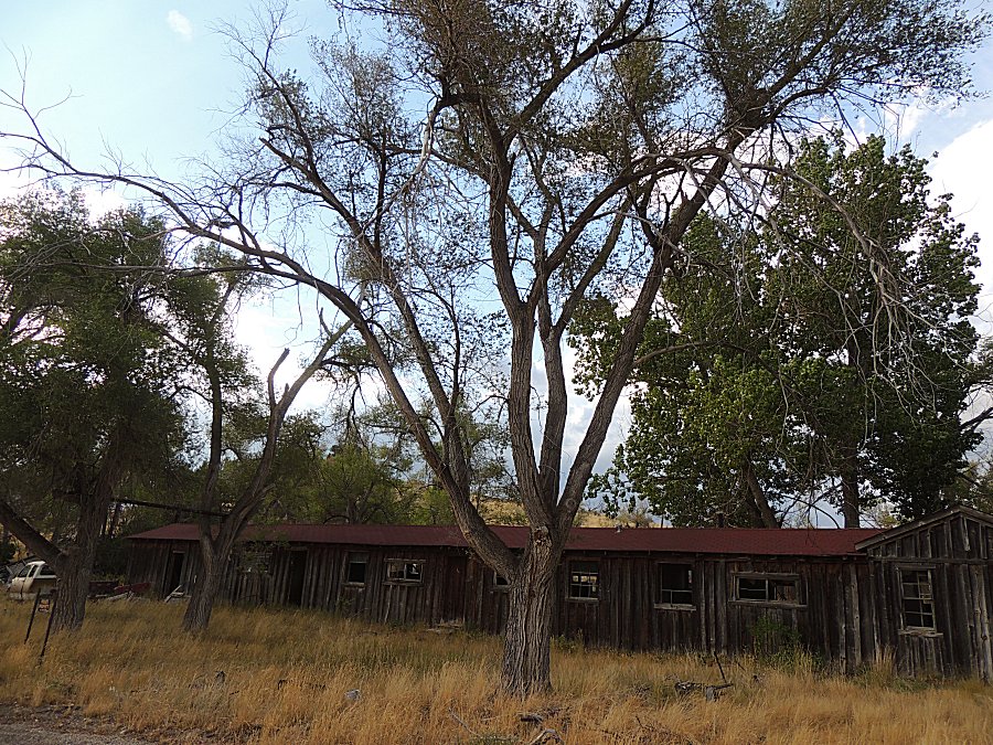
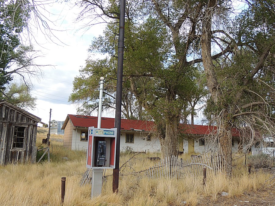
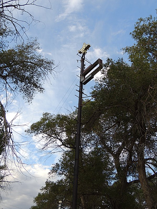
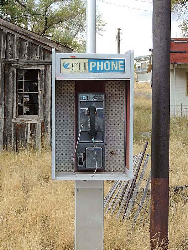
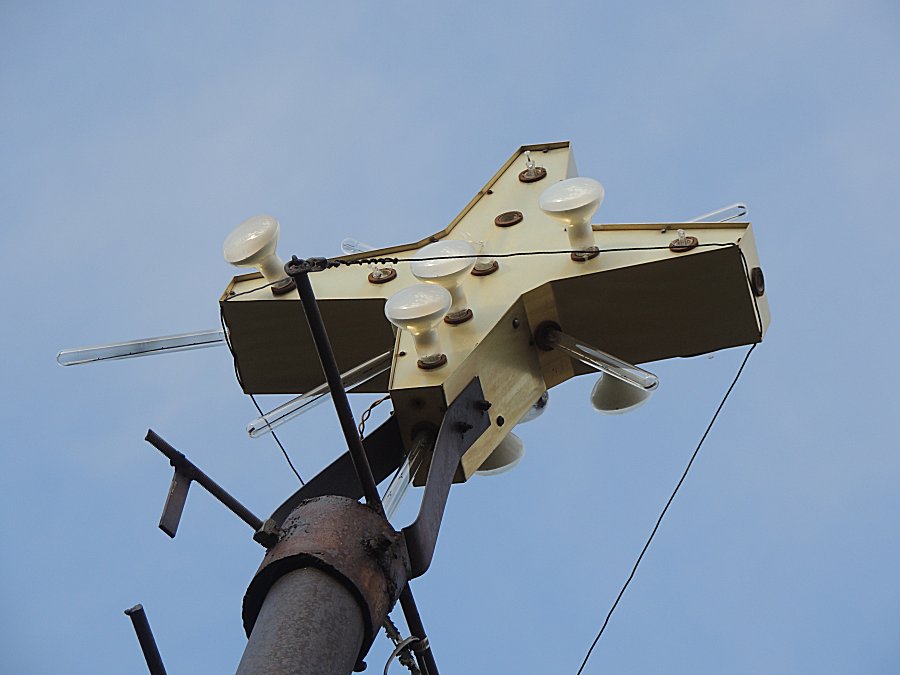
| Elk Springs Colorado Abandoned motel on US-40 Airing up the tires for highway travel. |
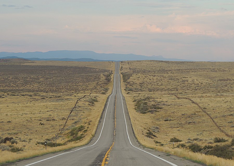
| US-40 eastbound. Steamboat Springs is probably
at the foot of the mountains. |
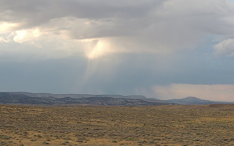
| Some rain to the north of me. |