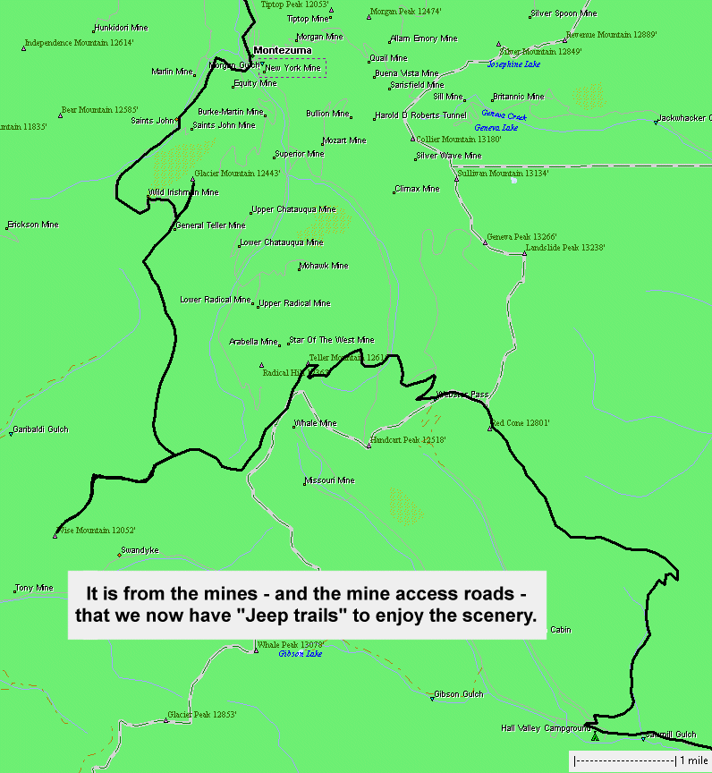
Red Cone, Radical Hill, Wise Mountain cabin, Saints John
|
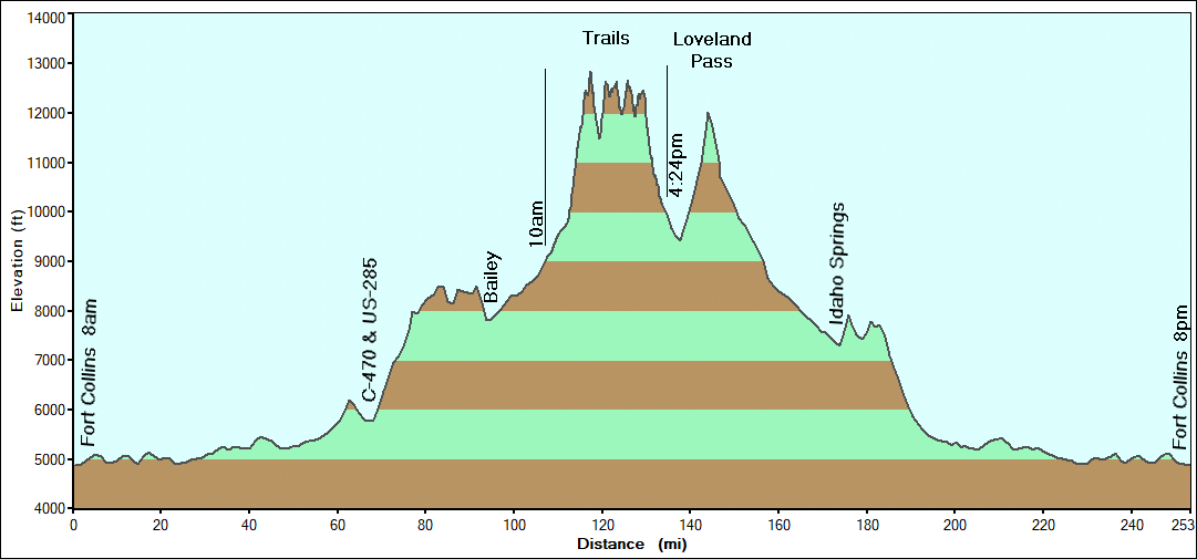
The
goal for today is Red Cone. Weather is unknown. While rain and fog is
acceptable, lightning is not. The morning opened to calm, clouds, and
some mist - but no lightning. Ahead we drive. The weather ended up
being quite nice and we kept to the plan of the above timberline trails. |
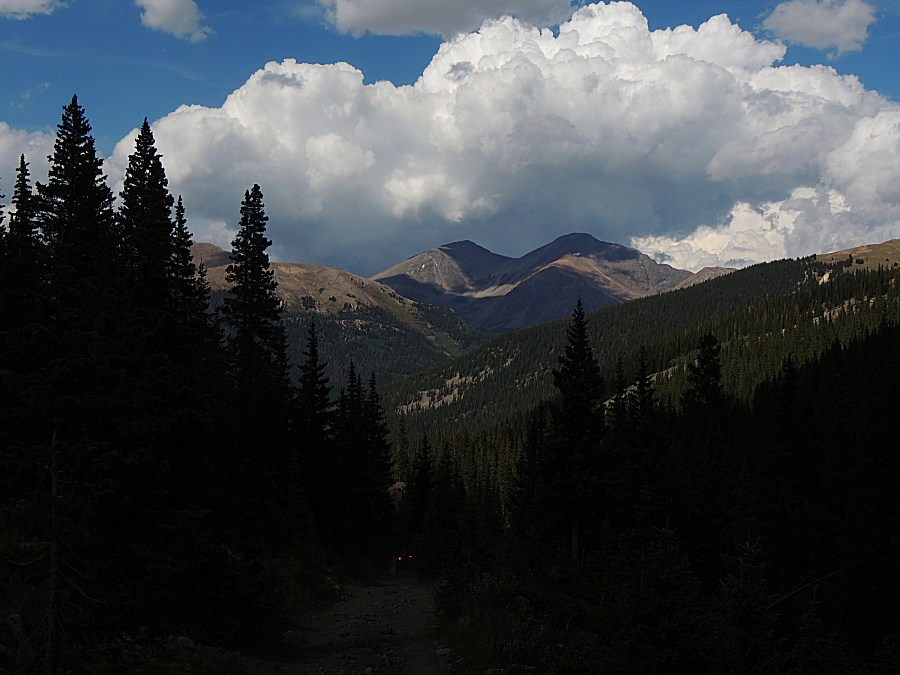
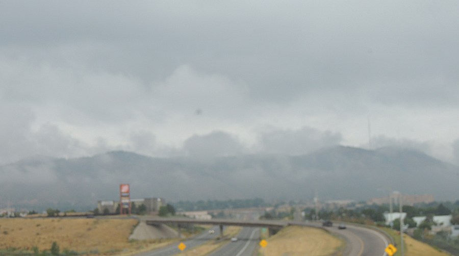
| Down in town - the sky is grey with low clouds. Will Red Cone be fog? |
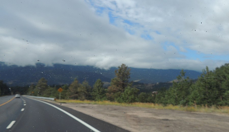
| US-285 - getting up into the mountains and out of town a bit - some blue. |
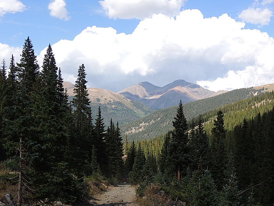
| more blue sky as the day warms |
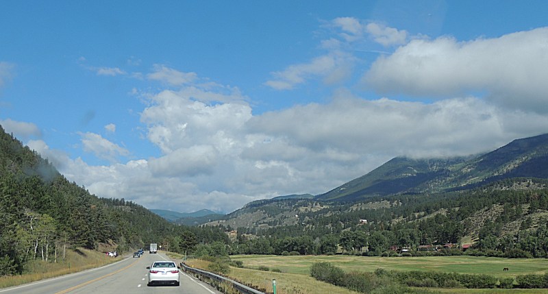
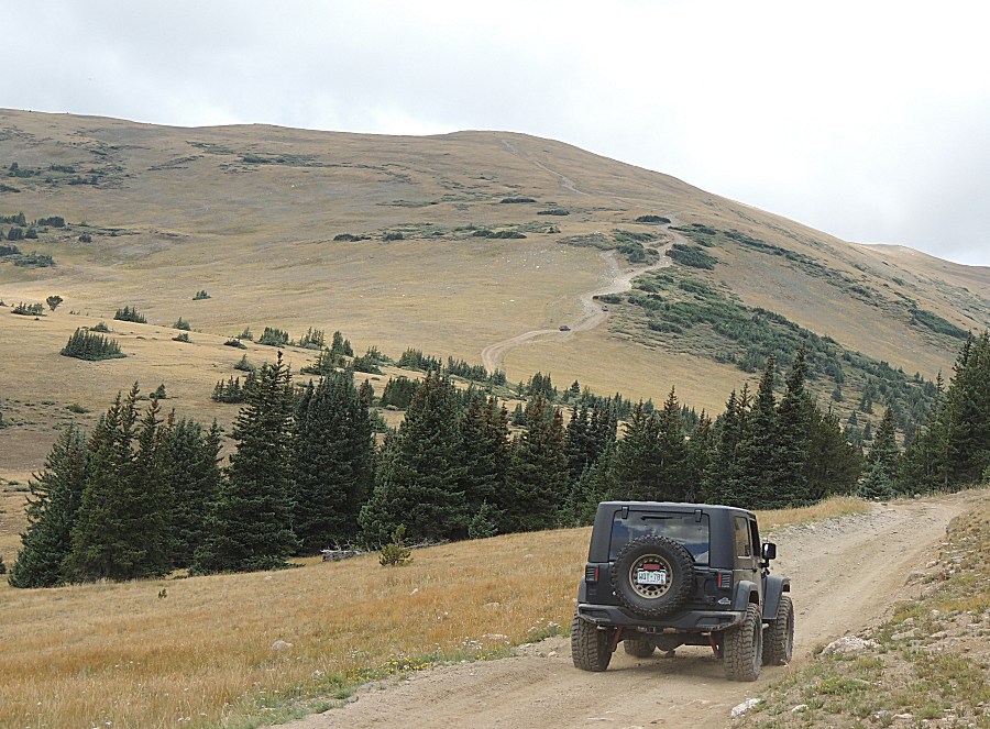
| Aired down and moving |
| Still a fair bit of cloudy sky - but there's promise (I somewhat hope Red Cone will be fog - that would be unique) At least the chance of lightning is near zero. |
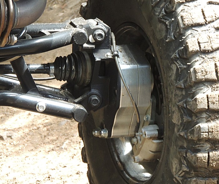
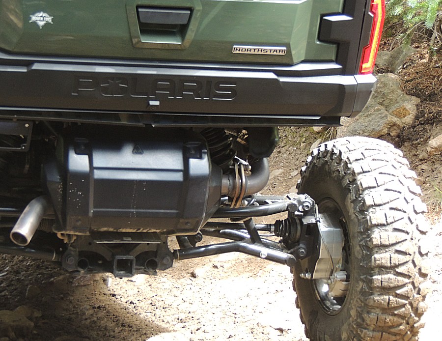
| Sitting
ahead was a full size side-by-side - with portal axles. These are
aftermarket bolt-on adapters. They give several inches of lift to clear
rocks. |
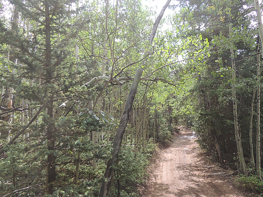
| A NICE covering of GREEN (not dead) pine trees. |
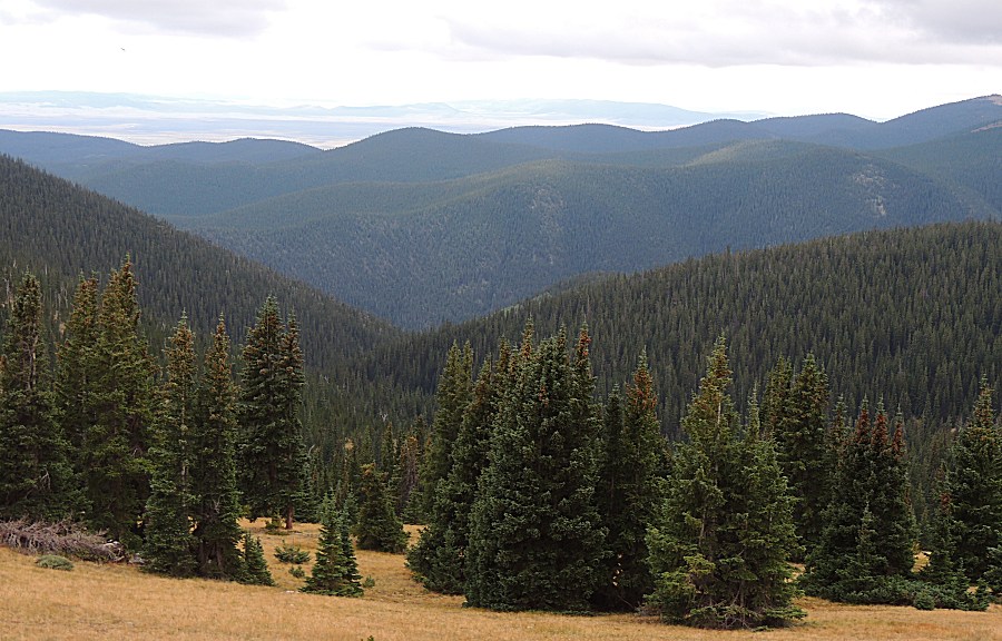
| Near timberline - the "right braid" of trail. |
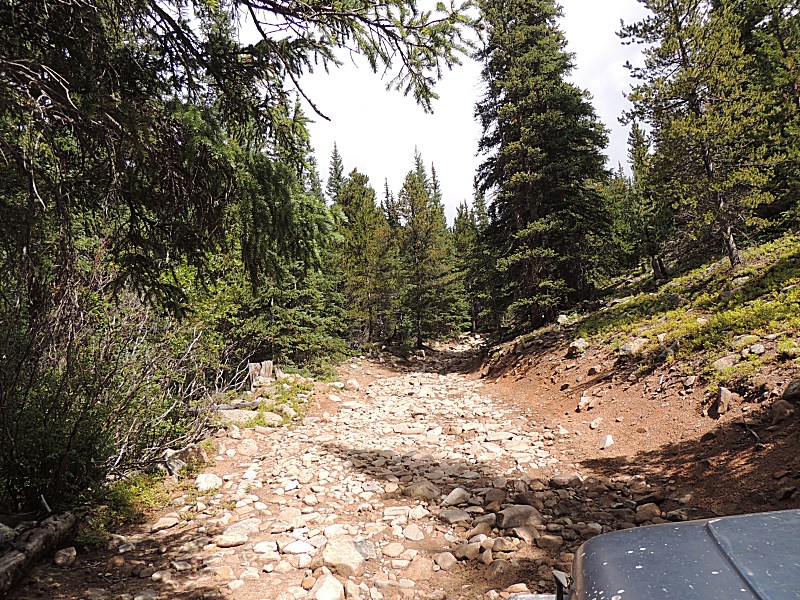
| still climbing. |
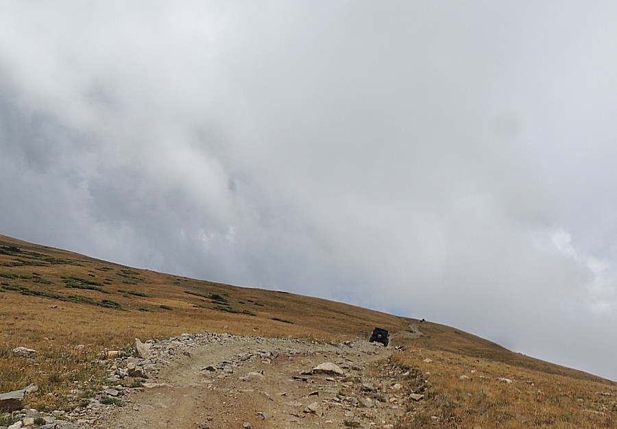
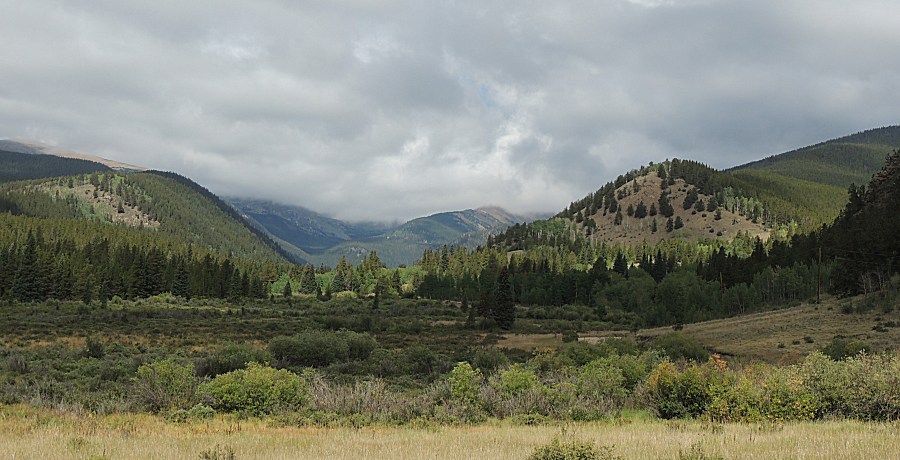
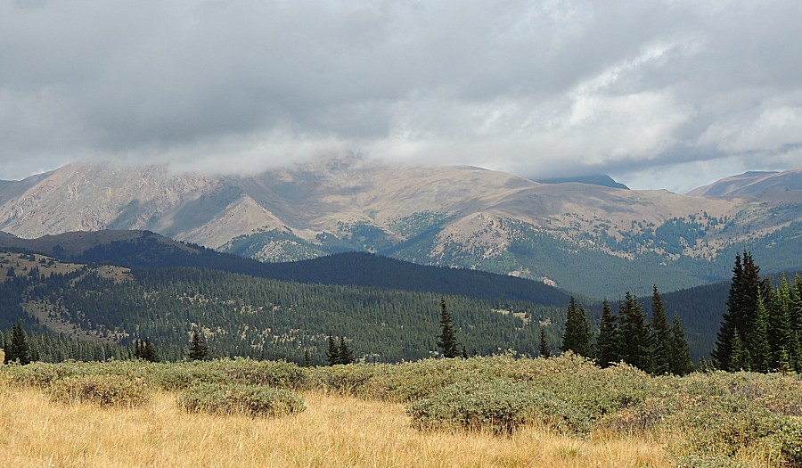
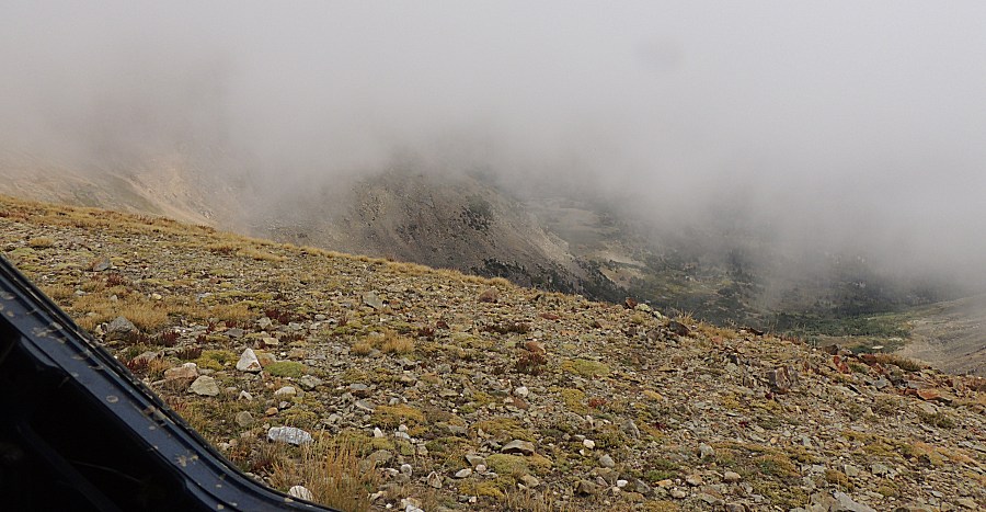
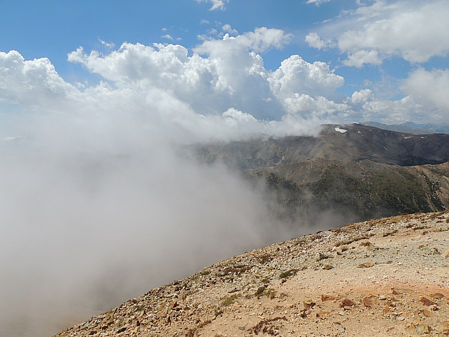
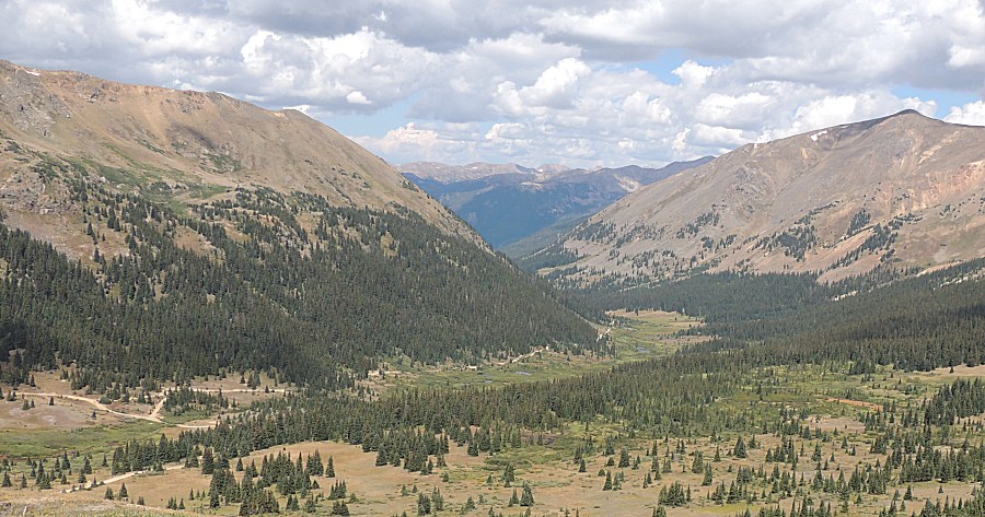
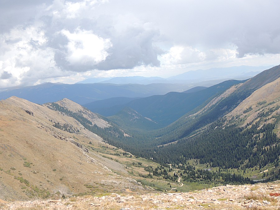
| Up high enough to look along the base of the clouds |
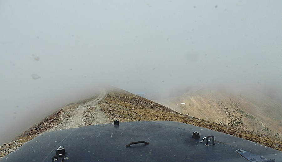
| Red Cone, ahead, fogged in. |
| A treat to see different weather as it's typically a blue sky day event. |
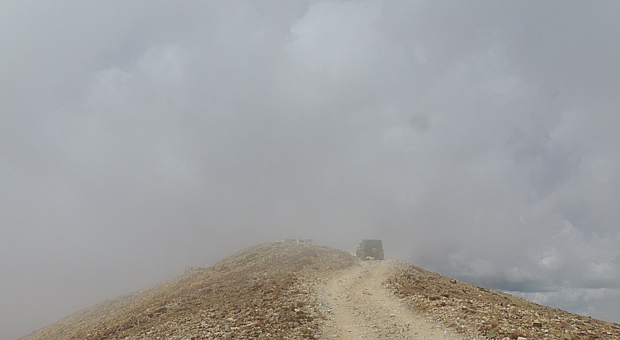
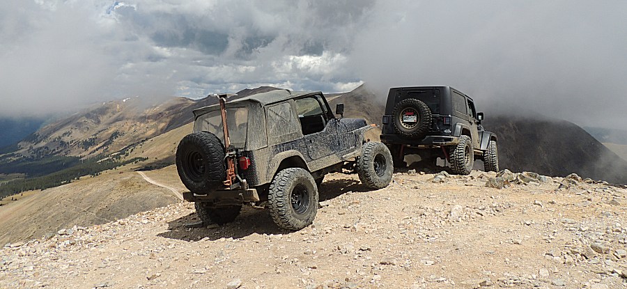
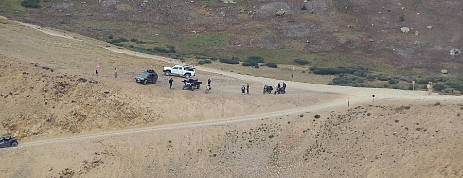
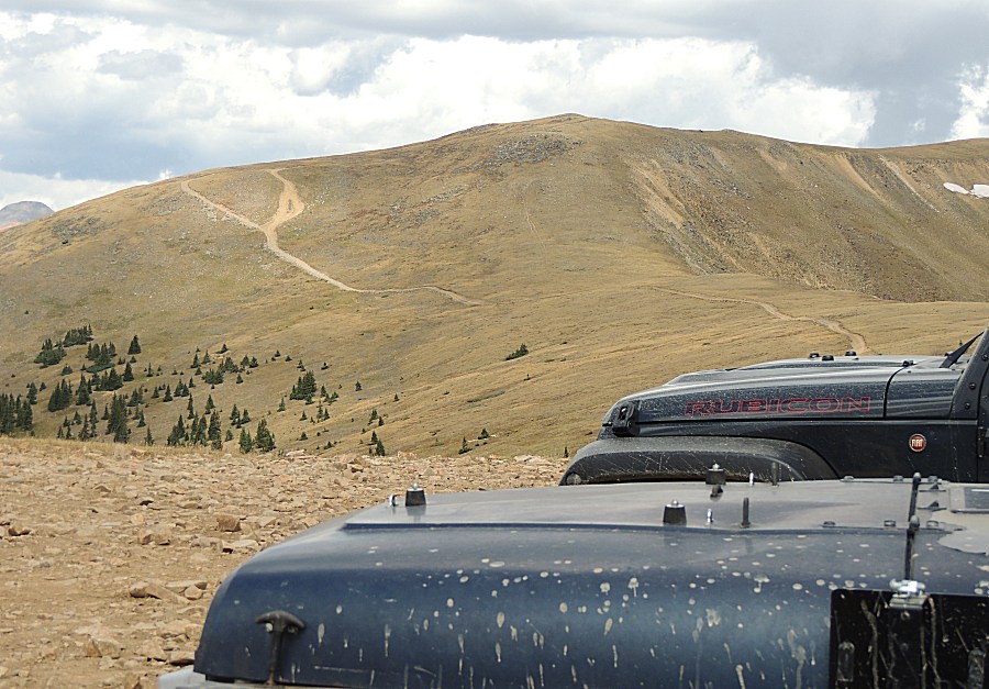
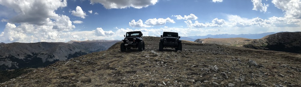
| Right near the top - parked vehicles barely visible. |
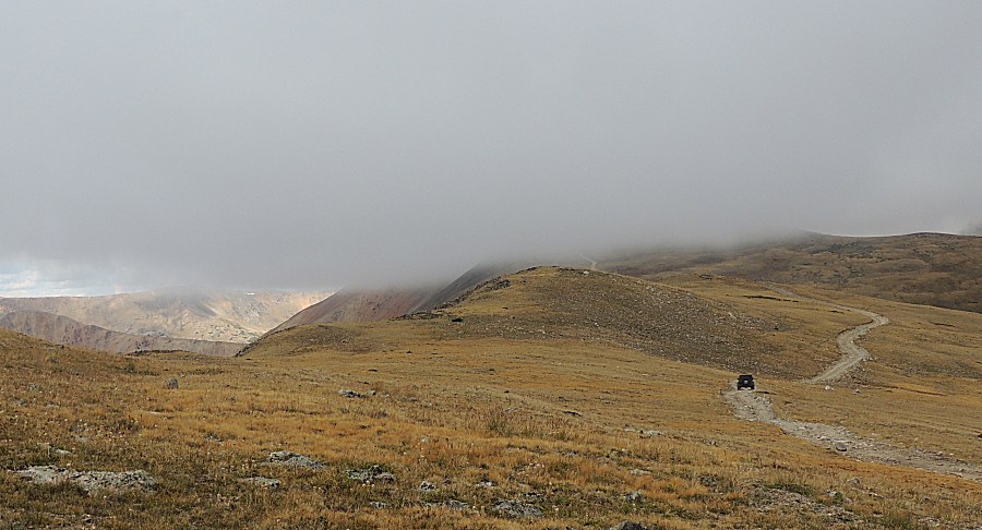
| And
we get here and the fog rolls out. Shucks - I was hoping for full cloud
cover to have a unique experience. I recall, years back, standing at
the south rim of the Grand Canyon, in a good snowfall, tossing a
snowball into "some big hole that should be out there - but was
completely hidden in white". |
| People gathering at Webster Pass. We will arrive from the right edge of the picture. |
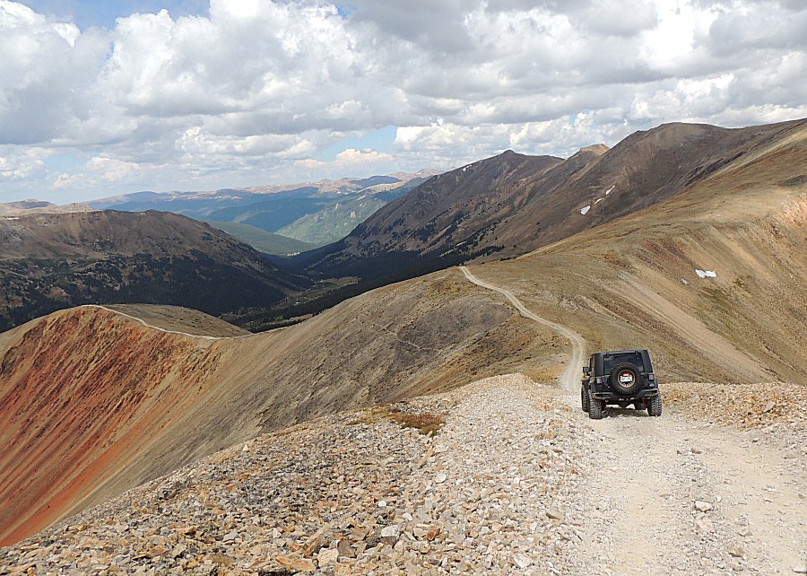
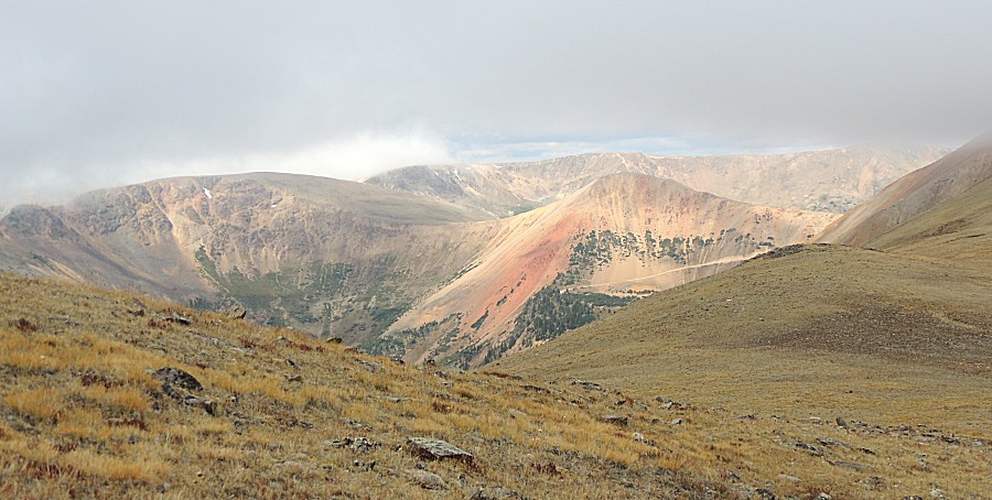
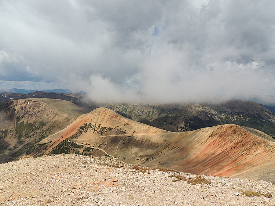
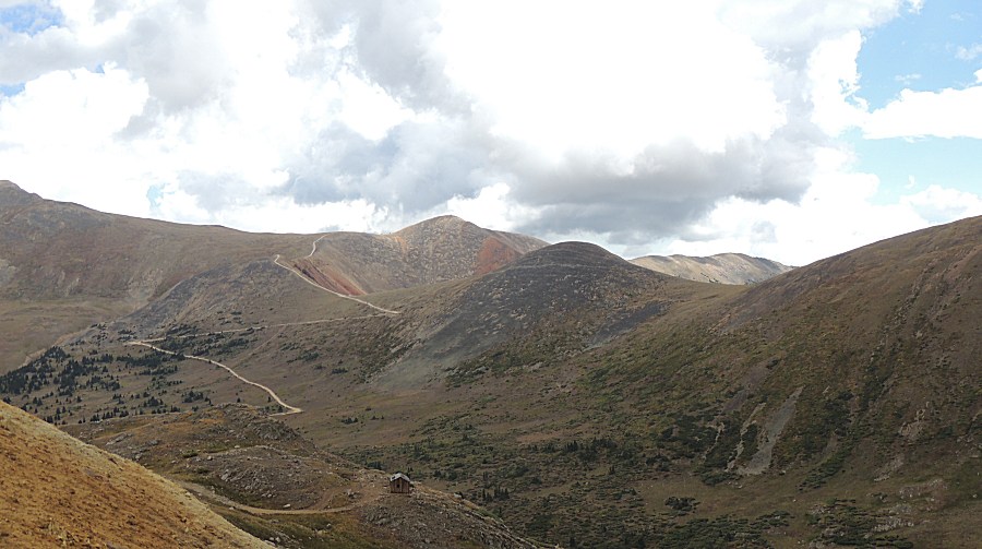
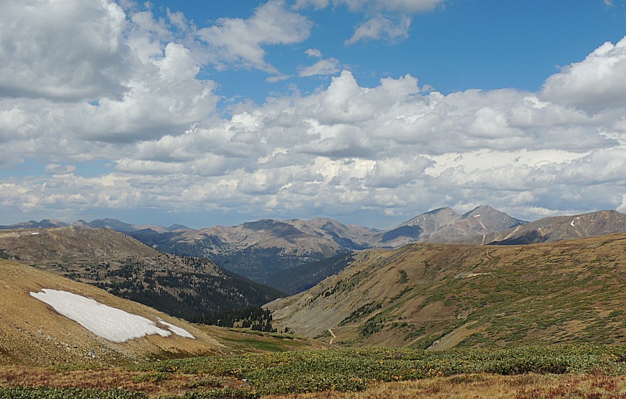
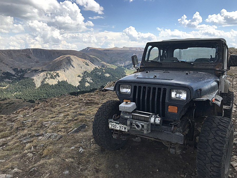
| A nice Red Cone mountain view - easy to see where it gets the name. |
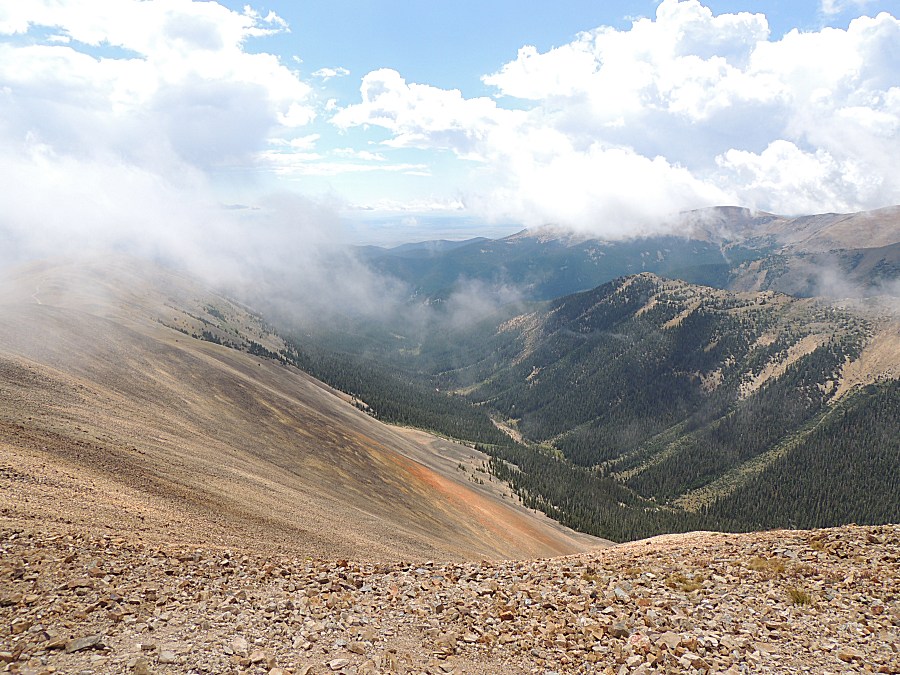
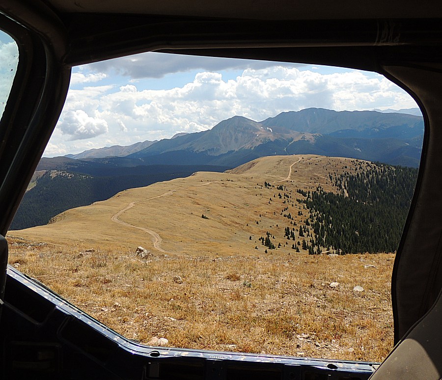
| Looking
down-valley towards Montezuma. The trail in the picture is an easy
trail - not what is on the docket for today. Radical Hill - heading off
the left edge of the picture is the next to travel. It has three
difficult rocky sections down low and one attention grabbing off-camber
shelf road higher up. |
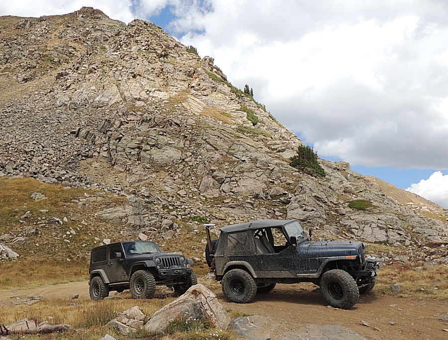
| Jason at one of the rock obstacles. The portal side-by-side behind. |
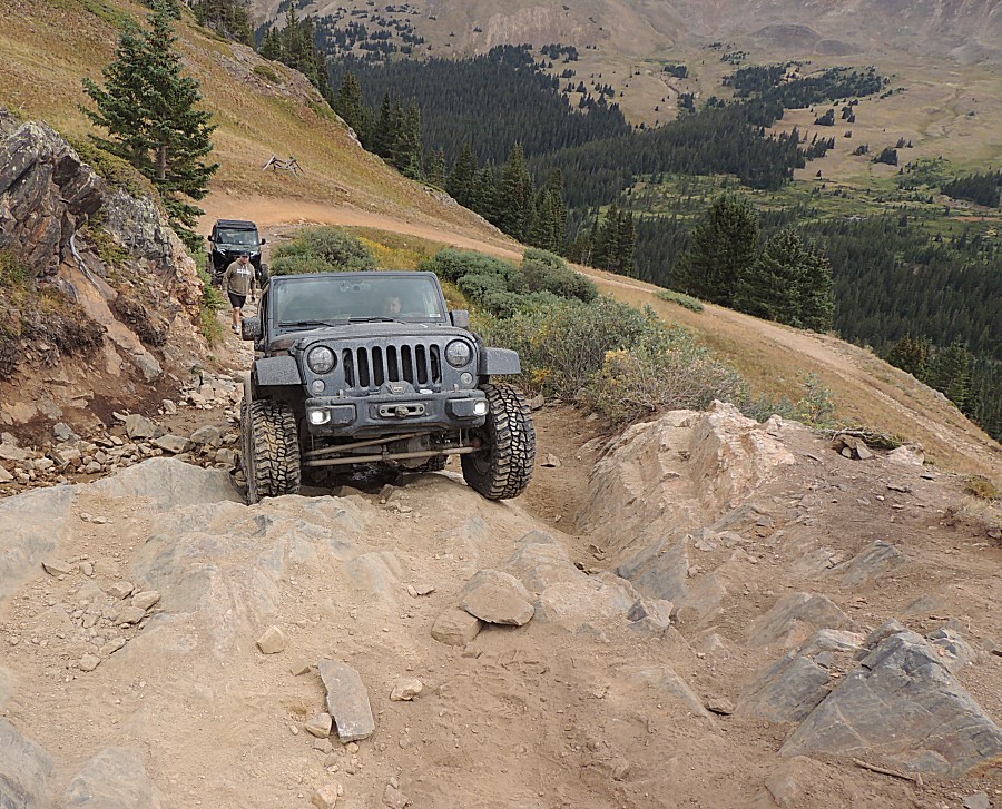
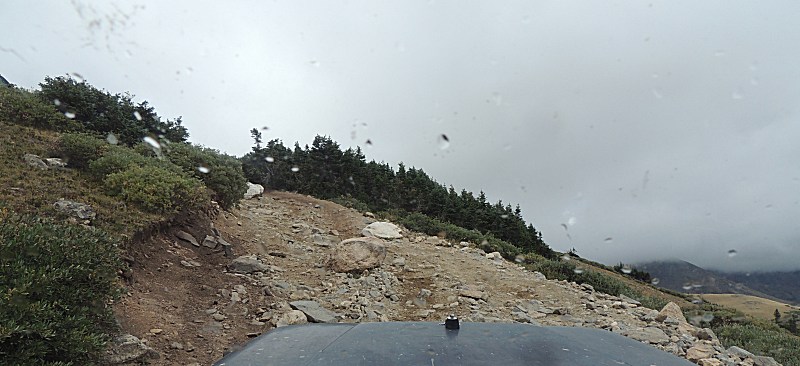
| Sorry,
no rock obstacle pictures - I was focused on getting over them. I'm
down one wheel (three wheel drive) with the right front tire
free-wheeling. I thought I could easily enough run the trail this way
and not need to change to a fully operational wheel hub to have full
4-wheel drive. In the end, I was able to run the trail with 3-wheel,
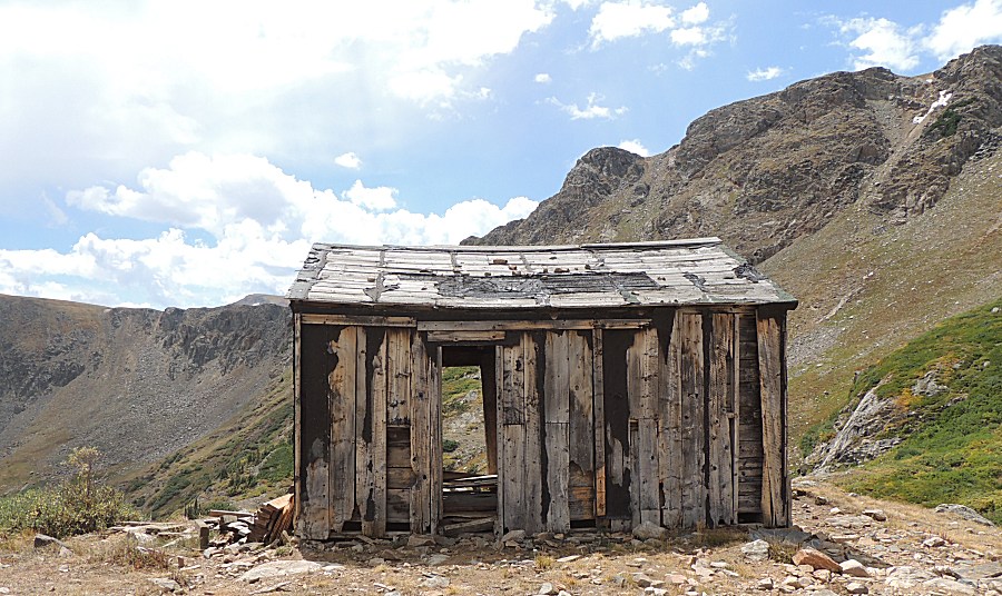
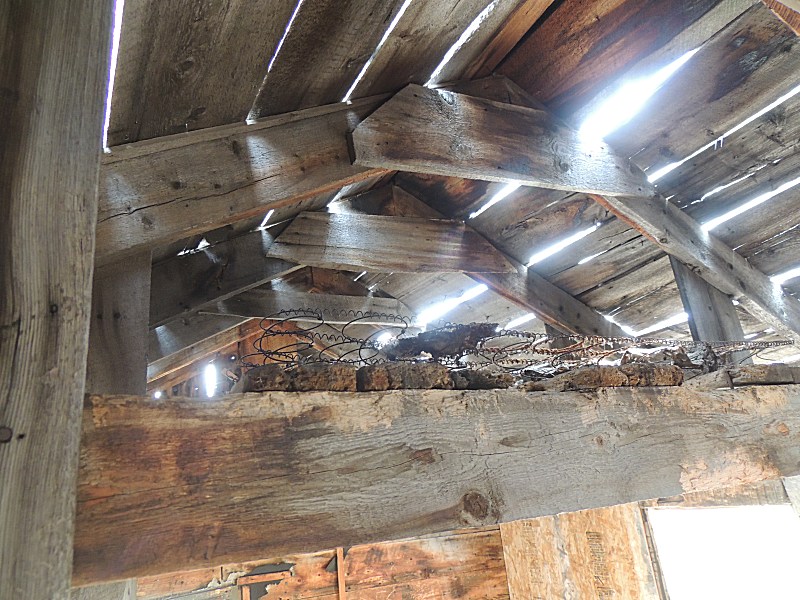
but it would have been easier with all four propelling. The cabin's hanging in there - but for how long? |
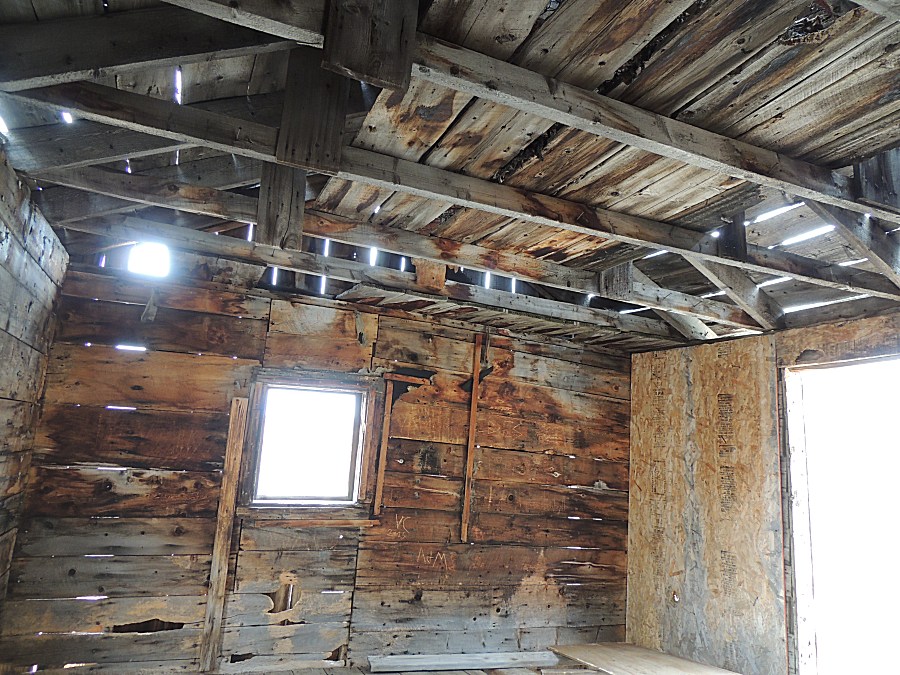
| The loft bedroom |
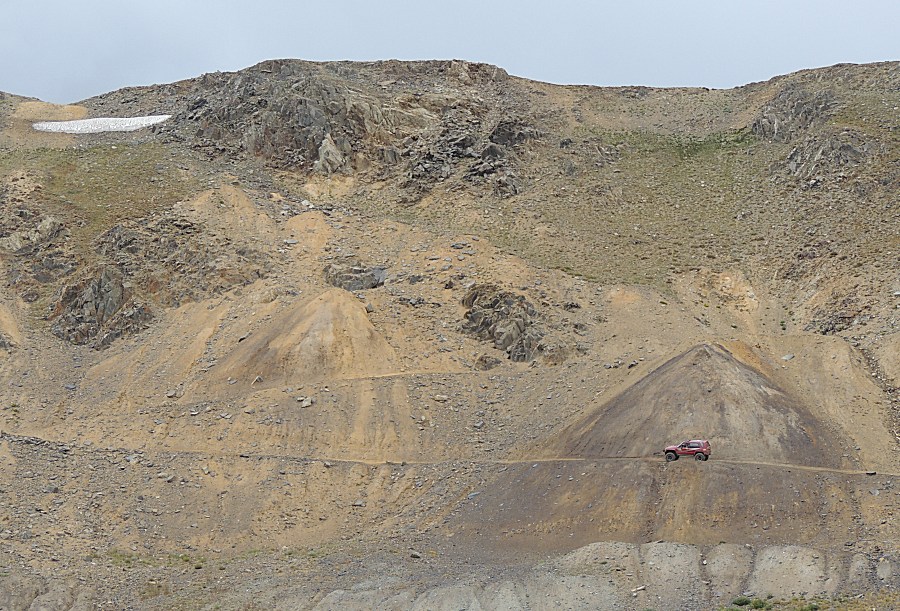
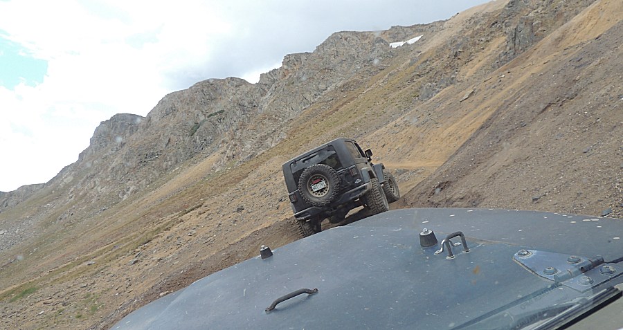
| Red truck drives the tippy, off-camber section across a tailings pile. |
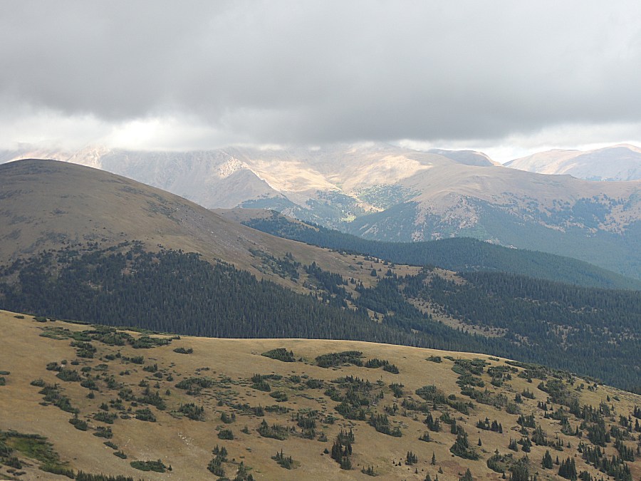
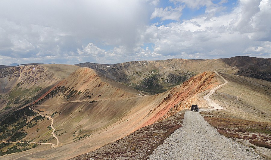
| Looking back at Red Cone, Webster Pass, and the Radical Hill cabin. |
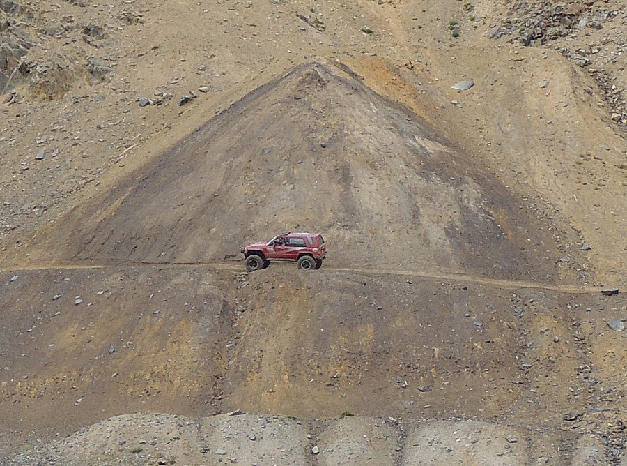
| Our turn for the off-camber tippy section. |
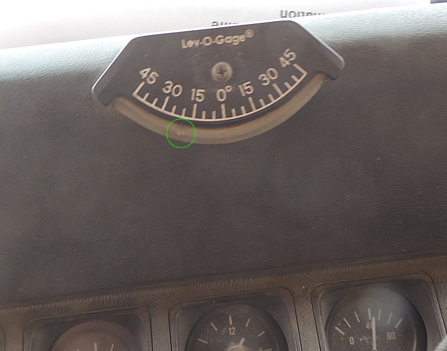
| I'm
"riding the berm" about 80% up the side for a bit less lean. Just
under 20 degrees of lean - perhaps a few more degrees for the ahead
Jeep. It does not sound like much, but looking out the door to the slope, I don't want to tip. |
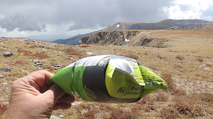
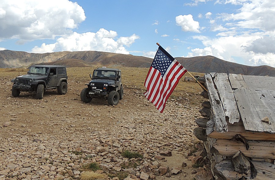
| Always
fun to keep a bag of chips sealed until the top of the mountain - how
firmly puffed will it get? Will it hold or will the bag pop? While I do not know where this bag was packaged, Salem Oregon is the address. Salem has an elevation of 177 feet. Atop Radical Hill is elevation 12,618 (12,441 feet higher). |
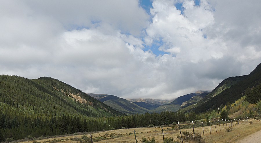
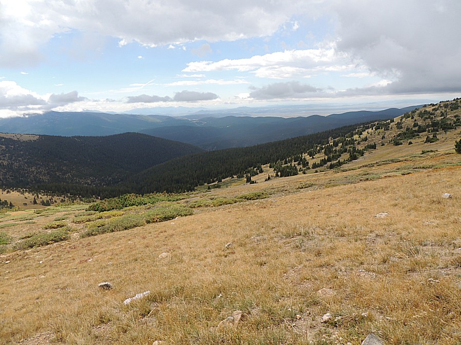
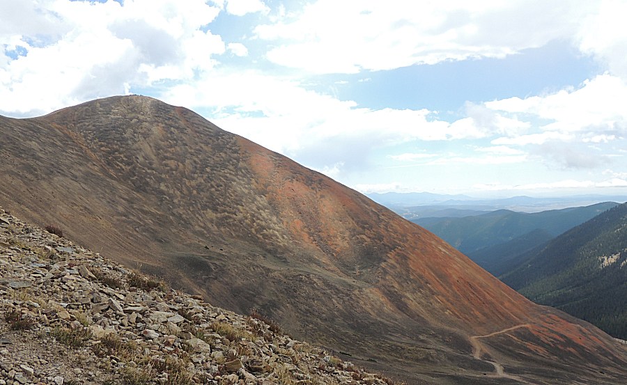
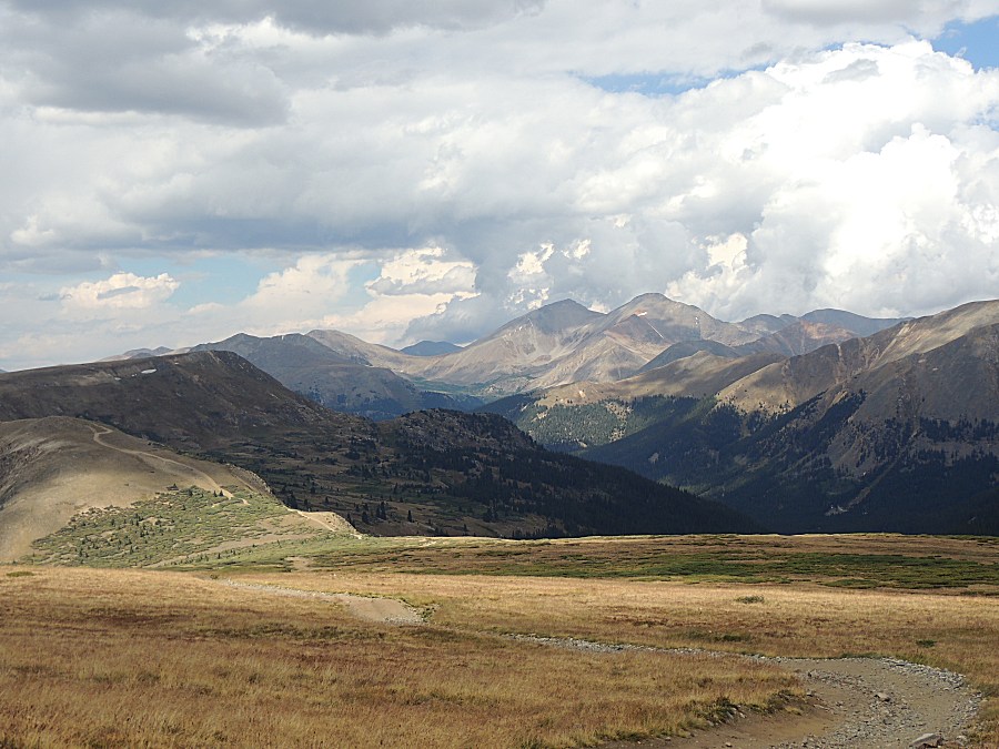
| Looking easterly down the North Fork of the South Platte river. |
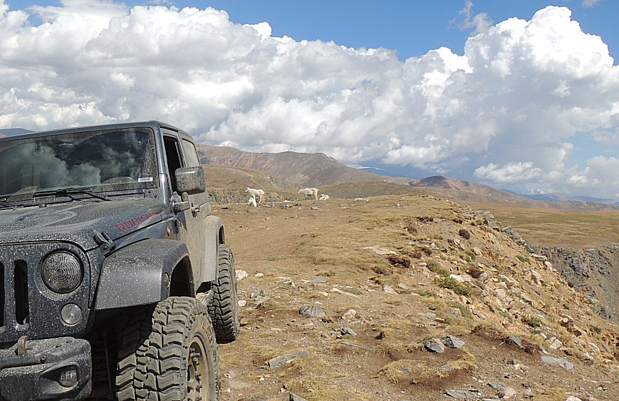
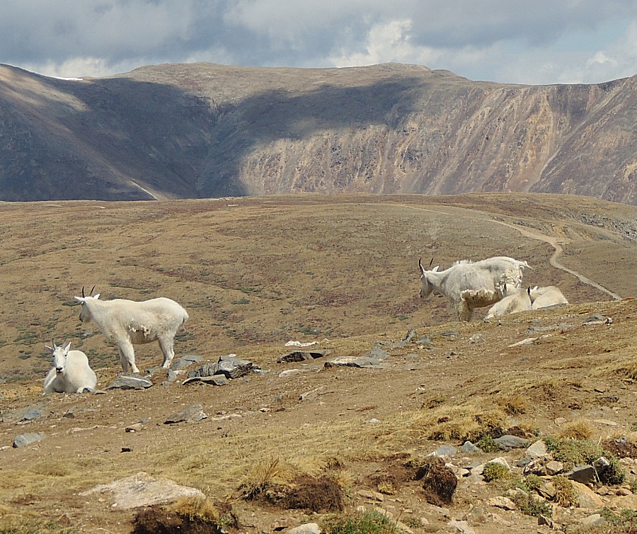
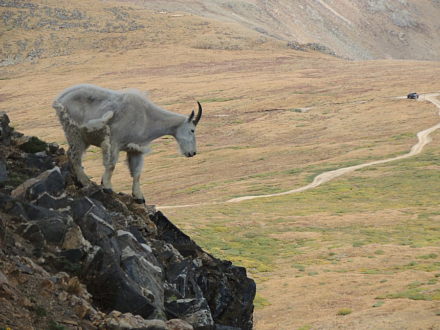
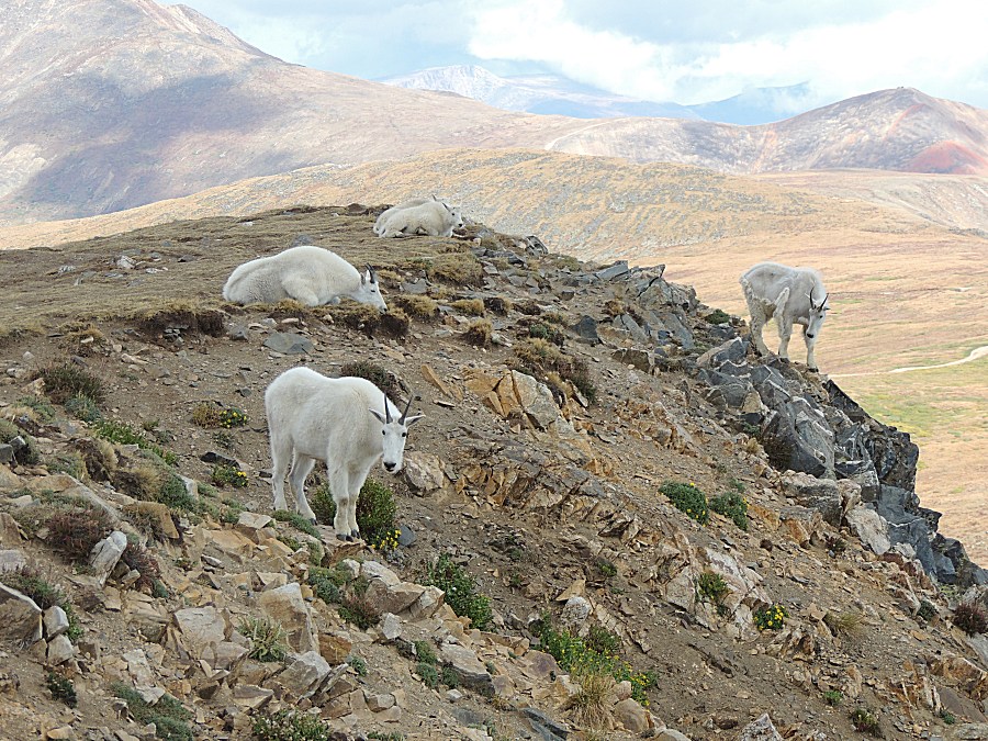
| We're
headed out to the cabin at Wise Mountain. The mountain goats were not
at the Radical Hill spot - but they are up at the peak in this picture. |
| A family of five |
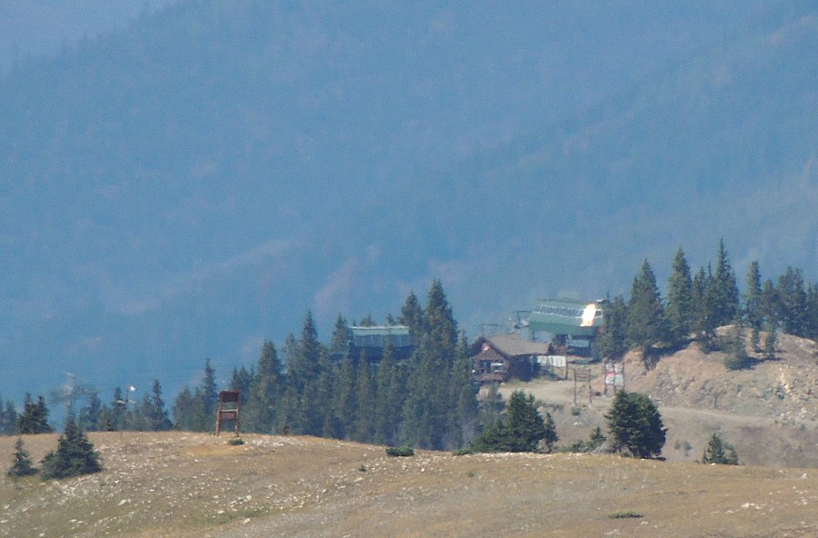
| A couple ridges north are the Keystone ski lift houses |
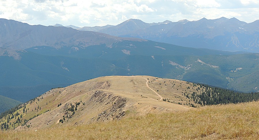
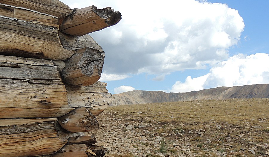
| We're headed to the cabin at the end of the road - atop Wise Mountain. |
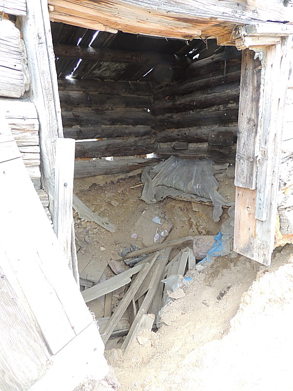
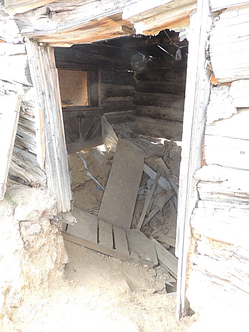
| It's in poor shape. |
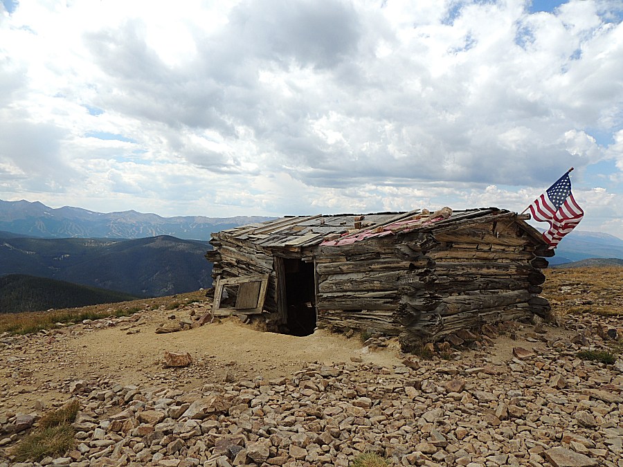
| Did it have a basement? |
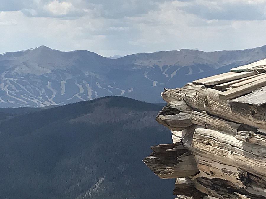
| Ski runs of Brekenridge |
| A second cabin nearby |
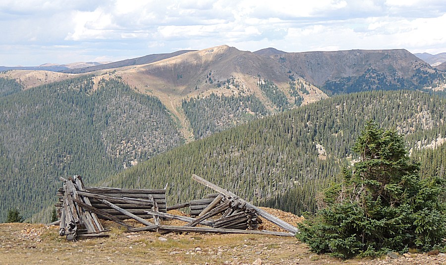
| Looking back at the Wise Mountain cabin. |
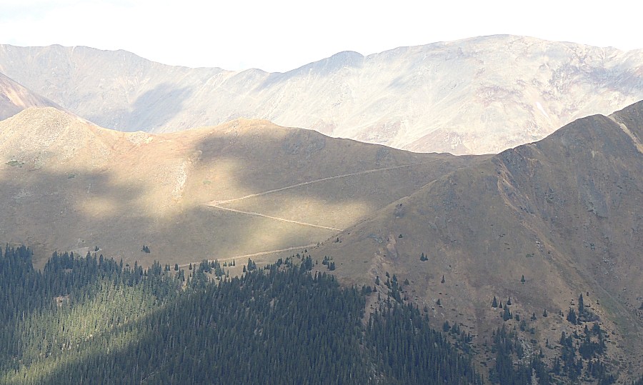
| On the Saints John trail - headed north. |
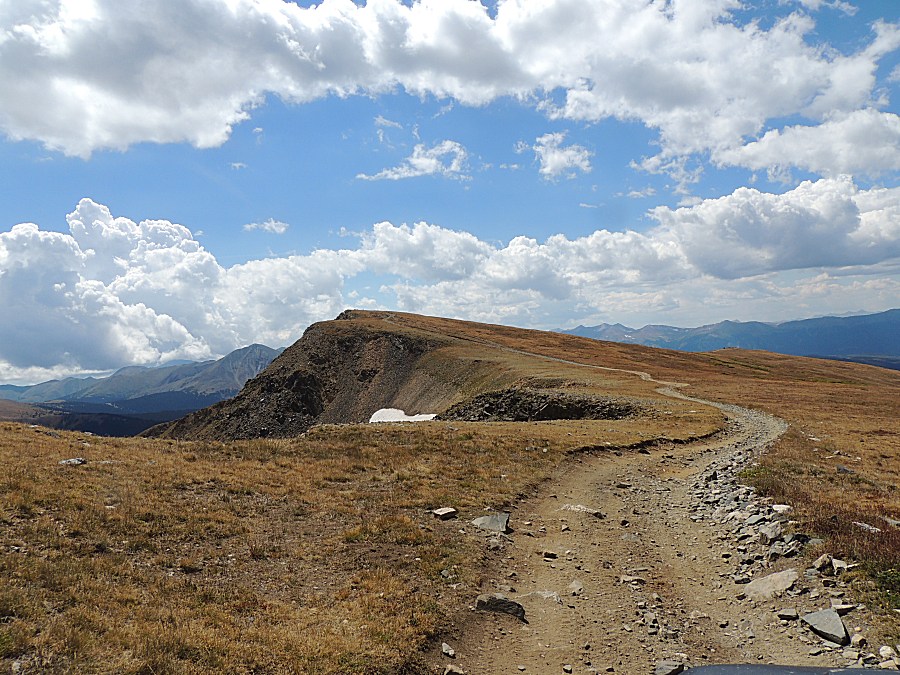
| Some trail visible here. It follows the ridge to the right with a lookout spot at the far right - Glacier Mountain. |
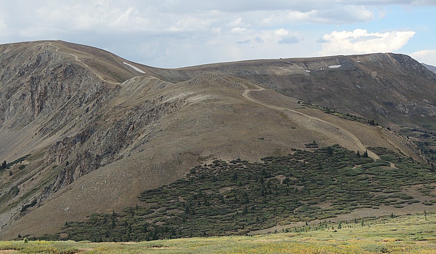
| A trail I have yet to travel - Santa Fe Peak |
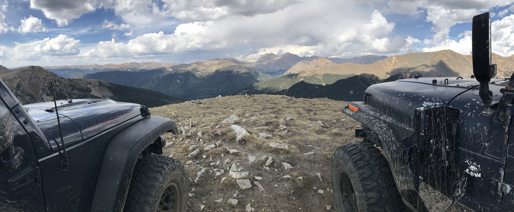
| Atop Glacier Mountain 12,443' Panorama Click for a larger size |
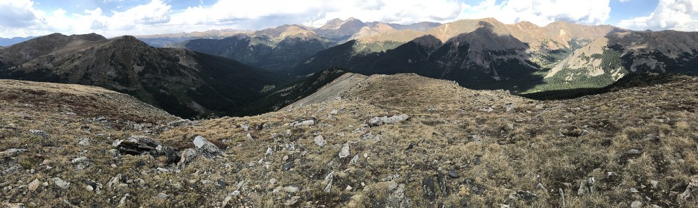
| Panorama Click for a larger size |
| Panorama Click for a larger size |
| Two different exposures (no HDR available) |