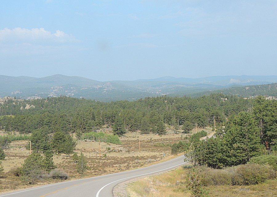
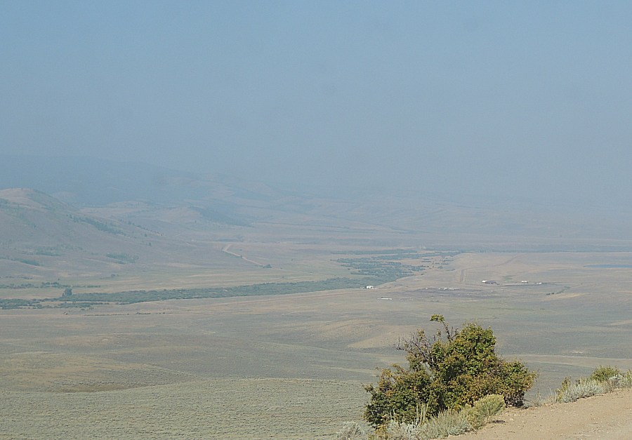
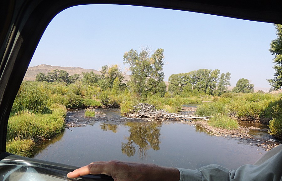
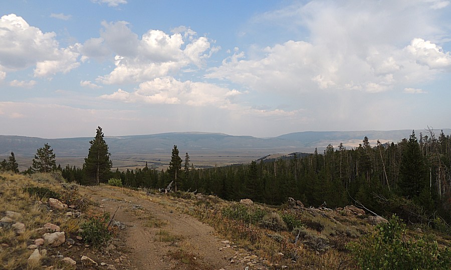
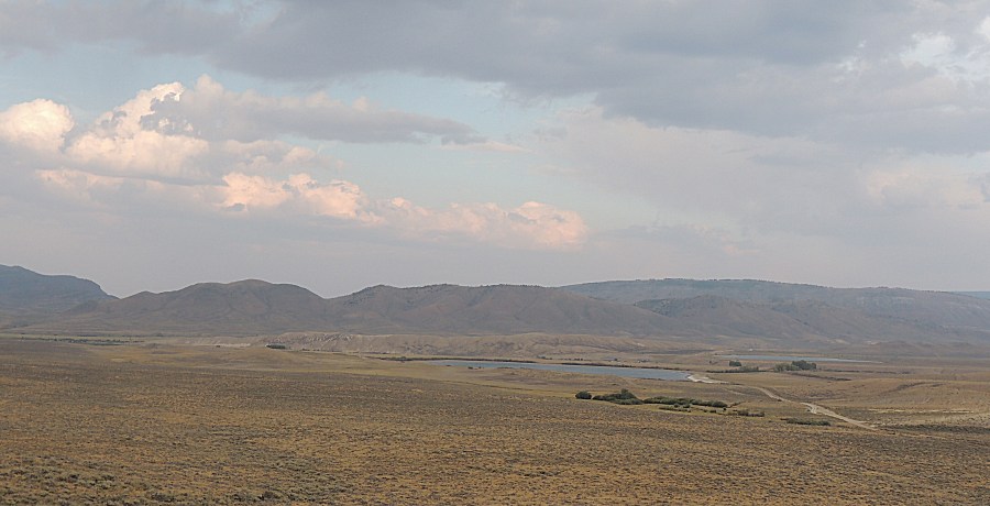
The air is smokey so the long views will be muted. A small group is
heading to the Medicine Bow mountains for deadfall clearing and some
exploration of the southern trails.
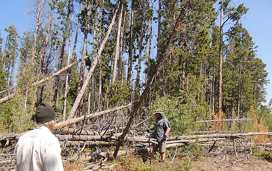
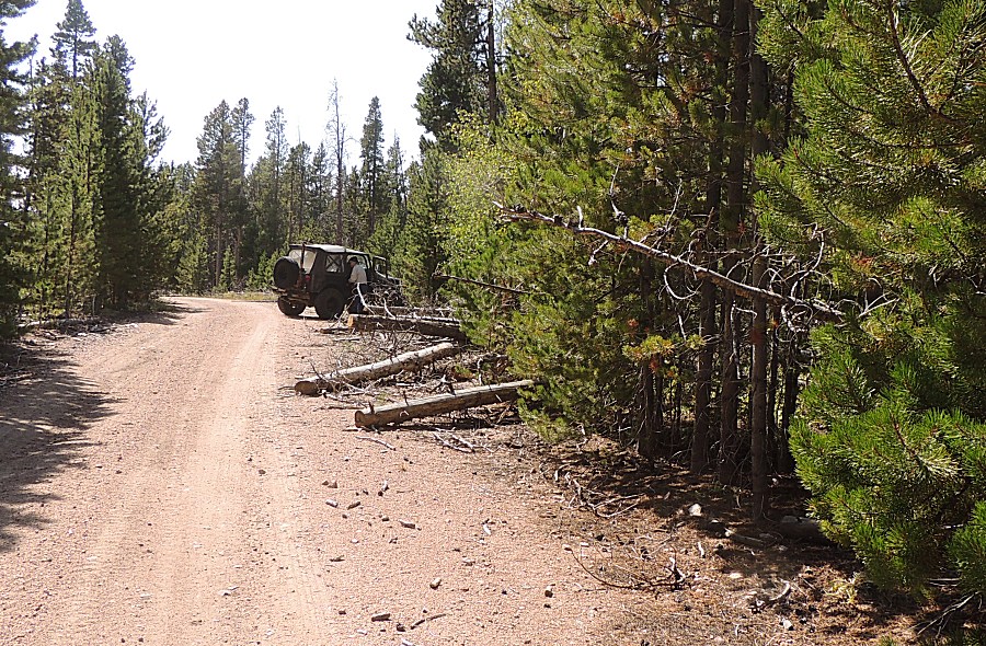
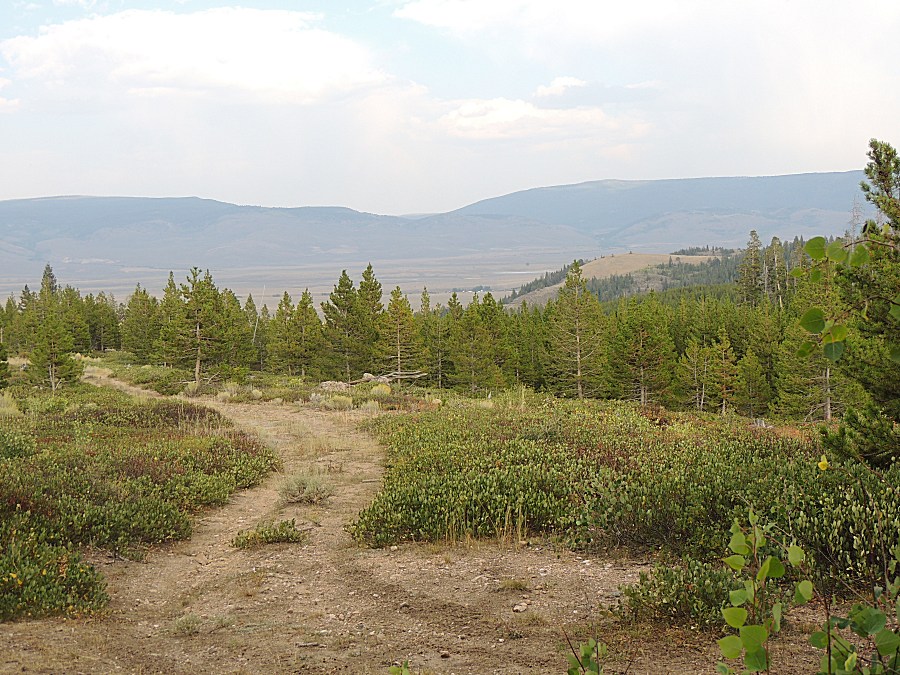
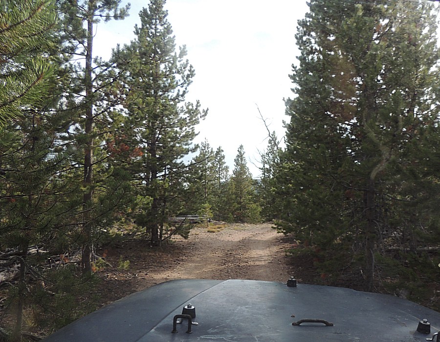
We cleared trees until we had enough of it and then we decided to head
south to see what was down there - none of us has traveled the southern
end of these trails. We stopped at a campsite by a small stream (no
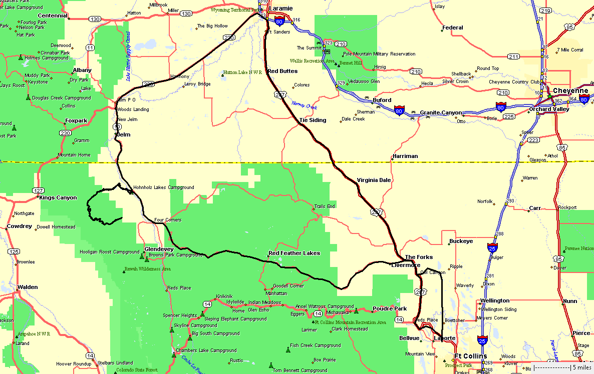
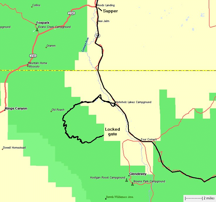
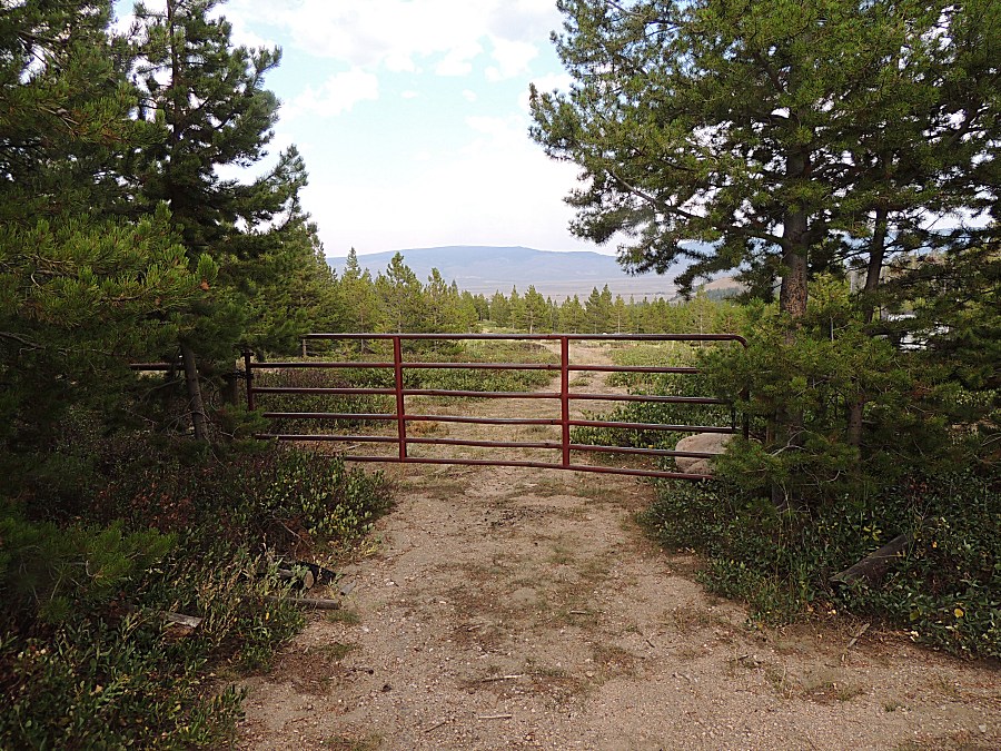
pictures though). From there we headed further south to see if a gate
was open, allowing us to exit. Sadly, the gate was locked and we would
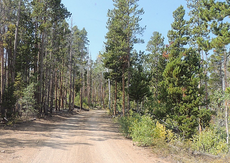
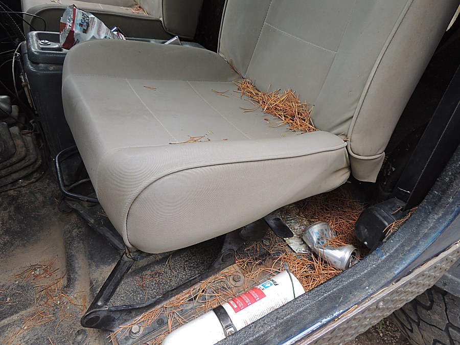
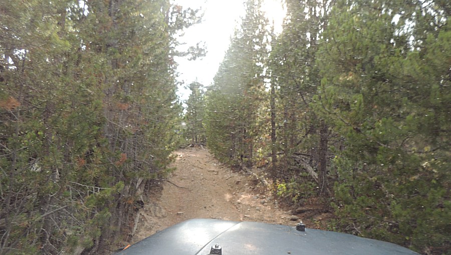
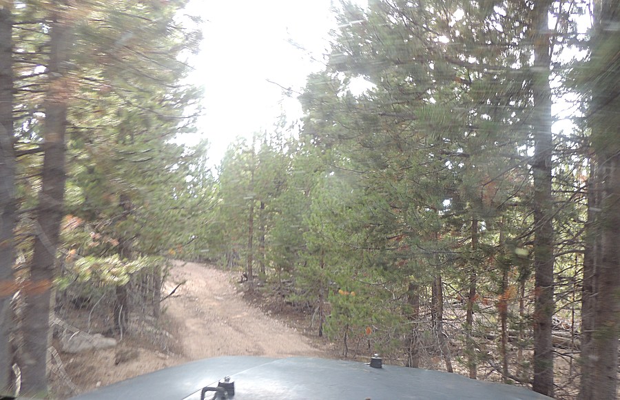
need to backtrack. The southernmost trail was very tight with pine
trees brushing against the jeep on both sides. Pine needles filled the
jeep.
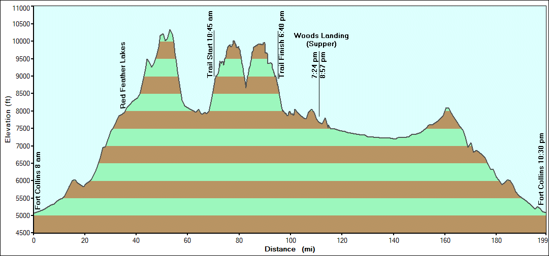
We headed in via the slow, curvy Deadman road west of Red Feather Lakes
and headed home via the longer but faster asphalt via Laramie. At Woods
Landing we stopped for supper. Good food, nice atmosphere.
|